the thing with the accuracy of our home and hometowns. For my oppinion is the House where i life, is not really accuratcy becausxe of it isn’t modeled good enougth that i can realize that this is my house where i life.
Also, my home town from the accuracy is not really good modeled. i mean a lot of the houses dosen’t looks like a bit like in reallife. Yes i can realise the form of my hometown but not more. Also i can’t realize some of the hills that we have here.
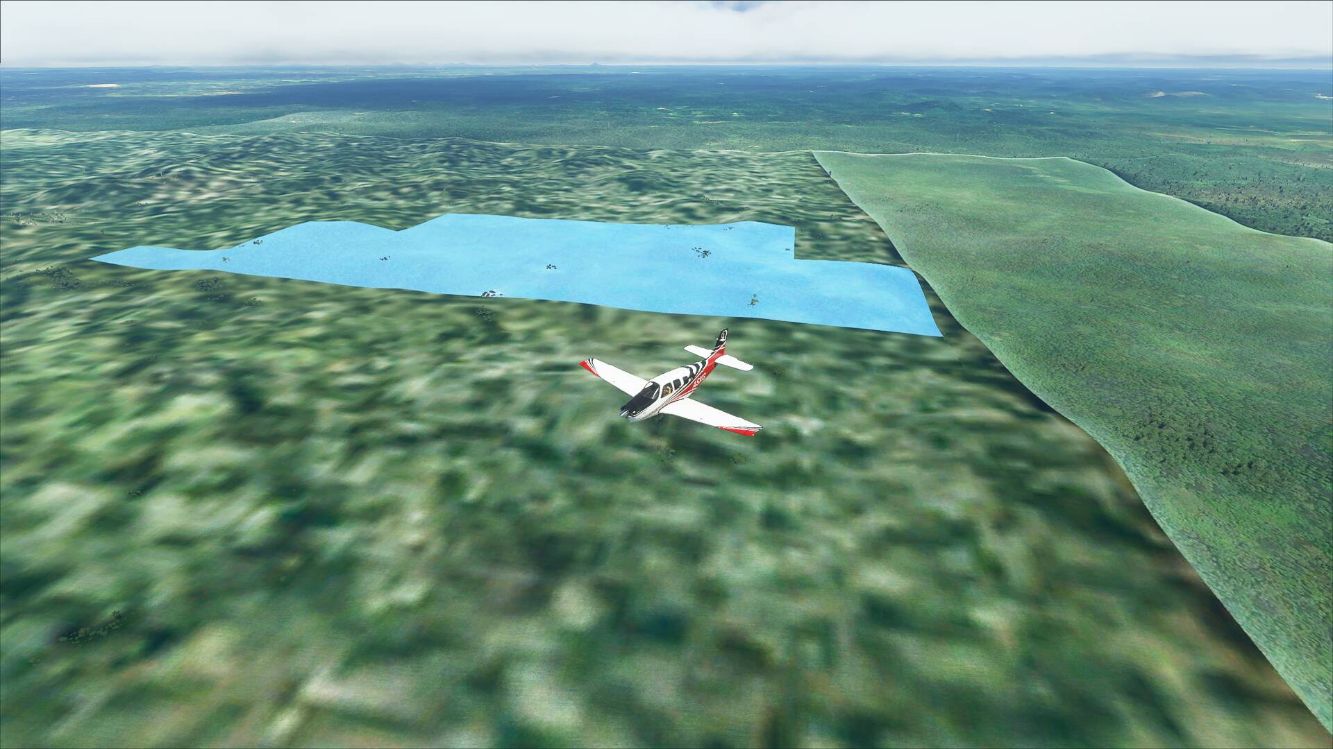
Also some of the Satalite images worse and blurry in my homeregion. I mean on the Sattalite image i can’t see my Hometown or my House. Also the look of some buildings are false . so we have here a sports hal lwhich looks like a Big House or office building or the farms here are normal houses and dosen’t looks like farms in the msfs 2020. Also Churches,cathedrals, castles and more complete missing here or only looks like bad castle ruines.
Also the home Airfield and the Airfields in my Homeregion are not really accurate because of the to big hangars and a tower is completly missed.
What do you think about the accuracy in the MSFS 2020? Will we see in the future better and more accuracy of our hometowns and homes where we live?
Last but not least few buildings of my hometown and homeregion are a bit accurate here in msfs 2020. And i know the main priority is Flightsimulation and the right simulation of the Aircrafts.
It’s been pretty accurate here. I’m in Phoenix Az and If I fly from Sky Harbor airport to my house all the stores and gas station are accurate along the way.
I was flying in the city I grew up in and my high school was there.
It’s pretty obvious to me that some regions of the world have received more loving attention than others. I guess we’ll have to wait for future world updates to bring more realism to those neglected areas.
That pleasses me for you that you have a really accurate hometown. But my home town is a little village in germany. I think bigger citys have better and accurate datas then small villages or regions with lesser population. But maybe we have in the future with future updates betetr and more accurate datas.
I love that in todays day and age, this is a concern for you. I say that because for decades, us old timer flight simmers have longed for the day where we had satellite level scenery. The fact that you are talking about your specific house not displaying right, means that we are in a good place flight sim wise.
I wonder if one of the upcoming world updates might be a “low population density” update, where they pick way out of the way places all over the globe to focus on?
My guess though, is they are looking at the game sale data, and making decisions based on the locations of the highest sales numbers, combining that with the in-game departure and destination airport data. Those two metrics will please the most people, the quickest.
Thats a difficult one @anon5812396 I mean there’s only so much information you can get looking down from 2000km. Blackshark.ai are evolving the AI part all the time which is often why we get anomilees from time to time but it’s never going to be truely accurate because the data just isn’t there.
The best we can probably hope for is that data can become more regionally focused and therefore the AI can make more sense of it but that’s unlikely to happen to Germany unless it’s covered by a World Update which hopefully it will be soon.
Sorry to be the bearer of bad news, I feel like the Oracle in the Matrix films.
I mean the quality or the look of this simulator is good enough that i complaine over the inaccuracy of the house and my homeregion where i live. i mean the next step would be its looks a bit worser like reality with look of computer graphics.
A top down view can’t tell you what a building or feature looks like in 3D. You can only teach an AI so much without more corresponding data. That’s why all the bridges in the world will likely need hand crafted polygons unless there’s a breakthrough teaching it to build it differently, say if oblique or side views are available and could be ingested by the AI.
Satellite photo Quality is partly driven by sales and reuse. If you live in someplace where very few are interested or needing sat photo data, chances are the pictures are poorer quality and fairly stale/old.
These are some of the current realities in trying to map and render the real world in a sim.
I happened to live near one of those photogammered cities, Pensacola, FL.
The whole area looks pretty accurate. The airport (KPNS) is pretty close and all the roads, homes, businesses etc in the whole area extending out 15-20 miles are spot on.
Even the Naval Air Station Pensacola (Home of the Blue Angels) is pretty close. I worked there in IT and flew low and slow right over the golf course and over the buildings I worked in. Everything looked pretty good.
Guess we are some of the lucky ones living near or in some of the satellite photo enhanced cities.
You live in an area that has no photogrammetry data and low quality satellite imagery. Therefore, your area is auto-generated by AI. It has no data on what your house or other buildings look like. All it knows is the location and the footprint of the building. The AI will place a building there based on those parameters.
When satellite imagery is of particularly poor quality, the AI doesn’t really know what to do with it. For example, the town I grew up in is half covered by high res imagery, and the other half it terrible. As a result, only half of the town is actually rendered by the AI. Streets are where they’re supposed to be, but it looks like an empty town with no buildings for half of the town.
It is what it is. It could be worse. You could be flying another sim and have it be flat terrain textured by said low quality satellite imagery.
My house is the incorrect shape at street level, but they did capture my pool correctly and I was literally able to VFR navigate from my parents ’ house to mine 30 minutes away using nothing but follow the roads and highways. Bing Maps where I am is very accurate, and even though I’m not in a Photogrammetry city/region, it’s very recognizable. That was one of the first “The Magic is Back” moments I had in MSFS.
I can navigate around my area by following the roads and the river. Sure I could do that as well in FSX with add-on high detail sat imagery but now it’s standard with auto generated trees and buildings added on top.
But true, so much is still missing. My neighborhood doesn’t look like the real thing at all. The houses are completely different. My house even changed into a completely different house after an update. The river has hills in it, the train tracks and high train bridge over the river are completely missing, as well as the dam and low waterfall. The other bridges don’t look like the real thing and other prominent landmarks are missing as well. Churches, cell phone towers, radio masts for example.
But I can take off from my local airport (Brantford, Canada) and fly to my house (or the location of it) vfr no issues. Photogrammetry will improve it but that’s a time consuming process not available in most places. Plus that has issues as well.
PG works well for big buildings, makes a mess on smaller things and non solid objects. Trees look pretty bad with PG data.
It will get better, this is the first time PG data is used in a sim afaik. Better capturing, better optimization, we’re just at the start and its pretty amazing how well it can work under the right circumstances.
I’ve been really impressed so far. In most cases it’s clearly AI modeling from aerial / satellite imagery, and sometimes it seems like you get a generic building model and sometimes you get a pretty good representation of the actual building shape with bits of the imagery mapped onto it (for better or worse).
It’s mostly like looking at Google Earth in 3D mode, but for FS it’s still really quite immersive and you can actually navigate by reference to landmarks you know and not have to worry that the scenery is just all made up as in the past.
It’s not perfect but it’s way beyond “good enough” and anyone expecting a realistically hand-modeled version of 50 billion buildings should adjust their expectations (IMHO) lol. And the AI will likely just keep getting better over time. Yes, there are some places and plenty of unusual buildings or other structures that it doesn’t magically figure out yet.
And for worldwide coverage, I think a lot of (if not most of) that great-looking “satellite” imagery that makes this possible was actually taken from airplanes, so it’s not too surprising that we don’t have this level of detail for many countries (including some where a camera is still considered a spy’s tool).
Honestly, I’ll take the scenery in MFS, both the good, and the bad, over Ex-Plane with Ortho4XP. Both have issues, but MFS is the hands down winner in the scenery area.
I had turned o f the bing world grapic data and i turned it now again on but the ground isnt actual and is blurred. I think this is a streaming issue from the server. because on Bing Maps the Ground Szenery is really sharp and quit actual