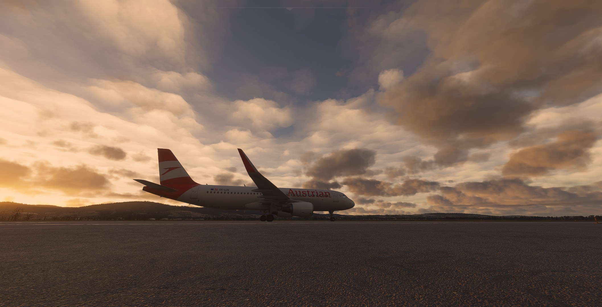
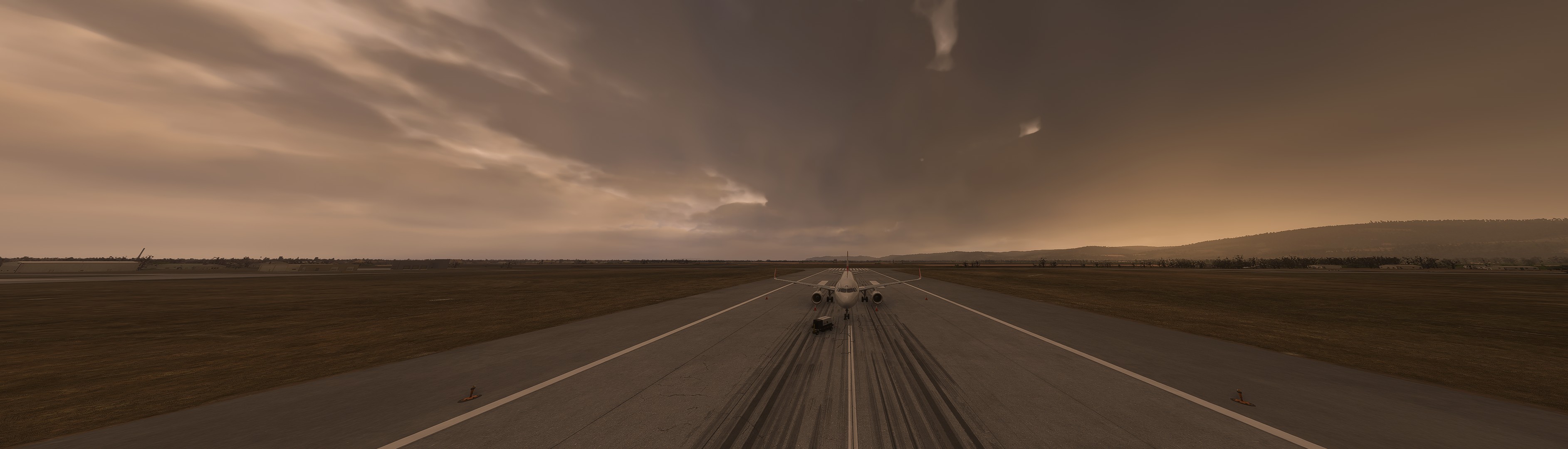
Case in point:
Single digit, steady wind indication on the G1000 and no movement of the airframe whatsoever.
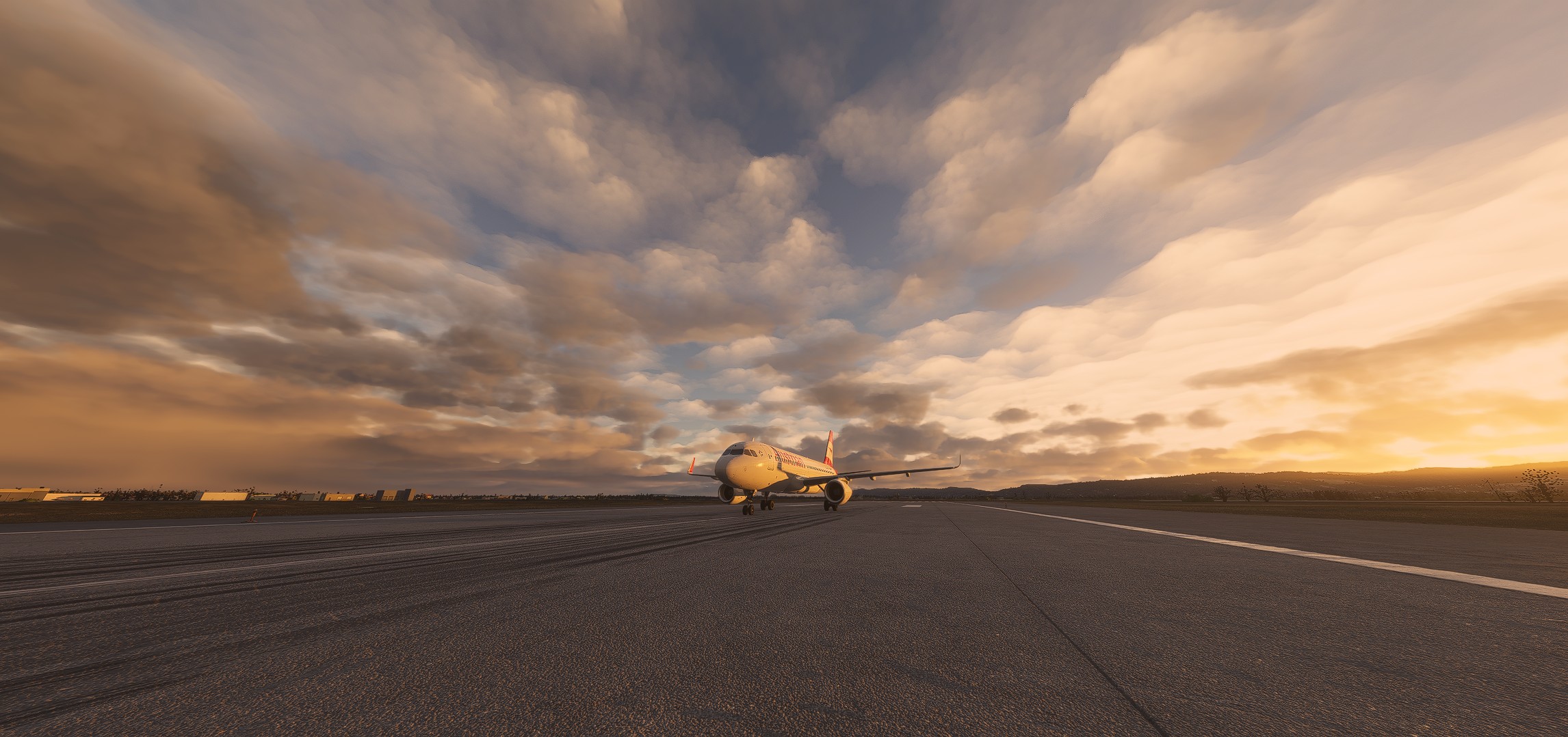
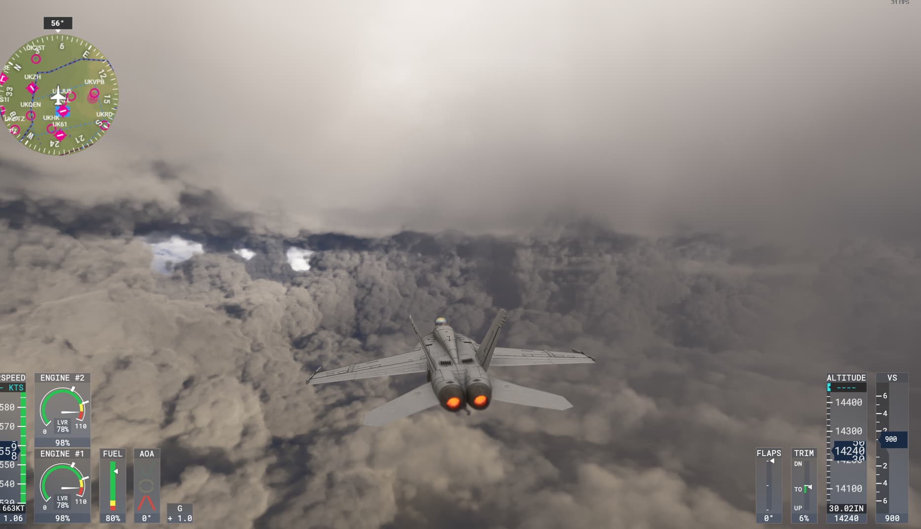
Case in point:
Single digit, steady wind indication on the G1000 and no movement of the airframe whatsoever.
Yeah, this sort of thing is very much a gimmick, it looks cool but there’s no real physics or challenge behind it.
For some users that’s fine, our want and desire for better and more realistic weather doesn’t by any means devalue those users that are quite happy with the missions and these sort of features. All we’re asking for is value to be added to the other side of the user base, us. As it was said above, having dramatic and eye catching graphics and having realistic, accurate weather simulation shouldn’t have to be mutually exclusive.
This is exactly what I think.
The weather has become a stepchild in a software of which it is one of the most essential elements.
i think the only thing that was improved was the representation/depiction of the clouds from below, thats all
those are visibly better, yes, but all the rest seems to be the same
the accuracy of live weather seems to be the same as in 2020, except now it has frequent brutal transitions that tip over your light a/c
the clouds from above if you are flying a tube still look like ash or cement…
and ice and turbulence also seem to be the same as in 2020
so, to sum it up, more eye-candy, nothing under the hood, as with many things in 2024
Hello,
I am not a specialist but visually, I am satisfied with the weather that is represented in Fs2024 for the city of Grenoble in France in the last hour vs live webcam in Grenoble.
Have nice day
Olivier
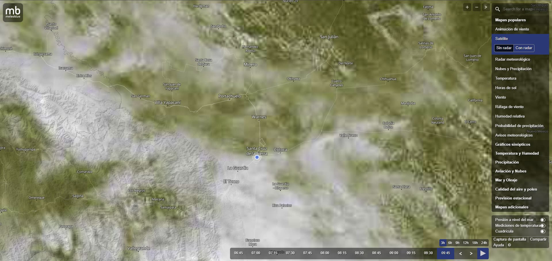
But here is an example of LOXT - typical example of what MSFS cannot display with Live Weather - the above is an example that almost always applies - when there are such clouds !
that’s why there are also these holes in the ‘on route’ weather !
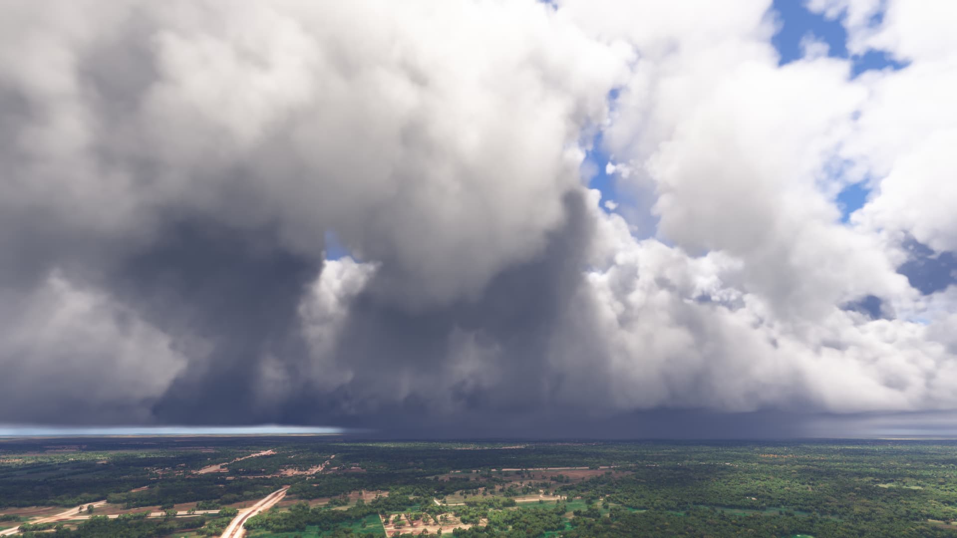
Webcam:
Similar to my experience. The sim does a reasonable job of depicting what i can see out of my window in my local area.
These clouds are typical in UK also and you see the same depiction in MSFS in these areas of the Uk, really poor depiction.
i don’t know how much time we have to wait until the day where we can enjoy fully the live weather
Yes I hope at some point - it’s been ‘bug-logged’ for over a year!
You can see that the engine tries to put a layer over the lower clouds, but this no longer works since SU5/SU6 MSFS2020 (METAR addition). For some reason the cloud layers are blocking each other. This is why there is no continuous cloud cover even with weather fronts. It is displayed in the horizontal layer, but no longer in the vertical - by that I mean continuous. Yes, directly at the METAR stations this seems to work to some extent, hence these reports ‘that the weather is right’ - it does to some extent when you are on the ground and in the immediate vicinity. But after that it seems to be interpolated or whatever. That’s why since SU5/SU6 you no longer see long and above all dangerous-looking cloud fronts.
In addition, it looks relatively monotonous on the route from the altitude - you can only see the larger and smaller accumulations of clouds, especially around the METAR stations. Hardly anything has changed compared to MSFS2020.
If, on the other hand, you use Active Sky FS and load the current weather via a station, you can see that the altitude and cloud types do change - but unfortunately this is then distributed across all stations, because there is no other way to do this with an external tool. That’s why the weather with live weather, of course, sometimes looks good and what you see in IRL, but after the 10th flight you realise that it’s always the same and there are hardly any variations. some people don’t mind as long as the weather at the departure and destination looks more or less the same, but some do. Besides, the weather is supposed to be challenging and often surprising, whether IFR or VFR - that’s one of the things that makes ‘flying’ so special!
But yes, you have to be happy that you have this, maybe you should concentrate less on the details which, in my opinion, are very important and immersive and just enjoy what you have, whatever it is.
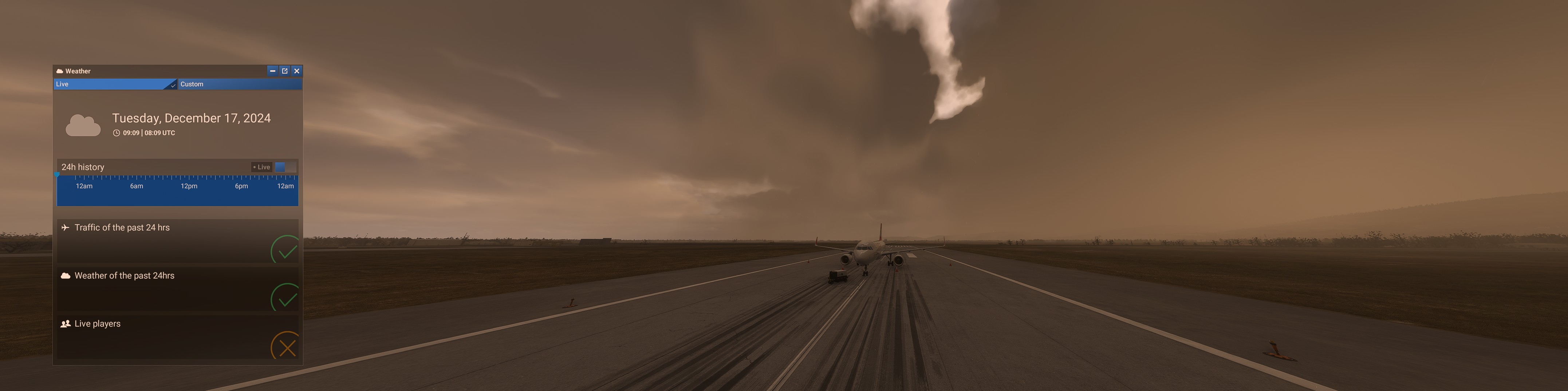
So now it has left me no peace (just like the long loading times with the ‘loading language’ - probably due to FPS limitation and also longer loading times - I have already posted this elsewhere)
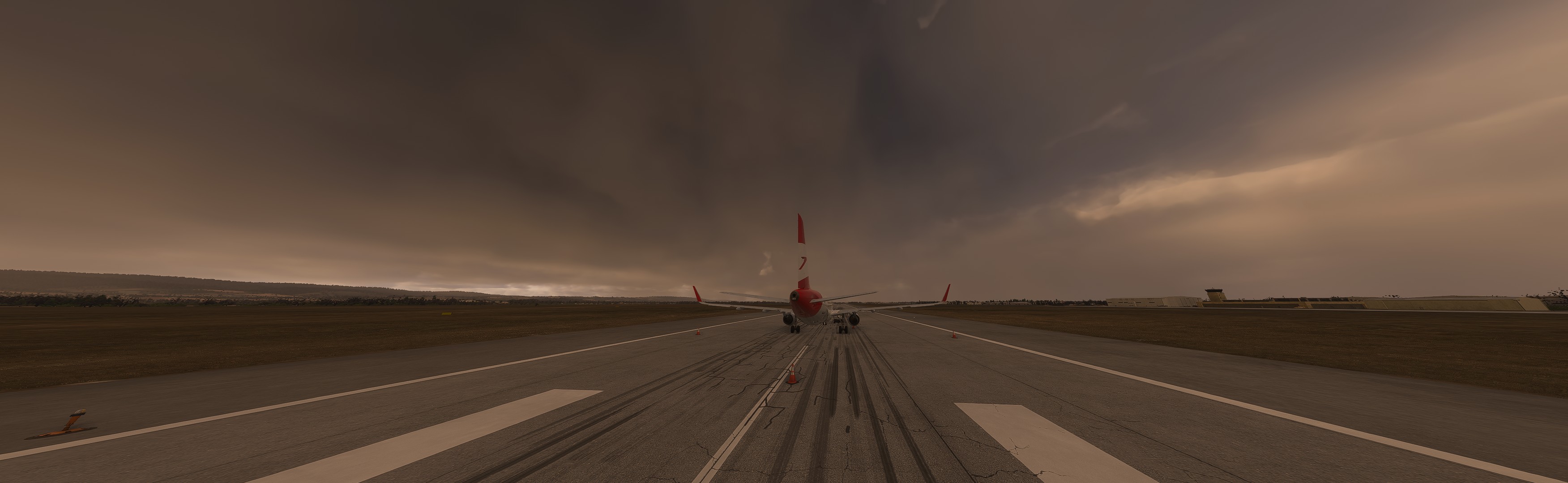
As I said, I had no calm and have now taken the same station, turned back the time and then set it to historical weather and look there:
suddenly it looks completely different - well what have we stumbled into ![]()
![]() ?
?
I think this will be a bug report for ‘current weather’ !
but to be honest, maybe don’t say anything, because knowing asobo, they will rather adapt it to the ‘bad’ example or is it just because they have more data about the ‘past weather’, maybe it’s better to just use it without ‘making a show’!
![]()
Yeah overall I think weather depiction has improved, but somehow still looks way too “generic” with various weather situations just looking too similar due to lack of variety in clouds and visibility.
Fine if the developers don’t want to do a better job (because it is decent I’d say, just far from great), but just wish in that case they’d open up the weather engine to the likes of activesky. I like their product but them having to work with presets is a bit of an immersion killer for me - doesn’t allow you to see different weather in the distance and hence weather is the same in every direction.
That said, think the request to open up the weather engine has been on these forums for ages and never been positively responded to (think it had to do with Meteoblue?), so don’t think it’s ever going to happen. Which is a shame given that they do have great partnerships in other parts.
how can you enjoy flying while you’re seeing this horrible depiction, i can’t believe that after 3 years we’re still seeing this mess !!!
Real weather sucks but grass looks great, flowers are there and animals… ![]()
![]()
![]()
![]()
![]()
I think that all would be great if they just remove the “flight” word from the msfs 2024 ![]()
I think this problem is closely related to the data provided by meteoblue.
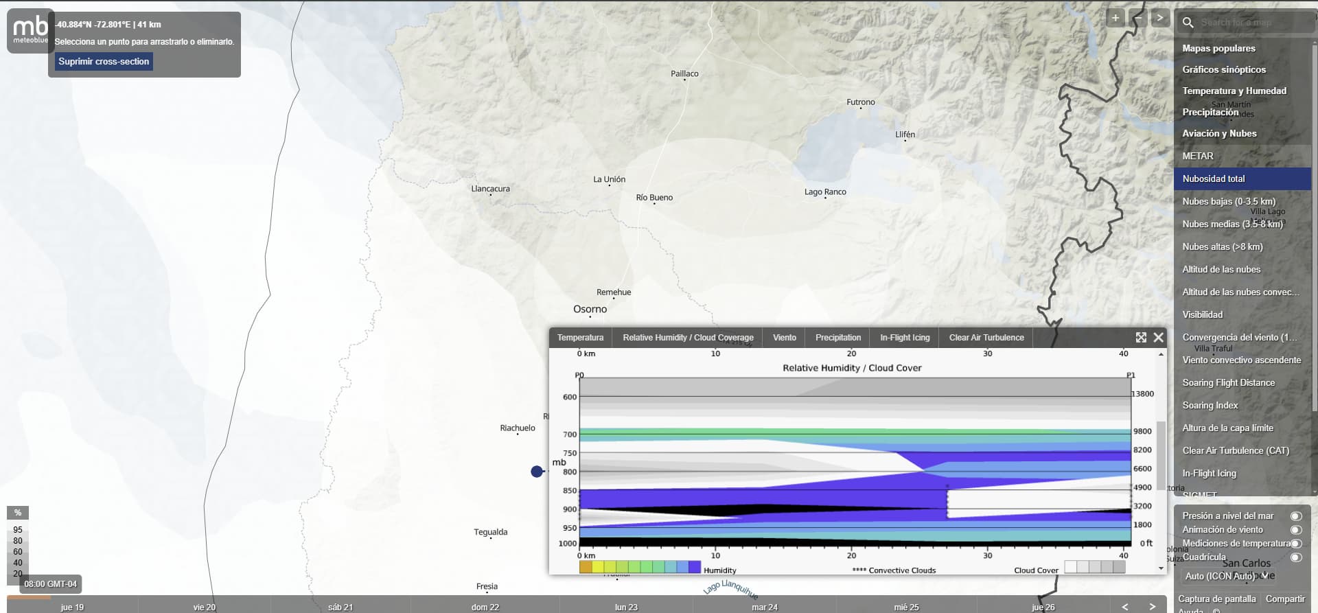
If you can see in the example I show you here, you can see how the metar data is different from that provided in the vertical cloud section. The metar is correct, showing 2 layers of clouds, but the vertical section shows as if there were cumulonimbus from 2500 feet to 20,000 feet, all as a single layer. That is what the simulator shows. Therefore, the data provided is incorrect and the simulator only generates clouds with incorrect data.
On the other hand, when meteoblue shows data closer to reality, the simulator can generate clouds of a better quality as you can see in the following example.
This is all true. The problem is thunderstorms are fairly ephemeral - individual cells exist in a relatively short time and place. The farther out the forecast of thunderstorms, the more generalized it is in time and space. It’s not until they initiate, often later in the day, that they become more predictable as to the spatiotemporal extent. If they organize into a larger squall line and/or mesoscale convective system (MCS), then they do become much more predictable until they eventually wither. Sometimes the sim captures this, but again only after they’ve been well established for a few hours and the forecast models start to pick them up and inject their data back into the newer models.
But a forecast model isn’t really specific enough to capture them ahead of time, just the chance of them, within a large area. And if you use that alone, you will have much higher coverage of them in both area and time, which has obvious detrimental implications to flight (sim) operations that operate in the vicinity of (but not directly within) these hazards.
METAR are also too general - sure, it’ll tell you if there’s one over the observing station, along with the type/intensity of the precip, and the ceiling, but not the overall shape, size, or other specifics of the storm, or how the intensity is trending. It can also tell you if there’s lightning nearby and the frequency, type, and general direction - but not the specific distance, movement, coverage, or trending. Not good enough for operating in the vicinity.
The best way to capture the location, timing, shape (including precip height), intensity, and trend, is using radar with support from other observations. It has drawbacks as well, namely it’s not available everywhere and is prone to losing accuracy and/or coverage the farther you get from the site. But if you were to somehow generate storms based on that, you might get some accuracy out of it.
I tend to think that the community sometimes confuses what is technologically possible and not possible with “microsoft is deliberately selling them short”.
Yes. I know live weather is not perfect and sometimes can be pretty jarring going from light cloud to overcast in a second…
But just suppose that they could give 100% live weather in every single location ( impossible), how would the community react with two hour loading times, a single nautical mile of weather taking 30 seconds to stream and a slideshow as the cpu is overwhelmed.
There is a reason why the various met offices use Cray Supercomputers…
Live weather is a reasonable depiction. It is not a great depiction, but I guess they figured this depiction is the best balance of what is technologically possible, streaming bandwidth and differing end user machine capability.
Everything in life is a compromise.
Hmm that may be true - but it’s not about asking for something that hasn’t already worked in part.
And if I promise a customer a Lambo but ‘only’ deliver a Toyota Prius (not now against this car) then don’t say ‘yes she/he expects too much’ !
And it’s not as if the weather hasn’t made certain presentations better.
It’s the same as using the starter for engine 1 for engine 1 in one version and the starter 2 for the 2nd engine and the other way round in the next update and then making excuses about ‘technological’ barriers.
Nobody is asking for the weather to be 100% like the real thing (although that would be great but unfortunately not possible at the moment) rather that it is apparently not implemented correctly to a certain extent.
The engine is capable of rendering certain things (and it was until SU6, without 2 hour load times and supercomputers)
You can also see it in Active Sky FS - things are simply displayed more ‘correctly’ (in places) or do you think that Damian from AS owns a Cray supercomputer?
And I agree with you on one thing, I think our efforts to report these things all the time are actually or probably pointless - they’ve already chosen the minimum of what’s possible in terms of performance and bandwidth and end users.
But then I’m honest and say that in a Q&A and don’t emphasise every time how important the weather is.
Or I submit a reasonable SDK to the addon developers, nothing “easier” than that.
I don’t want to say it’s all negative, I really appreciate the work Asobo and MS do, because they continue to give us the opportunity for our great hobby.
I now also use MSFS2024 as my main sim (besides X-Plane) and am generally satisfied. But with small steps and improvements it would be much better, even without a supercomputer !
But yes, of course, many things are a compromise - you have to be satisfied with what you have!