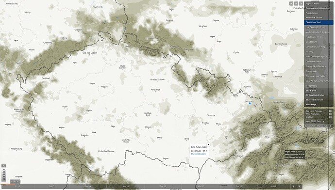
Well, now I really wonder where does MSFS takes the weather data (clouds, “visibility,” present weather etc.) from.
So far I thought they used the NEMS model from Meteoblue, but that doesn’t seem to be the case.
I have also added real time satellite imagery (curtesy of Czech’s meteorological institute - CHMI) and Meteoblue’s maps.
The sky in the game doesn’t match Meteoblue’s NEMS model, the ingame info before starting a flight doesn’t match ATIS, nor current IRL METAR report. It’s really confusing. Just see for yourselves:
This is the current METAR for LKMT:
METAR LKMT 120600Z 00000KT 4000 BR OVC012 04/04 Q1024 NOSIG RMK REG QNH 1019=
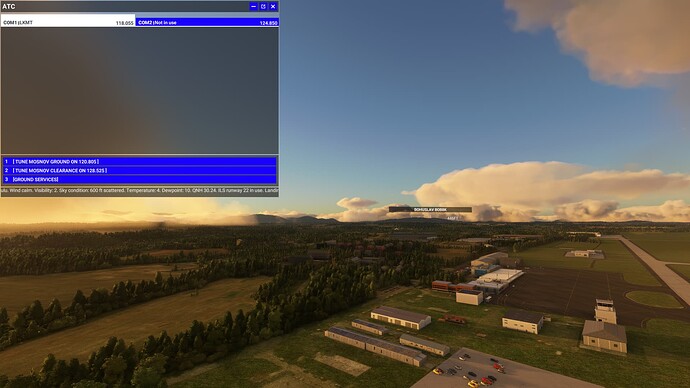
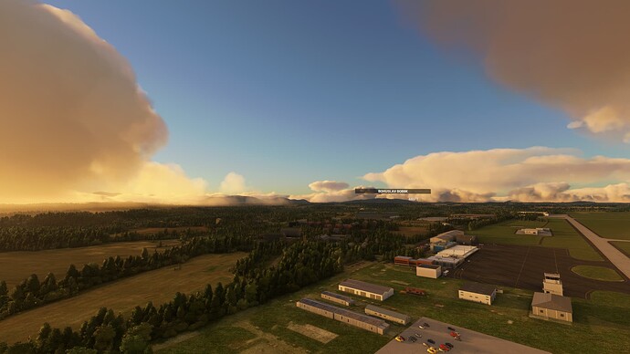
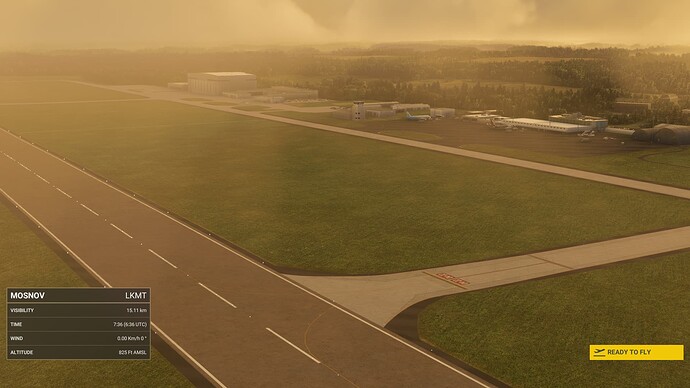
This is how the current weather is represented in the sim:
ATIS is saying calm winds (that is correct with the current METAR), visibility of 2 km (that’s off) and SCT006 (also off).
The intro information is reporting calm winds (true to current METAR) but visibility of 15 km. That doesn’t correlate neither with METAR nor with ATIS.
This is how it looks IRL from a webcam:
Same thing with LKTB, I won’t add it here, you get the gist.
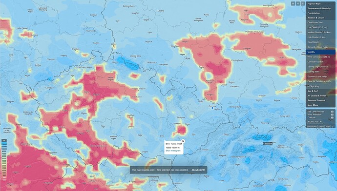
Here is the satellite imagery to compare it with current model predictions. First is NEMS (clouds and visibility), the second is ICON (much more precise):
