I’ve thought for a while it would be nice to have the location of the image used for the loading screens. Sometimes I think that looks interesting I’d like to fly there but no idea where it is.
The scenic backgrounds during load are a very nice touch begging the question as with this thread: Where is that and how do I get there? It would be cool if some location info/hint could be included as part of the image such as GPS coords or country/city in the lower corner
In the meantime, it’s great see that we can always ping the community to find out where something is
What makes you think that the image would be corrupted?
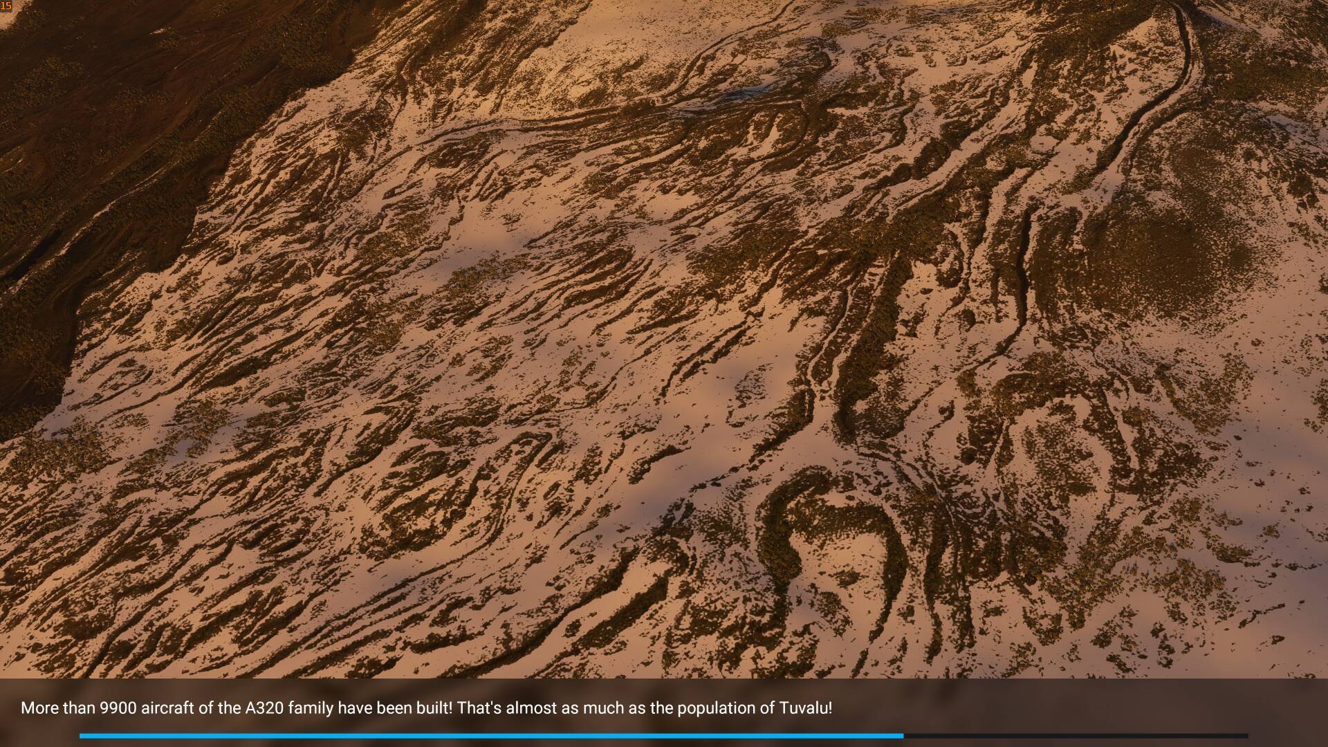
For me this looks like an old lava stream where plant live is slowly getting a foothold. If you look closely, you can see the trees in groups in the cracks.
Probably Island, but snow and lava could anywhere.
I saw that pic too and thought it really didn’t fit with the rest because the others are so colorful. Even if it’s legit, it just seems odd. Anyway, if you want to see all of the images that load, go here (sorry, all I know is the Steam path but hopefully you can logically calculate your MS path if you need to):
MicrosoftFlightSimulator / Official / Steam / fs-base / missions / Common / loading / Freeflight
Ok, sort of nitpicking here. When I select a location to start my flight, it would be nice as that is loading, for scenery of that area to show and not places unrelated to where I am going to fly from or to. Just my 2 cents worth.
CC363, eruopean history goes back to at least before AD, castles, and assorted stuff has been built, destroyed in battle, and been rebuilt. Suggest you do bing search on name of location and see what pops. In USA, american indian was here long before AD, even before vikings landed east coast USA, think around 900 ad or so. Lots of old stomping ground around country. The pebulo tribe built into side of clifs, and one day they up and left, no one has yet been able to figure out where they went or why they left, and they took all their stuff with them. People, all peoples can be strange lot.
Despite the posted info and map I could not locate this POI, does not appear to be identified as a POI in MSFS either which seems a little odd.
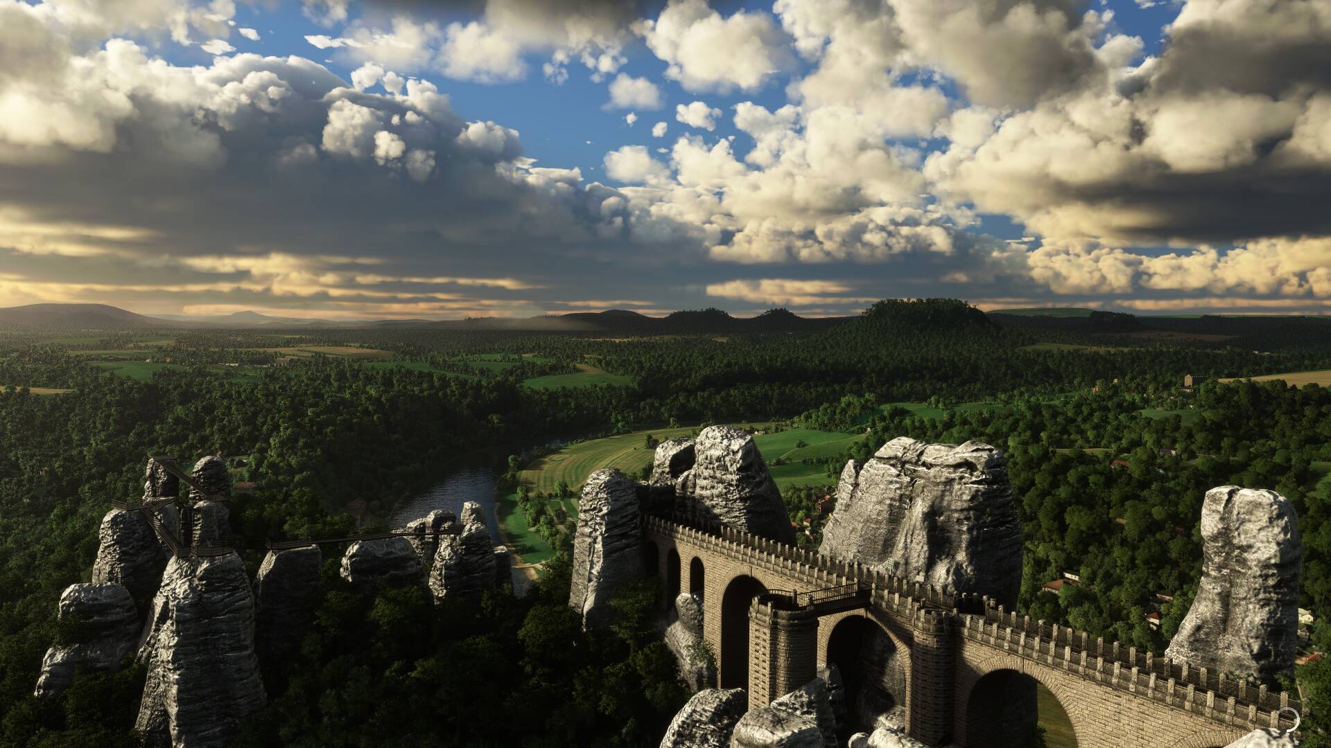
Land at EDAR
Follow the river to the East. When it loops back to the Southwest, at the most northern side of that bend lies the Bastei.
It definetly is marked as a POI, with an exclamation mark, meaning it is recent. https://www.saechsische-schweiz.de/en/