Hey guys, is there any quick and easy way to find out the minimum safe altitude for a flight plan? I remember the default flight planner in FSX did this.

Which kind of minimum altitude and which type of flight plan? MSA is really only used for terminal procedures, otherwise it’s MEA, MOCA, OROCA, and other transitory ones for IFR (plus minimum vectoring altitude, which only ATC sees). For VFR, you can use maximum elevation figures (MEF) based on map quadrants.
Otherwise, yeah, SimBrief should figure it out for you.
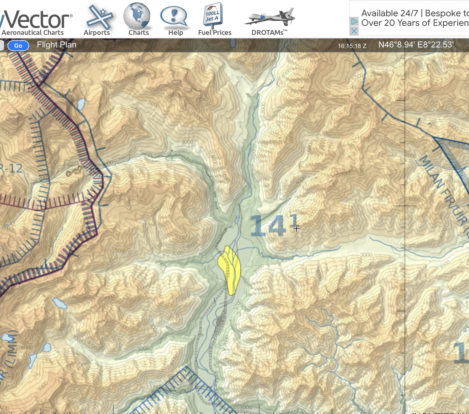
SkyVector can’t do this? It’s better if I can drag and drop the route while planning. Again, ideally this would be in the sim itself.
LittleNavMap will do also this to an extent. I haven’t messed with it to see if it will follow regulatory minimum altitudes, but it will certainly tell you if your planned path will intersect with terrain. Offer unfortunately still void for Xbox users.
Can you give a short example of an airport pair you might want to fly? And VFR, IFR? I can try to re-create it using several methods and see what they produce.