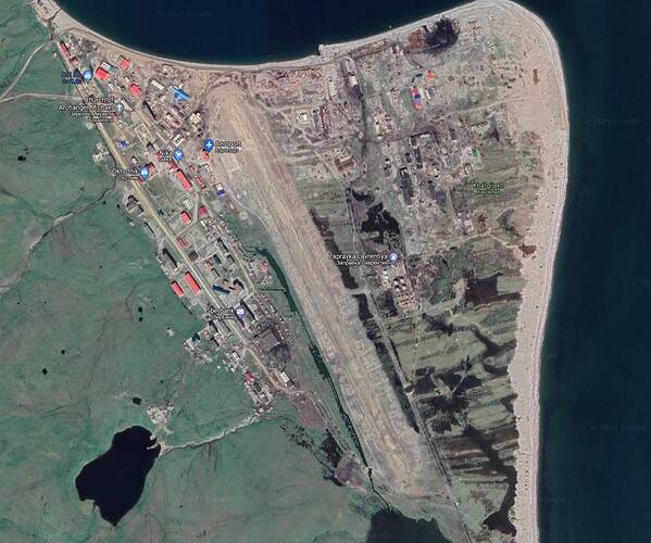
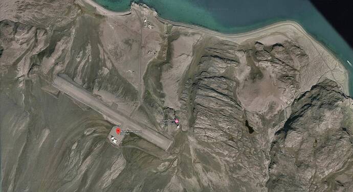
Lavrentiya Airport is an airport in Chukotsky District, located 1 kilometre (0.6 mi) south of Lavrentiya. It consists of a small airstrip with a tarmac. It is the easternmost airport of continental Asia, the easternmost airport on continental earth.
ICAO = UHML
65.58157694533776, -171.0003096486375
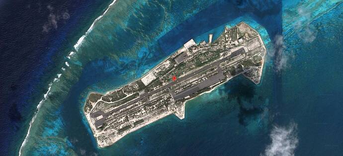
Johnston Atoll Airport is located on the Johnston Atoll in the United States Minor Outlying Islands, in the Pacific Ocean 717 nautical miles (1328 kilometers) southwest of Hawaii.
ICAO = PJON
16.729469041274786, -169.53362433684381
In September 1941, construction of an airfield on Johnston Island commenced. A 4,000 feet (1,200 m) by 500 feet (150 m) runway was built, together with two 400-man barracks, two mess halls, a cold-storage building, an underground hospital, a fresh-water plant, shop buildings, and fuel storage. The runway was complete by December 7, 1941, though in December 1943, the 99th Naval Construction Battalion arrived at the atoll and proceeded to lengthen the runway to 6,000 feet (1,800 m). The runway was subsequently lengthened and improved as the island was enlarged.
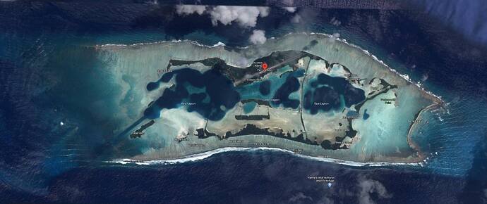
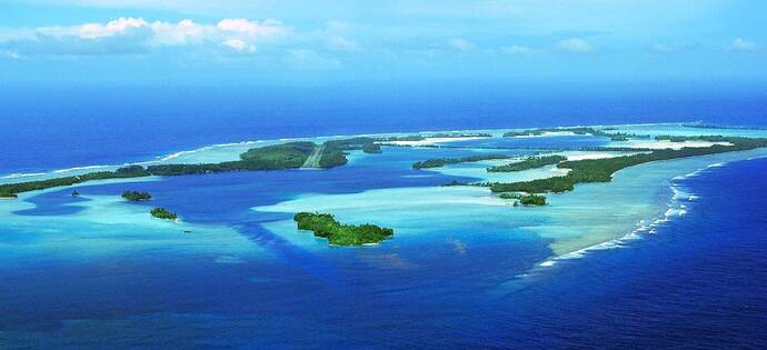
Palmyra Atoll (Cooper) Airport is an unattended airport on Palmyra Atoll in the Pacific Ocean. It is a private-use facility, originally built during World War II and now owned by The Nature Conservancy. It has one runway (6/24) measuring 5,000 ft × 150 ft (1,524 m × 46 m).[18] When built the airport was called Palmyra Atoll Airfield, and later Palmyra Island Naval Air Station as it was a former Naval airfield on the Palmyra Atoll in the Line Islands of the Central Pacific Area. The name for the airport comes from Henry Ernest Cooper, Sr. (1857–1929) who owned Palmyra from 1911 to 1922.
ICAO = PLPA
5.888609336975658, -162.0786655945306
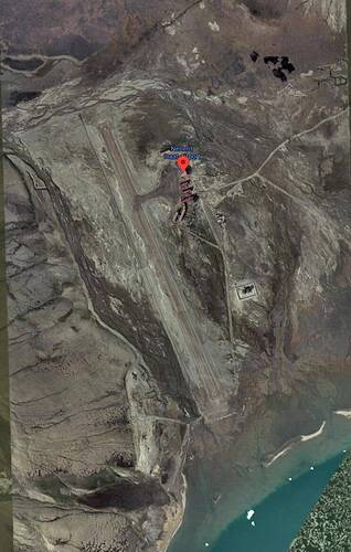
Nerlerit Inaat Airport is an airport in the Sermersooq municipality in eastern Greenland. It is located on Jameson Land and serves the town of Ittoqqortoormiit, approximately 40 km (25 mi) to the south-east.
ICAO = BGCO
70.74325234869653, -22.649090040539665
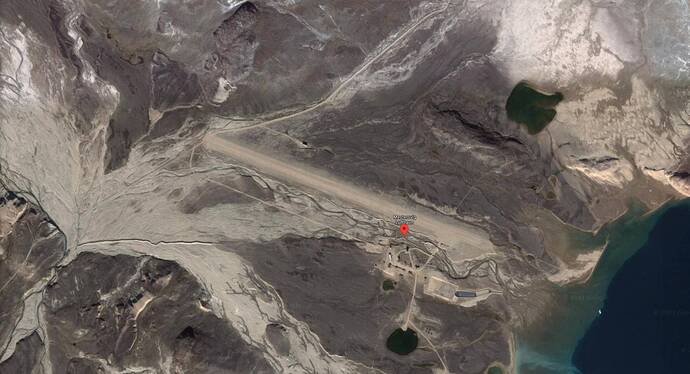
Mestersvig Airport also called Mesters Vig, is a military outpost located in Scoresby Land, on the southwestern shore of Davy Sound in King Christian X Land, NE Greenland. It has a 1,800 m gravel airstrip
ICAO = BGMV
72.23511940745274, -23.922550918075565
Station Nord is a military and scientific station in northeastern Greenland 1700 km north of the Arctic Circle at 81°43’N, 17°47’W.
It is about 924 km (574 mi) from the geographic North Pole, on Princess Ingeborg Peninsula (Danish: Prinsesse Ingeborg Halvø) in northern Kronprins Christian Land, making it the second northernmost permanent settlement and base of the Northeast Greenland National Park and of Greenland as a whole (two stations in Peary Land further north, Brønlundhus and Kap Harald Moltke, are not permanently occupied).
ICAO = BGNO
81.5976439812128, -16.66036336715243
Eureka Airport
ICAO = CWEU
79.9951612183374, -85.84206702310452
Thule Air Base Airport
ICAO = BGTL
76.53146844370131, -68.70356311755123
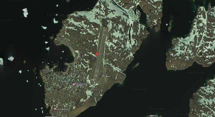
Upernavik Airport
ICAO = BGUK
72.78999239330533, -56.130570486110656
Qaarsut Airport
ICAO = BGUQ
70.7328207297762, -52.69496963104716
Cullaton Lake Airport
ICAO = CA-0107
61.31657463081338, -98.50012369159428
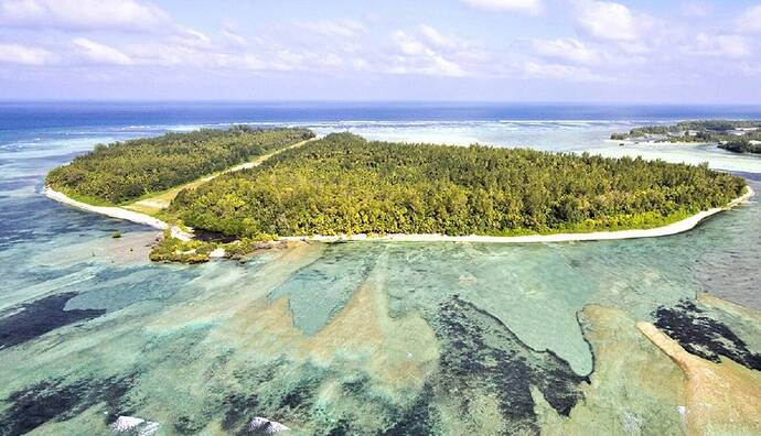
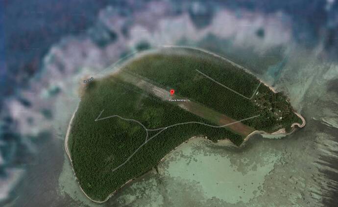
Poivre Island Airstrip
ICAO = ?
-5.74653266120106, 53.30559380807705
