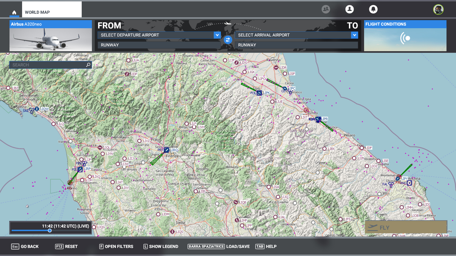
I’ve always wanted to have a map with OpenStreetMap (relief). This is just an example, edited with Photoshop. What do you think? Obviously with the possibility to choose the different map styles, including the default.
I don’t like it at all. Much too messy and unnecessary.
I would love it. I really enjoy to learn about lake names, city or town names, mountain names and such.
I voted yor request but Be aware there is already another post with more votes. You could cast your vote there too.
2 Likes
I think it would be great to have something like this as an overlay option for the world map, but I wouldn’t want it instead of the existing options.
5 Likes
Nice, i think.
Do you know that littlenavmap has exactly that with several different maps to choose. (your img looks like coming from lnm)
And if you want google map def/sat/elev and others then you can download additional maps.
But most on point is that littlenavmap also can be displayed in some form ingame, i have not tried that but only seen some posts about it.
Not instead of the world map though.
4 Likes
Everyone can choose the type of map.
1 Like
Actually, why not add a VFR map for when planning VFR flights, and an IFR low/high route for IFR flights, as options, of course.
5 Likes
Why should a MS product: MSFS, not use a MS product: Bing?
any suggests for a map:
- background map, switchabel to:
** Satelite (low scale with current earth texture, great scale with Bing)
** grey as now
** Bing Maps full
** Bing Maps close to ICAO maps: with relief and hipsometric colours, water line/poly, streets, railway, power line, big obstacles (lightfires) and main city polygons
** overall switchable with/without permament labels for background map - additional vector layers
** IFR low route
** IFR high route
6 Likes
I like it.
1 Like
Why not? Well, because LittleNavMap provides a lot more information, does flight tracking, distance and fuel calculations, and a lot more.
Yes, it takes time to learn, but I have never used the in-game maps - they are cumbersome and more limited.
Then don’t worry about it, you do you and let others vote for something they might like to have. (Besides you’re responding to a 4 year old post)
1 Like