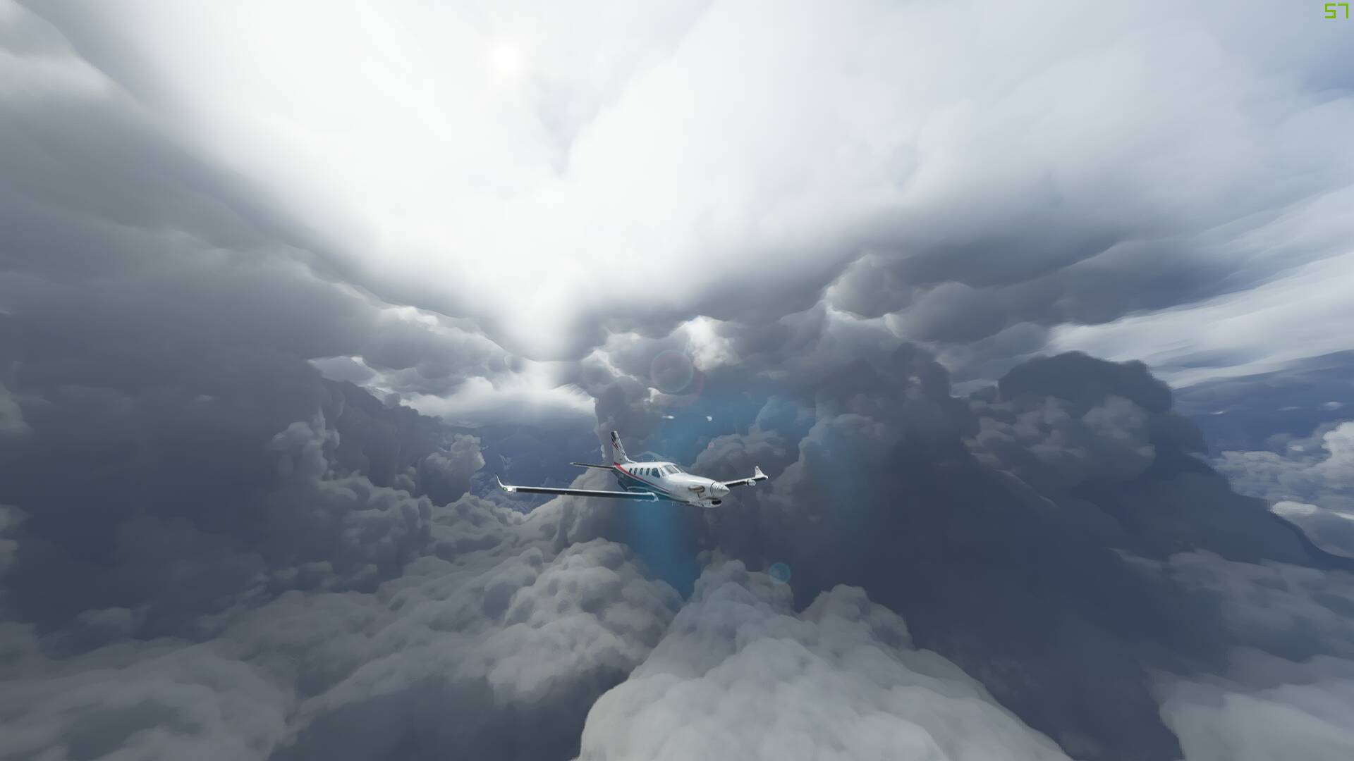
I had the morning off from work today whilst a big cold front passed over the North Island of New Zealand (where I live) so fired up the sim to see how well it was represented, taking the TBM from NZTG on the east coast over to NZNP on the west coast.
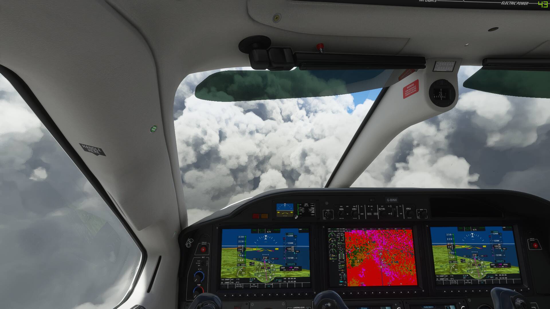
I was pretty impressed at the results, with the thick frontal storm band defined clearly on both the weather radar and moddeled by dense vertical cloud formations along the main trough, with speckled cumuliform build up behind it, with the wind even backing behind as I popped out into the clearer air at NZNP.
Glad your experience was enjoyable. You might want to vote on this to get better representation of weather feed in NZ. Currently Flightsim gets 3 stations covering our country, Which kinda sucks because as you know it can be snowing in Queenstown and sunny in Christchurch and 40 kt gail in Wellington and Auckland can be hot and clear all at the same time. I’m yet to get accurate weather in NZ using Meteoblue data or payware.
Your clouds look amazing. Thanks for sharing.
Hey mate- yep that’s been a bug to bear for NZ simmers since the FS9 days with only 3 stations reporting weather. I’m pretty sure that’s how REX/Activesky work as well, interpolating data from the AA, WN and CH reports and then blending them together but obviously does not take into account New Zealand’s unique weather patterns that vary from coast to coast and are very much influceded by our mountain ranges!
If I’m not mistaken the way live weather works in FS2020 is different though, with the whole world divided up into a grid of 250 million squares, and there being something like 60 vertical layers per grid box with multiple weather related data points on each layer. That data gets fed into the sim from the Meteoblue servers when live weather is enabled that which the sim then uses as its weather rending engine. (Video explaining this here: https://www.youtube-nocookie.com/embed/3AfQGA8i7uQ It’s not perfect of course but better than 3 METAR’s for the entire country!
I need more time in front of the computer to test this theory but it would be good for several of us to try east-west or north-south flights away from the big three main airports to see if we can pick up situations where cloud shelves up on ranges and you get a marked change in conditions from one port to another that reflects the NZ Metservice forecasts.