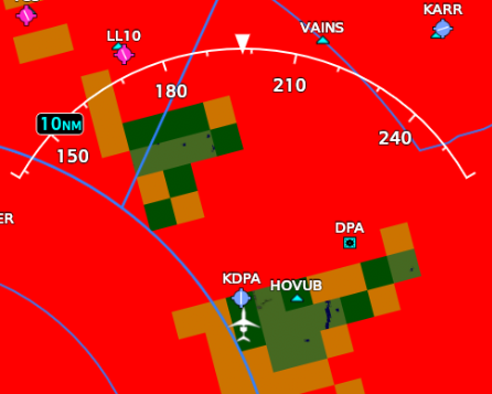
Here, I’ll show it instead. Maximum precip, single full coverage full density cloud layer from 2000 to 4000 AGL (ignore the lack of magenta and the black bars on the sides, just threw this test together without customizing any API parameters).
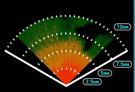
0 AGL:
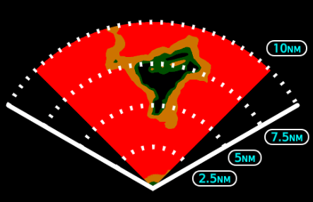
3000ft AGL (directly in the middle of the layer):
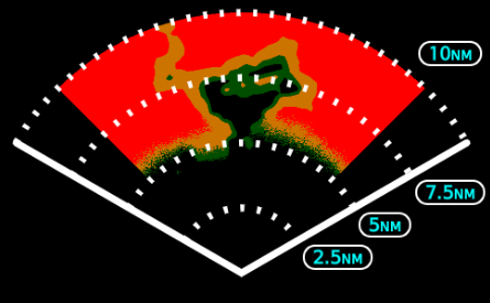
7000ft AGL (3000ft above the layer):
10000ft AGL (6000ft above the layer):
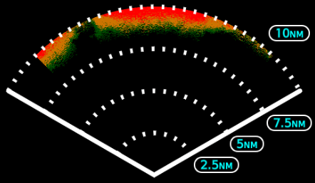
As you can see, it very obviously uses a conic section, as evidenced by returns from the 2Kft layer moving closer to the aircraft as the layer and aircraft altitudes become coincident, and then further away as you go higher. I can only assume the developers are misunderstanding something about the API, made an assumption and didn’t try it for themselves, or are using the incorrect return mode and instead using the NEXRAD style one.
NEXRAD style mode at 10Kft: