In this video, I compare Microsoft Flight Simulator 2020 against real life in the Cessna 172 during my recent flight in Pattaya, Thailand. Can you tell the difference?https://www.youtube-nocookie.com/embed/JIca_aqfczg
New place for me to visit in the sim. Stunning
1 Like
Run Forrest, Run!
amazing job! I am still stuck on trying to figure out the texture part of things. Also, still dont know what to do with the Control Tower glass, how to make it look like a glass material. But your buildings look awesome, and so do those google map 3d buildings! i would love to do that for parts of Chicago where i live. Make it look uber-realistic


unreal! love all the effort put into recreating these images!!
3 Likes
Cornwall, Hayle. Aerial view of the estuary in MSFS2020, high tide

Cornwall, Hayle. Aerial view of the estuary, low tide https://www.rspb.org.uk/reserves-and-events/reserves-a-z/hayle-estuary/

Baron up there, looking land inward.. what a view ![]()

8 Likes
Update 1.13.17 installed, no change. Just a reminder ![]() Greenwich view on London is still partially flattened, making London look like a park (trees are not affected !)
Greenwich view on London is still partially flattened, making London look like a park (trees are not affected !)
See discovery by DronkeyKlong in London eaten by giant cockroaches

Real life Greenwhich aerial,

With ORBX London scenery removed and from some distance it looks like this from the sim,

3 Likes
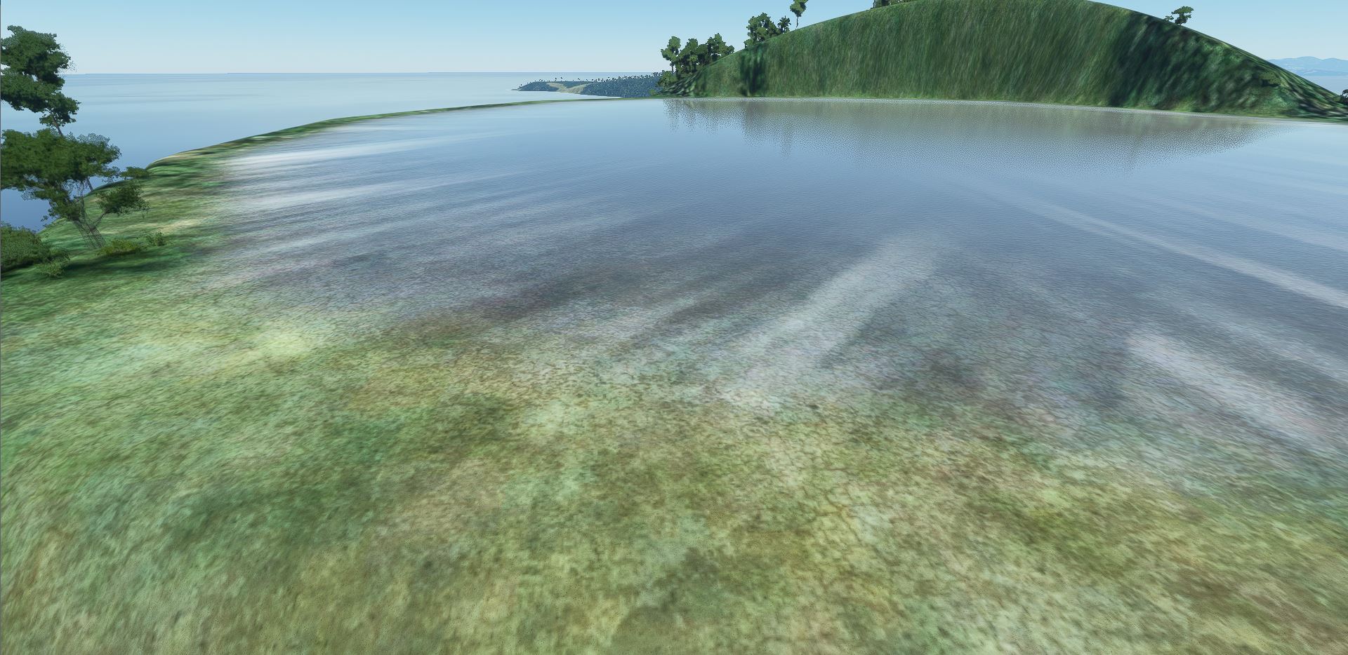

Robinson Crusoe Island, or Isla Juan Fernandez is a few hundred miles off the coast of Chile, in the South Pacific. This is a nice example of “uncharted territory” in the world of MS2020. No handcrafted scenery, elevation only, grass and moss-like textures. From a height it looks like this

Below is a nice (telelens) picture of the western end of the island, which is wild territory. I found this image on the website of a Chilean travel agency,

Below is how it looks like in MSFS2020, medium quality settings, drone zoom to 71% to get the angle right.. elevation is rounded, but quite accurate.. land-sea borders seem somewhat flattened and there are the usual issues (snow-like water crawling up the coastline, or holes that seem to contain water)

NOTE: there exists a Chilean mod for this island, the airport on it is refurbished, but the rest of the scenery is similar.. and your airplane is parked at a strange spot on takeoff.. I removed it after install, it does not improve the match.
6 Likes


Nijmegen, The Netherlands (aerostockphoto.com)
Trees could use some upscaling, Nijmegen is traditionally quite green, so trees in the city are old. A painful detail: the railroad bridge over the Waal has disappeared in the water.. and the other bridge is not really the same signature..


6 Likes


2 Likes
Here is a recent video I made flying into Sedona, Arizona, landing on runway 3 compared to real footage landing at the same airport. I’m still a bit of a beginner ![]()
3 Likes
Funny idea to show 2 landings.. you did a good landing, with that stormy wheather !
I’ve some new pics for the London-Greenwich vicinity.. it’s definitely improving ! there is even traffic now ![]()


Seen from the river

Buildings on ultra, texture high, anisotropic filtering on - for handcraft it does not do much, that is already textured properly. Trees improve (very) on ultra..

English wheather..

RL

6 Likes


10 Likes
Nice. Do you have a link for the white panel, or is this your creation?
I visited the new Icelandic volcano at Fagradalsfjall - in Microsoft Flight Simulator 2020. The landing was made in the new free Airbus Helicopter H 135.Vulcano