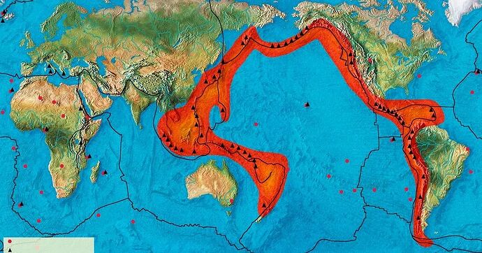
I am not sure how many people are familiar with the so-called “Pacific Ring of Fire”. Those who want to know more can read HERE. Short version: it is a geologically very unstable “ring” around the Pacific Ocean where, due to to plate tectonics and fault lines, volcanoes and earthquakes are common. This is basically the area it covers:
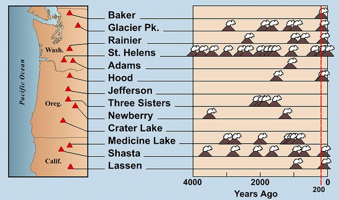
Living near Vancouver, BC, I am fortunate enough to live in this area  . Over the years my wife and I have done a lot of motorcycling in the area. On one particular trip down to Ashland in Oregon for their Shakespeare Festival, we returned on a route via many of the well known active volcanoes in the area. So I thought it would be fun to do a flight along some of the volcanoes in the Pacific Northwest from the southern part of Oregon, to the northern edge of Washington State. The bigger attractions are:
I decided to fly from Crater Lake-Klamath Regional (KLMT) to Methow Valley State (S52), passing over most of the biggest volcanoes in the area. Because of the distances involved I decided to use the Daher TBM-930 for the flight. The volcanoes I passed over on the flight were:
- Crater Lake
- Three Sisters
- Mount Washington (not a recognised big one)
- Mount Jefferson
- Mount Hood
- Mount St. Helens
- Mount Adams
- Mount Rainier
- Mount Baker
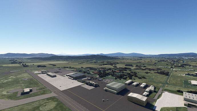
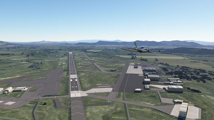
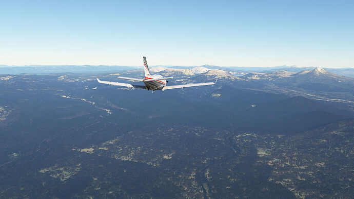
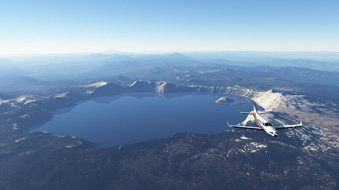
This first installment will be the flight from Crater Lake-Klamath to Crater Lake, Some screenshots, starting with the departure:
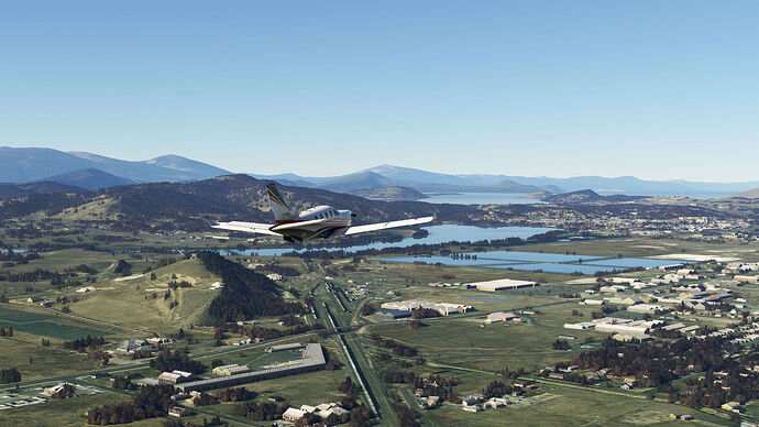
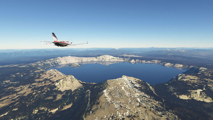
Approaching Crater Lake:
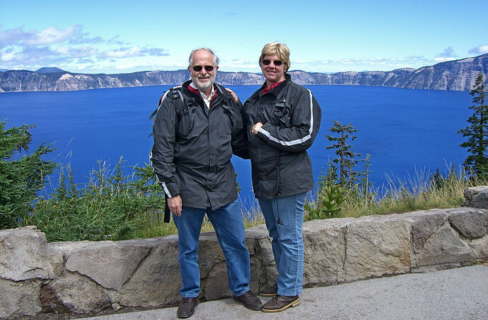
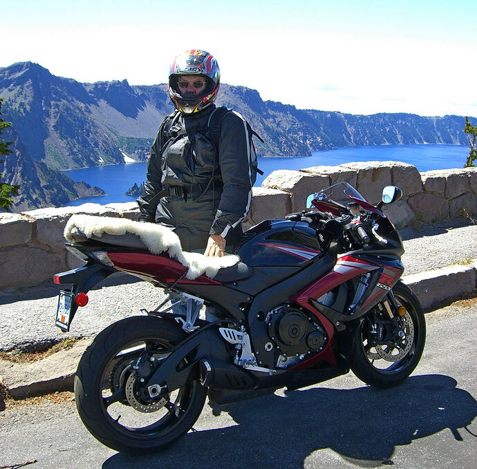
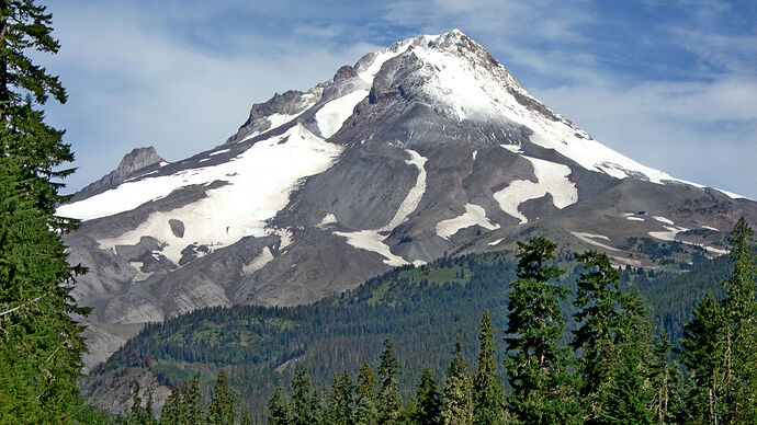
And just to get a sense of what it looks like in real life: this was when my wife and I passed by there on our motorcycle ride in 2008:
Will work through more screenshots for the subsequent waypoints.
14 Likes
Flying the Ring of Fire is actually a really neat idea! I’ll add to the admittedly long list of flights I hope to do at some point.
Mentioning the ring of fire and aircraft at the same time: [PTSD from playing Project Wingman intensifies].
In all seriousness though, those are some great shots!
Totally agree! I’ve flown about 1/3 of that route (accidentally) and was amazed at the number of caldera along the western coast of South and north america. I’ll plan and schedule the tip of the Aleutians, the eastern coastlines, etc. I’ll have to look at the eastern coast of Australia, I’d think there’ would be signs of volcanic activity there, as well.
Next, we need a submarine simulator to explore the north to south Pacific rift… 
Thanks for the kind words guys! I certainly found it tremendously interesting: when we moved to Vancouver we did not know just HOW active things were!
This post: Three Sisters, Mount Washington and Mount Jefferson
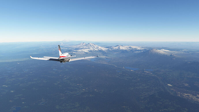
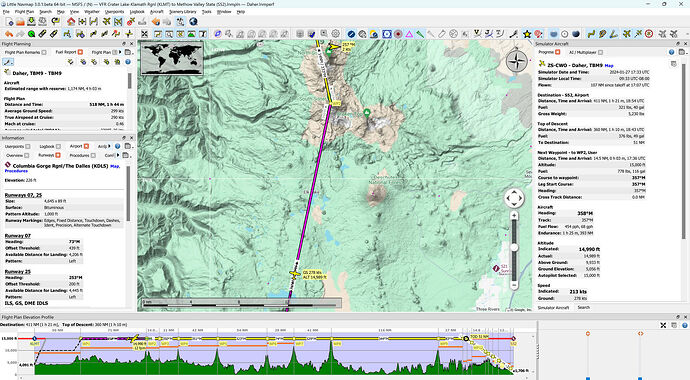
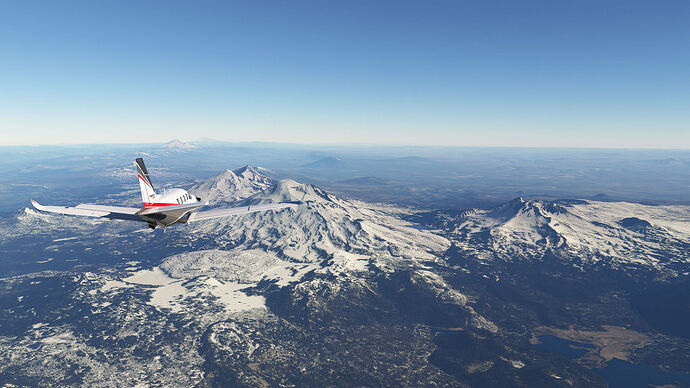
Heading to the Sisters:
Turning over the sisters. What I like about this image is the fact that you can see the next THREE mountains!
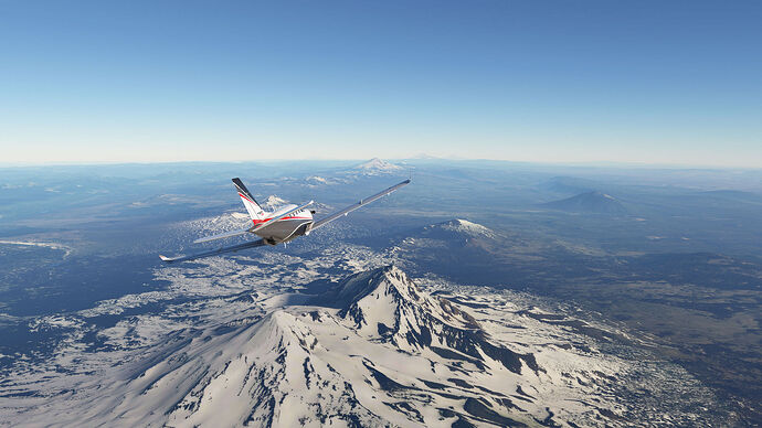
On to Mount Washington
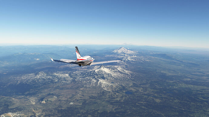
Next objective: Mount Jefferson
This mountain shows the very typical volcano shape
Some closer images of Hood to follow.
4 Likes
Cool thread and great idea - thanks for sharing. I am in the PNW myself and, in fact, was in on some emergency management planning for the “Cascadia Subduction Zone” event several years ago while working in Washington. When it goes, it will be a doozy… I look forward to recreating your flight soon.
2 Likes
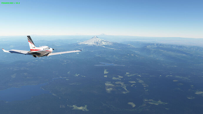
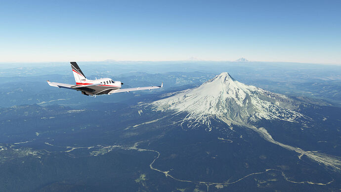
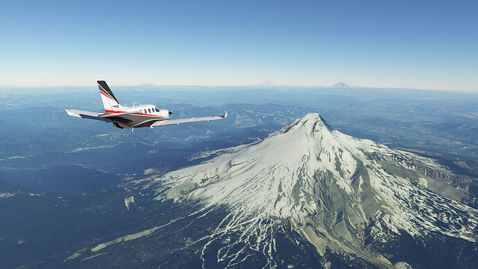
All right, on to the next one: Mount Hood
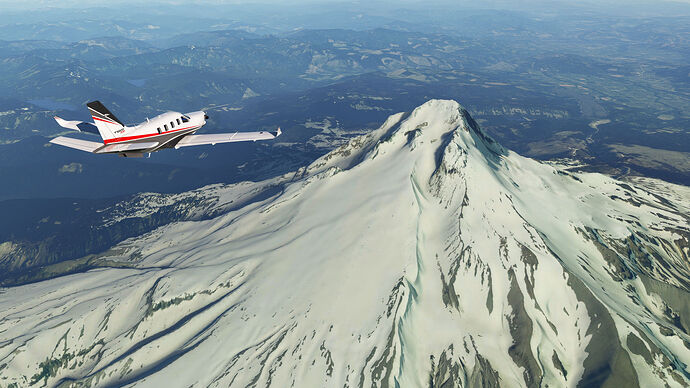
This is the most volcano-looking volcano of the lot! Almost Fuji-like in appearance
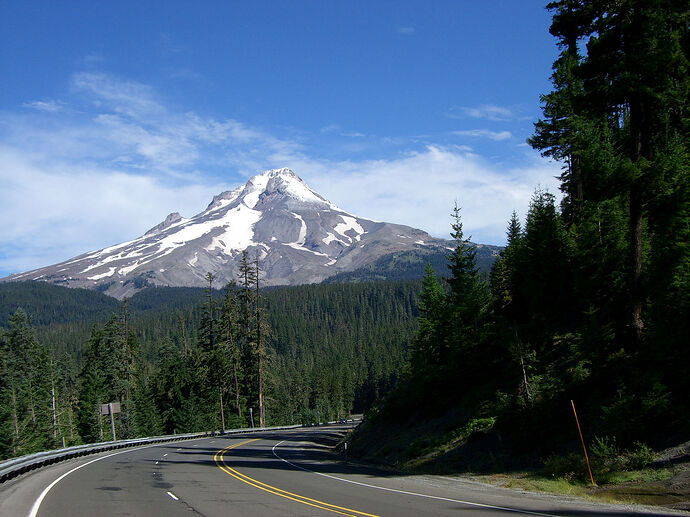
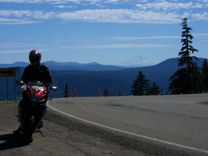
From ground level (on our 2008 motorcycle ride), this is what it looks like coming (from the South)…
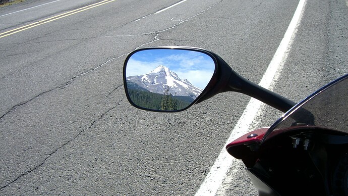
… and going:
And more close up:
The ground level shots were taken late summer, so less snow. THe sim at the moment has some more snow on it. Viewed from the air:
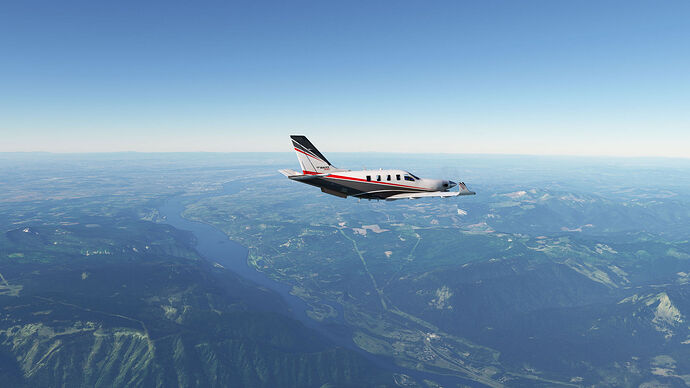
A really spectacular mountain: one of the highlights of the flight. And immediately to the north, you cross the Columbia River, which is the border between Oregon and Washington
Looking west:
Looking east you can just see Hood River in the distance… if you look really carefully!
2 Likes
Given what Mt. St. Helens did back in 1980, I would rather not be around when that happens!
1 Like
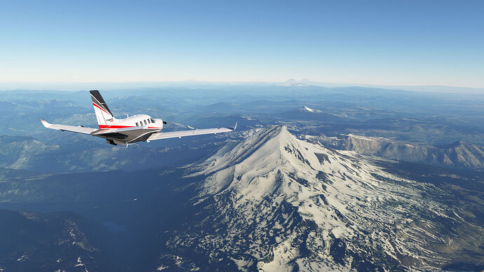
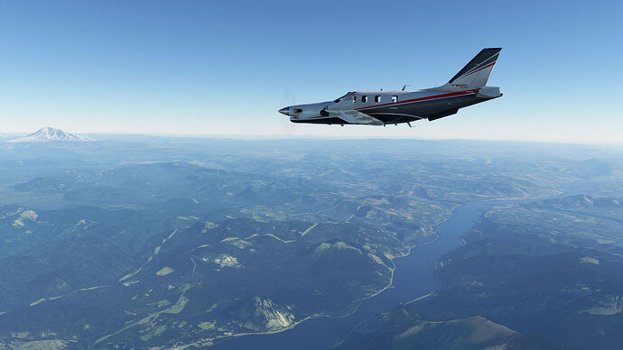
Right, after the vagaries of the forum: time to get back on track! And a reminder: this was where we left off the last time: just crossing the Columbia River from Oregon into Washington:
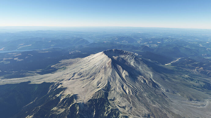
Next stop: the infamous Mount Saint Helens that blew its top in 1980. From the South it looks reasonably innocuous: not that high, without the typical volcano peak:
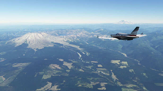
As one gets closer, the reason for the above characteristics become apparent:
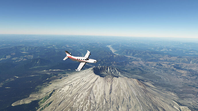
After the eruption, the northeastern side is just… gone! I turned a bit prematurely here so I had to fly the drone some distance to get this angle:
During the eruption - actually more like a massive explosion! - the mountain blew off the top, reducing its height from 9,677 ft (2,950 m) to 8,363 ft (2,549 m) and leaving a 1 mile (1.6 km) wide horseshoe-shaped crater. There is a wonderful photographic series of the event HERE
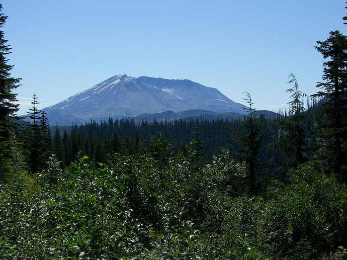
We did not get wonderful photographs on our 2008 motorcycle tour. This one I really like: on our way from Mt Hood towards Mt. St. Helens:
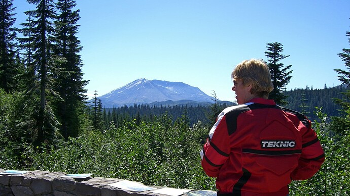
Mt. St. Helens itself:
At least this shows we were there!
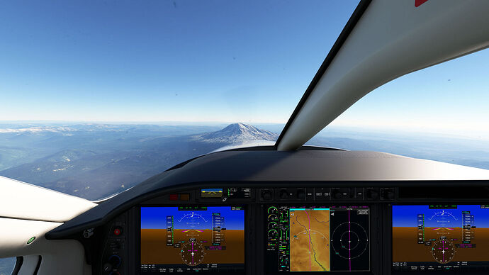
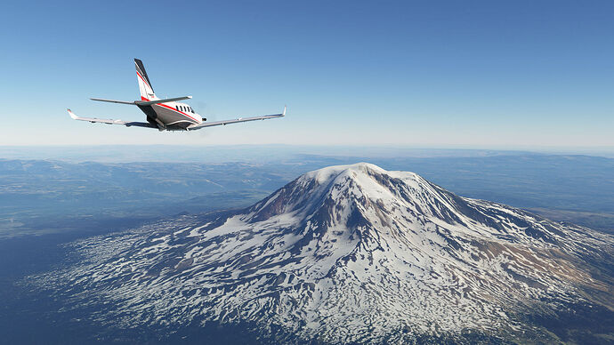
Mount Adams was next:
And that is it for Mt. St. Helens and Mt. Adams!
4 Likes
Do you have any suggestions on the best way to make a flight path hitting all the mountains?
@TheBlackWind977
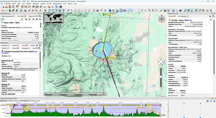
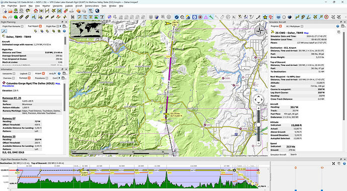
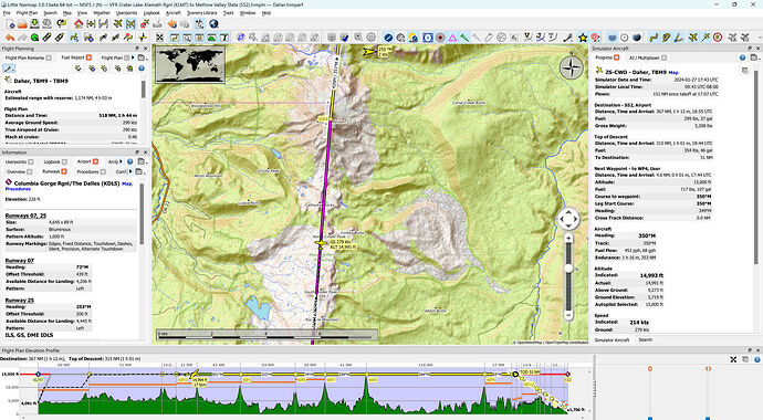
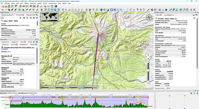
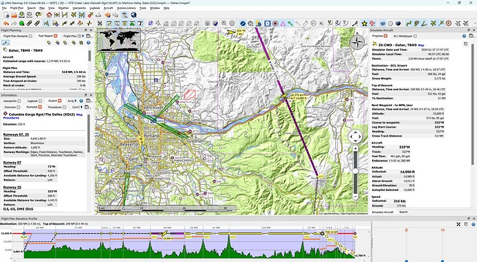
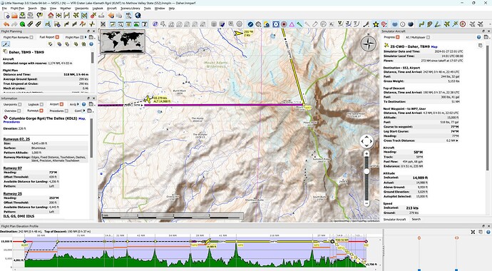
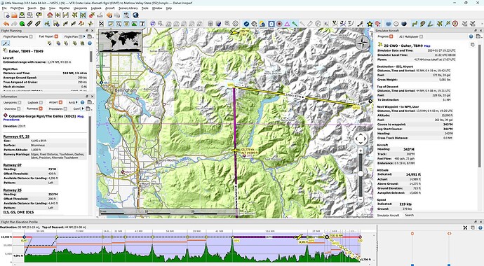
I created the flight plan in LittleNavMap and exported the plan tor MSFS. My initial flight plan missed a couple of mountains, i.e. Newberry and Glacier Peak. FWIW, this is the LNM flight plan:
VFR Crater Lake-Klamath Rgnl (KLMT) to Methow Valley State (S52).lnmpln (3.9 KB)
The MSFS flight plan is here:
VFR Crater Lake-Klamath Rgnl (KLMT) to Methow Valley State (S52).pln (6.2 KB)
I have created a new plan that includes the two missed mountains. LNM version:
VFR Crater Lake-Klamath Rgnl (KLMT) to Methow Valley State (S52) Extended.lnmpln (4.4 KB)
The MSFS version is here:
VFR Crater Lake-Klamath Rgnl (KLMT) to Methow Valley State (S52) Extended.pln (7.1 KB)
Hopefully this will work for you! In any case, if it works, it could serve as a starting point for your own plan. As I mentioned earlier, if you want to do the full meal deal it is better to do it with a faster aircraft like the Daher TBM-930 or maybe the Cessna CJ4
2 Likes
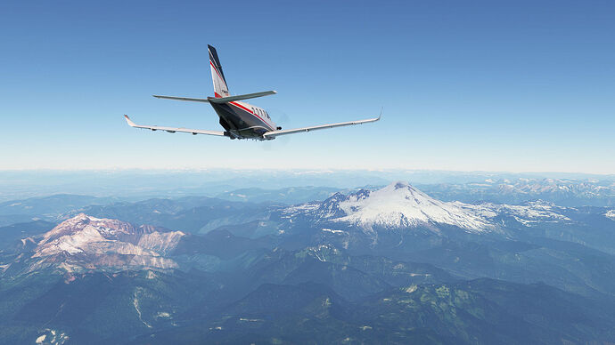
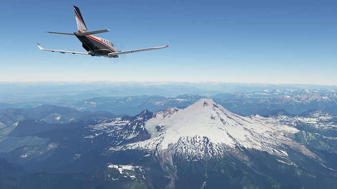
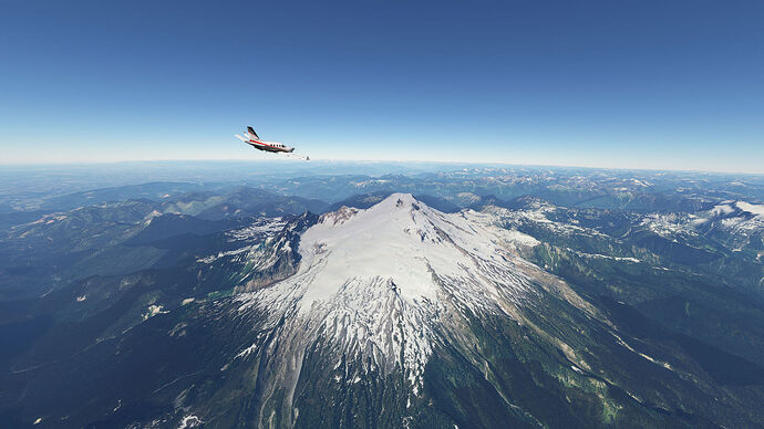
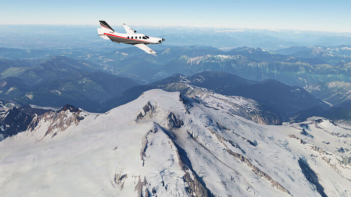
And so on to the last mountain in the series: Mount Baker! This is the track up to the mountain:
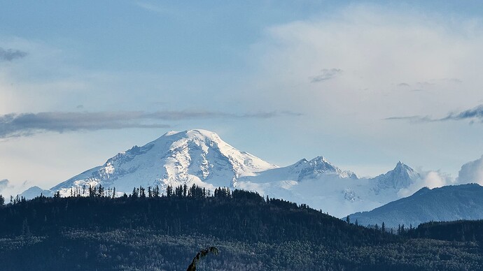
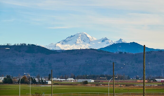
Because this is sort of our “local volcano” - we live in Abbotsford in BC, Canada, just 45km (28 miles) northwest of Mount Baker, we take a proprietary pride in the mountain, so I will give a bit more real world info. We can look out our window at home and there it is. And it is gorgeous: beautiful in different ways every moment. From our house:
This is what it looks like in the sim when arriving from the south: not sure that the crater-y thing is to the west here!
Next up: some up close and personal real world shots of Mount Baker!
2 Likes
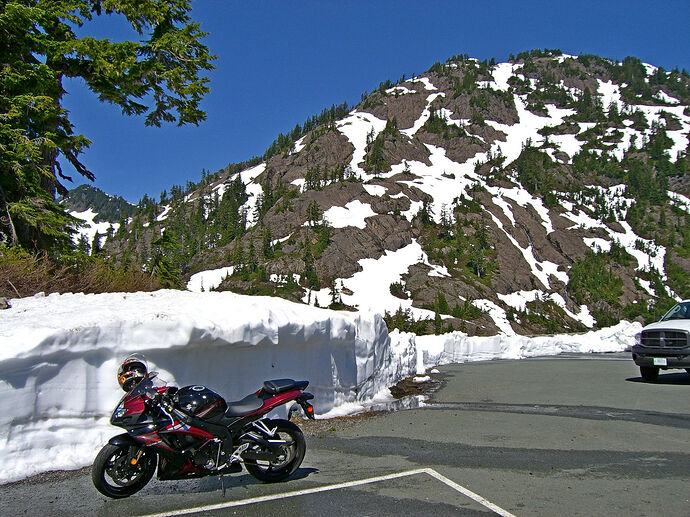
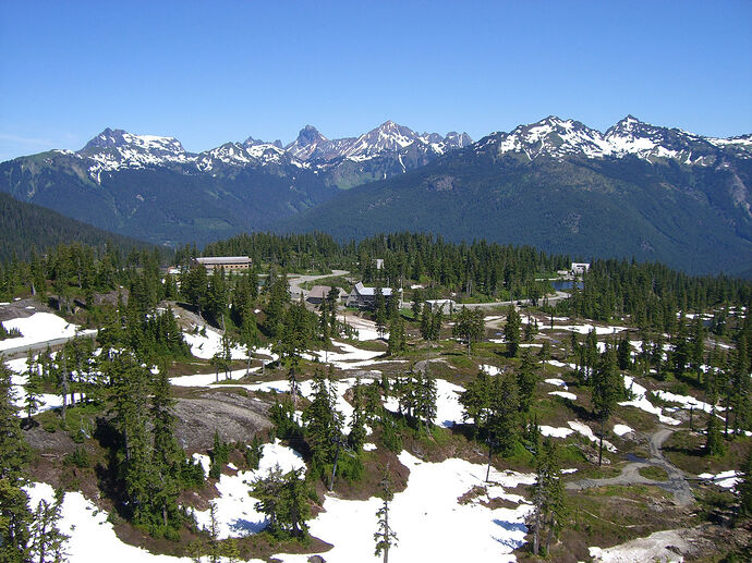
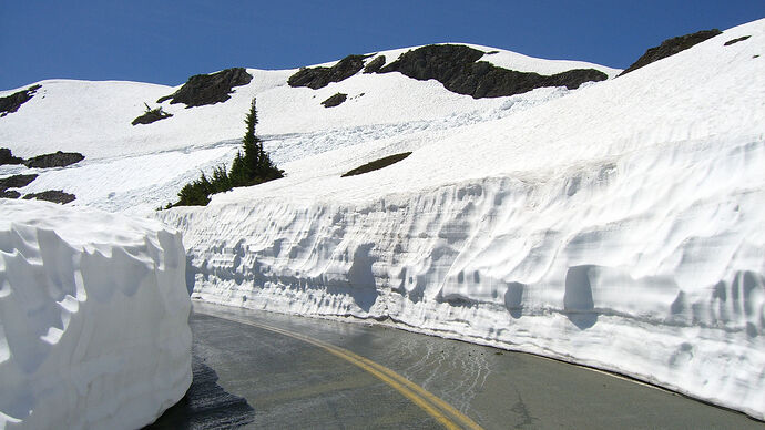
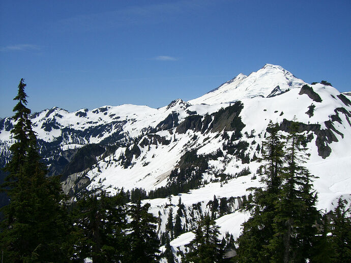
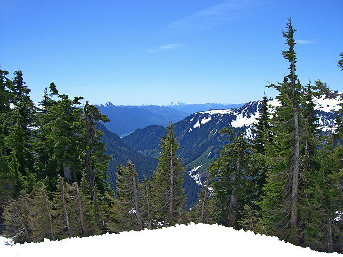
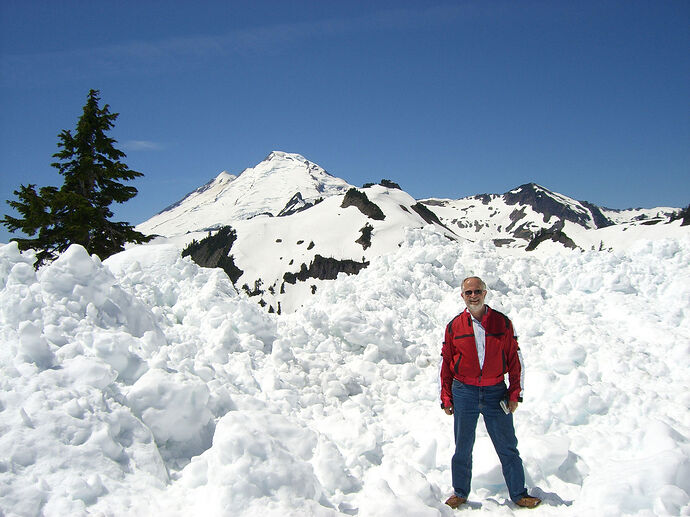
As promised: some closeups of the real Mount Baker. I rode up there on my motorcycle in the middle of summer of 2008 and there was still a TON of snow around
And yours truly:
Really an incredible sight!
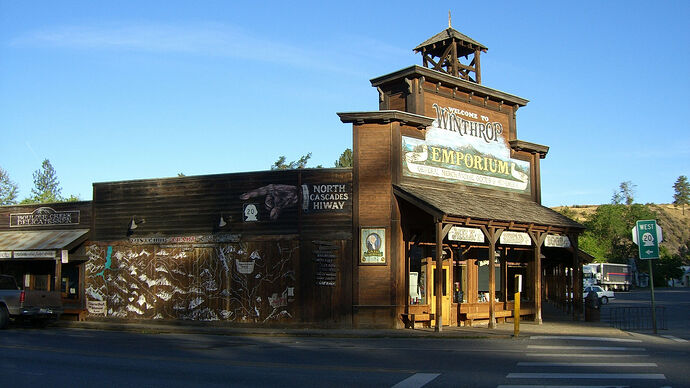
Last post coming up: flying over my favourite motorcycling road in the world: SR 20 AKA the North Cascades Highway, landing outside Winthrop. Winthrop is a little town that time forgot and a favoured summer motorcycling destination in the area.
4 Likes
Thanks! I would like to start at the bottom of one side or the other… I’ve not decided yet, and fly the whole thing. At least I’ll get started! Like so many projects… haha
I’ll look into LittleNavMap.
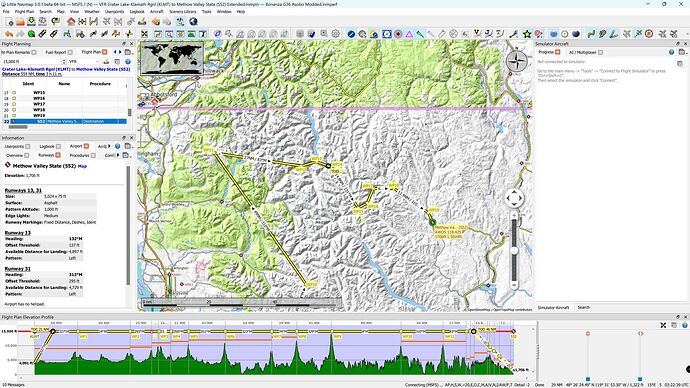
OK, the final episode! This leg was from Mount Baker to Methow Regional Airport (S52) outside the town of Winthrop. This area is VERY mountainous as it is part of the Cascade Mountain range, so getting down from 15,000ft to the 1,706ft altitude of the airport took some planning. I created a meandering course, following valleys and low area, to avoid having to either descend at a silly rate or having to overfly the destination to the low ground to the east and complete the descent there.
This was the course:
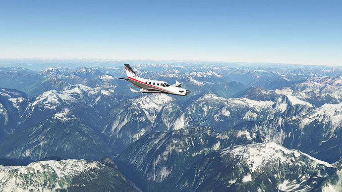
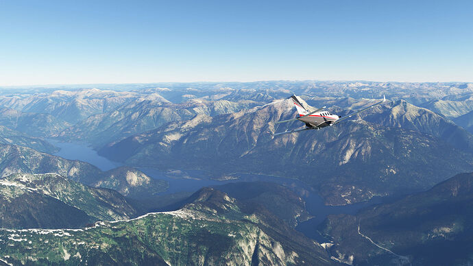
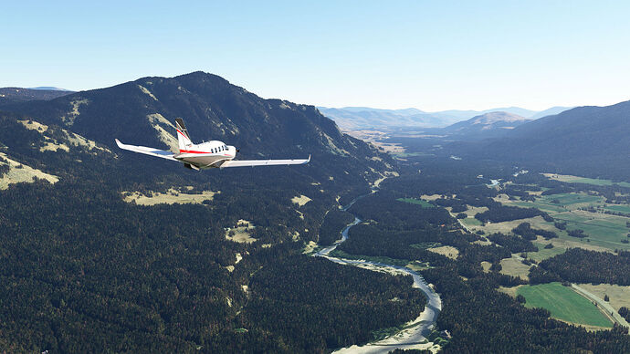
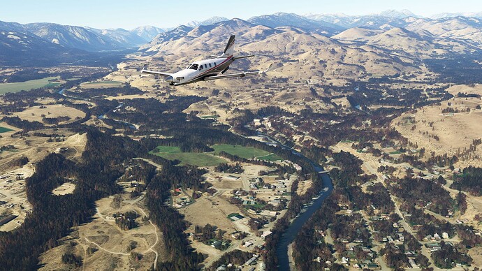
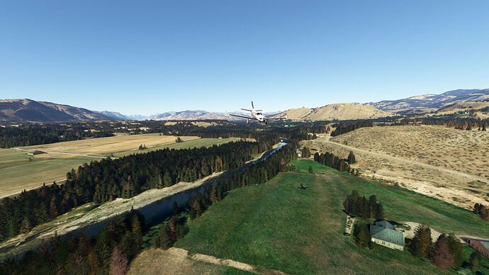
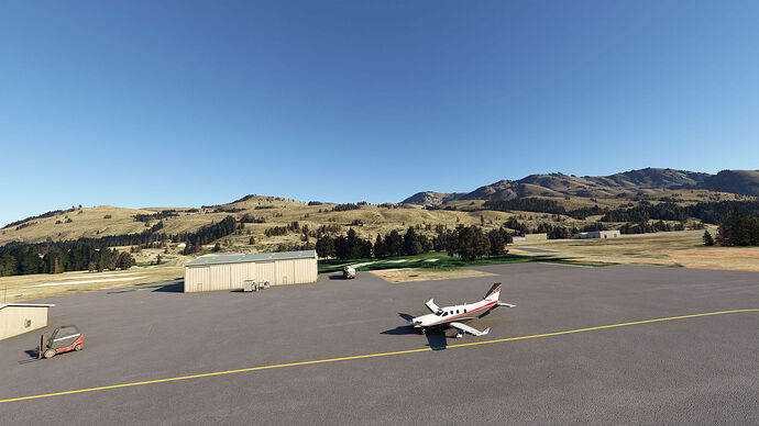
A few pictures of the descent and arrival at Methow:
The town of Winthrop by the bend in the Methow River
The airport itself is really nothing much to look at
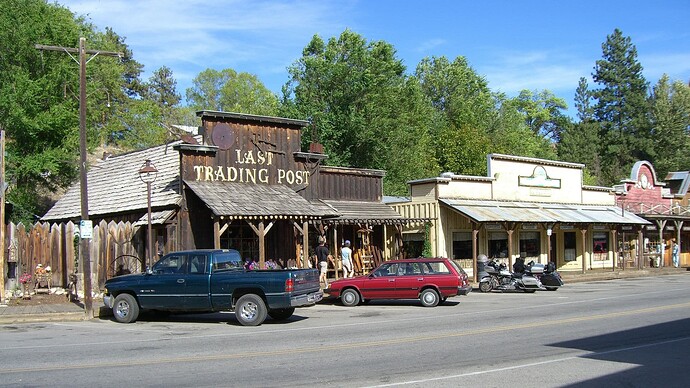
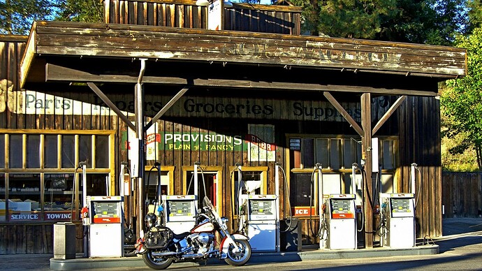
And then some background: pics of the quaint western town of WInthrop:
And that is it! I enjoyed the flight as it is so specific to my part of the world.
6 Likes
What a great thread!
Living in the teeny-tiny UK one of the great things about MSFS is the ability to explore the world.
I’ve flown around Portland and the Hood river before in the sim and it’s magnificent but I’ve bookmarked this thread so I can download your flight plans and really give the whole area the attention it deserves.
Oh yeah; you did Abbotsford to Ashland and back two up on a GSX-R!? That’s a nearly fourteen hundred mile round trip.
I used to have the 750. I’d need remedial back treatment after a trip like that. 
2 Likes
Thanks for the kind words! Yes, I know it is a somewhat odd choice for two older people to tour with, but my wife and I did a lot of two up touring on the Gixxer. We normally tried to do one nice long ride every year. Towards the end I was in my sixties and my wife in her late fifties: around 450km per day was fine, 300km too little, 600km too much. The Pacific Northwest really is wonderful sportbike country!
2 Likes
![]() . Over the years my wife and I have done a lot of motorcycling in the area. On one particular trip down to Ashland in Oregon for their Shakespeare Festival, we returned on a route via many of the well known active volcanoes in the area. So I thought it would be fun to do a flight along some of the volcanoes in the Pacific Northwest from the southern part of Oregon, to the northern edge of Washington State. The bigger attractions are:
. Over the years my wife and I have done a lot of motorcycling in the area. On one particular trip down to Ashland in Oregon for their Shakespeare Festival, we returned on a route via many of the well known active volcanoes in the area. So I thought it would be fun to do a flight along some of the volcanoes in the Pacific Northwest from the southern part of Oregon, to the northern edge of Washington State. The bigger attractions are: