Hi there!
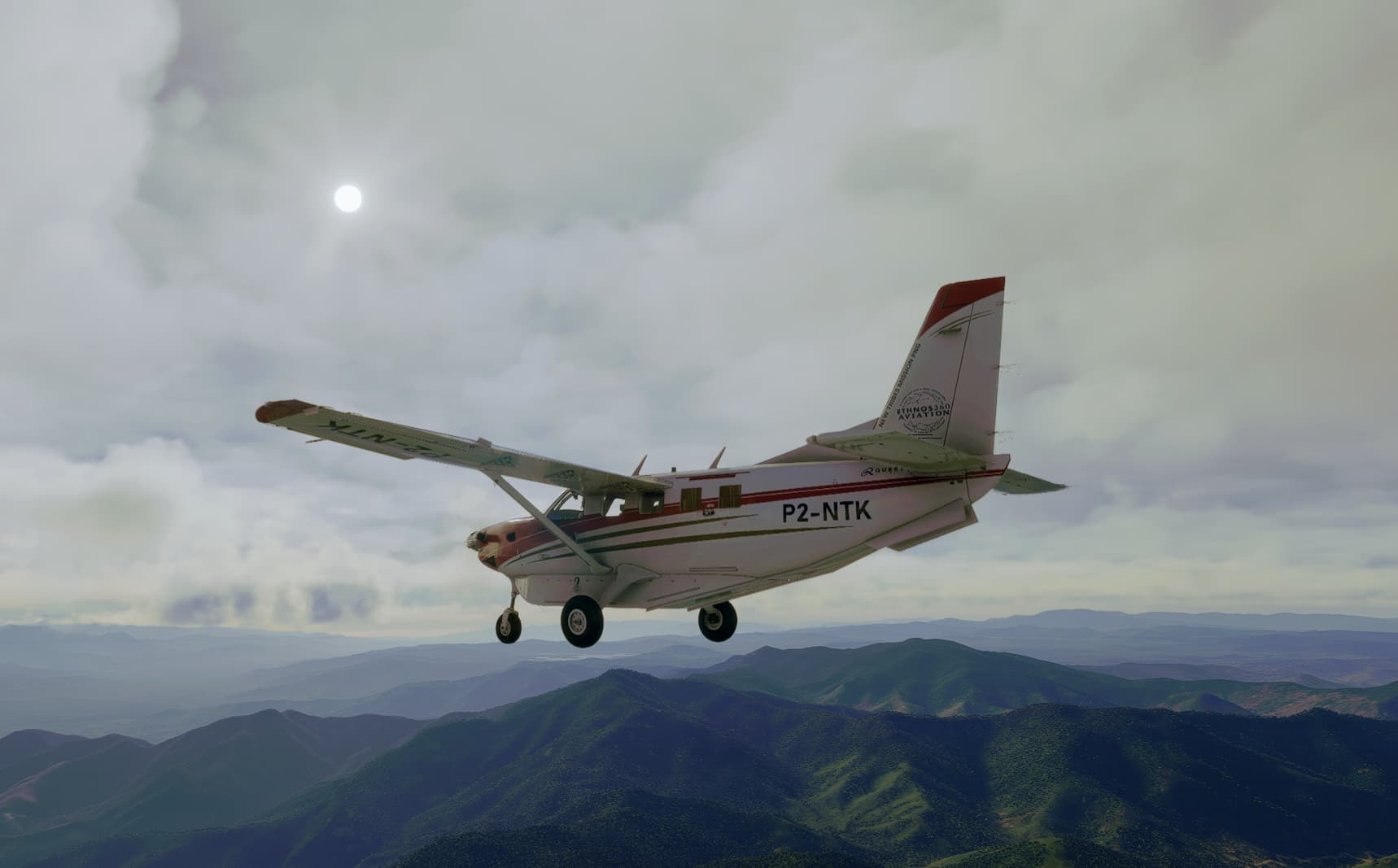
Is there a way to find any information about the landing strips around PNG? Currently flying the new Kodiak 100 in the Missionary Bush Pilot livery [Ethnos Aviation] ![]()
Hi there!
Is there a way to find any information about the landing strips around PNG? Currently flying the new Kodiak 100 in the Missionary Bush Pilot livery [Ethnos Aviation] ![]()
Check out the Bush Divers site.
Lots of useful stuff for PNG including several airport charts.
…… and all available freeware PNG scenery here:
")
Cheers.
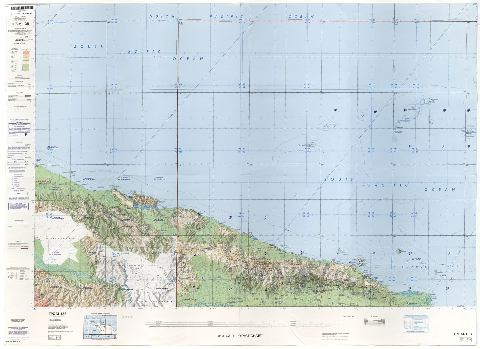
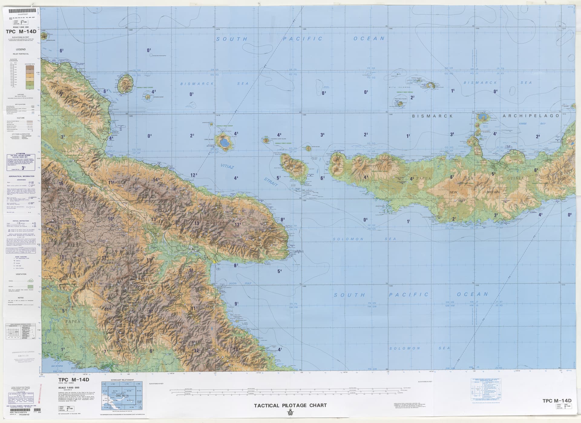
Will add to the list: Found some great large scale PNG maps from this site: Tactical Pilotage Charts - Perry-Castañeda Map Collection - UT Library Online.
I’ve attached the key ones for PNG.
Fantastic resource, thanks very much for sharing that link! ![]()
Wonderful sources! Thank you very much!
This topic was automatically closed 30 days after the last reply. New replies are no longer allowed.