I thought it might be useful to list here the places in fs2020 that are missing satellite data and therefore people might want to avoid flying to or at least warn them what to expect.
So far I have found missing textures in central Papua New Guinea and west Iceland. I hear Alaska also has issues with poor satellite imagery.
Please feel free to add to this list and then I will link this thread to a Zendesk submission.
Now that you ask, I was FL370 over the Panama Canal the other day, the lake/river coastline looked extremely jagged - I suppose very low vector count scenery data.
Alaska has been pretty nice - have done lots of bush flying there, and have even visited spots I’ve flown to IRL which look almost exactly as I remember. I’d add it to a “go fly” list!
Balls Pyramid, south east of Lord Howe Island in the Tasman sea. Looked forward to flying over this shield volcano which is impressive but there is no mesh so it’s a flat island. There is an FSX scenery mod which may work if converted.
I have only seen the Iceland horrids in pictures, figured that had been fixed/patched by now.
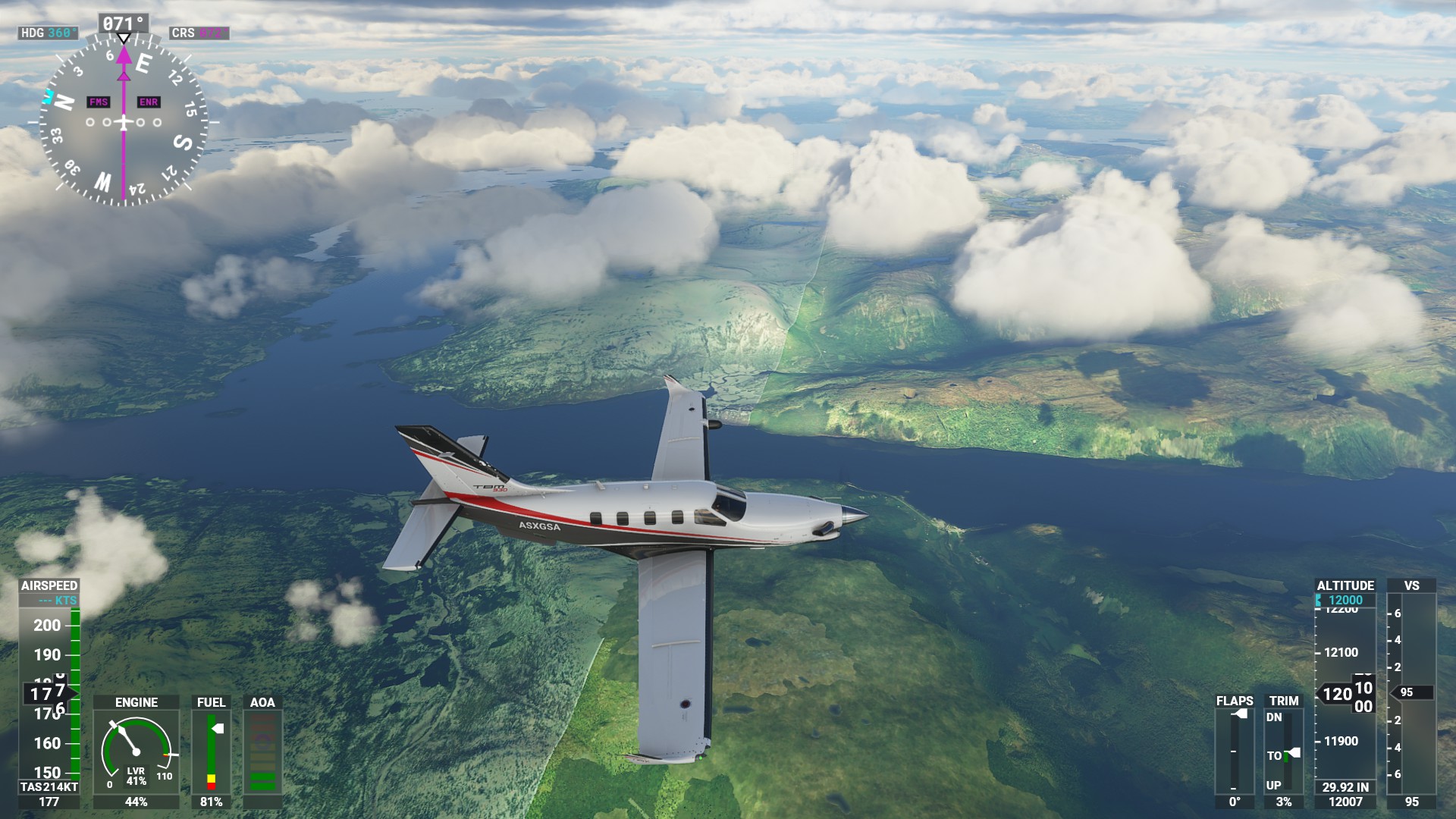
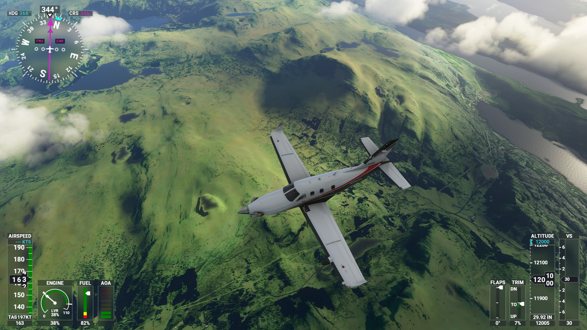
But yeah, I sadly have to avoid big parts of Norway that is ironically some of the prettiest places on our planet irl.
Though my personal weird ‘bugs’ have to be half pipe/jump lakes and plateu lakes.
Further North has pretty bad data. Northern Siberia has no data, further North in Canada, Greenland is pretty bad. Currently I’m over central Libya which is also mostly generic textures replacing the low res sat image. Shetland and Faroe islands were bad. Also many parts of the Alps have issues with seasonal changes in textures and low res height data.
Basically anywhere with low population density is suspect.
Iceland IS pretty barren, but I think that’s what makes it unique and beautiful. Not many trees and volcanic mountains. Glaciers are prevalent. The Land of Fire and Ice.
Our VA tried a group flight in Alaska. The area around Denali Park was terrible with very sparse satellite data. It was like we were flying in FS9. Between Ketchikan and Juneau I noticed the same thing.
Uhh… everywhere? Even the areas with “high quality” photogrammetry have major issues. Bodies of water have major issues. Night lightning has major issues. Terrain textures have major issues. Asobo has so much work to do on world graphical fidelity it isn’t even funny. I’m not sure that a zendesk ticket reminding them how much work they have ahead of them will spur them on… but I support your effort to harass them.