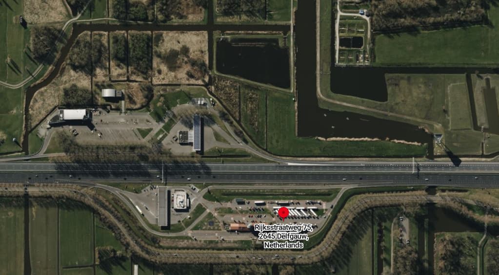
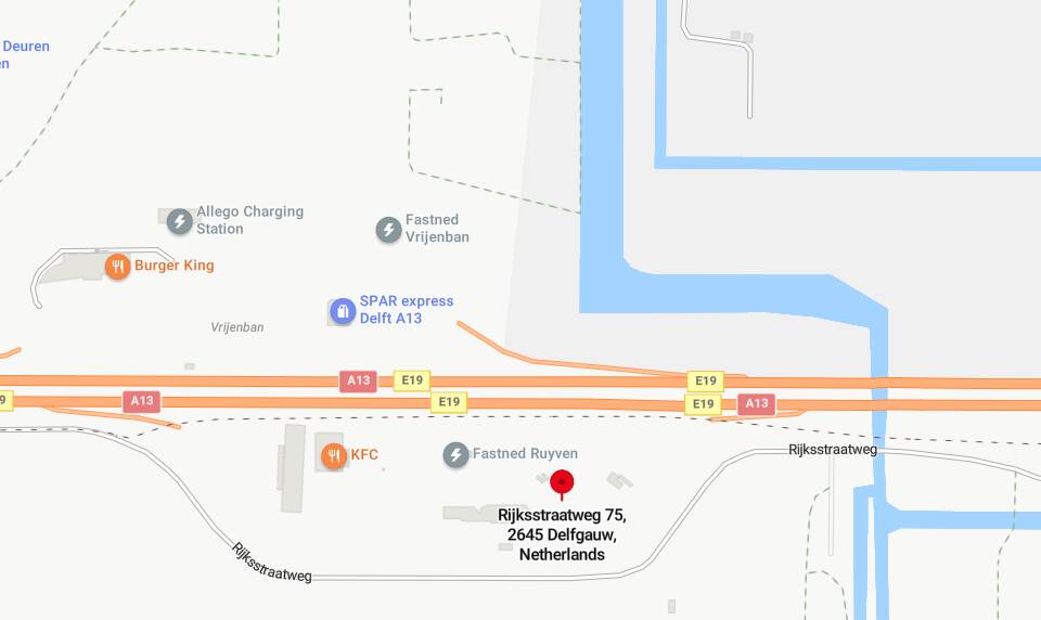
Spot on! I think you are correct. I tried using both Google, and Bing to list truck stops with no luck. Because looking at the aerial photography is messy I was looking at the road only view, looking for that pond like structure in the corner of that L shape, and annoyingly it does not appear like that in that view.
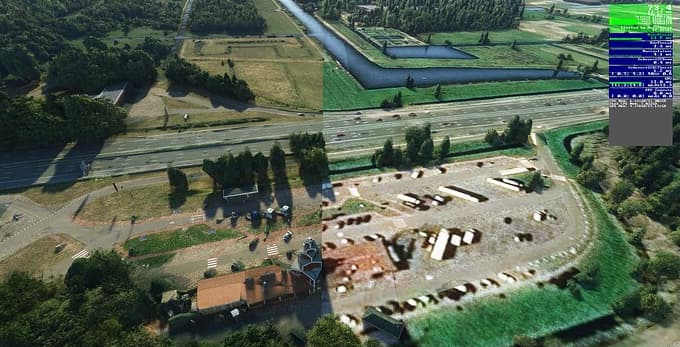
Again, the huge difference in quality near that odd building at the bottom is not there in Bing, so again appears to be a defect of the import process, or accessing out of date imagery perhaps.
I can imagine. But I remembered that in the CUIV-feedback thread, FinalLight posted a roadside view with partial PG-station and I could read parts of the name. Rest of it was guesswork.
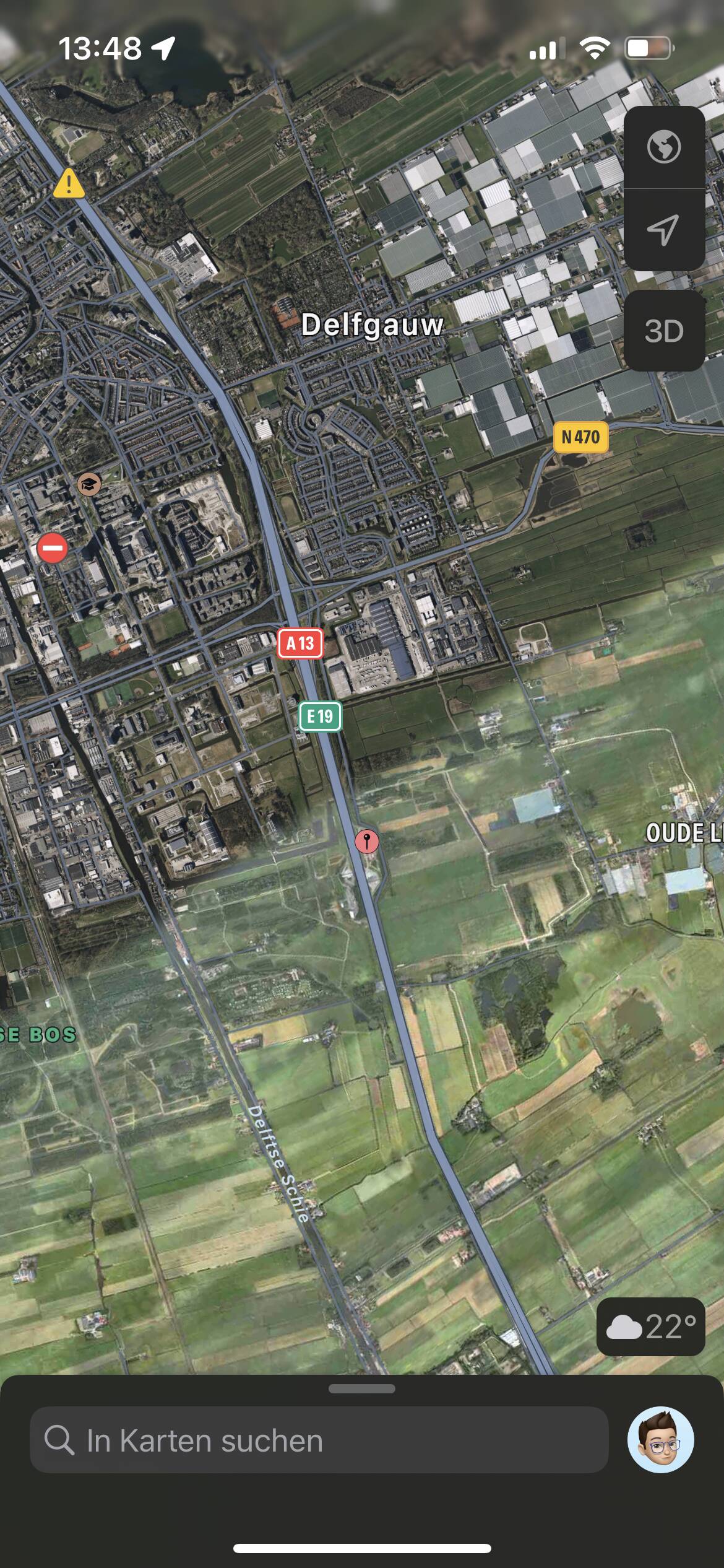
Just for comparison‘s sake, the following are screenshots from Apple’s Maps App:
That kind of vibrant unnatural green color like in the the bottom right hand corner annoys the heck out of me. Can be seen way too often. I suspect doing color correction on the fly is hard but “green” is often a color that look unnatural to me in the sim (on a hardware color corrected monitor).
I don’t know about you, but any time I see lines like that, they’re on my screen for awhile. A lot longer than 30 seconds. Even more if you have to fly parallel along them. And because there are so many just like it, I see them often. It takes me out of the simulation until I can get it off my screen. It’s not as bad as the flickering satellite tile bug and flickering water satellite tile bug that have gone unfixed since those bugs were introduced, but still distracting regardless.
Ah that’s where the confusion is, PG is an entire 3D mesh reconstructed from 100’s of photographs taken from an airplane or helicopter. That includes the ground as that’s part of the mesh too. Of course it’s going to be different, it’s from a camera and not a satellite image.
I know how it’s made, I just don’t think the ground plane is included in that. I thought they would do some cull of the data at ground level, flattening the base as it were. One way would be like raising the water table. You have all your buildings, and other objects, and really uneven ground. You then have a flat plane that you raise from below, or lower the entire mesh below the ground plane until the mesh uneven surface between buildings is below it, and obscured so that as much of that surface clutter has been removed, leaving all the buildings, and other protruding objects behind. You can see they do this already if you inspect POI buildings, hand placed rocks,cliffs etc. You already have all the ground terrain from satellite photography, which you then lay the TIN objects on top of.
Whether it’s a satellite or drone, they are both looking at the same thing, but at different angles due to altitude differences.
That said I have seen some areas where the ground is more uneven than usual, and that could be explained by smaller objects being picked up. It’s rare for me though, so perhaps some areas have been more tidied up than others. One place I landed at, near Southampton I think, had a long step across a field. I didn’t see this coming in to land, and it tipped me over as the nose wheel hit it. I guess that could have been tiles not lining up.