Flightplan: VFR Ardmore (NZAR) to Taumarunui (NZTM).pln (2.1 KB)
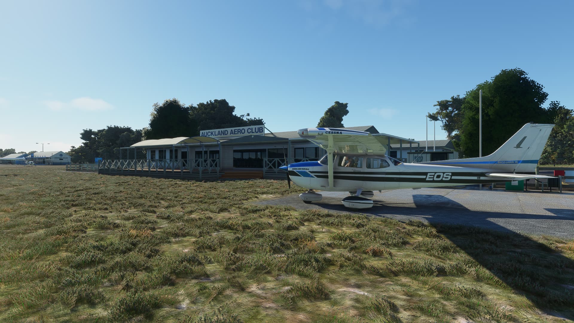
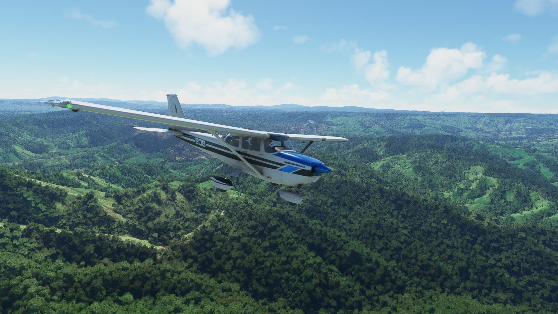
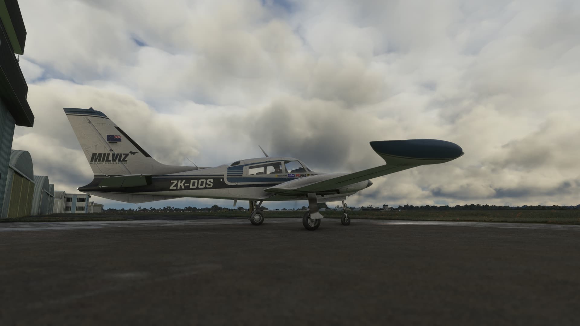
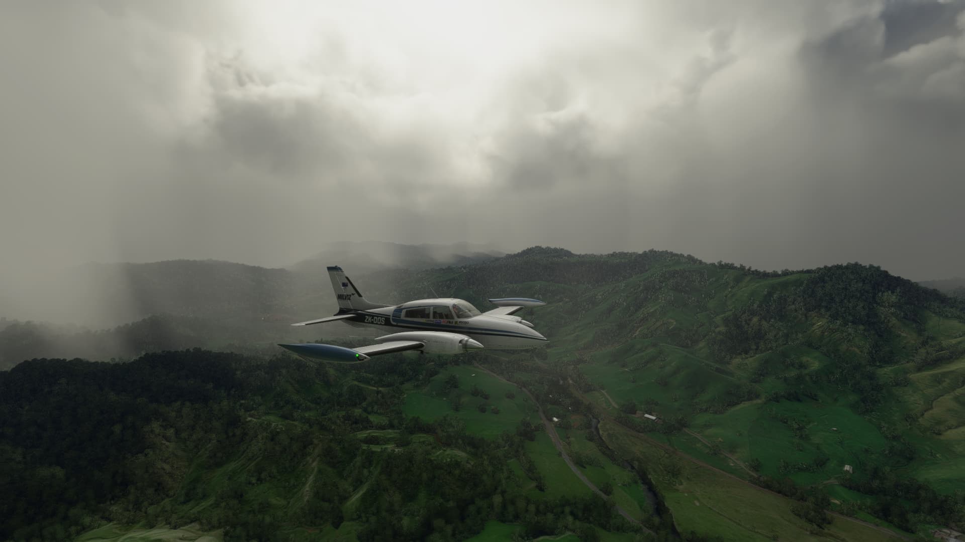
Today I had some time to kill, so thought I’d take my favorite light twin, the Blackbird C310R on a local New Zealand flight to visit a few airfields I have fond memories of from my VFR hour building days.
The route I had planned was NZAR - NZRA - NZTT - NZTM, 112nm point to point, which shouldn’t have taken more than an hour in the 310. I loaded up at Ardmore with real world weather enabled, and whilst the skies were grey, I didn’t give it too much thought as the trip south certainly looked certainly looked do-able from ground level.

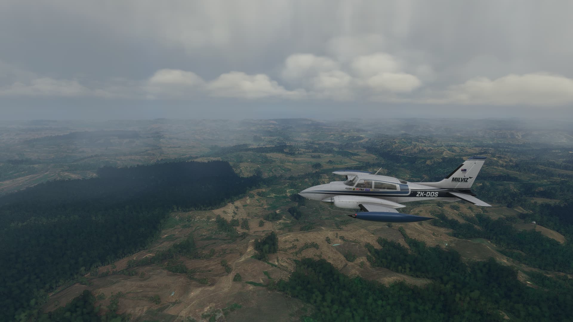
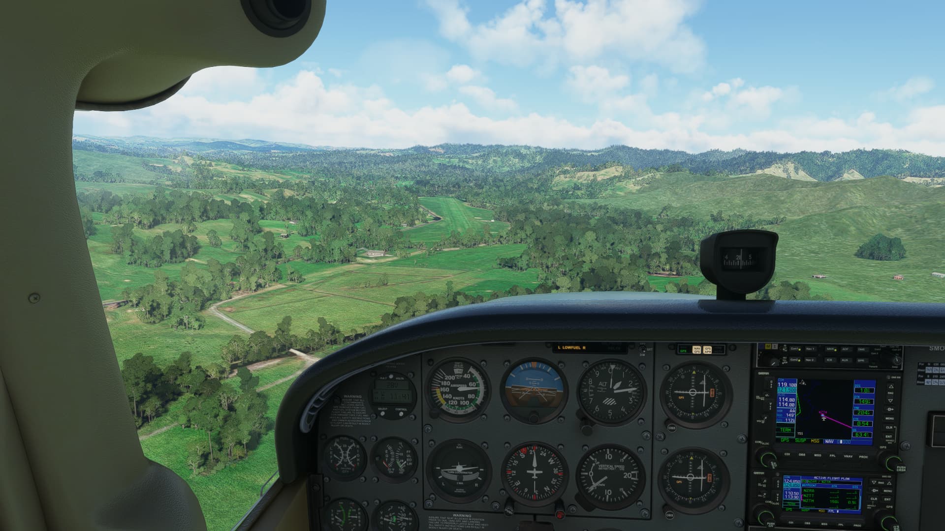
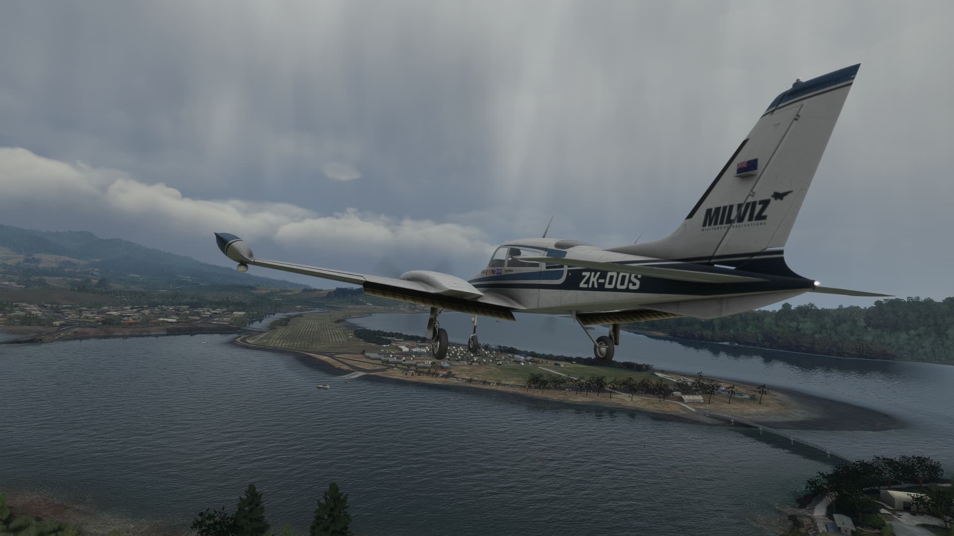
The first leg to Raglan was uneventful, other than 20 something knots of westerly winds bouncing me around as it ricocheted off the hilly terrain below. I made a full stop landing on Raglan’s runway 23, backtracked- grabbed a coffee, then lined up for a full length departure.

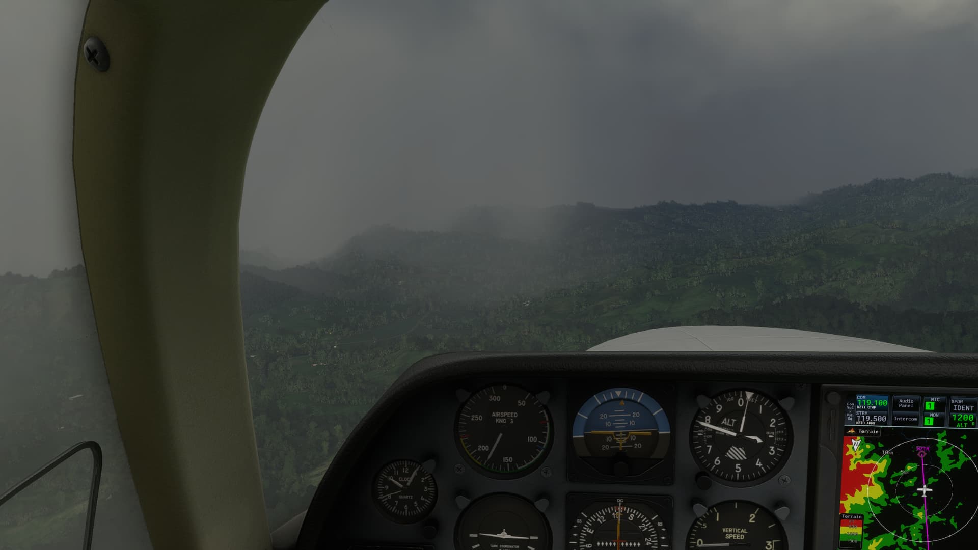
As I turned south again, I realised my mistake in not checking the weather forecast. A wall of rain lined the horizon east to west, and I decided to punch through it, hoping it was just a frontal shower band and would be clear on the other side.
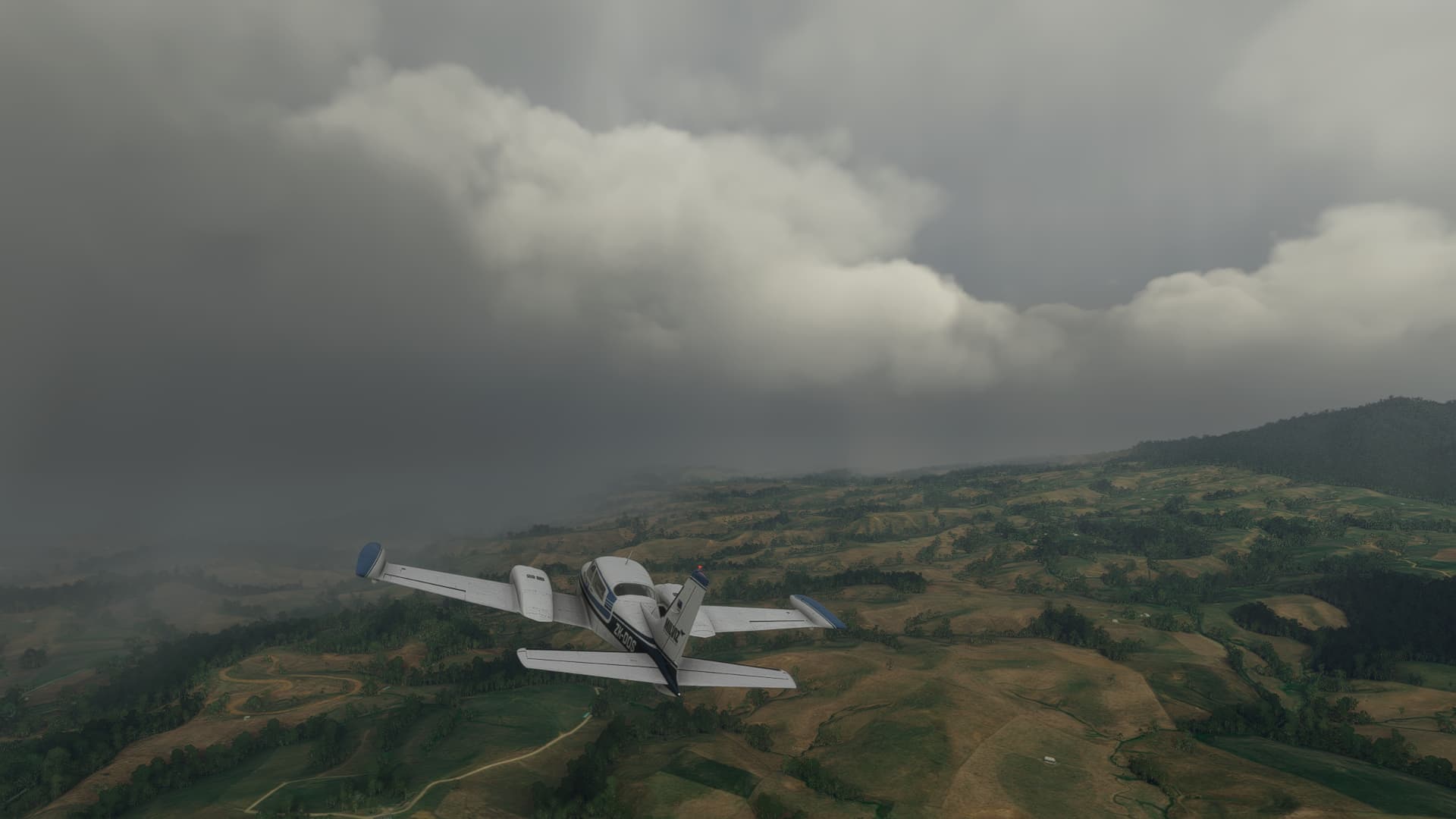

This is where things became dicey. I become enveloped in IMC, and despite engaging autopilot to level the aircraft and attempt to maintain situational awareness, I found myself caught in updrafts that carried me from 3000 feet up to 6000 feet.
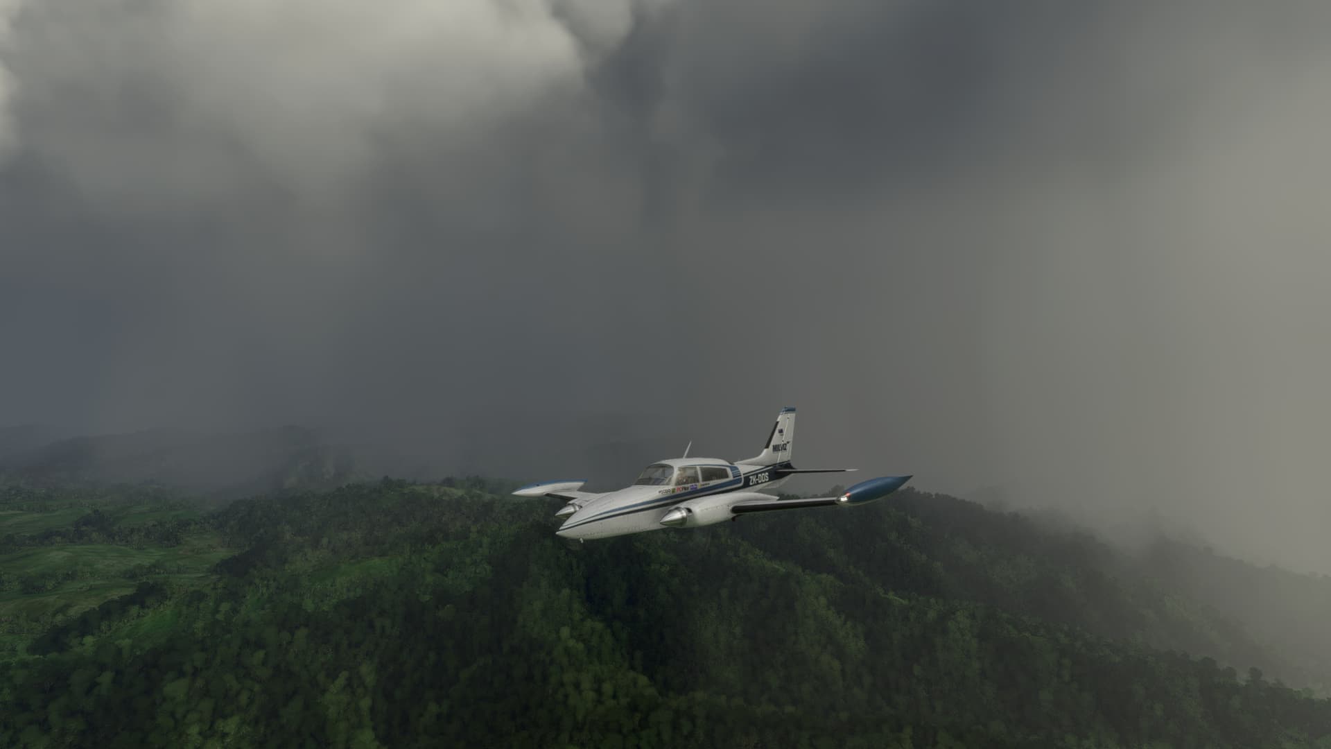
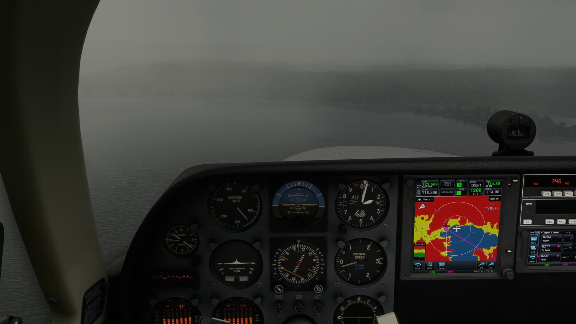
Of course the decision to continue would be a death sentence in the real world, but seeing as the simulated environment allows for such flying without consequence, I continued to push on towards my destination, switching to the terrain map on my GNS unit to nervously monitor my terrain clearance with zero reference to the ground. (Please never try this for real!)
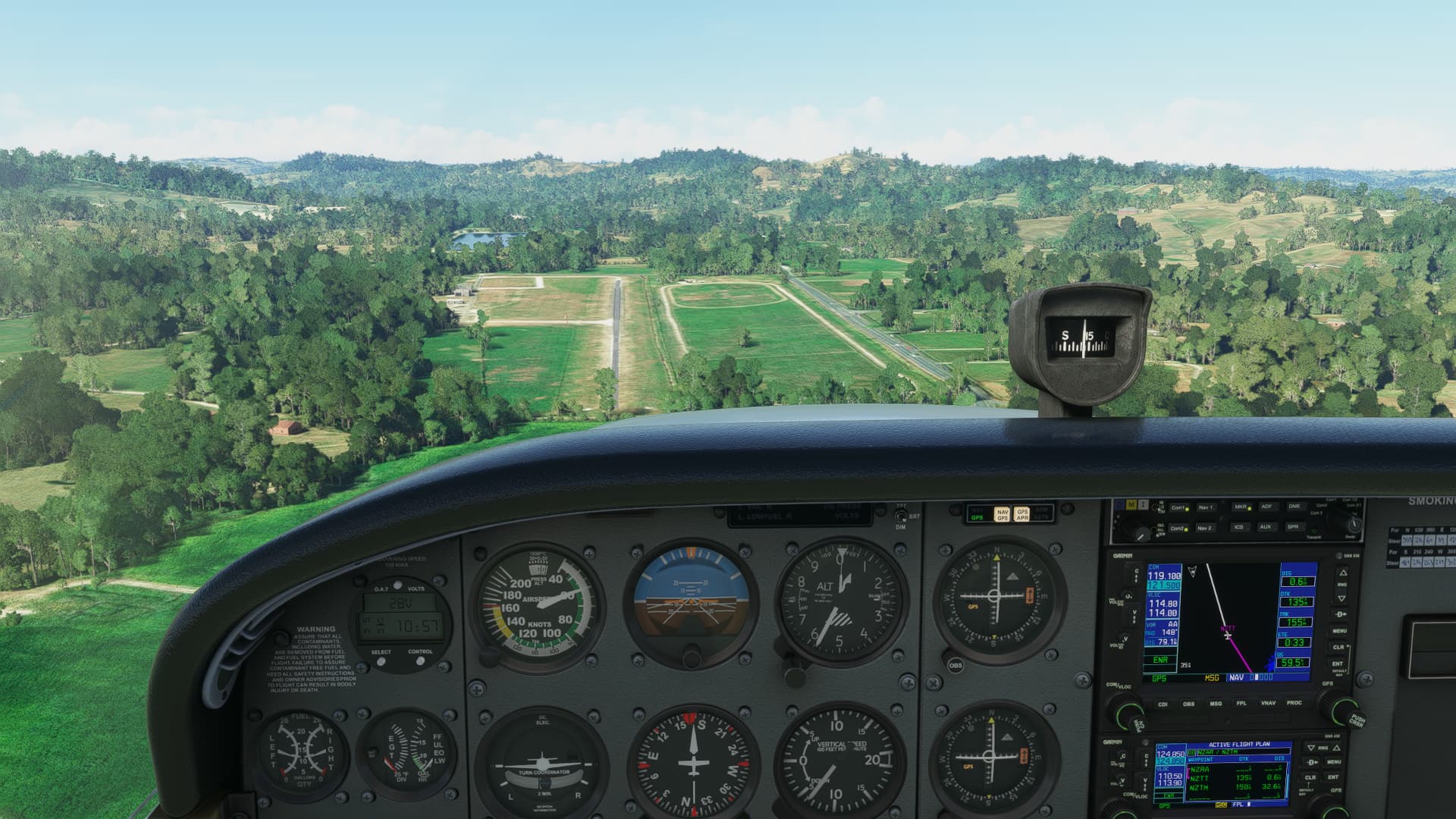
Approaching Taumarunui, which is very much a VFR only airfield, I momentarily broke out the cloud only to see rising terrain all around the aircraft. It was going to be impossible to make a safe approach to land, so I bugged out, and following the valleys course, applied full power and commenced a climb back up to 6000 feet.
The nearest airfield function on the GNS750 showed me Taupo (NZAP) was 40 miles away, so I set heading, knowing that I could at least get down to around 1800 feet over the large adjacent lake to pick up visual reference with it’s shoreline, and then follow that to the runway.
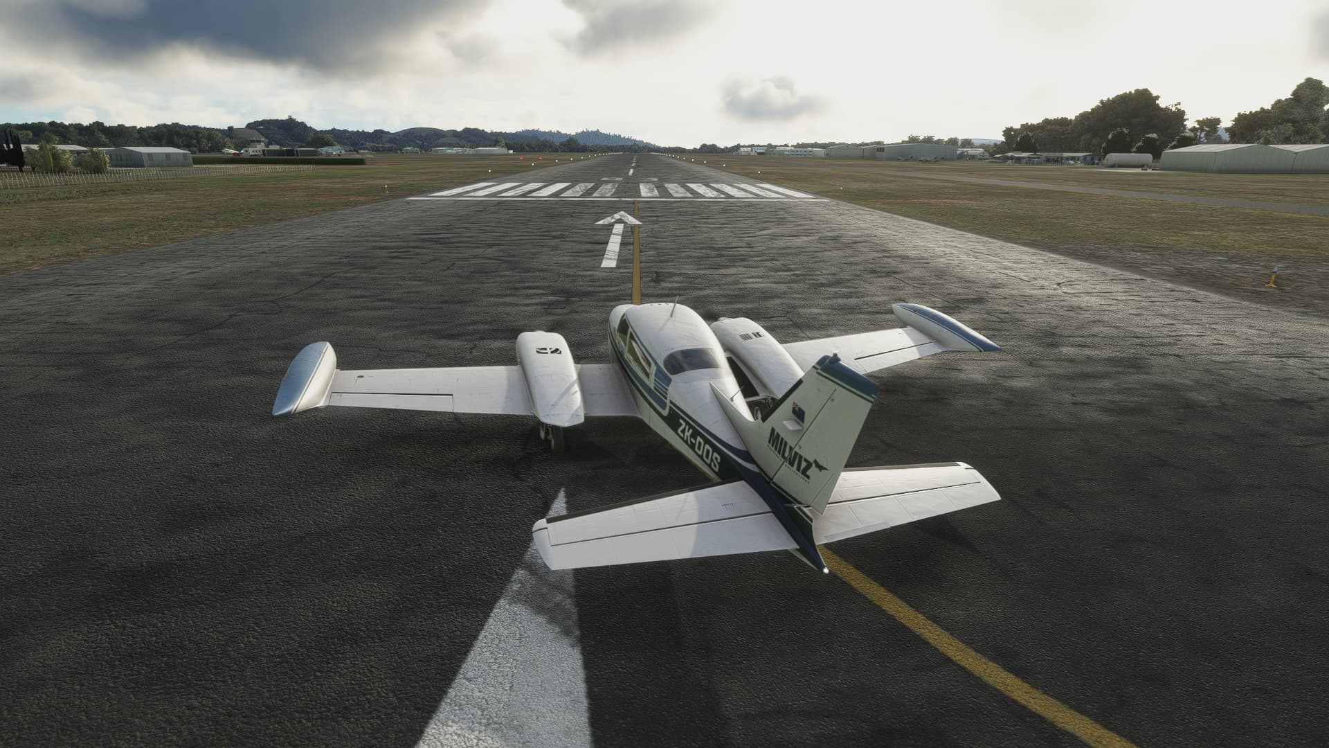
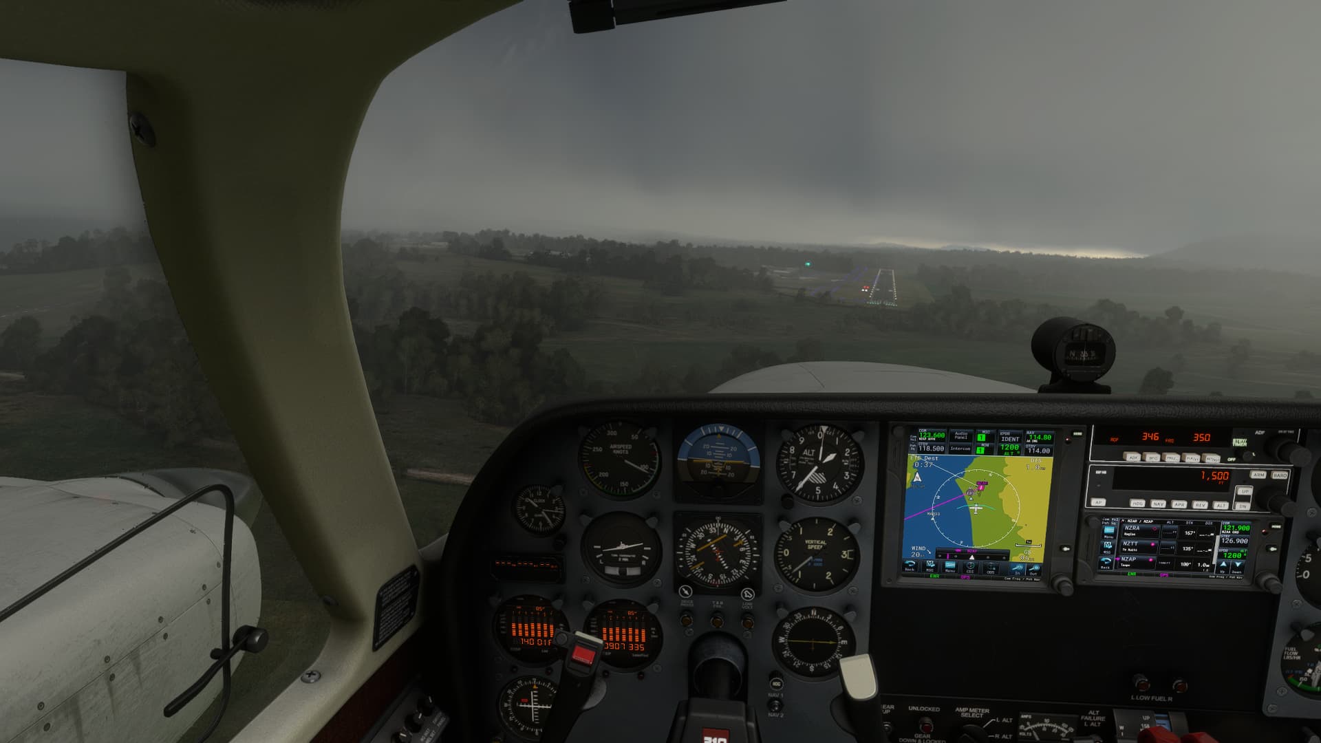
Visibility on the ATIS was down to 3nm, but thankfully the plan worked, and the runway 35 lights came into view as I used the GPS to line myself up on an approach course.
I think I’ll wait for the weather to clear before re-flying this route in clearer conditions! What was meant to be a relaxing sim session turned into a rather stressful event ![]()
PS- There’s been a lot of chat in another topic about the 310 flaps being too draggy on landing. The 310 has split type flaps as opposed to fowler type flaps which function almost exclusively as drag generators when deployed. It marvels me at how immersive flying the 310 is on a desktop setup, and takes me right back to the fond memories of flying in IRL. Blackbird have done an outstanding job recreating the experience!