Hi,
Does anyone know the process of how to import Bing/Microsoft Maps data into the SDK?
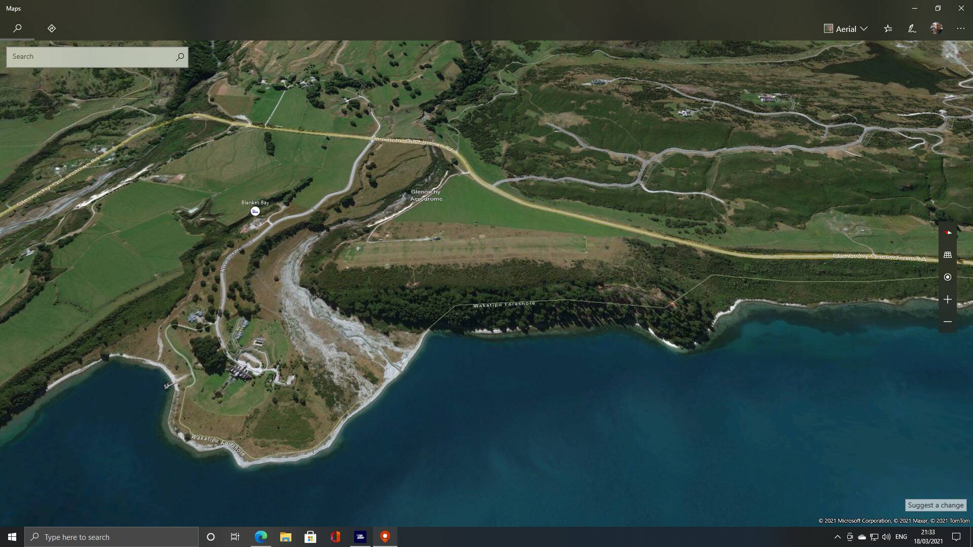
I’m trying to o a few airports and the imagery available on the Microsoft Maps app is far superior so I thought I’d bring it in and could not find a way to do it.
Example:
I could do it with Google but the Microsoft imagery is better in this case IMO.
Is there something in the SDK I’m missing or will this be an option in the future?
Thanks in advance.
1 Like
Interesting question.
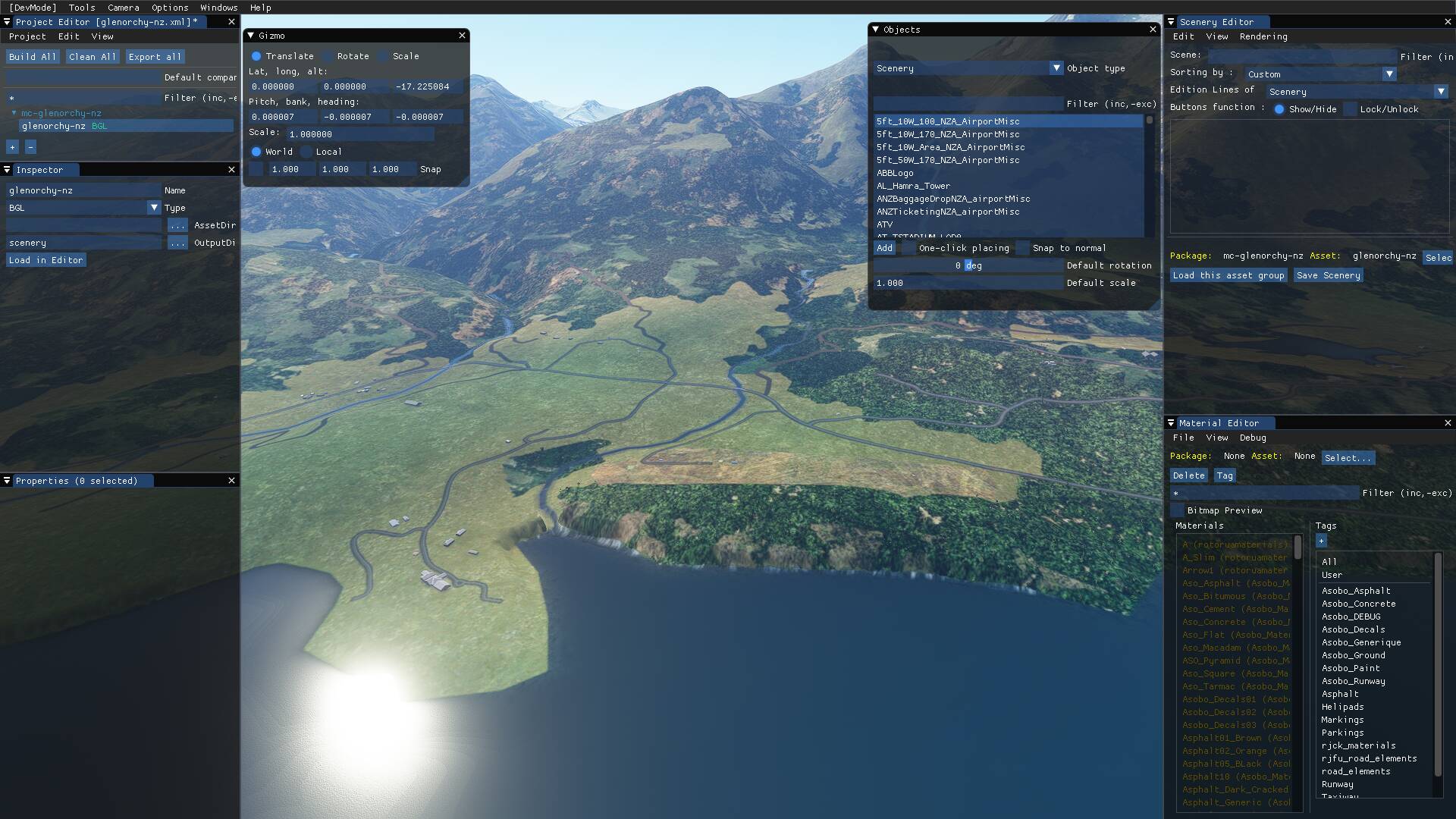
Microsoft presents aerial photography in maps, you’re looking at the real world, in a specific season. The makers of MSFS are working real hard to put this information on the screen for us, moving along with your aircraft and changeable with the season. Because all this information has to move smoothly on your screen, the simulator must present a stylized version. The elevation data Bing produces is also used in MSFS, but they enhance that information with the aerial photo’s. What you ask is the scenery work in progress ! Developers can help.. but if you look at season-dependent things like the river on the right, it is quite difficult to model it. When the season goes to spring and summer, the river will dry up, in the winter there will probably be snow. As fas as I know, it is not easy to let handcrafted scenery change with season.
The world is big. When the quality with aerial photography differs too much (as in this case), MSFS people are very interested in this information.
I suggest to post your images here
1 Like