ISSUE DESCRIPTION
Description of the issue: At several locations I see straight border lines and Rectangular/quadratical tiles of tree vs. no trees.
I have the feeling that I see such patterns more often than when I started using the simulator in January. I have since installed the SU 1 beta and currently have the latest one installed (1.3.13.0) with which the screenshots were taken.
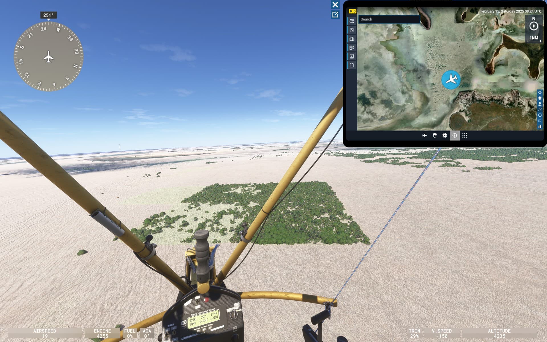
ICAO, coordinates, or specific location: I’ve seen similar patters at many locations, e.g. at S2.997, E35.753 (at altitude ~14000), S3.232, E35.596 or S3.232, E35.596 (screenshots below). Issue seems to be confined to specific areas.
[PC Only] Did you remove all your community mods/add-ons? None installed.
FREQUENCY OF ISSUE
How often does this occur for you: The pattern is persistent on each spot.
REPRODUCTION STEPS
Please list clear steps you took in order to help our test team reproduce the same issue:
- Fly to any of the coordinates listed above or on the screenshots below
- Fly on an altitude low enough to see the trees, but high anough to get an aerial view onto them.
YOUR SETTINGS
[PC Only] Are you using Developer Mode or have you made any changes to it? No
[PC Only] What other relevant PC specs can you share? NVIDIA 3070 mobile
MEDIA

(Coords: S2.997, E35.753 at altitude ~14000)

(Coords: S3.232, E35.596, Ngorogoro crater at altitude ~9000)
(^ Coord. S18.809, E16.683)
![]() For anyone who wants to contribute on this issue, Click on the button below to use this template:
For anyone who wants to contribute on this issue, Click on the button below to use this template:
Do you have the same issue if you follow the OP’s steps to reproduce it?
•
Provide extra information to complete the original description of the issue:
•
If relevant, provide additional screenshots/video:
•