ETM10 Enhanced Terrain Mesh 10m for Formosa Island (Taiwan), Penghu Islands (or Pescadores Islands) and Orchid Island - version 1.0
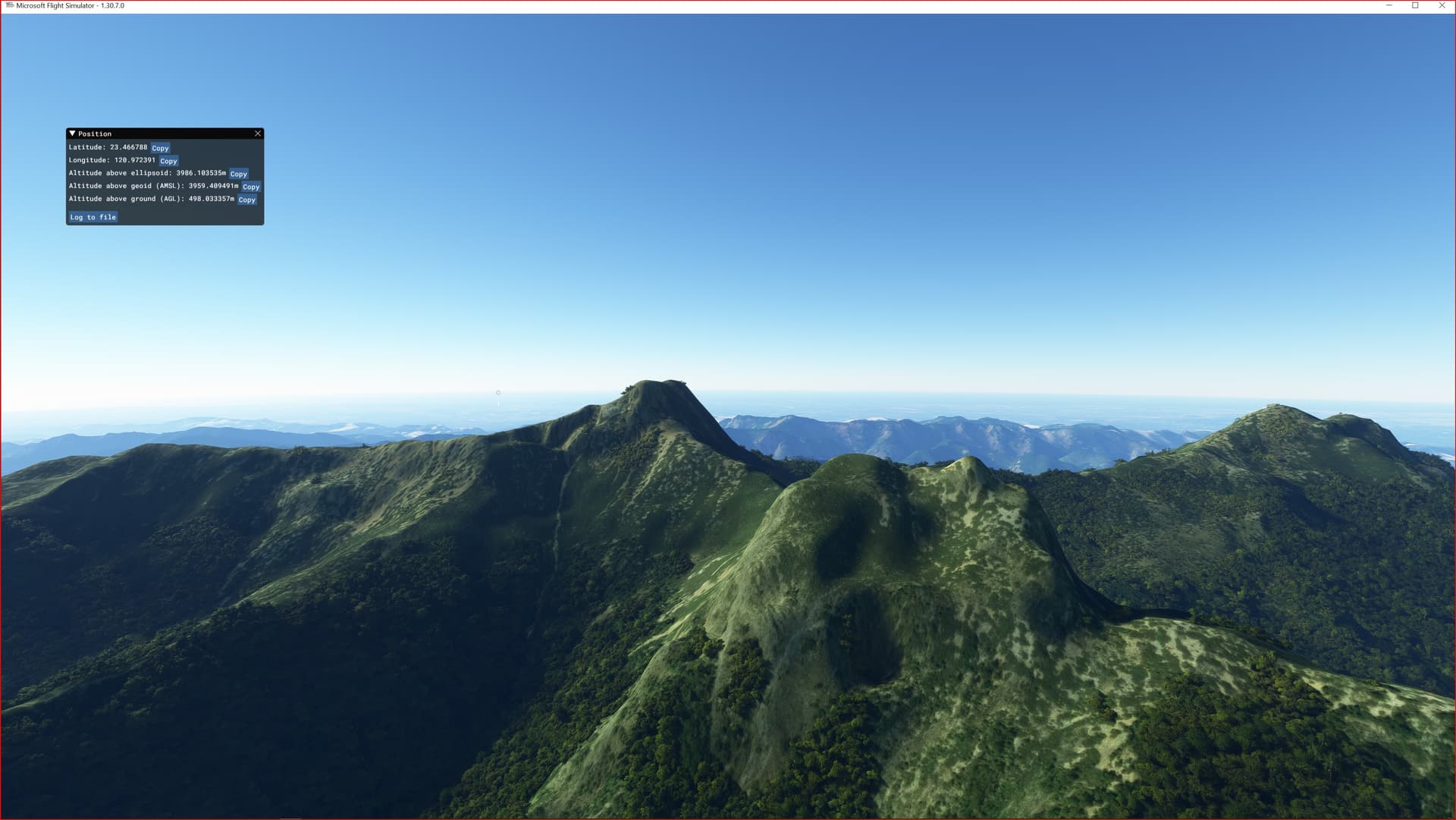
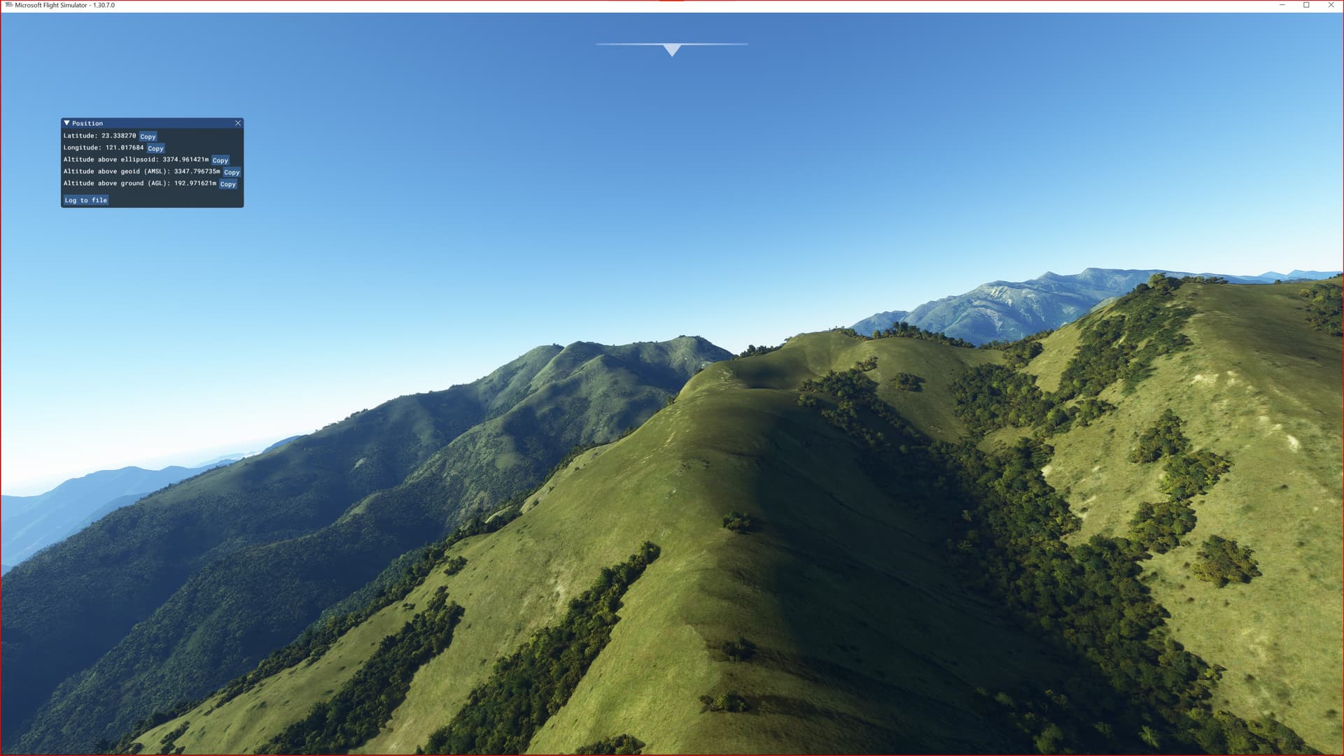
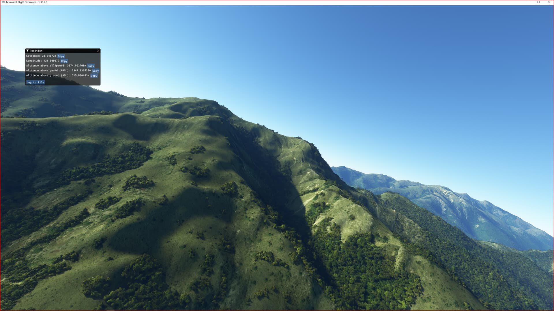
This is an Enhanced Terrain Mesh derived from Sentinel-1A mission of the European Radar Observatory for the Copernicus joint initiative of the European Commission (EC) and the European Space Agency (ESA), 1/3 arc sec (10 meters). Mainly the area covered by this terrain mesh is related to the region of … see coverage map.
Affected Sceneries
Any large Payware and Freeware Airport I could think of, has been excluded from the mesh. So hopefully the glitches will be minimal.
Please report any bugs with sceneries or airports and I will see what I can do!
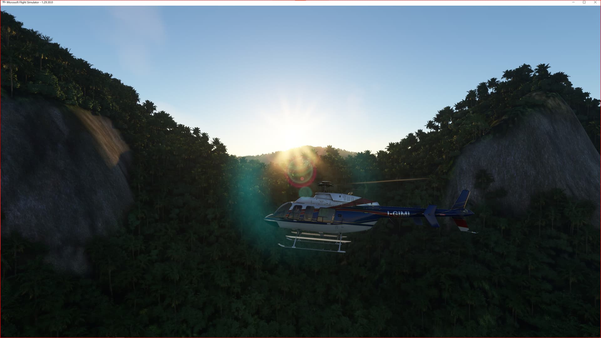
From this terrain mesh I went to correct most of the water bodies (lakes, reservoirs over a specific surface). Another novelty can be done by going to fly in the valley that leads to the district of Liugui (municipality of Kaohsiung).
Created using MSFS Toolkit by Nool Aerosystems.
Enjoy your VFR flights above the Formosa Island. For better enjoy your VFR, the recommended flight altitude should not be above 500ft AGL.
On Discord: Gjanosh61#9850
ETM10 Enhanced Terrain Mesh 10m for Formosa Island