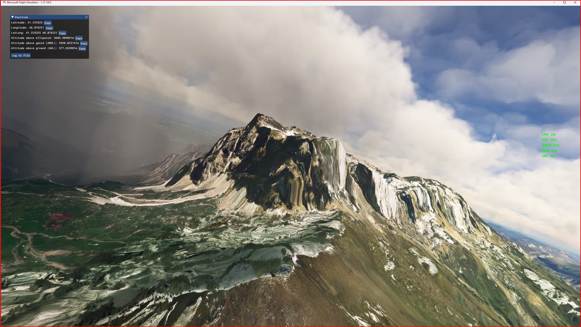
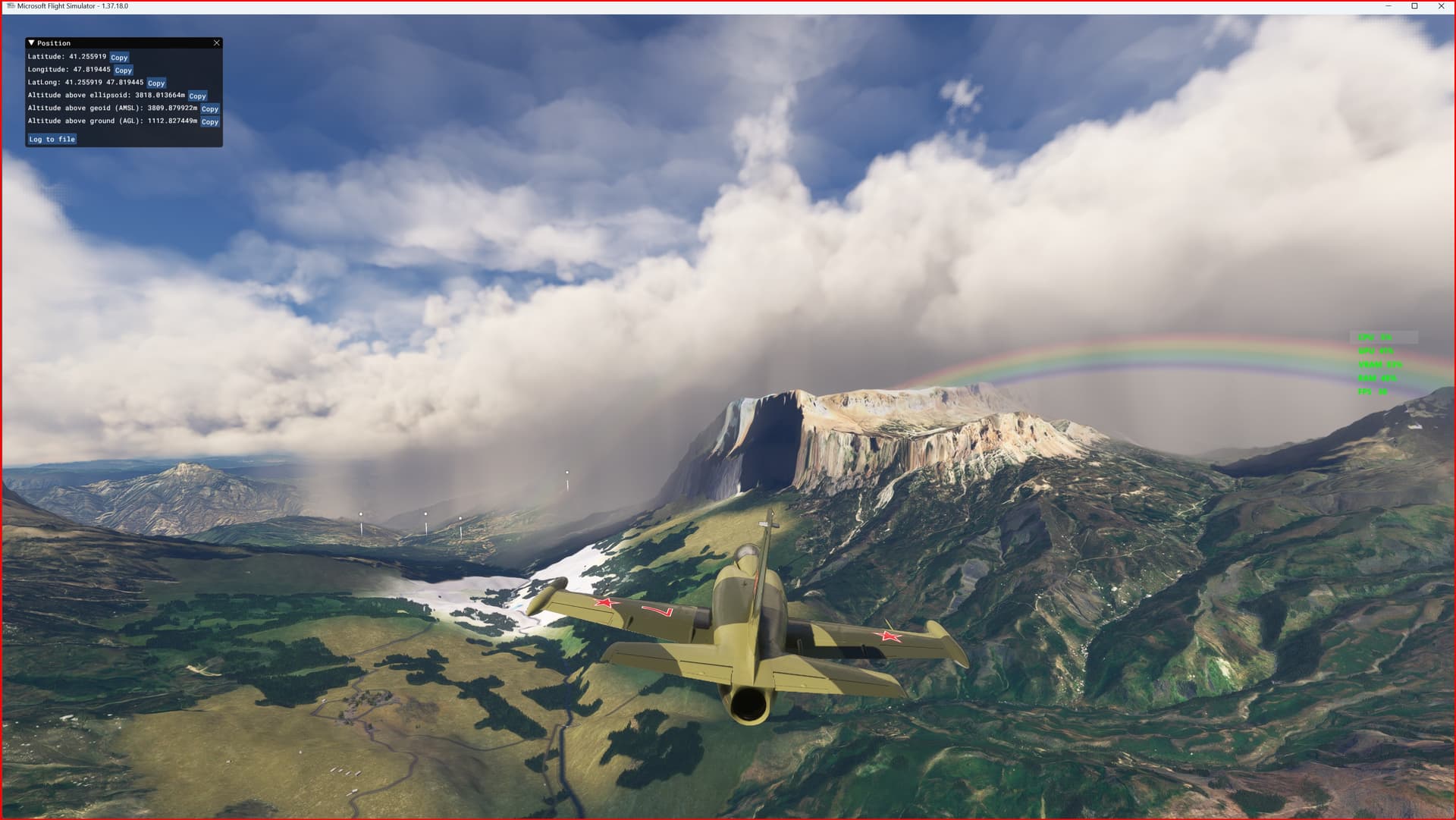
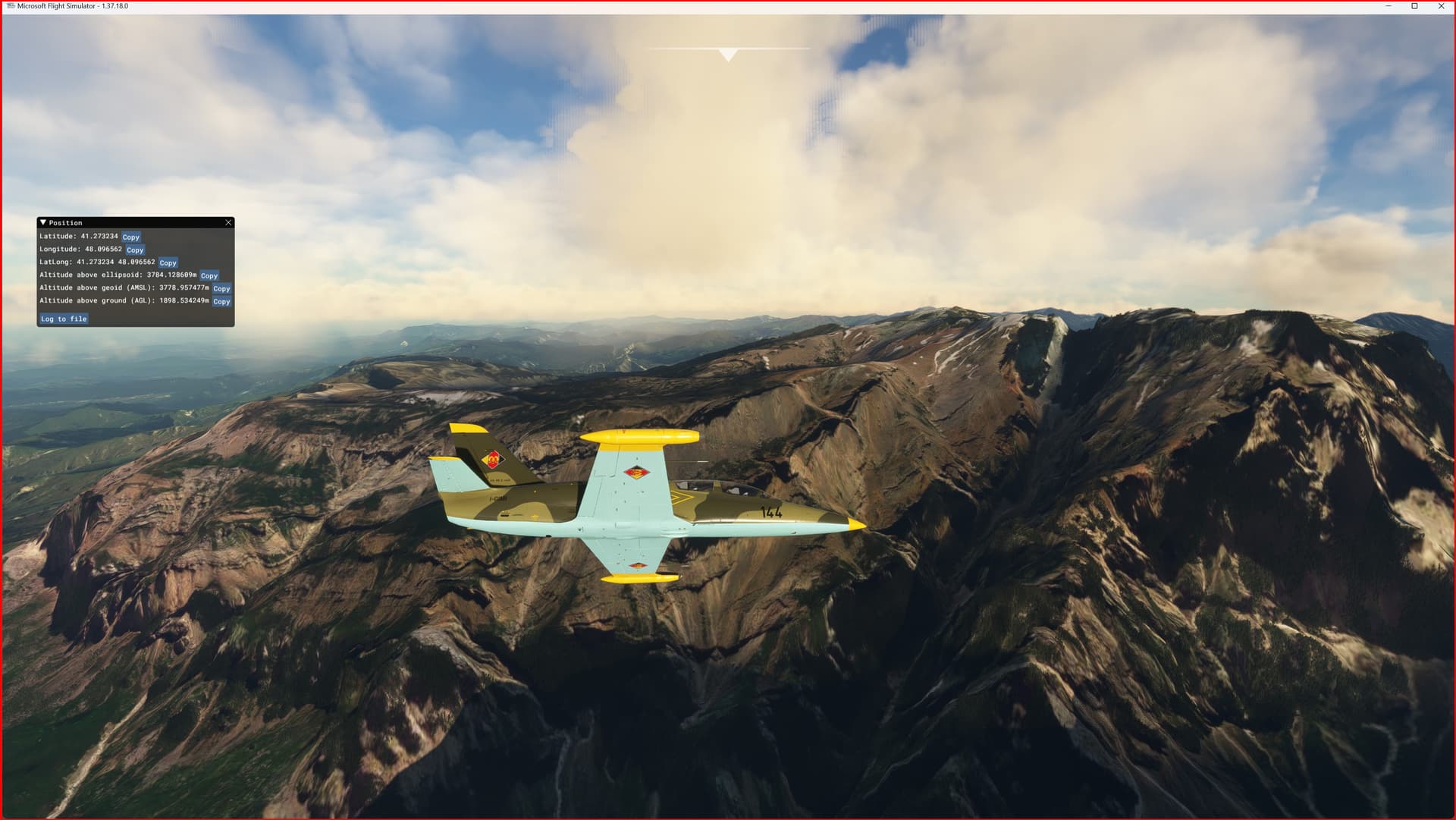
DEM | ETM10m South Caucasus Range Mountain vers. 1.0
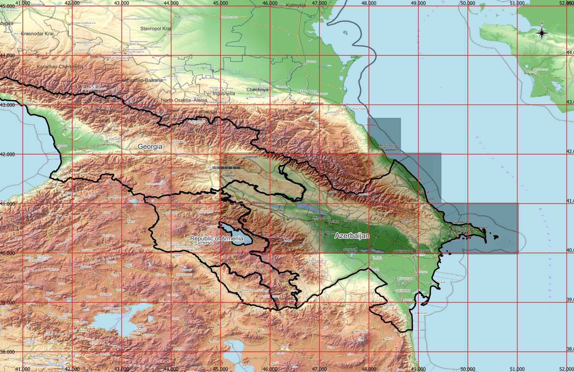
This is an Enhanced Terrain Mesh derived from Sentinel-1A mission of the European Radar Observatory for the Copernicus joint initiative of the European Commission (EC) and the European Space Agency (ESA), 10 meters (1/3 arc sec). Mainly the area covered by this terrain mesh is related to the region of … see coverage map.
Affected Sceneries
Any large Payware and Freeware Airport I could think of, has been excluded from the mesh. So hopefully the glitches will be minimal.
Please report any bugs with sceneries or airports and I will see what I can do!
Created using MSFS Toolkit by Nool Aerosystems (MSFS Toolkit).
Flattening for all bodies of water, excluding rivers. (Thanks to @Henrikx)
On Discord: ItalianCharter Team // Gjanosh61#9850
https://it.flightsim.to/file/75228/dem-etm10m-south-caucasus-range-mountain