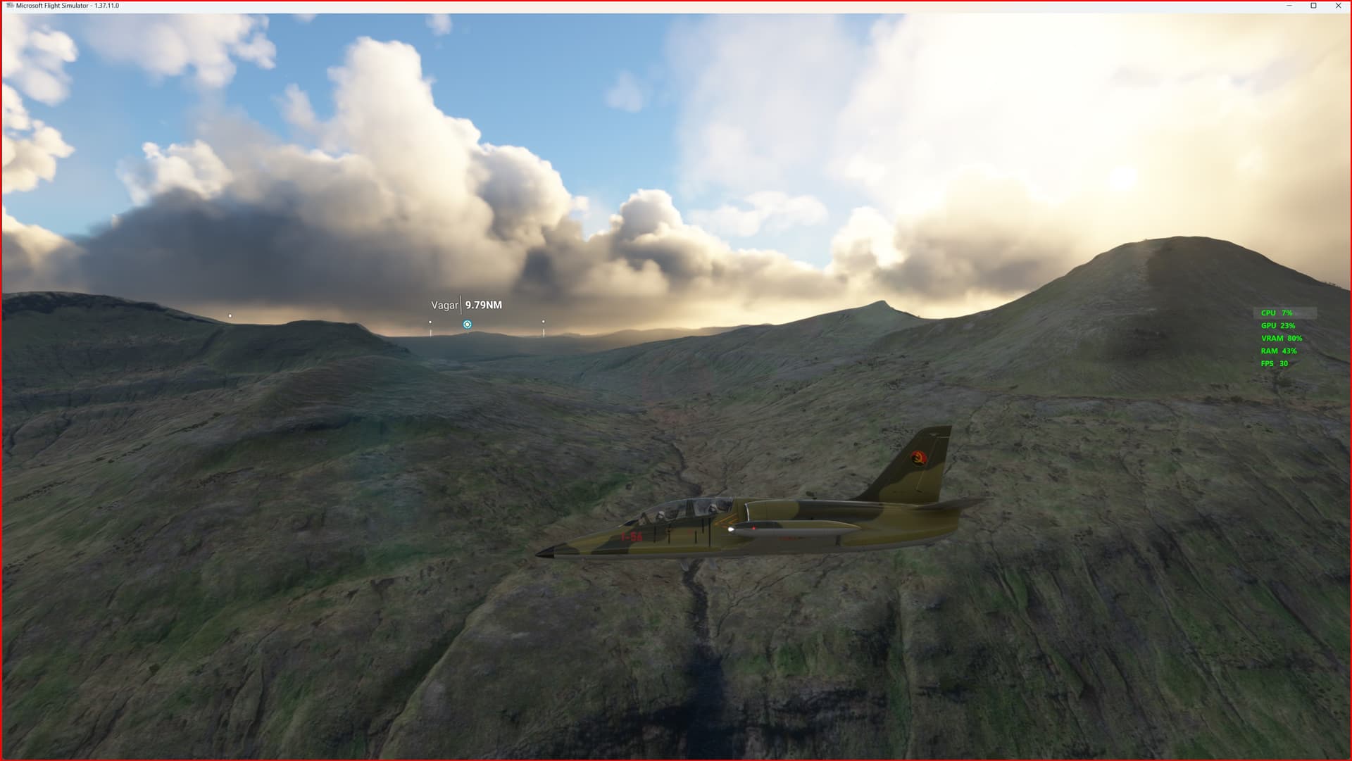
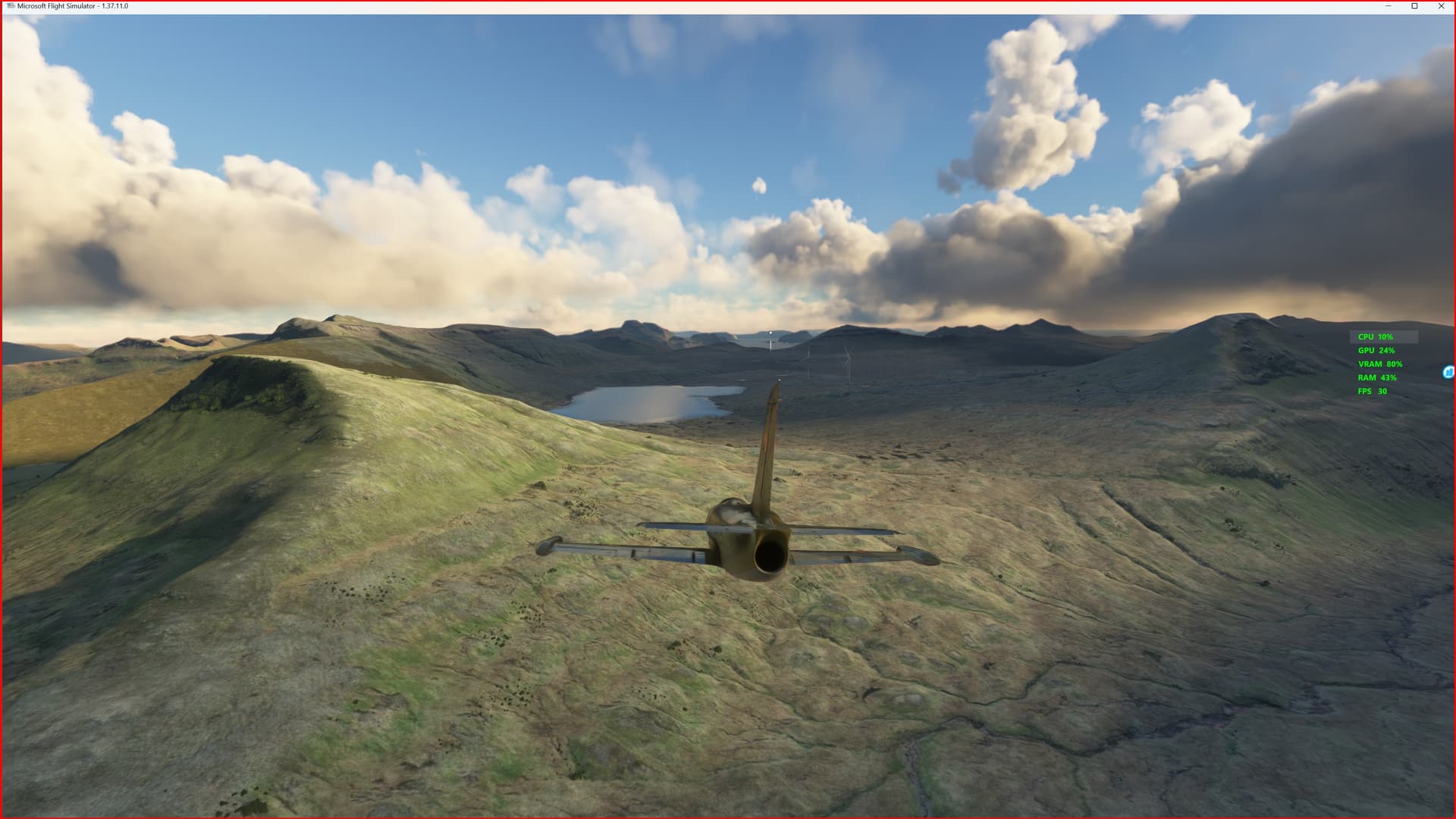
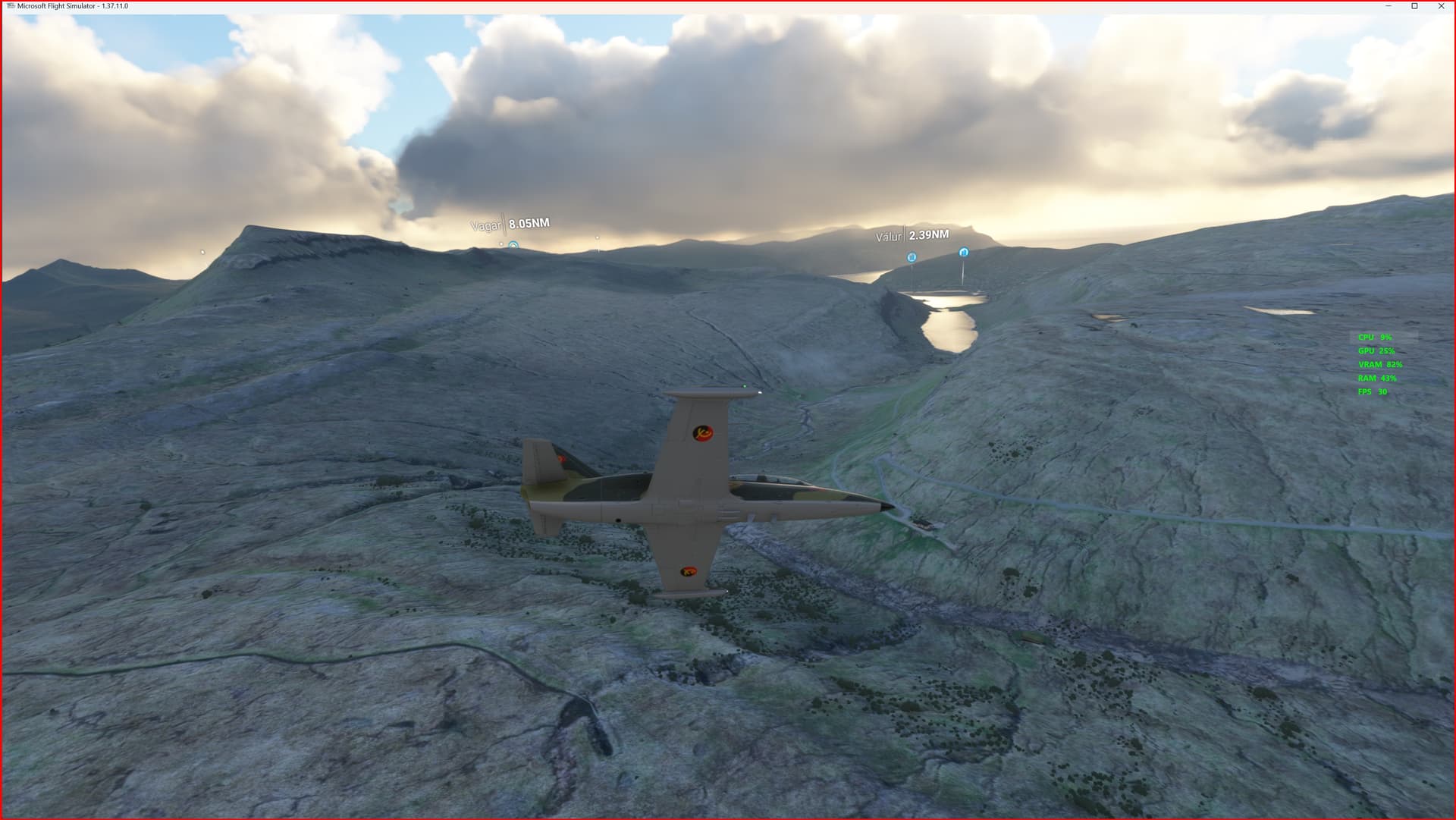
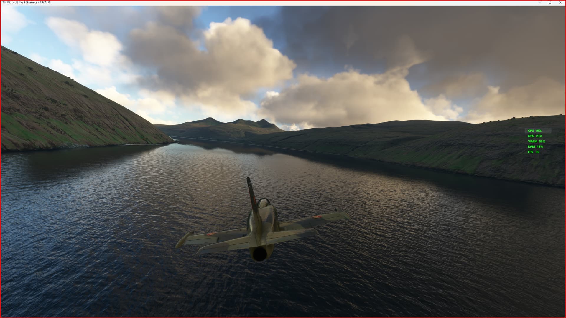
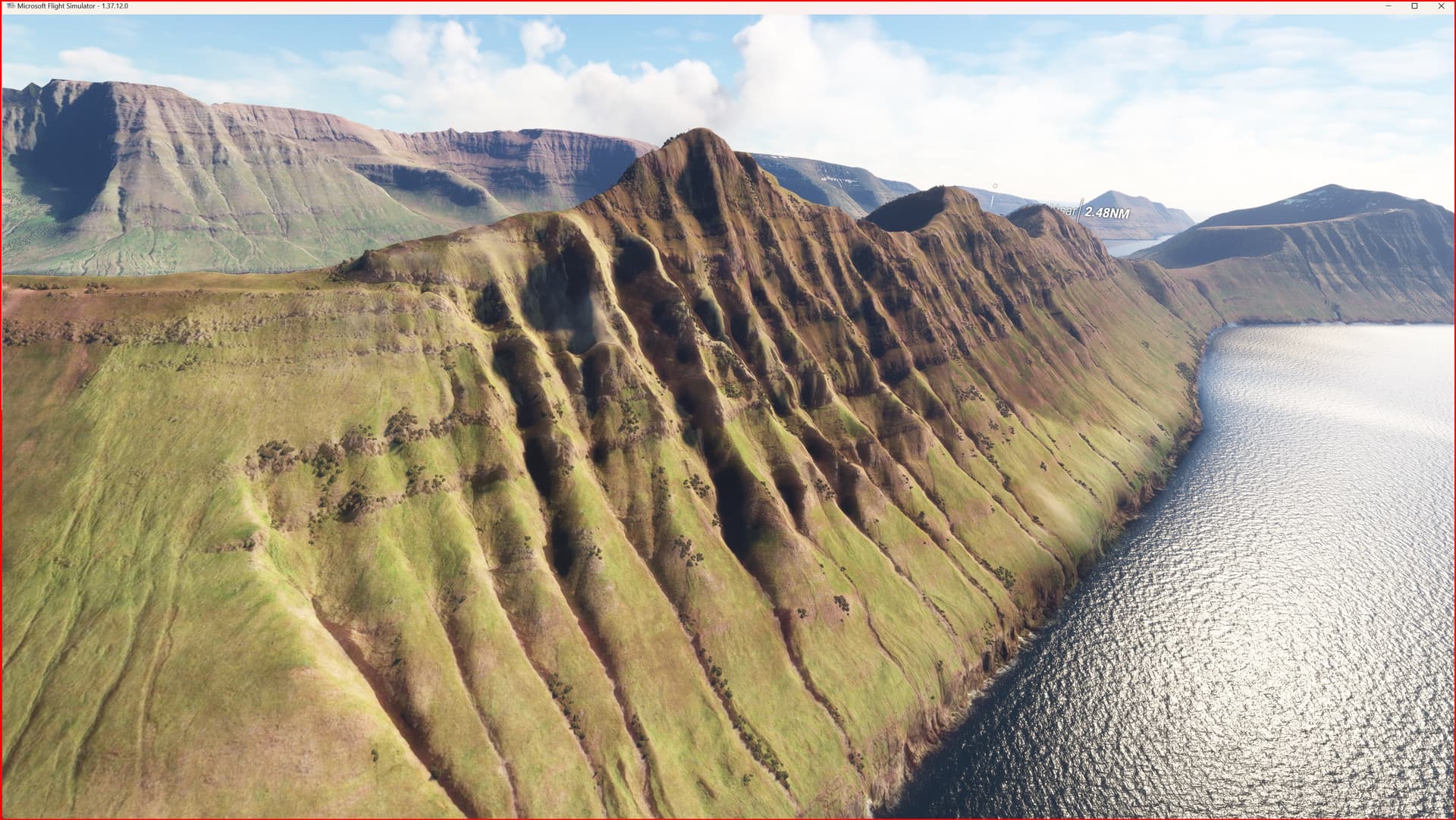
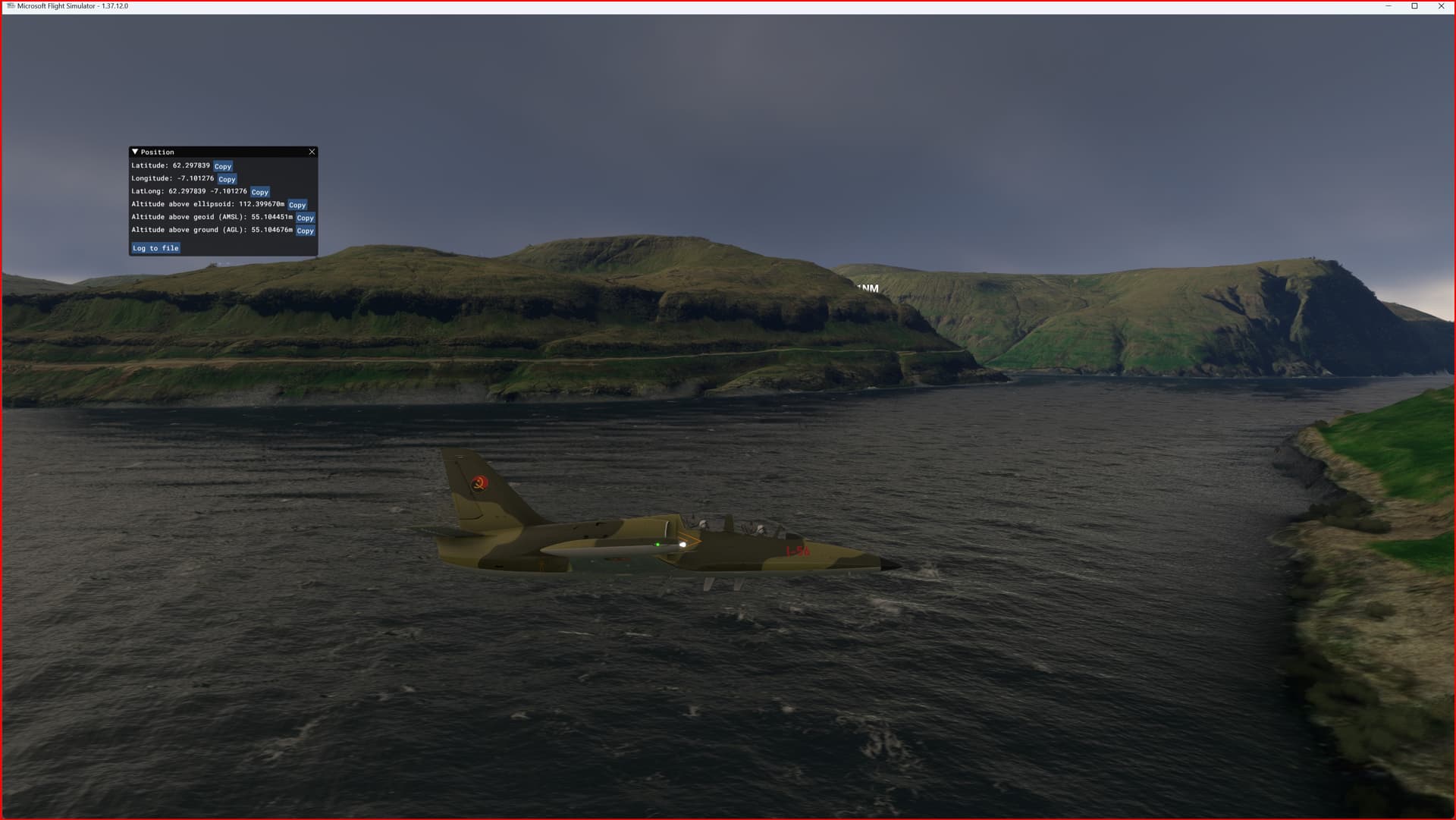
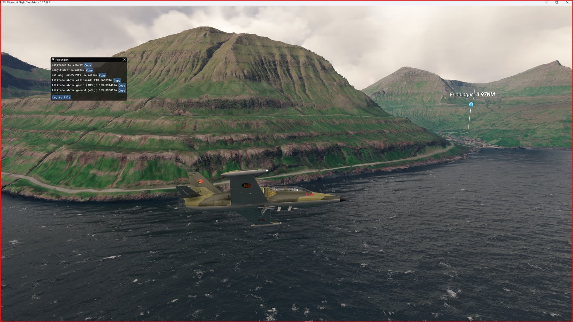
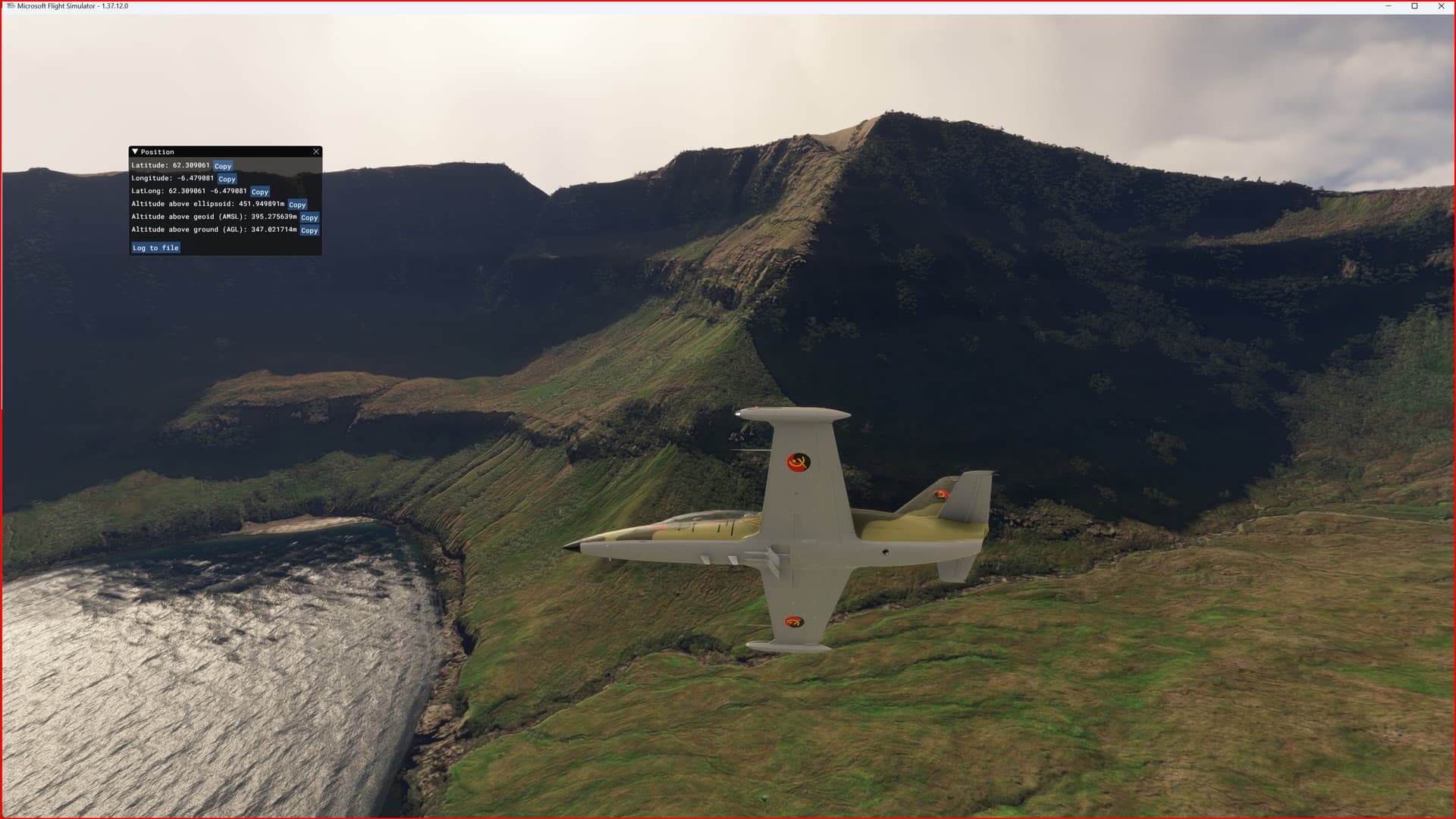
DEM | ETM2 Enhanced Terrain Mesh 2m for Faroe Islands - version 1.0.0
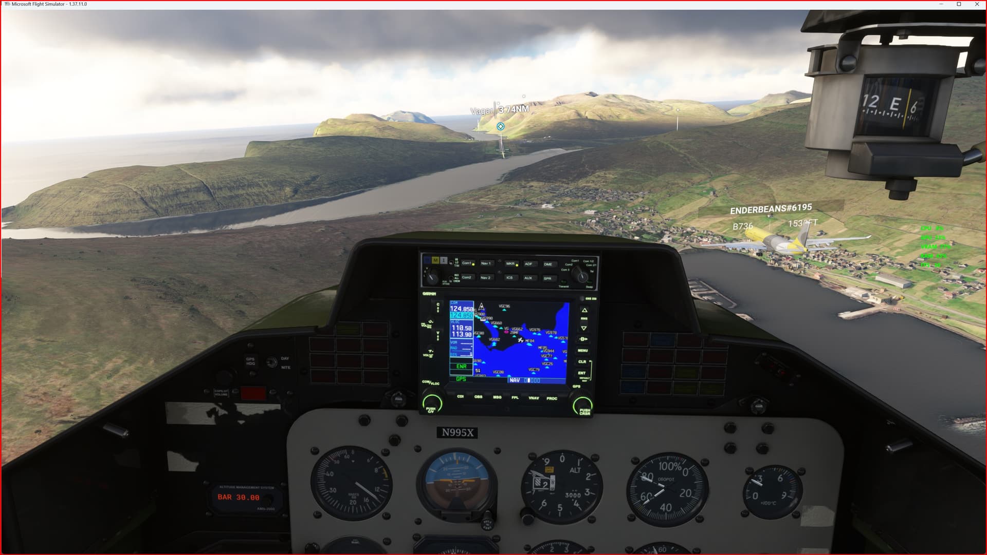
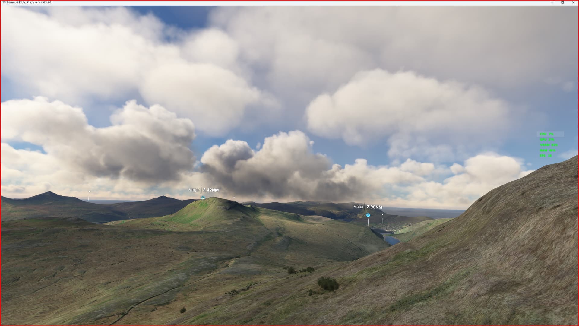
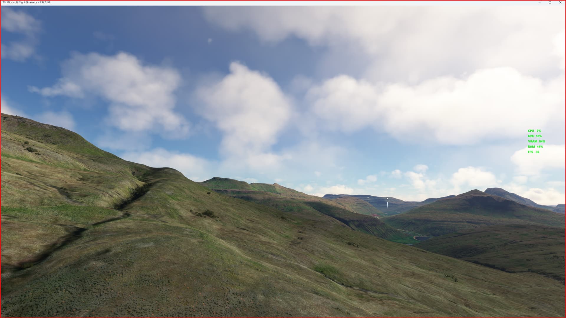
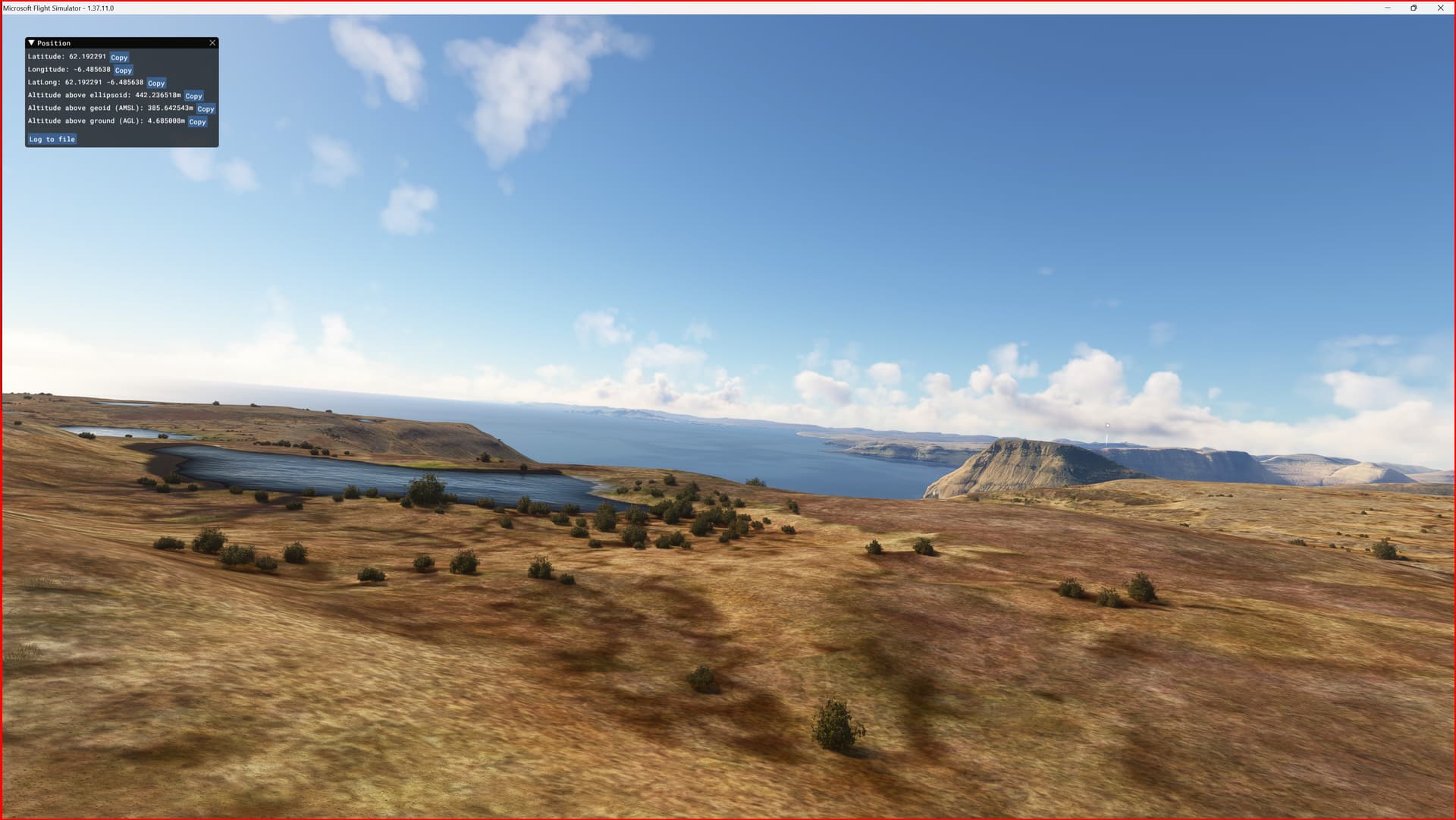
This is an Enhanced Terrain Mesh 2 meters derived from Føroyakort / Umhvørvisstovan, which is the cartographic authority of the Faroe Islands, Mainly the area covered by this terrain mesh is related to the region of … see coverage map.
Affected Sceneries
Any large Payware and Freeware Airport I could think of, has been excluded from the mesh. So hopefully the glitches will be minimal.
Please report any bugs with sceneries or airports and I will see what I can do!
Created using MSFS Toolkit by Nool Aerosystems (MSFS Toolkit).
This release introduces flattening for all bodies of water. (Thanks to @Henrikx)
Note:
This Terrain Mesh doesn’t conflict with the only freeware airport in the Faroe… if anything it’s the other way around. I’m sorry, but it’s not up to me.
On Discord: ItalianCharter Team // Gjanosh61#9850
https://it.flightsim.to/file/72610/dem-etm2-enhanced-terrain-mesh-2m-for-faroe-islands