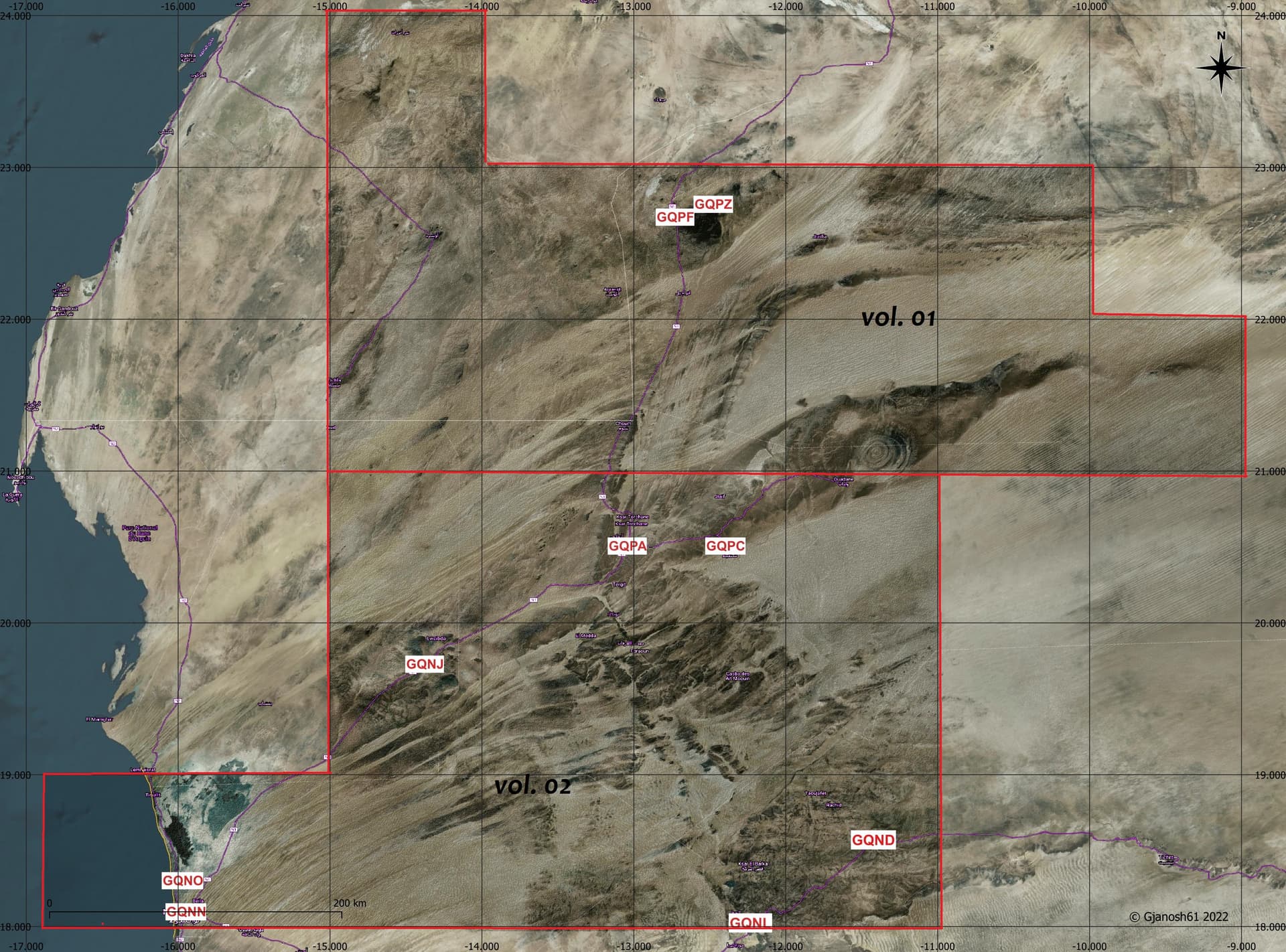
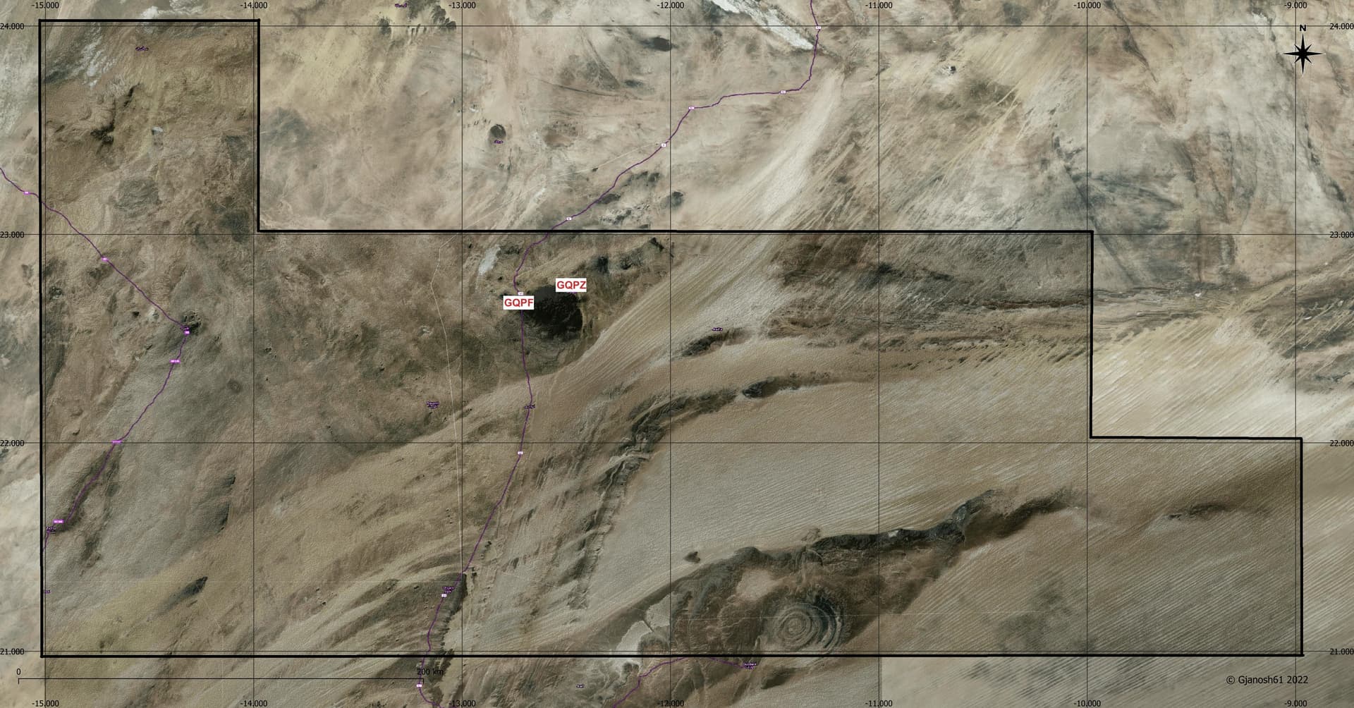
ETM10 Enhanced Terrain Mesh 10m for Mauritania - Eye of Sahara vol.01 - version 1.0.0
This is an Enhanced Terrain Mesh derived from Sentinel-1A mission of the European Radar Observatory for the Copernicus joint initiative of the European Commission (EC) and the European Space Agency (ESA), 10 meters. Mainly the area covered by this terrain mesh is related to the region of … see coverage map.


Created using MSFS Toolkit by Nool Aerosystems (MSFS Toolkit)
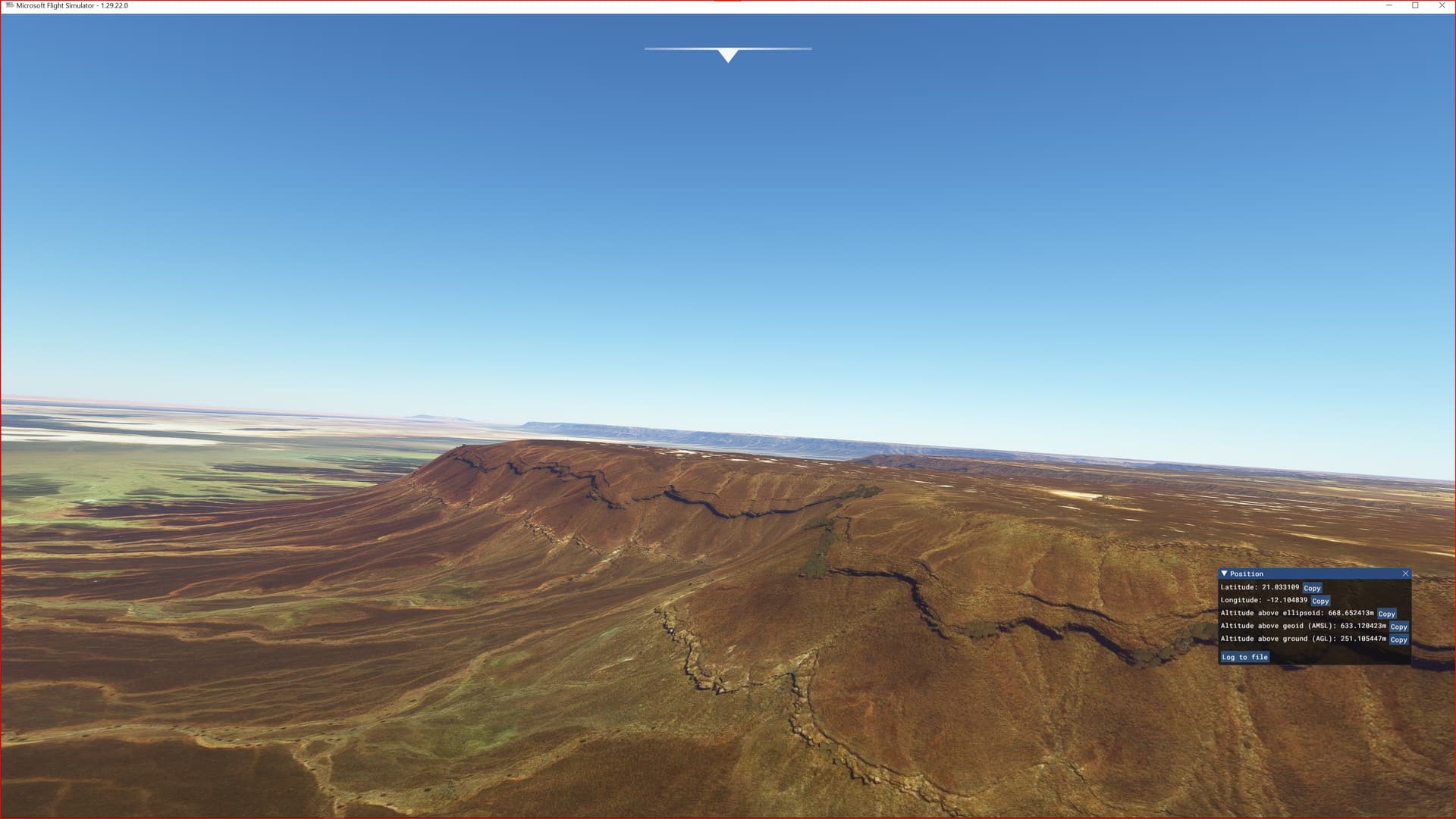
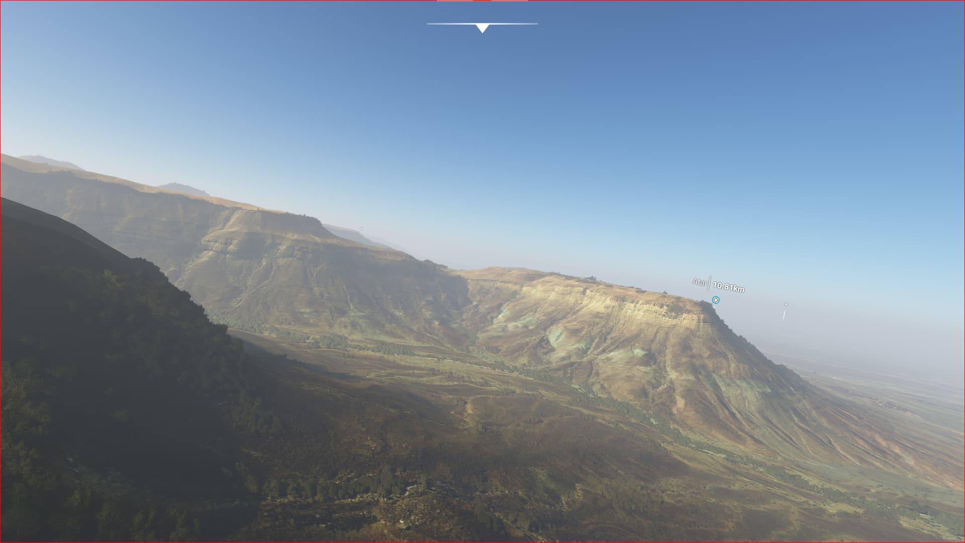
Enjoy your VFR flights above the Mauritania (Eye of Sahara, Ben Amera). To better enjoy your VFR, the recommended flight altitude should not be above 500ft AGL.
On Discord: Gjanosh61#9850