| Category | Options |
|---|---|
| 2024 | MSFS2024 |
| Creator | ItalianCharter Team |
| Category | Scenery |
| Cost | payware — ItalianCharter Team |
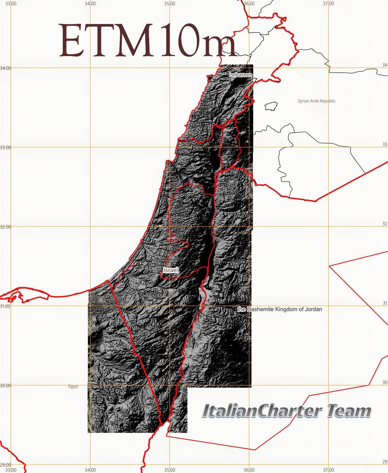
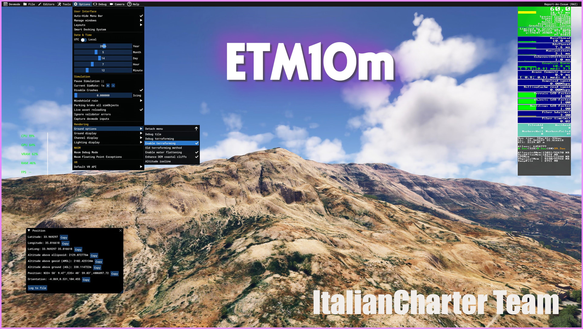
Enhanced Terrain Mesh 10m for Microsoft Flight Simulator 2024
Overview
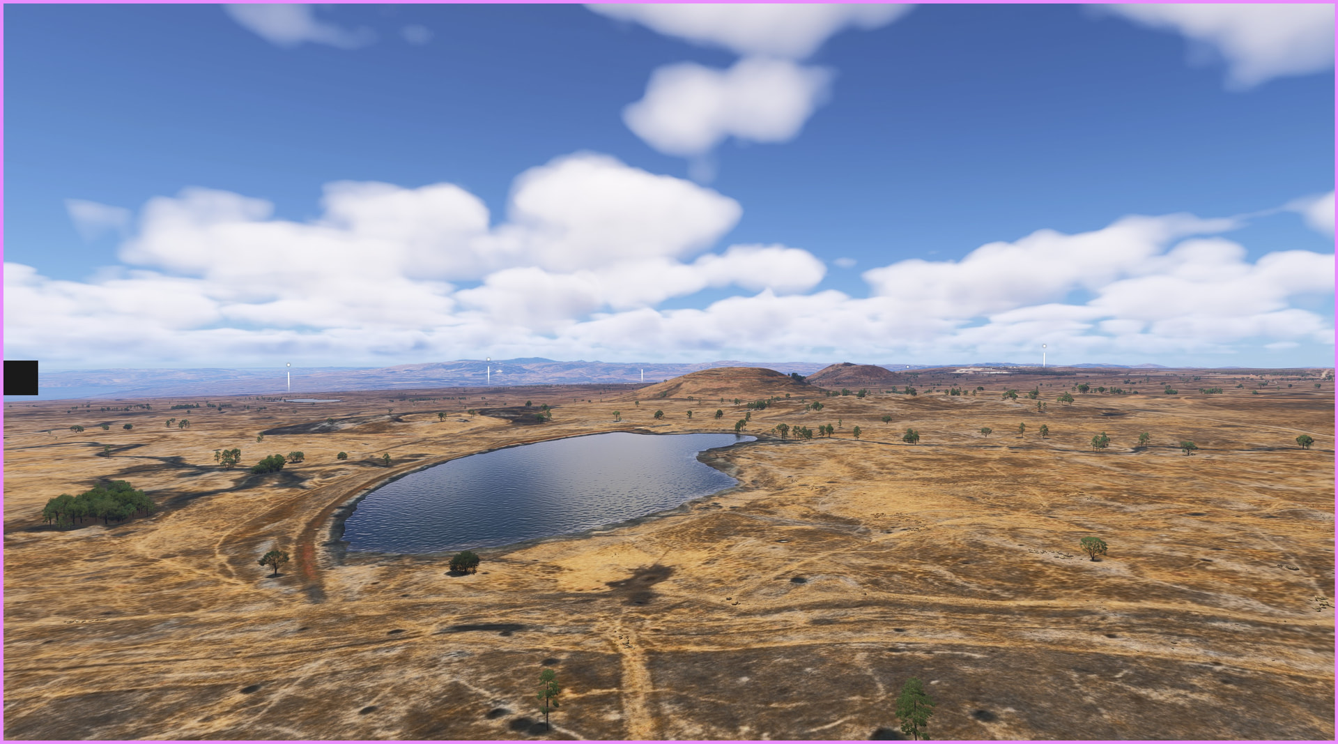
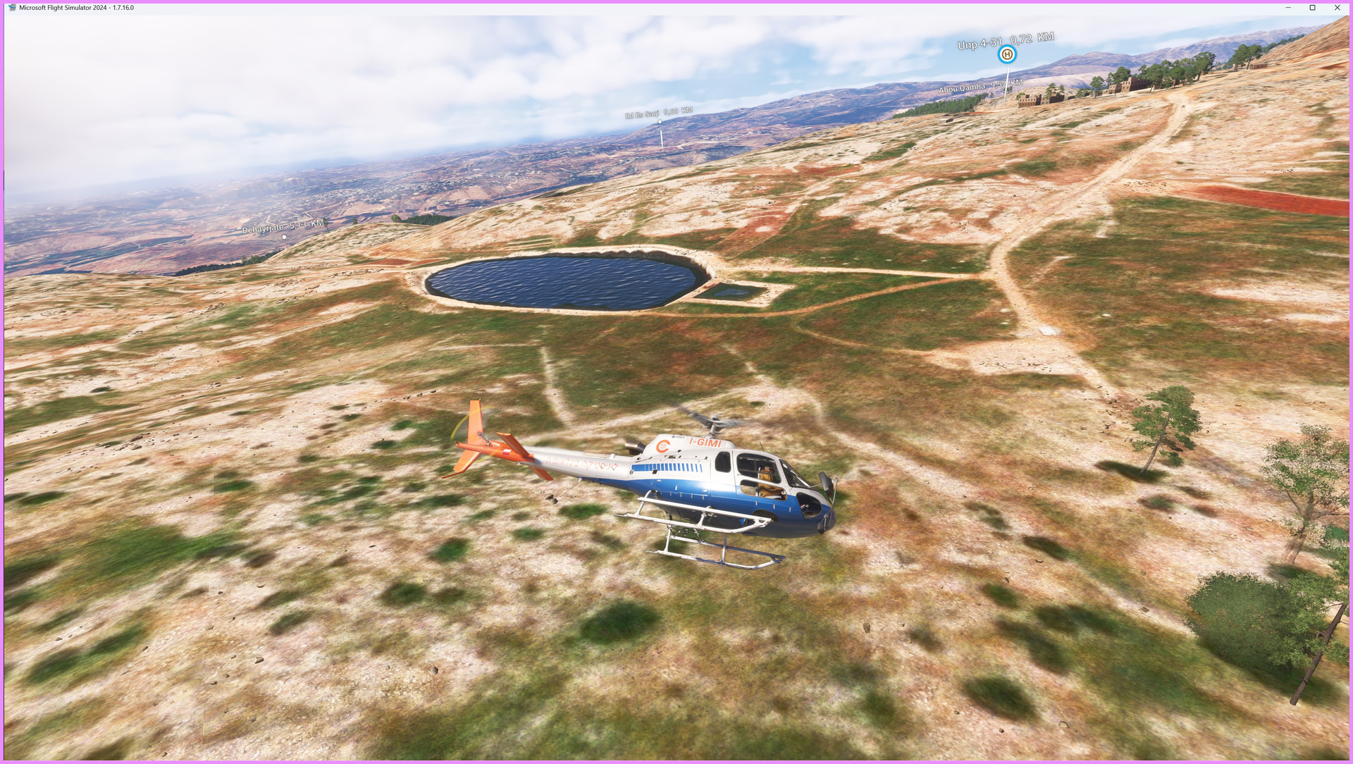
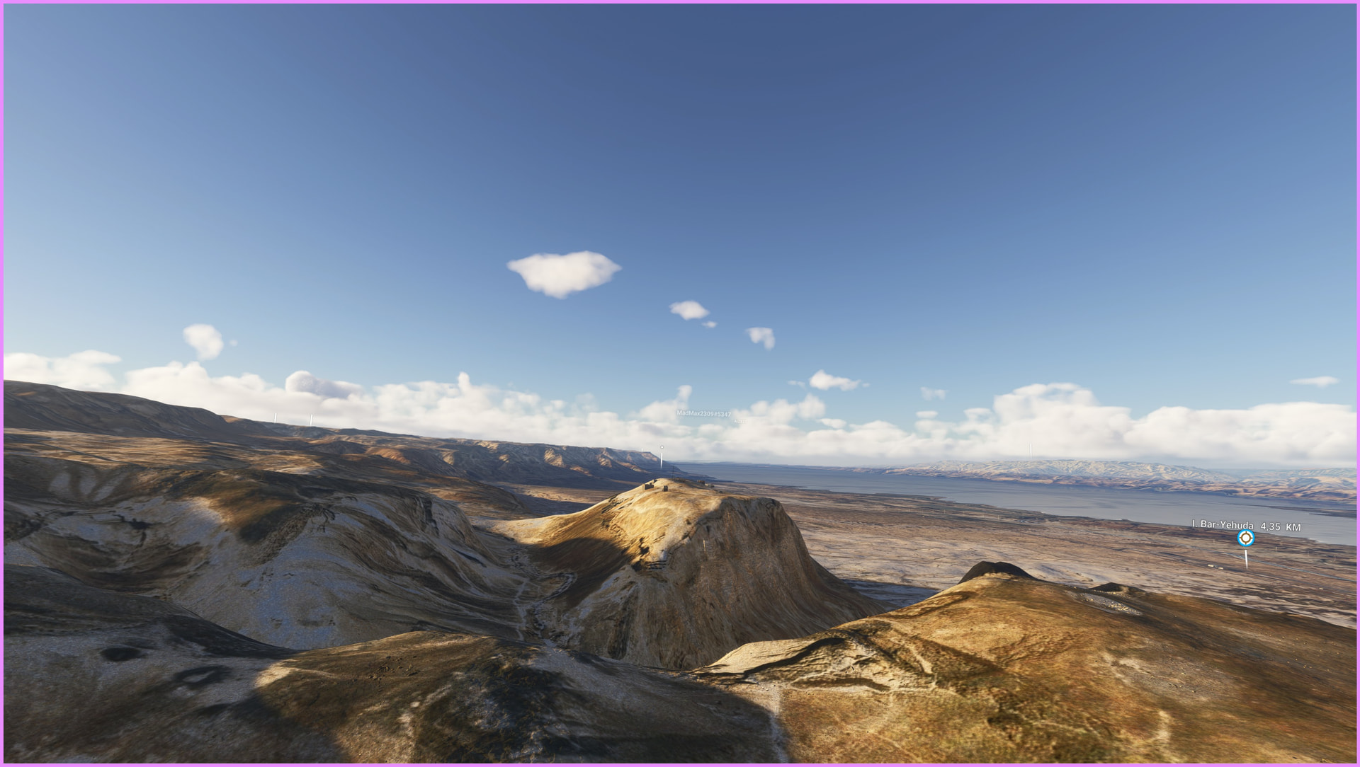
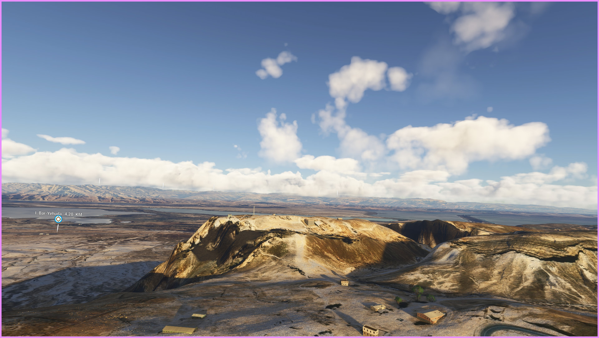
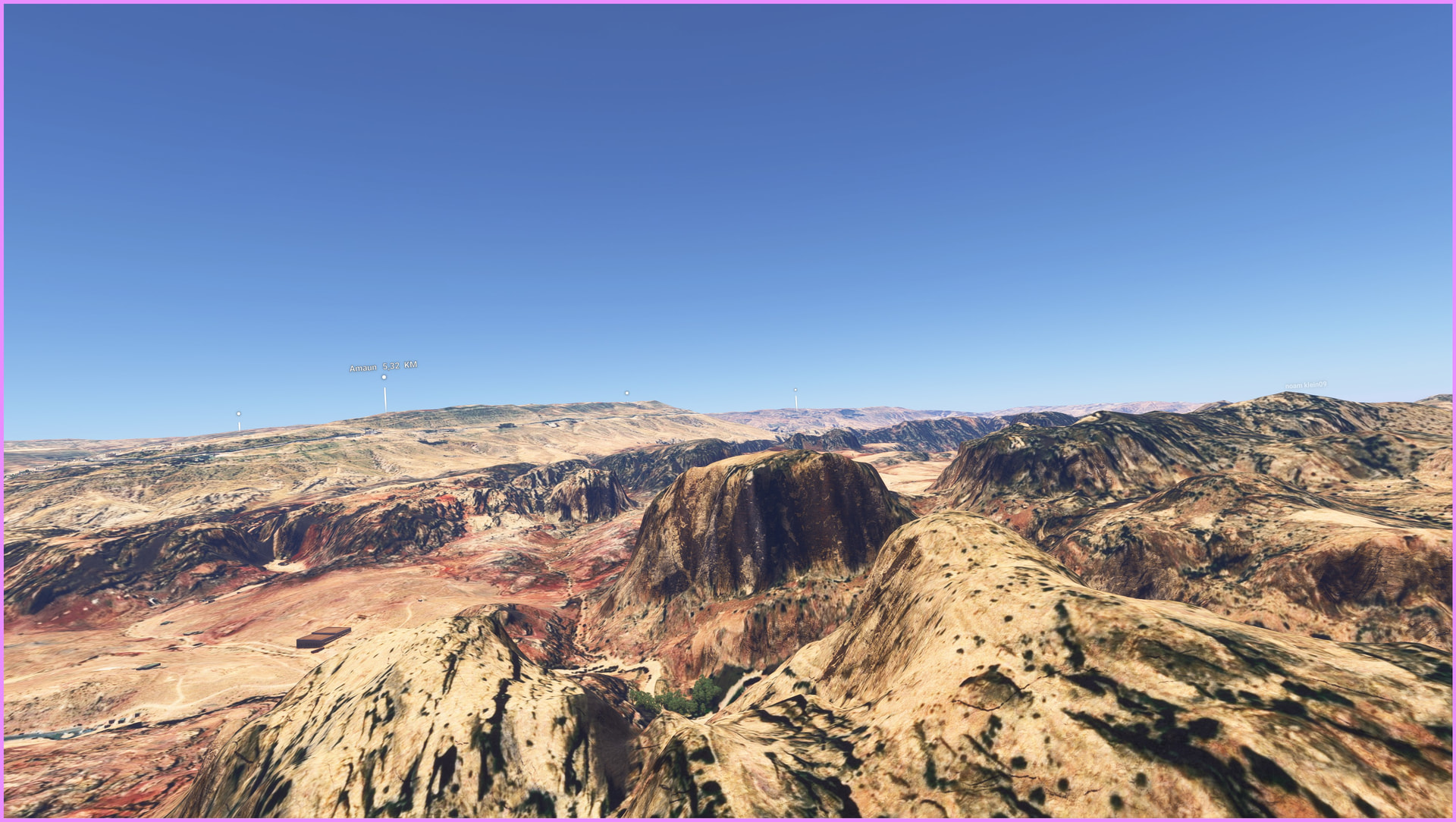
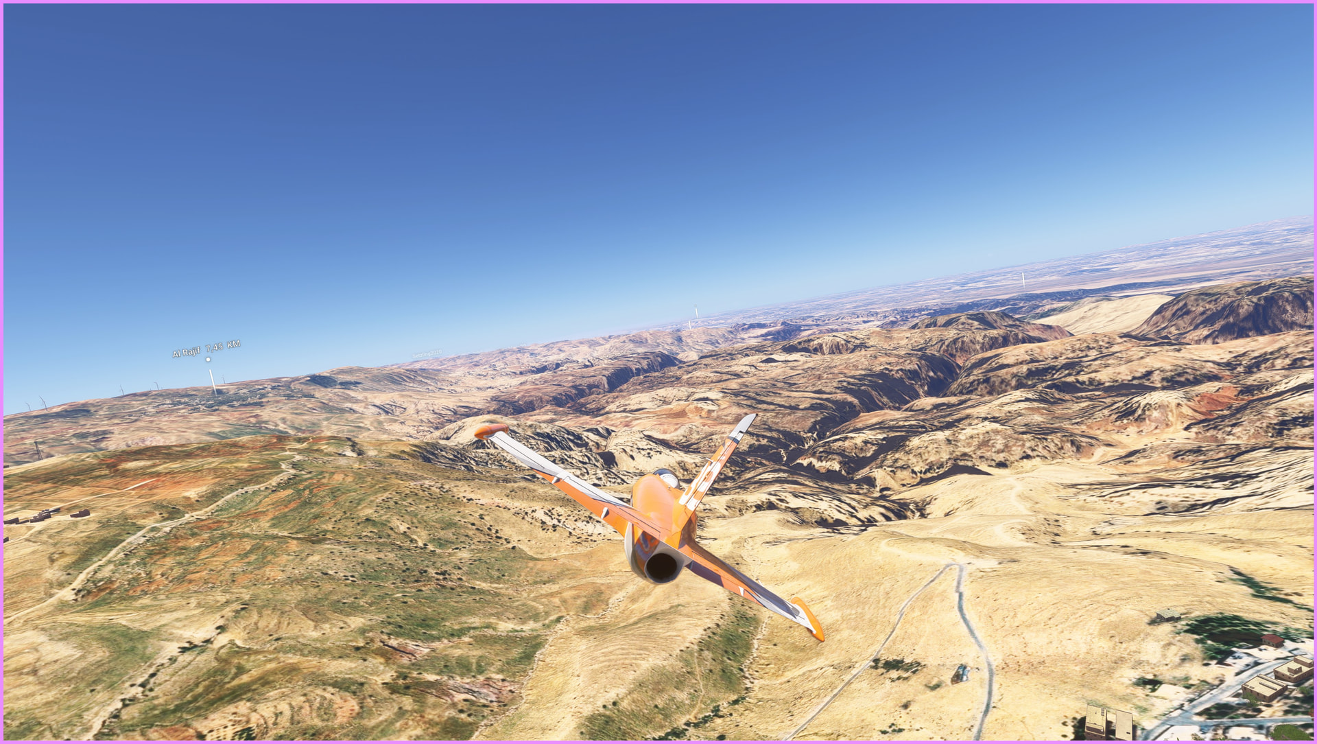
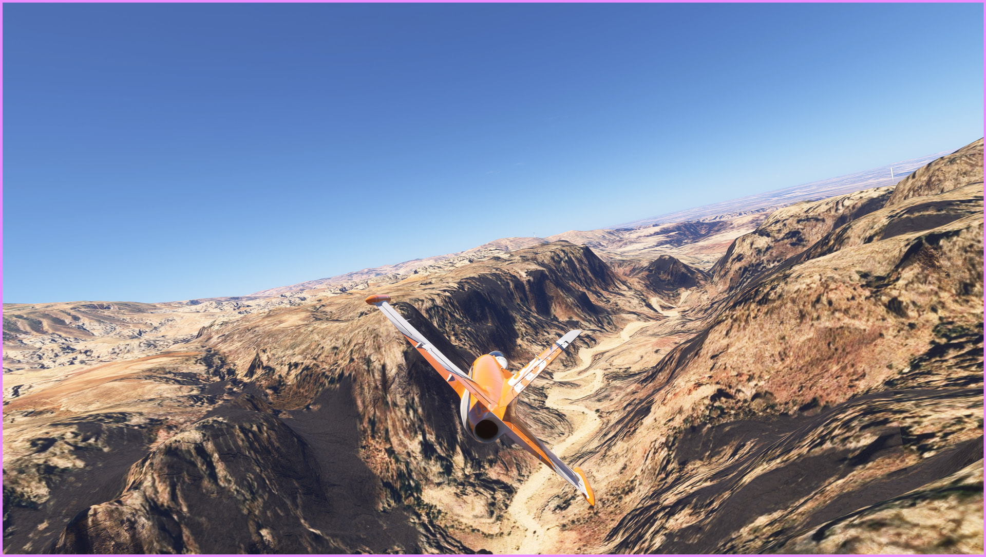
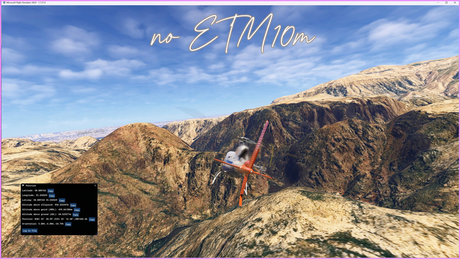
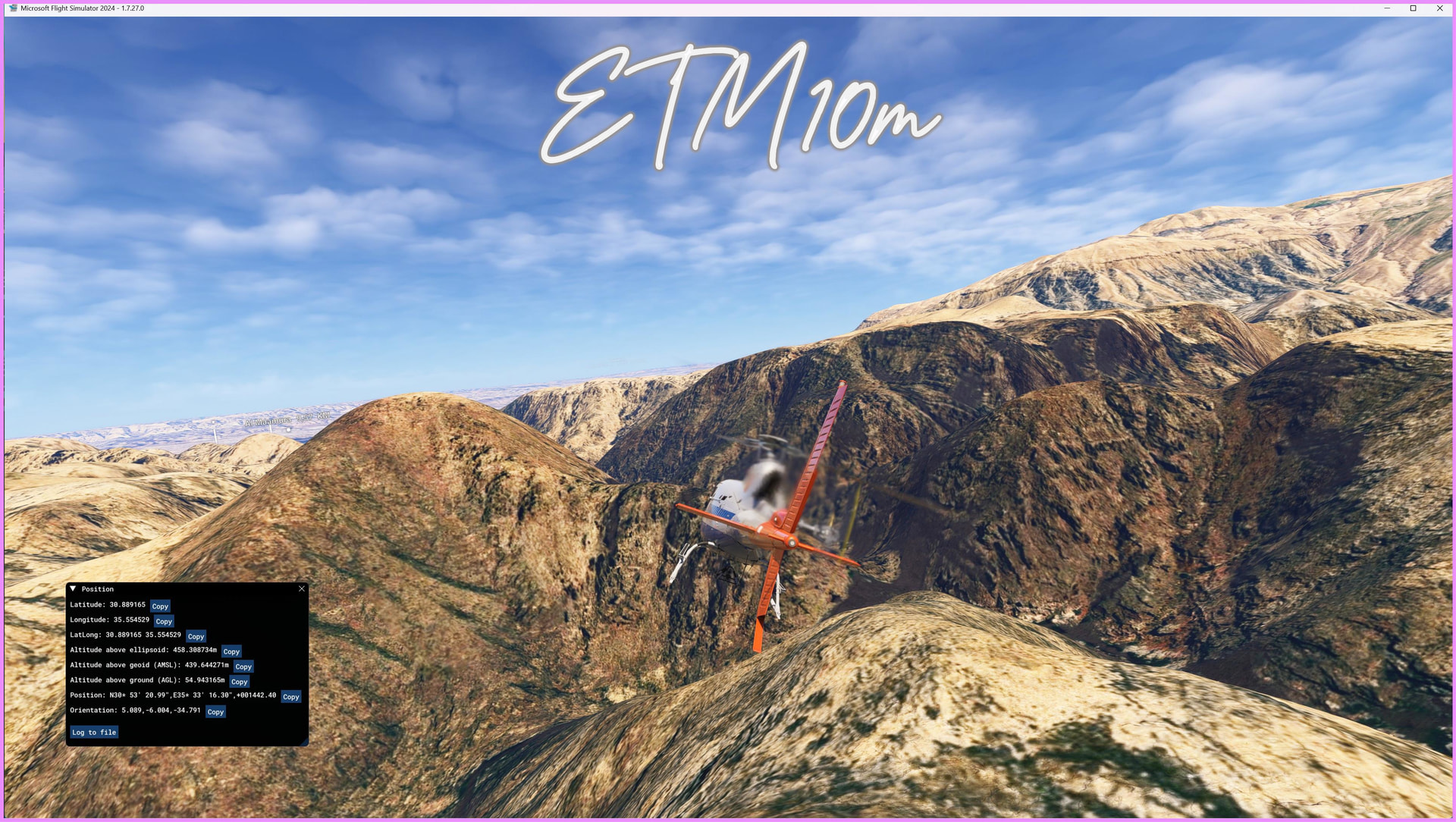
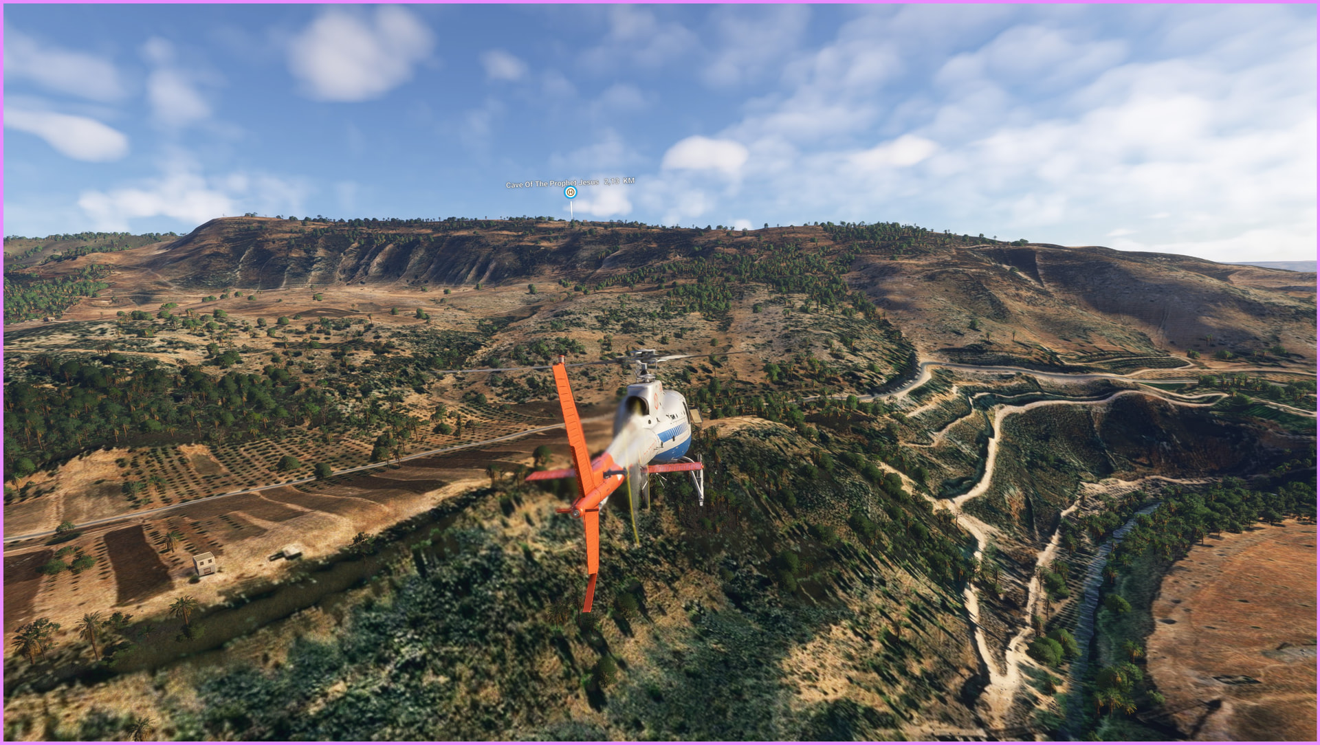
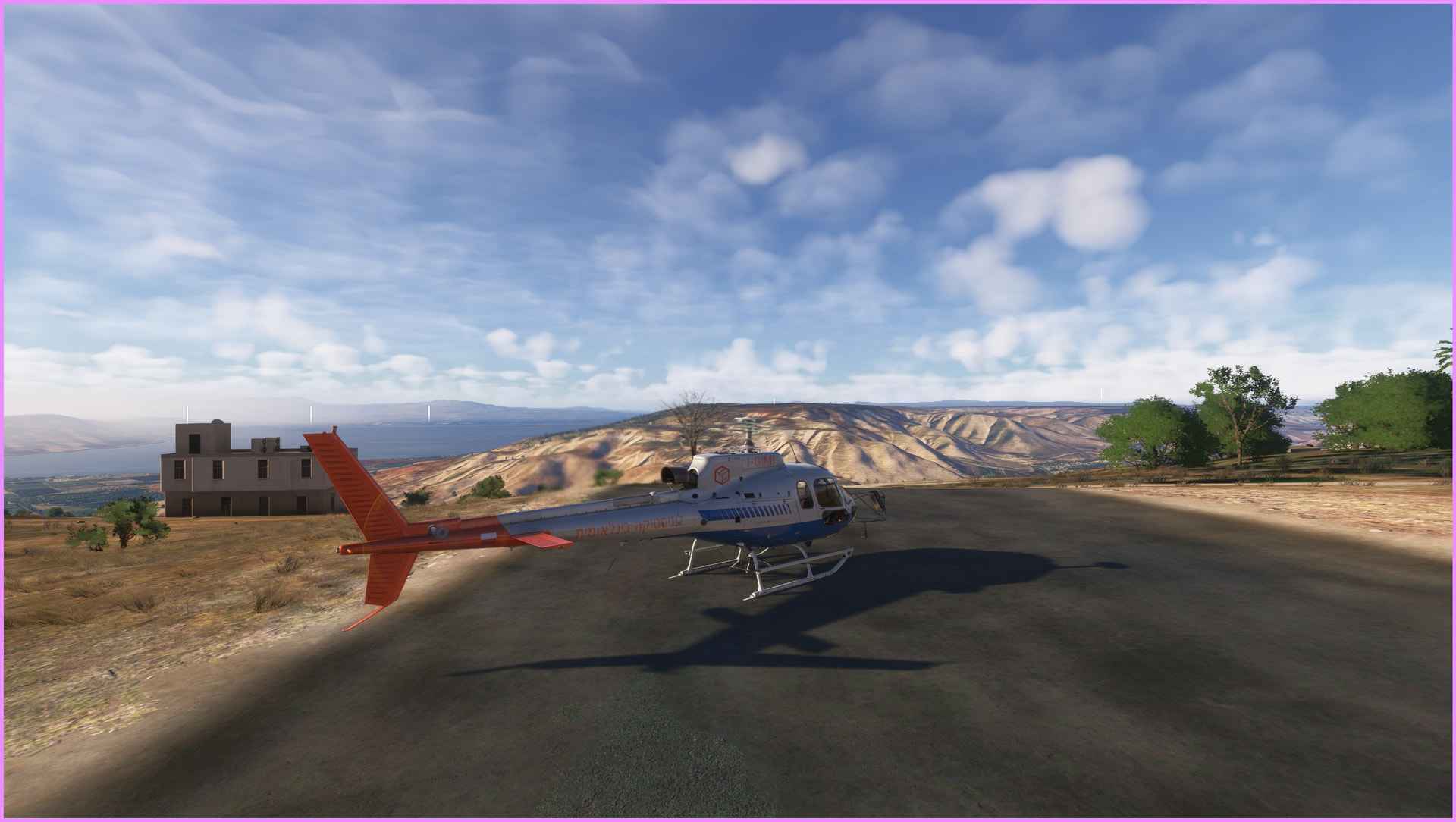
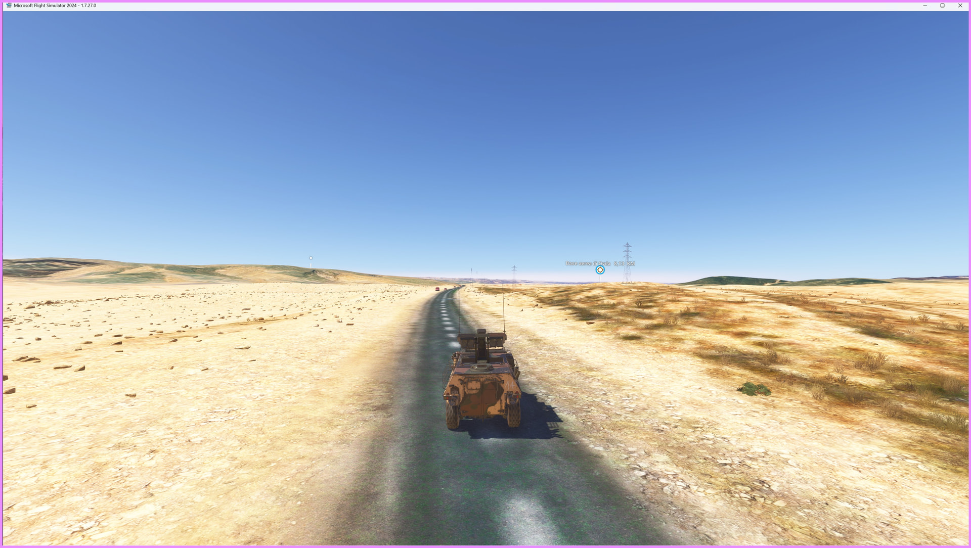
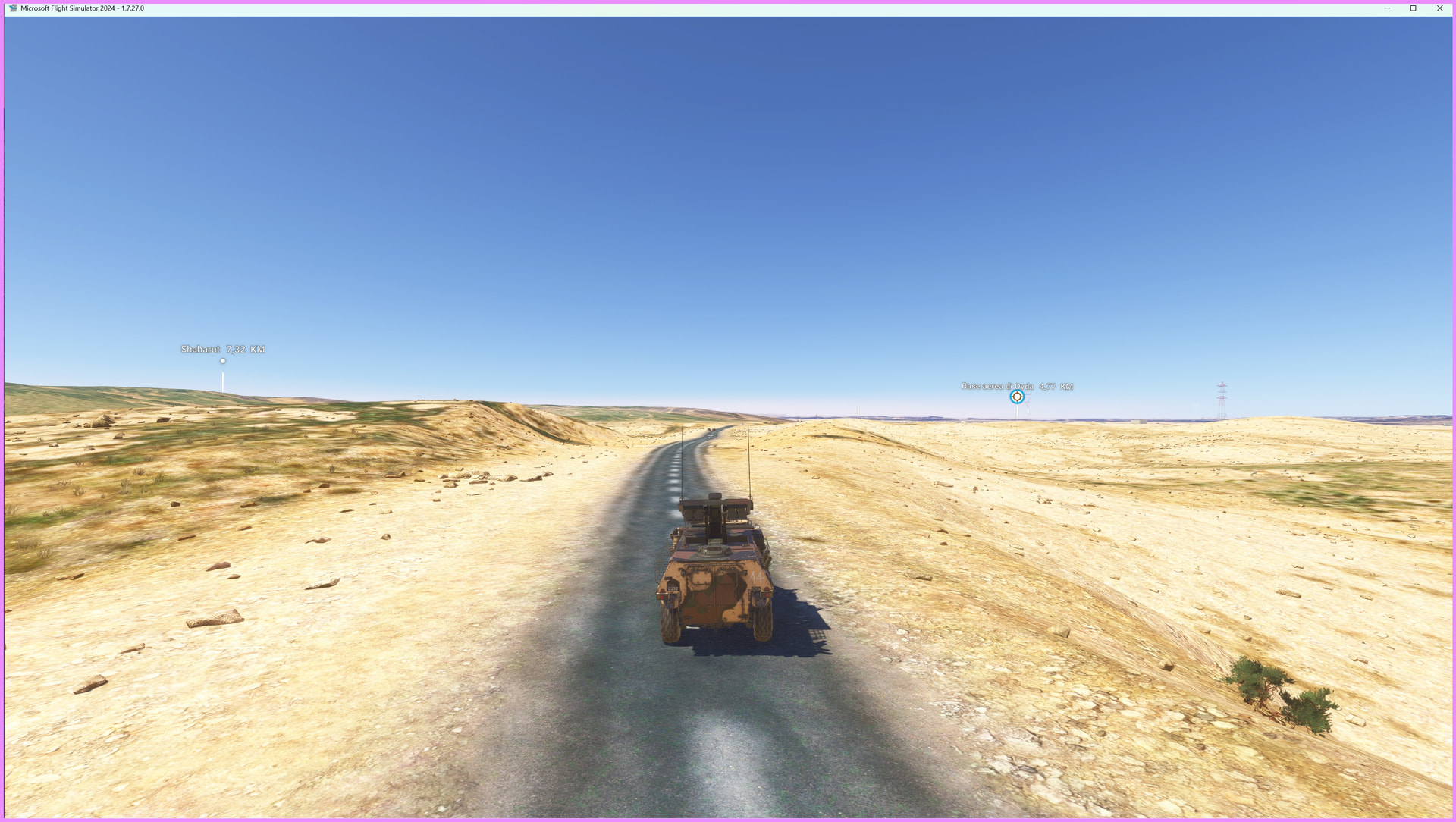
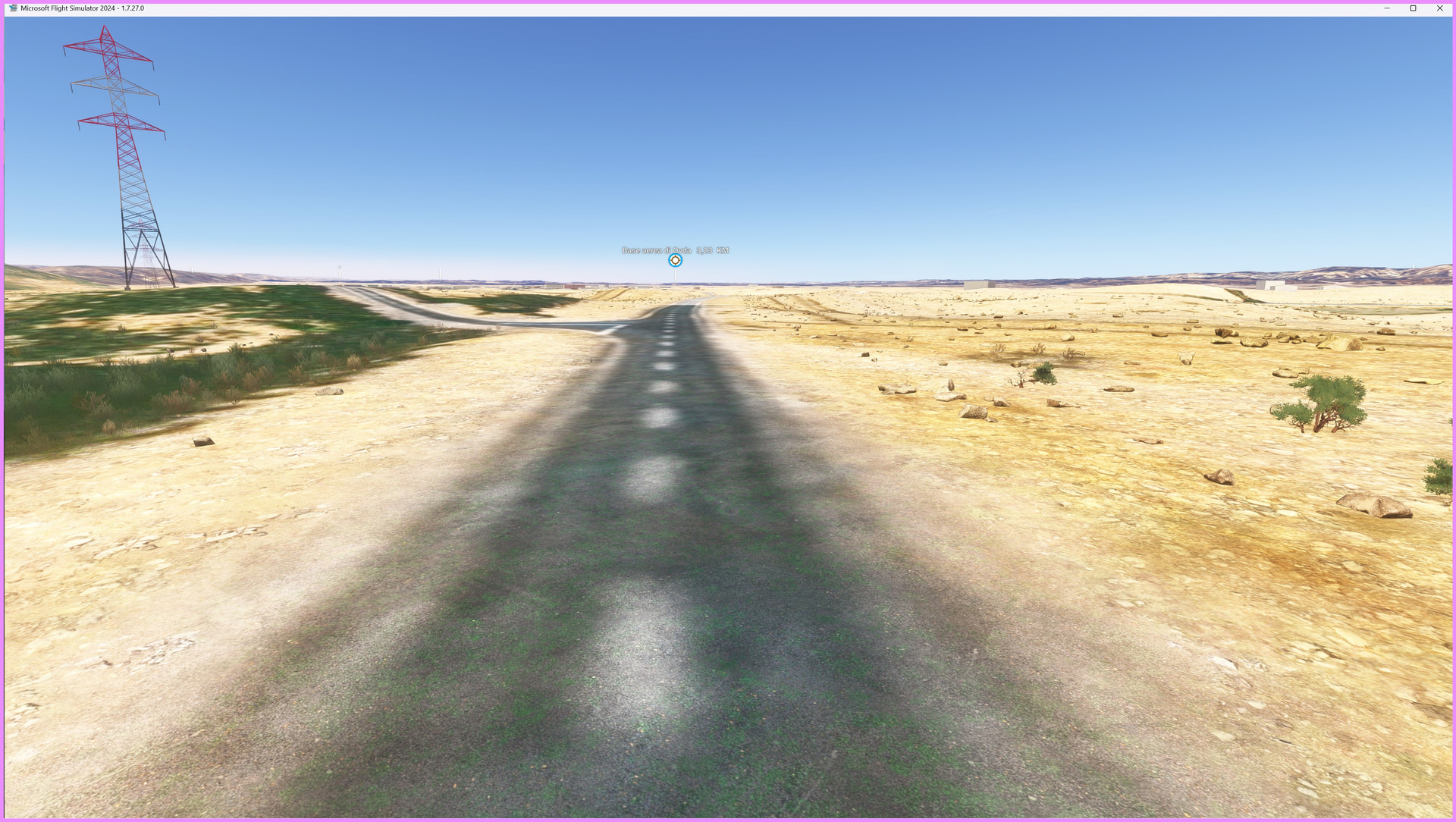
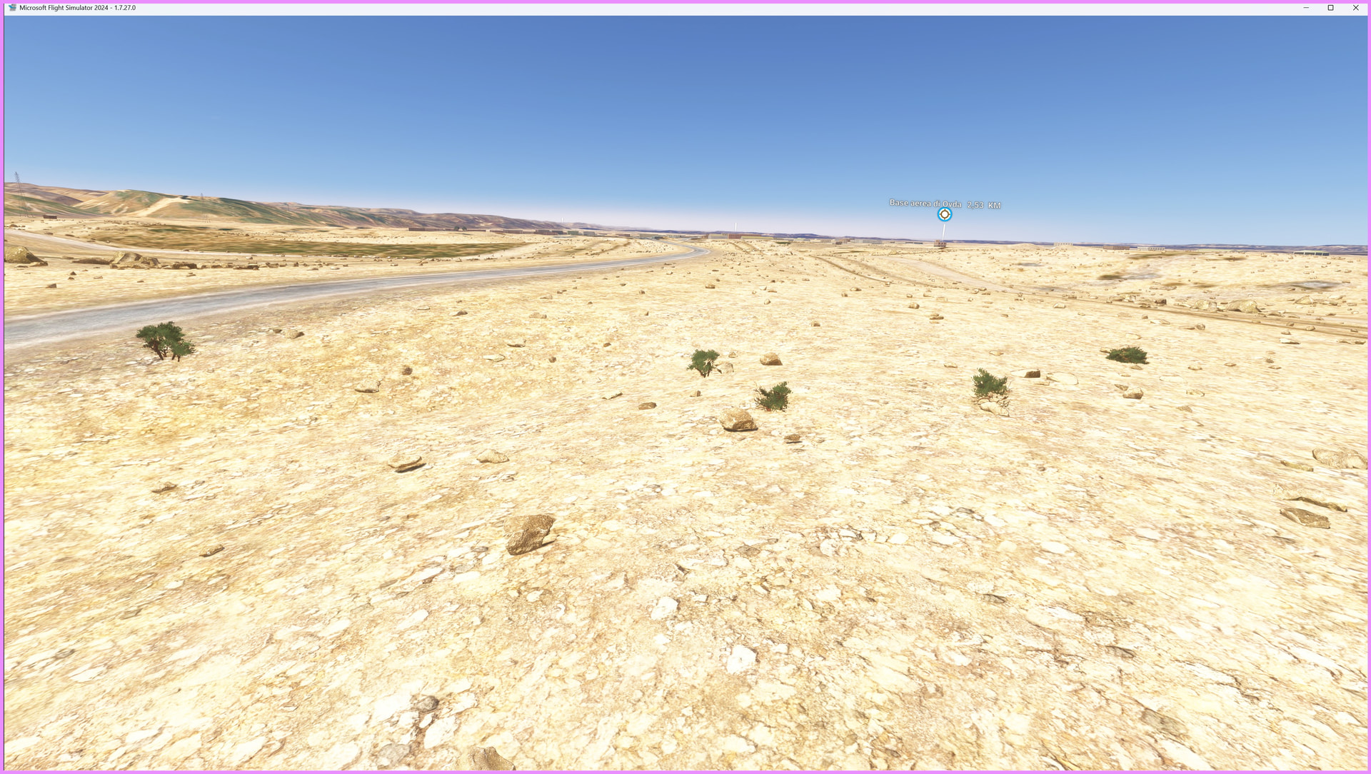
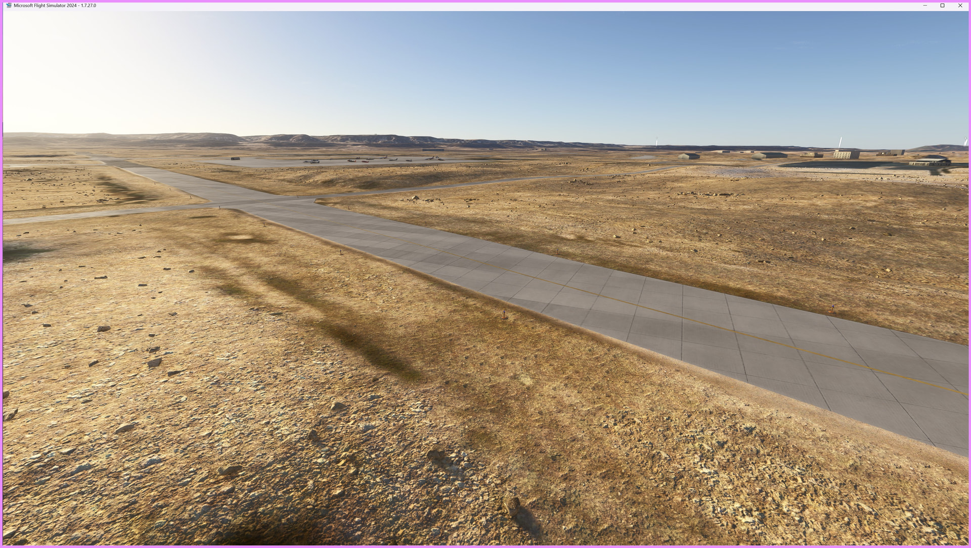
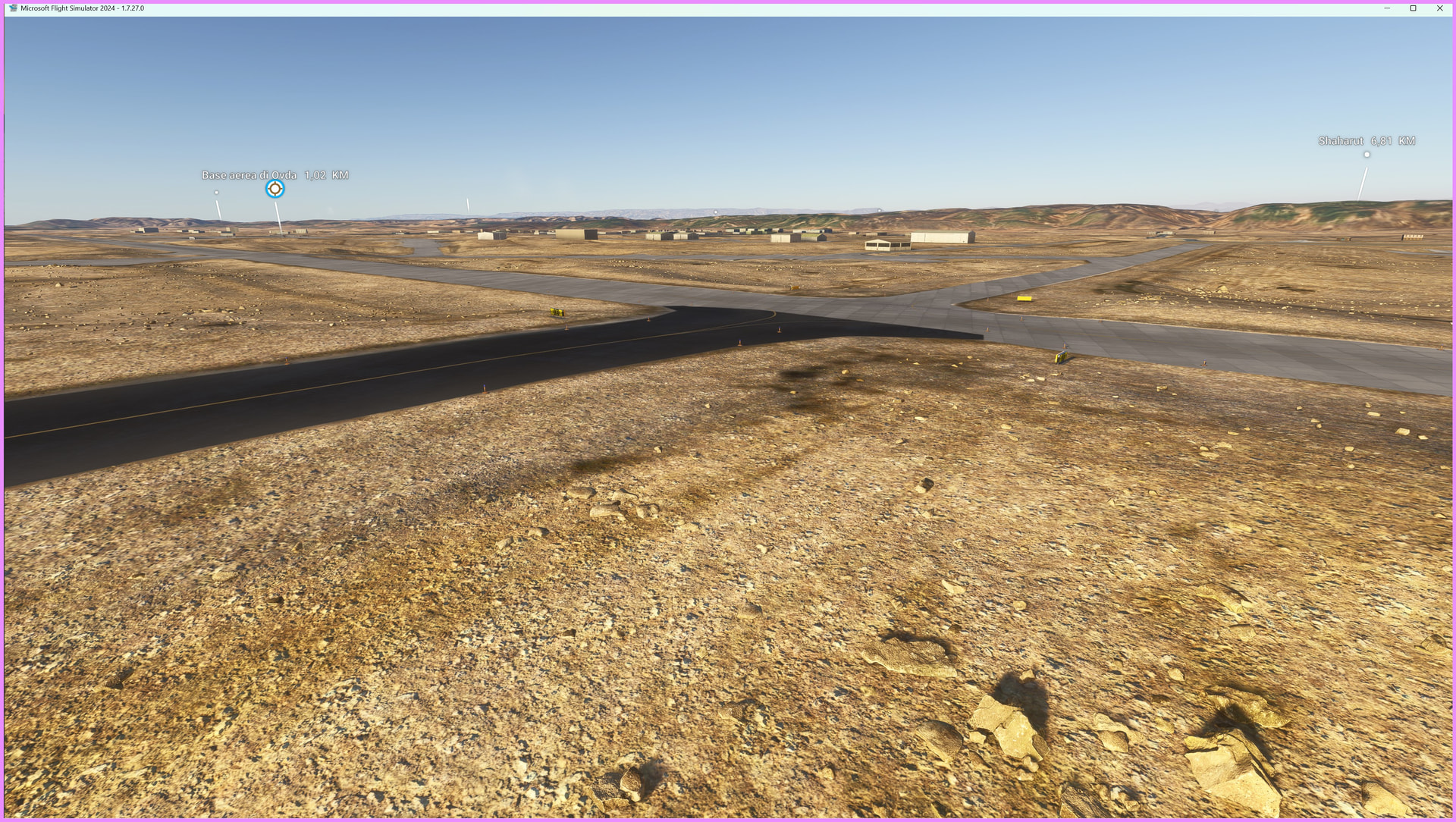
This package delivers a high‑resolution 10‑meter terrain mesh for the entire territory of Israel, offering a dramatic improvement over the default MSFS2024 elevation data. Mountains, valleys, cliffs, wadis, and coastal formations gain accurate shape and depth, providing a far more immersive and realistic VFR experience.
Key Features
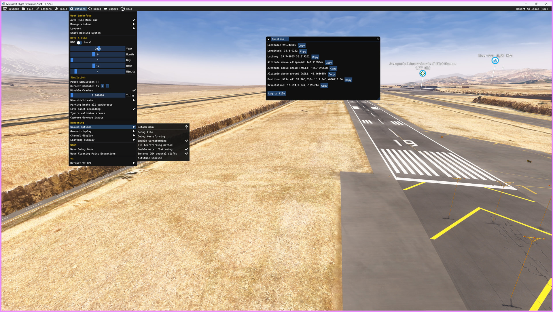
- 10‑meter (1/3 arc‑second) resolution mesh, based on Sentinel‑1 SAR data
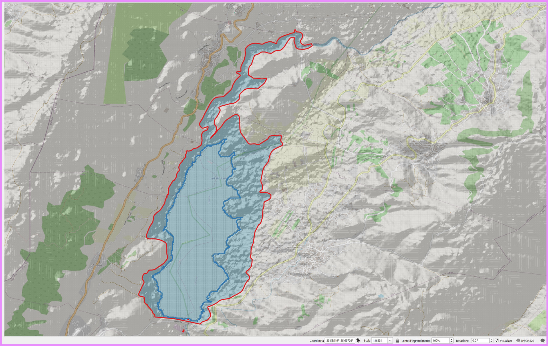
- Custom waterbody adaptation: lakes, shorelines, reservoirs, and coastal flats reshaped to match the new DEM
- Helipad surfaces aligned to the 10‑meter grid
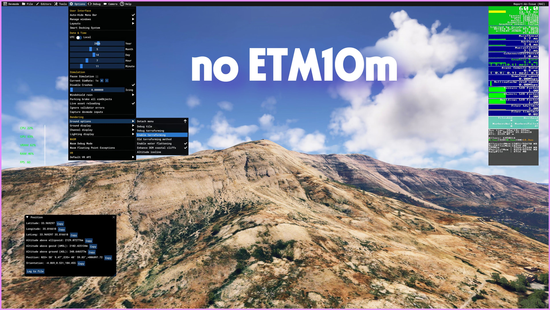
- No LOD optimization required for this type of mesh
- Zero performance impact thanks to efficient data processing
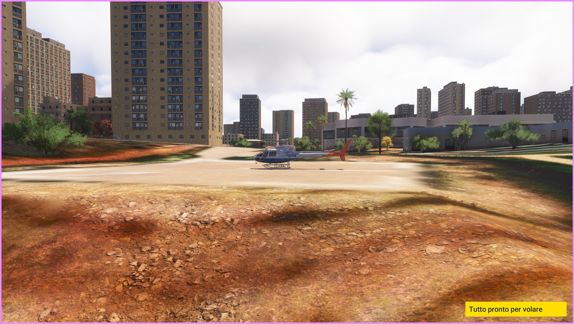
- Optimized for VFR flying — best appreciated below 500 ft AGL
Technology & Data Sources
- DEM/DTM: Sentinel‑1 SAR processed in SNAP13 for maximum accuracy
- Mesh Technology: proprietary, developed in‑house
- Hydrography adaptation: manual integration with MSFS2024 default water data
Why This Mesh
- Significantly enhances the morphology of Israel’s terrain
- Ideal for VFR, helicopter operations, bush flying, and training
- Covers a region rarely improved by third‑party developers
- Created by ItalianCharter Team – Gjanosh61, with over a decade of experience and thousands of downloads across the flight simulation community
Compatibility
- Compatible with: MSFS 2024 only
- Not compatible with MSFS 2020 (different SDK, different terrain system)
- Works with all airport addons, photogrammetry, weather engines, and texture packs
Recommended Usage
For maximum visual fidelity, fly below 500 ft AGL, especially in mountainous and coastal regions.
Platform
Microsoft Flight Simulator 2024 – SU5 or later
(Not compatible with MSFS2020 — different SDK and terrain system)
Recommended Hardware
These are not minimum requirements, but the configuration with which the product was developed and tested:
CPU: Intel Core i7-10700K or equivalent
RAM: 24 GB
GPU: NVIDIA RTX 4070 with 12 GB VRAM
The mesh works properly even with lower-end hardware: MSFS2024 handles terrain streaming much more efficiently than previous versions.