Scenic flight from Oslo to Ålesund - with a surprise (edit: continued north...)

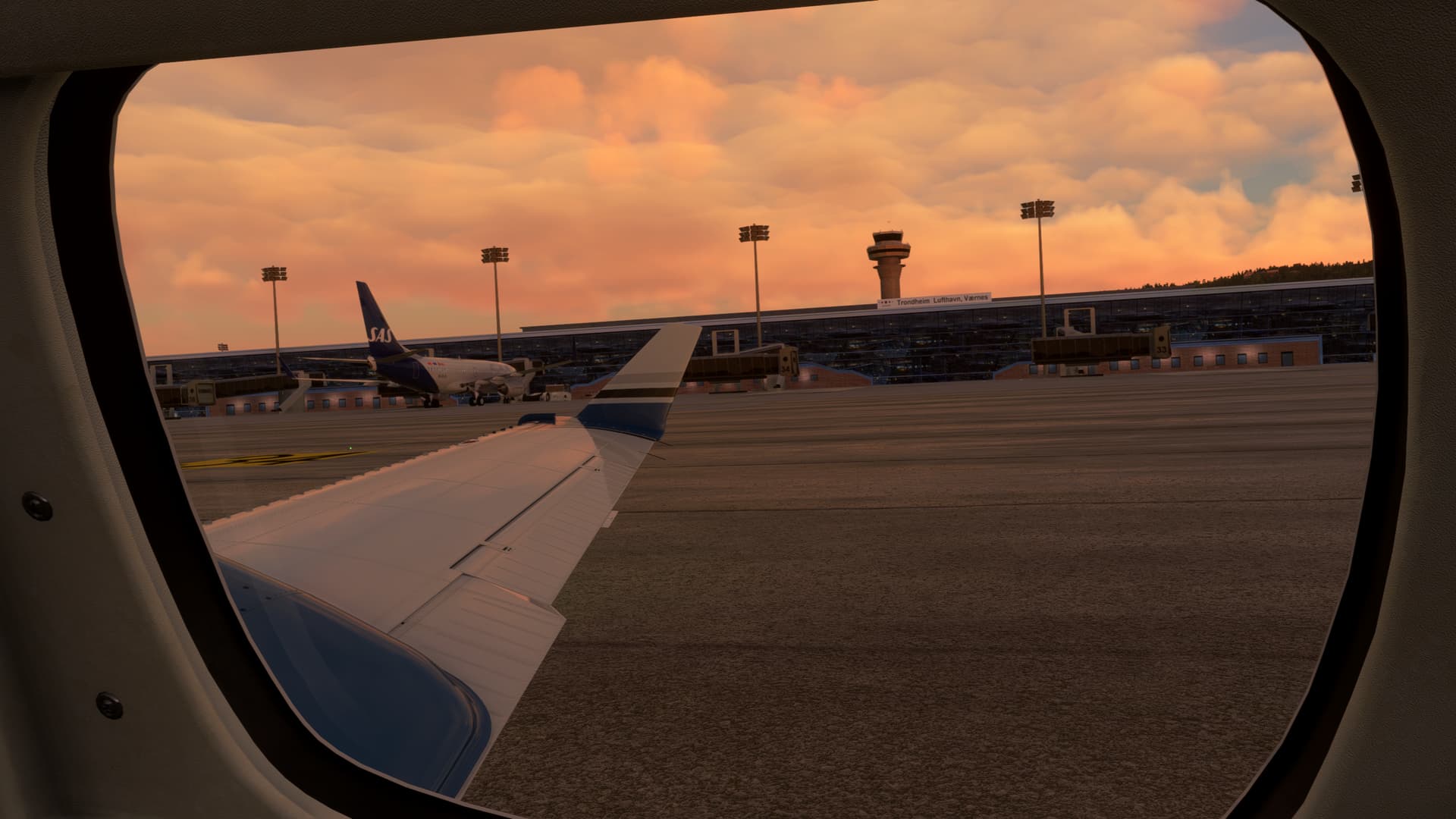
I just had one of the most memorable flights I’ve done for a while. Memorable for the scenery – but also for an unexpected challenge that arose during the flight.

I’m really enjoying the recently released Piston Duke, and this time of year, I like flying in Norway because it stays light so long. I usually fly in the evenings, so this gives me a chance to fly in real time and still see daylight.

I planned a flight from Oslo ENGM to Ålesund ENAL, about one hour in the Duke. Sunset in Oslo is now after 10 pm, and sunset in Ålesund is almost 11 pm. I planned to leave Oslo around 9:30 pm, so the whole flight would be comfortably in daylight.

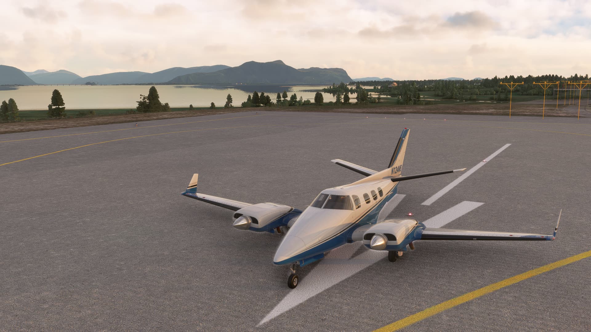
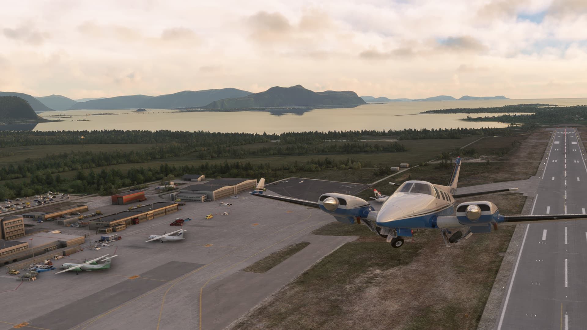
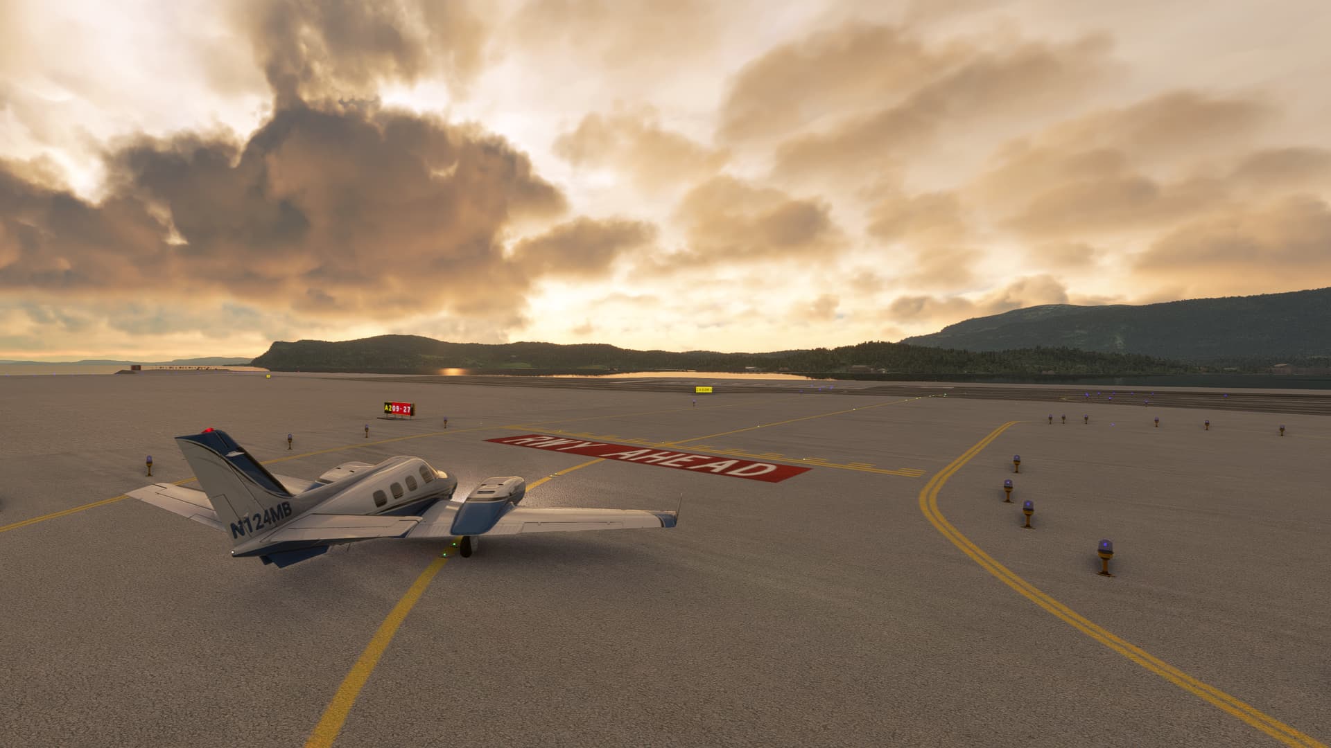
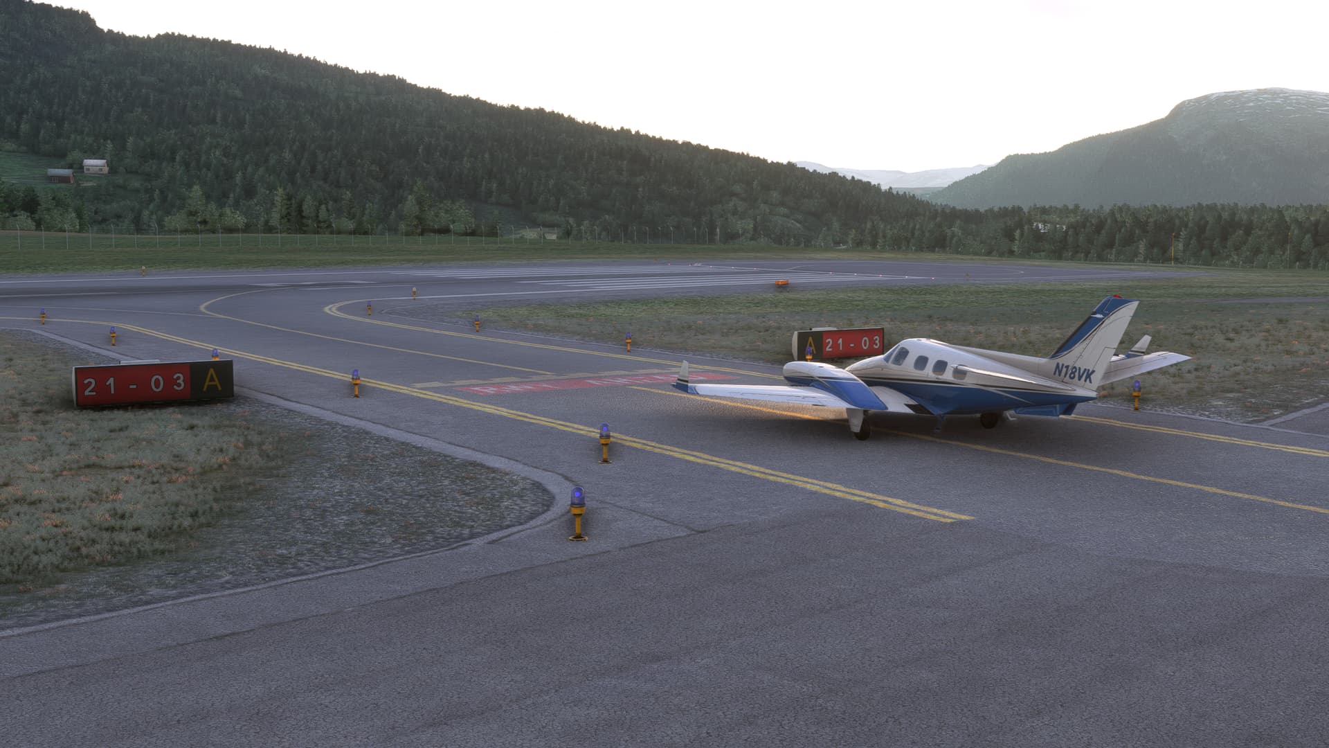
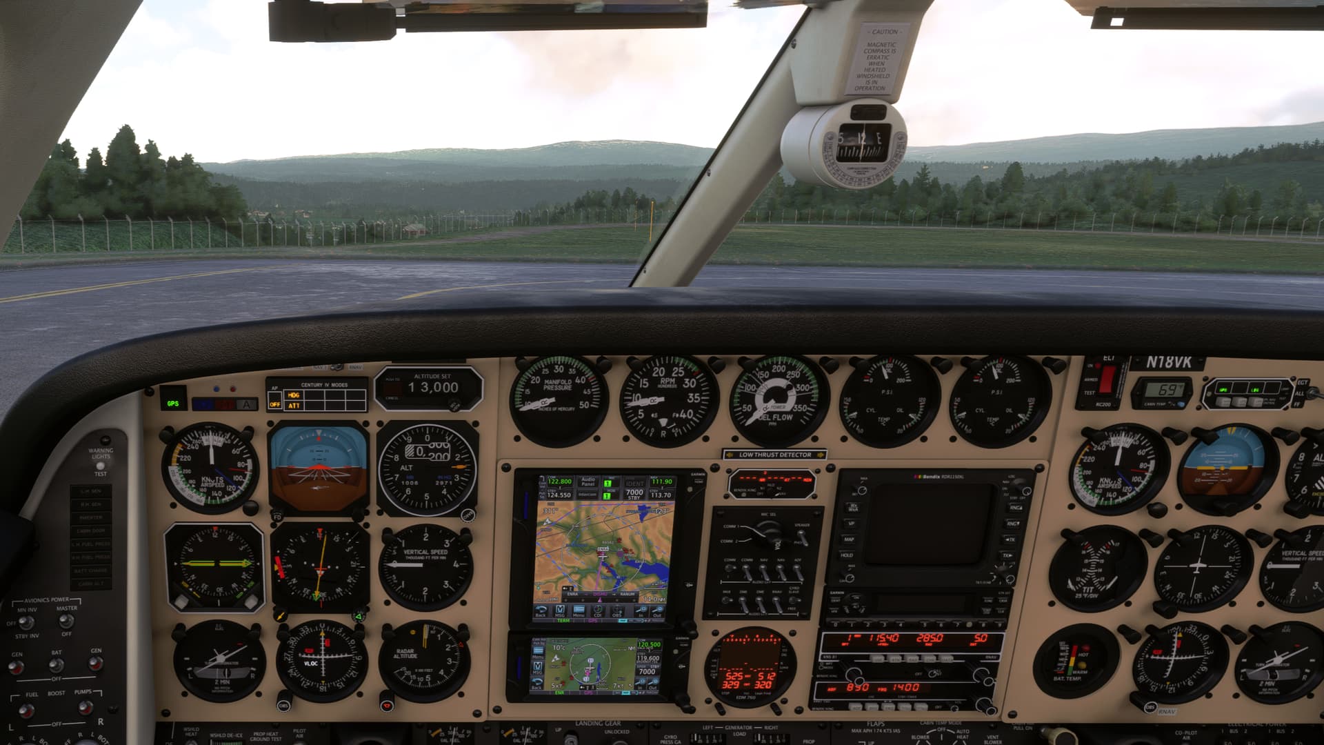
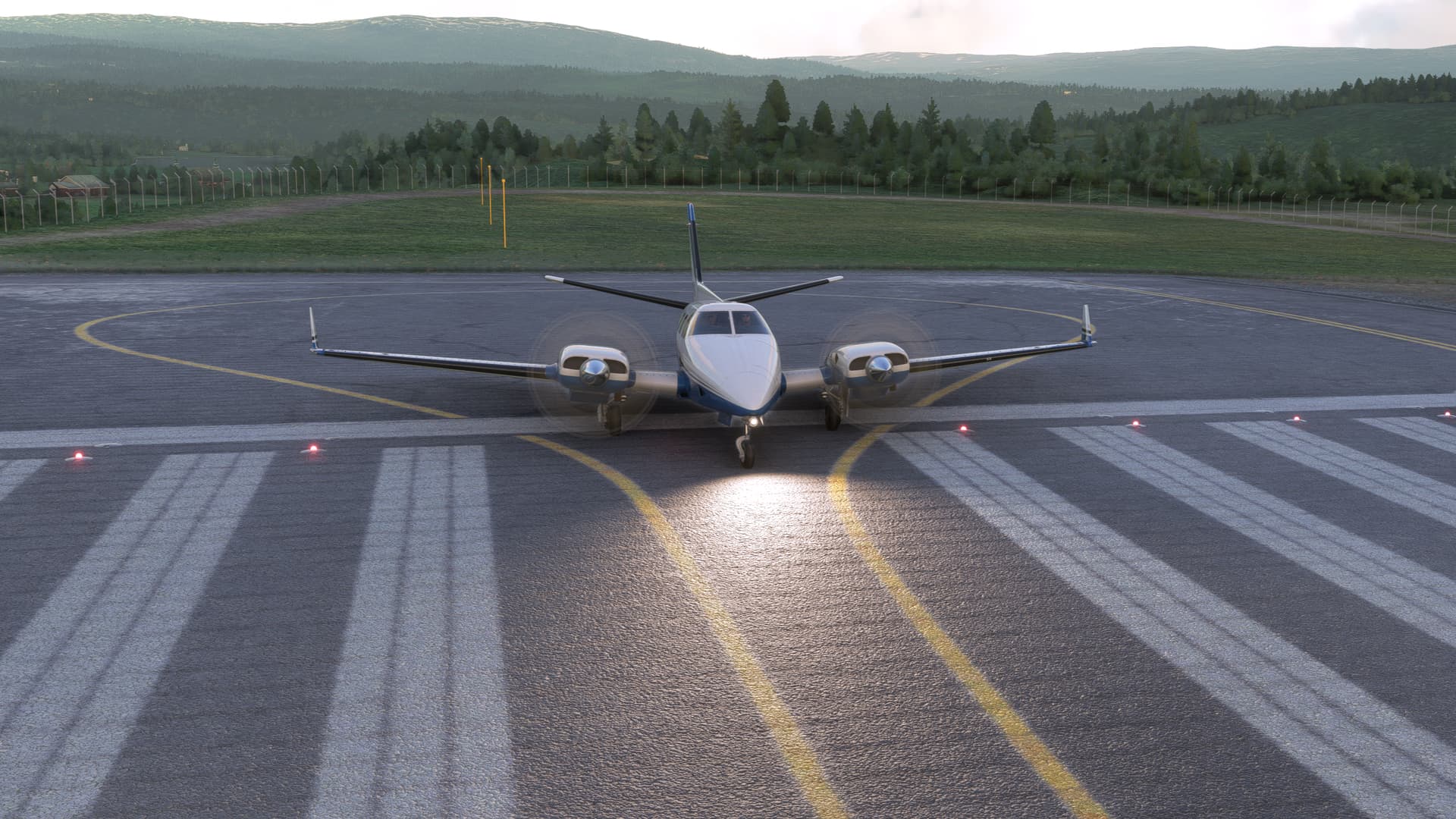
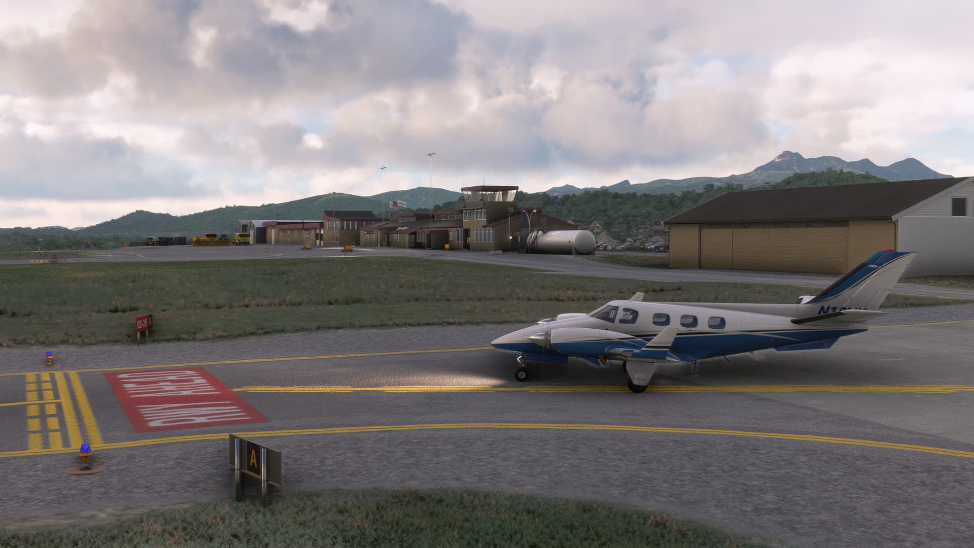
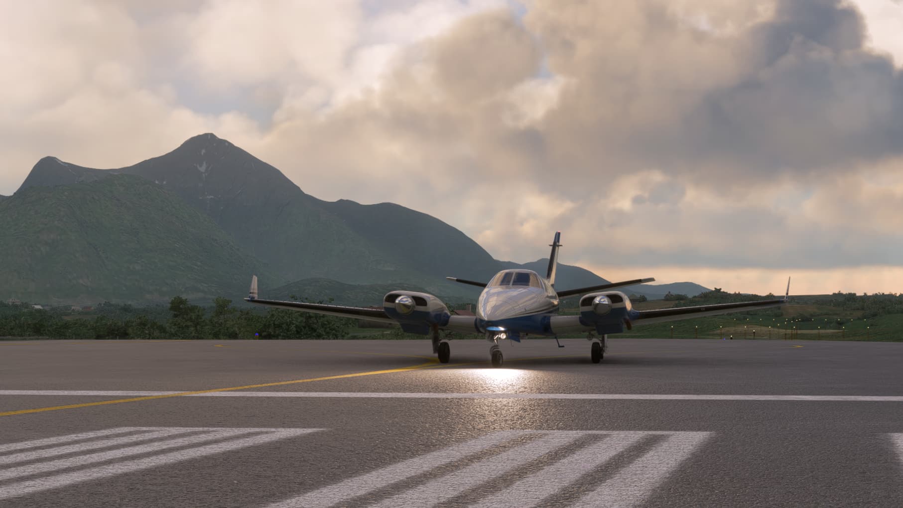
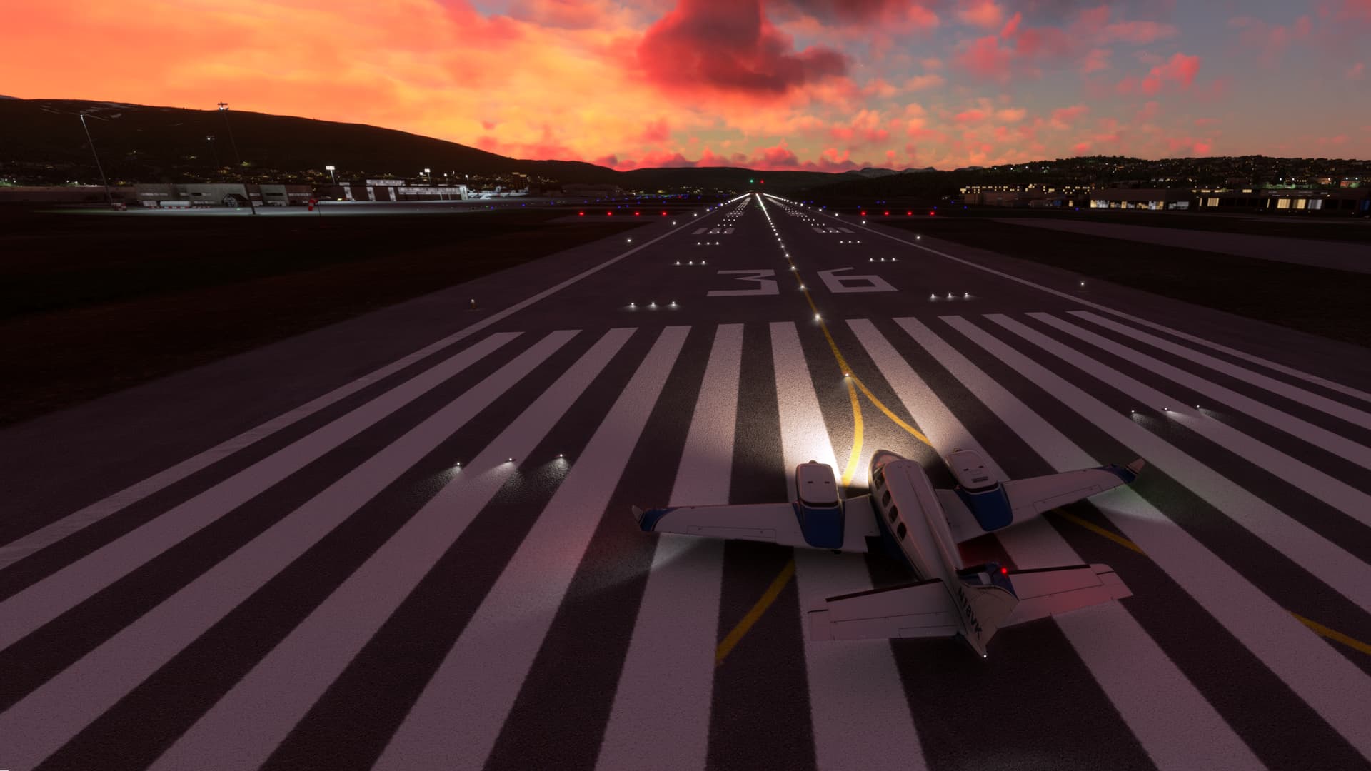
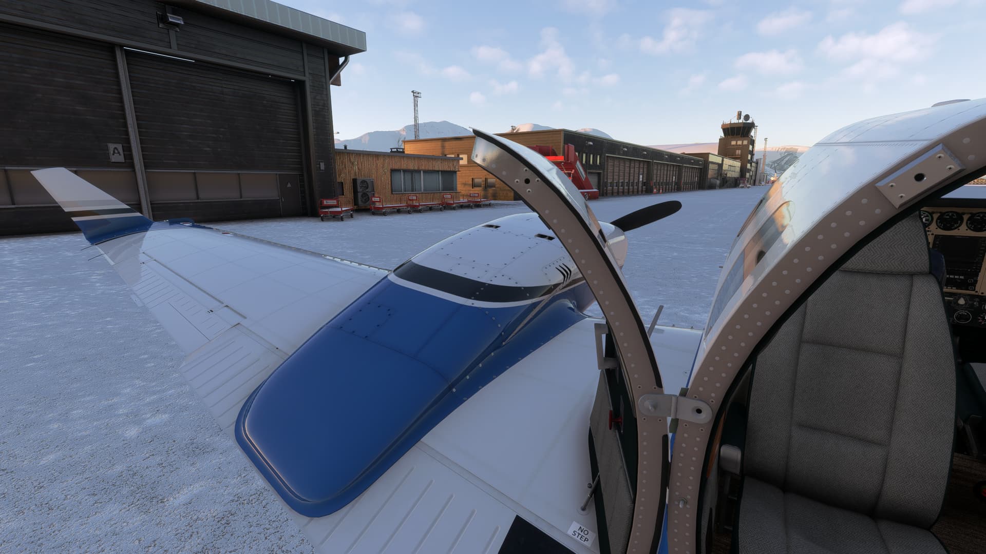
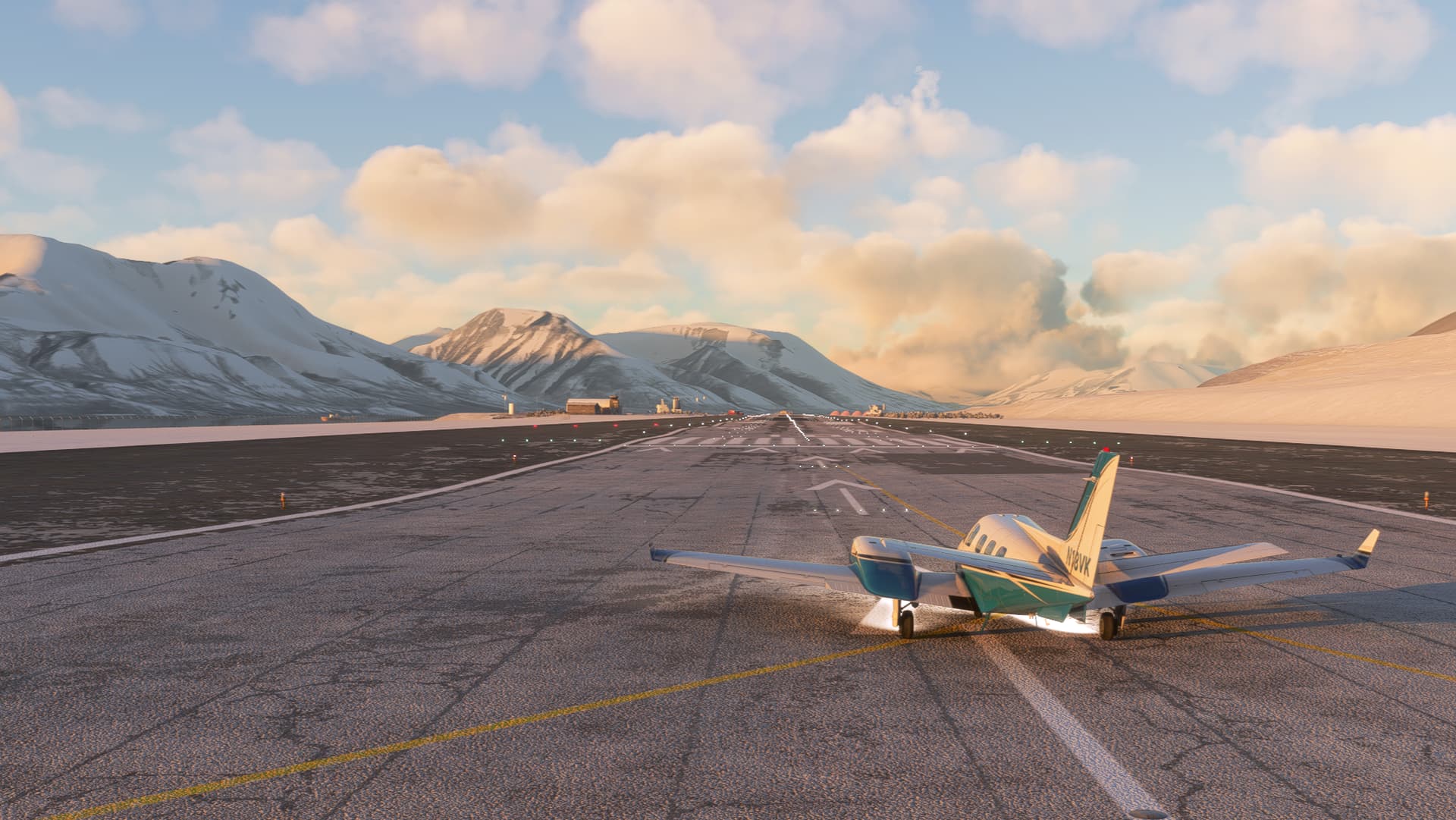
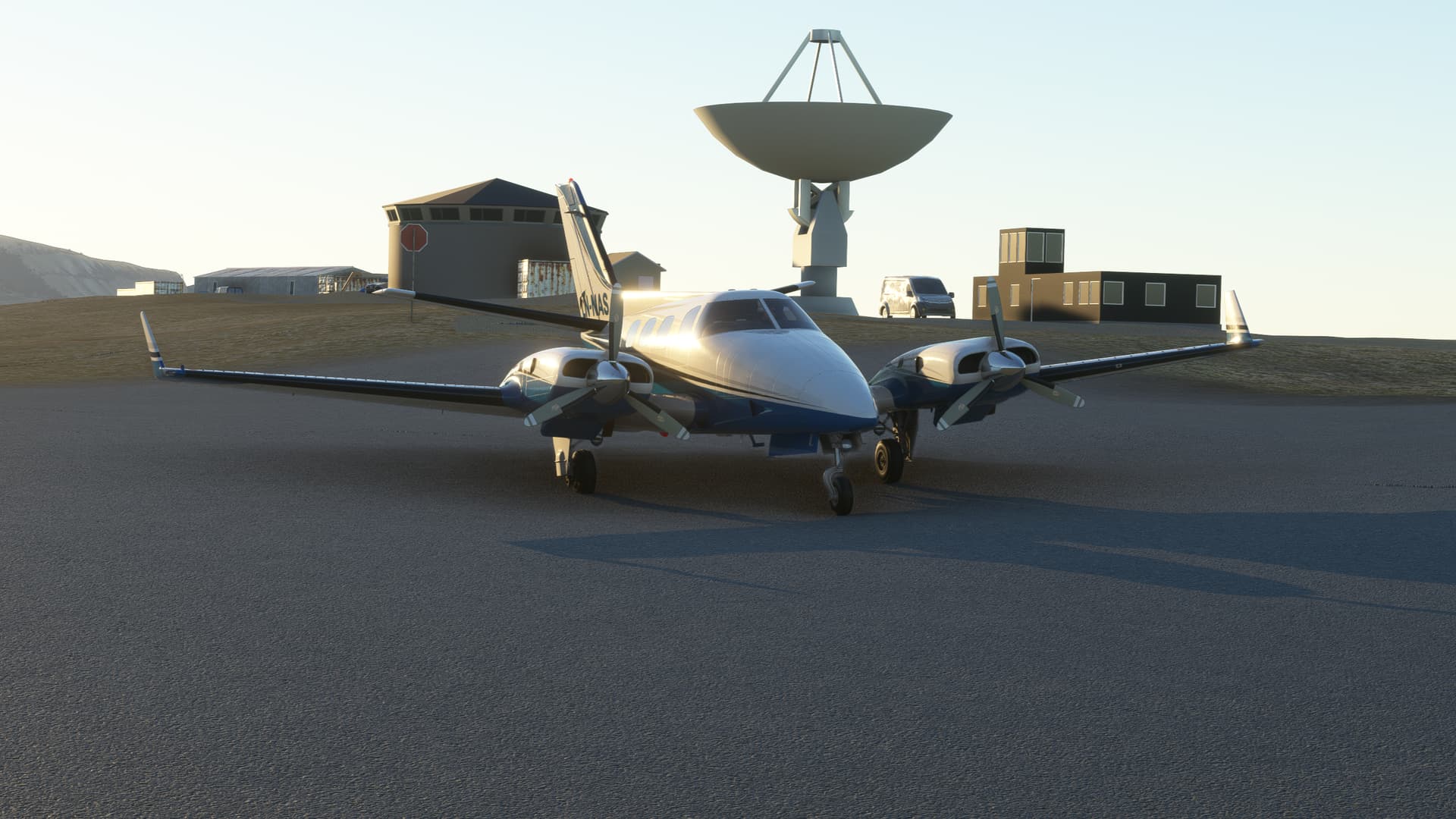
The weather looked to be great – just some light clouds, so I was expecting great views. After firing up the two big Lycomings, I taxied out from the GA apron to runway 19R and took off.

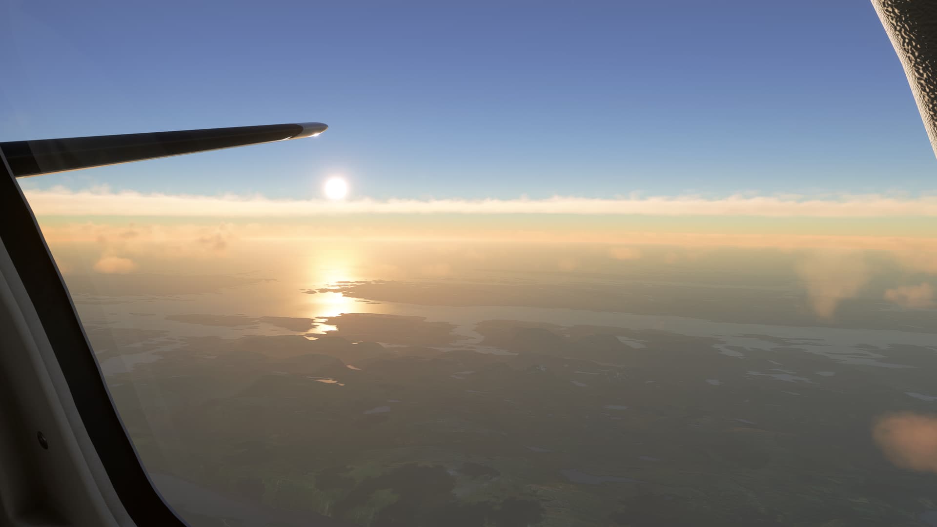
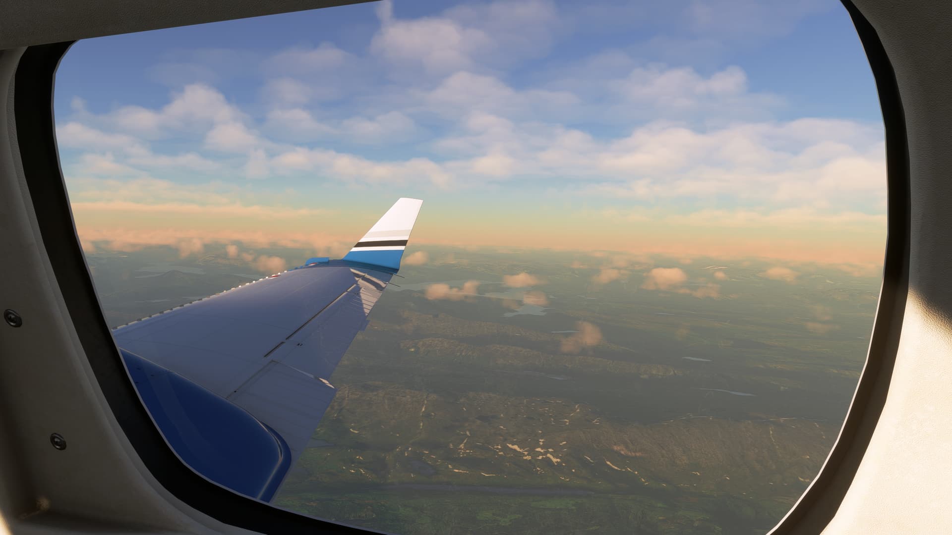
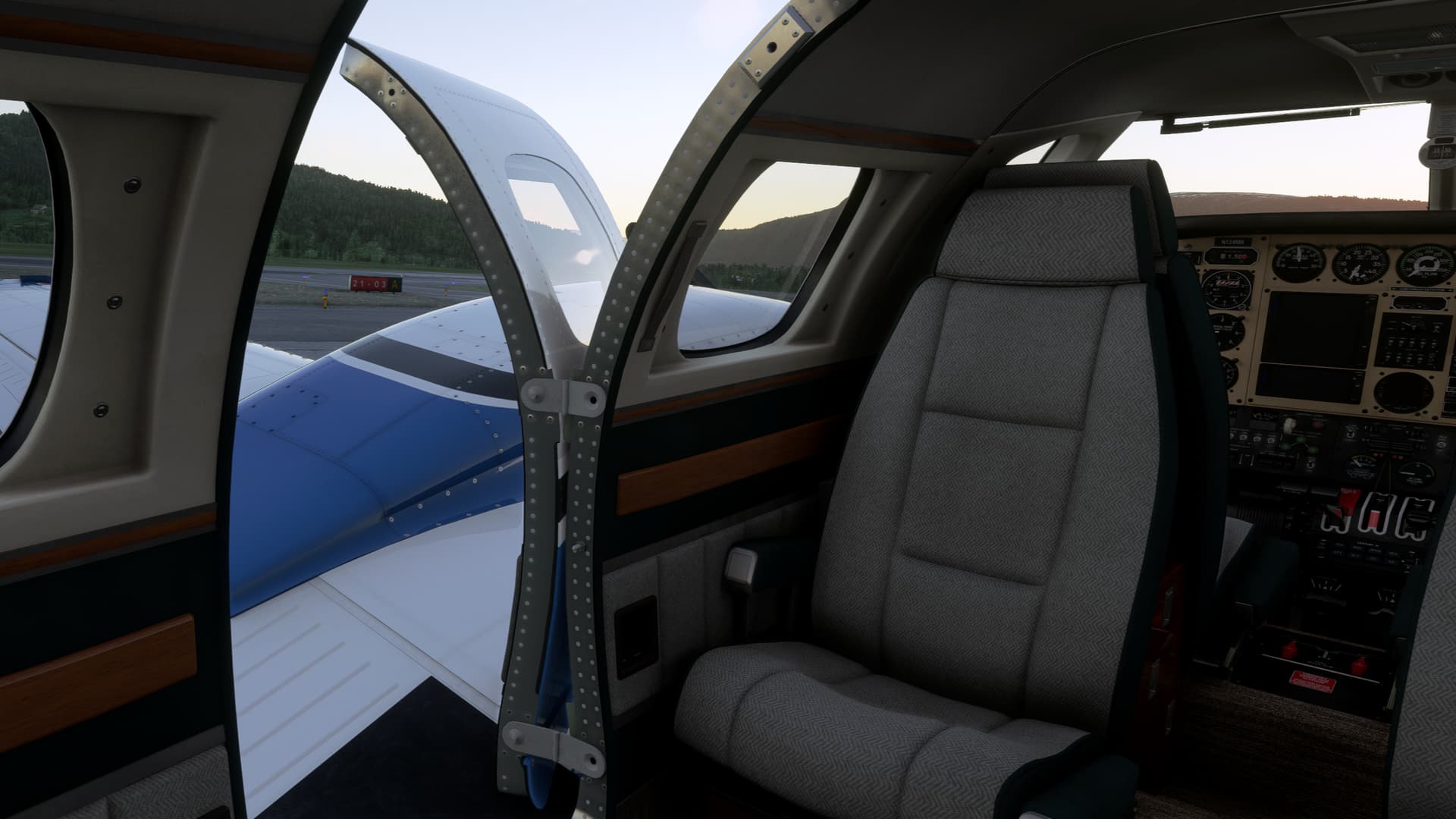
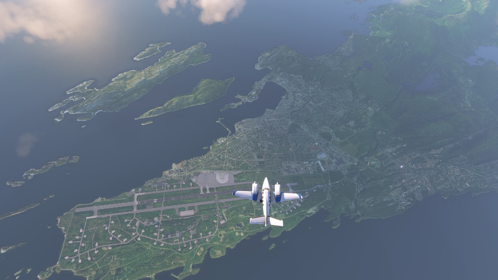
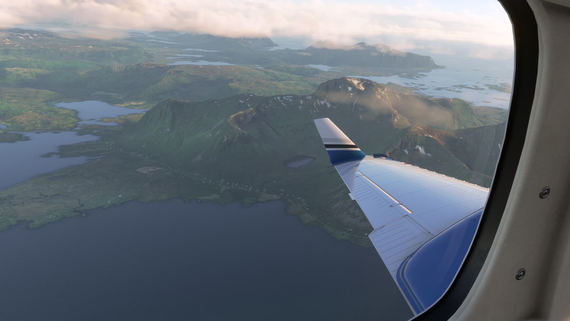
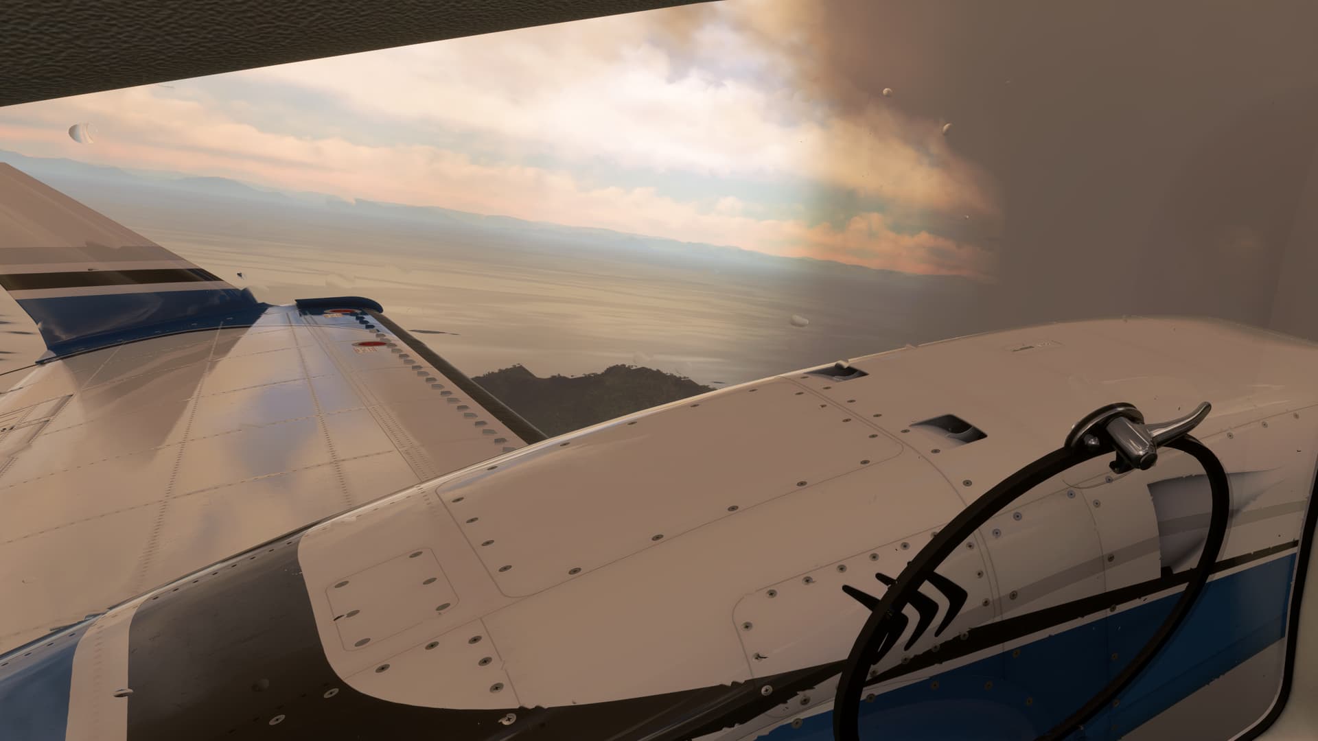
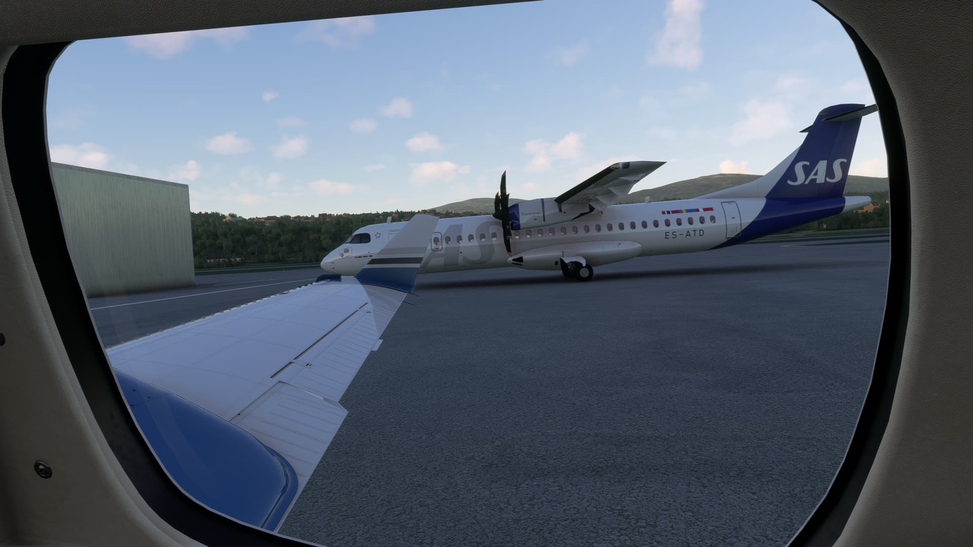
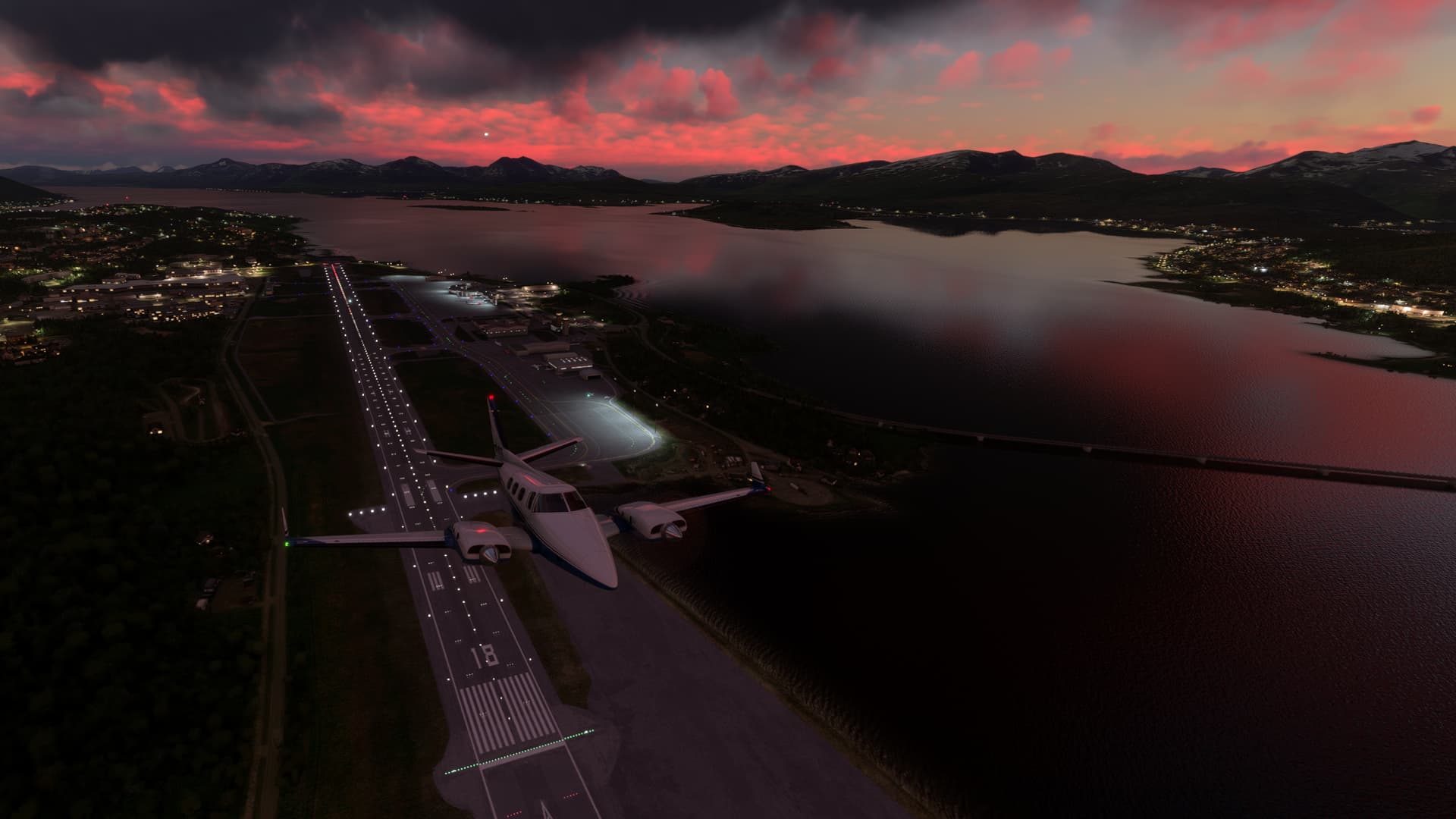
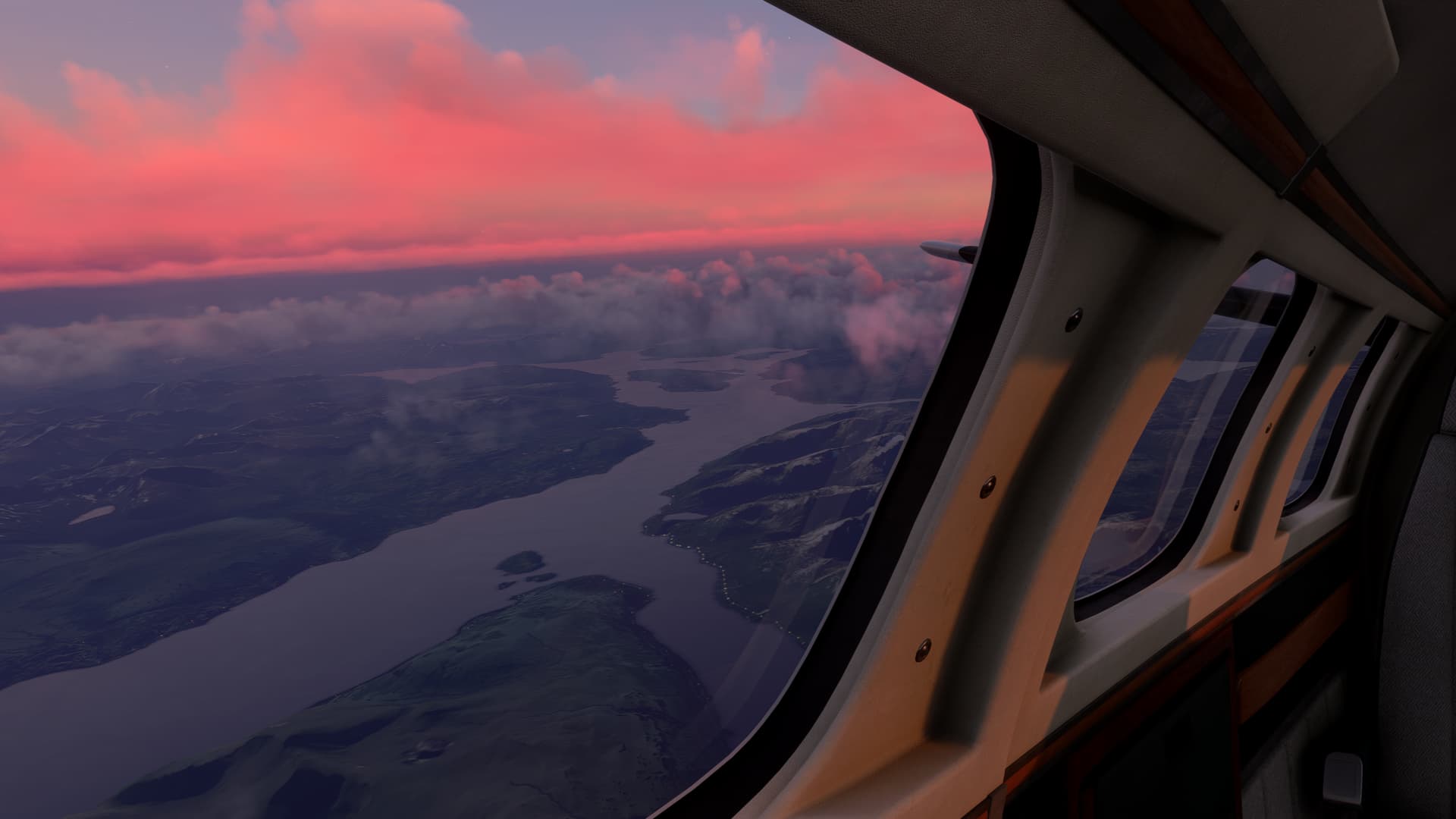
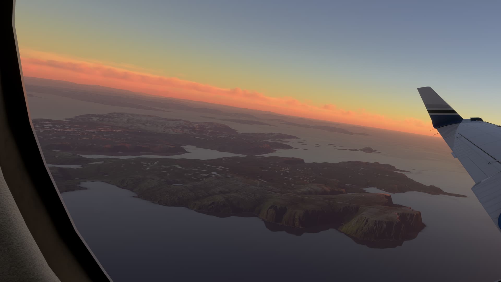
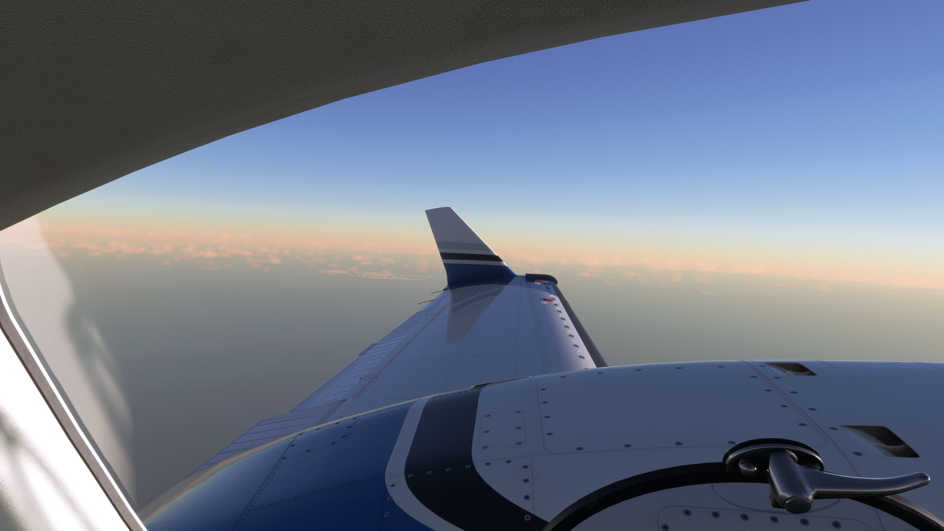
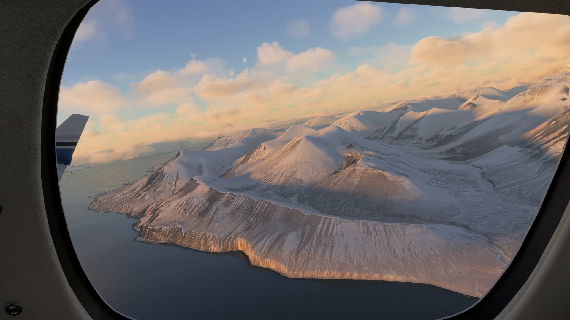
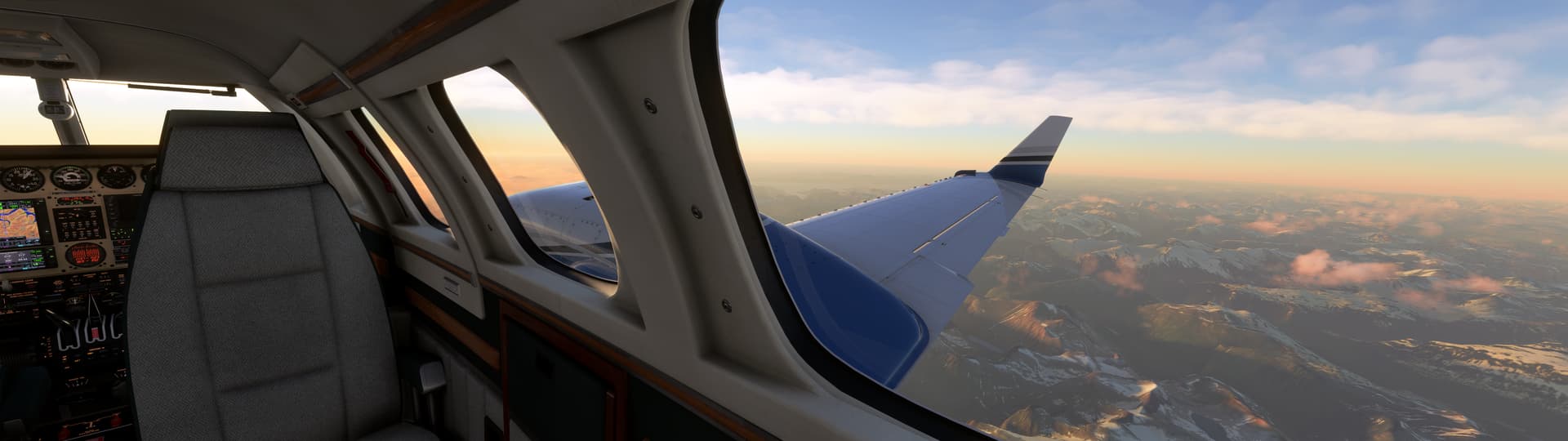
Here’s the view from the passenger cabin on climbout:

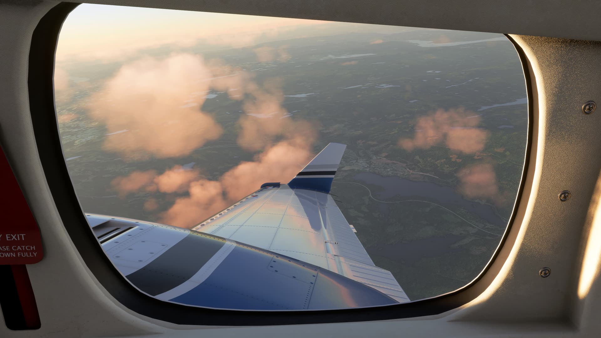
I’d love to be in that seat for real some time – one row further forward would be even better of course.

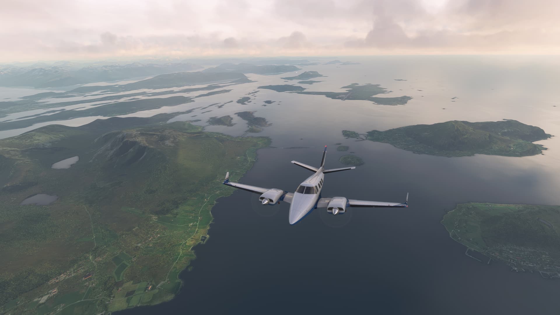
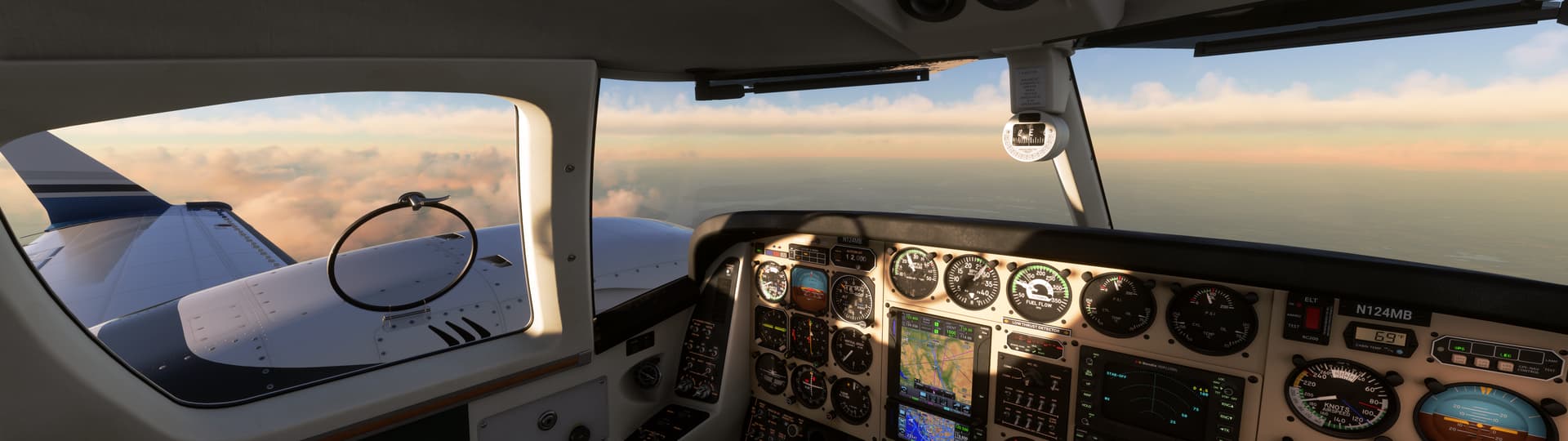
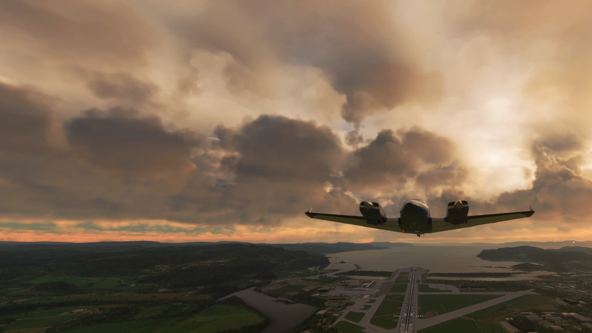
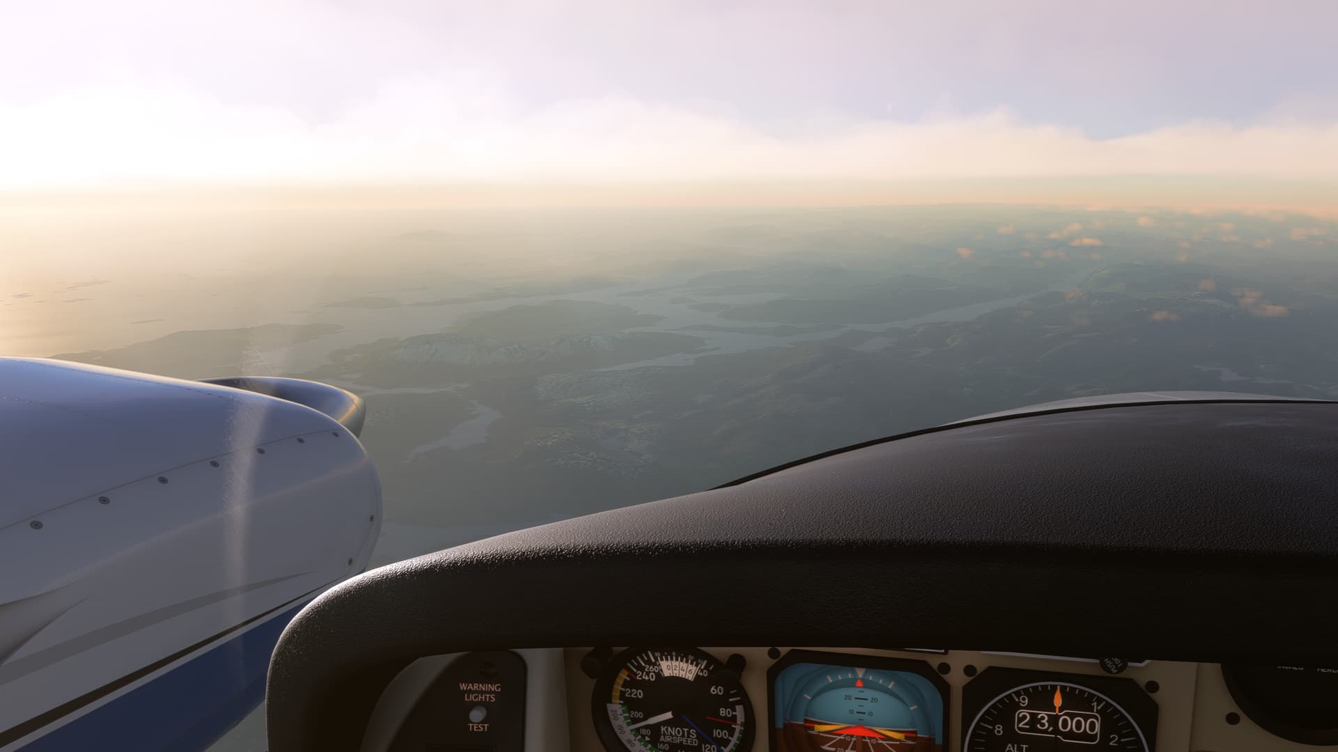
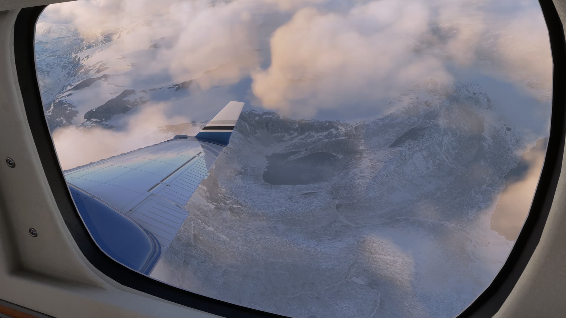
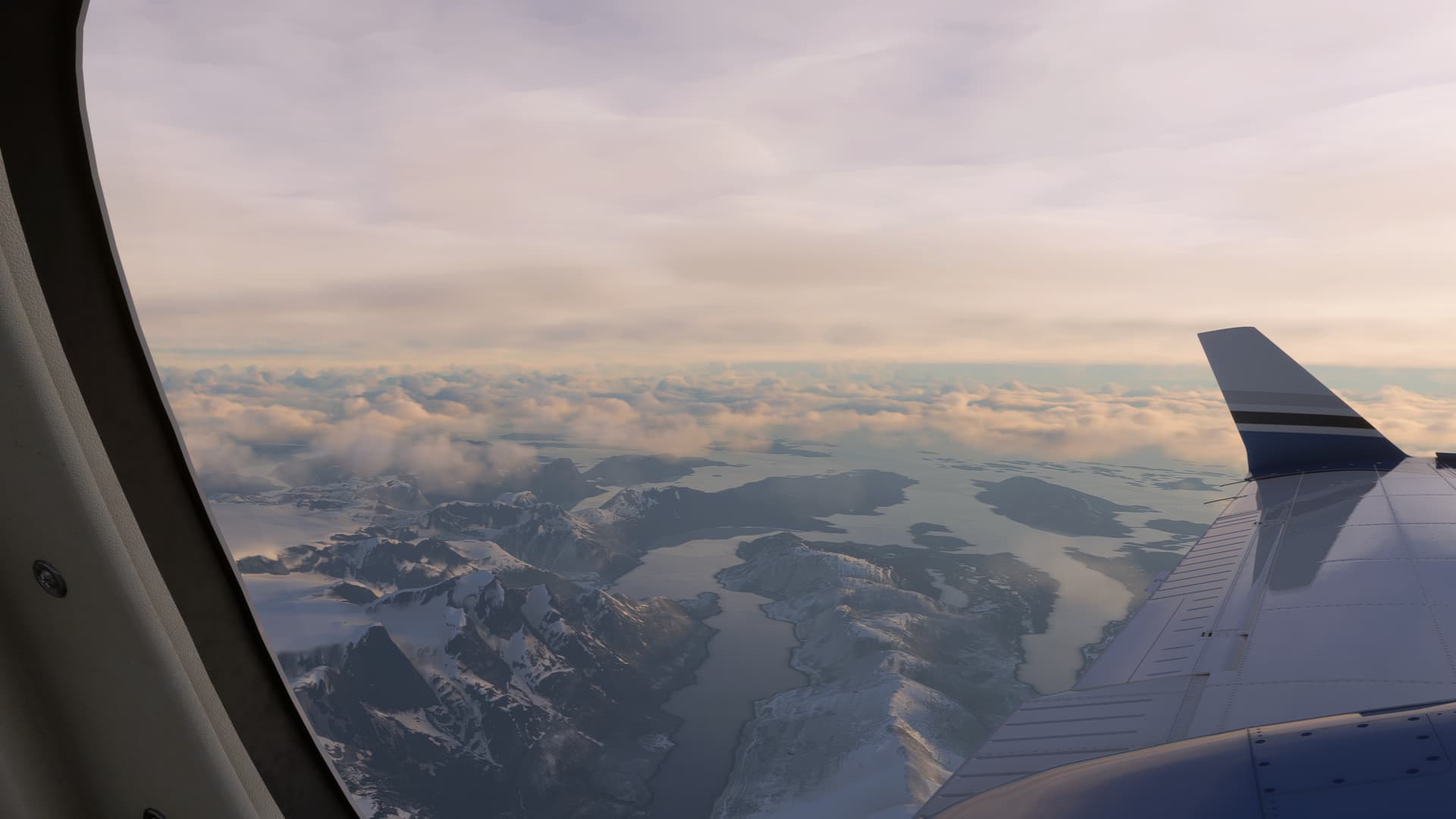
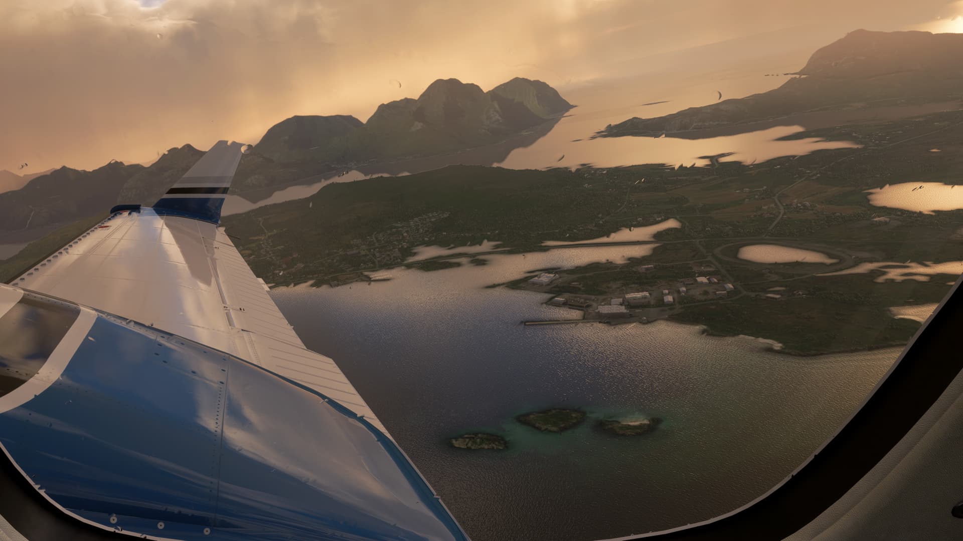
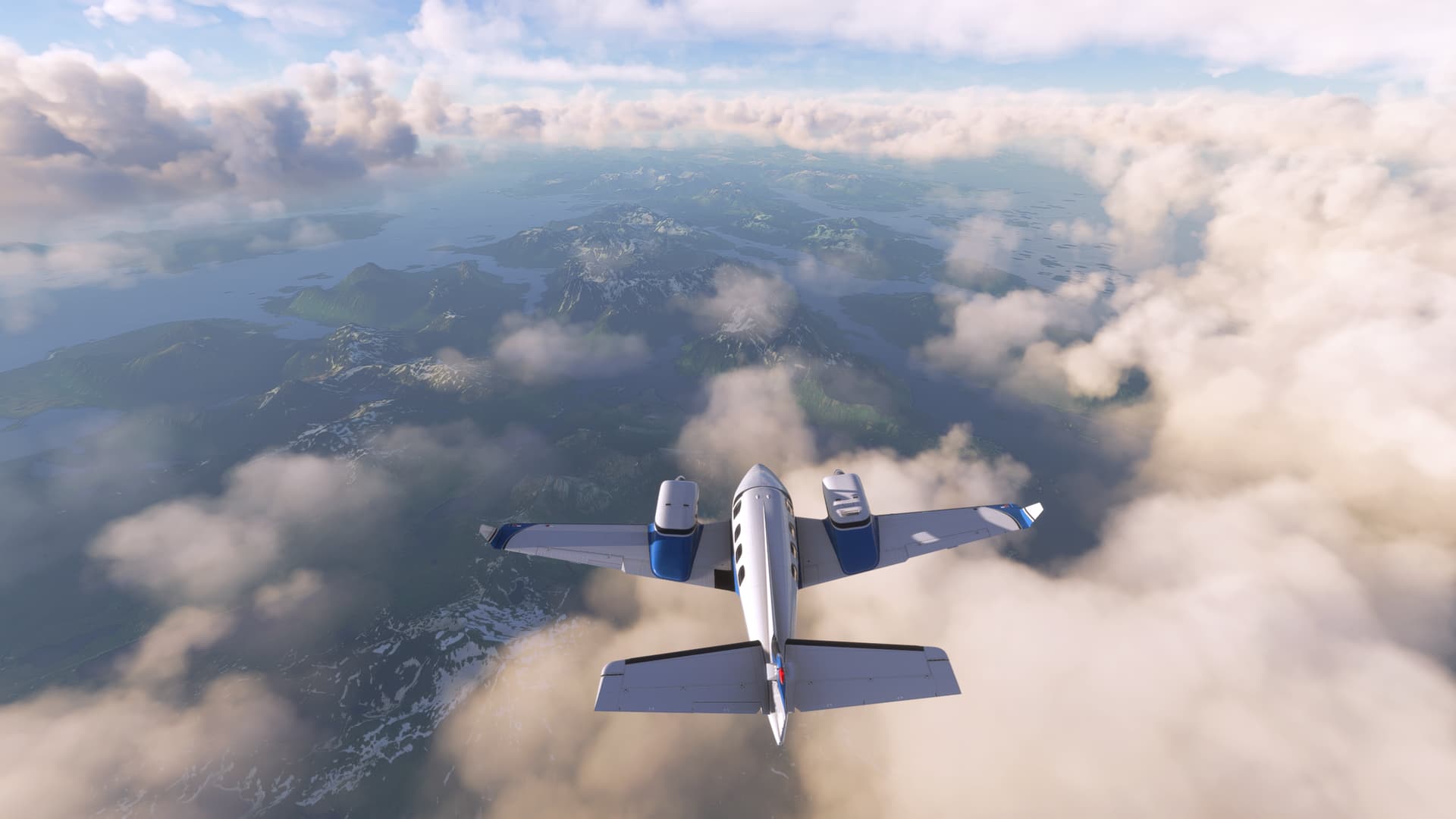
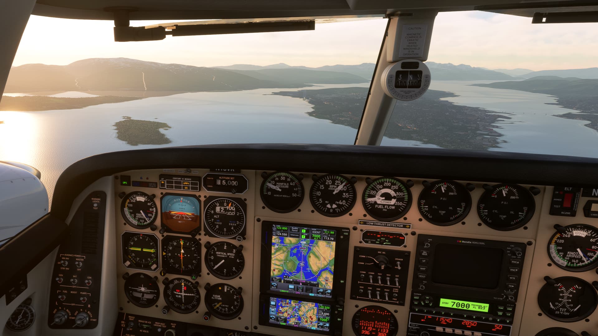
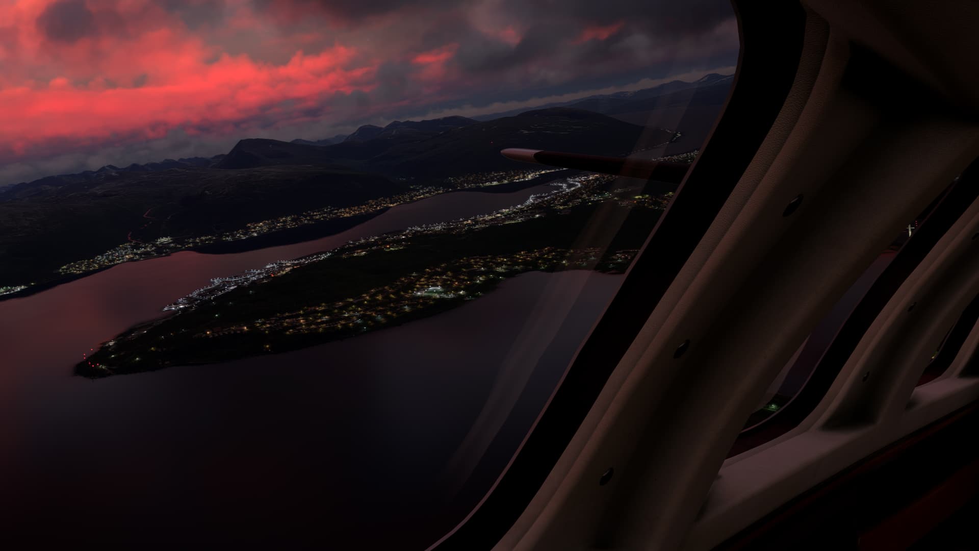
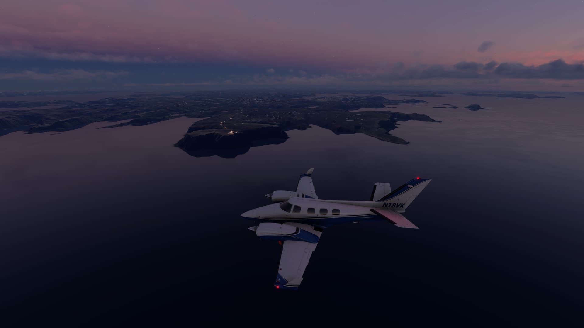
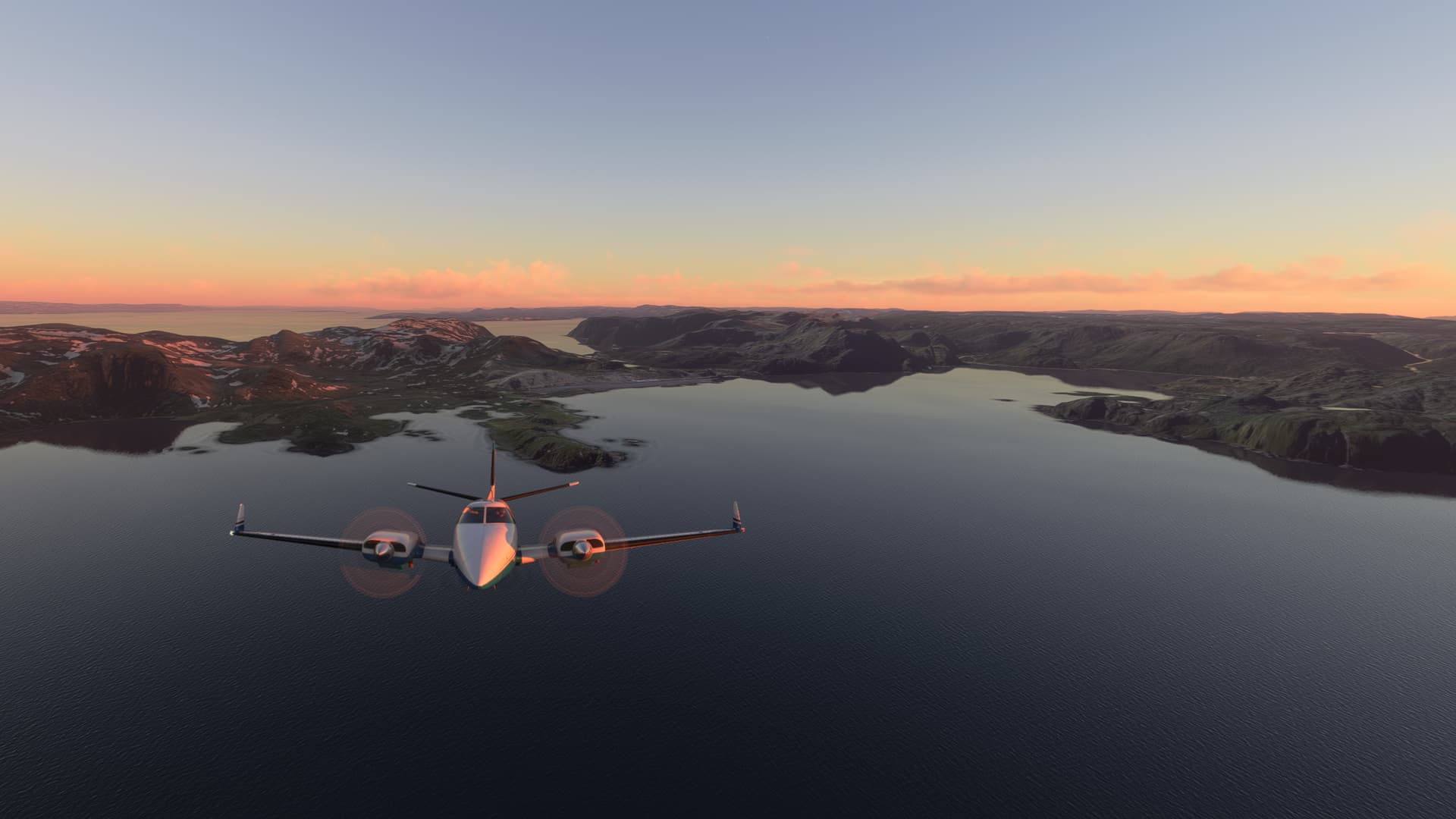
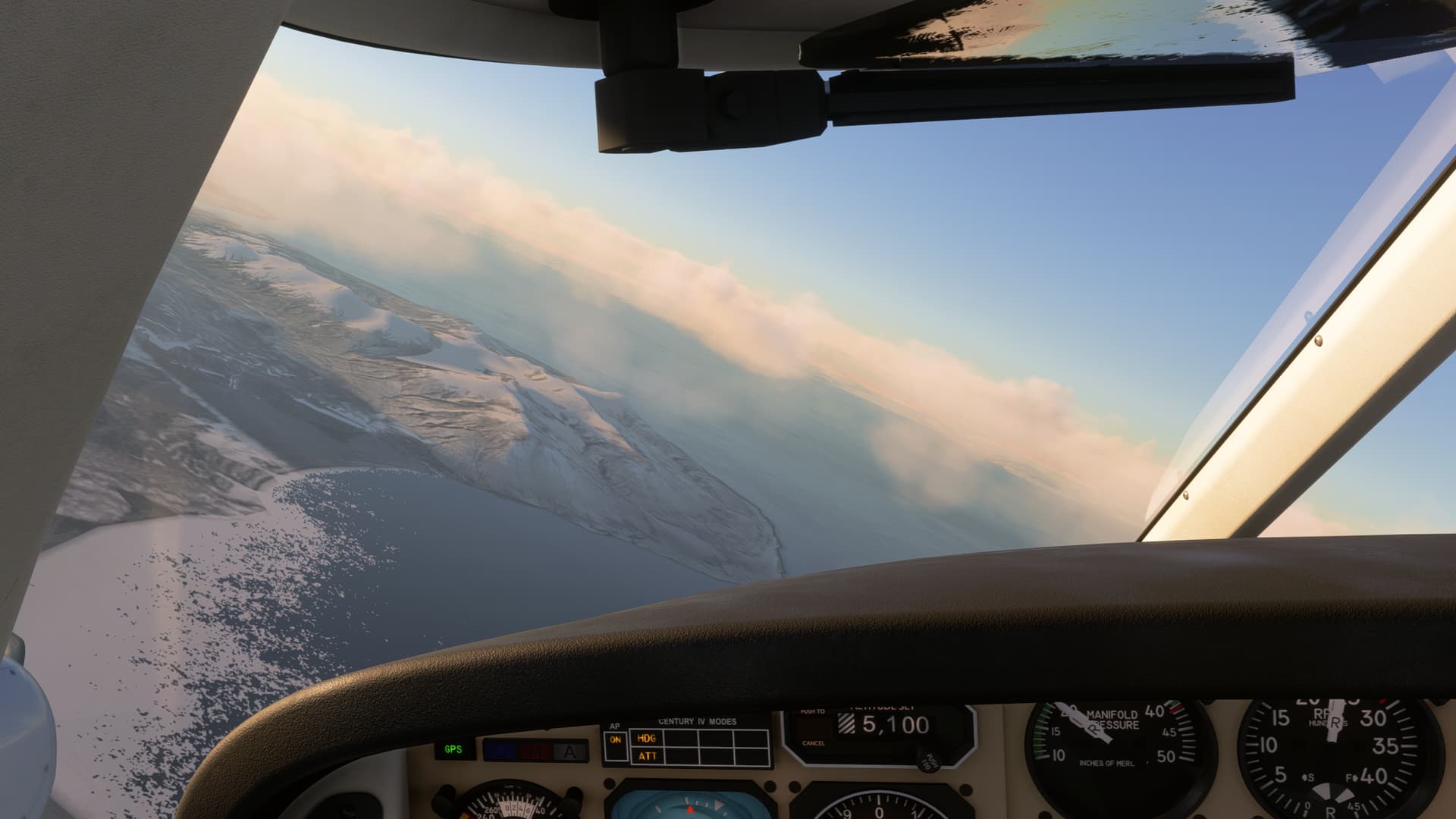
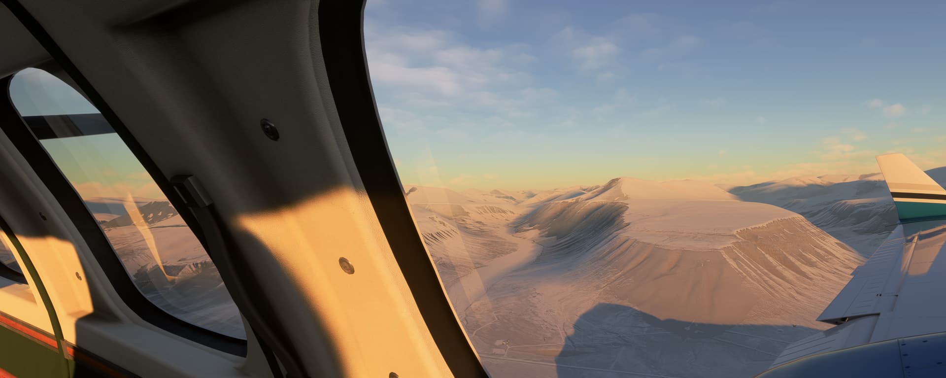
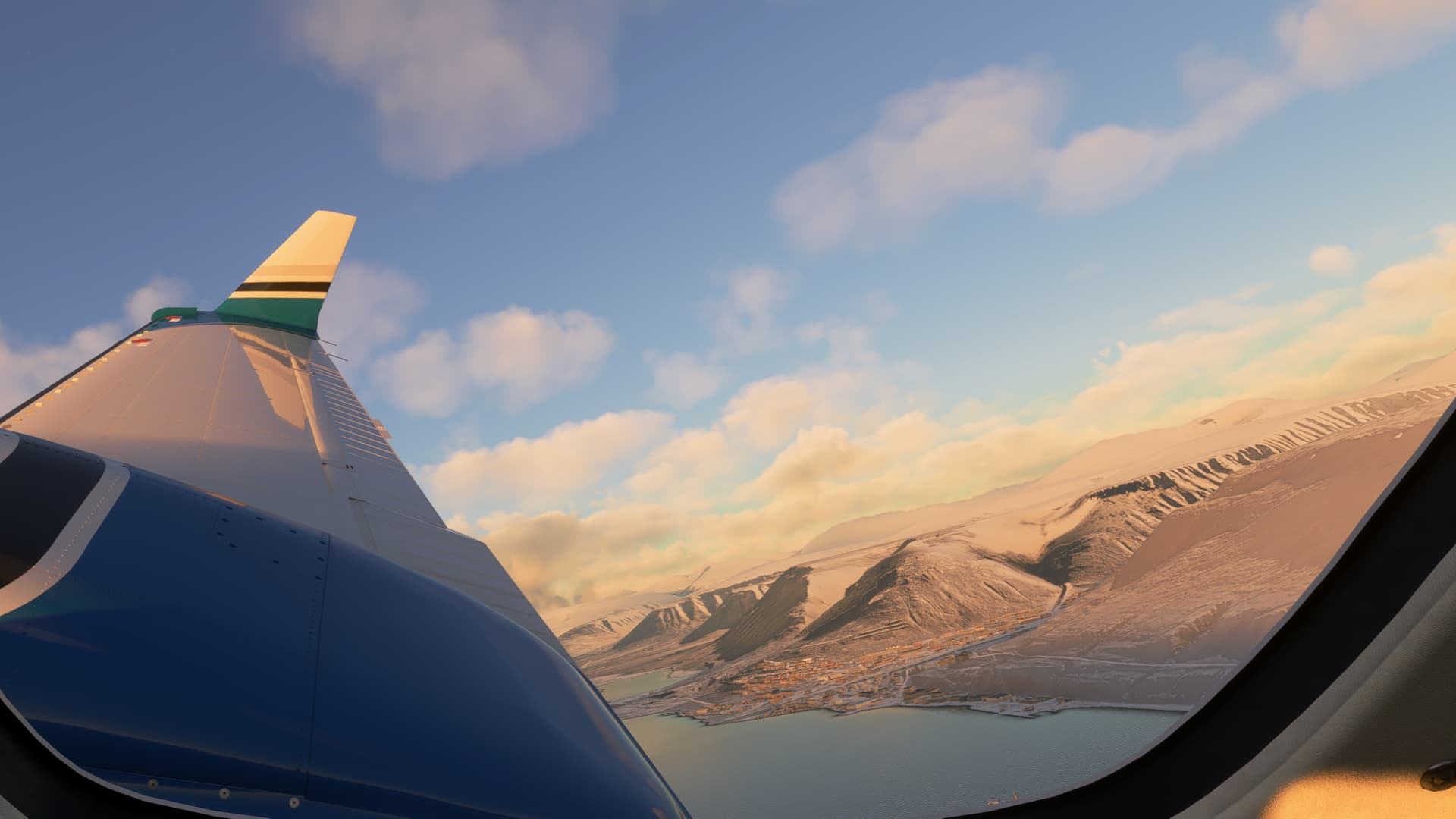
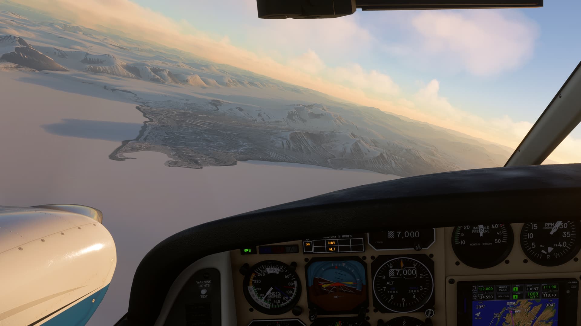
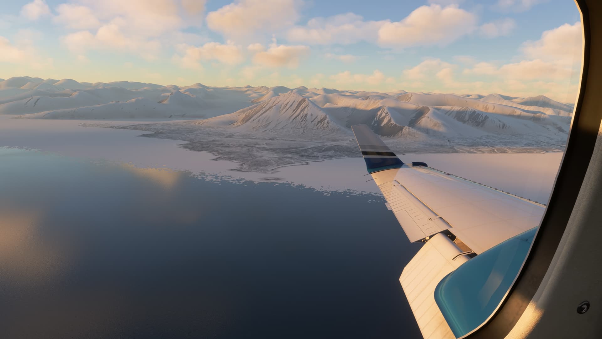
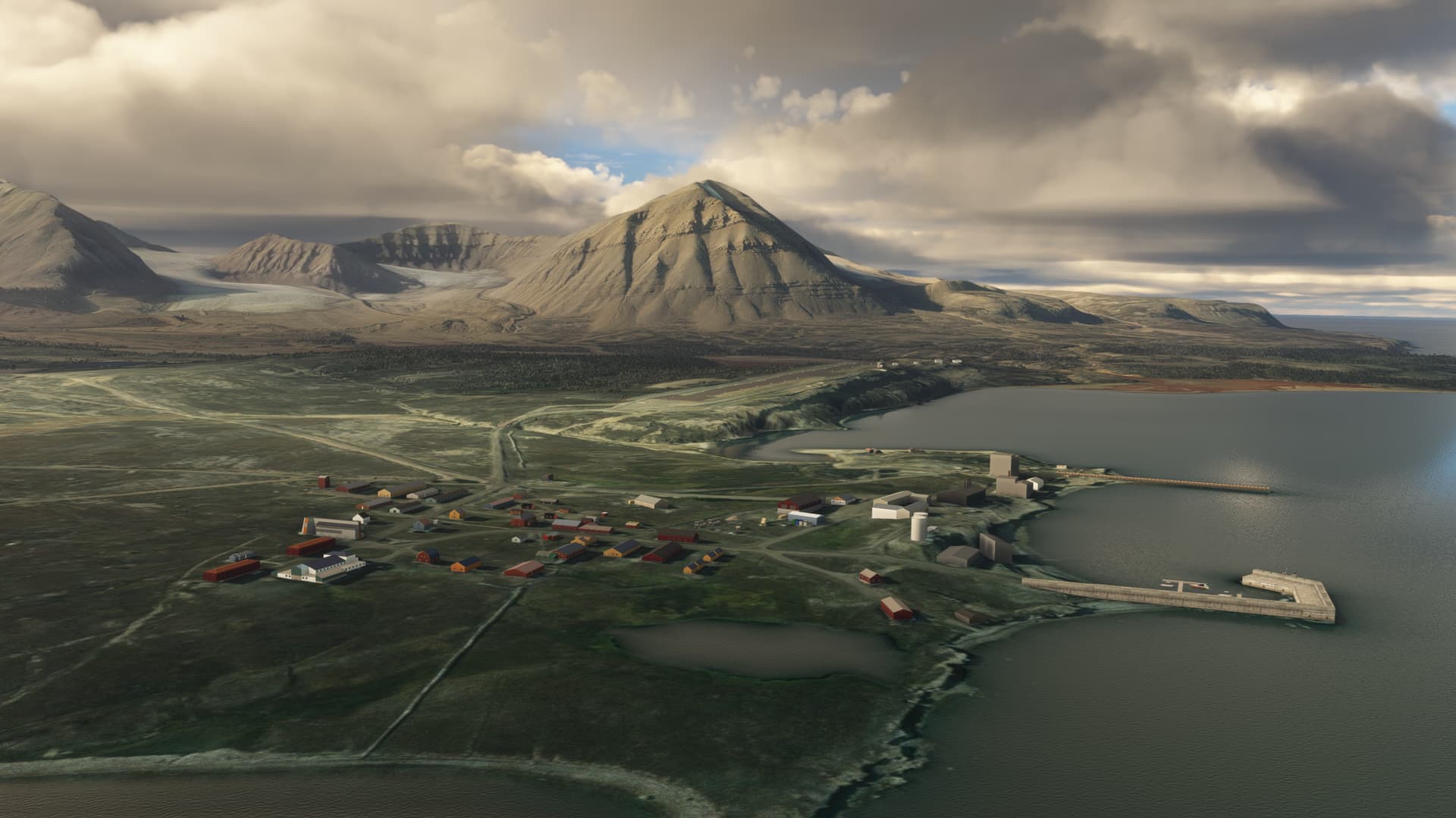
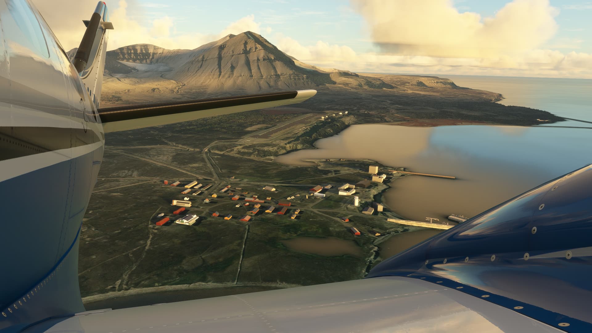
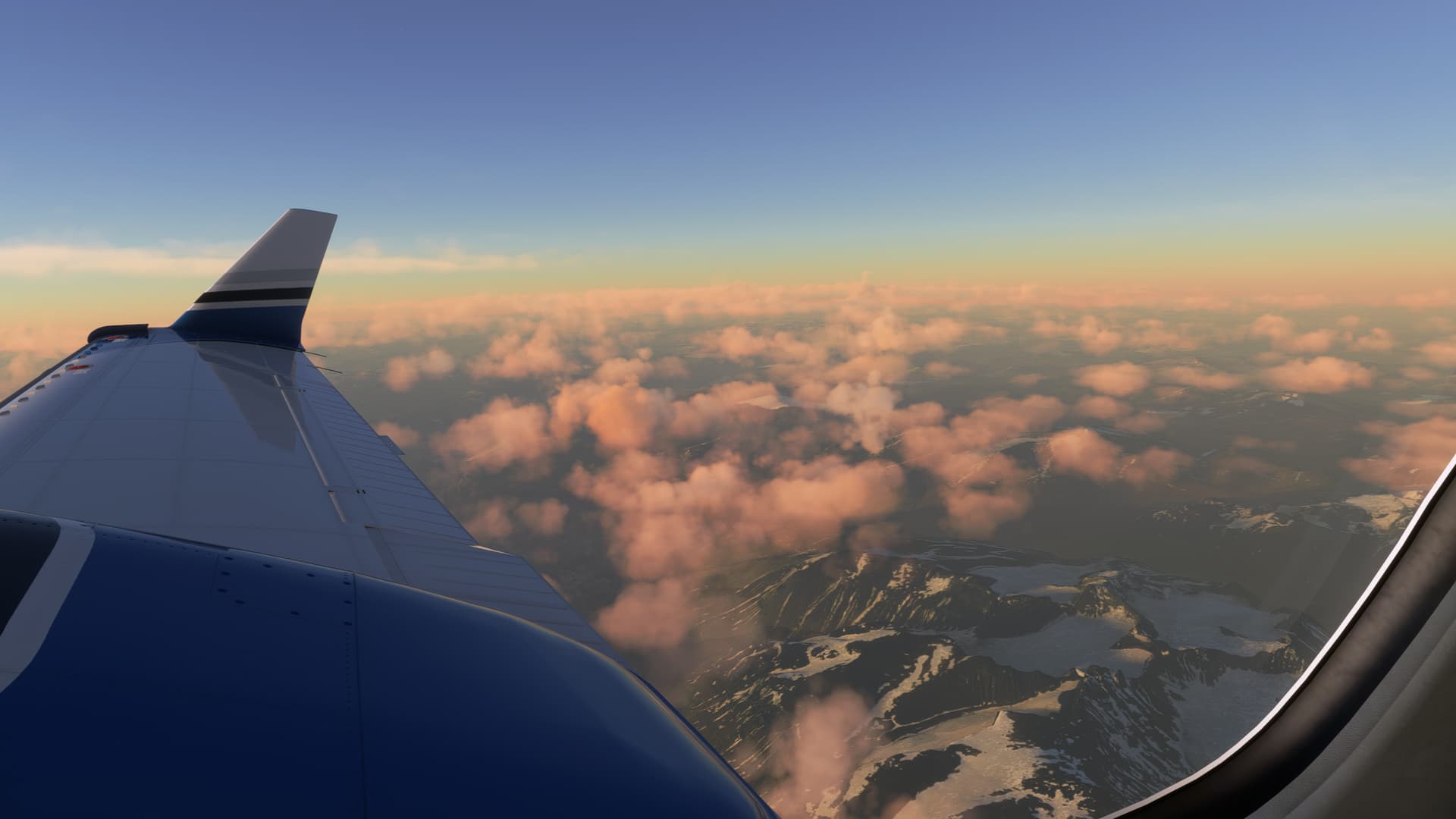
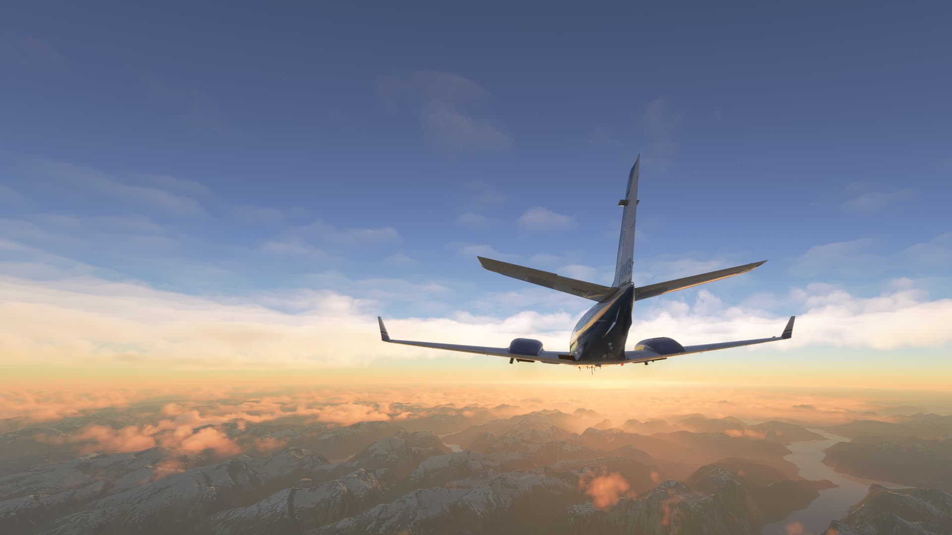
Continuing the climb, I had some beautiful views of the scenery, as expected:

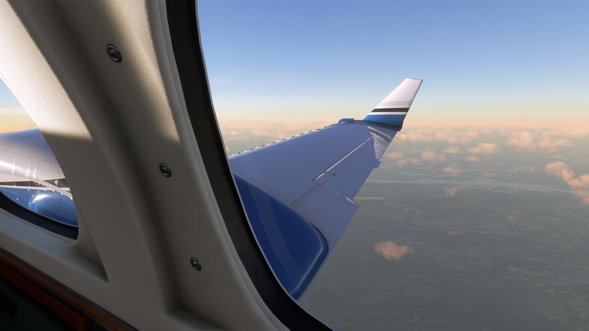
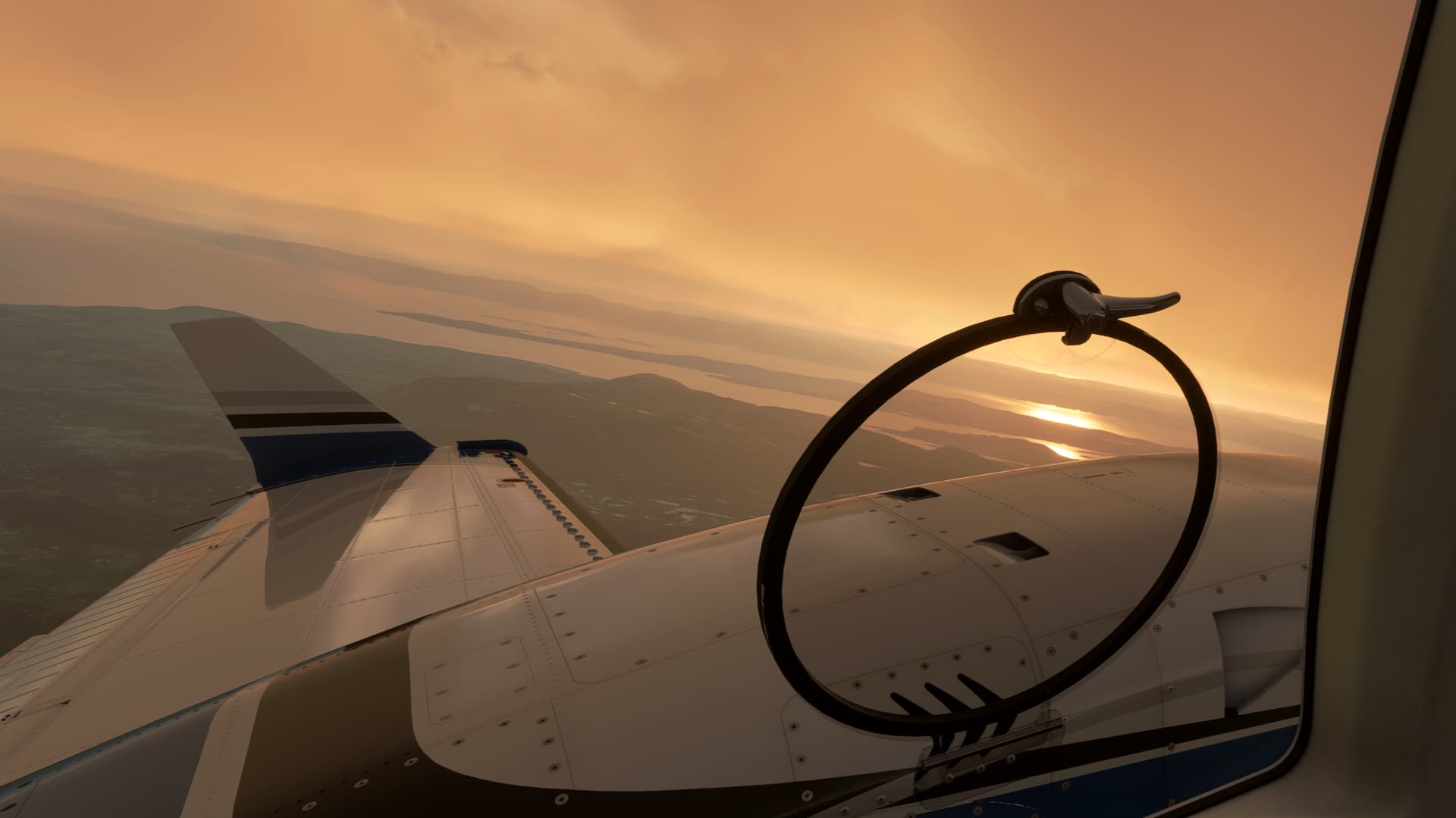
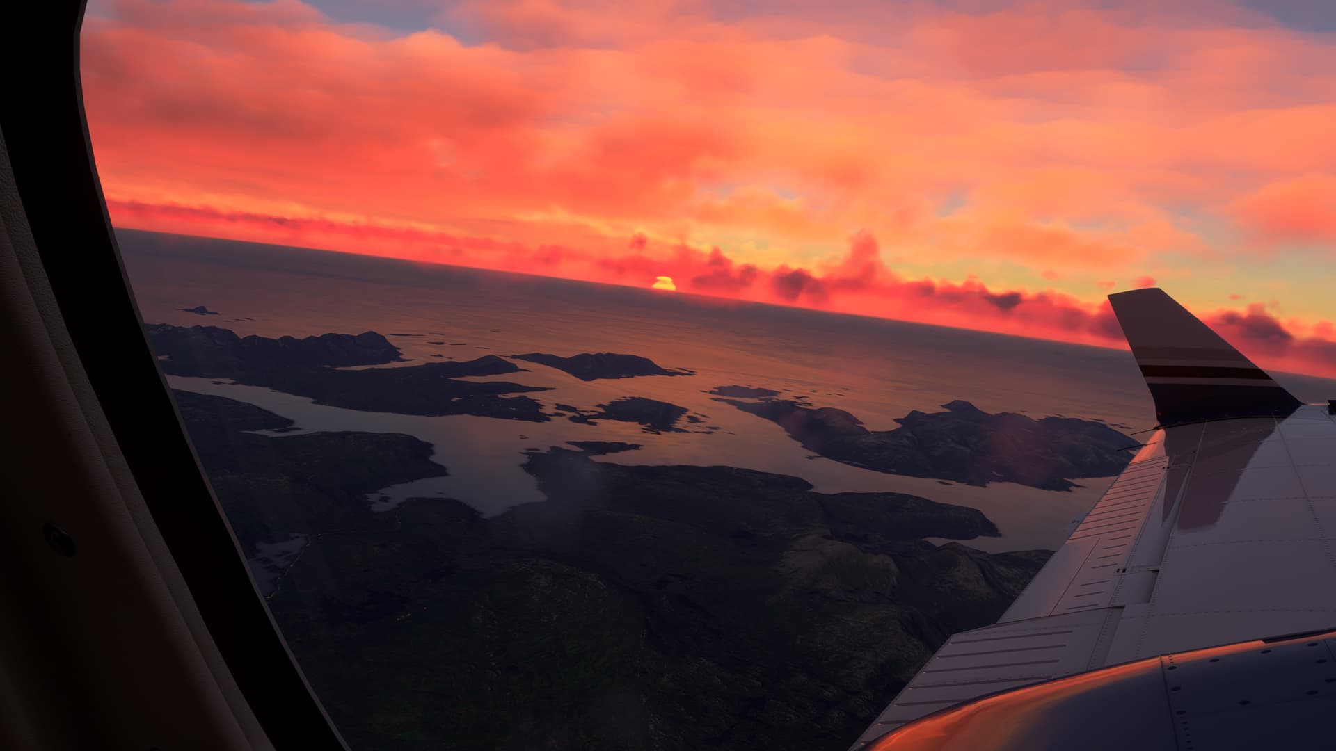
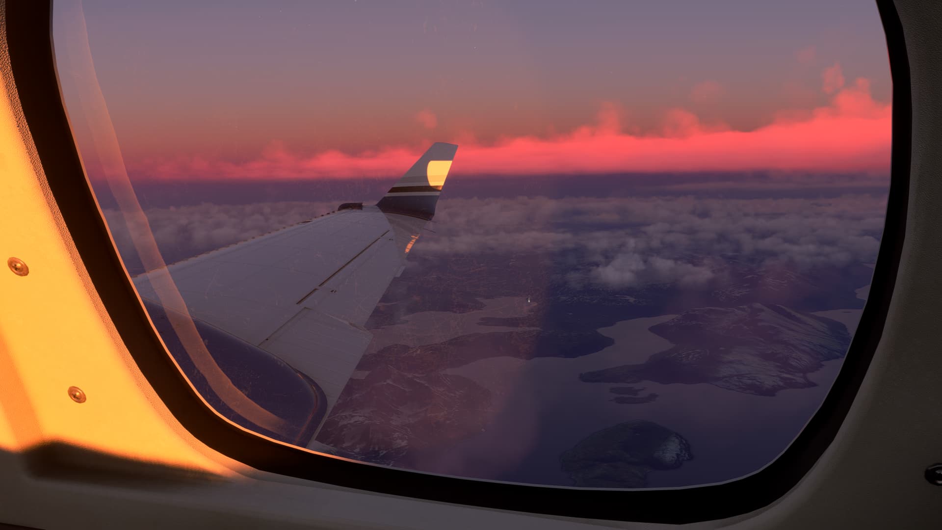
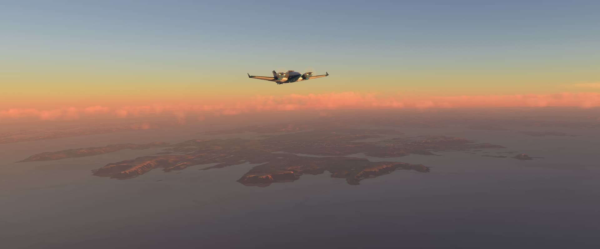
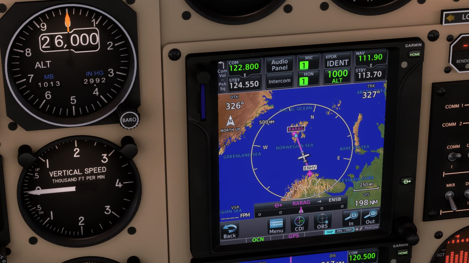
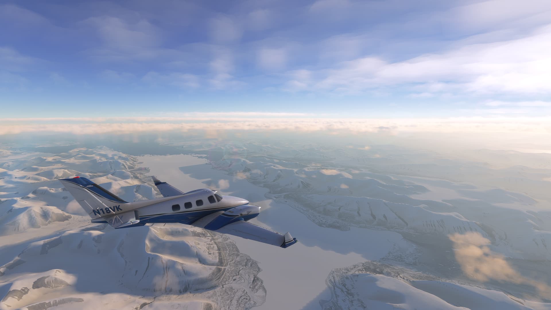
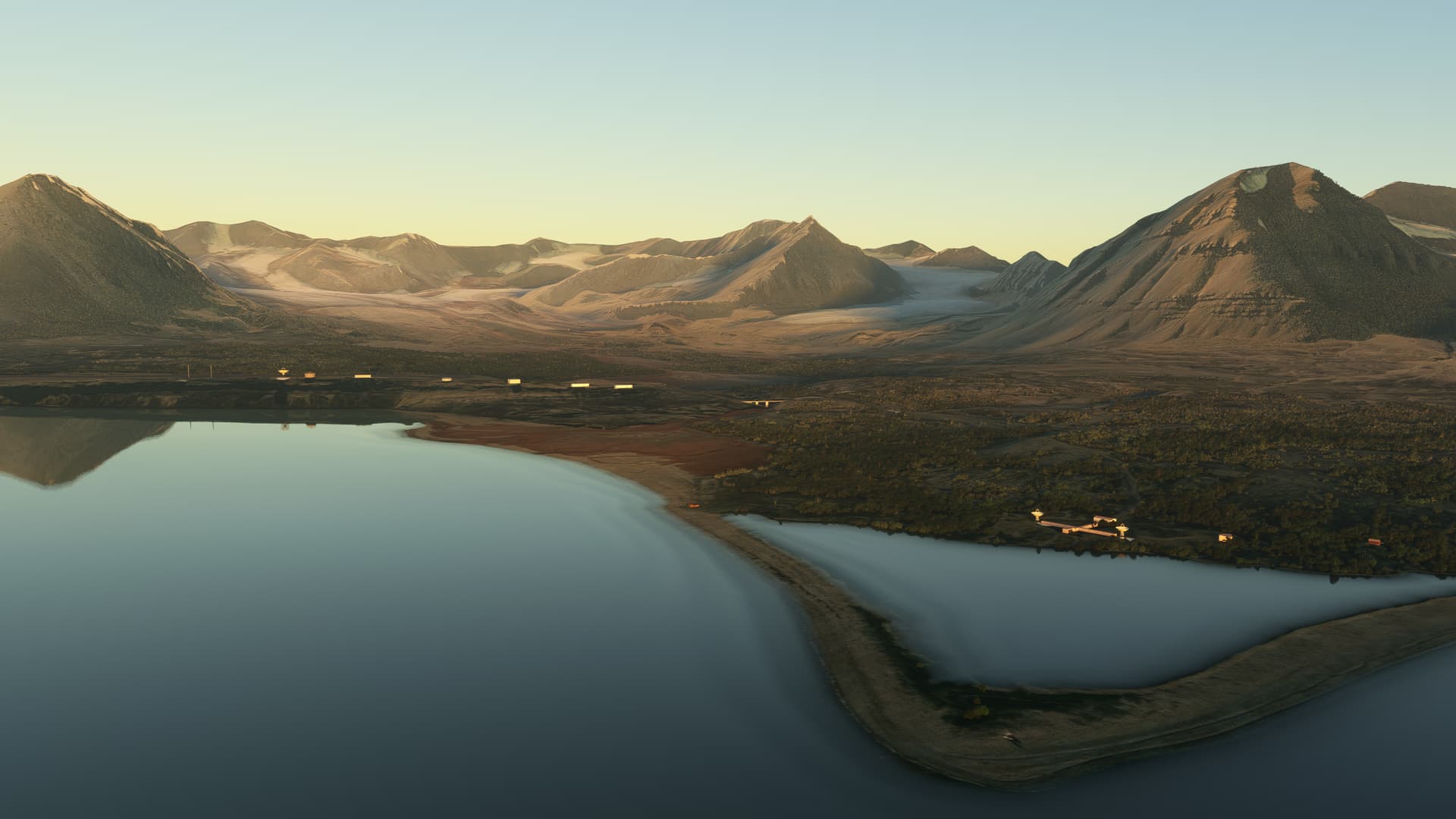
Level now at FL 220 and some great views of the Norwegian glaciers:

Before starting my descent, I checked the weather again. The TAF was still forecasting CAVOK, but the METAR painted a different picture. Fog with 1200 meters visibility and a ceiling of 200 feet overcast. Right at the minimums for the ILS approach into runway 24 that I was planning for. The weather around me was still clear, so it seemed as if marine fog was moving in to Ålesund.

My attention suddenly shifted from viewing the scenery to thinking about where I might divert. My planned alternate was to go all the way back to Oslo – but I would like to get closer to my destination if I could. Oslo to Ålesund by car is seven hours instead of one hour in the Duke.

I checked the weather for Sandane ENSD. Closer to Ålesund but located further inland, it was reporting CAVOK. I kept this in mind as an option for a diversion.

In the meantime, however, it was time to start the descent.

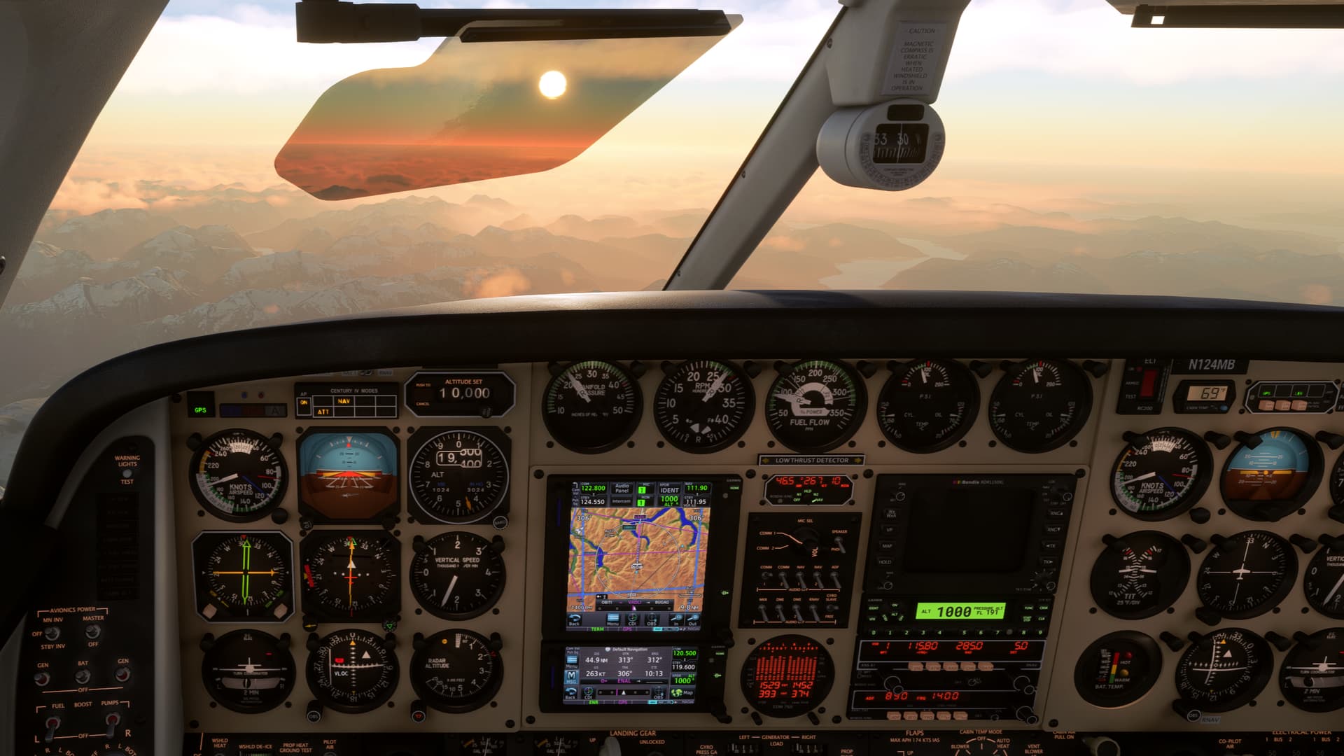
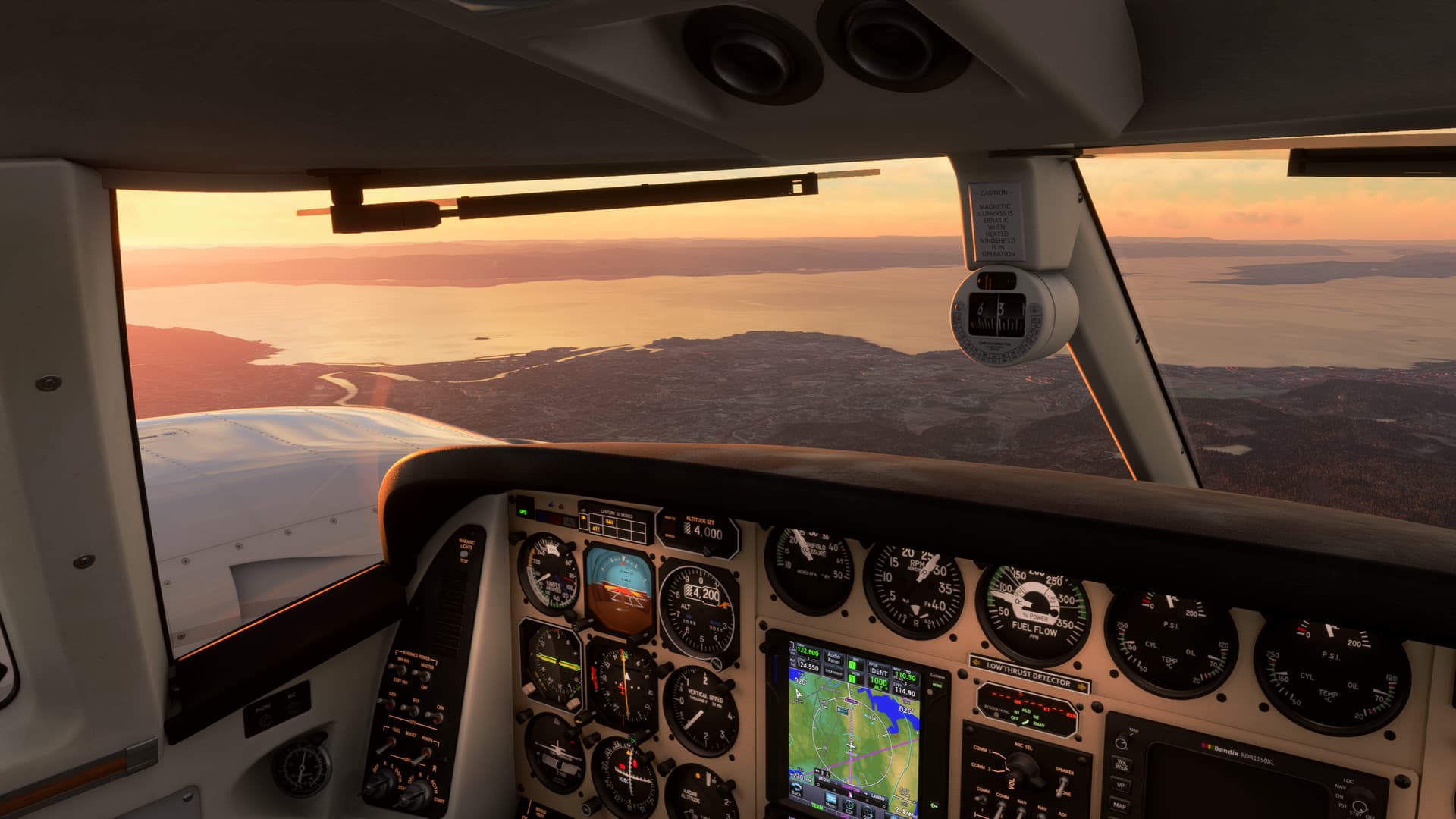
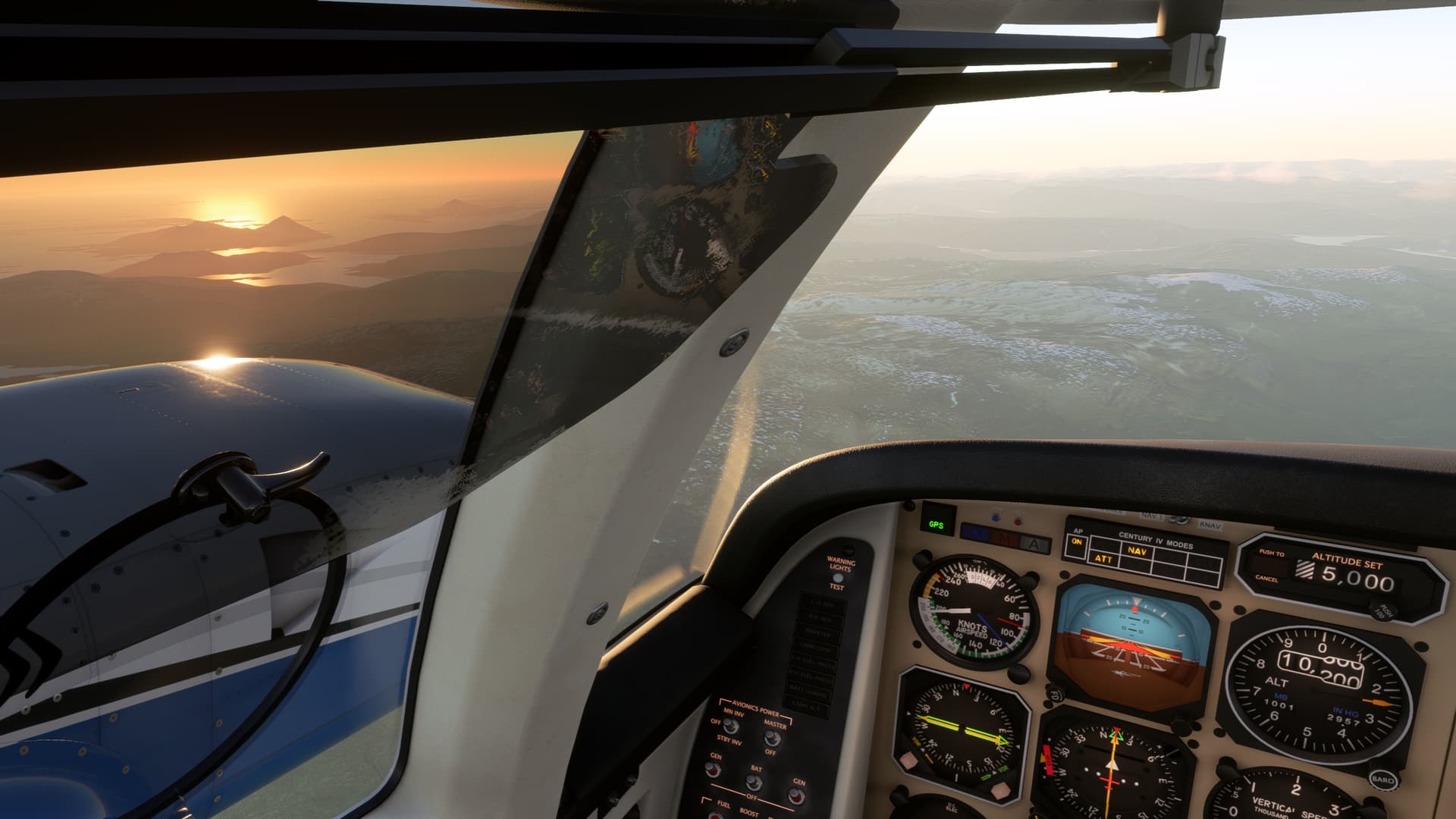
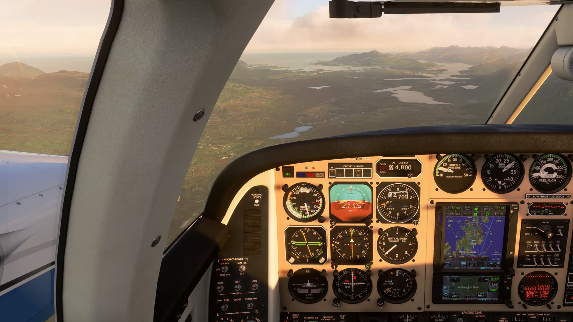
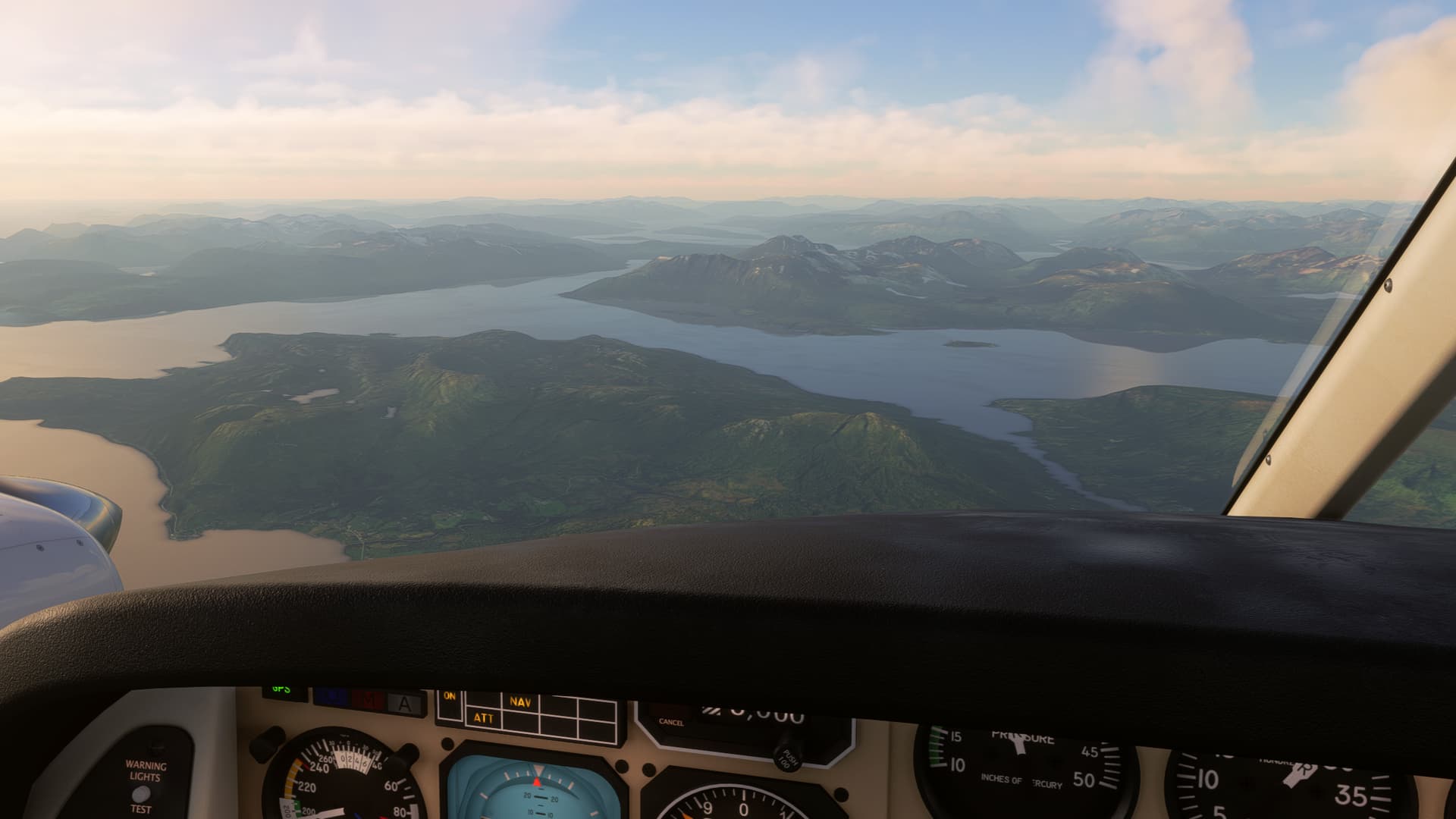
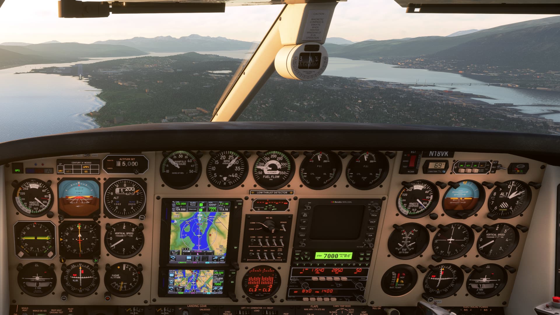
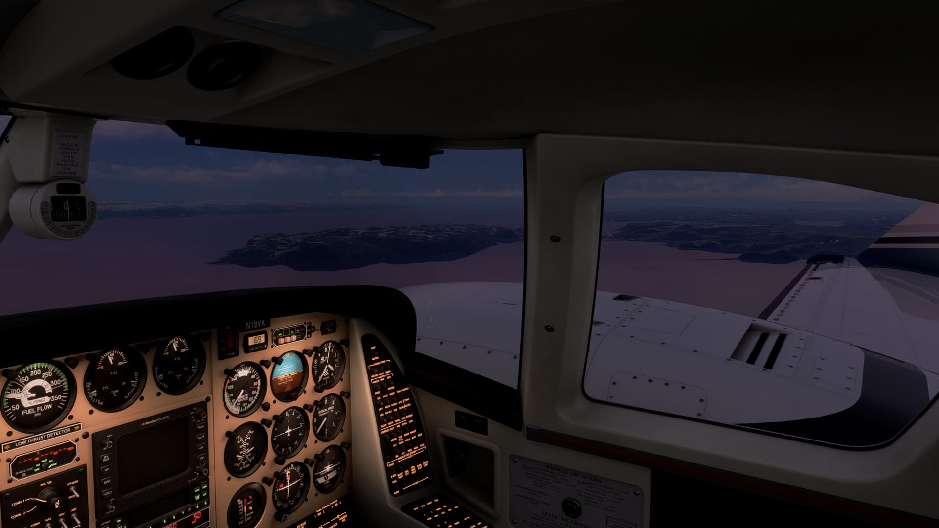
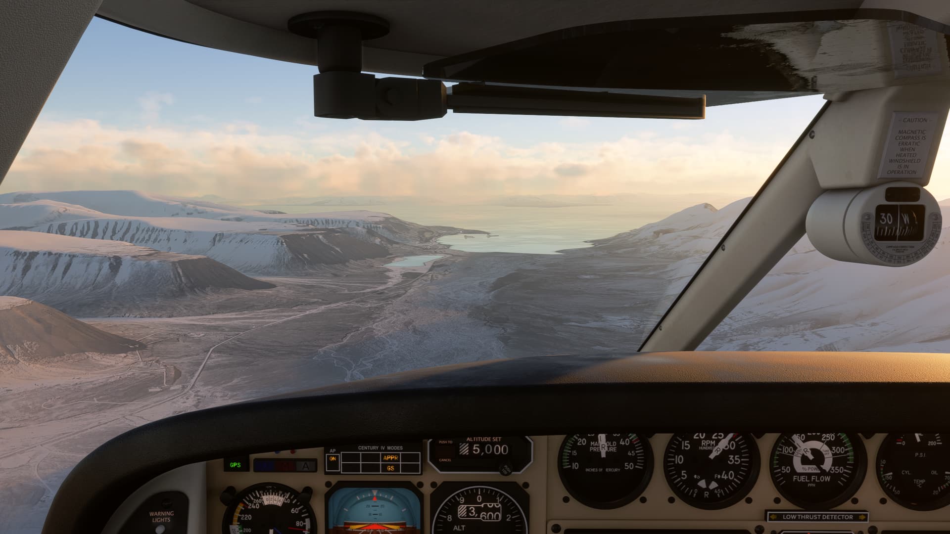
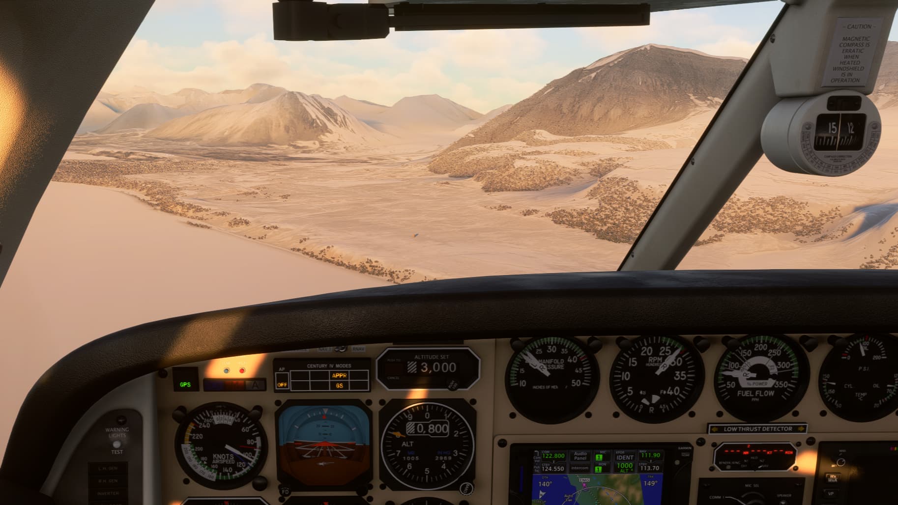
I believe the fjord to the right of the windshield post is the Storfjord, with the town of Stranda just behind the bend. They make good ham and other spekemat there.

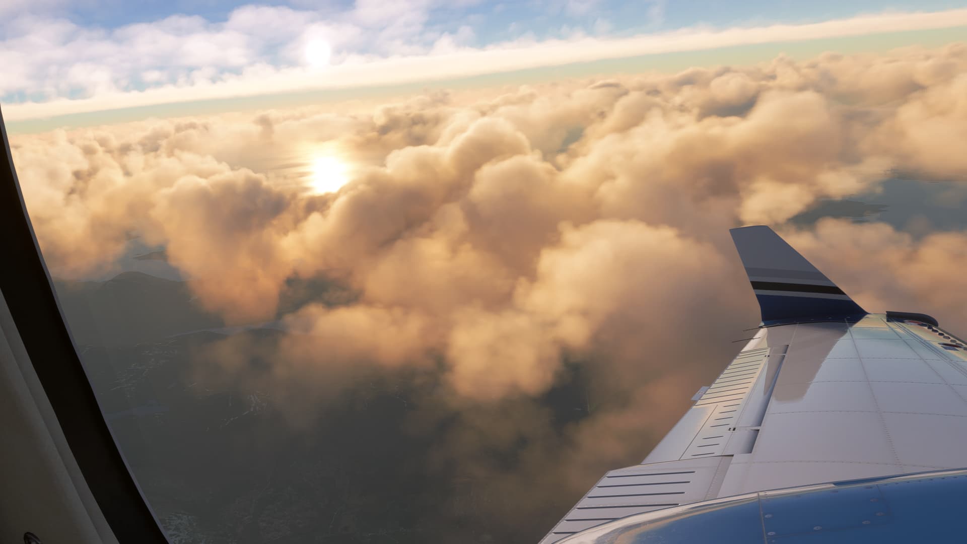
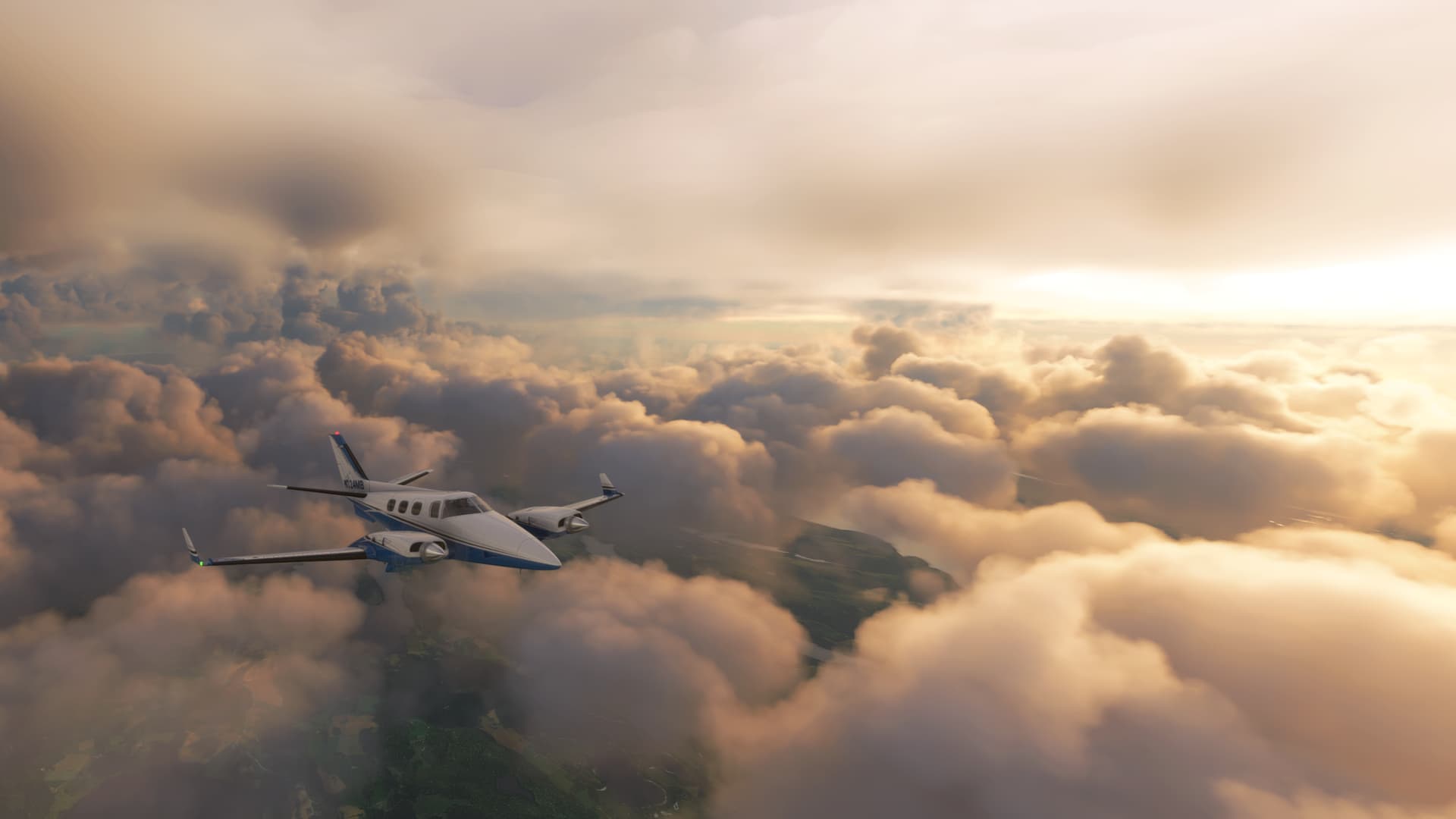
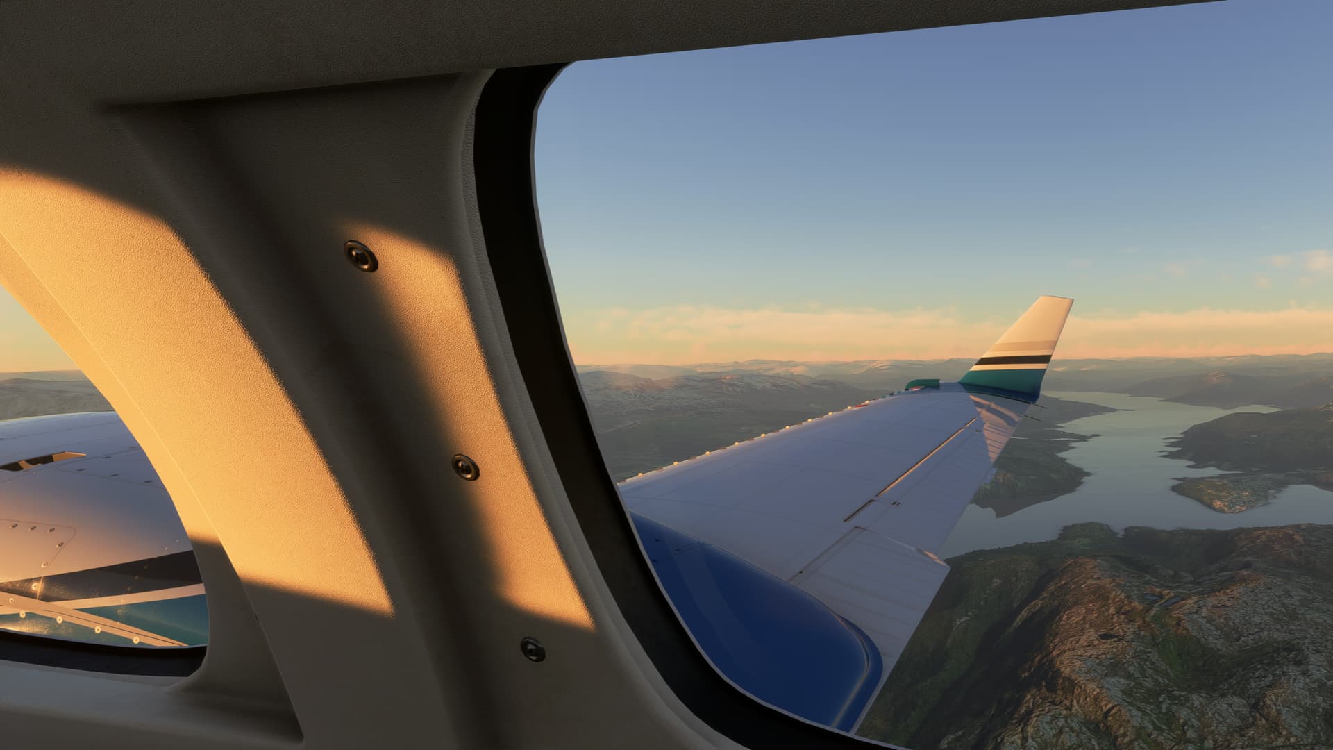
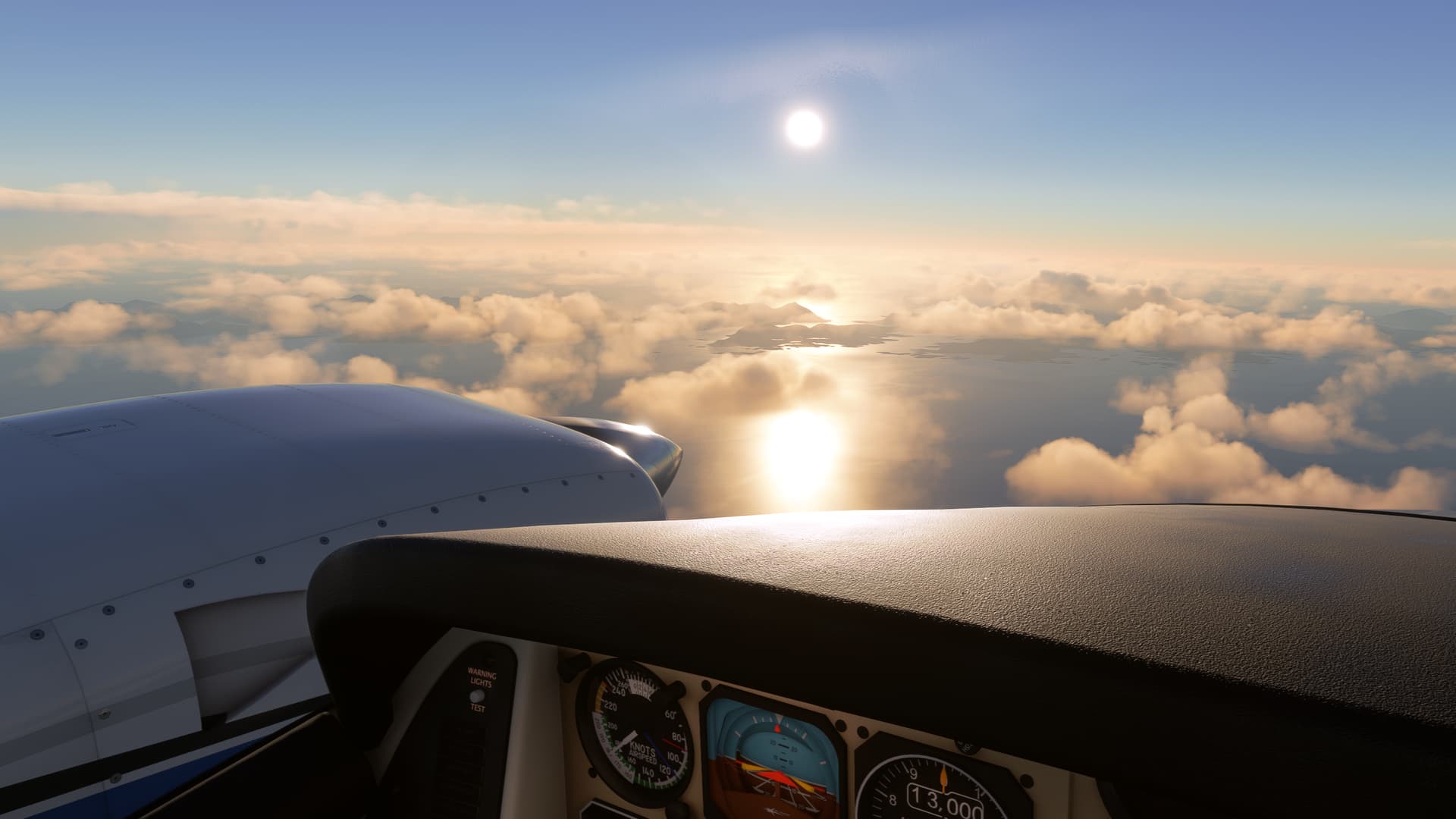
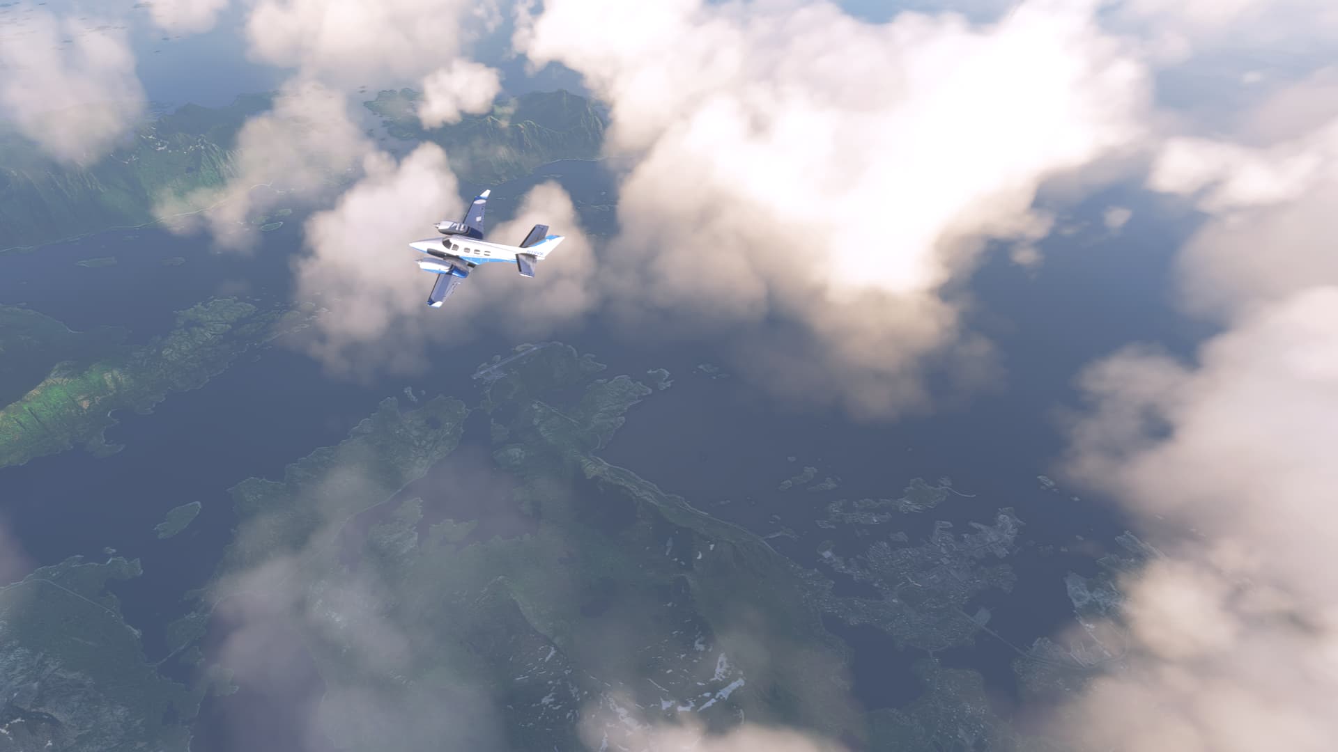
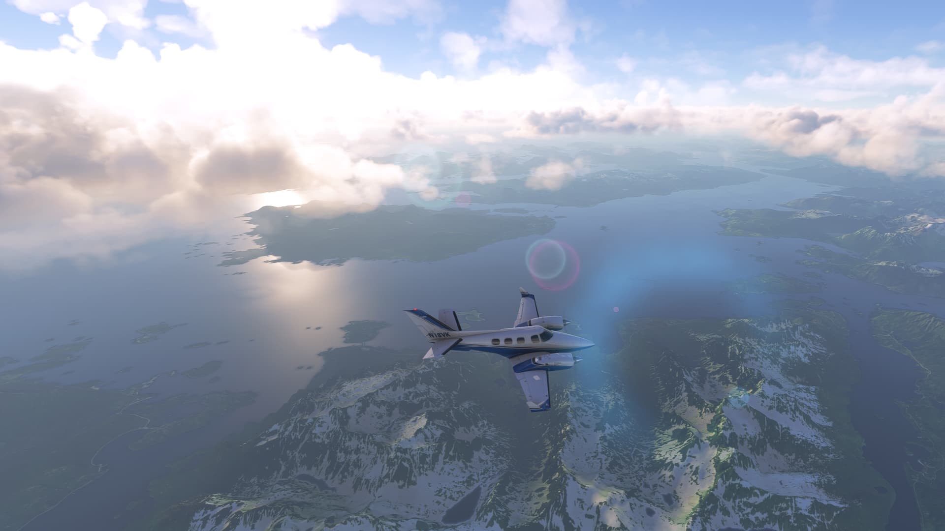
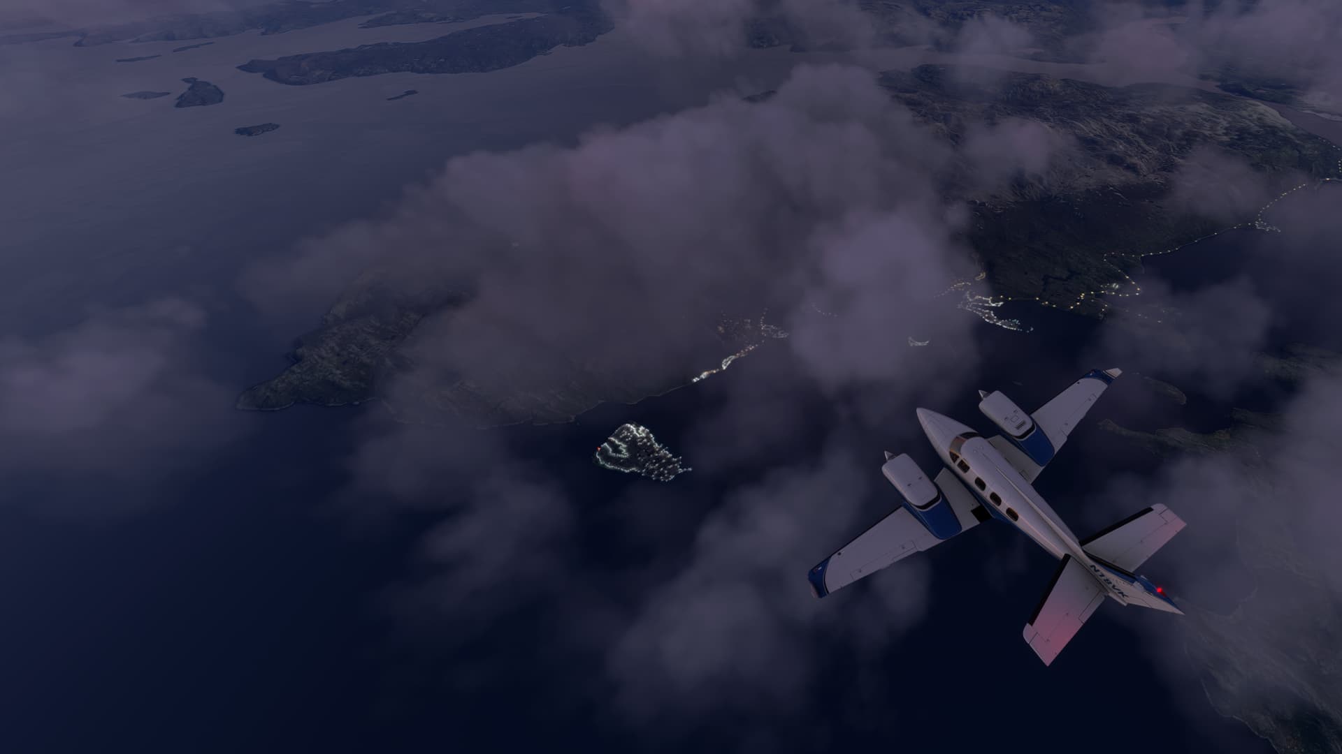
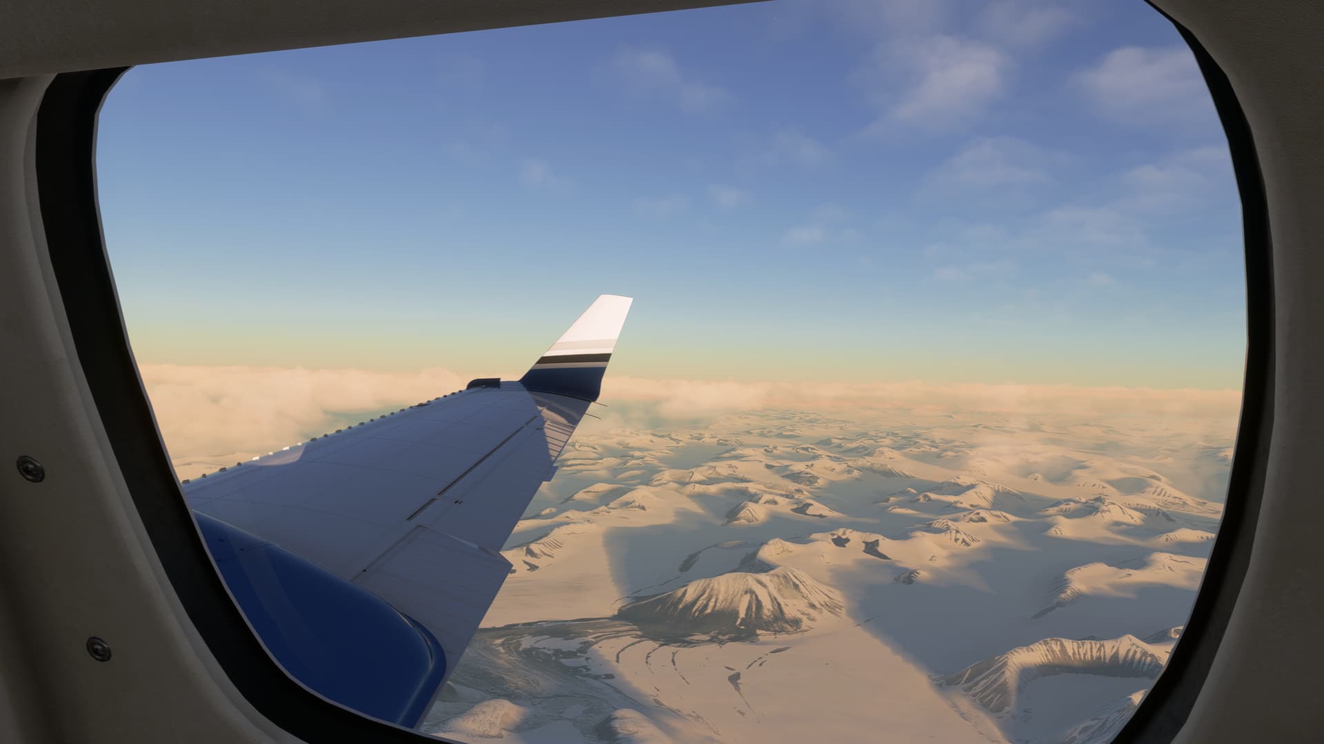
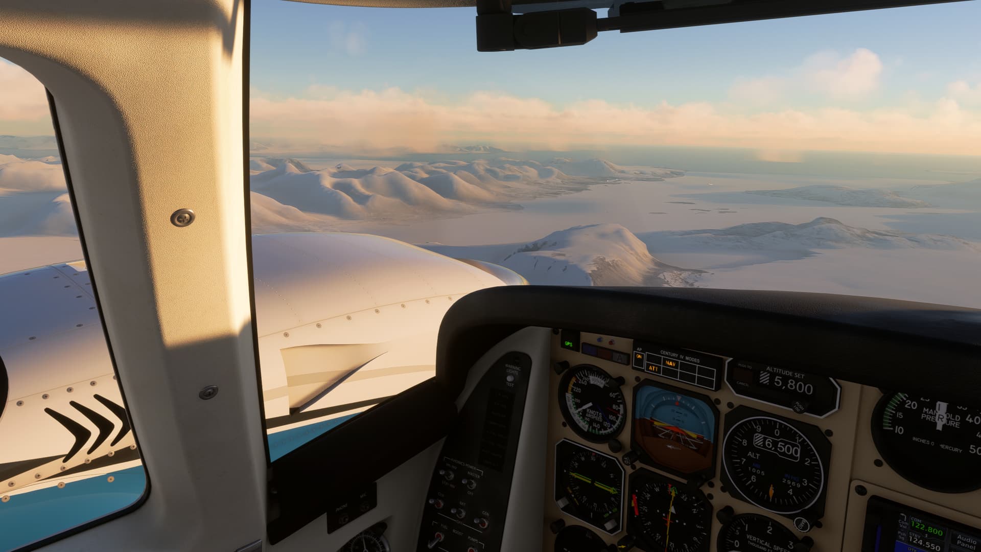
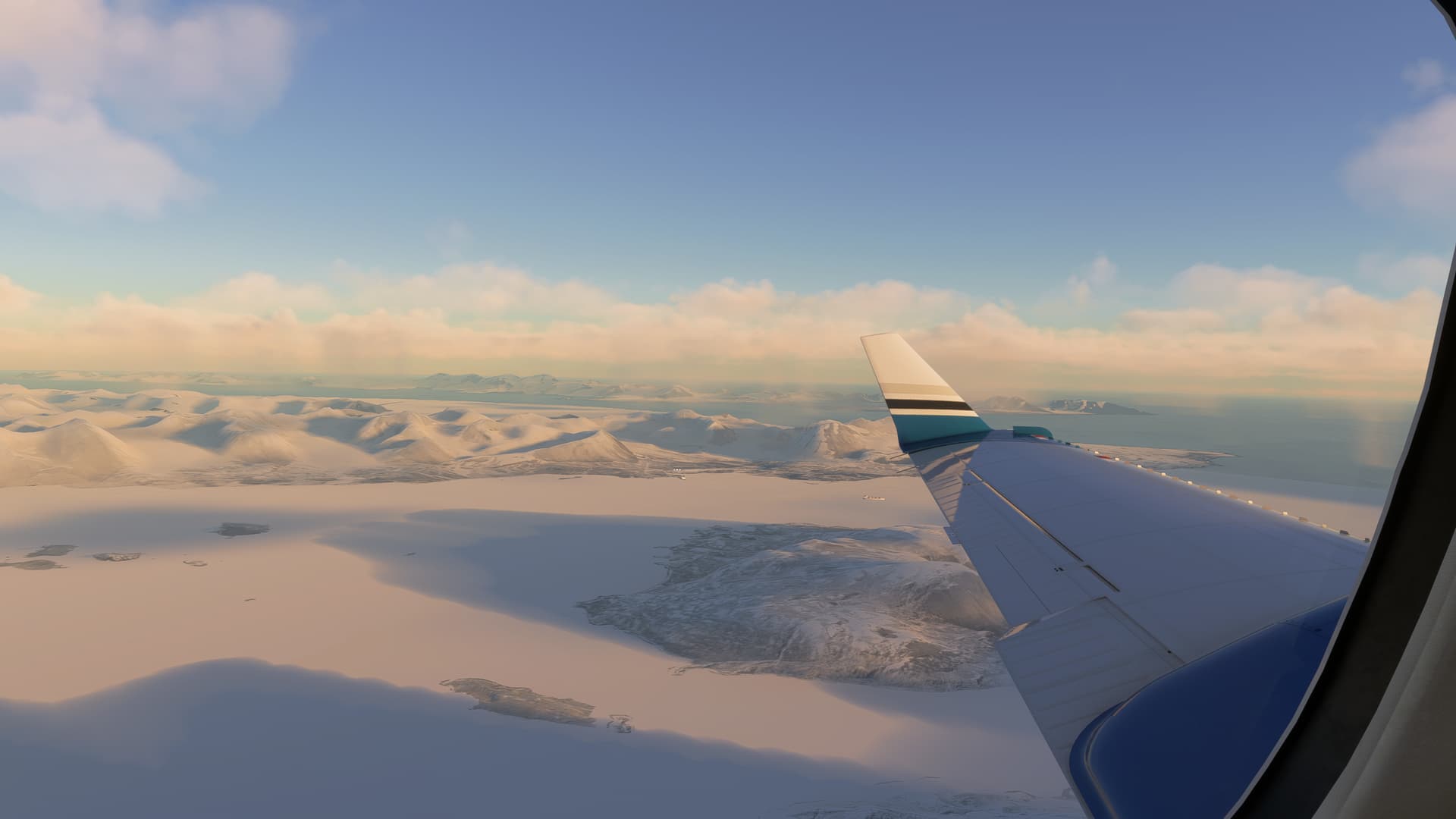
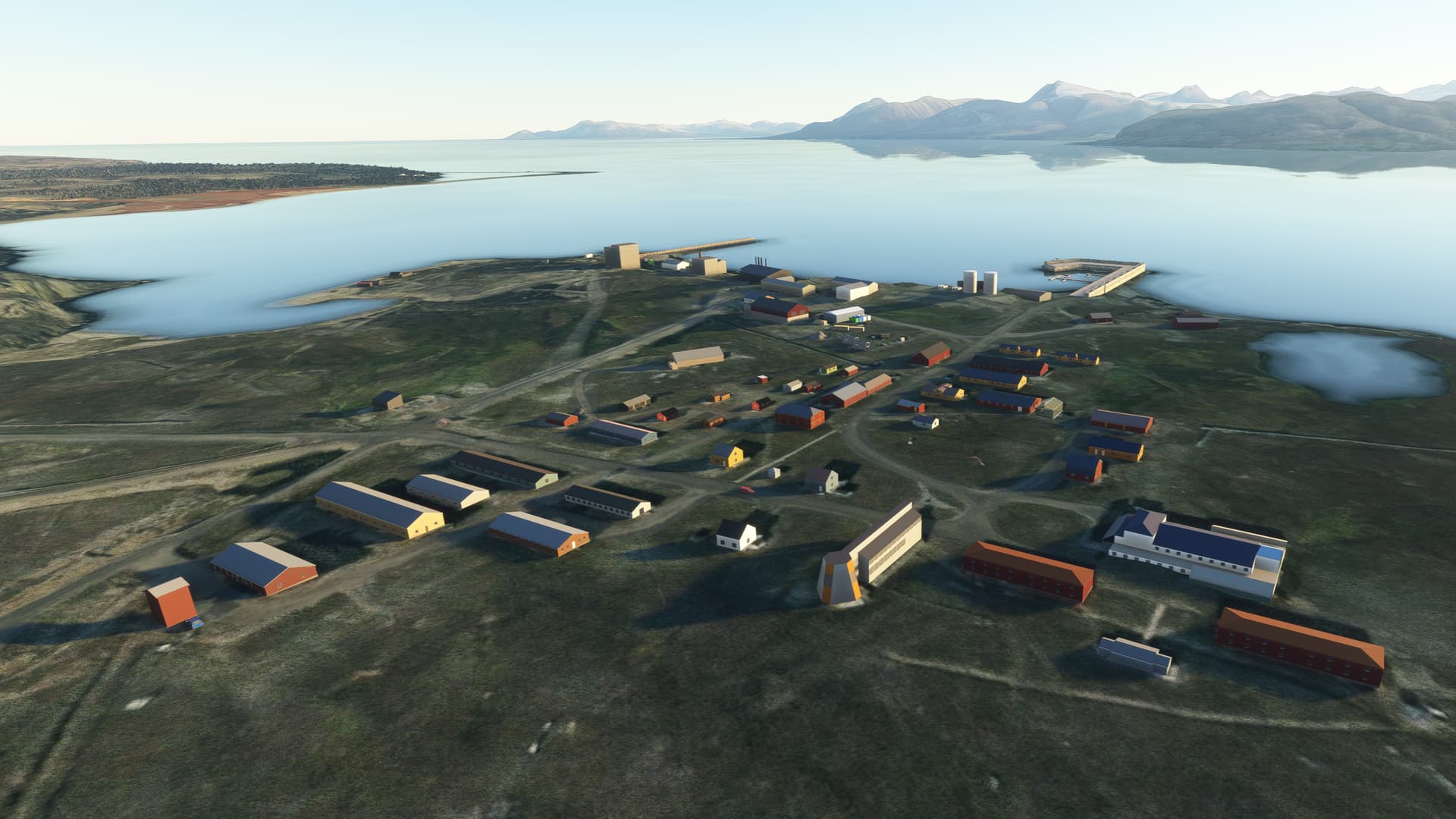
The views from the cabin were still gorgeous.

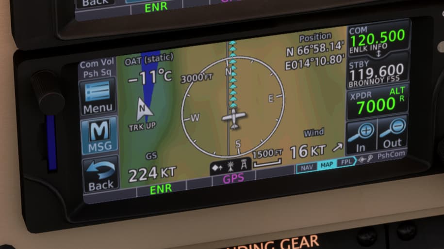
I continued to think about what I might do if I had to go missed at Ålesund, which seemed likely. The TAF had in the meantime been amended:

TAF AMD ENAL 242002Z 2420/2422 26008KT 9999 SCT002 BKN015
TEMPO 2420/2422 0500 FG VV002

I guess they had realized that their previous forecast of CAVOK had been a bit optimistic. But at least they were saying the fog would only be temporary. If I had to go missed, it might be worth trying another approach.

I only had 30 minutes of extra fuel, though. If I did do another approach and had to go missed again, that would probably consume all of my extra fuel and then some. A diversion to my planned alternate of Oslo would then no longer be possible, and I would be committed to going to the closer alternate at Sandane. Before starting a second approach, I would therefore make sure the weather at Sandane was still good enough to divert there.

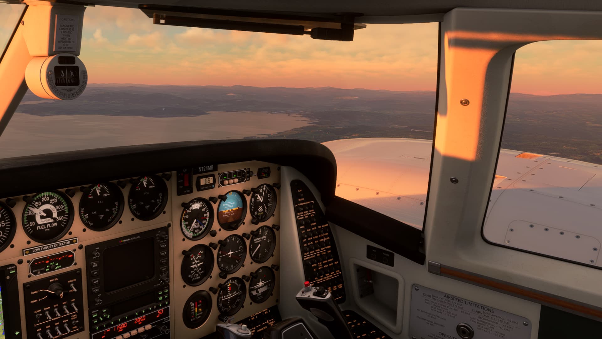
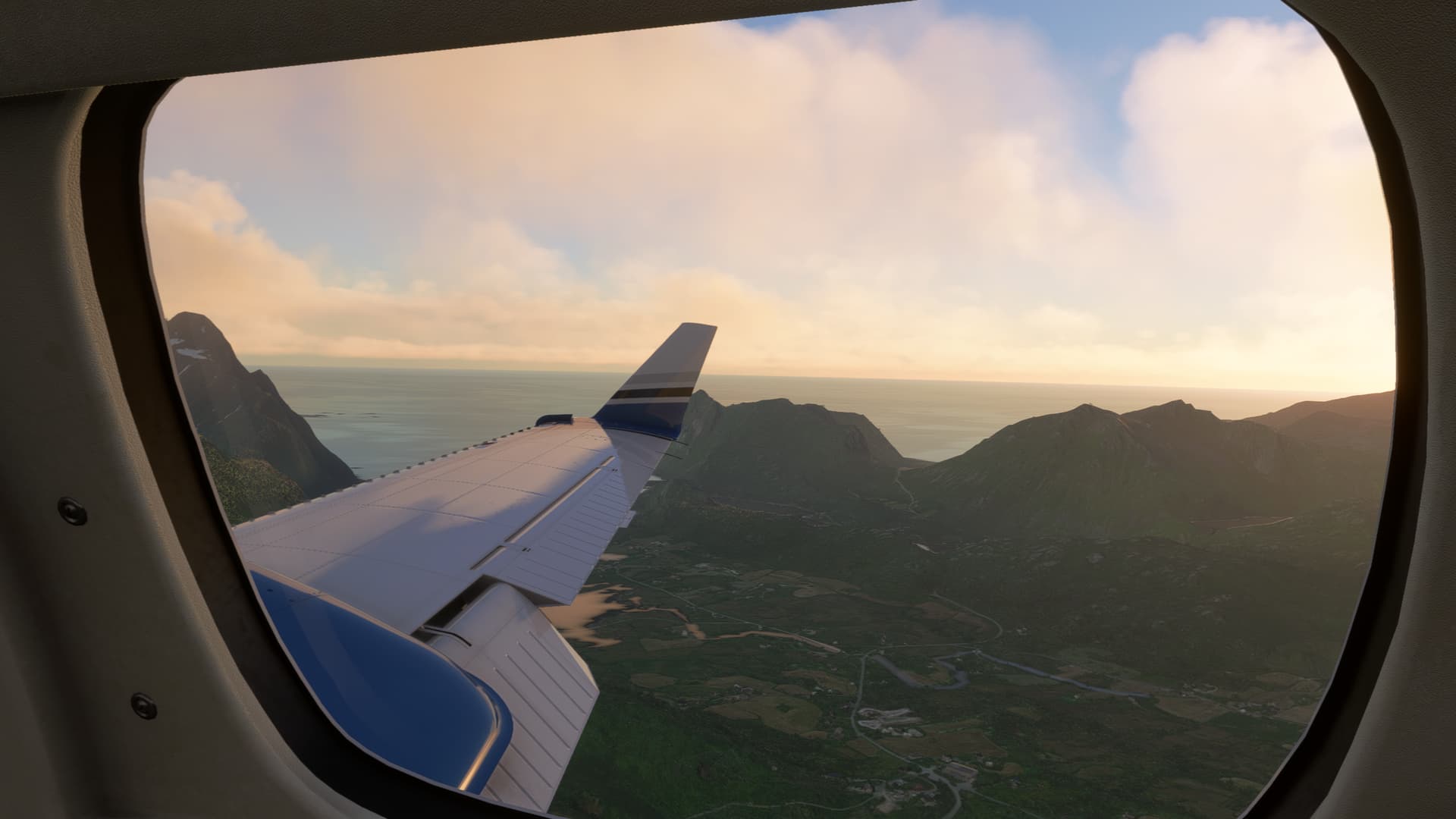
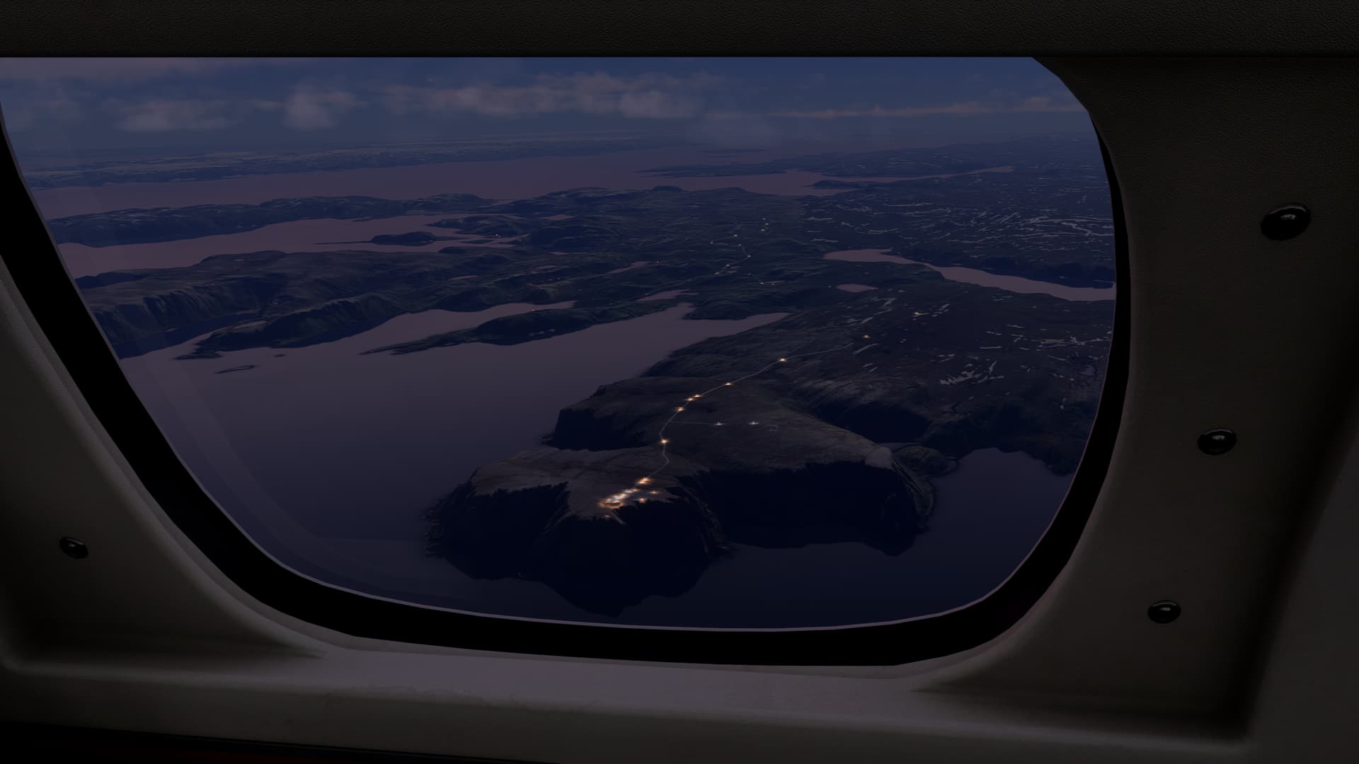
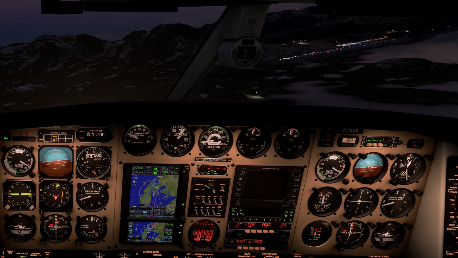
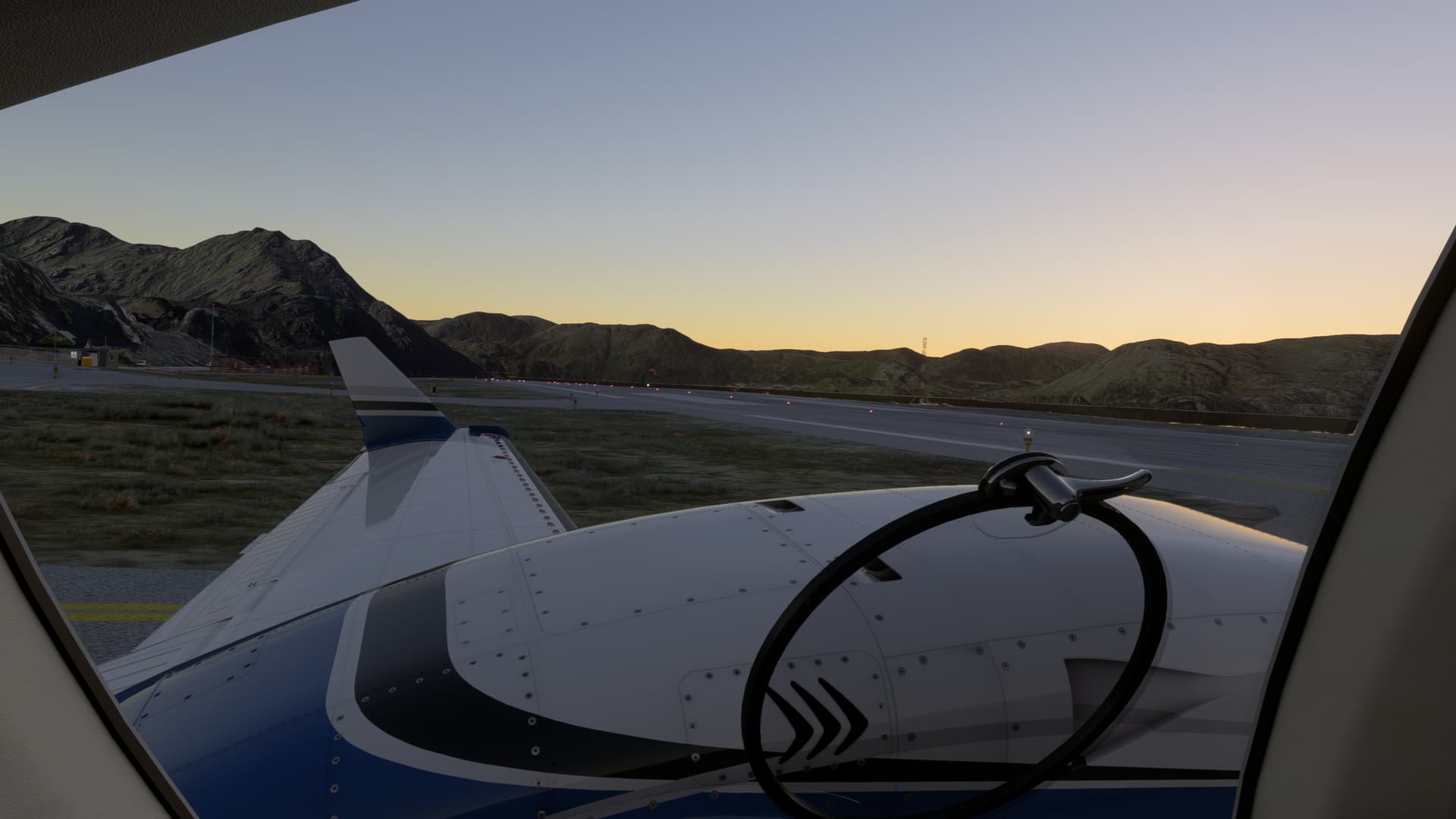
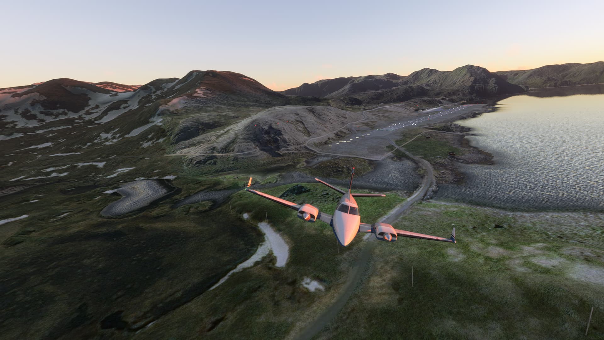
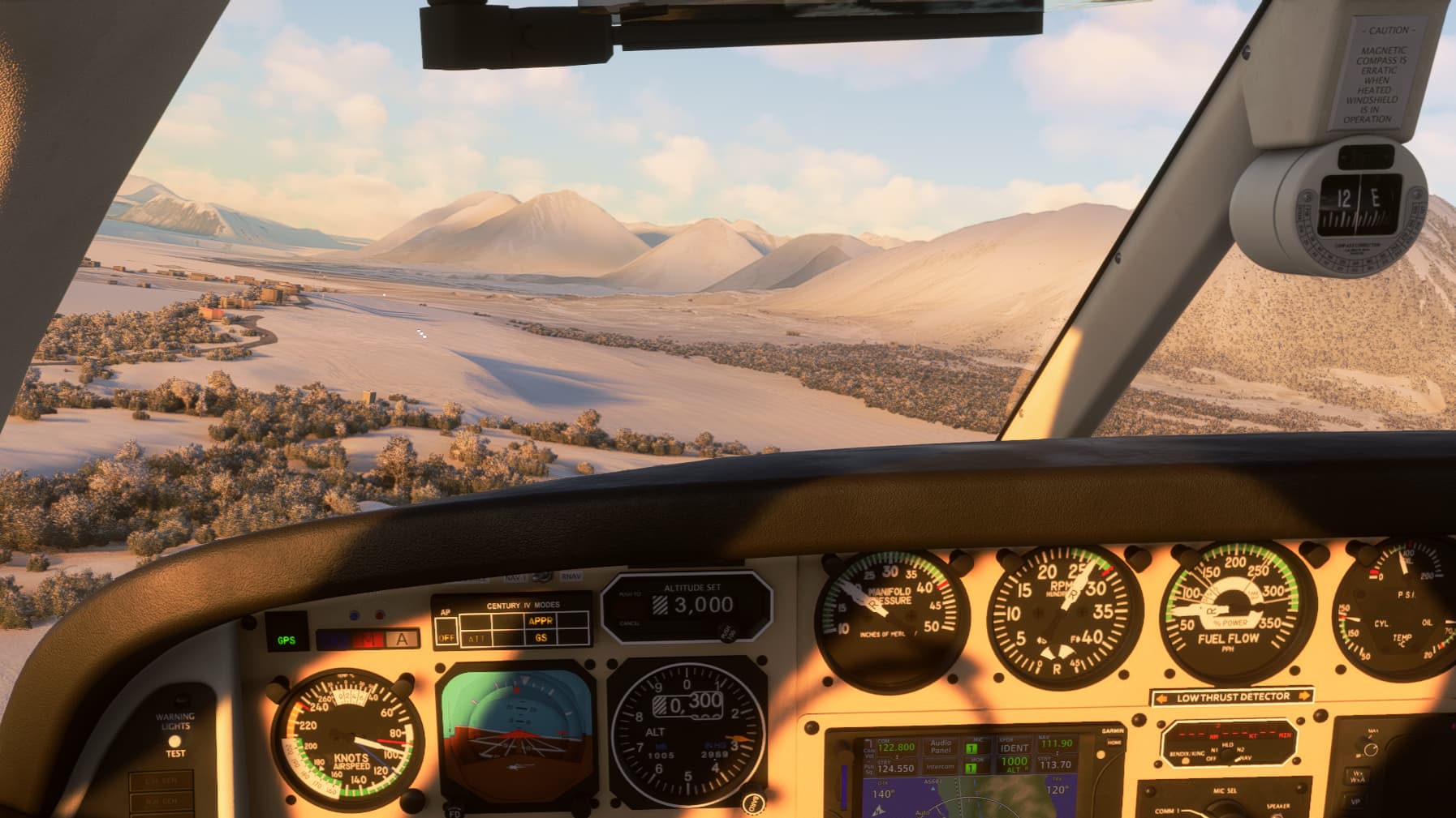
Getting closer in on the arrival, I started seeing the marine layer that was affecting Ålesund. Further inland, the weather was still great – it was just the coastal regsions that were in the soup. This was going to become interesting.

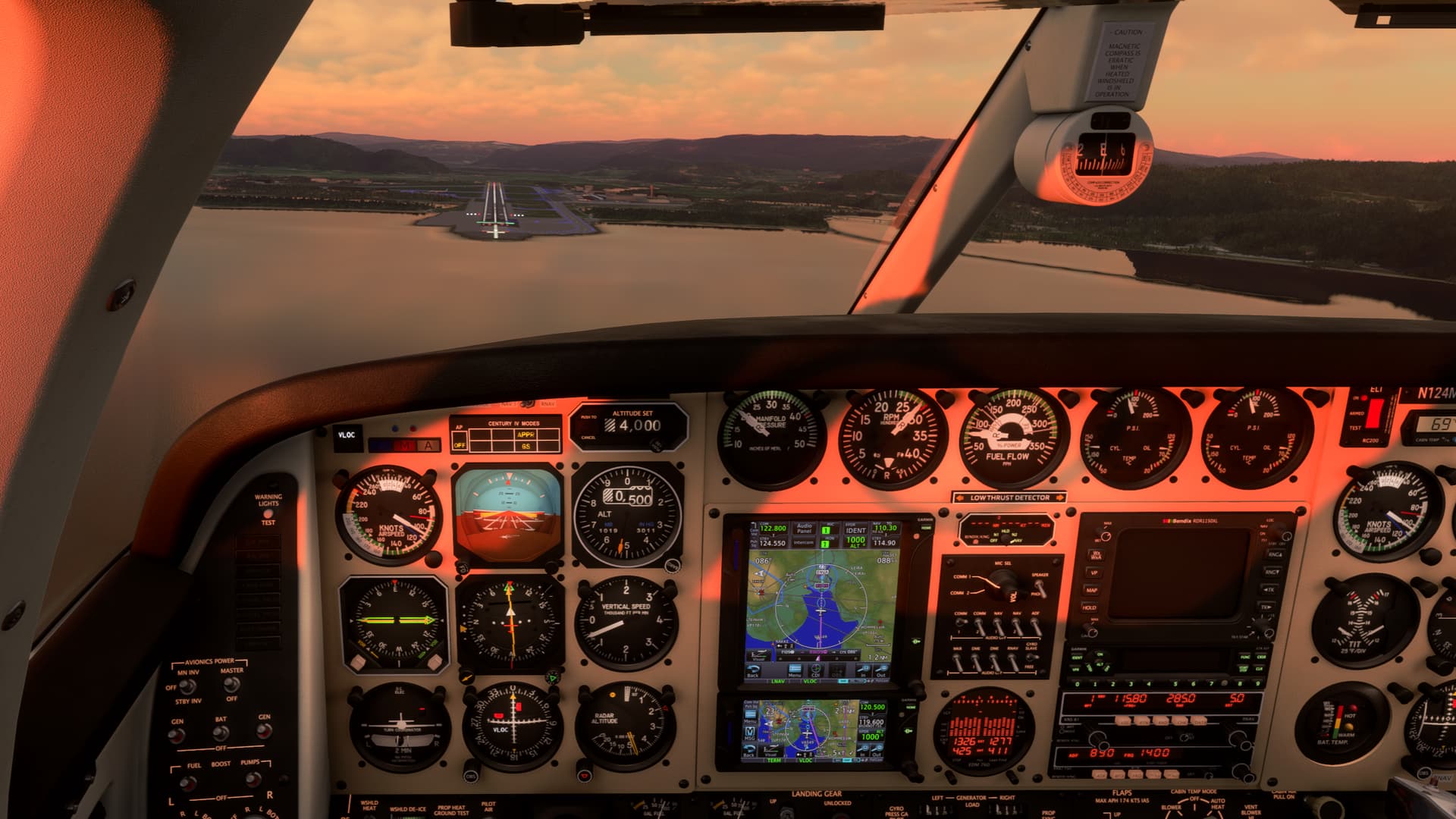
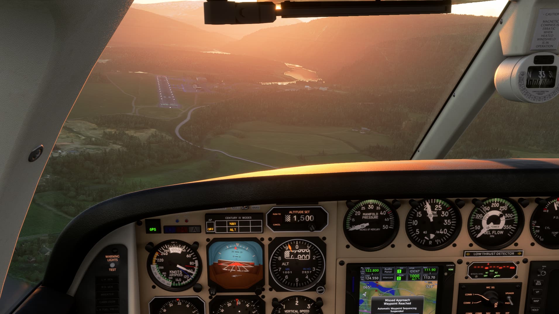
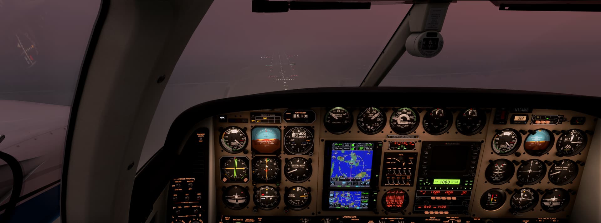
As I continued the approach, my avionics threw another curveball at me. For some reason, the approach mode on the autopilot would not activate. Fortunately, NAV mode did at least track the localizer, and I flew the glideslope in ATT mode, adjusting my vertical speed by hand to follow the glideslope.

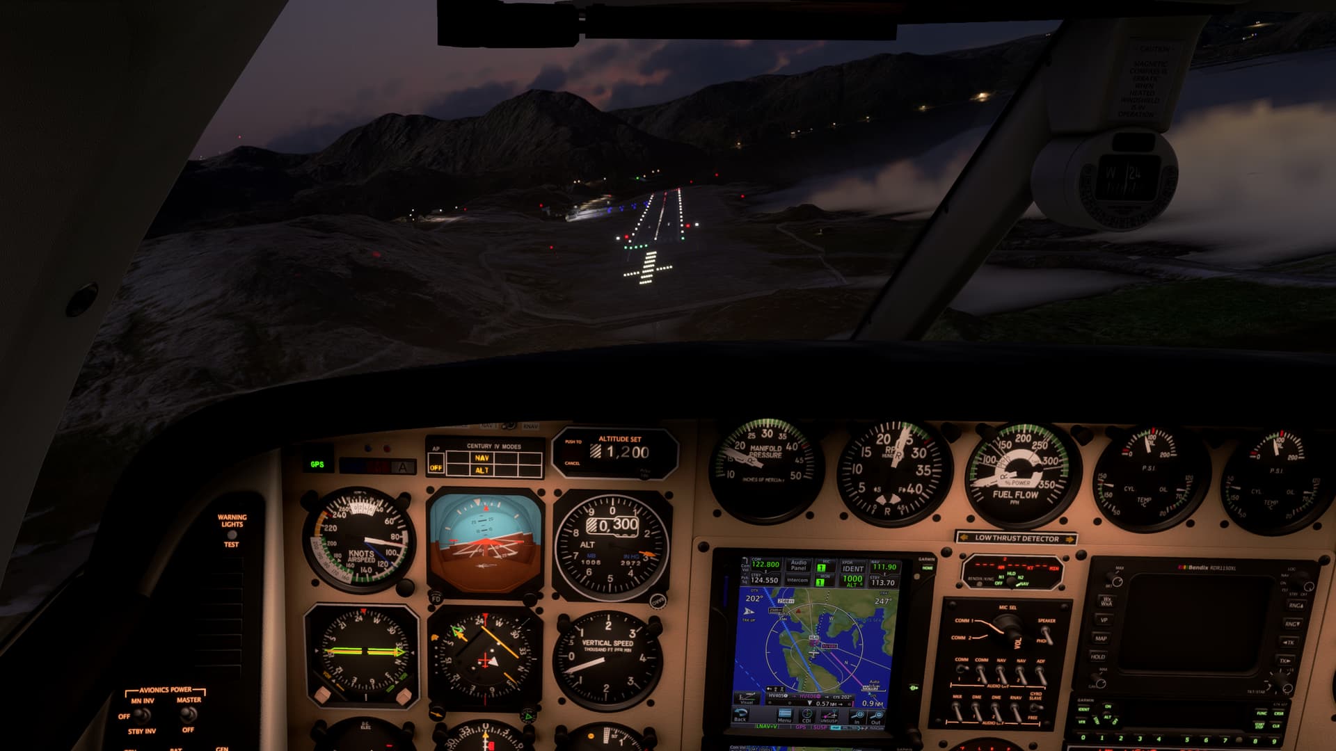
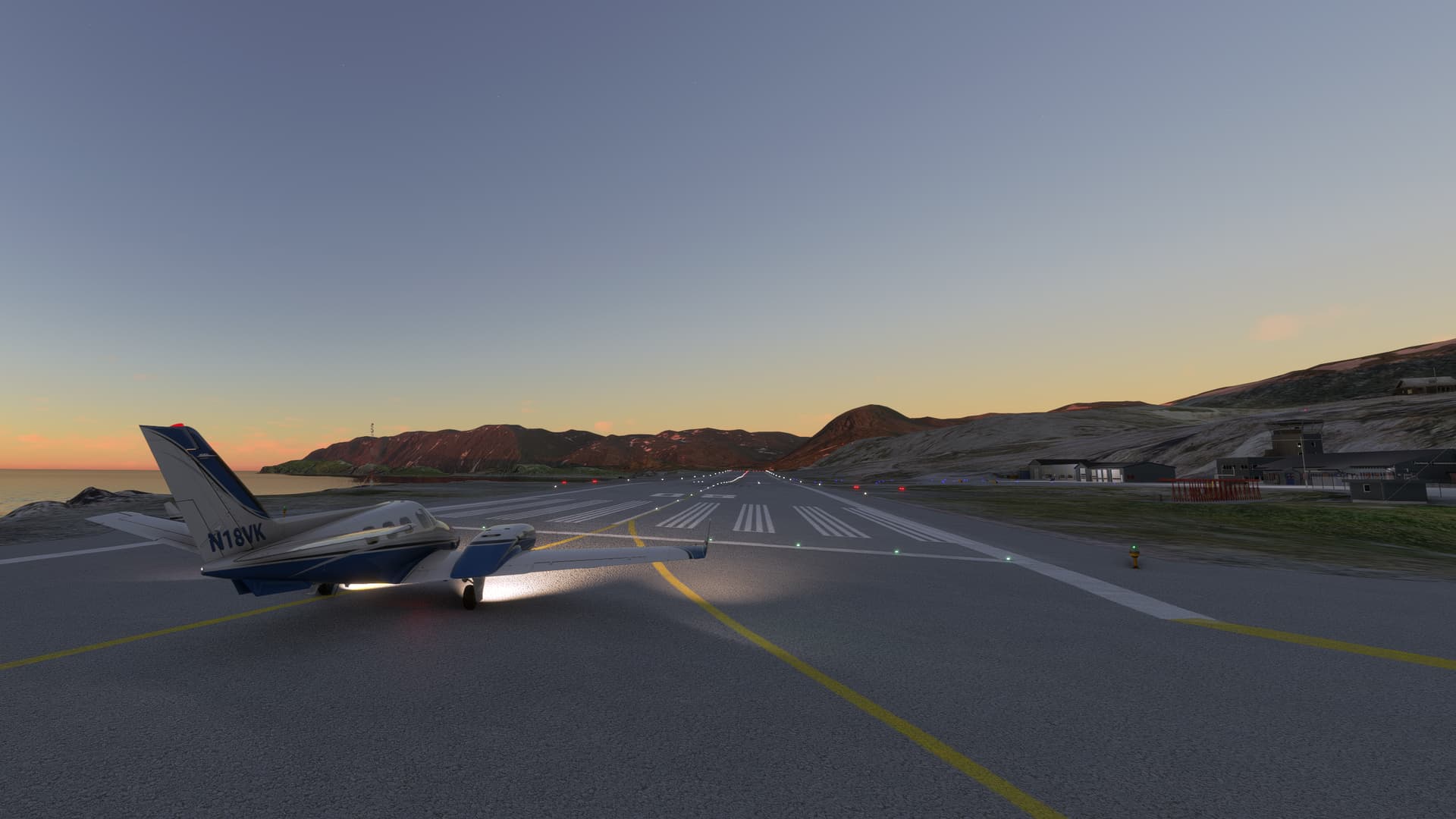
With the altimeter winding down, there was nothing outside but white. 600 feet. 500 feet. 400 feet. I was hair-triggered for the go-around. When I was already preparing to push the power forward, at 300 feet, suddenly the approach lights appeared in front of me. “Continue.”

It was almost disconcerting that I would now have to make a landing. Coming over the threshold, power to idle, hold her off, hold her off… touchdown. Nosewheel down, braking. A taxiline comes into view. Taxi off at taxiway D. Over the hold short line, come to a stop. Collect my thoughts.

Wow. We made it. An approach right down to minimums. I haven’t done many of those in MSFS.

But we’re not done yet. Run the after landing checklist, then make sure we don’t take a wrong turn in the murk. Seems like we were in the sun just moments ago – now everything is dark.

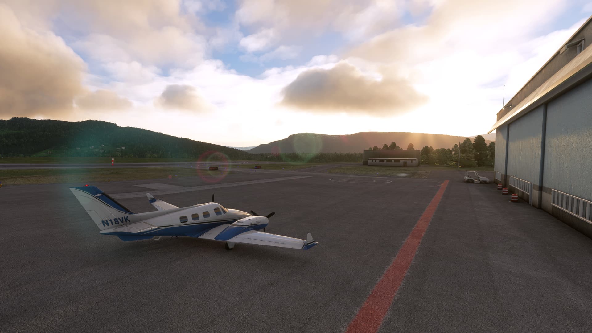
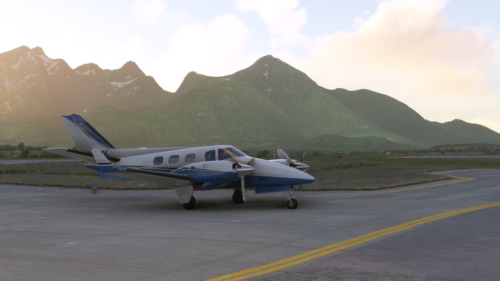
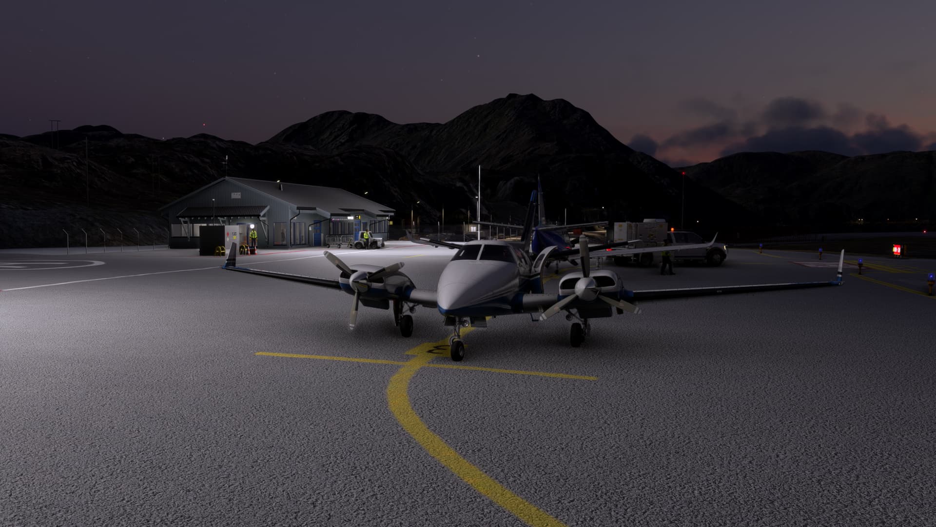
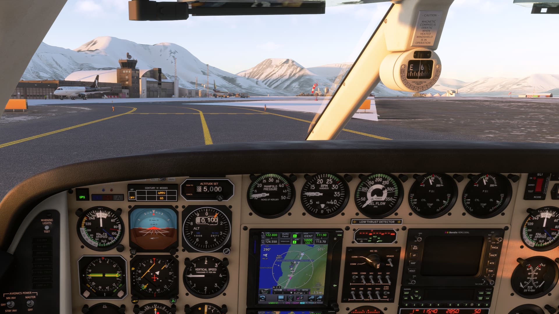
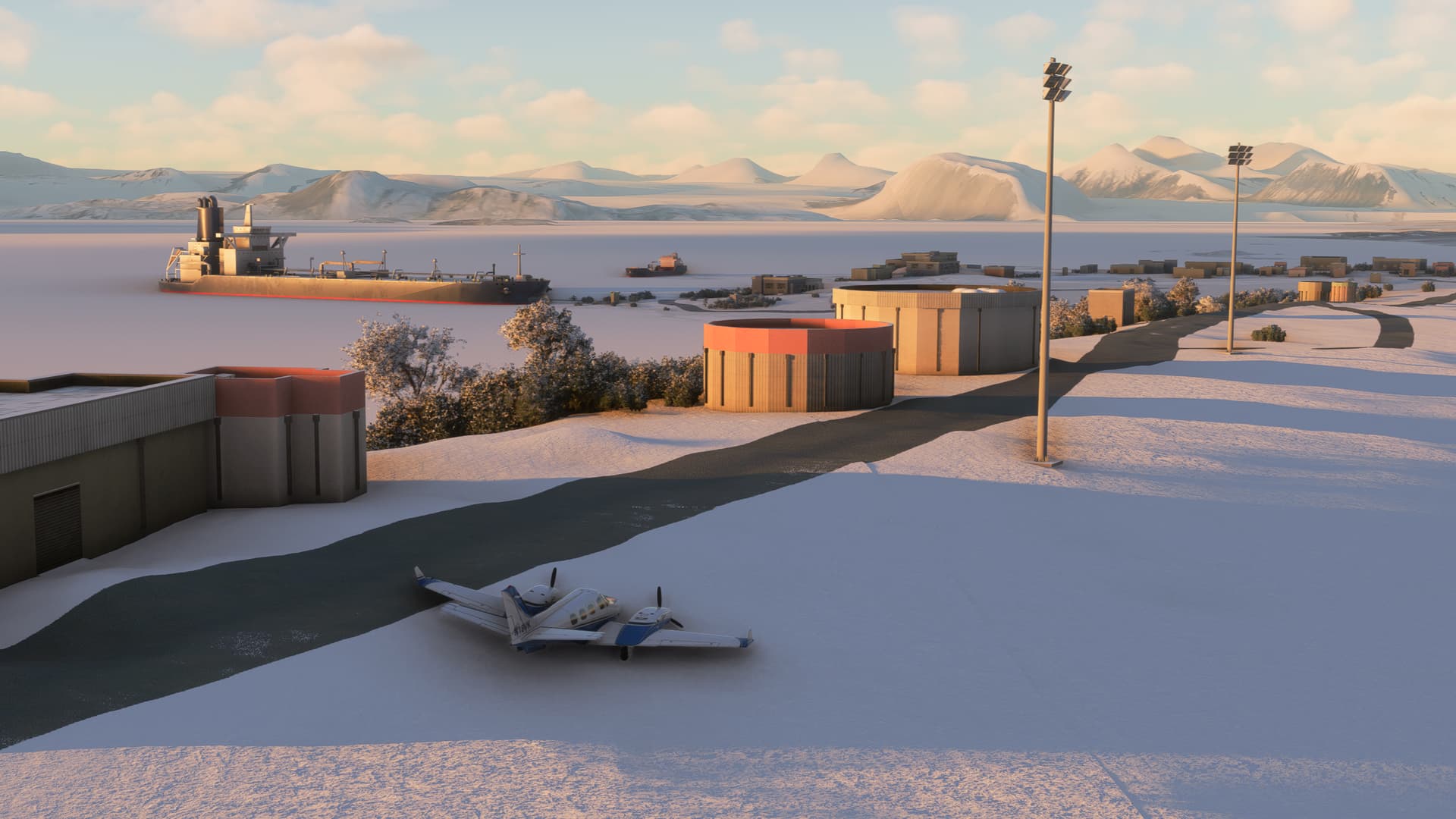
Taxi up on stand 10. Parking brake set. Get everything turned off. Mixtures to cutoff. Magnetos off. Generator off. Battery master off.

Breathe.

14 Likes

…and pizza! Not sure if they still make Norwegian stable food (Grandiosa) there though.

Thanks for sharing your experience, great storytelling and sumptuous screenshots! :ok_hand:t2:

1 Like

I didn’t realize that!

Glad you enjoyed the trip report.

I’ve decided to continue on and push further north, in search of the midnight sun.

Today’s leg was from Ålesund ENAL to Trondheim ENVA, a flight of only about 45 minutes. The weather forecast was benign for the most part, though with a chance of thunderstorms in Trondheim, so I made sure to bring plenty of extra fuel to keep my options open.

The combination of scenery, weather, and lighting today produced some really beautiful views, so this post will be mostly pictures. I tried hard to choose just the best ones.


Lined up for departure, runway 06. Godøya island is prominently visible in the background.


Gear up


Leaving the Ålesund area behind, with much better views this time


Overhead Molde ENML


Land and sea, steam and light


As the flight progressed, weather radar showed that the thunderstorms had thankfully not materialized, giving me more time to enjoy the views


In the descent


Trondheim in the setting sun


Airfield in sight


Short final runway 09


On the taxi-in

I haven’t yet decided which airport I want to go to next, but I’d like to keep the flights to about an hour, so maybe Mosjøen ENMS or, for a special challenge, Mo i Rana ENRA. The latter doesn’t have a straight-in approach, just a circling with a prescribed flight track. I’ll have to decide whether I feel up to that…

2 Likes

Great narrative, as always.

Keep 'em coming!

1 Like

Finally continued my journey today. My trusty Duke had been sitting in Trondheim for too long – aircraft engines want to be flown or they’ll start corroding, especially in this marine environment.

So where to? I decided to go for the special challenge of landing at Mo i Rana ENRA, and I discovered that it was added as a handcrafted airport in WU15, so that’s all the more reason to visit.

As I mentioned earlier, there is no straight-in approach – just an RNP A with a circle-to-land along a prescribed track. The final approach course is 066 degrees, but the runway orientation is 13/31. The missed approach point is south of the airport, so the approach to runway 31 is actually the easier one – it requires a left turn of a mere 110 degrees to line up with the runway. The circling to runway 13 requires you to overfly the airport to the northwest, then make a right-hand turn to line up with the runway, with mountains almost on all sides. Circling lights are provided for guidance (though I don’t believe they are modeled in the scenery).

Runway 31 seemed like enough of a challenge, so I was happy to see that the winds were forecast to be light today. To get an idea of what this approach looks like, here’s a video of a Widerøe Dash 8 flying it in rain and relatively low cloud. The pilots certainly earned their money that day.

Cloud cover would be light for most of the flight today, so I was again expecting some nice views. And I wasn’t going to need to rush my departure to make it to Mo i Rana in daylight. When I searched for “sunset Mo i Rana”, Google told me it would be at 00:47 am. That seems comfortable. Then I saw that, next to the “00:47 am”, it said “July 5”. Huh? Today is June 8. Why is Google telling me the sunset time for some random day almost a month from now?

Then it dawned on me.

The next sunset in Mo i Rana will occur in the early morning of July 5. Until then, the sun will continually remain above the horizon.

Wow.

Mind you, this doesn’t mean that Mo i Rana is north of the Arctic Circle. It’s close, but not quite there. Mo i Rana is at 66° 18′ N, and the Arctic only begins at 66° 34′ N. So why does Mo i Rana get midnight sun? As I understand it, the center of the sun’s disk might drop slightly below the horizon, but some portion of the sun remains visible, as the diameter of the sun subtends about half a degree in the sky.

Anyway. Let’s get going already. After all, this is the screenshot forum. Since I’ve waffled on for so long, I’ll let the pictures do most of the talking for the remainder of this post.


Taxiing out at Trondheim


Engine runup


Goodbye, Trondheim


Between layers on the departure


Bindalsfjorden and Tosenfjorden


Beginning the descent


In-flight entertainment system


Why would you be anywhere else?


On the approach. Mo i Rana is at the end of the fjord.


Airfield in sight.


Now we need to get down


Welcome to Mo i Rana


A Duke in the distance

My final approach ended up being steeper than I would have liked – I had underestimated how much altitude I would have to lose from the MDA to the threshold and how little space there would be. I had briefed for what I would do in case of a go-around after the MAP: Turn west along Langvatnet, then turn left to circle back over the town and bring it back for another attempt. But gear and flaps on the Duke provide a lot of drag, and I was on speed despite the relatively high rate of descent, so I was confident I would be able to stop on the relatively short runway – 872 meters, less than 3000 feet.

The next stop will be Leknes ENLK on Lofoten, and this leg will bring us into the Artic.

3 Likes

Today I crossed the Arctic Circle. From Mo i Rana ENRA I headed to Leknes ENLK in the Lofoten islands. My flight time was going to be only about an hour, heading north along the coast to Bodø and from there across the Vestfjord to the Lofoten archipelago.

Terrain was going to be just as much a factor getting out of Mo i Rana as it had been going into it. There are no SIDs, so my plan was to proceed visually until above the MSA of 6300 feet, then proceed direct to DISMU, the first point on my route. Luckily, the weather was good enough to permit this. I wonder how Widerøe handle this when ceilings are low – they must have had some procedures produced especially for them.

Winds were out of the west, so I planned for a departure from runway 31 at Mo i Rana and an arrival into runway 20 at Leknes.


Getting ready


Running up the engines


Backtracking on the runway


There is only 837 metres available for takeoff, so I want to use every bit of it


Ready to go


Staying over the water until I’m clear of the terrain


On the climbout – the lake is Kamplivatnet


Looking west out towards the North Sea


Meant to take a picture at the very moment we cross the Artic Circle at 66° 34’ N but was too busy watching the scenery – in any case, welcome to the Arctic


Overhead Bodø


Approaching the Lofoten islands


Rounding Haveren mountain on the RNP 20 approach


Established on the approach


The passengers get some of the best views


On short final


Parked up in Leknes


Getting ready to leave


Just cannot stop taking pictures

What a stunningly, painfully beautiful approach. I can’t wait for the next leg to Tromsø, which will take me across the entire Lofoten archipelago, with some more stunning views for sure.

2 Likes

Today’s leg would take me to Tromsø, the capital of the north. It is home both to the world’s northernmost university and the world’s northernmost cathedral, Tromsø domkirke – not to be confused with the Arctic Cathedral, which, despite its name and spectacular architecture, is not a cathedral but a parish church. Most of the city is located on Tromsøya island, which is situated picturesquely between mountains and fjords.

Tourism has boomed in recent years, and Tromsø is a popular destination for seeing both the northern lights and the midnight sun. Every summer, the port is busy with cruise ships.

Tromsø airport ENTC is located on the western side of Tromsøya island, with a single runway 18/36. Owing to the terrain, the approaches to both runway ends are steeper than usual, with a 4-degree glideslope in both directions.

The weather forecast for today was good: Some showers in the vicinity of Leknes, but otherwise only high-level cloud and CAVOK conditions in Tromsø, promising good views on the approach.


Preparing for departure


Running up the engines


Lined up and ready to go


Some showers on the departure track


Just after departure


Already picking up some spots of rain


Time to wash the Duke


On the climbout


Heading east over the Lofoten archipelago


Overhead Svolvær ENSH


Passing Stokmarknes ENSK


Cloudsurfing on the descent towards Tromsø


Tromsøya island coming into view in the distance


On the RNP runway 36 approach


Great views of the city. The bridge connects Tromsøya to the Tromsdalen neighborhood on the mainland.


Short final


Parked next to an SAS ATR 72

The next leg will take me to Honningsvåg Valan ENHV, located just south of the Nordkapp (North Cape), which I will of course have to circle before landing.

5 Likes

When I wrote my last post, I was confident that I wouldn’t see the sun set for the rest of my trip, as the next sunset in Tromsø was not going to be until 26 July, and even later at the remaining stops. Little did I realize that unexpected events would conspire to keep me from flying for the next six weeks.

Route
ENTC/36 LITPI3X LITPI GINEK Z203 HMF IDADA ULPAB LULEB DCT ENHV/26

I finally reunited with the Duke yesterday, 9 August, for the next leg to Honningsvåg ENHV. As usual, it was going to be a late departure for me. Sunset in Tromsø was going to be at 10:18 pm local time, and the sun would only rise again at 3:21 am. In Honningsvåg, a bit further north and significantly further to the east, sunset was going to be at 10:15 pm and sunrise at 2:22 am.


Hello, old friend, it’s really good to see you once again

It was already 10 pm when I got to the airplane, so was this going to be my first night flight on this trip? Not quite. Under EASA rules, night does not begin until the end of evening civil twilight (EECT), when the center of the sun is 6 degrees below the horizon. This won’t happen before 14 August in Tromsø and 18 August in Honningsvåg. So I had just gotten in under the wire to make this leg a daytime flight.


Lined up and ready to go

I took off from runway 36 in Tromsø. While the winds at 2600 feet were reported to be from the south, the surface winds were light and tended to be from the north, and taking off from runway 36 gave me a shorter routing.


Airborne


A view of Tromsø on the climbout


Sun still visible over the horizon half an hour after the sun was supposed to have set. Does MSFS model the effects of refraction and altitude?


A parting view of the Tromsø area


Abeam Sørkjosen ENSR


The island of Sørøya west of Hammerfest


Overhead Hammerfest

My route paralleled the northern coast of Norway, taking me directly over Hammerfest and then past the highlight of this leg, the Nordkapp (North Cape) on the island of Magerøya. The European highway E69, connected to the mainland via a tunnel, terminates here, making the Nordkapp the northernmost point of Europe that can be reached by car, though the neighboring Knivskjelodden cape lies slightly further to the north.


Approaching the island of Magerøya with the Nordkapp and our destination Honningsvåg

The route waypoint ULPAB lay just slightly to the north of the Nordkapp, and ATC approved a diversion to the north, allowing me to give my passengers a better view.


A view of the Nordkapp for my passengers seated on the right…


…and on the left


Rounding the tip of the European continent

The approach into Honningsvåg was going to be a challenge, too. Landing distance available is only 800 meters, and there are no straight-in approaches due to the terrain.

Here are two examples of Widerøe demonstrating their usual skill approaching Honningsvåg, both times to runway 08. Here is an approach by a single-engine piston aircraft to runway 26. Note how close the terrain on the left-hand side is on short final.

On my flight, the winds favored runway 26, so I planned for the RNP A approach. The MAP is only about a mile from the threshold, with an MDA of around 1200 feet above the airfield, so a direct descent from the MAP to the runway is impossible. I imagine a circle-to-land from the MAP should only be attempted if the pilot is intimately familiar with both the airfield and the aircraft.


On the approach - Honningsvåg is off the right wing

Fortunately, the weather was good, so I would be able to start a visual descent to the runway some distance before the MAP, and I would also be able to break off to the left to give myself a bit more room to manoeuvre. The airport has lead-in lights to assist with the circling, which are modelled in the excellent freeware scenery. I definitely appreciated the assistance in the fading light, but even so, my first approach was too high, and I went around. I repositioned visually for another attempt, and this time my vertical profile was better, and I completed the landing.


At the MDA, continuing visually


Approaching Honningsvåg on my first attempt, shortly before going around


Second attempt, turning in


Short final


Parked on stand. Technically, this is still daylight…

Chasing the midnight civil twilight may not sound as romantic as chasing the midnight sun, but I’ll take it. And if I can get the final leg in soon, there’s a chance I can still catch up with the midnight sun again. The next sunset in Longyearbyen in Svalbard will be on August 25.

3 Likes

Next stop: Svalbard.

Today’s leg was going to be different in a number of ways. It was significantly longer than the legs so far, mostly over water, and my destination was relatively isolated. So far, I had always had plenty of diversion airfields along my route, but Svalbard would not offer many options in this regard. In addition to my destination Longyearbyen ENSB, the only other airfield on the archipelago is Ny-Ålesund ENAS, with a fairly short gravel runway. Rather than rely on it, I planned Alta ENAT back on the mainland as my alternate. This was still within the range capability of the Grand Duke and gave me a lot more options.


Getting ready to head out over water

I planned to leave with full tanks and maximize my extra fuel by cruising at 55% power instead of the 75% I had been using on the previous legs. I also filed a direct routing instead of the airway originally suggested by my flight planning software, which cut the distance by more than 10%. This gave me a block fuel of exactly 200 gallons, leaving 32 gallons of extra fuel, good for about an hour at my cruise power setting.

Route
ENHV/08 RARAG ENSB/27

I planned my route direct to RARAG, the IAF for the RNP Z runway 27 approach, but the forecast called for the westerly wind to swing to a southeasterly direction, so there was a possibility I would need to switch to runway 09.


The sea beckons

The approaches at Longyearbyen are more or less straight-in, but terrain is a factor for the missed approaches, and this is particularly evident for the LOC runway 27 approach. The MDA for this approach depends strongly on the missed approach climb gradient (MACG) the aircraft can achieve. For an MACG of 4.0%, the MDA is 510 feet; if the aircraft can only achieve an MACG of 2.5%, the MDA increases to 1310 feet!

This is a good opportunity, then, to talk about the climb gradient that the Grand Duke can achieve. Here is a surprisingly accurate rule of thumb: To obtain the rate of climb for a climb gradient of 1%, take the ground speed in knots and simply replace the unit with feet per minute. For example, for a ground speed of 120 knots, a 1% climb gradient corresponds to 120 fpm. A 2% climb gradient then corresponds to 240 fpm, and so on.


Entering runway 08 to backtrack

The Grand Duke achieves an initial two-engine rate of climb of 2,050 fpm at a Vy of 126 knots. Assuming no wind and sea-level conditions, this corresponds to a climb gradient of 2,050 / 126 = 16.3%. Very impressive!

But what if an engine fails during the missed approach? Single-engine rate of climb is 370 fpm at a Vyse of 118 knots. Assuming ground speed equals Vyse, we obtain a climb gradient of 370 / 118 = 3.1%. Allowing some margin for tailwinds, I chose to use the MDA for the 2.5% MACG. In addition, I would make sure to delay gear and flap extension until a visual descent to the airfield was assured, so that I would be able to achieve the desired climb gradient from the beginning of the missed approach.

Fortunately, these considerations were academic today, as the weather was forecast to be CAVOK.


Ready for departure

I departed Honnigsvåg a bit earlier than the previous day. The sun was still above the horizon, and I wasn’t going to let it set on me today. Winds were from the east, so I took off from runway 08, with an immediate left turn to avoid terrain.


Immediate left turn after departure. Note red obstacle lights on the rock adjacent to short final runway 26.


Climbing out from Honningsvåg


Departing the Nordkapp northbound


Goodbye Magerøya

After a last look at the Nordkapp, I was out over the Barents Sea. For much of the flight, there wasn’t going to be much to see except water, but around the half-way mark, I passed Bjørnøya (Bear Island) off my left wing.


Bjørnøya off the left wing in the distance

Settlements have intermittently existed on Bjørnøya for fishing, whaling, and coal mining, but today the island’s only inhabitants are the staff of the weather station. The island has been a nature reserve since 2002.


Svalbard is closer to Greenland than to the Norwegian mainland


I’ll follow the sun

Approaching Svalbard, the sun was rising higher and higher in the sky. I was so fascinated by the views that I didn’t pay enough attention to my descent planning and found myself high on profile. ATC vectored me out to the east, giving me space to lose altitude and my passengers the opportunity to admire more of the unique landscape.


Views of Svalbard

The winds had not shifted as forecast and continued to favor runway 27, so ATC vectored me onto the RNP Z runway 27 approach. I had been hoping for an approach from this direction, as the final approach tracks the Adventdalen valley, and ships are often anchored under the final approach.


Vectors to final


Adventdalen with Longyearbyen at its end


Stunning views of the side valleys for the passengers


Final runway 27

It was just after midnight when I touched down. I had reclaimed the midnight sun, which bathed the airport and the surrounding mountains in golden light.


Welcome to Longyearbyen, where the local time is 12:05 am


Parked on the ramp


Basking in the midnight sun

By the way, the images in the sim aren’t really representative of summer in Svalbard. Like many regions, the simulated Svalbard gets too much snow in the warmer months. For comparison, here is a photo of Longyearbyen from July 2011:

Longyearbyen may sound like an unusual name for a Norwegian town. It is named after the American John Munro Longyear, who established the town in 1906 and started a coal mining operation here. Mining was the dominant activity for much of the town’s history, but the last mine in the outpost of Svea closed in 2020. Today, activity in Longyearbyen is centered around research and tourism.


Ready to take the bus into town


Can you spot the mistake? (hint)

I had originally planned to make Longyearbyen my last stop, but then it occurred to me: My first stop on this trip was Ålesund, so it would only be fitting to make the last stop Ny-Ålesund, some 60 miles northeast. So stay tuned for one last episode.

2 Likes

Final leg.

This was going to be just a short hop from Longyearbyen ENSB to Ny-Ålesund ENAS. These are the only two airfields in Svalbard; there used to be a third one, Svea ENSA, which served the Sveagruva coal mine, but the mine ceased operations in 2020, and the airfield closed in 2022. There are heliports at Barentsburg ENBA and Pyramiden ENPY, but of course these are of no use to us fixed-wing pilots.


Ready to go on the final leg

Ny-Ålesund was originally established as a mining town, but the mine was closed in 1963 after a series of fatal accidents. Today, it is a research settlement with around 35 permanent residents, increasing to over 100 in the summer.

The airfield, as indeed the entire settlement, is operated by Kings Bay, a company owned by the Norwegian state. It is served by regular flights from Longyearbyen using Dornier 228 aircraft. Other aircraft require prior agreement to land at the airfield, so I had to pull a few strings.


Runup complete

As the weather was good, I could simply have flown VFR for this short leg, but I decided to go IFR just as on all of the previous legs. Given Svalbard’s remote location, I decided that to be on the safe side, I would plan for an alternate on the mainland again, Alta ENAT.

Route
ENBR/09 GOLOL ENAS/12

I planned a route via the GOLOL intersection, where one of the SIDs from runway 27 terminates, but on the day, the winds were from the east. There is one SID from runway 09, but it leads away from Ny-Ålesund, so I decided to depart visually and pick up IFR in the air.


Lined up runway 09


In the left turn, with a nice view of Longyearbyen off the wing


On the climbout

The straight-line distance between the two airports is only about 60 miles, so shortly after levelling off I was already preparing for the approach. Around this point, I noticed that the EGTs on the right engine were running significantly hotter than on the left engine. I couldn’t really explain to myself why this was, but I brought the mixture on the right engine back to full rich and throttled back on both engines to keep the EGTs under control.


Overhead GOLOL, about 50 miles left to run

Soon, Kongsfjorden came into view, with Ny-Ålesund on its southern shore. The RNP approach to runway 12 had me looping around the mouth of the fjord, then turning back south-east towards the airfield. The final approach track is offset 30 degrees from the runway centreline due to terrain south of the approach, but in the visual conditions I was able to break off early to align myself with the runway.


Kongsfjorden, with the airfield already visible in the distance


Abeam Ny-Ålesund on the approach


Base leg requires a steep descent, so I’m already fully configured


Turning final

The runway is 800 metres of gravel, but as I approached, I could see that, despite the summer temperatures, the simulator had yet again covered it and the surroundings in a generous amount of snow. I was grateful for the approach and runway lights, or it would have been hard to pick out the runway.


Final approach is offset about 30 degrees from centreline, airfield is at the top left


Short final – can you see the runway?

Despite the snow, I managed to get the Duke stopped in time. Taxiing to the apron was more of a challenge. The airfield addon was created before World Update XV, and it appears that the update changed the terrain mesh, placing the apron on a steep slope. But I wasn’t going to be thwarted on the final metres, and with a good burst of power, I made it up the slope and onto a piece of fairly flat terrain. When I checked my references later, I found that the snow had deceived me and the apron I thought I had parked on was in fact just a patch of dirt in front of the Japanese research station. Ah well. The Duke took it all in its stride.


Parked somewhere near the apron, Ny-Ålesund in the distance

After shutting down, I did some troubleshooting to find the reason for the elevated EGTs I had observed during the flight. I discovered that one of the magnetos on the right engine had failed. This causes combustion to proceed more slowly, and the exhaust gases therefore have less time to cool and are hotter when they leave the cylinder. I’ll keep this in mind in case I ever see elevated EGTs in flight again.

In any case, welcome to Ny-Ålesund, at a latitude of 78°55′30″N. If you’re wondering what it’s like to live in such a remote location, this video gives a good impression:

The following video showcases the work that some of the scientists there do, and it also explains what the radio telescope on the airfield is used for:

When I set out on my first leg to Ålesund, I never imagined that I would eventually end up in Ny-Ålesund instead. Thank you for joining me on this amazing journey. I’ve learned a lot, seen some unique sights, and had a lot of fun along the way. I hope you have, too.

2 Likes

I’m still here.

I was going to stay for a few hours. Walk around town, take some photos, maybe buy a souvenir. Then take off again for places south.

They offered me a room for the night. I stayed. Met people over dinner. I explored more in the morning. I saw untouched wilderness in every direction. Mountains, glaciers, lakes, the sea. I saw that nature was big and I was small. I stayed another night. I saw geese, foxes, gulls, and seals. I saw the tenacious shrubs of the arctic tundra. I stayed on. I saw the dedication it takes to keep this place going. I saw the camaraderie of the people who do it. I saw a town where everyone knows everyone. Where I now knew everyone.

I embarked on my own research project: To learn as much as I could about this place and to recreate it, however imperfectly, in digital form. I learned about the coal miners and their dirty, dangerous work. I learned about the explorers who pushed ever further north. I learned about the tragedy in the deep. I learned about a town that started anew.

My work here is now done. Soon, I will get in the Duke again, fire up the Lycomings, speed down the gravel strip, and take flight into the cool arctic air. I will take one last look at the colourful houses bathing in the golden sunshine of a polar summer. With every mile that I recede, Ny-Ålesund will be tugging at my heartstrings, urging me to turn back. I cannot stay, I have a home elsewhere. But Ny-Ålesund is in me now.

I hope to be back. Maybe even for real some day.

3 Likes