Final leg.
This was going to be just a short hop from Longyearbyen ENSB to Ny-Ålesund ENAS. These are the only two airfields in Svalbard; there used to be a third one, Svea ENSA, which served the Sveagruva coal mine, but the mine ceased operations in 2020, and the airfield closed in 2022. There are heliports at Barentsburg ENBA and Pyramiden ENPY, but of course these are of no use to us fixed-wing pilots.
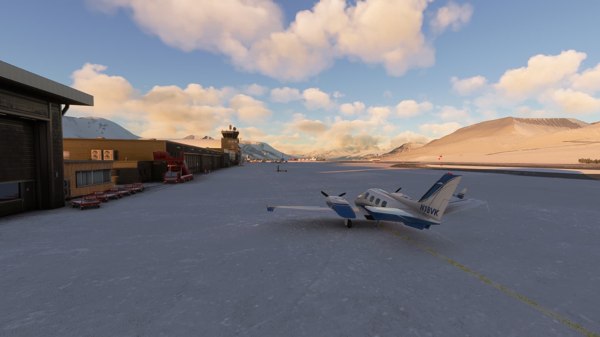
Ready to go on the final leg
Ny-Ålesund was originally established as a mining town, but the mine was closed in 1963 after a series of fatal accidents. Today, it is a research settlement with around 35 permanent residents, increasing to over 100 in the summer.
The airfield, as indeed the entire settlement, is operated by Kings Bay, a company owned by the Norwegian state. It is served by regular flights from Longyearbyen using Dornier 228 aircraft. Other aircraft require prior agreement to land at the airfield, so I had to pull a few strings.
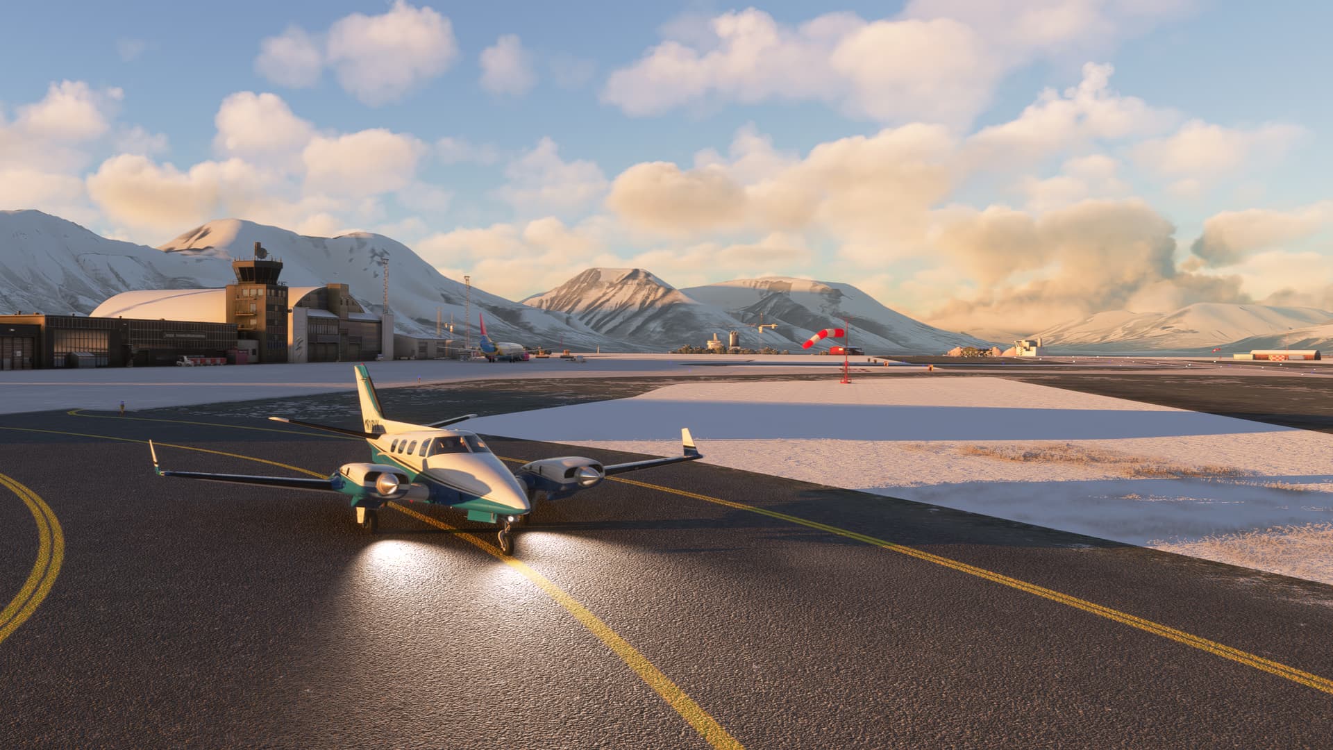
Runup complete
As the weather was good, I could simply have flown VFR for this short leg, but I decided to go IFR just as on all of the previous legs. Given Svalbard’s remote location, I decided that to be on the safe side, I would plan for an alternate on the mainland again, Alta ENAT.
Route
ENBR/09 GOLOL ENAS/12
I planned a route via the GOLOL intersection, where one of the SIDs from runway 27 terminates, but on the day, the winds were from the east. There is one SID from runway 09, but it leads away from Ny-Ålesund, so I decided to depart visually and pick up IFR in the air.
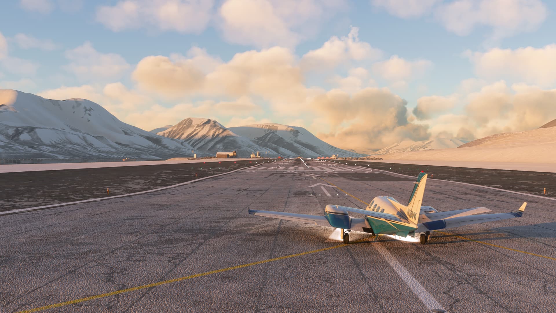
Lined up runway 09
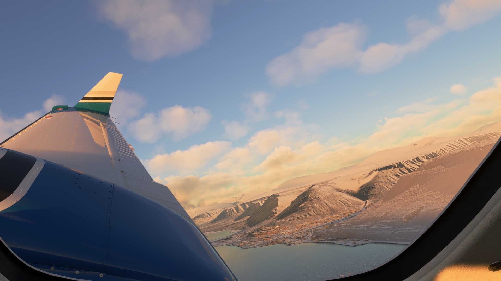
In the left turn, with a nice view of Longyearbyen off the wing
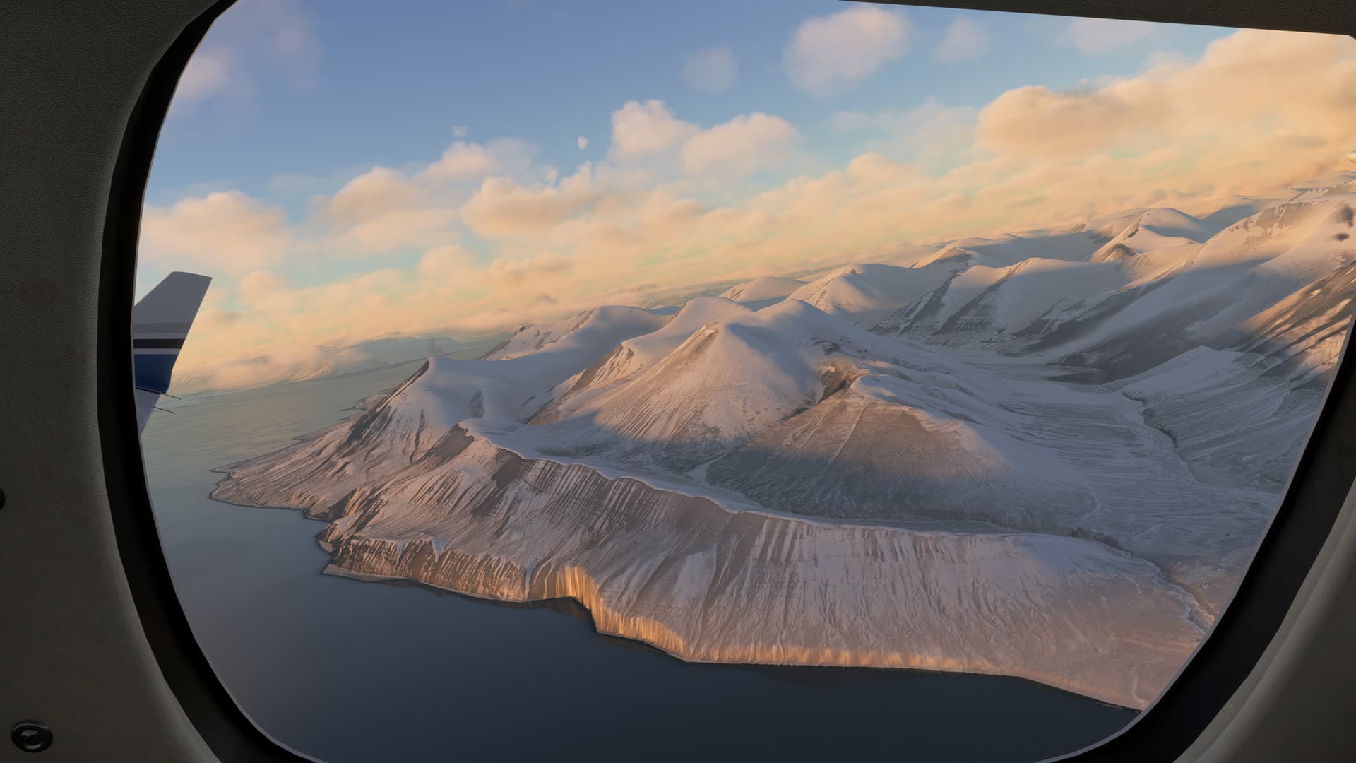
On the climbout
The straight-line distance between the two airports is only about 60 miles, so shortly after levelling off I was already preparing for the approach. Around this point, I noticed that the EGTs on the right engine were running significantly hotter than on the left engine. I couldn’t really explain to myself why this was, but I brought the mixture on the right engine back to full rich and throttled back on both engines to keep the EGTs under control.
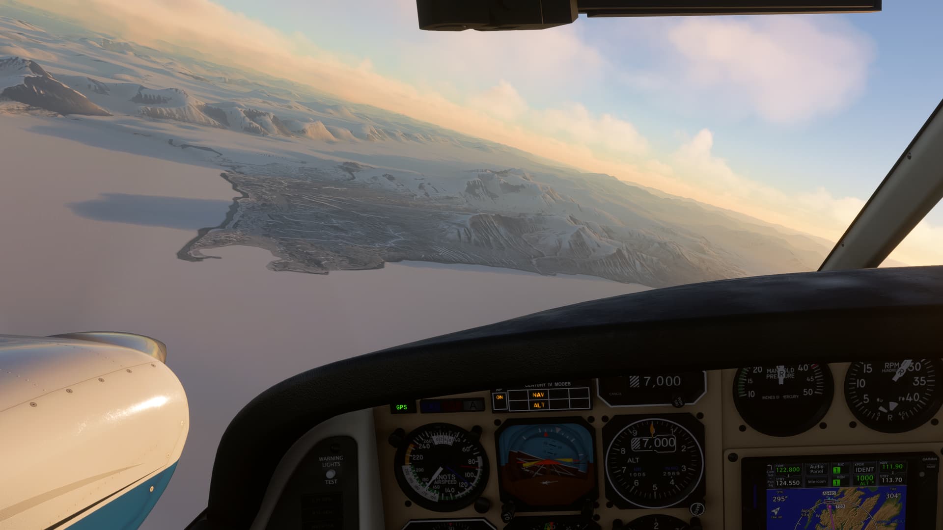
Overhead GOLOL, about 50 miles left to run
Soon, Kongsfjorden came into view, with Ny-Ålesund on its southern shore. The RNP approach to runway 12 had me looping around the mouth of the fjord, then turning back south-east towards the airfield. The final approach track is offset 30 degrees from the runway centreline due to terrain south of the approach, but in the visual conditions I was able to break off early to align myself with the runway.
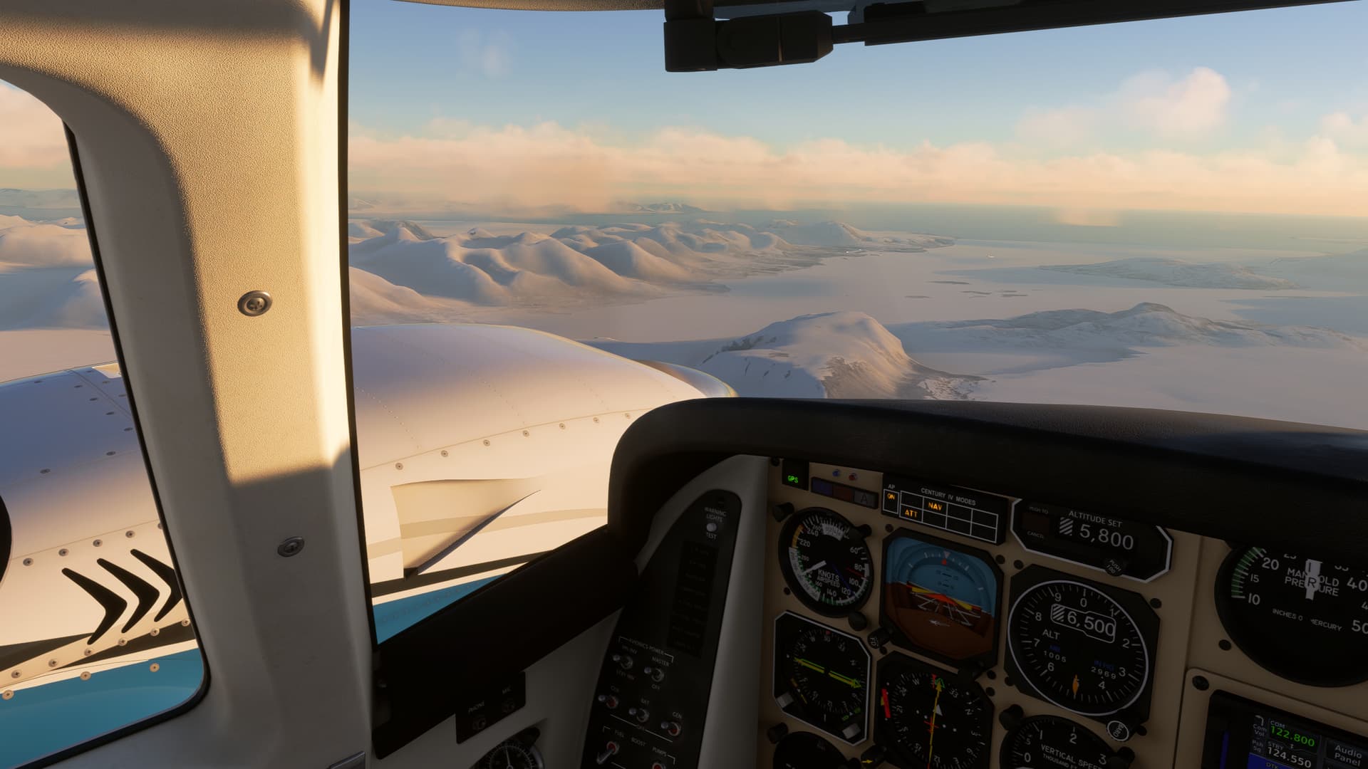
Kongsfjorden, with the airfield already visible in the distance
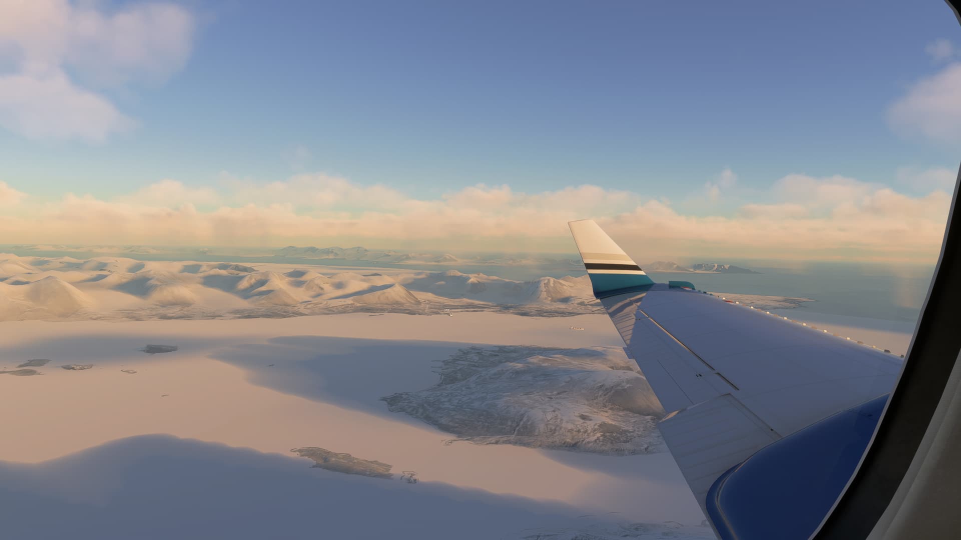
Abeam Ny-Ålesund on the approach

Base leg requires a steep descent, so I’m already fully configured
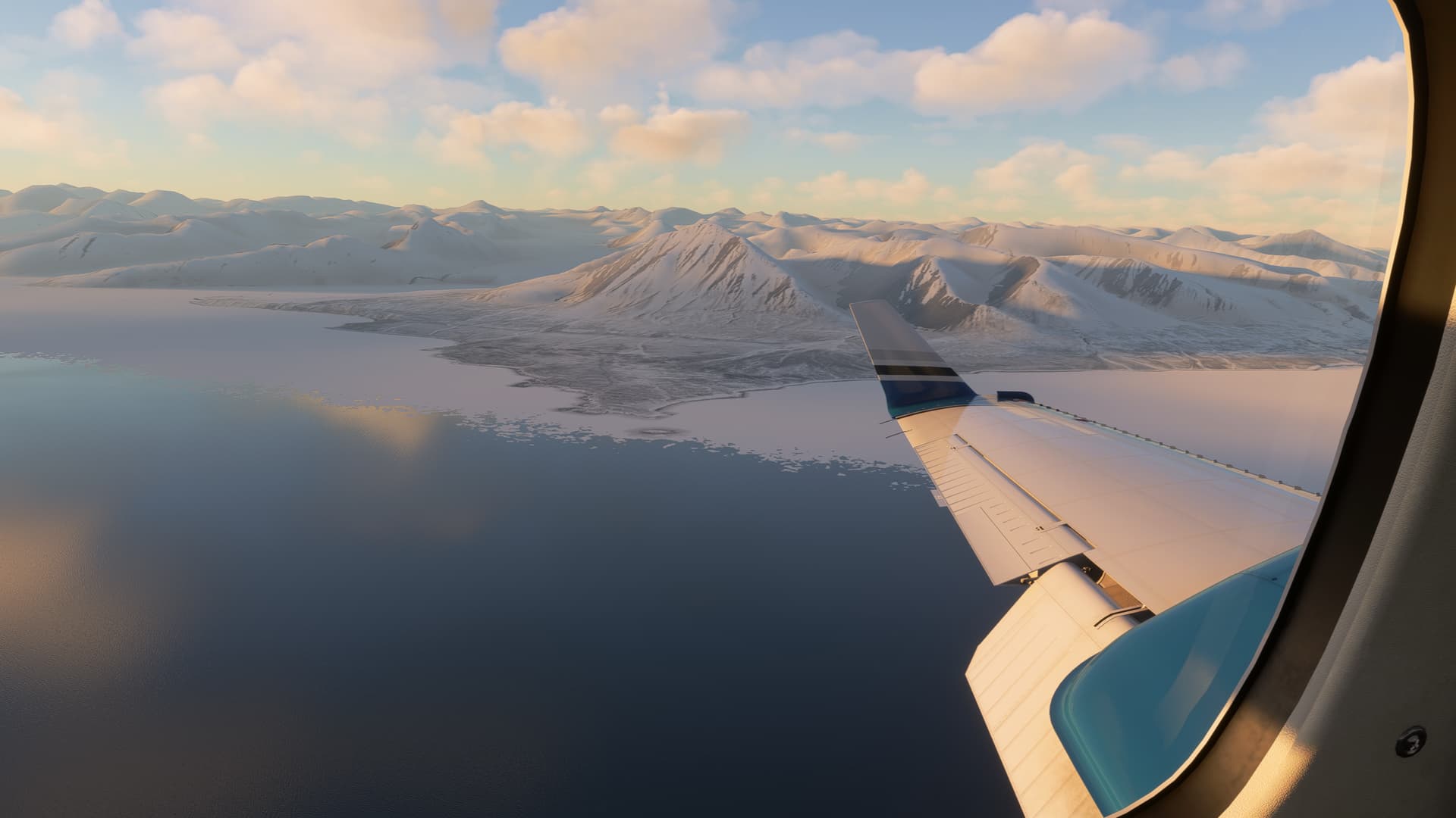
Turning final
The runway is 800 metres of gravel, but as I approached, I could see that, despite the summer temperatures, the simulator had yet again covered it and the surroundings in a generous amount of snow. I was grateful for the approach and runway lights, or it would have been hard to pick out the runway.
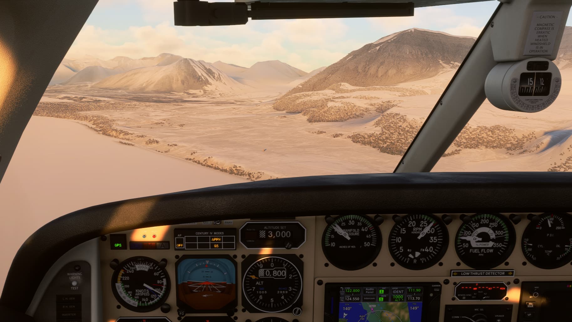
Final approach is offset about 30 degrees from centreline, airfield is at the top left
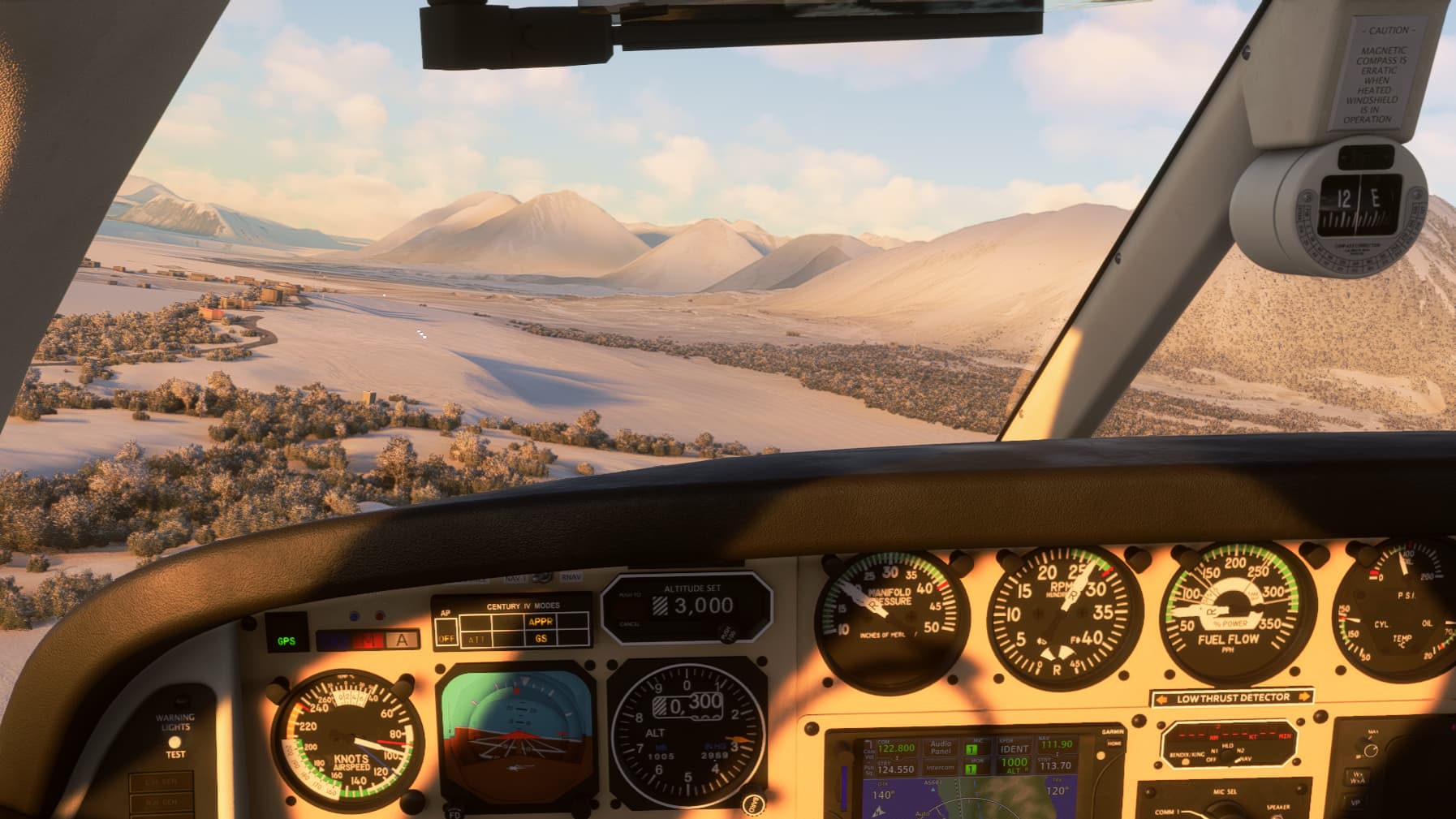
Short final – can you see the runway?
Despite the snow, I managed to get the Duke stopped in time. Taxiing to the apron was more of a challenge. The airfield addon was created before World Update XV, and it appears that the update changed the terrain mesh, placing the apron on a steep slope. But I wasn’t going to be thwarted on the final metres, and with a good burst of power, I made it up the slope and onto a piece of fairly flat terrain. When I checked my references later, I found that the snow had deceived me and the apron I thought I had parked on was in fact just a patch of dirt in front of the Japanese research station. Ah well. The Duke took it all in its stride.
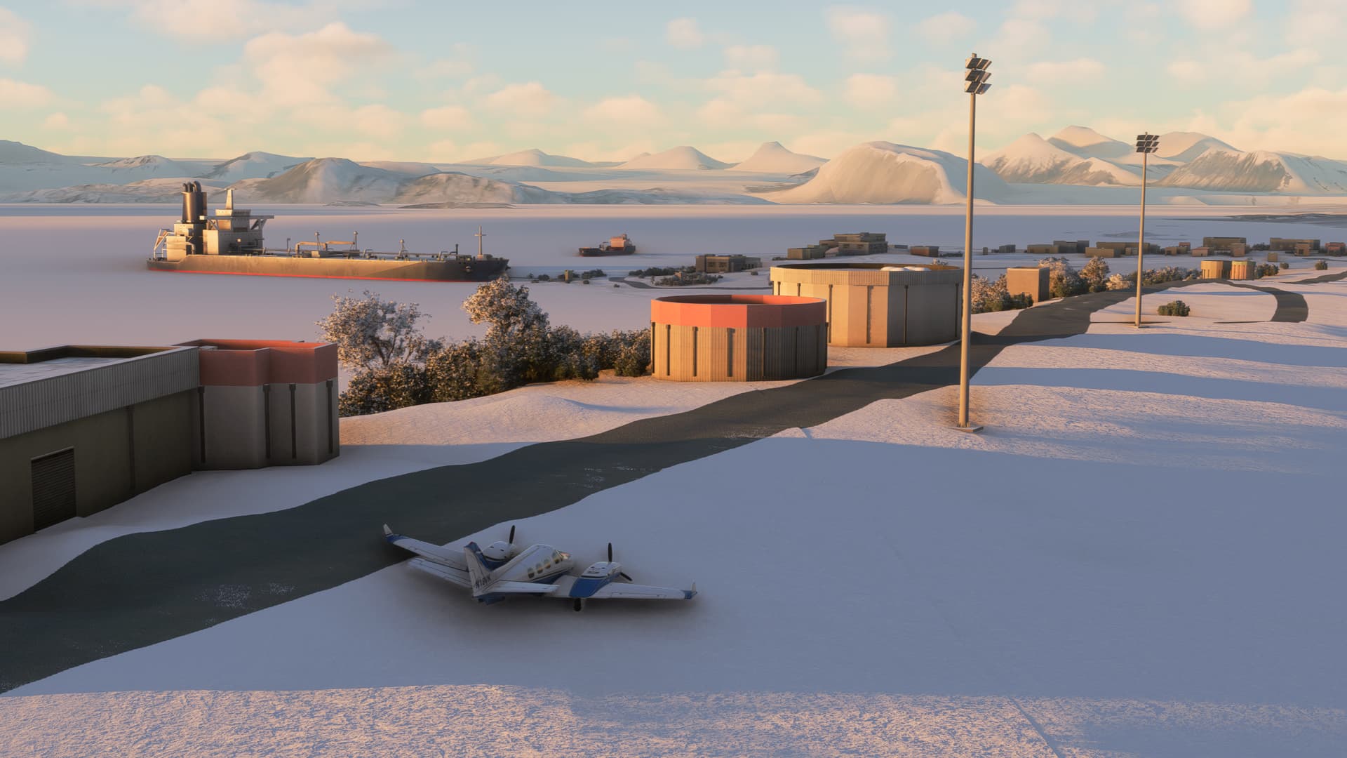
Parked somewhere near the apron, Ny-Ålesund in the distance
After shutting down, I did some troubleshooting to find the reason for the elevated EGTs I had observed during the flight. I discovered that one of the magnetos on the right engine had failed. This causes combustion to proceed more slowly, and the exhaust gases therefore have less time to cool and are hotter when they leave the cylinder. I’ll keep this in mind in case I ever see elevated EGTs in flight again.
In any case, welcome to Ny-Ålesund, at a latitude of 78°55′30″N. If you’re wondering what it’s like to live in such a remote location, this video gives a good impression:

The following video showcases the work that some of the scientists there do, and it also explains what the radio telescope on the airfield is used for:

When I set out on my first leg to Ålesund, I never imagined that I would eventually end up in Ny-Ålesund instead. Thank you for joining me on this amazing journey. I’ve learned a lot, seen some unique sights, and had a lot of fun along the way. I hope you have, too.