Finally continued my journey today. My trusty Duke had been sitting in Trondheim for too long – aircraft engines want to be flown or they’ll start corroding, especially in this marine environment.
So where to? I decided to go for the special challenge of landing at Mo i Rana ENRA, and I discovered that it was added as a handcrafted airport in WU15, so that’s all the more reason to visit.
As I mentioned earlier, there is no straight-in approach – just an RNP A with a circle-to-land along a prescribed track. The final approach course is 066 degrees, but the runway orientation is 13/31. The missed approach point is south of the airport, so the approach to runway 31 is actually the easier one – it requires a left turn of a mere 110 degrees to line up with the runway. The circling to runway 13 requires you to overfly the airport to the northwest, then make a right-hand turn to line up with the runway, with mountains almost on all sides. Circling lights are provided for guidance (though I don’t believe they are modeled in the scenery).
Runway 31 seemed like enough of a challenge, so I was happy to see that the winds were forecast to be light today. To get an idea of what this approach looks like, here’s a video of a Widerøe Dash 8 flying it in rain and relatively low cloud. The pilots certainly earned their money that day.
Cloud cover would be light for most of the flight today, so I was again expecting some nice views. And I wasn’t going to need to rush my departure to make it to Mo i Rana in daylight. When I searched for “sunset Mo i Rana”, Google told me it would be at 00:47 am. That seems comfortable. Then I saw that, next to the “00:47 am”, it said “July 5”. Huh? Today is June 8. Why is Google telling me the sunset time for some random day almost a month from now?
Then it dawned on me.
The next sunset in Mo i Rana will occur in the early morning of July 5. Until then, the sun will continually remain above the horizon.
Wow.
Mind you, this doesn’t mean that Mo i Rana is north of the Arctic Circle. It’s close, but not quite there. Mo i Rana is at 66° 18′ N, and the Arctic only begins at 66° 34′ N. So why does Mo i Rana get midnight sun? As I understand it, the center of the sun’s disk might drop slightly below the horizon, but some portion of the sun remains visible, as the diameter of the sun subtends about half a degree in the sky.
Anyway. Let’s get going already. After all, this is the screenshot forum. Since I’ve waffled on for so long, I’ll let the pictures do most of the talking for the remainder of this post.
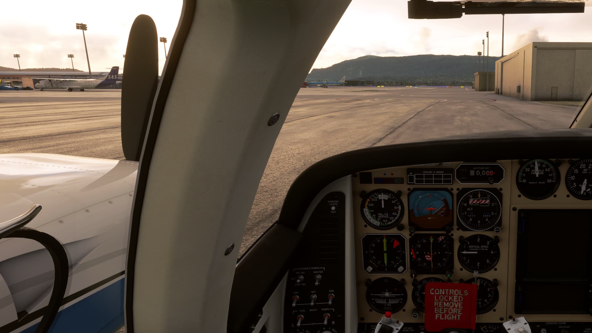
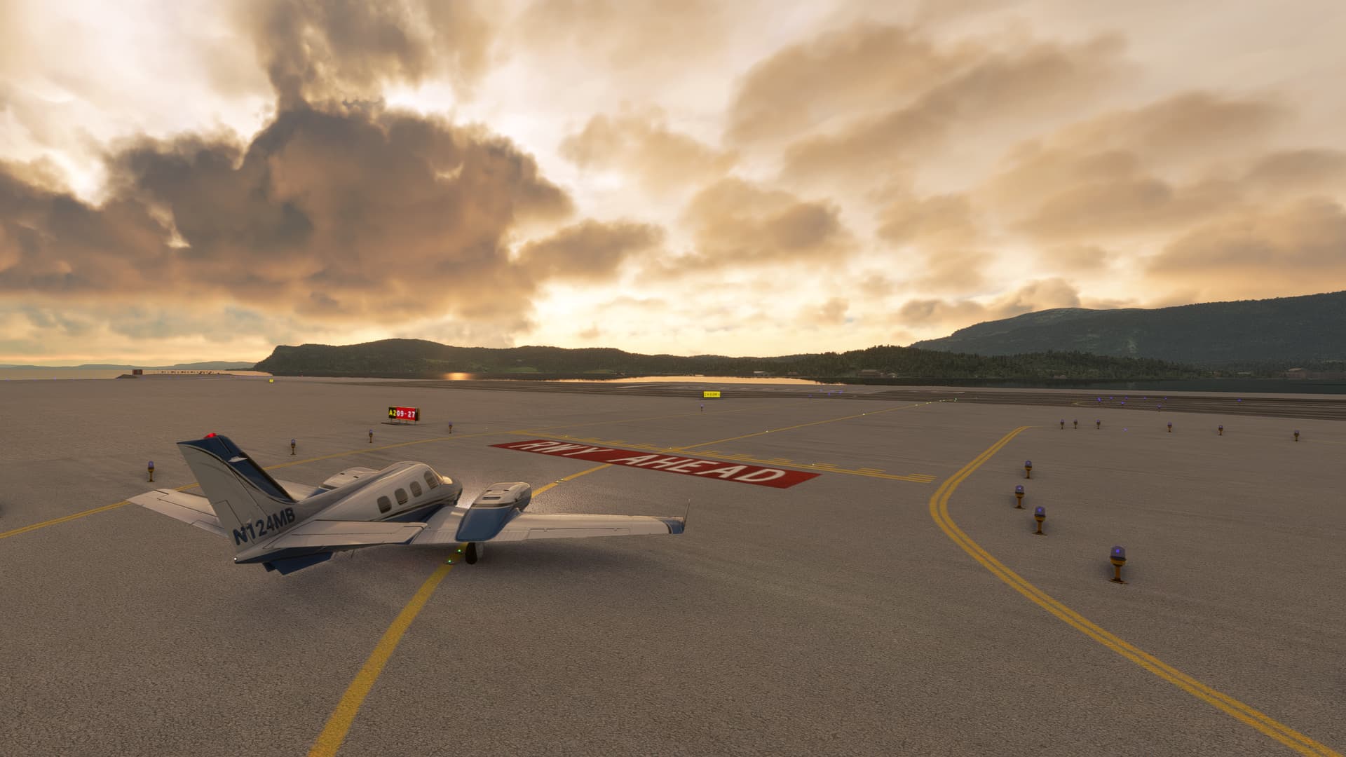
Taxiing out at Trondheim
Engine runup
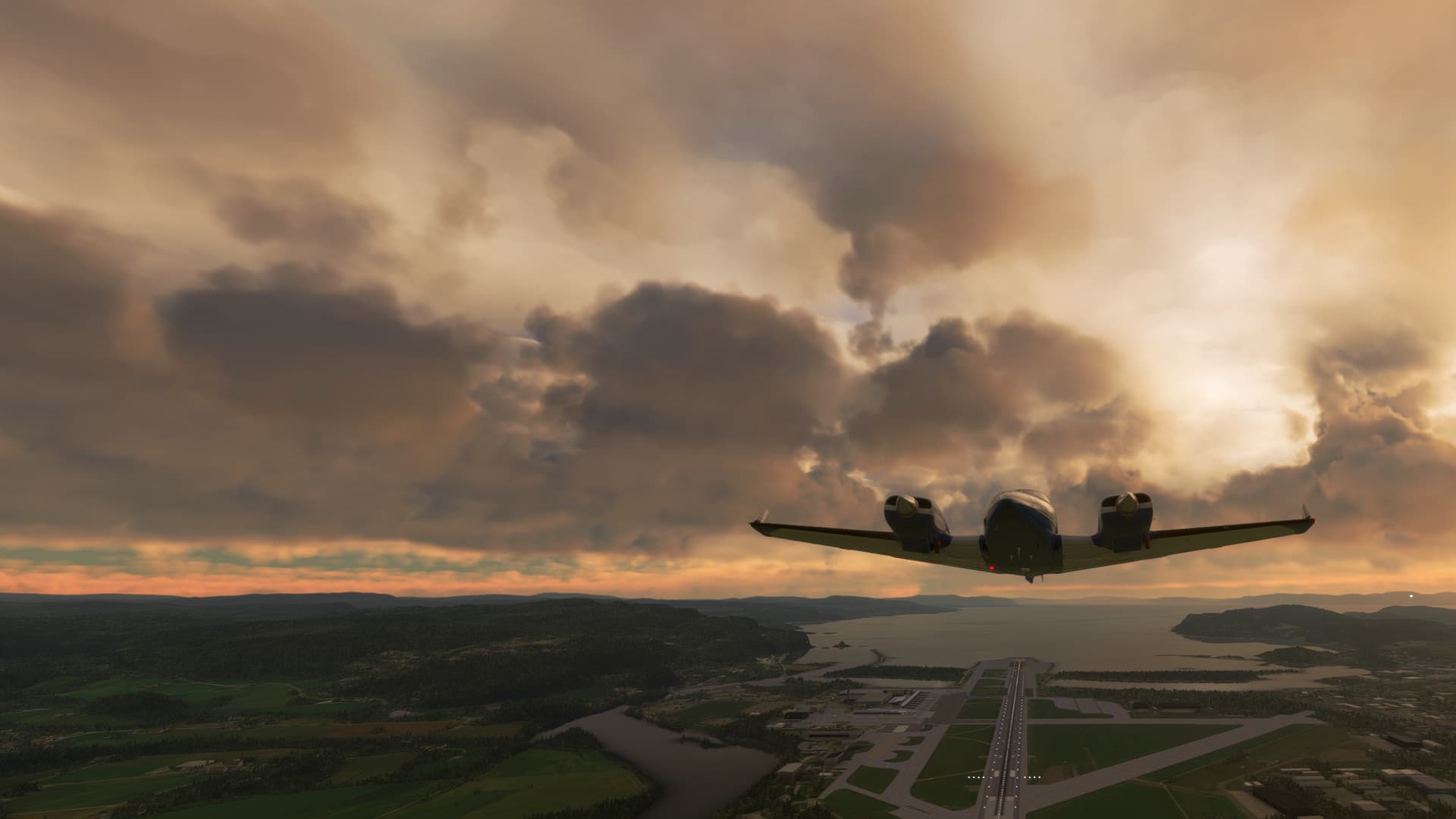
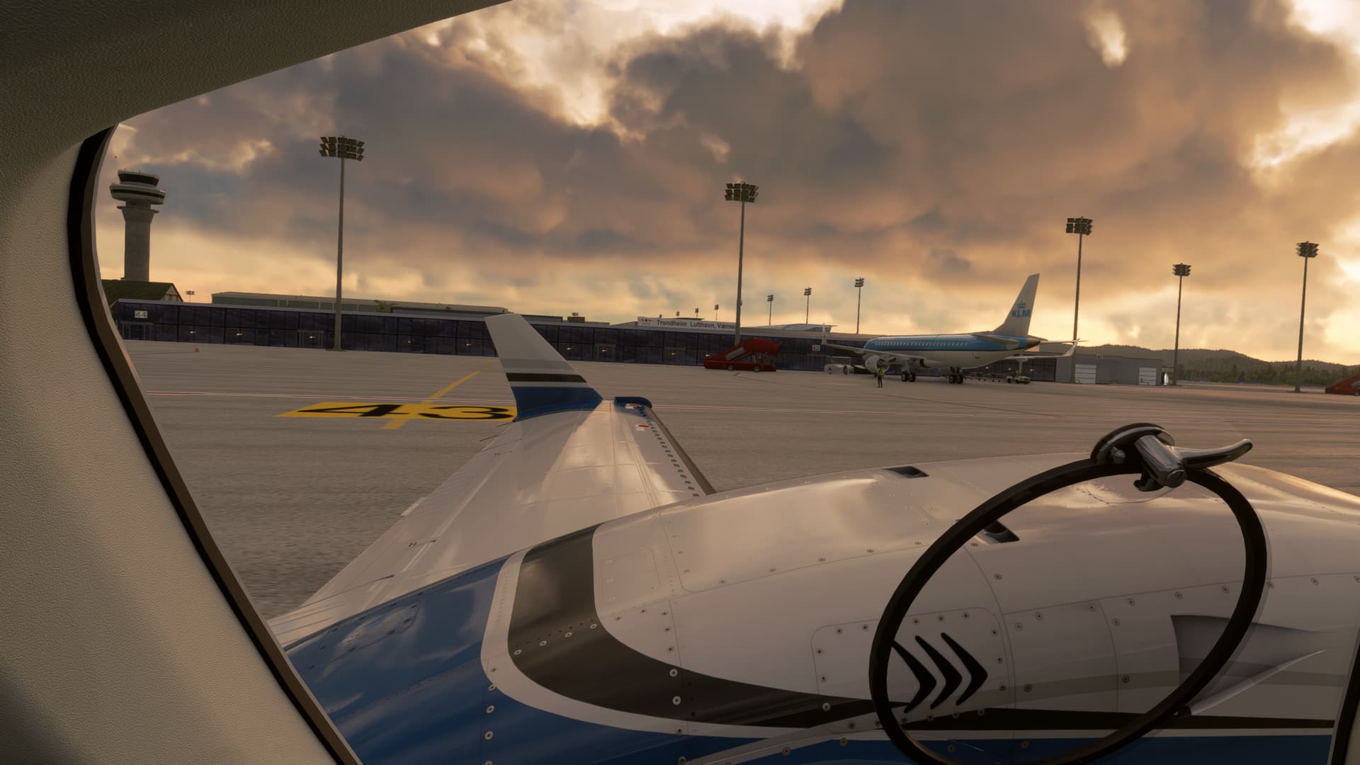
Goodbye, Trondheim
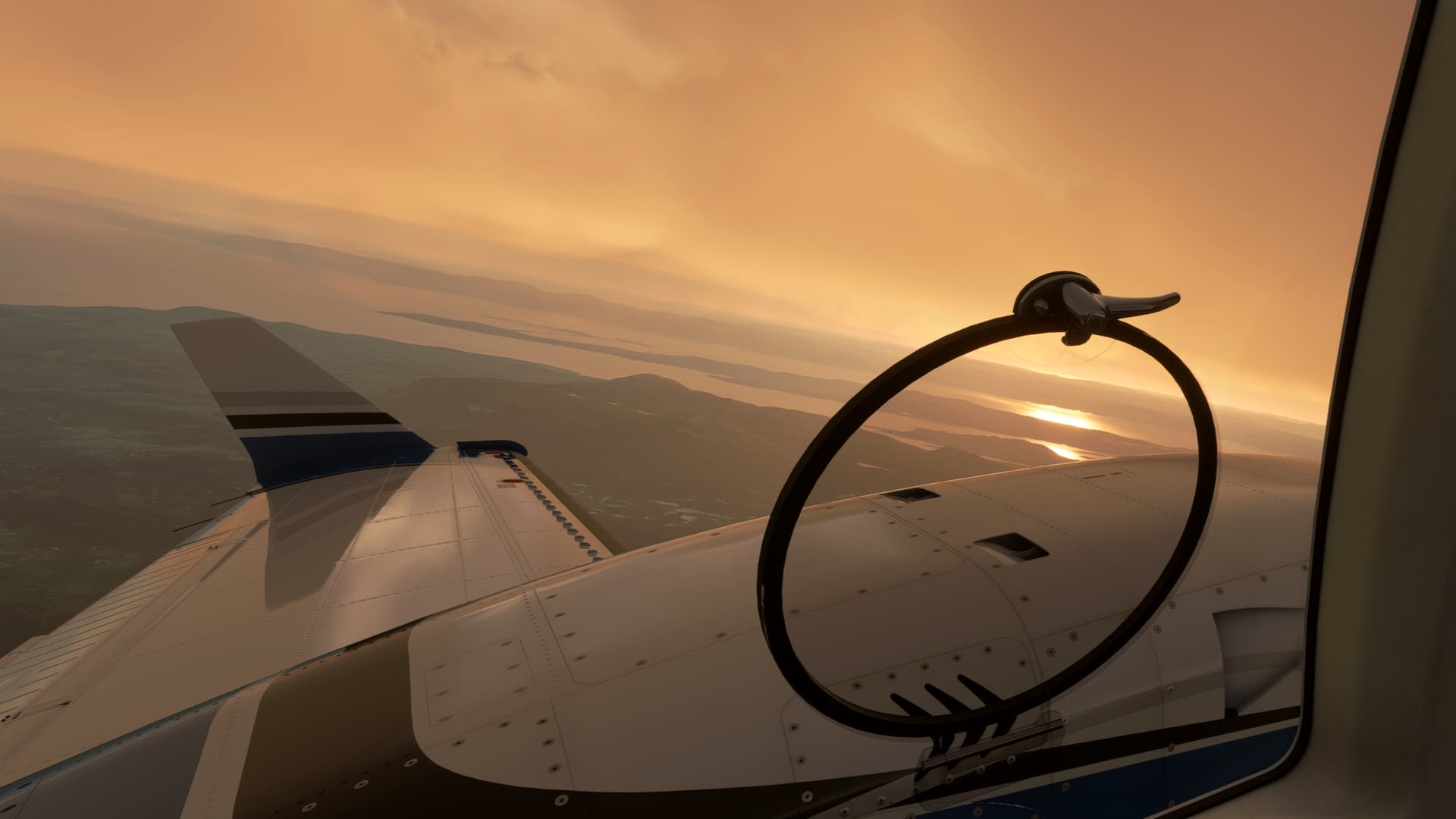

Between layers on the departure
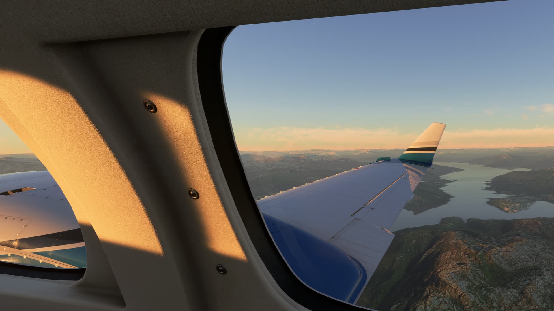
Bindalsfjorden and Tosenfjorden

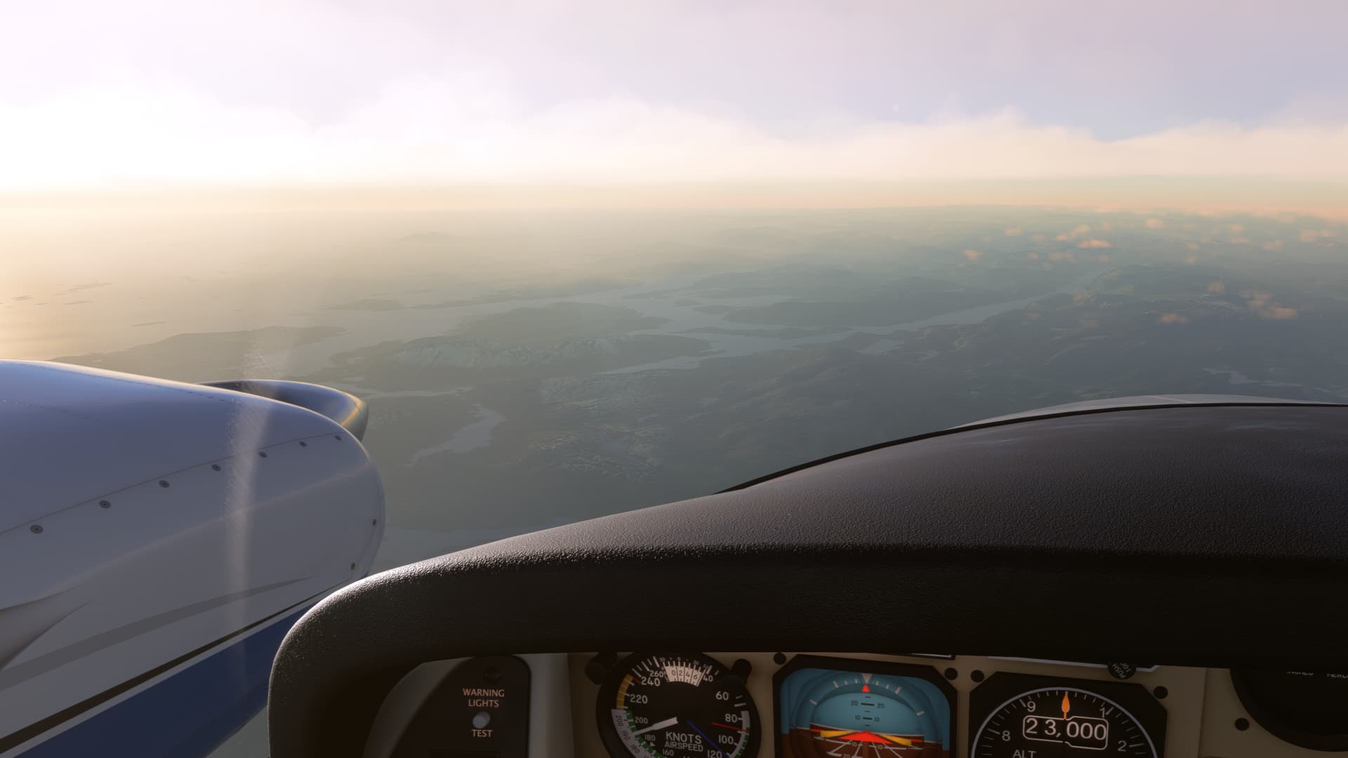
Beginning the descent
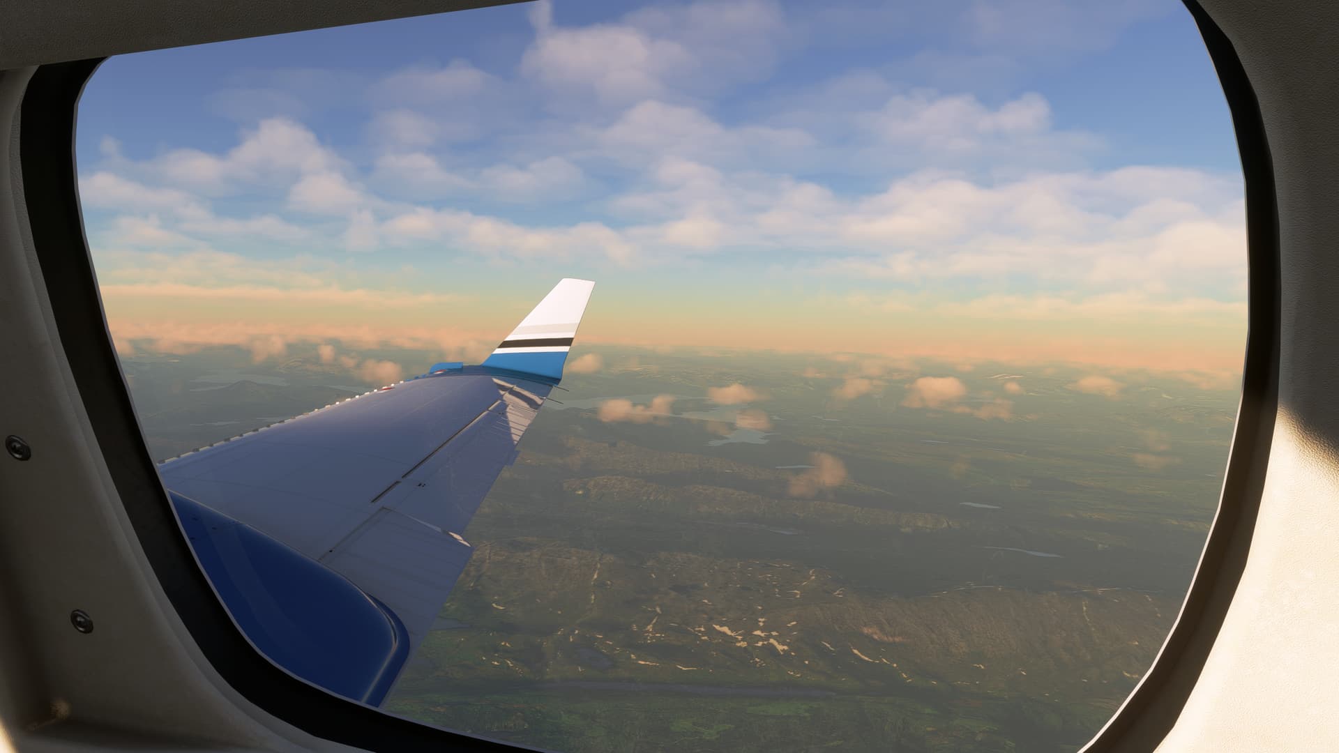
In-flight entertainment system
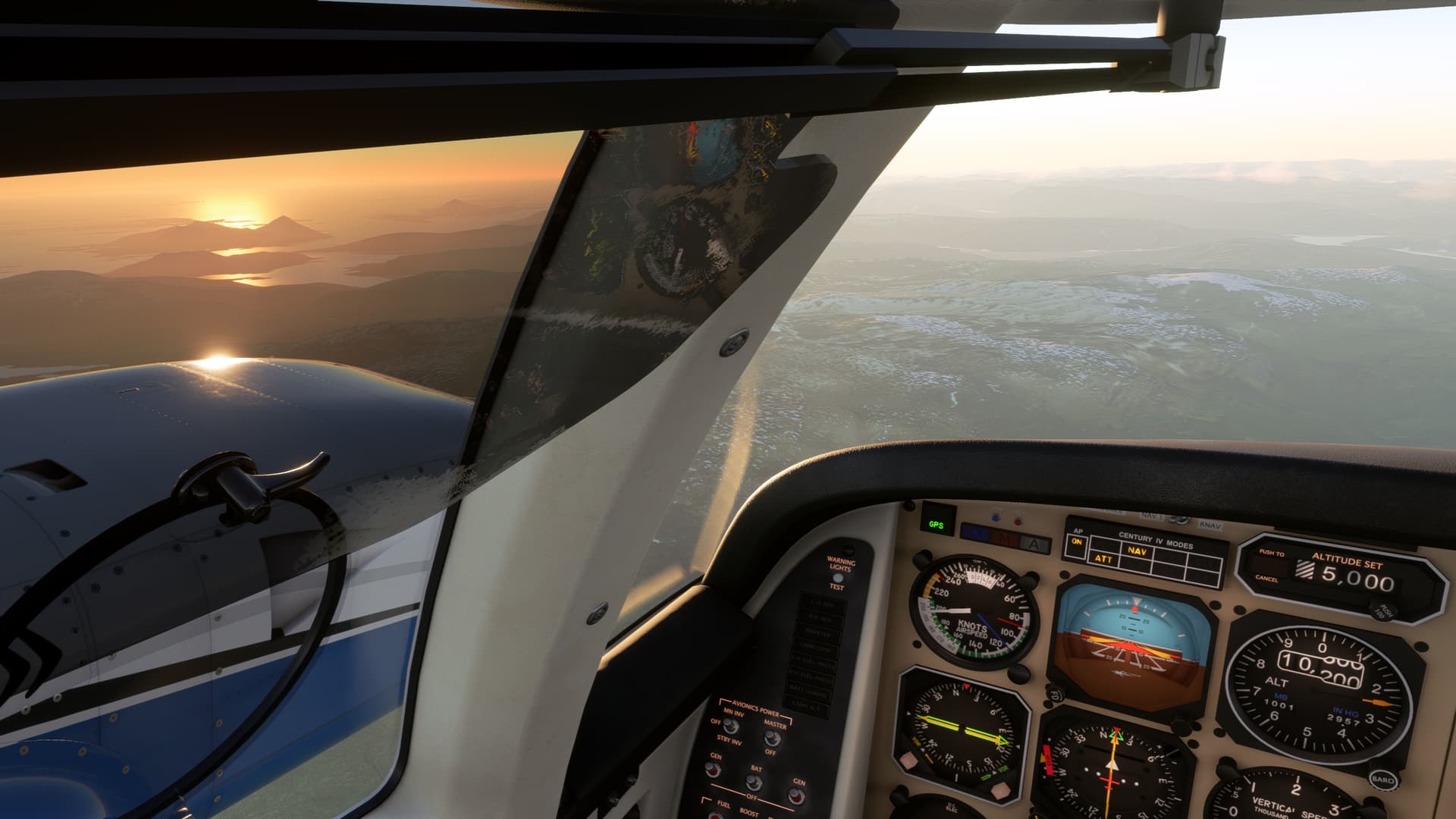
Why would you be anywhere else?
On the approach. Mo i Rana is at the end of the fjord.

Airfield in sight.
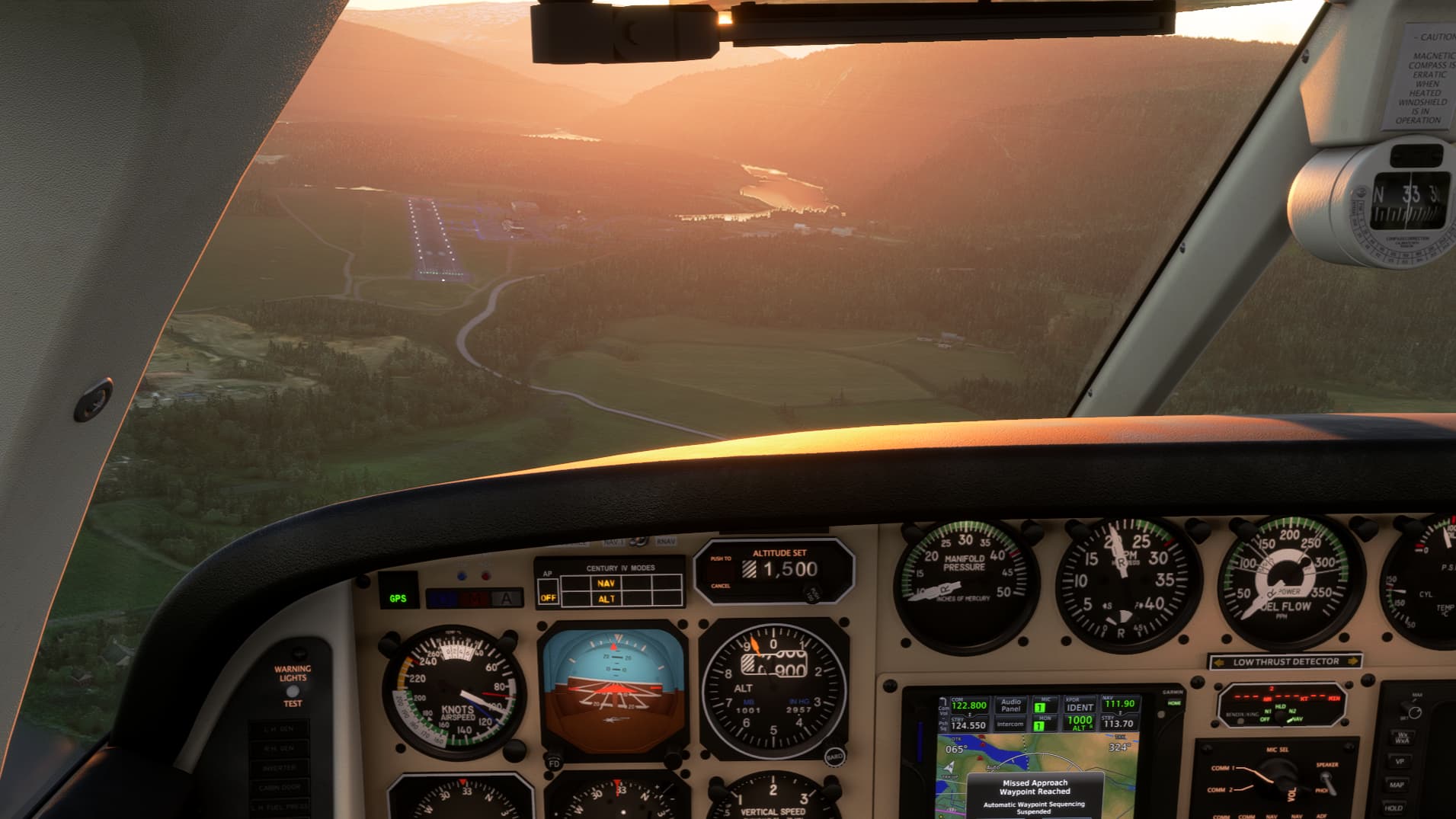
Now we need to get down
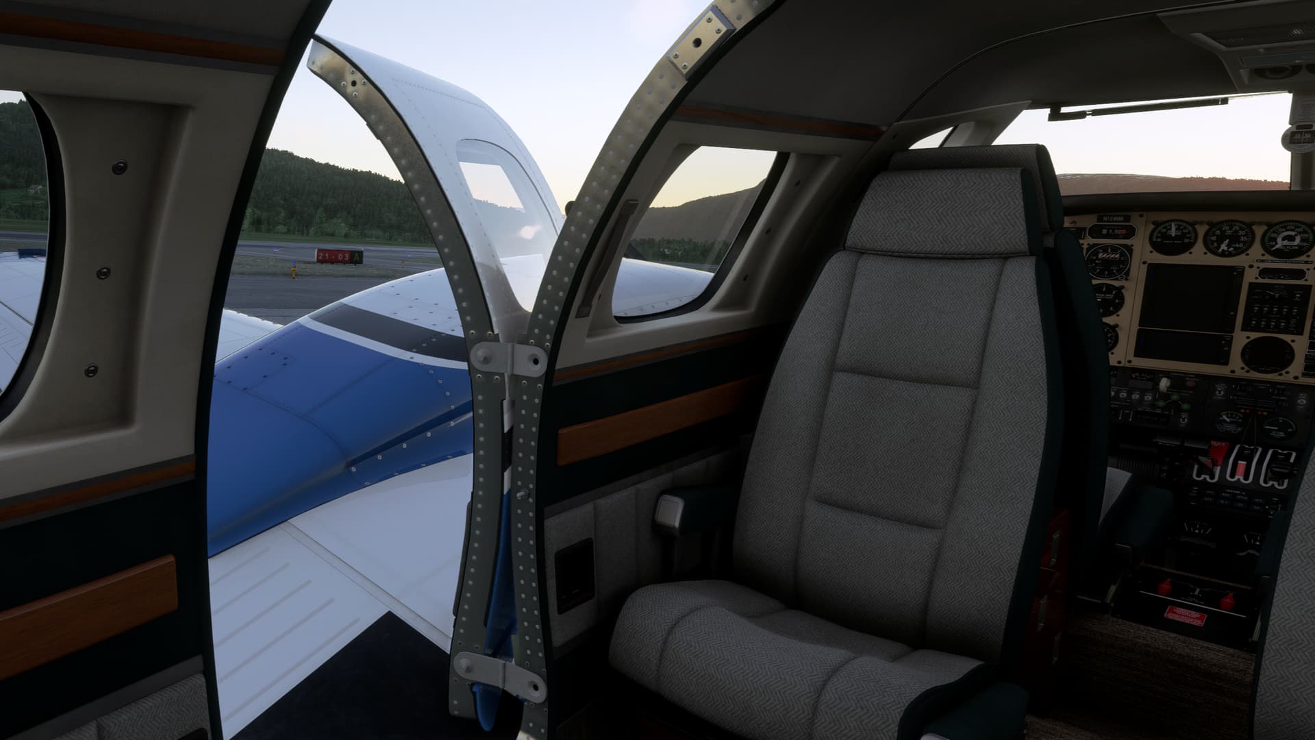
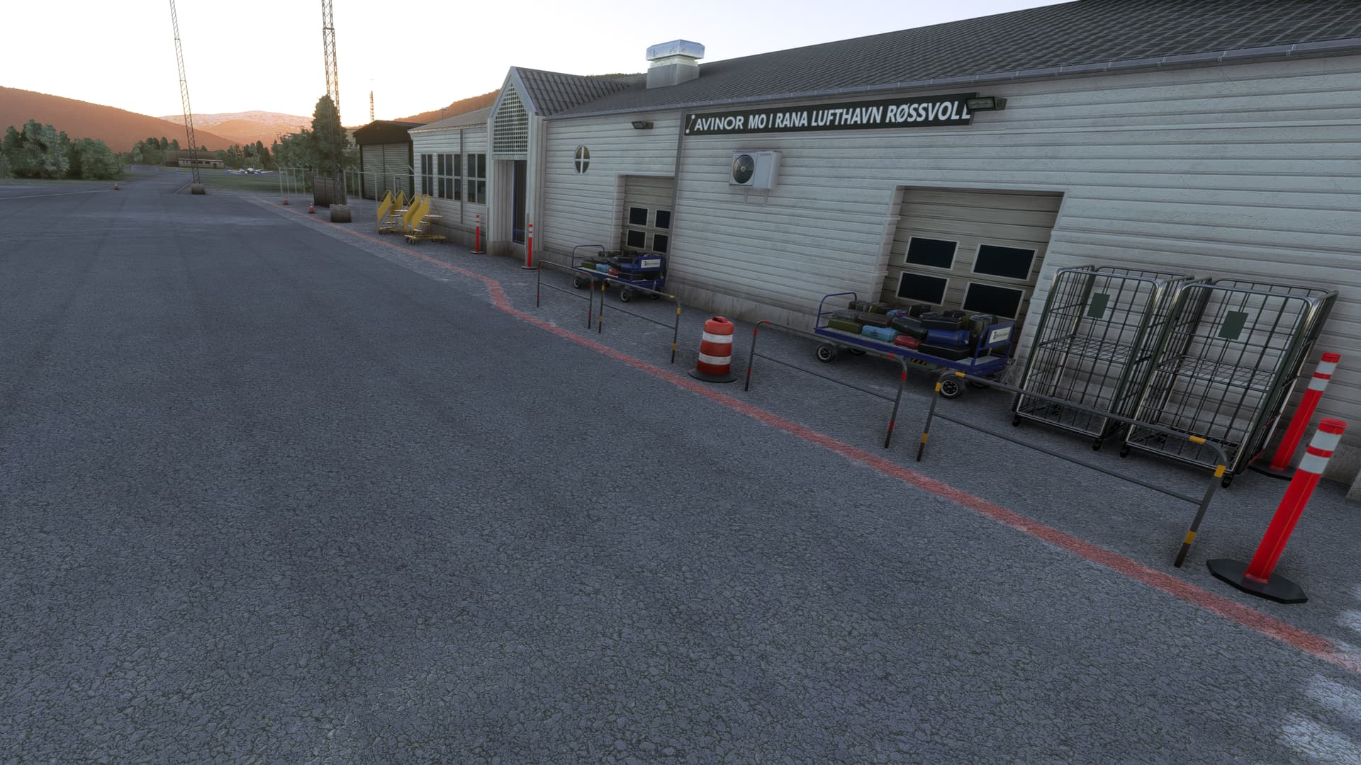
Welcome to Mo i Rana
A Duke in the distance
My final approach ended up being steeper than I would have liked – I had underestimated how much altitude I would have to lose from the MDA to the threshold and how little space there would be. I had briefed for what I would do in case of a go-around after the MAP: Turn west along Langvatnet, then turn left to circle back over the town and bring it back for another attempt. But gear and flaps on the Duke provide a lot of drag, and I was on speed despite the relatively high rate of descent, so I was confident I would be able to stop on the relatively short runway – 872 meters, less than 3000 feet.
The next stop will be Leknes ENLK on Lofoten, and this leg will bring us into the Artic.