Ok I’ve got my email. But when I opened the email I think the link said it was only valid for 2 hours, hence my confusion.
You can ignore the 2-day limit message. That’s just part of the site’s default template and doesn’t apply. The download link will continue to work for updates anytime in the future.
1 Like
Hi Bijan .. I just did a flight along the north coast of Tasmania from YGTO to YWYY and noticed the towns along the coast have an overrepresentation of deciduous trees still showing red Autumn foliage, and very few evergreen trees within the town boundaries.
In this part of the world we really don’t have many deciduous trees and the few we do have have all lost their leaves at this time of year.
I was just hoping you might be able to take a look sometime if you have a chance.
Thank you! ![]()
Edit: I just saw Zadma’s post and it sounds very much like what they’ve seen in South Africa.
Hi there,
I’ll check out the area and make any necessary changes.
2 Likes
Thank you so much ![]()
1 Like
@bijanstudio are you notifying existing clients of the update?
Yes, I will post notifications here.
2 Likes
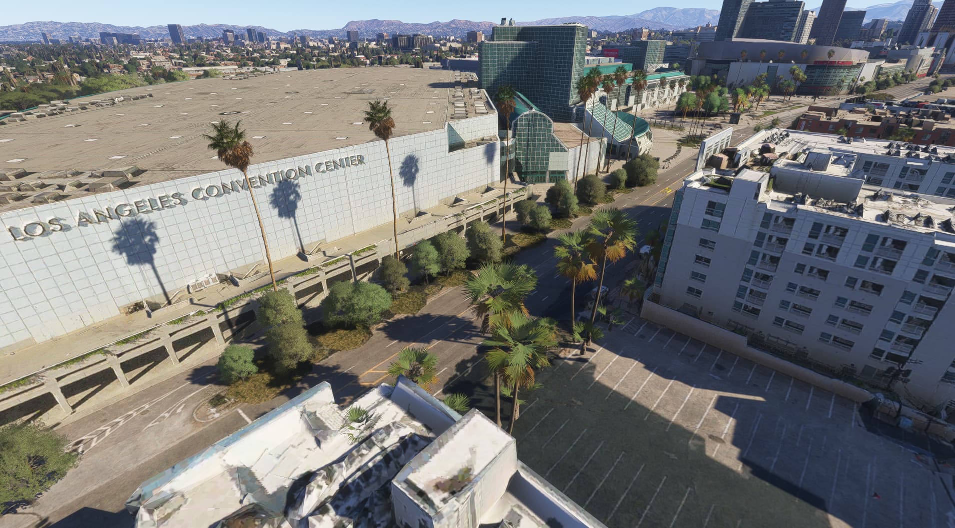
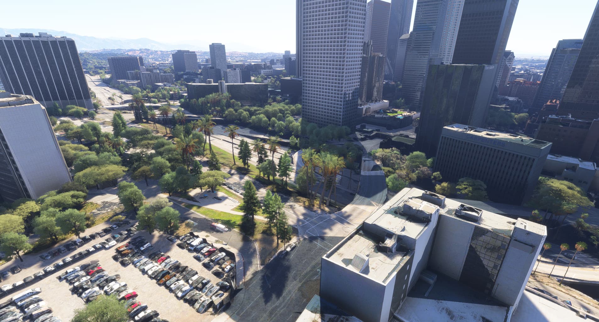
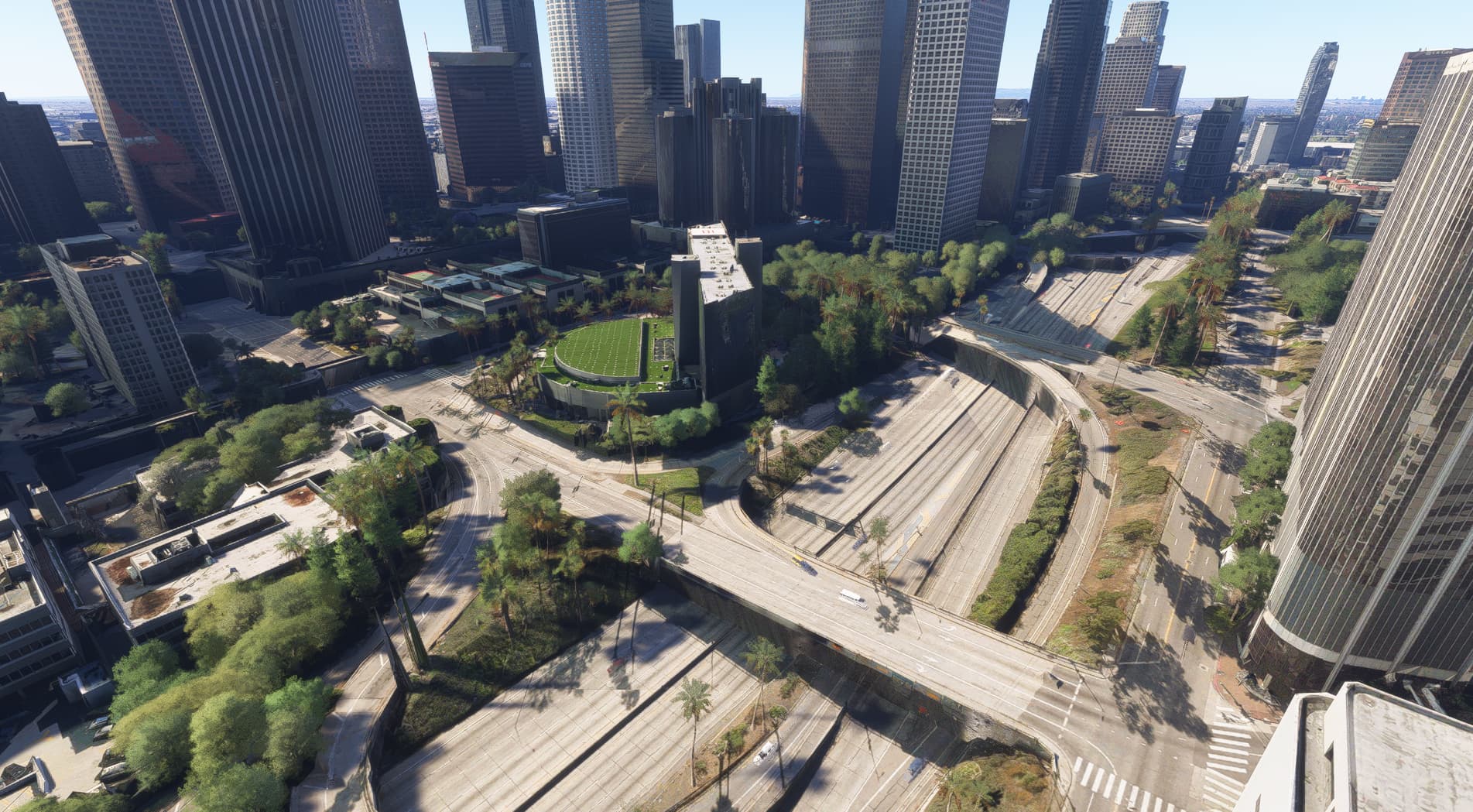
New package:
Fly Vancouver the way it should look—with seasonal beauty.
Transform your flying experience over Vancouver in with this detailed photogrammetry tree cleanup mod. This package removes solid green, stone-like photogrammetry trees and replaces them visually with seasonal trees, offering a much more realistic and immersive view of the city.
Key Features:
- Complete cleanup of every single street within the coverage area
- Covers Downtown Vancouver, including:
- Stanley Park
- West End & Coal Harbour
- Yaletown & False Creek
- Granville Island
- Kitsilano waterfront
- Parts of Mount Pleasant & the Port of Vancouver
- Airport area
- Seasonal tree colors now display correctly across all seasons
- Works great as a standalone, but trees look even better with the “Bijan’s Seasons Enhanced” mod
Coverage area is shown in red on the included map.
Perfect for helicopter tours, VFR flights, or simply enjoying the beauty of Vancouver with clarity and precision—every street has been meticulously cleaned up.

2 Likes
Hi Bijan, what is the road level scenery like for exploration with a crosskart or any other vehicle one could purchase in the marketplace? Is it possible to go under bridges or drive onto a freeway without sinking into the scenery? Thanks
Hi! I can’t say for sure how roads or bridges behave with ground vehicles — some may let you drive under them, and some might not. I haven’t tested ground physics or collisions with vehicles myself, so I may not be the best person to ask. But I hope it works out well for your exploration — good luck!
2 Likes
Bijan,
Obviously you focus on high detail areas for trees but I wondered if you have noticed high detail rocky cliff areas like Yosemite or I found some in the French alps. Is there any kind of a list somewhere of the new MSFS2024 high detail rock areas? They look great for glider or helicopter flying
Yes, I’ve noticed that too — some rocky areas around the world have much higher detail now. Places like Yosemite Valley, parts of Colorado, and even areas around Las Vegas really stand out.
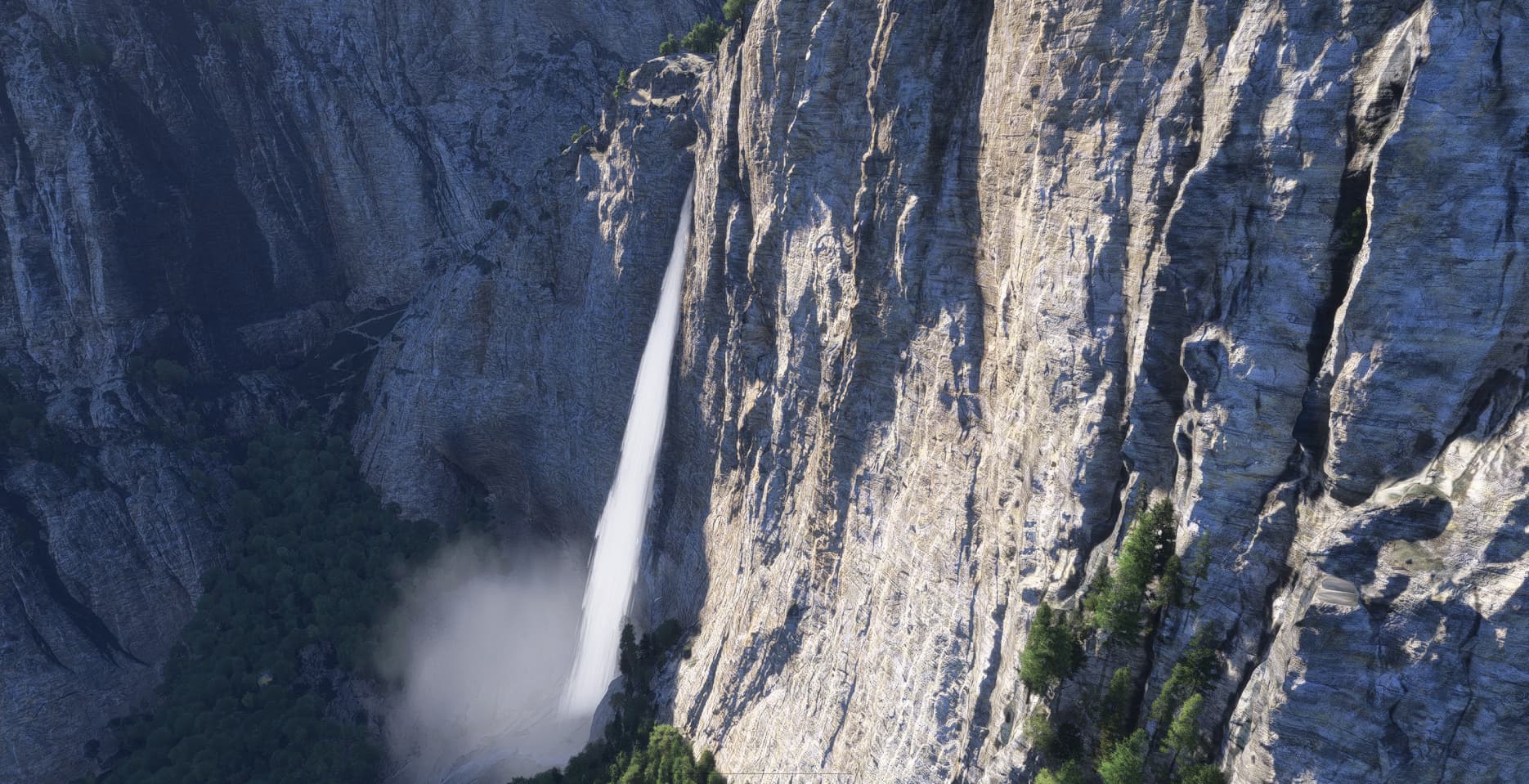
Yep, that would be 2024’s “countryside TIN” - one of the interesting spots is Monument Valley which, by default in 2024, has a USA World Update enabled that actually overwrites the beautiful new textures with old World Update photogrammetry textures from 2020. If you disable that particular World Update Monument Valley transforms for the better.
2 Likes
So, is there a list of “countryside TIN” areas? The devs must want us to take a look at them. Also, do we need to adjust a MSFS setting to get them to show the most detail?
If you go back and watch the presentation to content creators given at the Grand Canyon event last summer there’s a very zoomed-out map with dots indicating the areas I believe - that may be as close as we get to a list right now.
Seems like it would be a no-brainer to make some sort of publicly-available list or even center sight-seeing activities in the sim around a playlist of “Countryside TIN” areas to show off the new sim.
1 Like
I didn’t mind paying a small amount for your enhanced seasons but this is egregious (in my opinion) charging $9 for a single city.
The $9 charge reflects the amount of time and manual effort involved in cleaning up each city. This isn’t automated—every tree is manually reviewed and cleaned, covering over thousands of streets and the entire airport area as well. In total, thousands of photogrammetry trees were replaced to allow proper seasonal trees to display and to significantly improve the visual realism.
Also, just for context—many scenery add-ons charge even more for a single airport. This package covers not only the airport vicinity but entire neighborhoods, downtown areas, parks, and major roadways, making it a much broader enhancement.
2 Likes