Perhaps one area that has improved with MSFS 2024 is snow coverage. Just tracking it for my home area it has been very accurate. The snow-melt-snow-melt-snow cycle has been portrayed quite well, with just the right amount of snow, and grass and bushes poking through the snow just as it does IRL. Very nicely done.
It does look good, but the “Snow Depth” slider in the weather widget could more accurately be called “Snow Altitude”, as, as one moves the slider to the right, snow appears at lower & lower altitudes. There does not appear to be any change in its depth once it is shown on the ground.
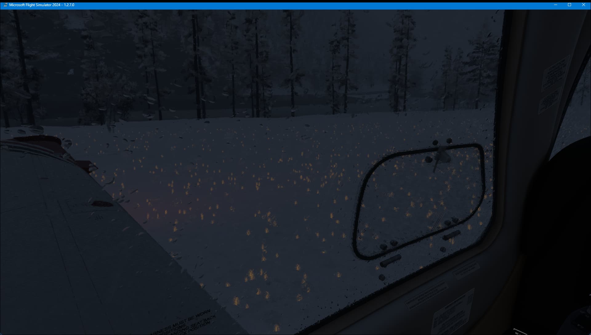
I’ve also been unable to get falling snow rendered in 2024 so far, no matter what snow, temperature or cloud permutations I set in the weather widget.
No real improvement I can see, milford sound in nz still covered in snow despite being in the middle of summer.
A little snow on the mountain tops is still interpreted as a massive blanket of snow down to sea level. It still appears to be using the same low resolution snow maps from meteoblue.
I really hoped there would be more smarts at play here to help shape the snow map to the terrain and weather conditions, even a simple freezing level cutoff based on altitude unless there is active snowfall in the area maybe?
Unfortunately it has snowed more since the days I had watched, so the ground is covered pretty well now and won’t show patchy areas. I will get a screenshot of an airport/scenery and post it next time I find a patchy, snowy condition. It wasn’t snowing much around the world today, per the map (above).
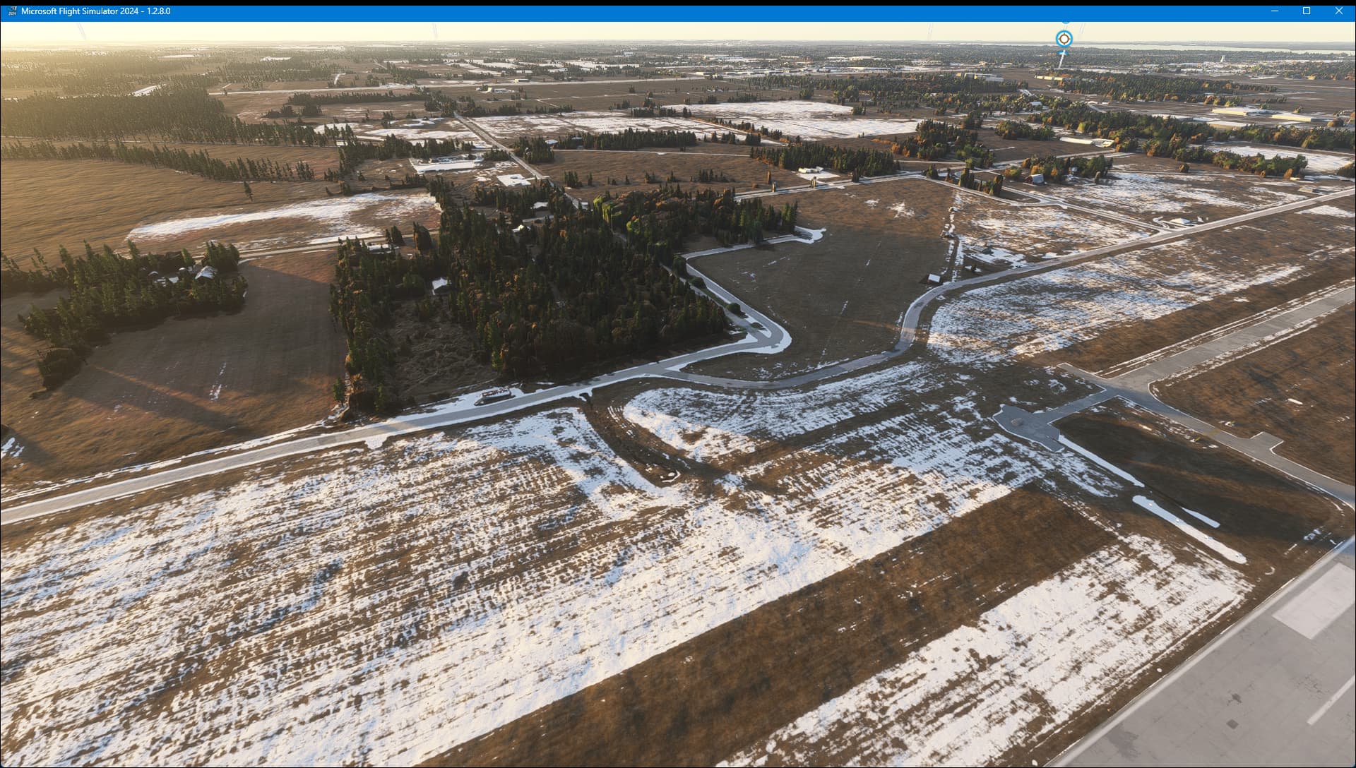
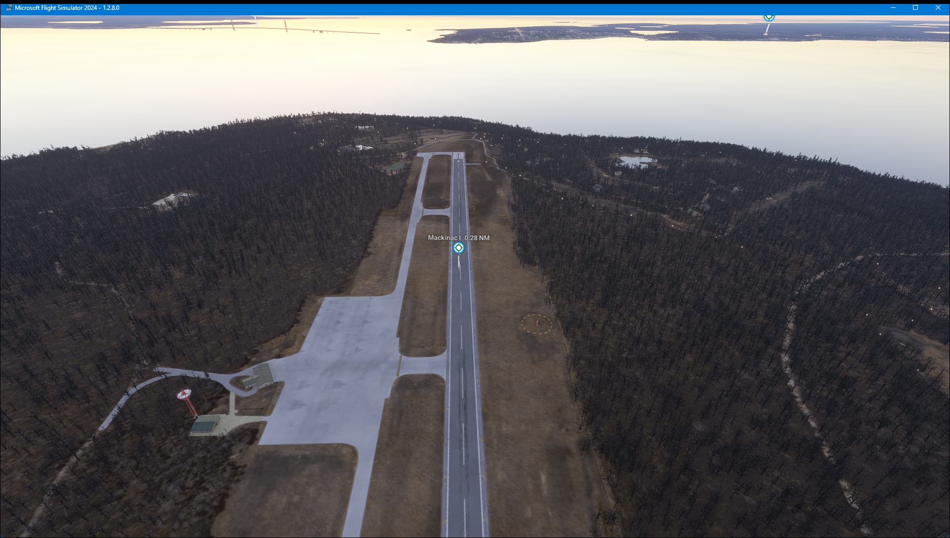
Michigan lower peninsula is missing snow cover on the ground. It was decently accurate until the snow storm at the end of last week. Hasn’t seemed to update coverage since then.
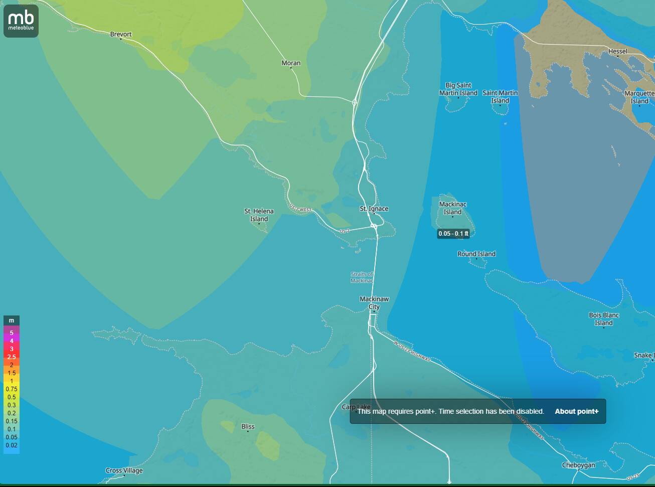
In all fairness, Meteoblue appears to show more snow (deeper yellow) around the Oshkosh area than it shows around the Mackinac Island (KMCD) area. I guess MSFS 2024 has to rely on data that might be somewhat older than current and/or is subject to a specific threshold. We cannot expect it to be accurate all of the time.
yea, was pretty disappointed with this as well. Microsoft and Asobo need to learn that the world is not US and Europe. Some of the most beautiful scenery in the world is in the Southern Alps of NZ.
Do we know what data source they use for snow cover? Is it publicly available? Would be nice for us to know what data they use. Because the snow cover in MSFS 2024 has been completely off for the place where I live (midwestern USA).
Lots of NZ south island airports and areas covered in snow when they shouldn’t be (18 degrees c ground temp!) because of snow reported on mountain tops?
Snow cover disappears and reappears over a very short duration. Hope Asobo fixes this issue soon. Snow on the mountains doesn’t melt in a matter of minutes.
I am living in the Alps in one of the valley around Grenoble not so far from Le Versoud airport. Altitude is 250 meters.
During this winter 2024/2025, we got snow coverage two times for around 24 hours.
On live wheather with MSFS 2024, I saw snow on the ground continuously since November to April.
This is worse than MSFS 2020