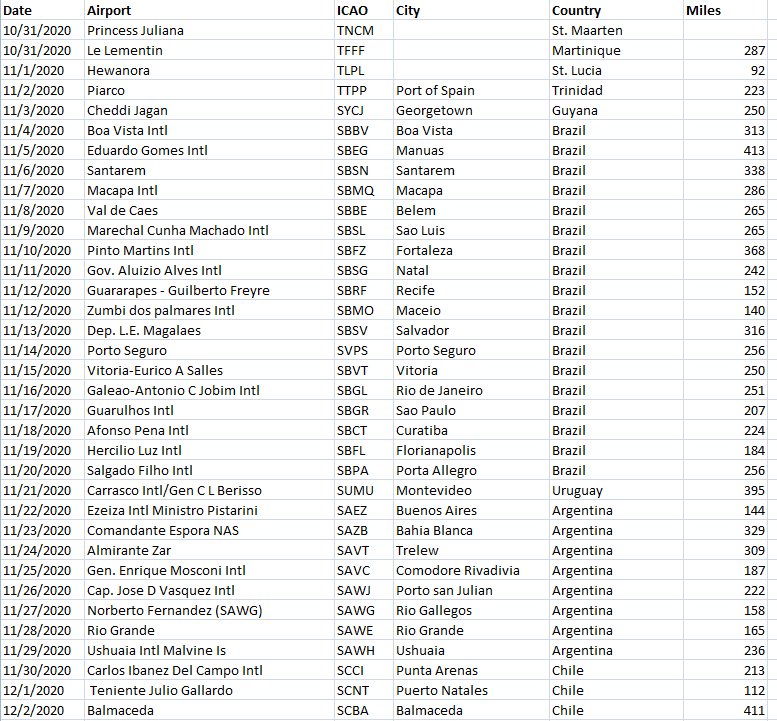
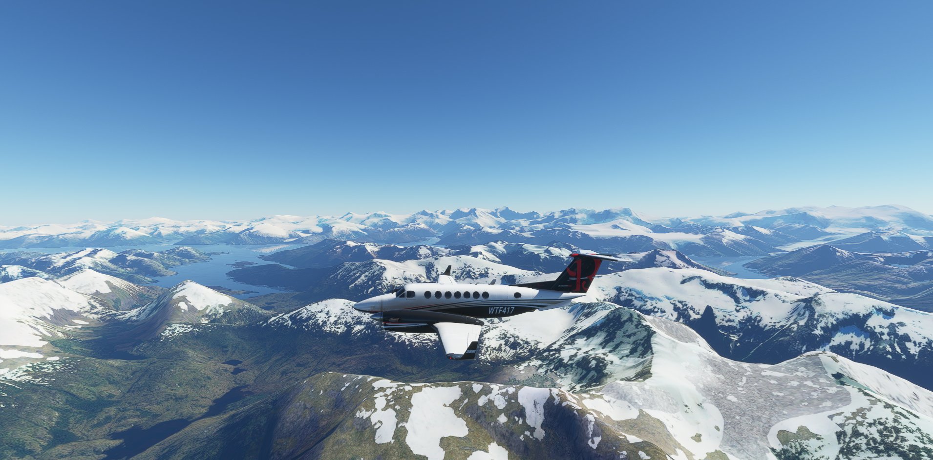
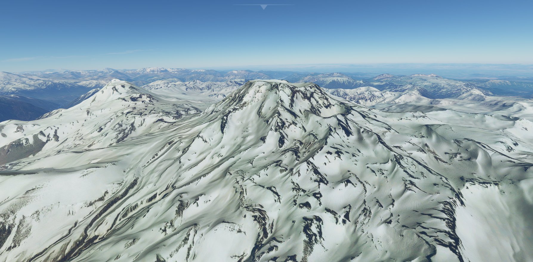
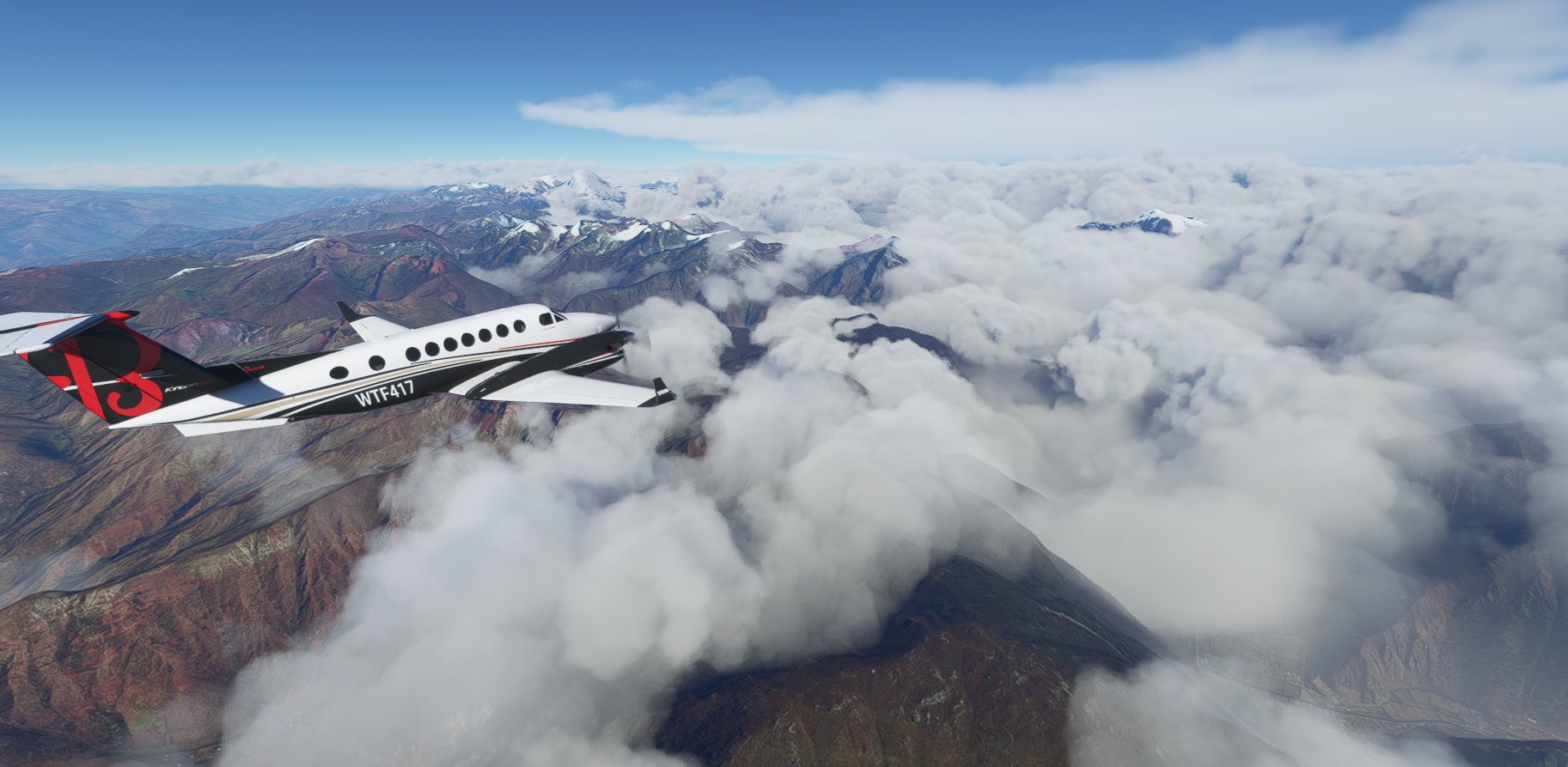
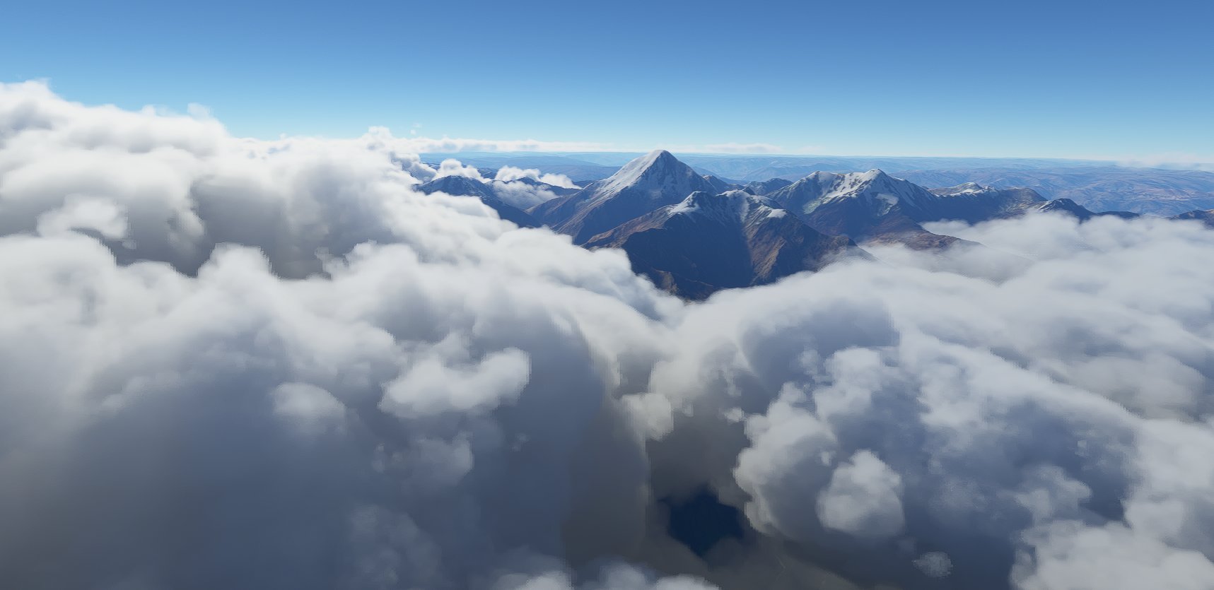
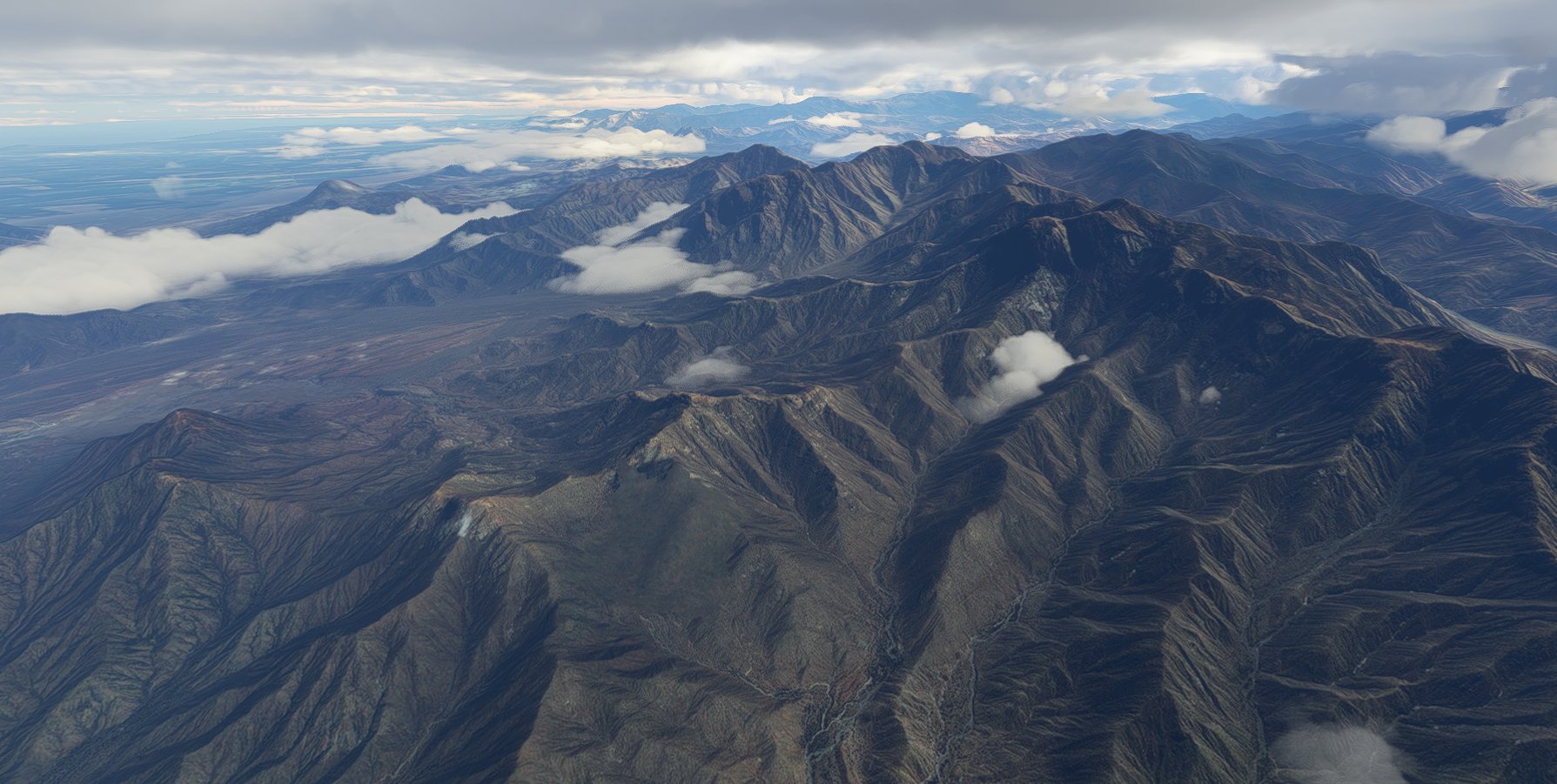
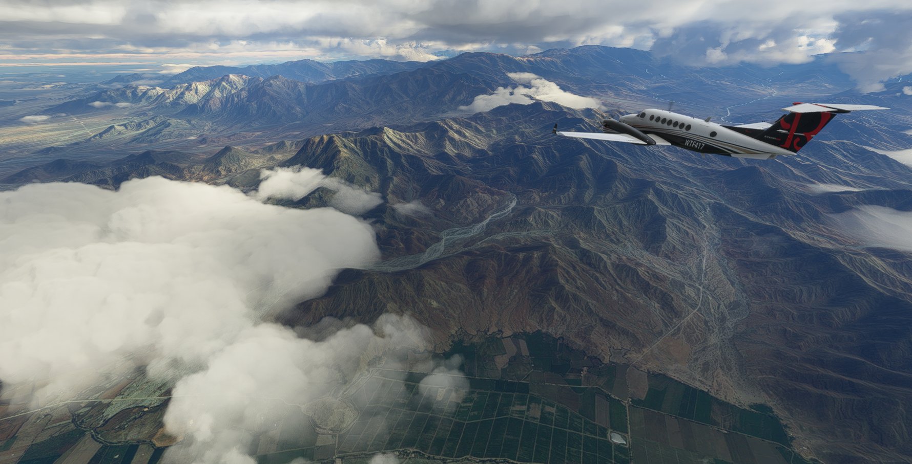
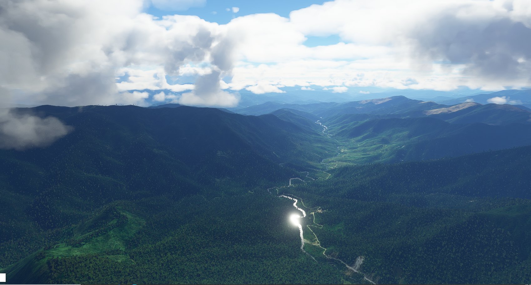
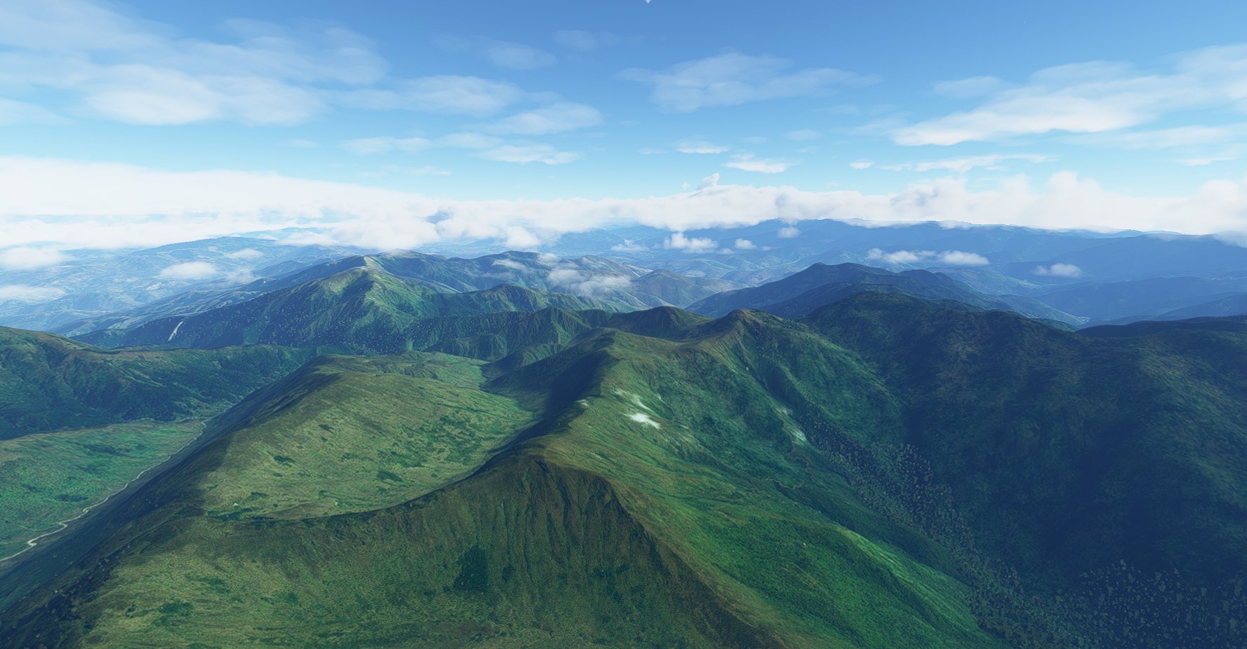
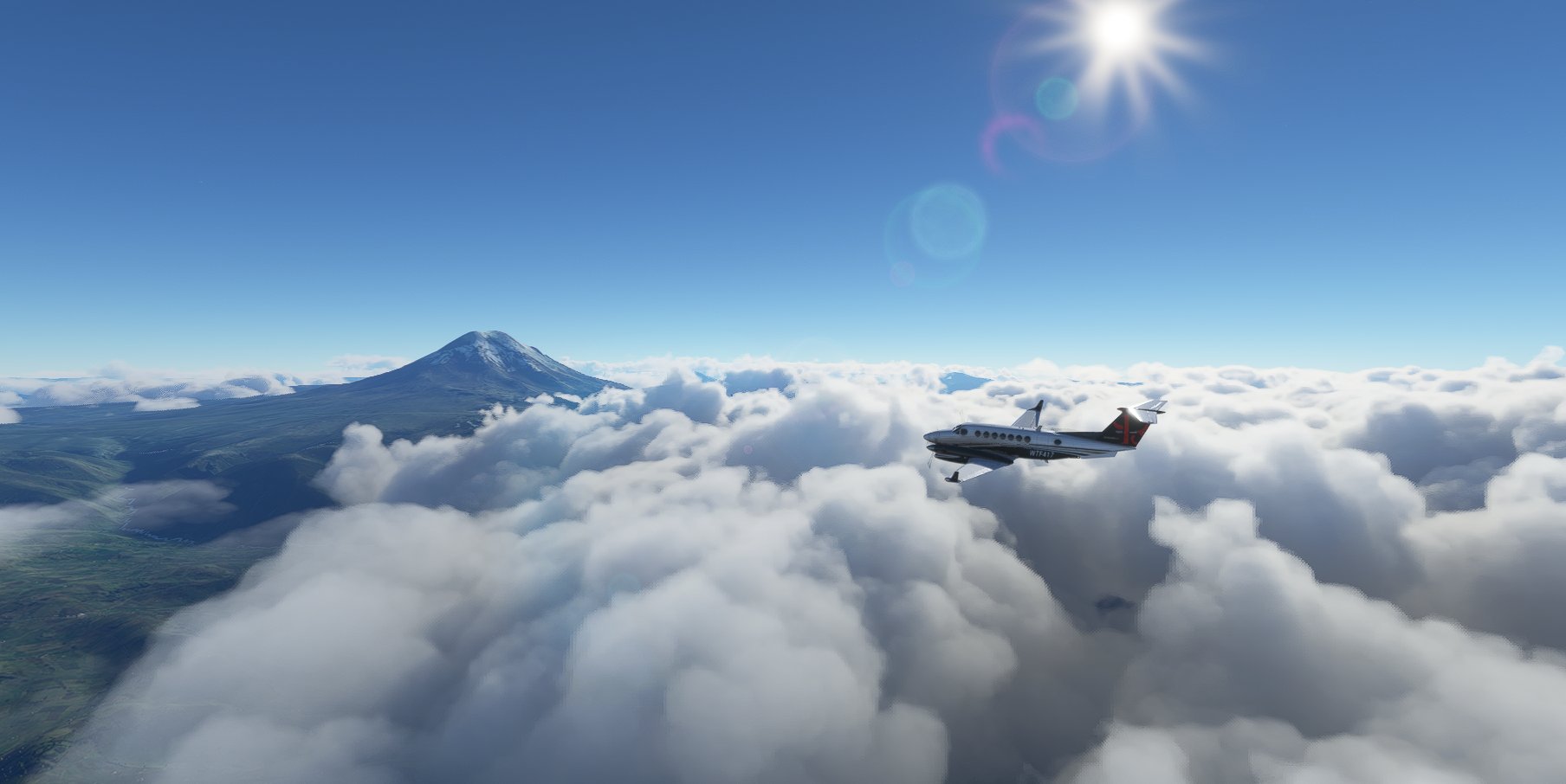
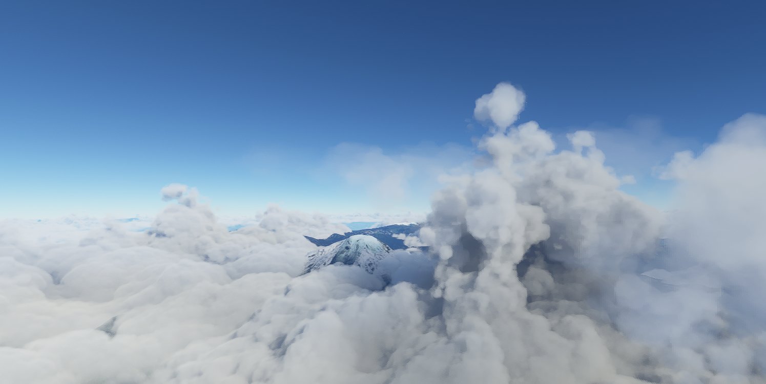
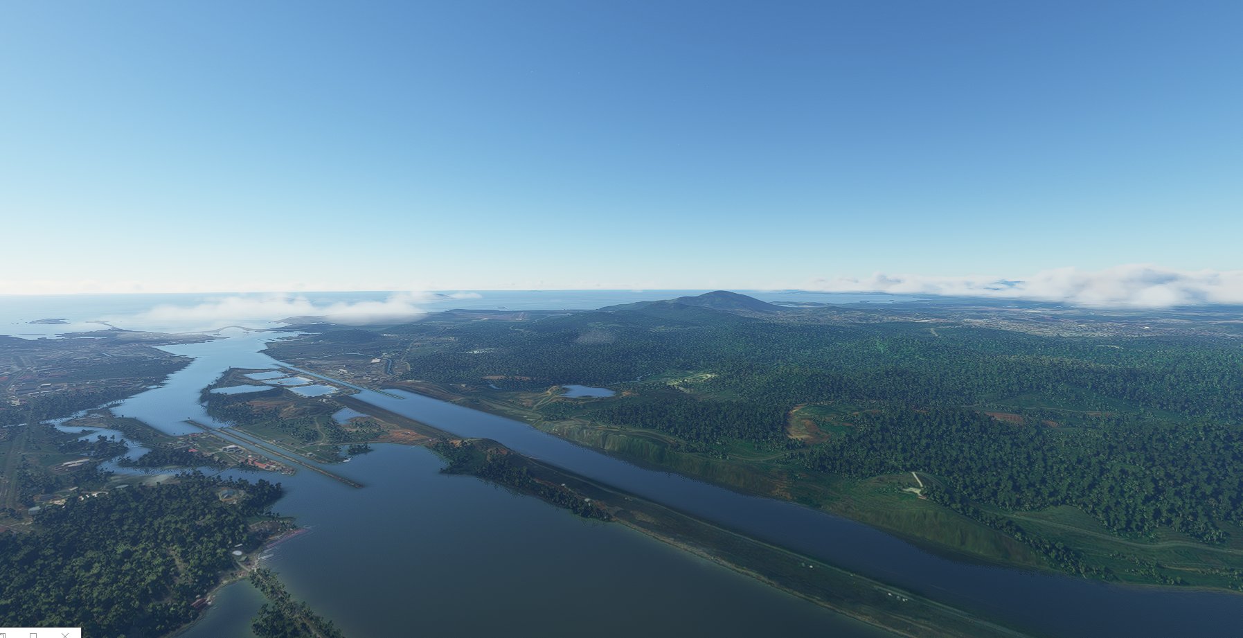
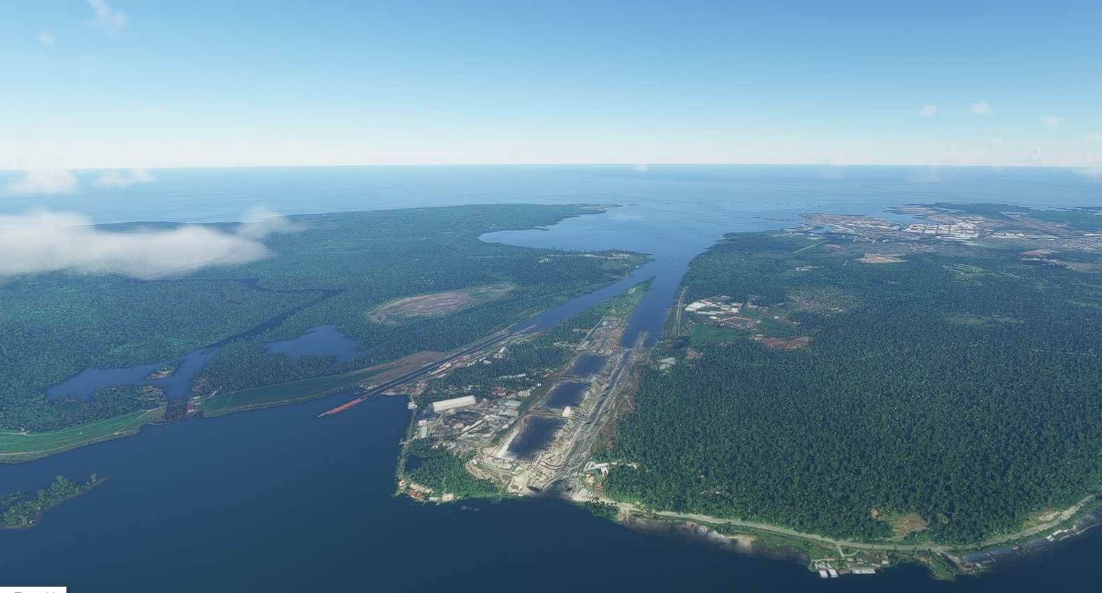
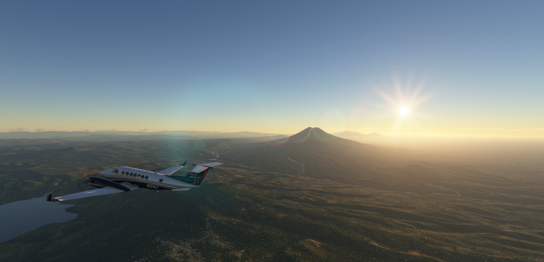
Just sharing a low & slow circumnavigation I am doing of South America in the KingAir 350i. So far, 35 Flights, 8500+ miles, and lots of temperature and wind changes. All is going well with the plane. Most flights are 200-400 miles on average. Attached are the google earth image, and a spreadsheet of all stops along the way. Cheers & Happy flying. Hope to see you along the way…

4 Likes
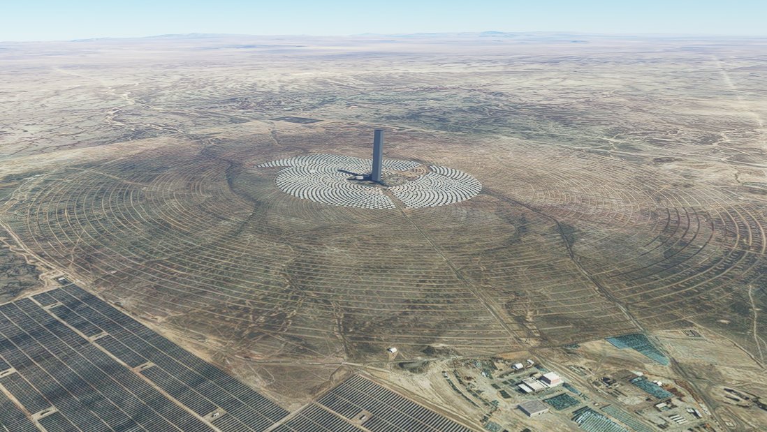
Cerro Dominador Solar Power Plant located in the commune of María Elena in the Antofagasta Region of Chile
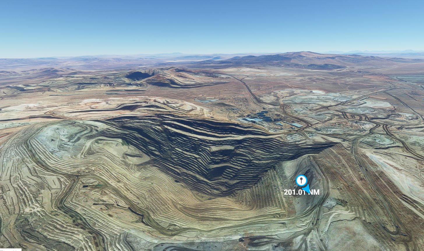
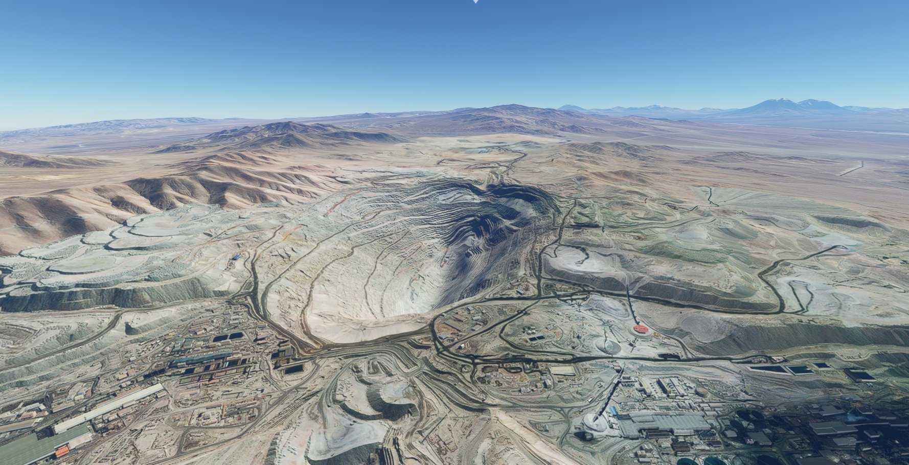
Ministro Hales Copper-Gold Mine , Chuquicamata District, Calama, El Loa Province, Antofagasta, Chile
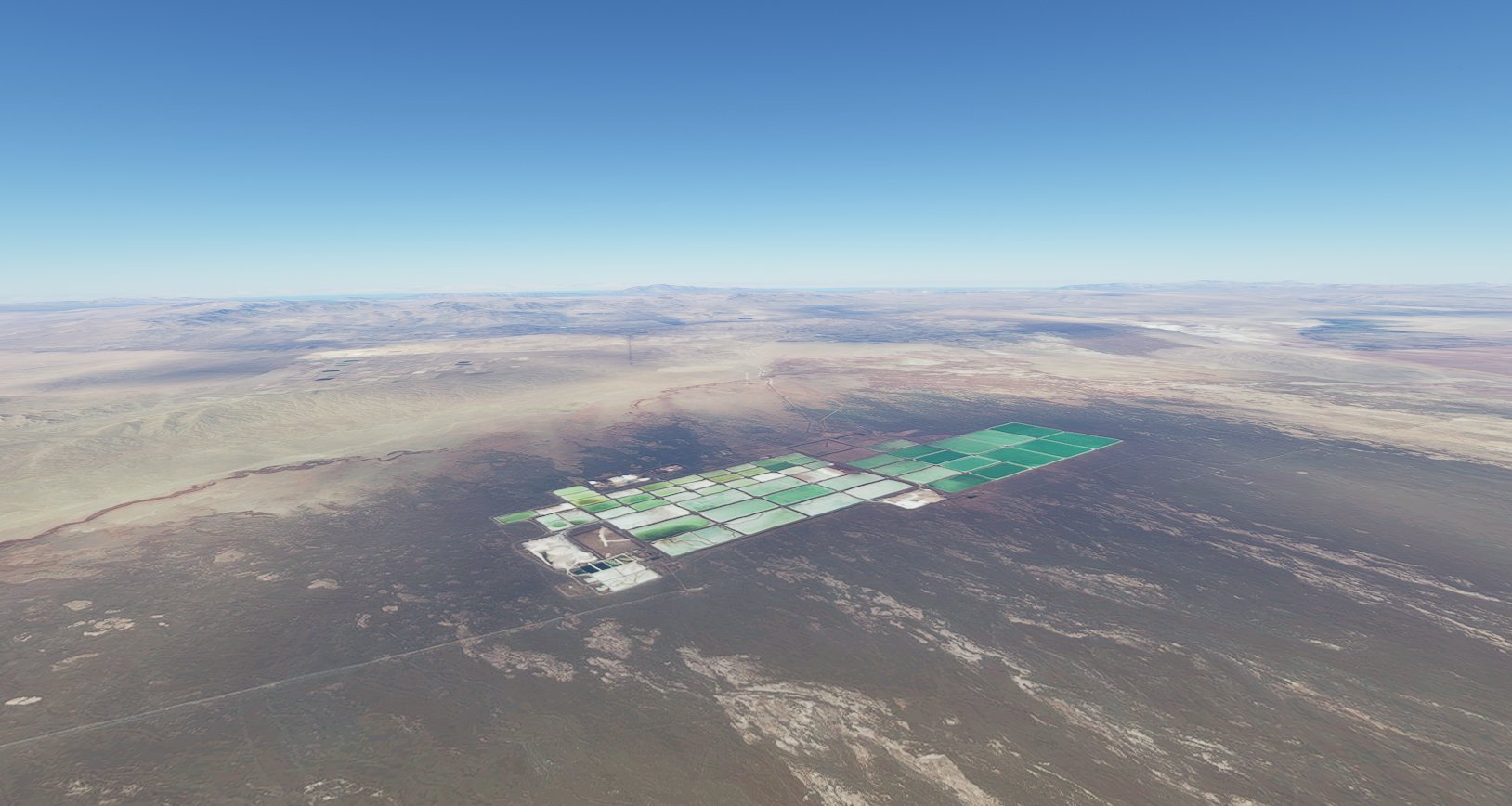
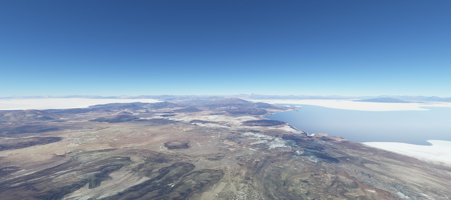
Between the great salt lakes in Bolivia (Uyuni on the left and Coipasa on the right) 12,000 ft above sea level
1 Like
it would take one life to discover all the beauty of earth ! that’s definitively not a game ![]()
Amazing ![]()


Great! I’m heading up the west coast in a Seminole, have traversed whole Patagonia now and wondering which side of the Andes to choose on my way forward.