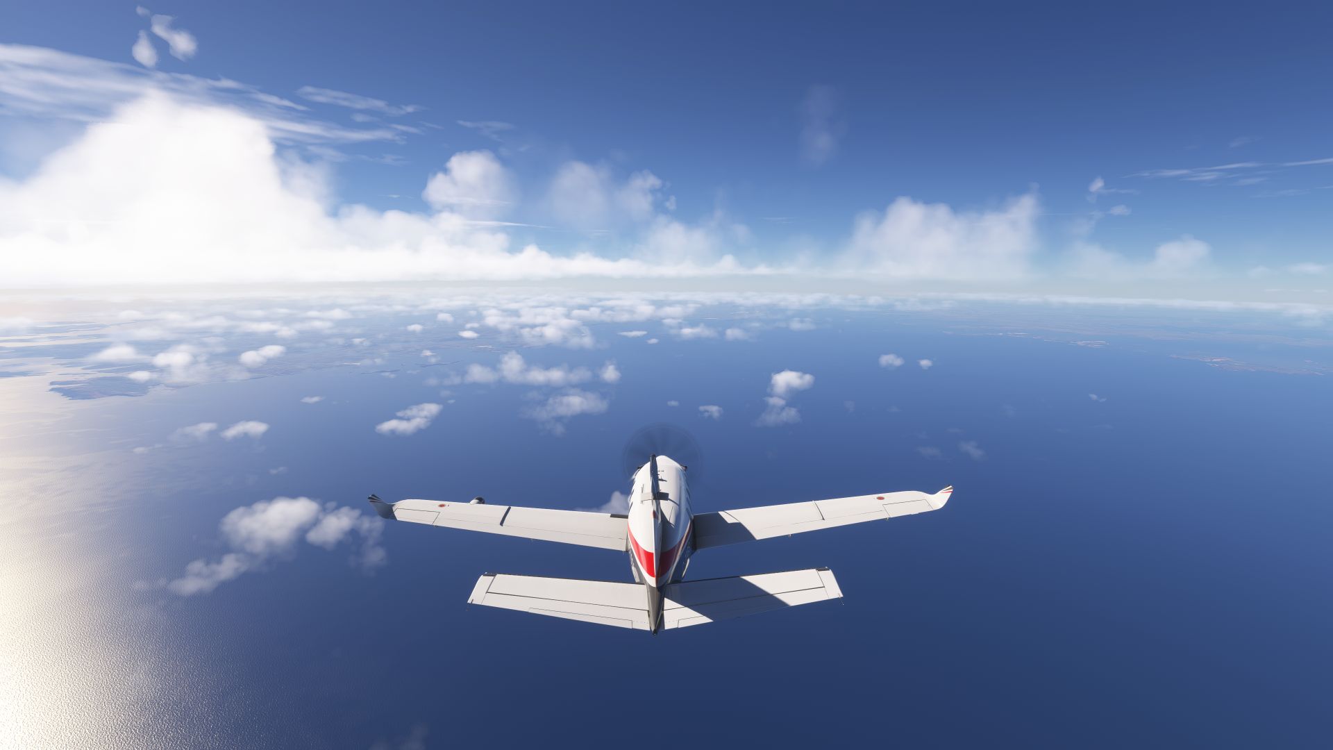
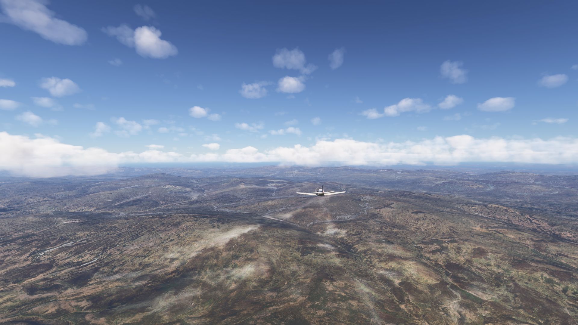
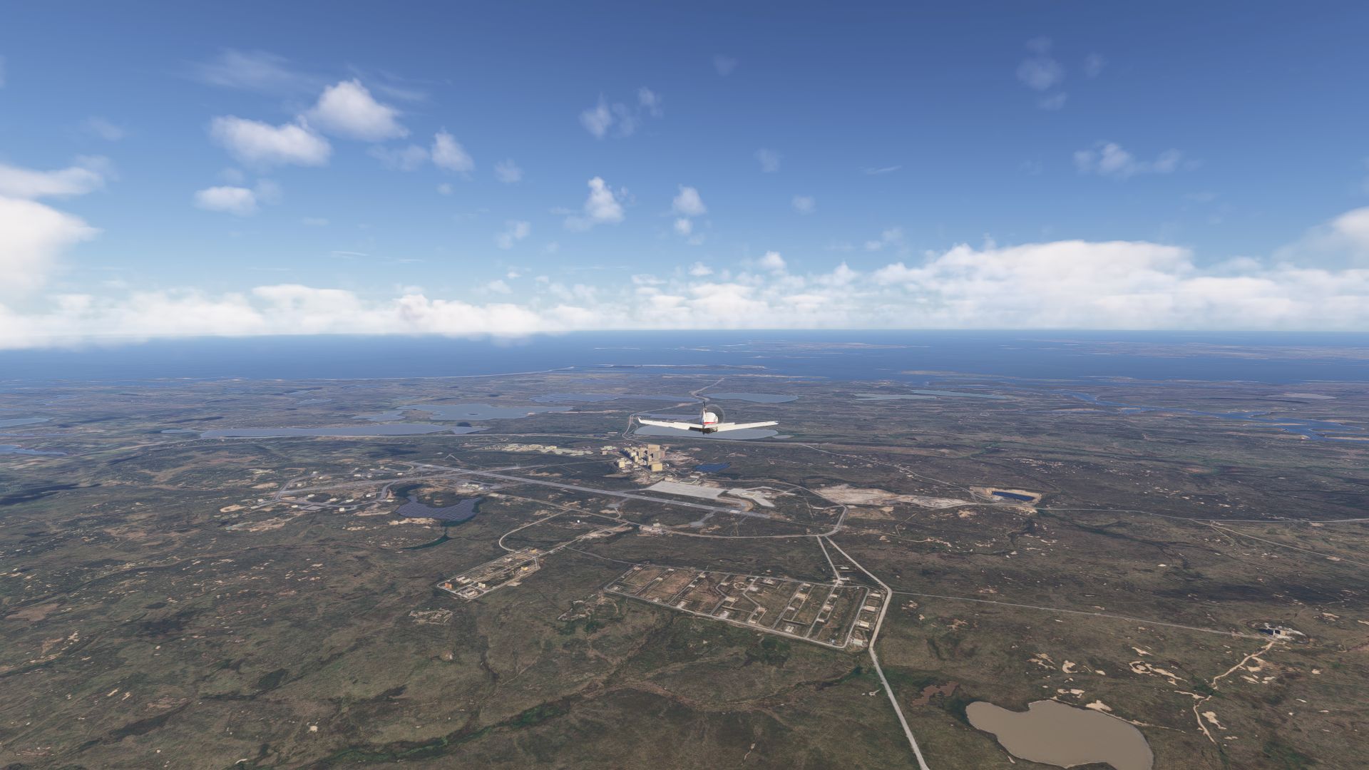
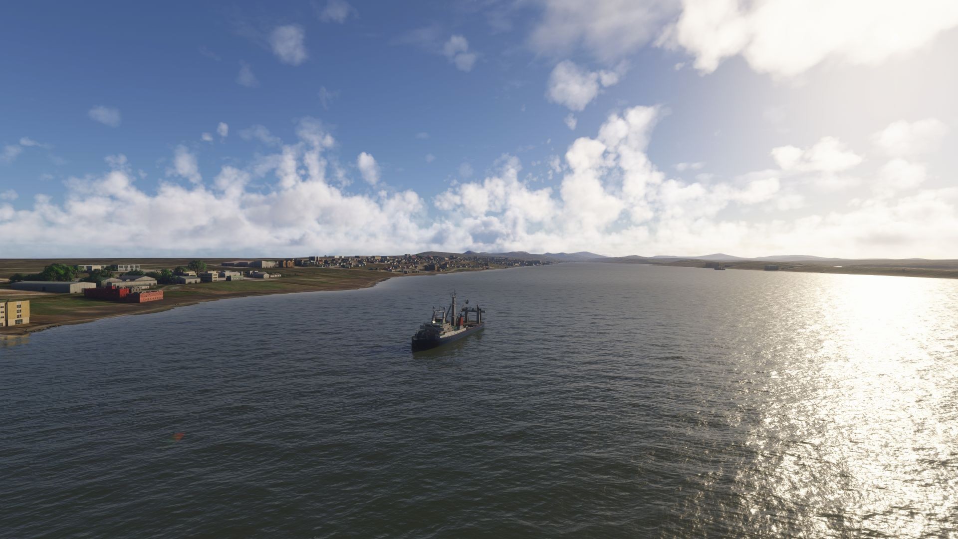
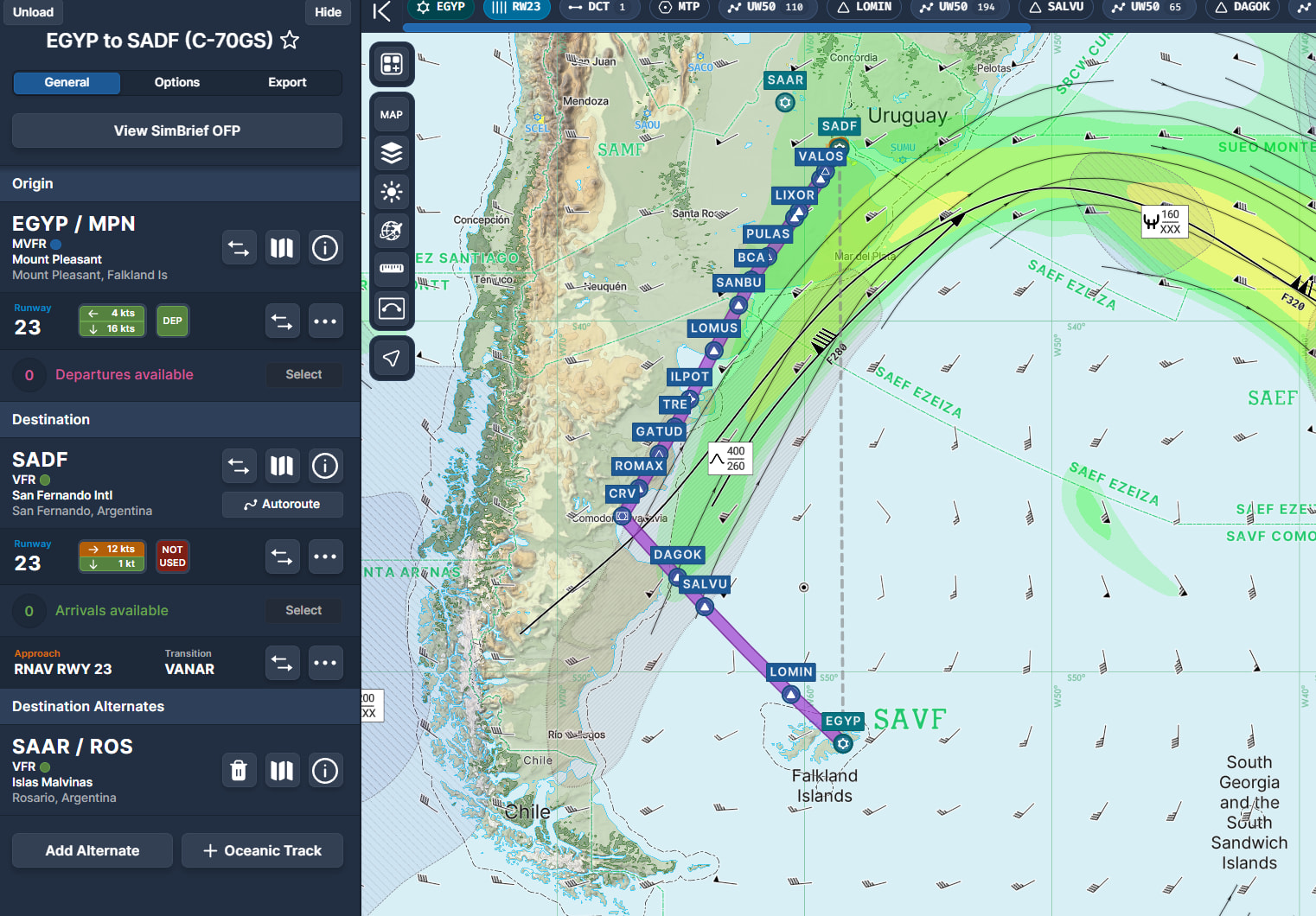
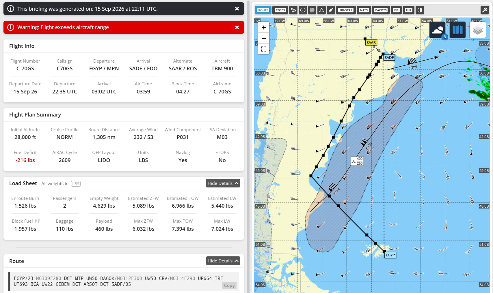
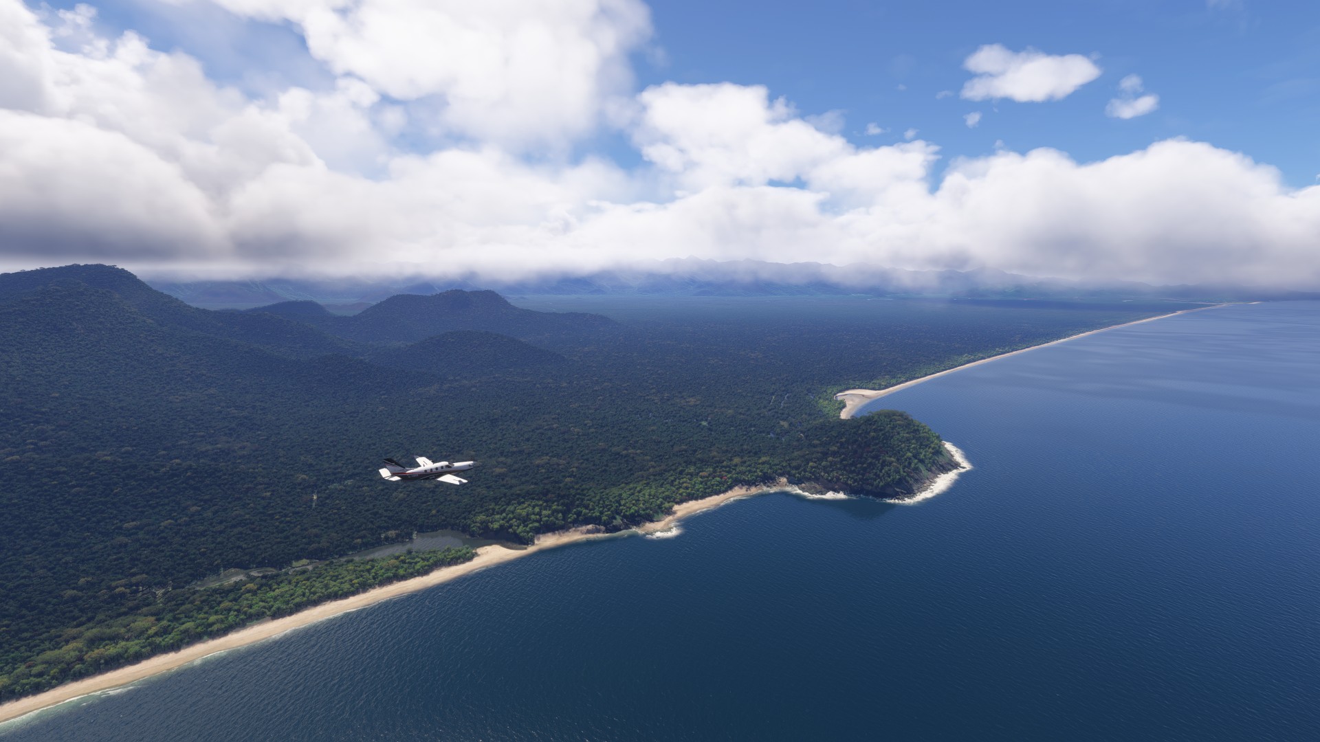
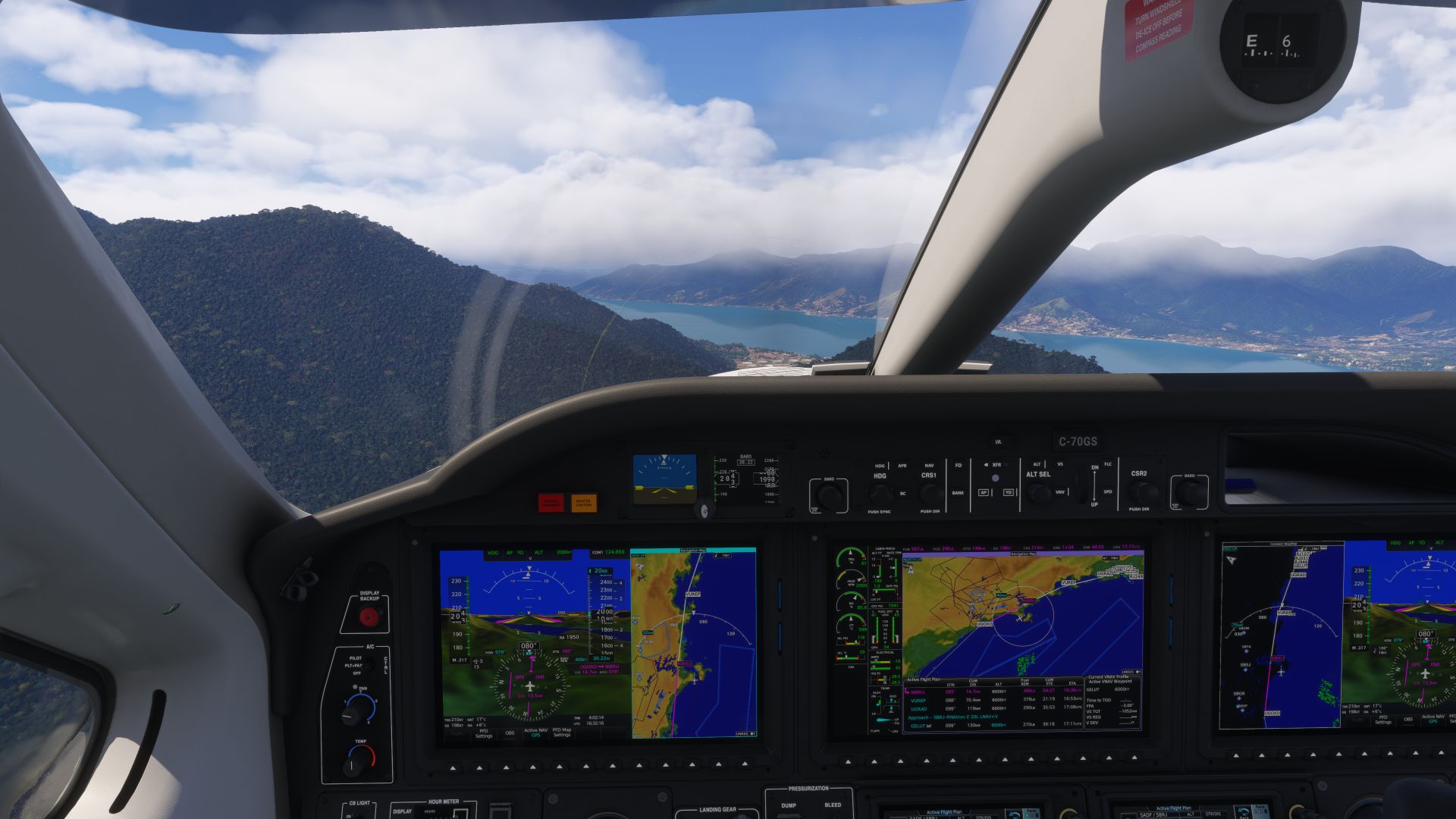
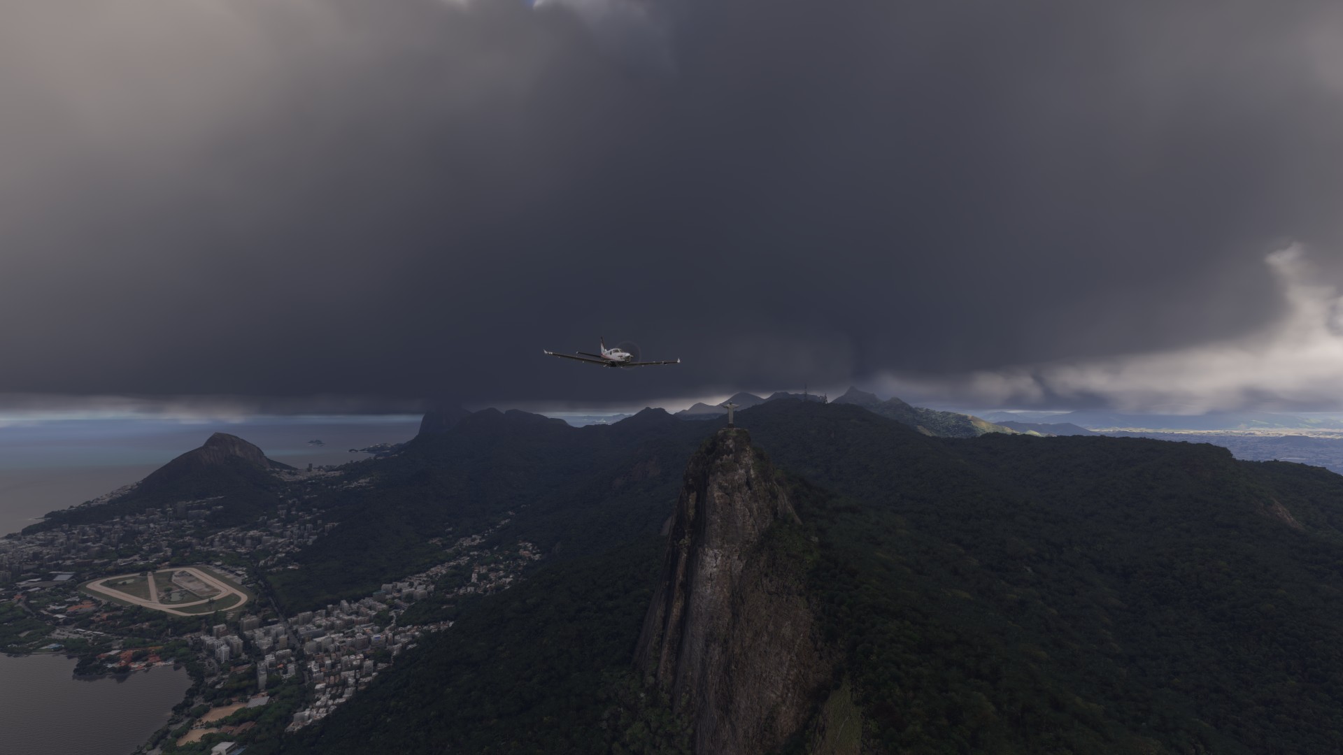
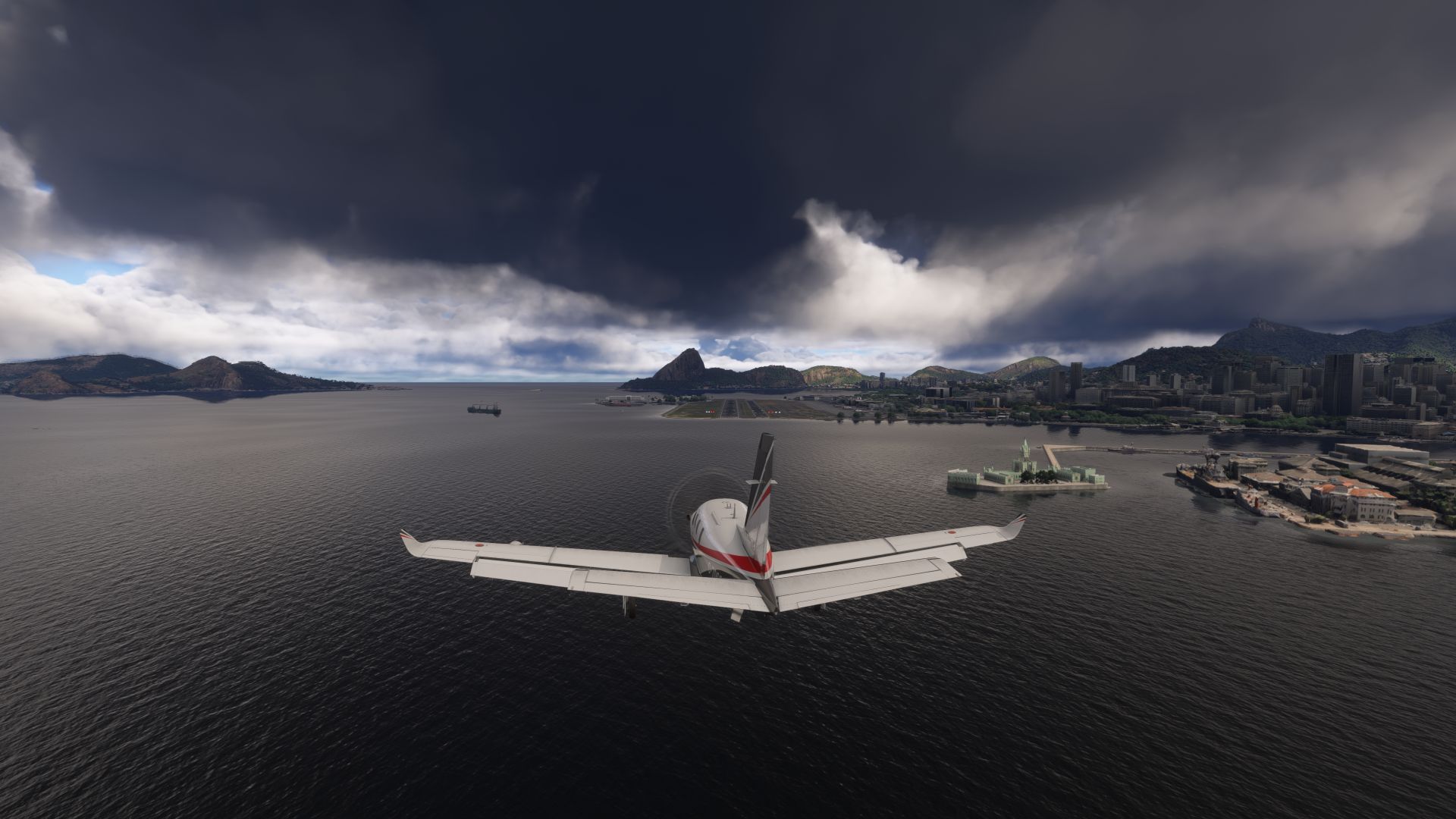
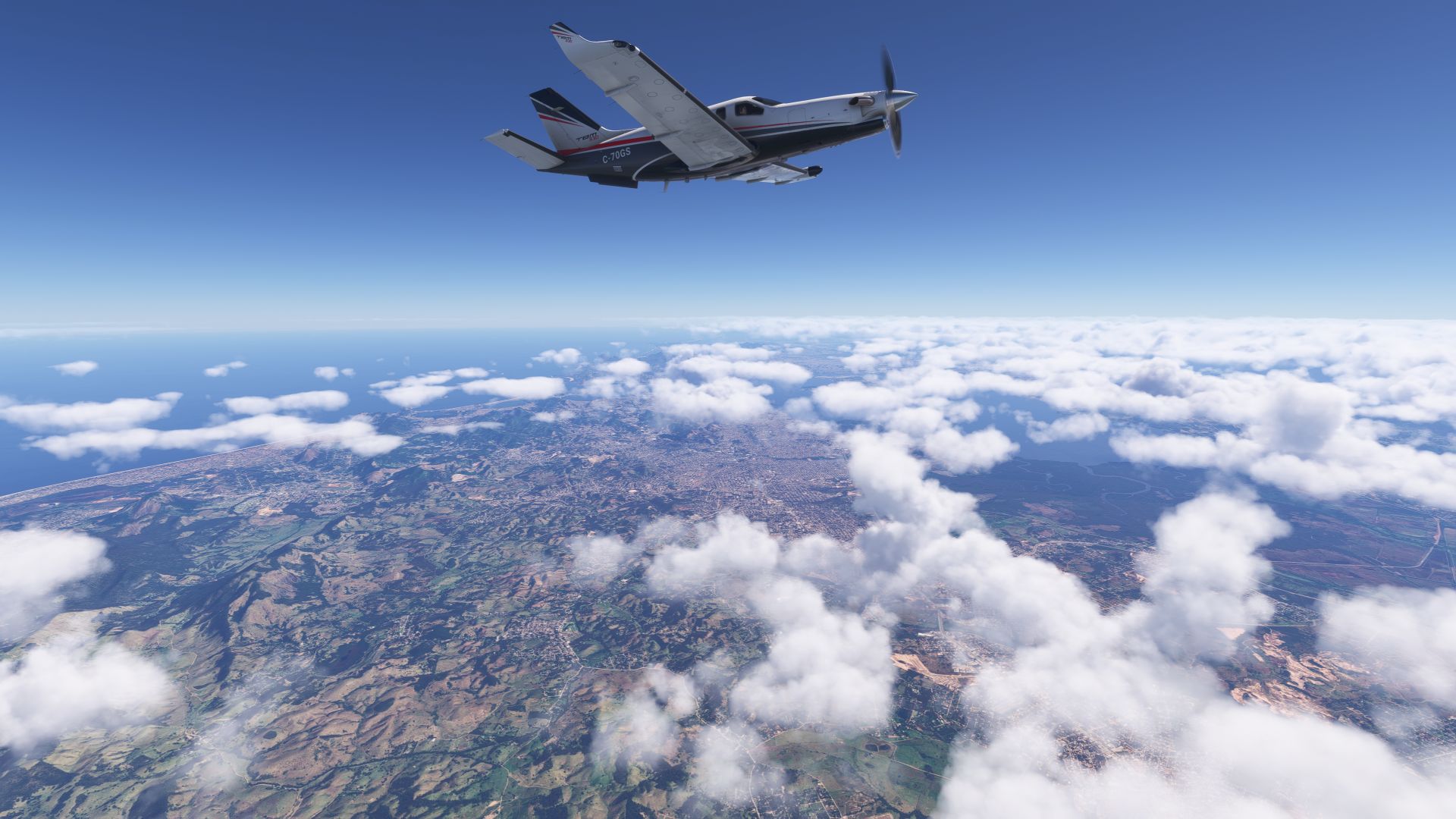
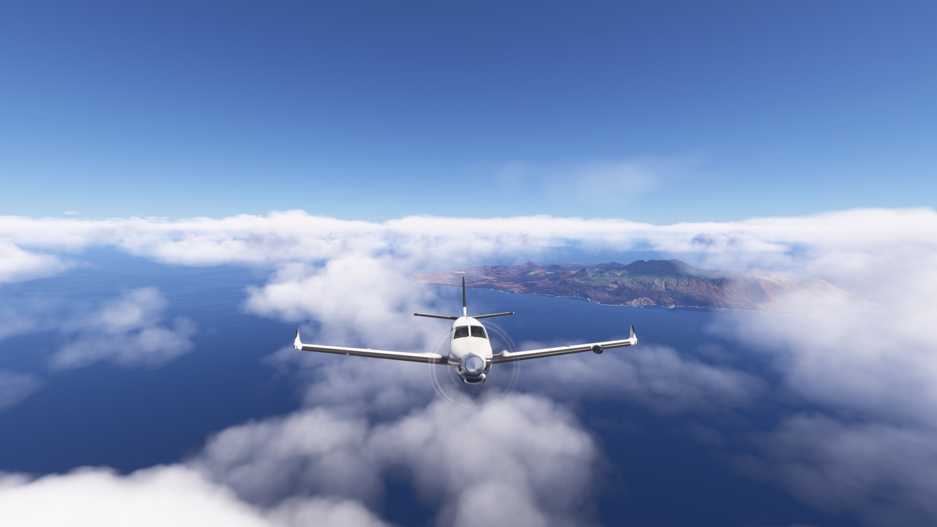
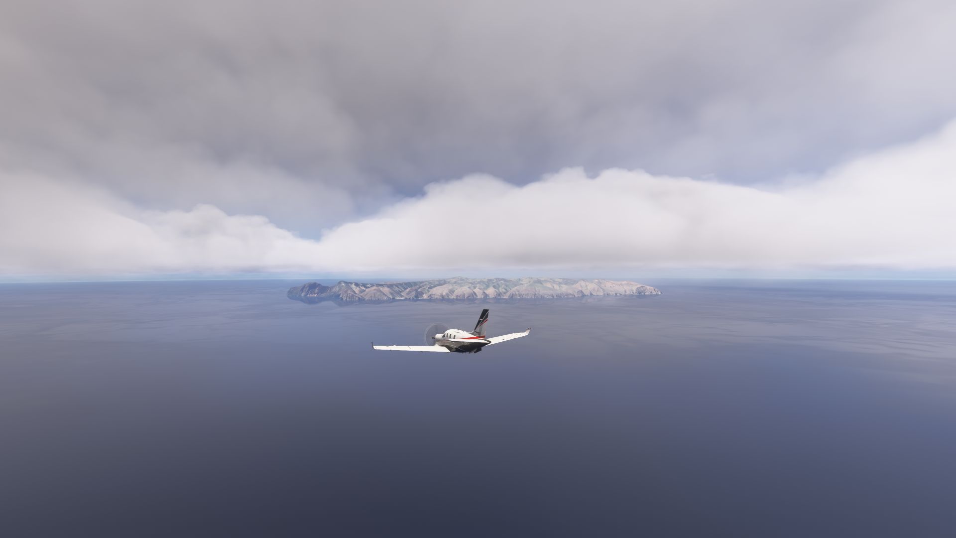
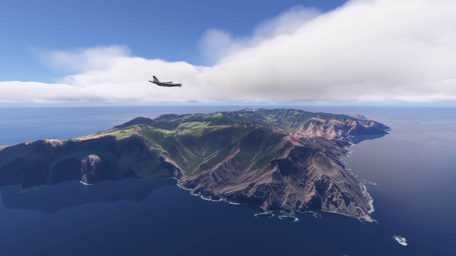
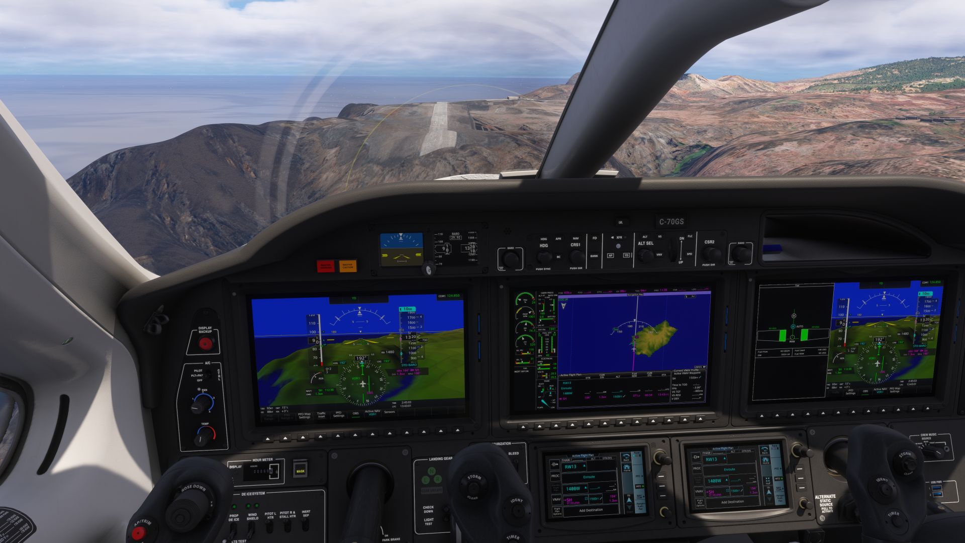
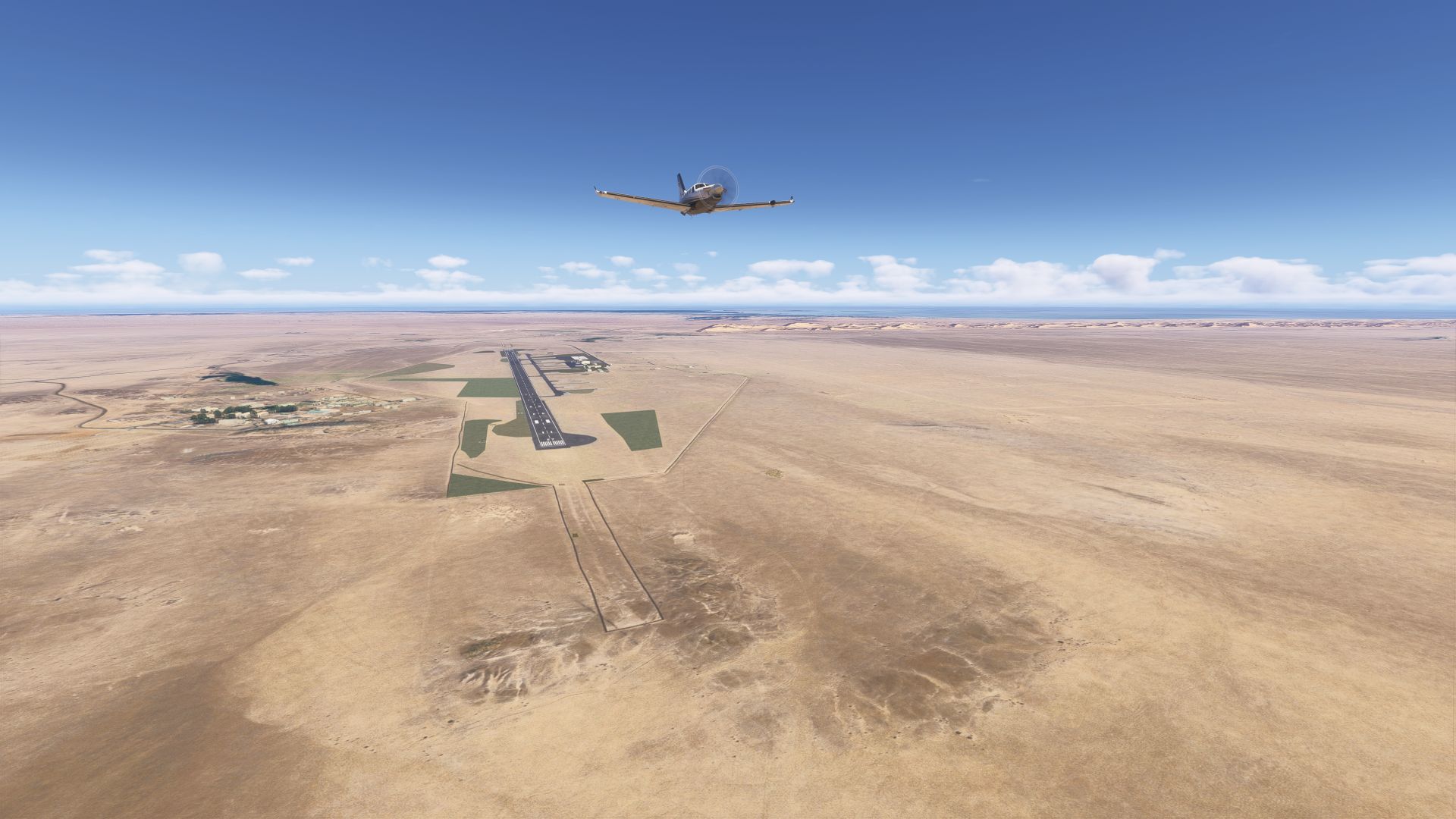
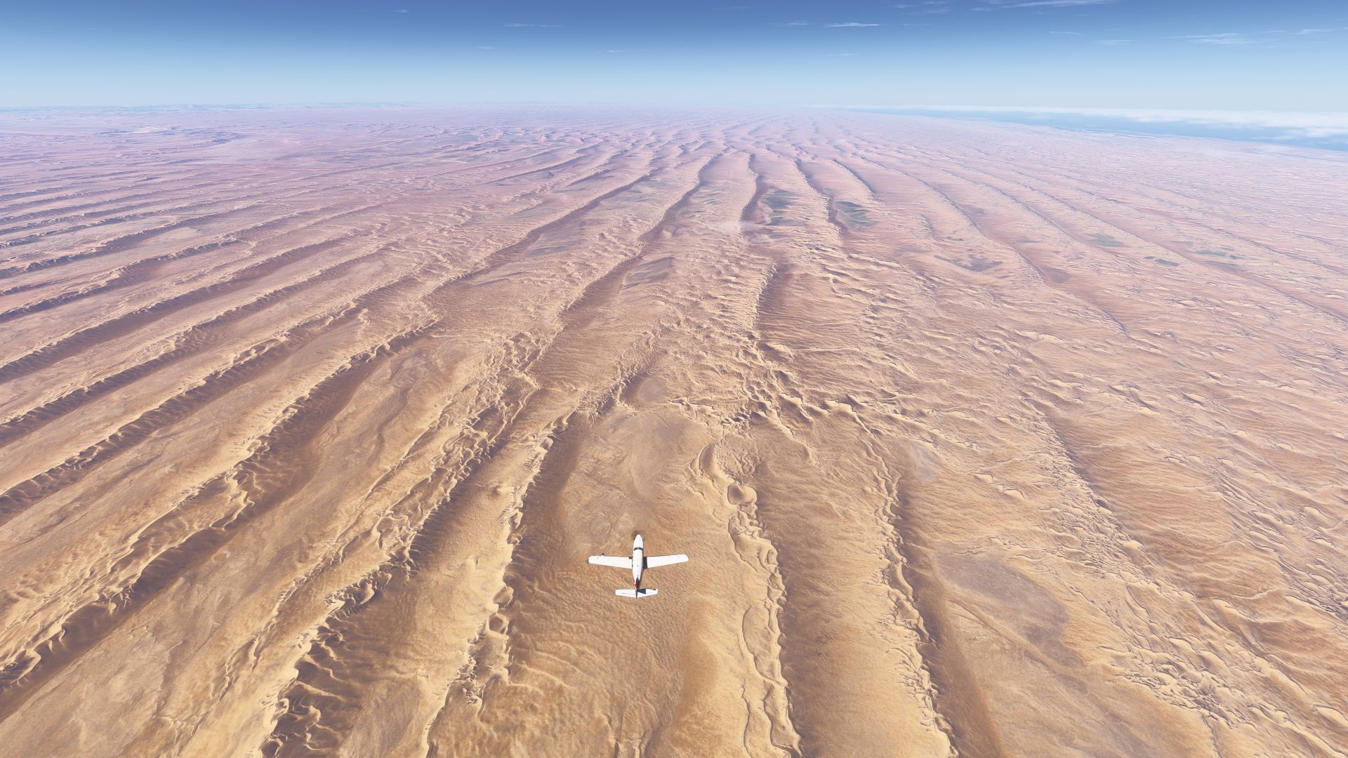
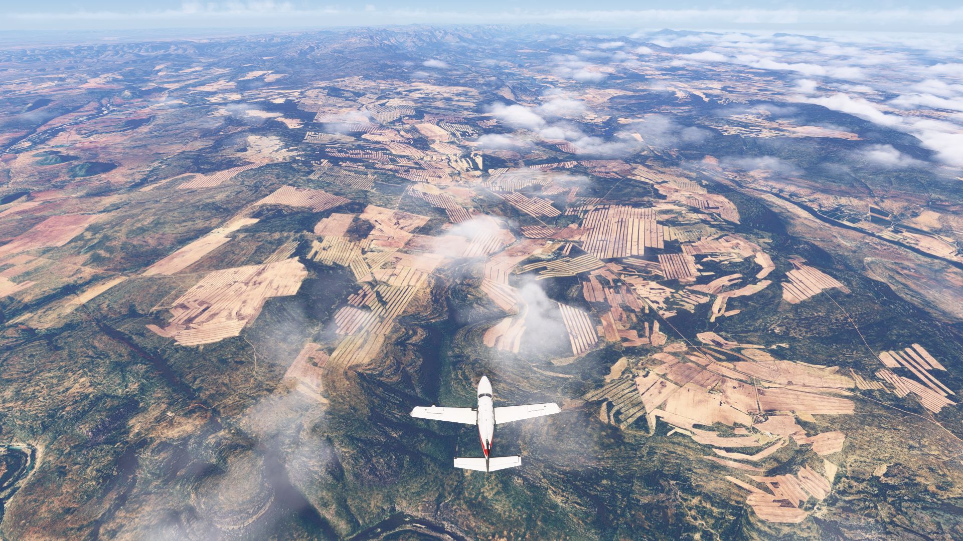
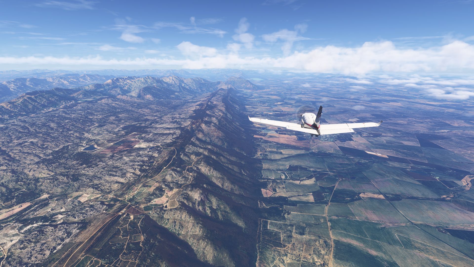
Having spent the day in Santiago, I can’t resist the views of the snowy Andes, and we are taking a detour South along the Patagonia glaciers. We will make a fuel stop at SCTE Puerto Montt, then cross the Strait of Magellan to Tierra del Fuego, and land at SAWH Ushauaia, Argentina, (almost) within sight of Cape Horn at the southern tip of the continent.
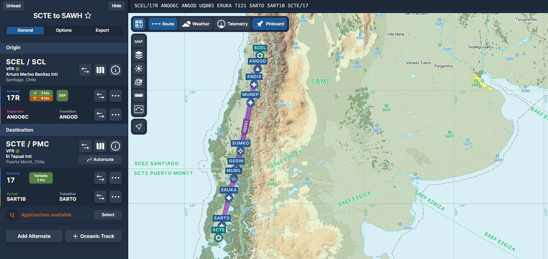
Leg 14A - SCEL Santiago to SCTE Puerto Montt, Chile...
SCEL/17R ANGO6C ANGOD UQ803 ERUKA T121 SARTO SART1B SCTE/17
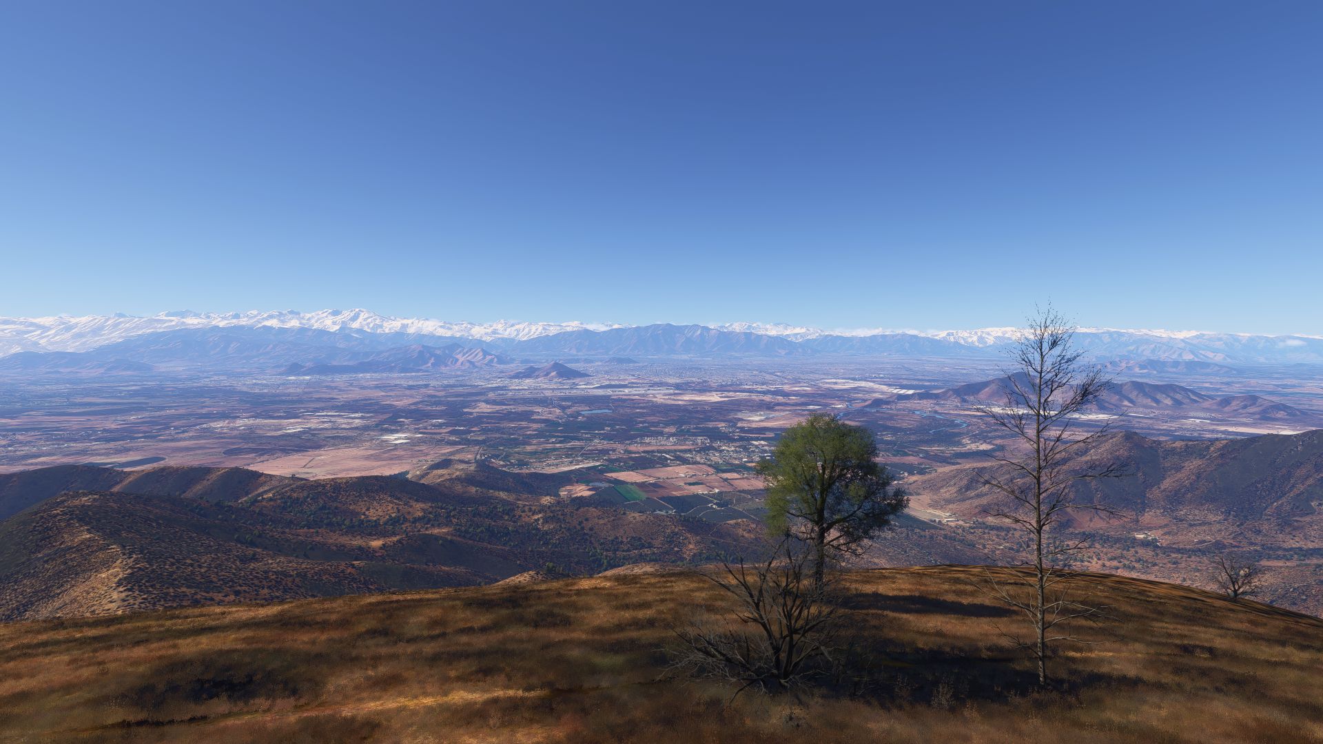
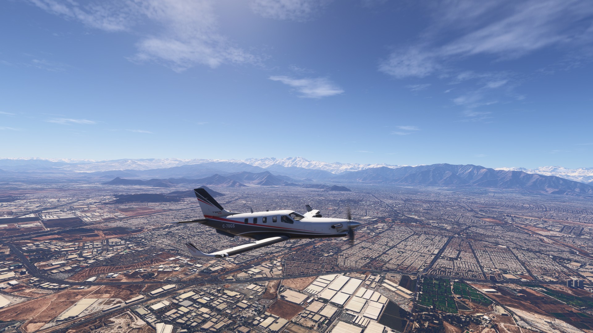
View of SCEL with Santiago in the distance
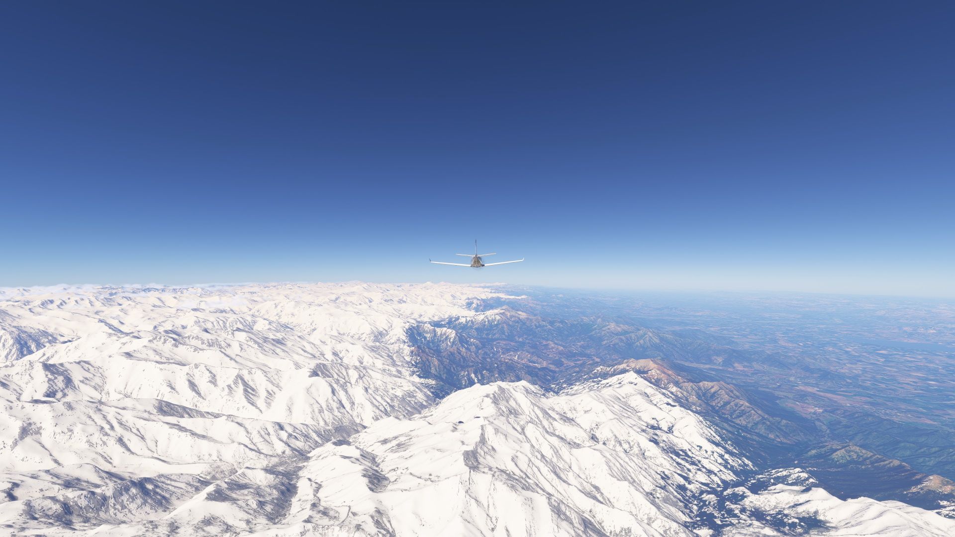
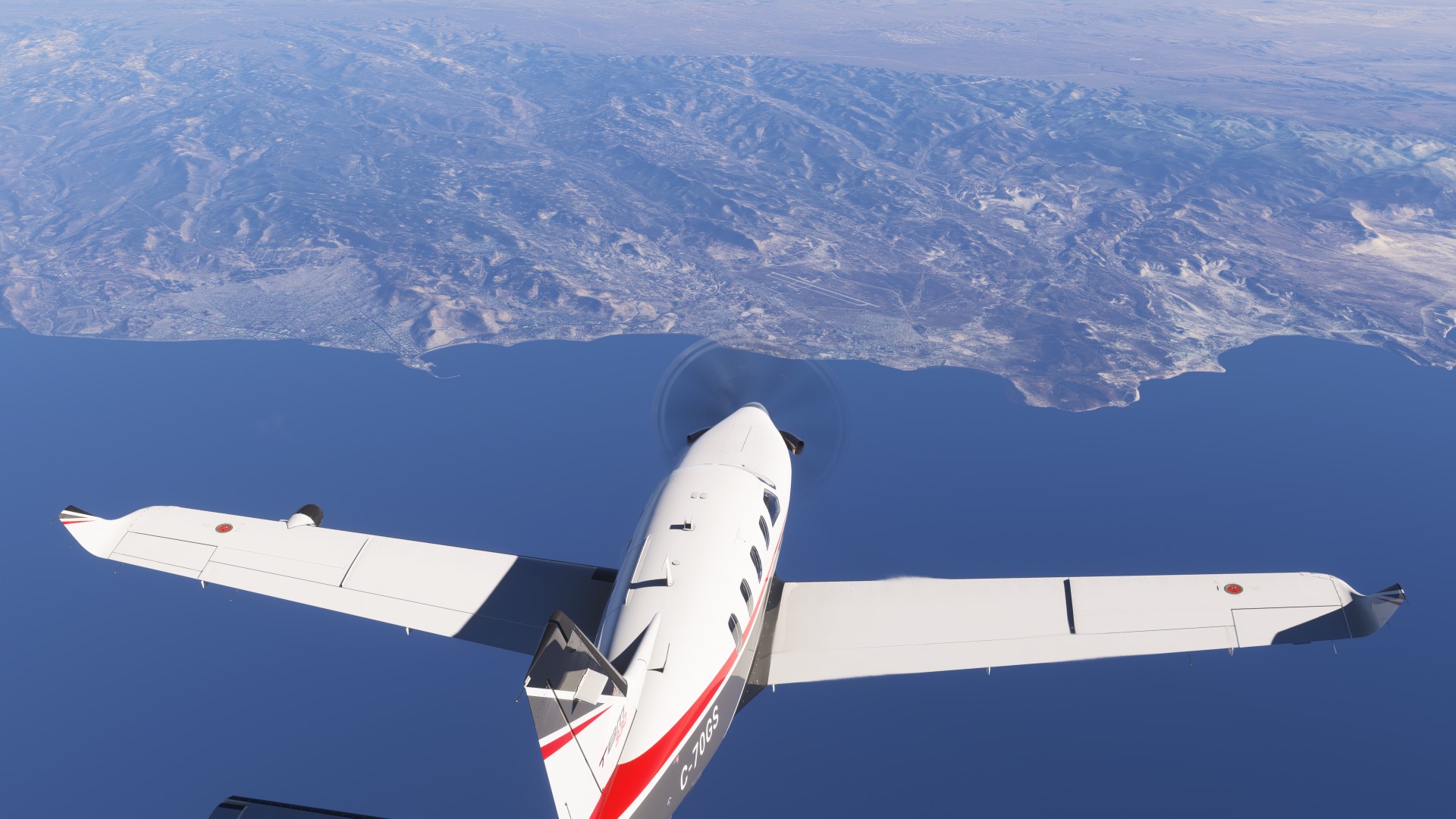
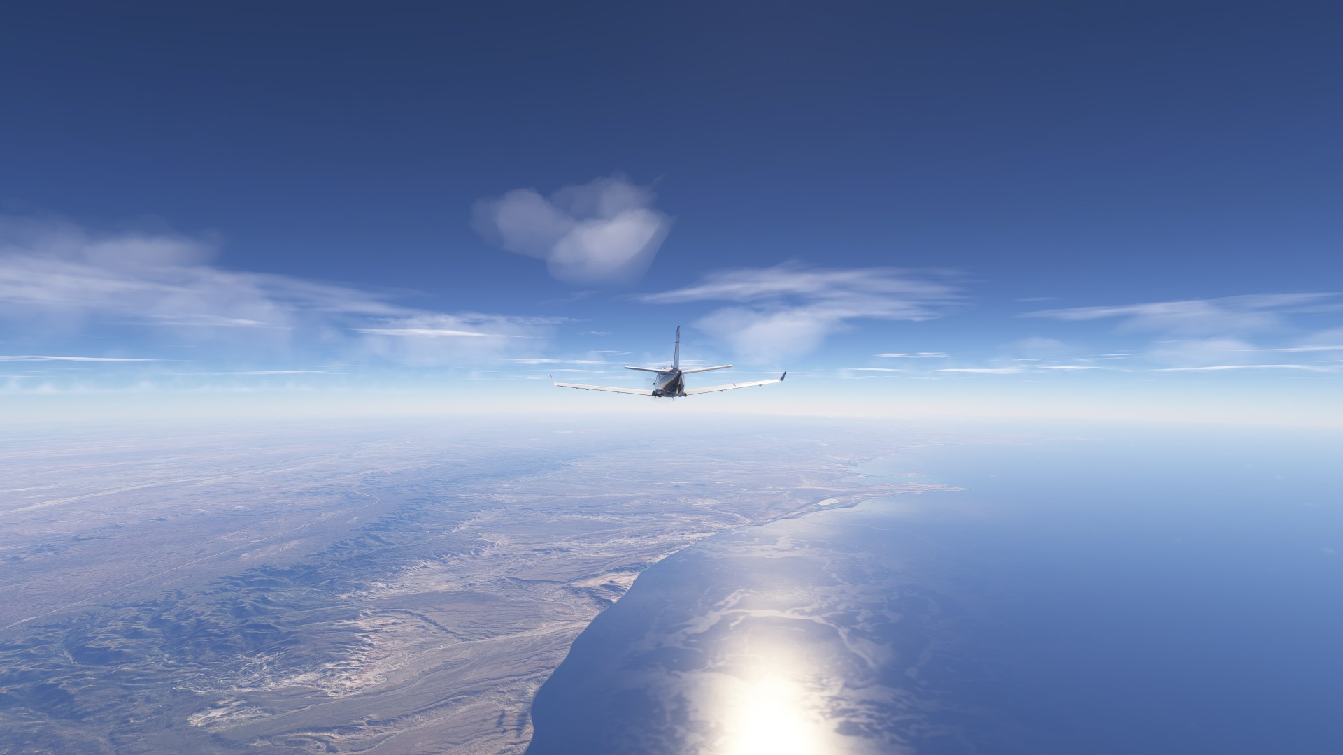
The Andes heading South
Many volcanos
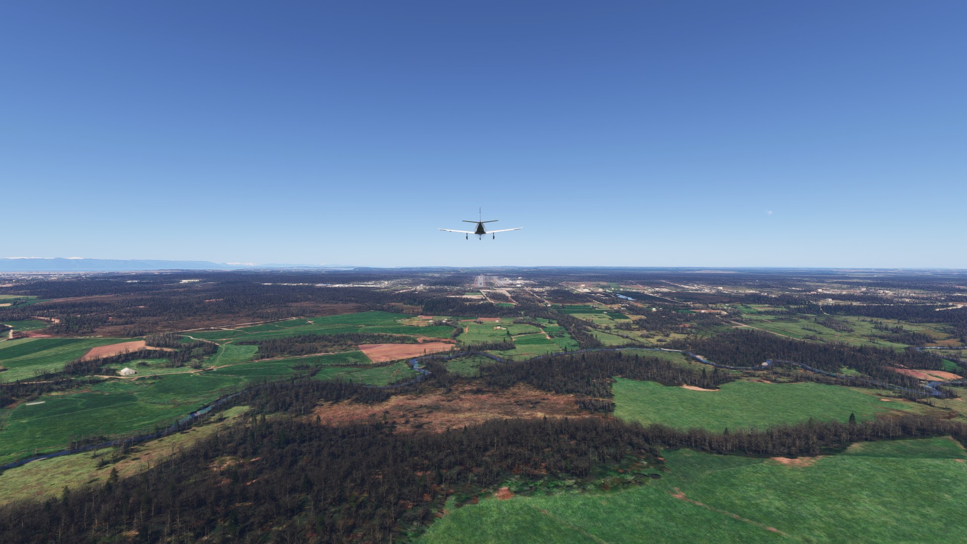
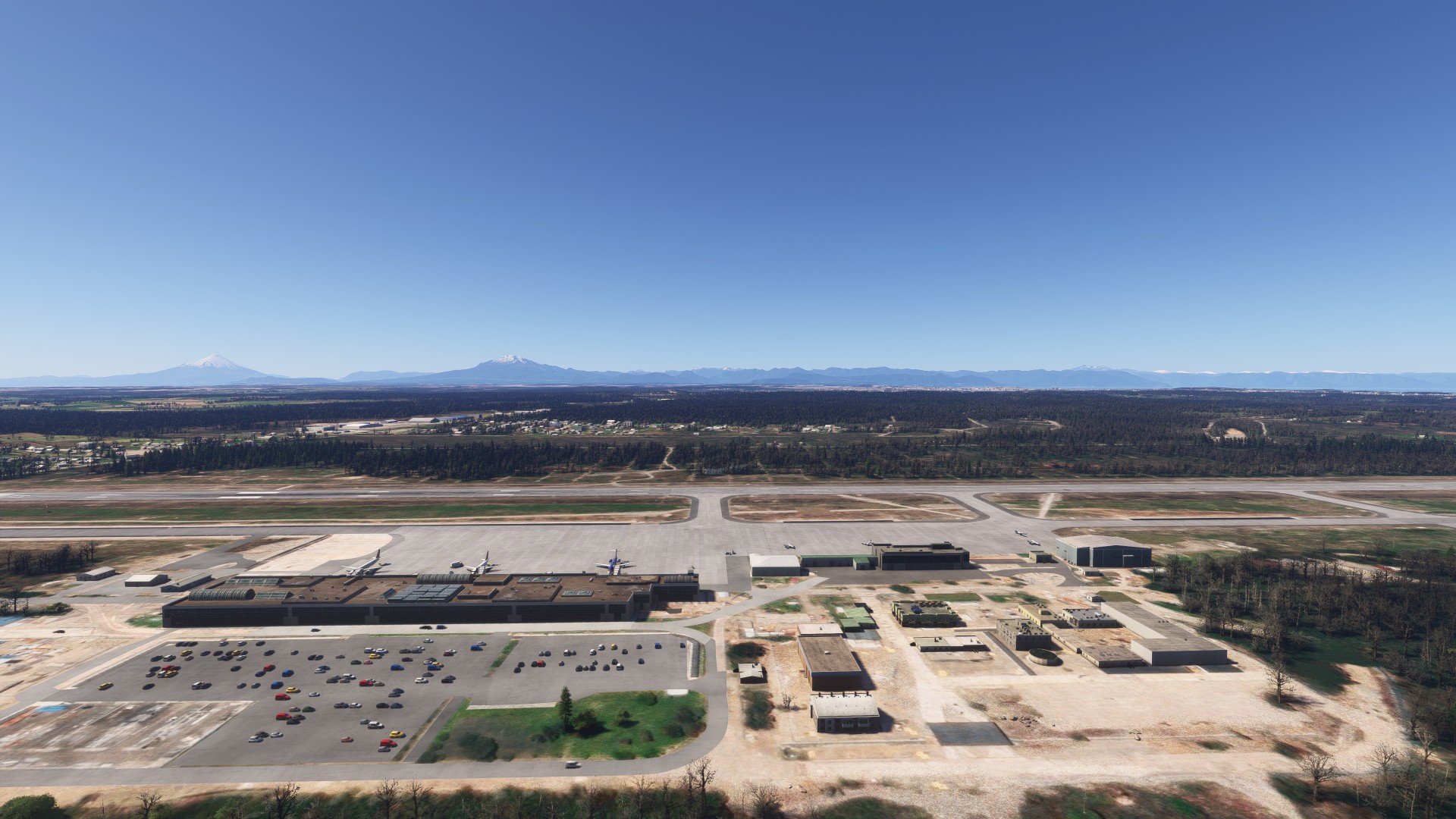
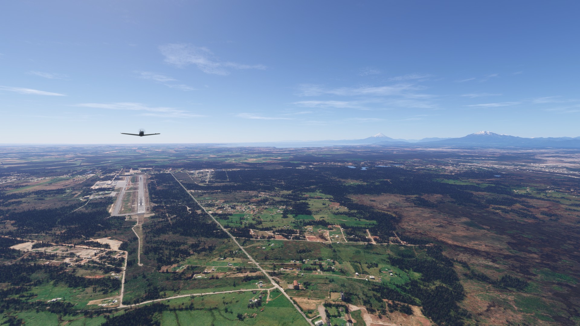
50 kt headwinds, our trip requires a fuel stop in Puerto Montt. This lush valley sits between the Pacific and the Andes, and with the clear sky and mountains in the background, it is stunning.
After filling up, we made the 3+ hour leg against a pretty stubborn headwind, meandering along the ridge of the Andes to the South
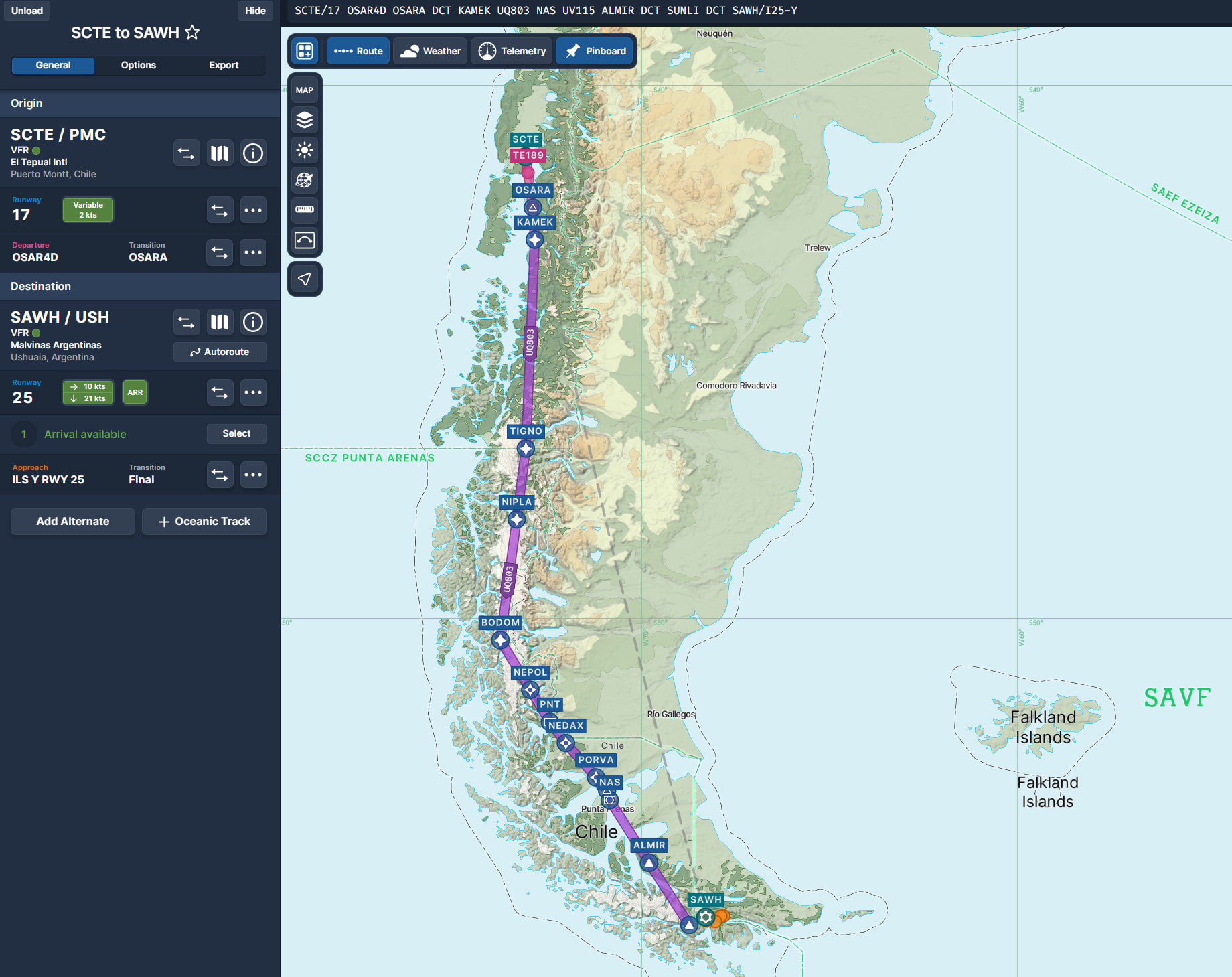
Leg 14B - SCTE Puerto Montt to SAWH Ushuaia
SCTE/17 OSAR4D OSARA KAMEK UQ803 NAS UV115 ALMIR SUNLI SAWH/I25-Y
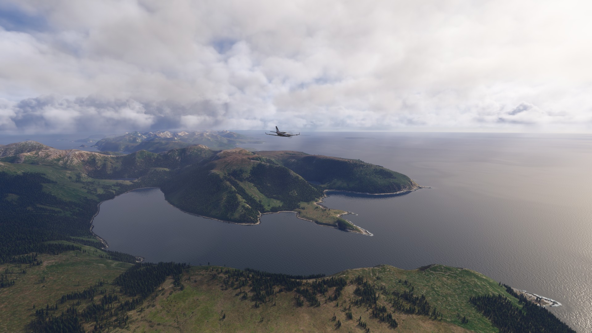
High altitude glaciers feeding lakes in Chile and Argentina
The Strait of Magellan is 570 km and cuts through the bottom of South America between the Pacific and Atlantic oceans. According to Google… Portuguese explorer Ferdinand Magellan first sailed through this strait in November 1520 during his world-circumnavigating expedition. He named it Estrecho de Todos los Santos (Strait of All Saints). The King of Spain later renamed it in Magellan’s honor. Before the Panama Canal opened in 1914, the strait was a major global trade route linking the two major oceans
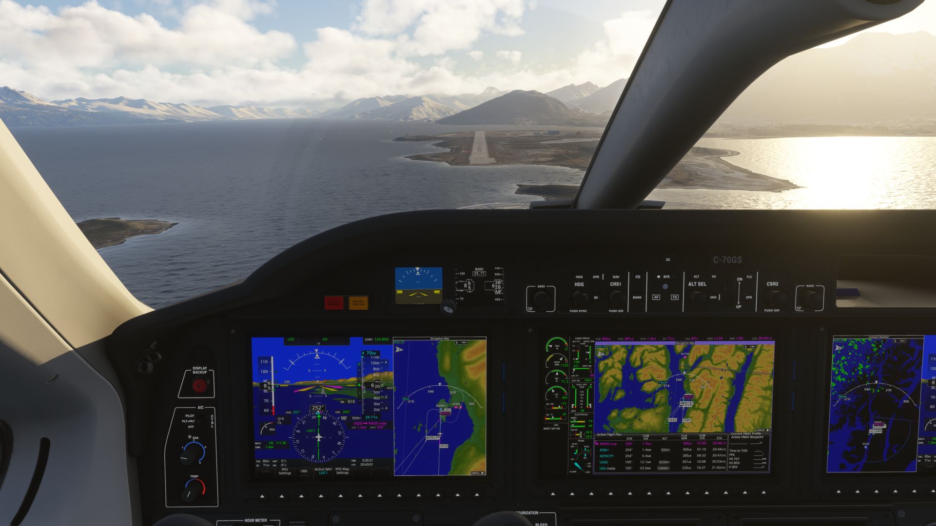
Arriving over SAWH was breathtaking, and spicy, I had a 50 kt headwind over the hills on final, which suddenly dropped to 15 kt and I almost stalled.
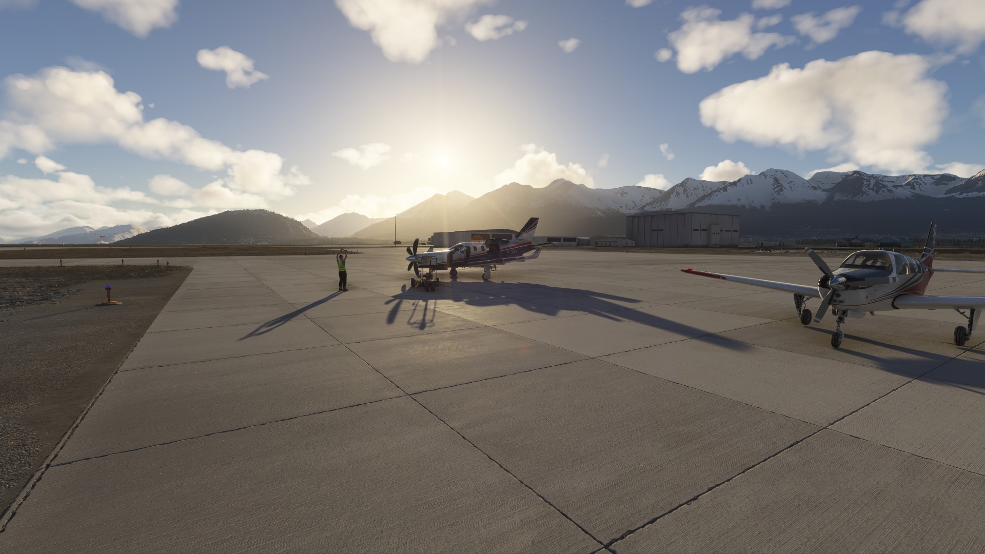
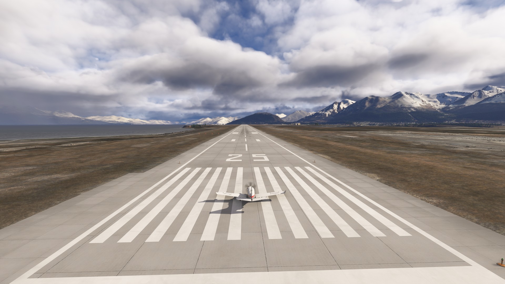
SAWH Ushuaia, Argentina
The Detour will finally take us to the Falkland Islands before getting back on track to Buenos Aires tomorrow.
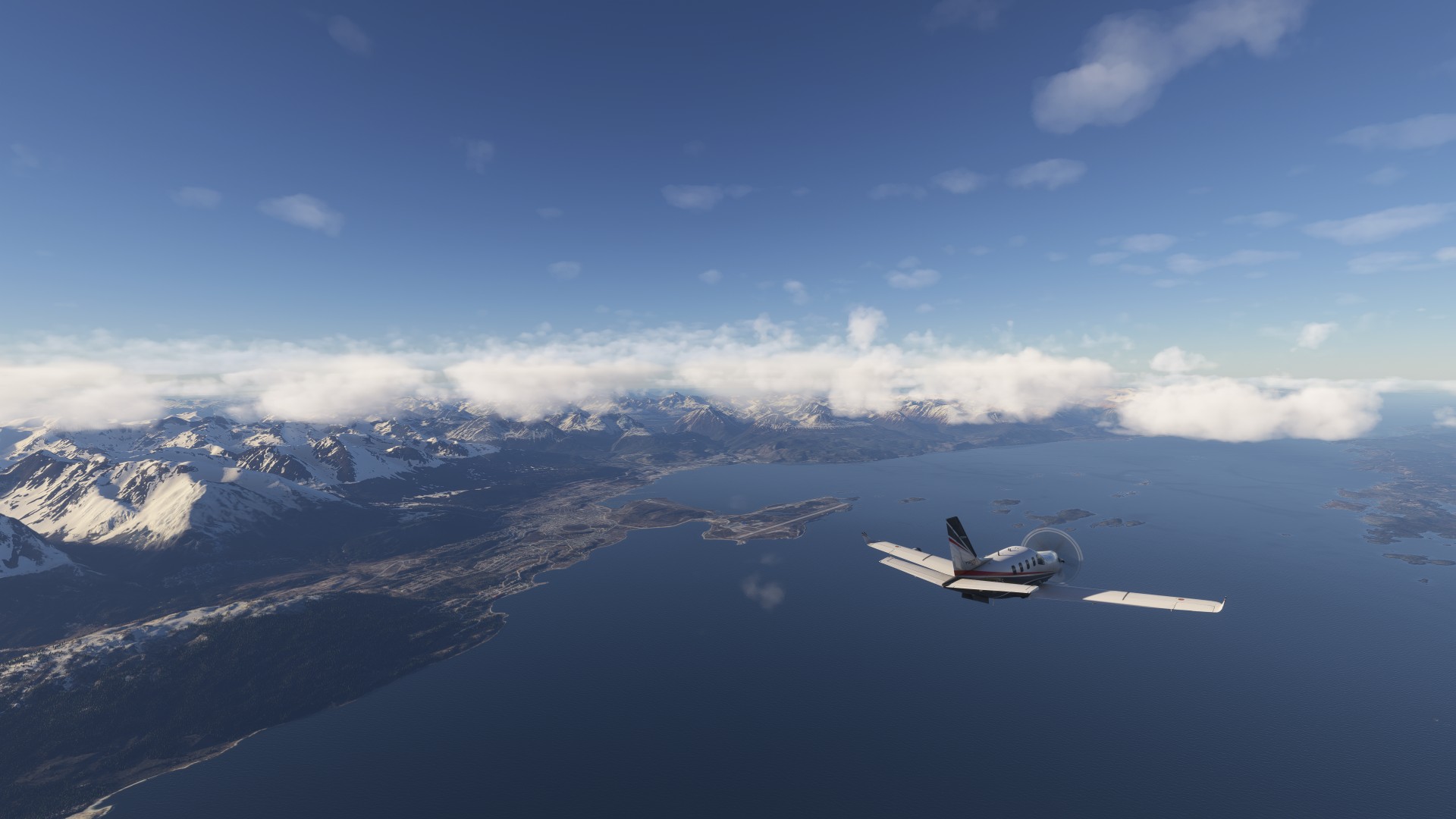
Off the southern tip of South America is the Isla de los Estados, known as the graveyard of ships. The Argentine Navy built a lighthouse somewhere here that inspired Jules Verne’s Lighthouse at the End of the World – I just want to fly over it, to see if it is depicted, and then make a fuel stop at Falkland Islands.
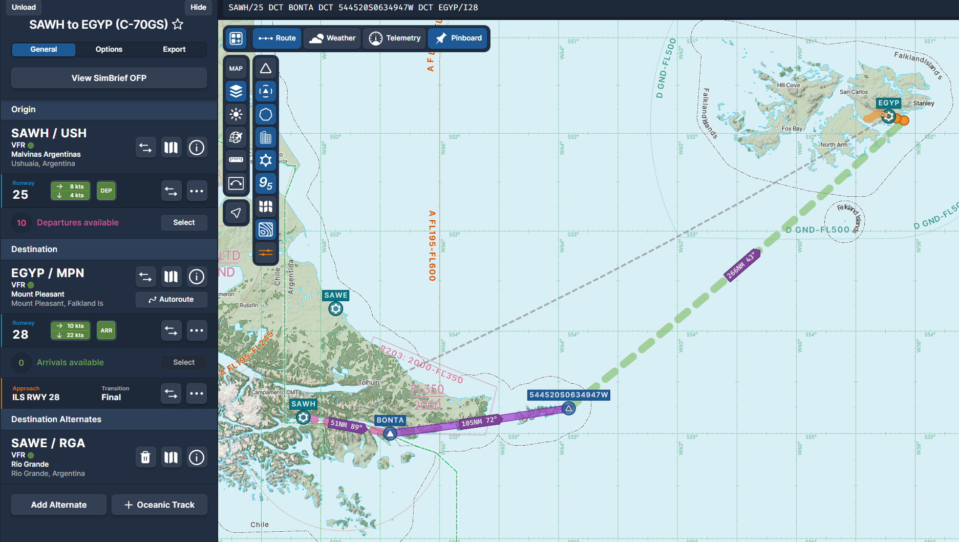
Leg 14C - SAWH Ushuaia to EGYP Falklands
SAWH/25 BONTA 544520S0634947W EGYP/I28
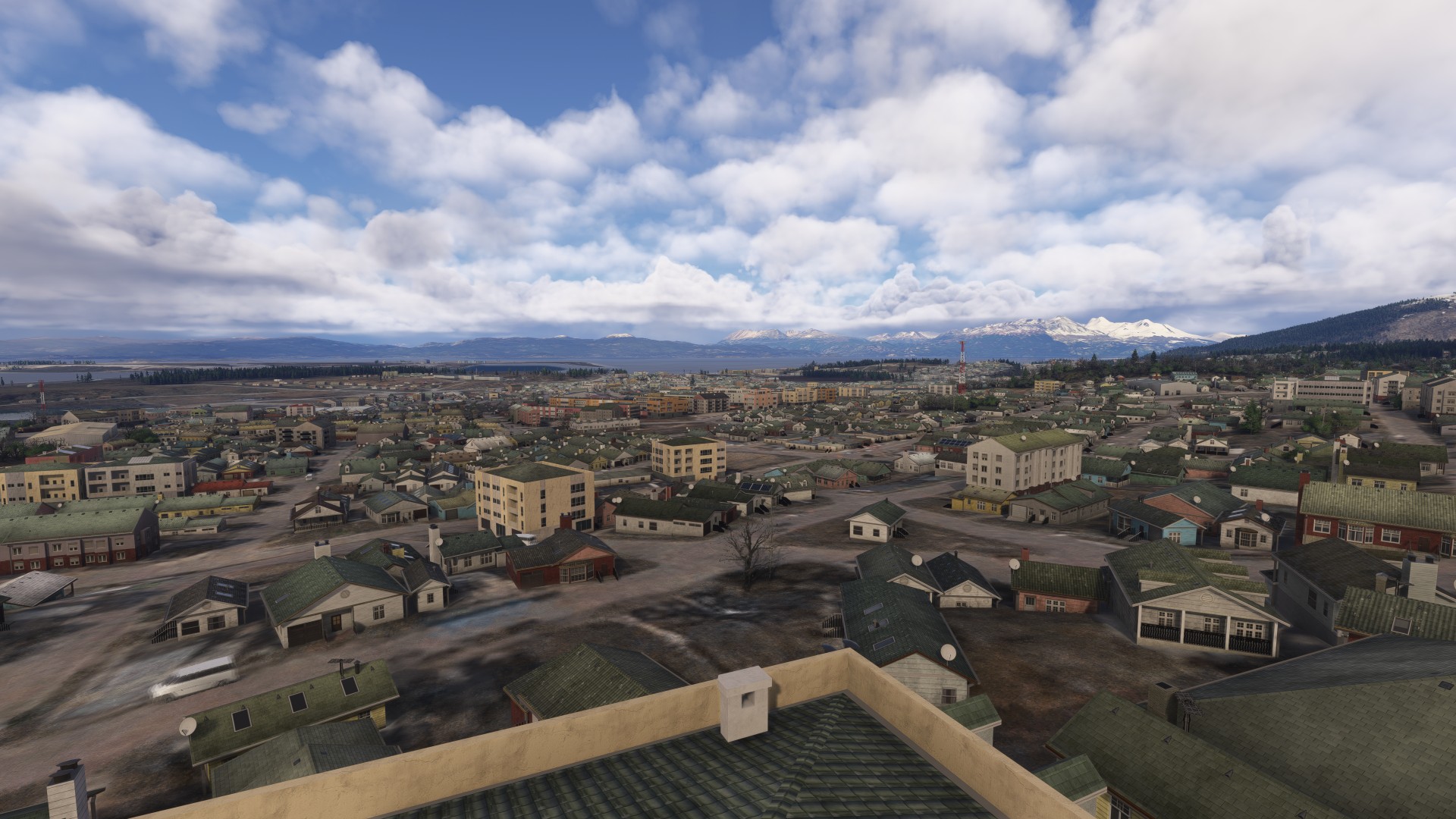
The town of Ushuaia, Argentina
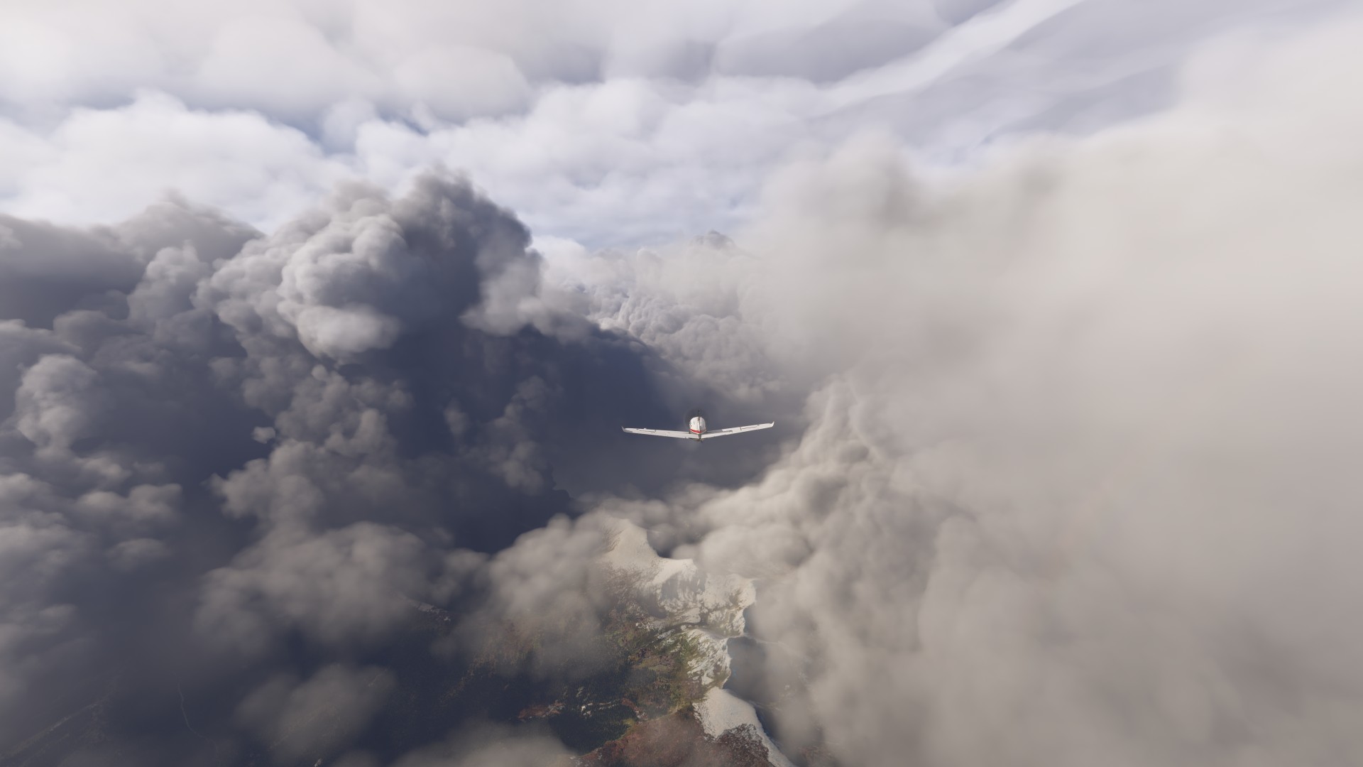
Anti-ice on. We’re not in Kansas any more.
Isla de los Estados, and the graveyard of ships
The San Juan de Salvamento Lighthouse, built by the Argentine Navy in 1894 would be here somewhere (not depicted in the sim), and inspired Jules Verne’s Lighthouse at the End of the World.
The Falkland Islands were not what I expected. They are very flat and barren (at least as depicted in MSFS).
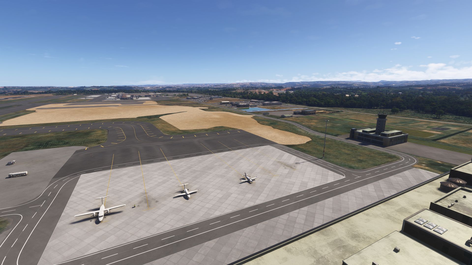
EGYP Mt Pleasant Airport, Falklands
We took the shuttle bus to Port Stanely for the night.
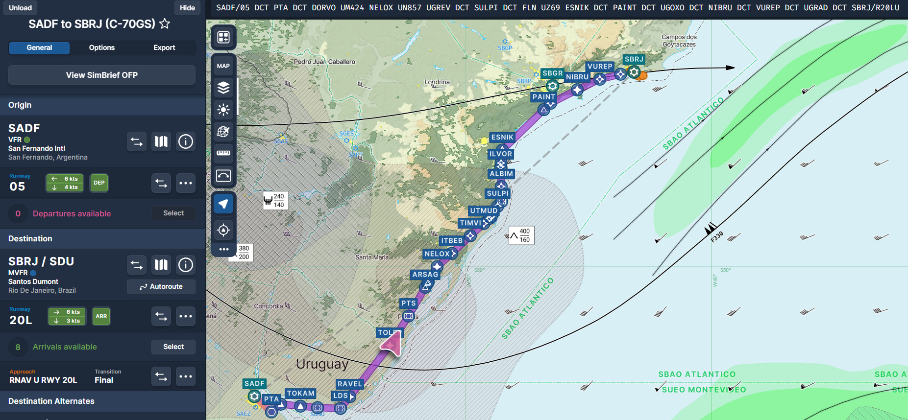
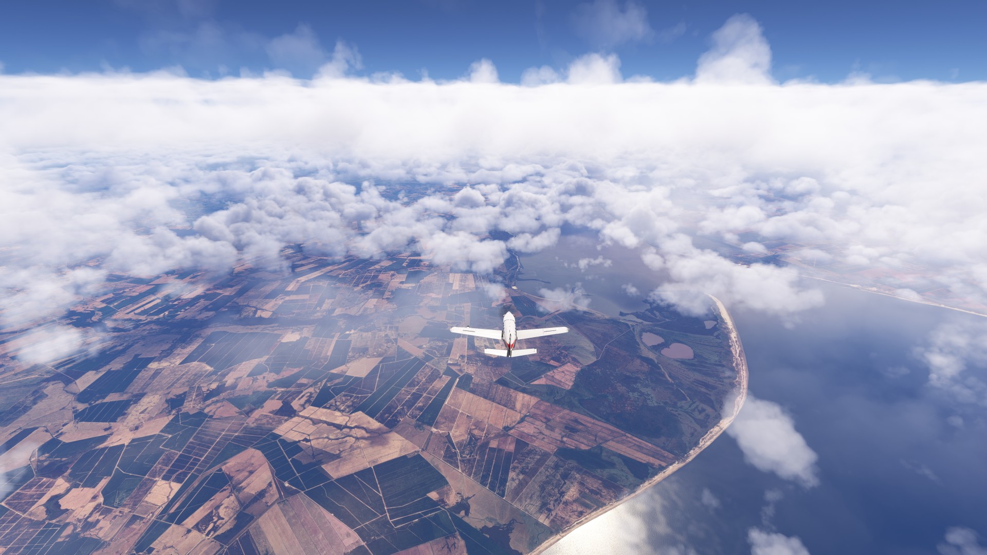
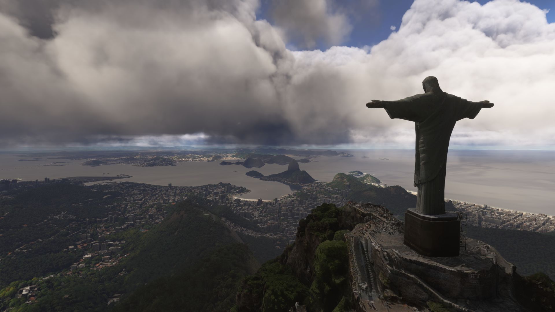
Today we are heading from Rio to Recife, on the Eastern-most point of Brazil, specifically because it is closest point to tomorrow’s stop at Ascension. A bit cloudy today, so we’ll climb high, then descend below the clouds to see the coast near Recife.
We will be picking up an important passenger in Recife… more about that later.
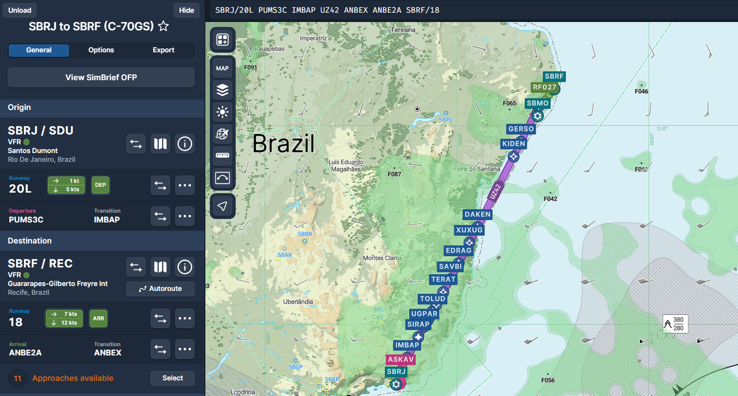
Leg 16 - SBRJ Rio to SBRF Recife, Brazil
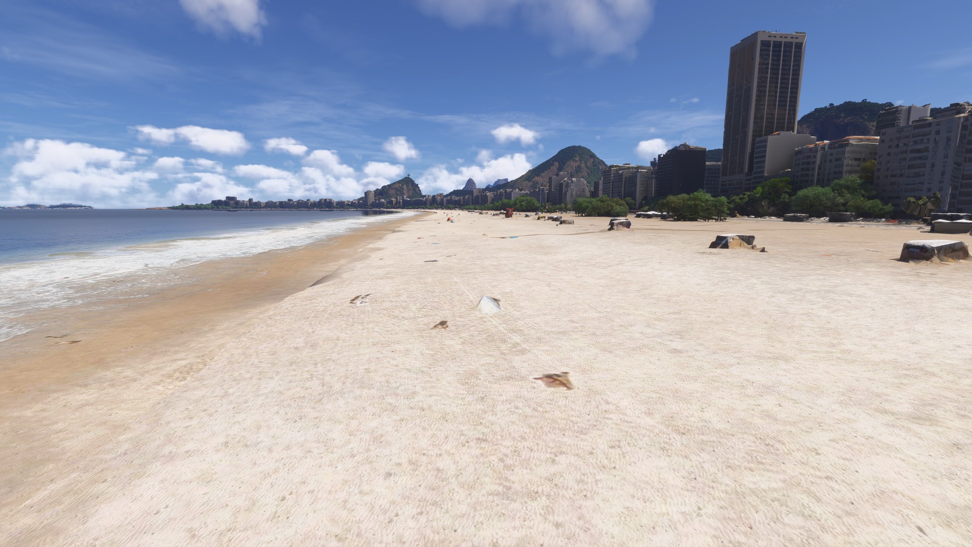
Up early to walk the beach
And fuel up with some coffee
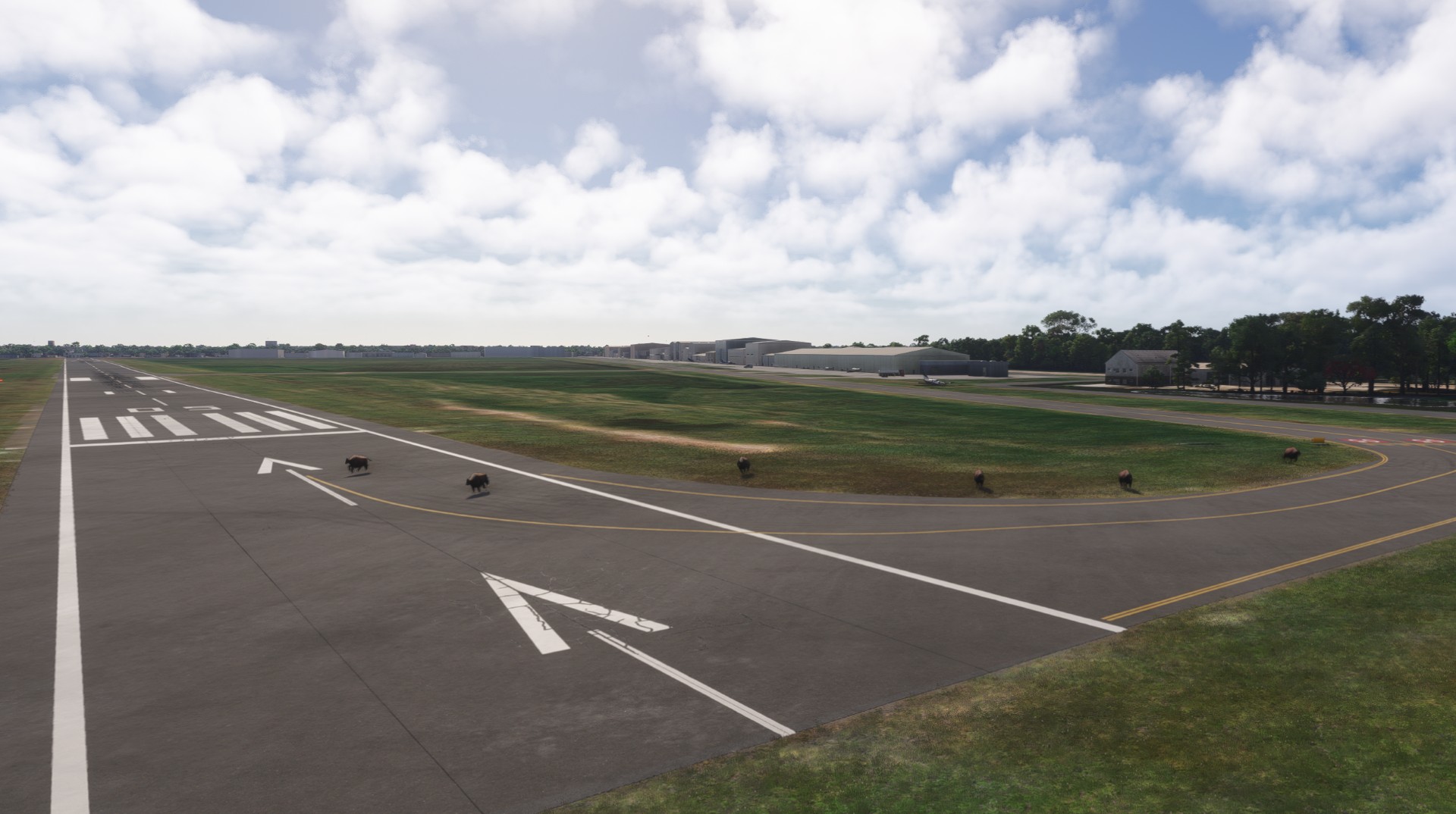
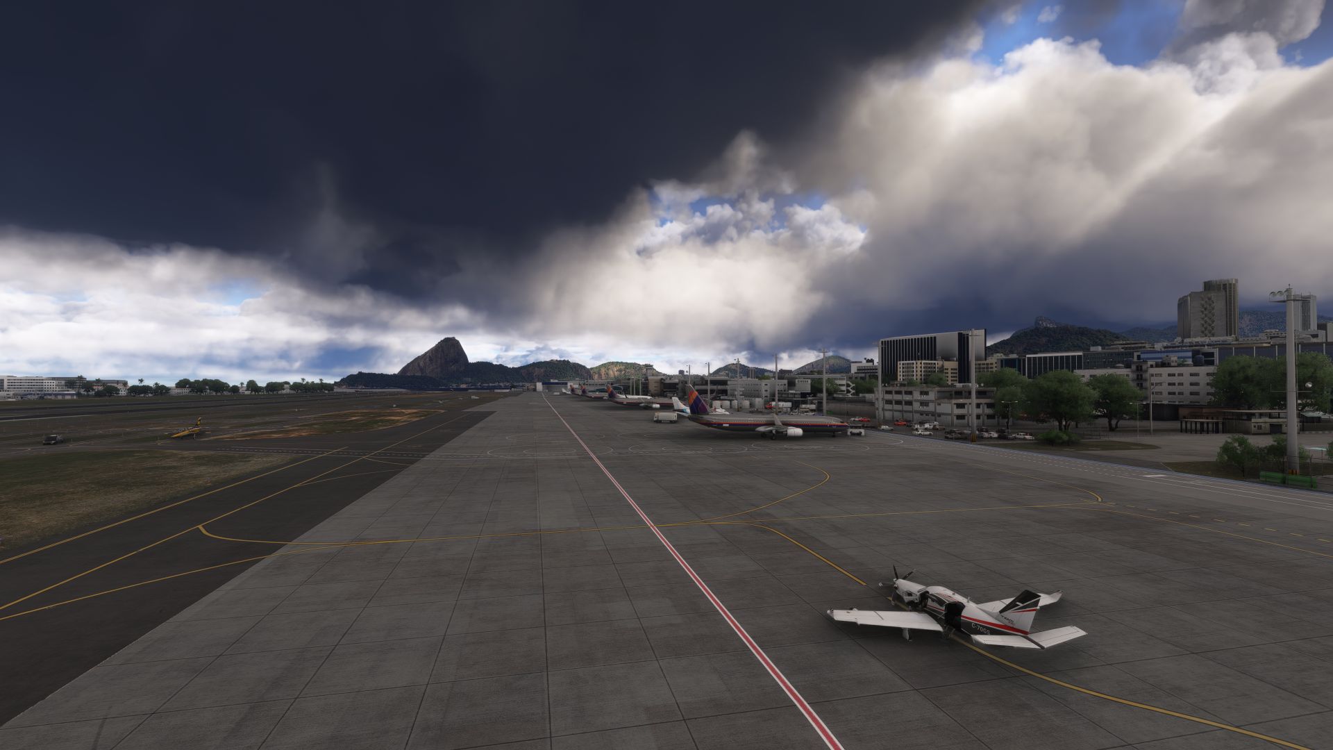
Departing SBRJ Santos Dumont, Rio
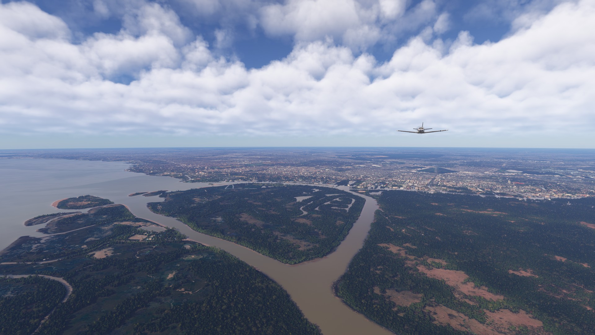
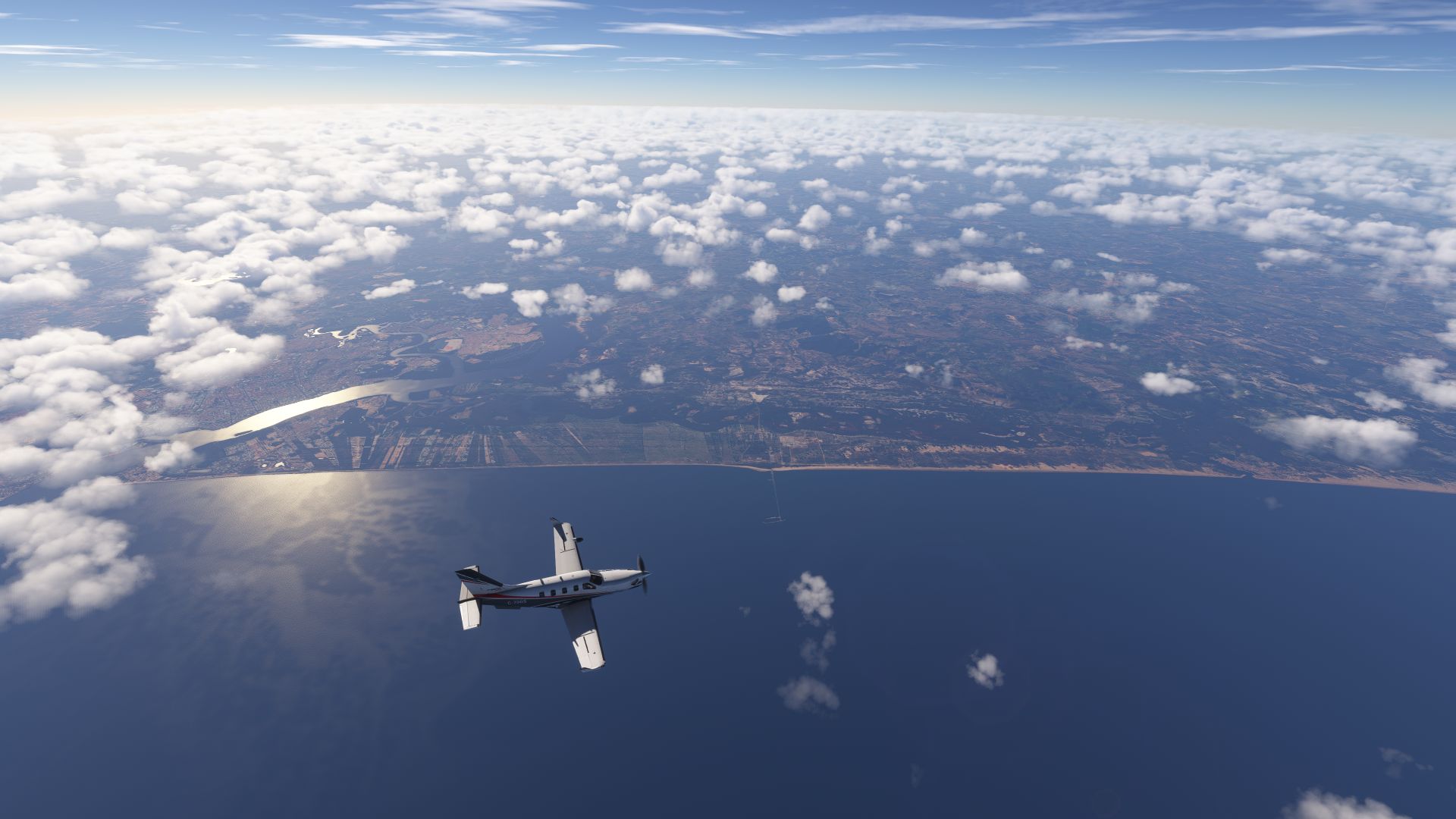
Hugging the coast north from Rio
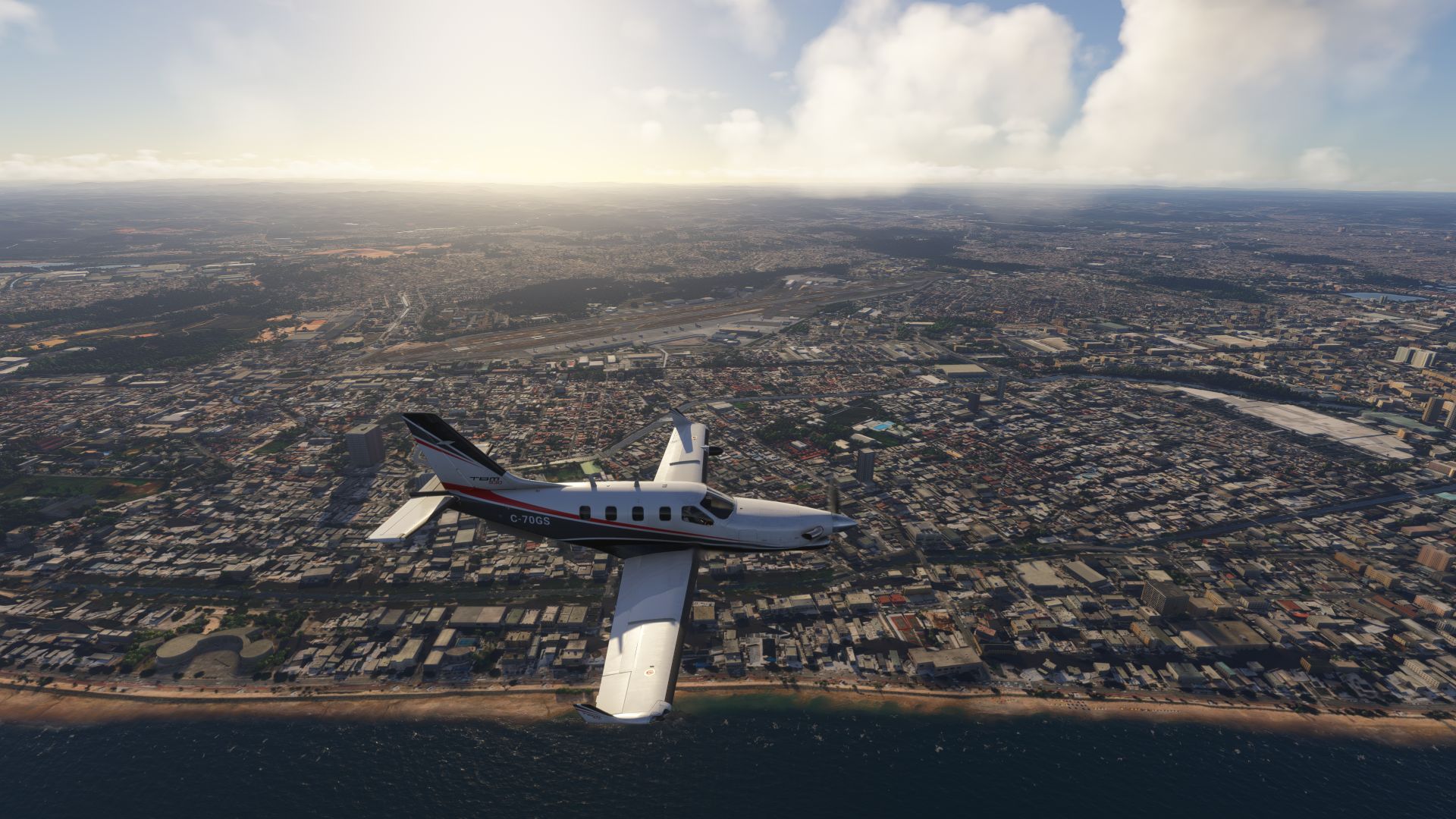
Arriving at Recife at dusk
Some very stealthy looking black Airbuses (I have BeyondATC with BravoATG, AIG and FSLTL models, I wonder if there is an issue, or, if some special ops are happening…)
Already pre-fueled and getting a few hours of rest - we will be making a very early pre-dawn departure for Ascension…
Today is a 2-leg trip, to Ascension for fuel, then on to St Helena.
But Ascension is a problem.
Our whole trip to this point was quietly planned around making this next leg possible. It is a crucial fuel stop for us with no viable alternative - but it is also an Air Force Base, with strictly no private, charter, or commercial aircraft allowed…
… except one.
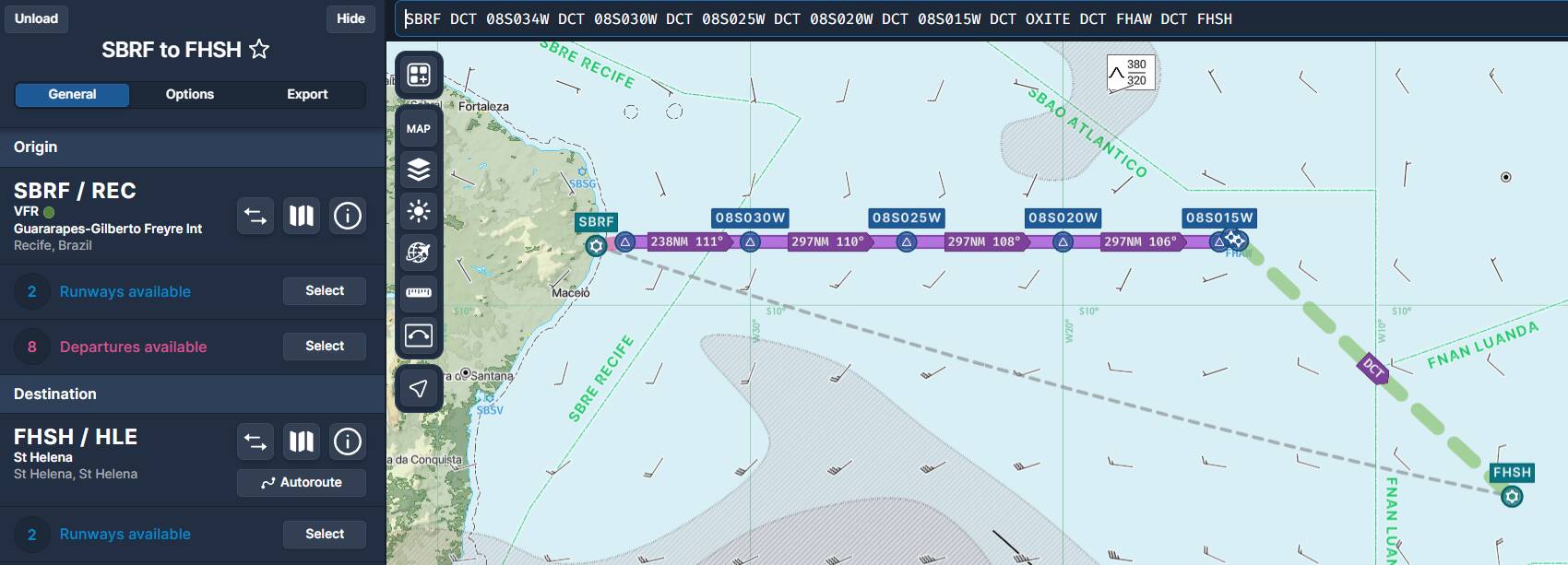
Leg 17 - SBRF Recife to FHAW Ascension
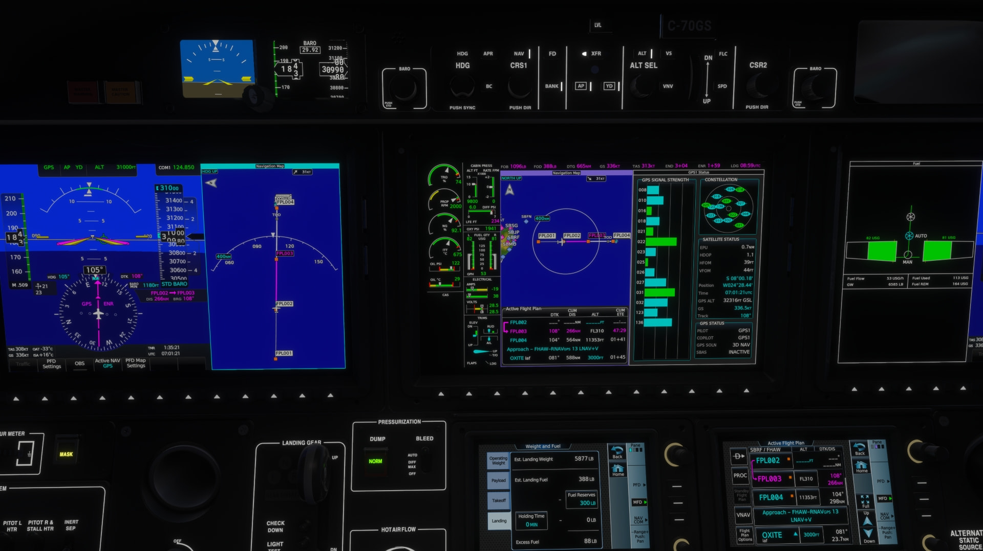
SBRF/18 08S034W 08S030W 08S025W 08S020W 08S015W OXITE FHAW/13
Once per month, there is a special flight between Ascension and St Helena operated by AirLink. Our friends, who are from the Falkland Islands, happen to be among the pilots called up on a rotation for this periodic flight. They convinced their airline to let us ferry them to Ascension for duty, which gave us the official cover needed for permission to land.
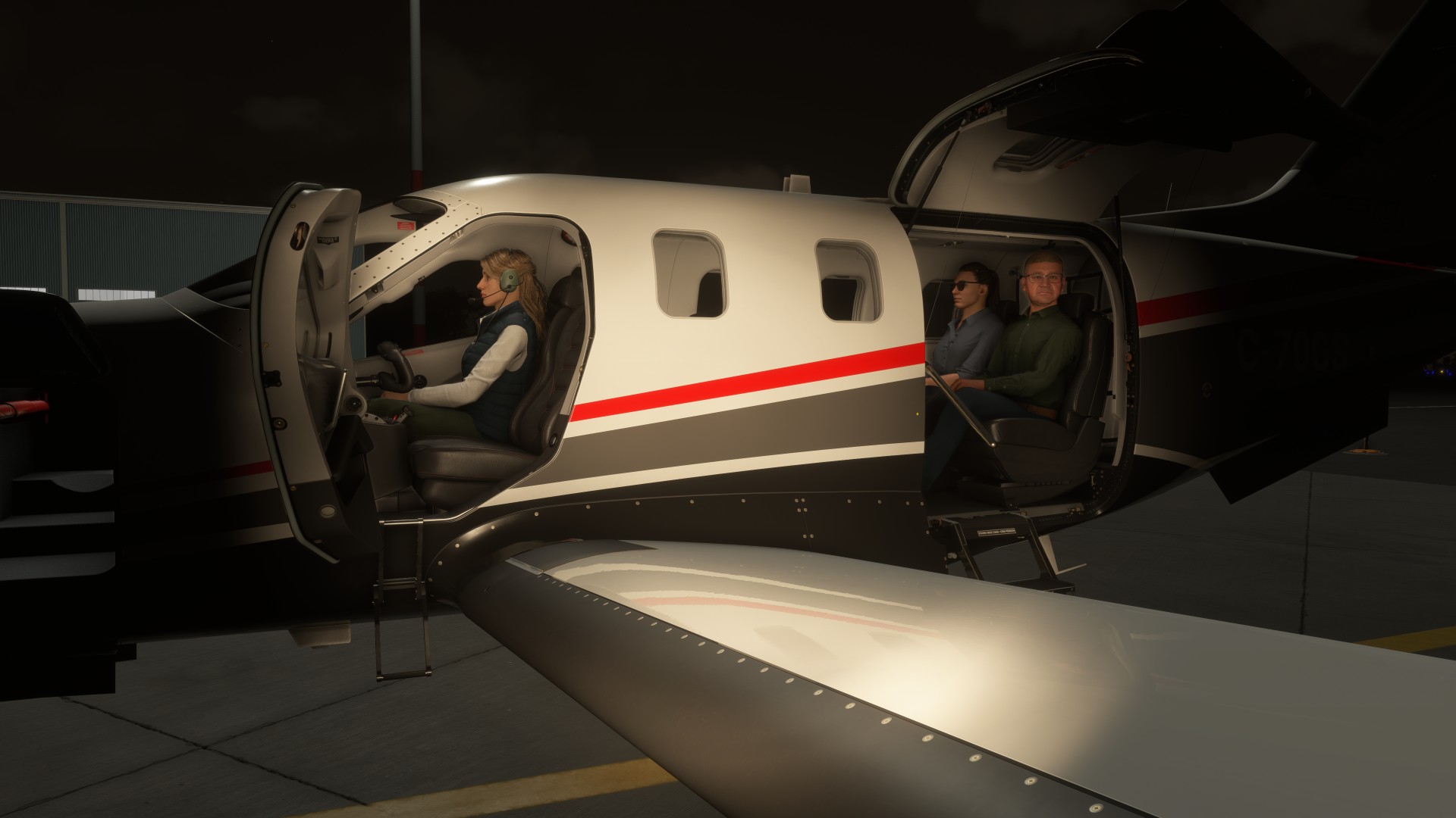
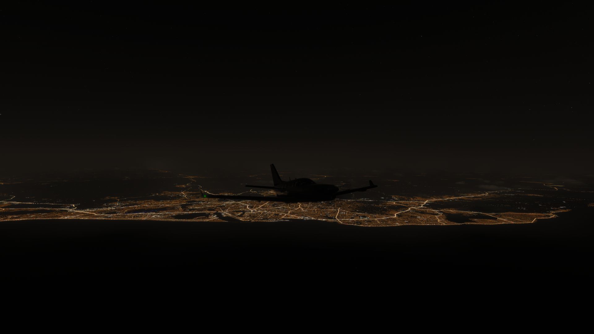
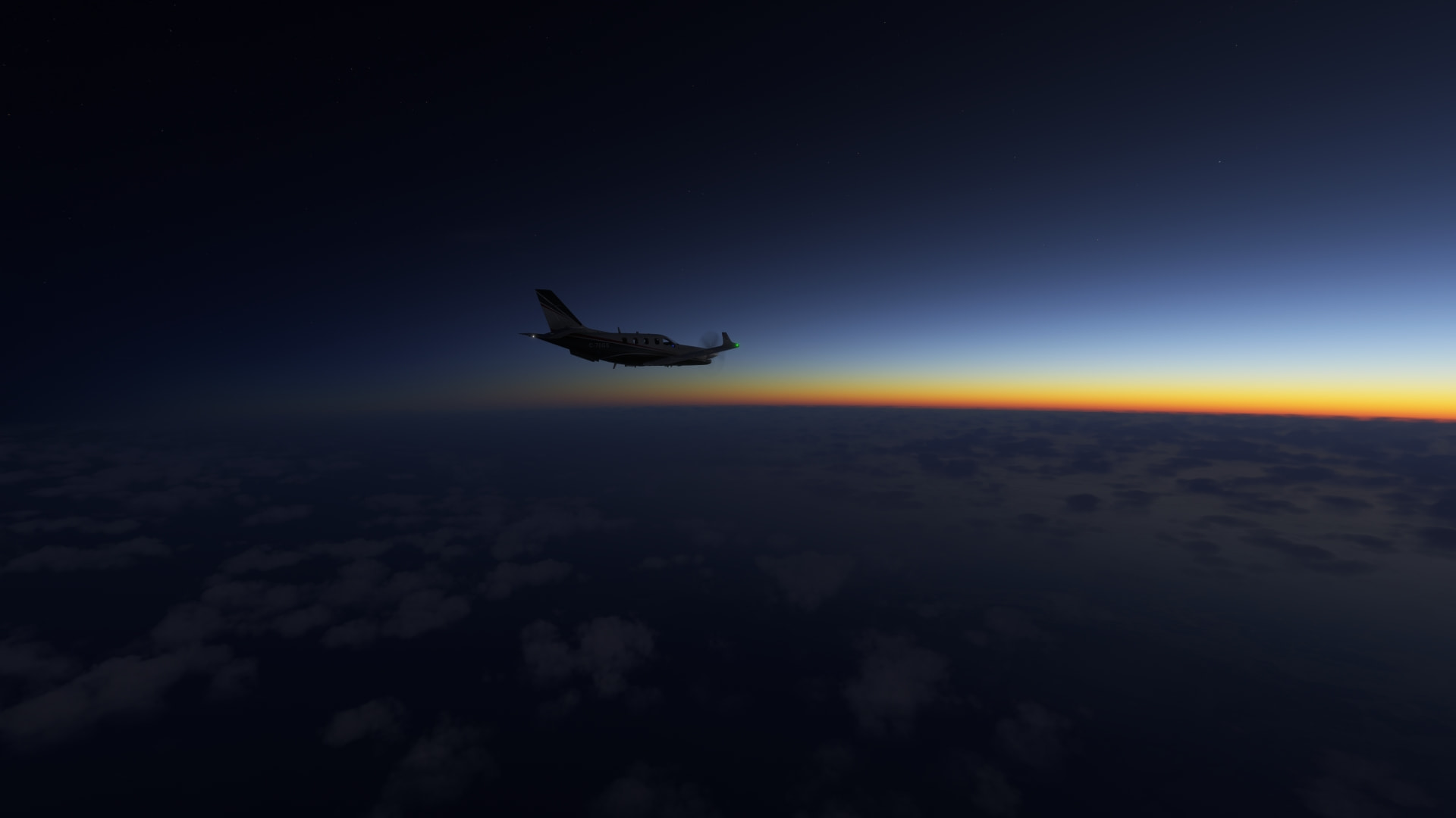
Departing Recife with Very Important Pilots on board, in the wee hours of the morning, to make it to FHAW in time for their flight prep.
We depart South America due East across the Atlantic
This leg is a straight line across the 08 South lattitude.
We were given a narrow window of time to land at 9 AM, we’ll be just on time if the wind holds steady.
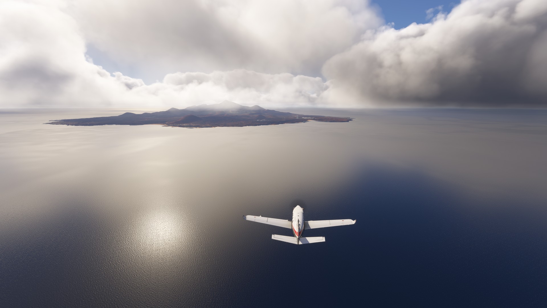
Ascension appeared out of low cloud cover
They warned us of wind shear, but we were not affected
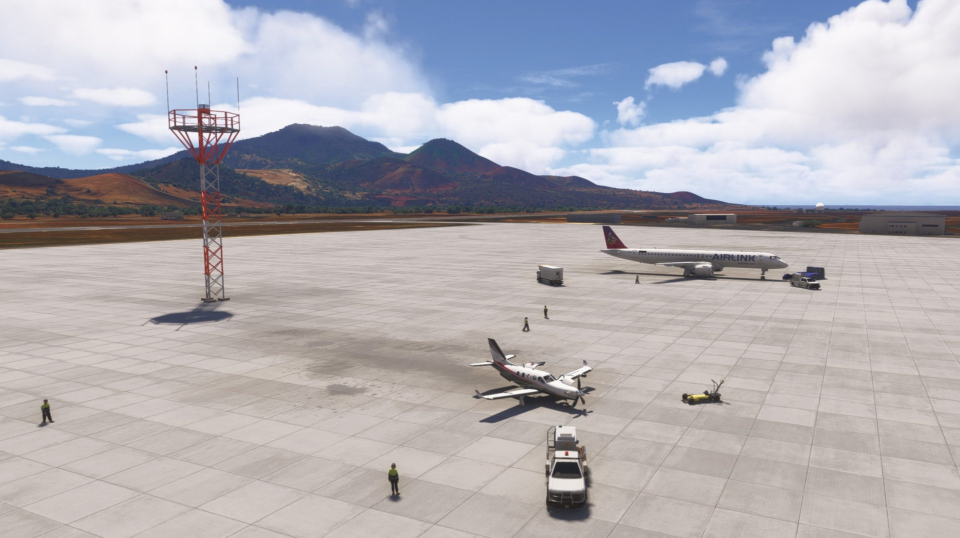
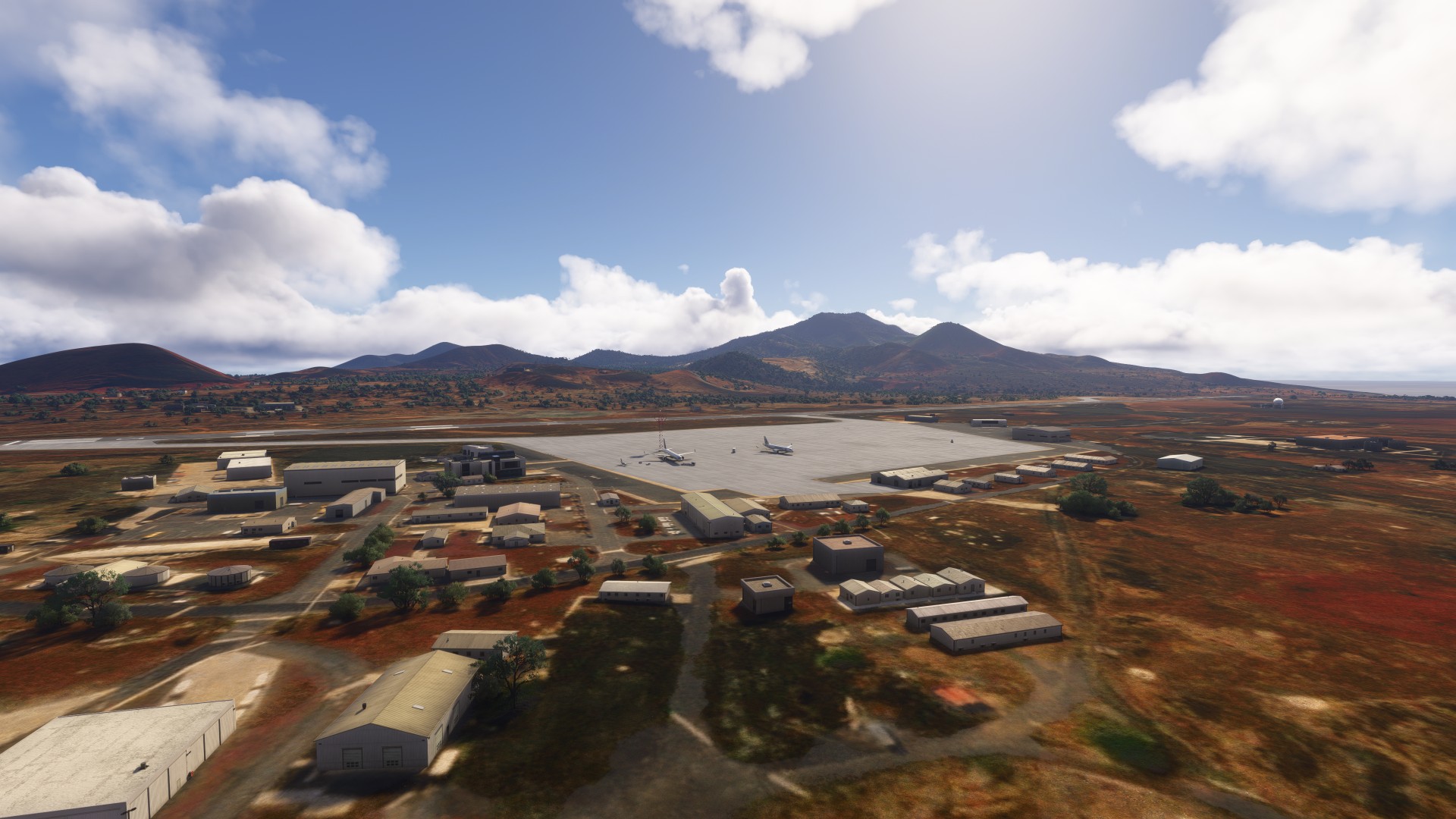
Delivered our VIPs right to their plane. I’m amazed that the Airlink flight actually appeared in the Sim with the right livery. I’ve been switching between MSFS and BATC traffic on this trip, and can’t remember which was active.
We were allowed to wait on base and grab an early lunch while they sorted out our paperwork, but we have to be fueled and wheels up in 2 hours on our way to St Helena.
After dropping our VIPs at Ascension and waiting for our unusual clearance paperwork to be completed, we had a quick meal and fueled up for departure to St Helena. But St Helena was a problem too…
Leg 18 - FHAW Ascension to FHSH St Helena
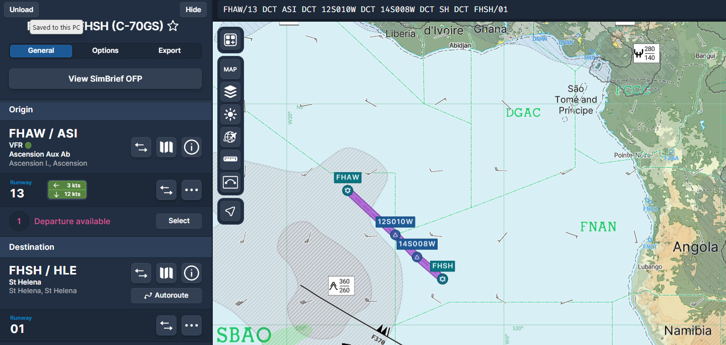
`FHAW/13 ASI 12S010W 14S008W SH FHSH/01’
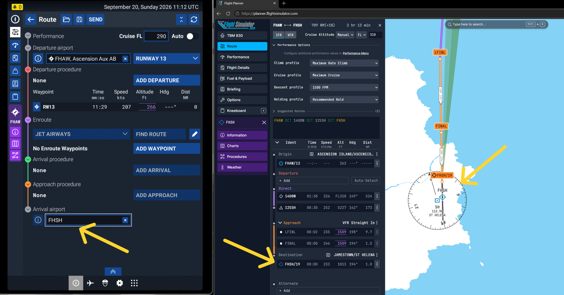
This time the issue is MSFS because FHSH St Helena airport is in Simbrief, Navigraph, and even in the MSFS online flight planner - but NOT in MSFS itself, so we just have to fly to the Island and see if we can land.
VIP mission complete, fuel obtained, and departing the AFB at 11 AM sharpish.
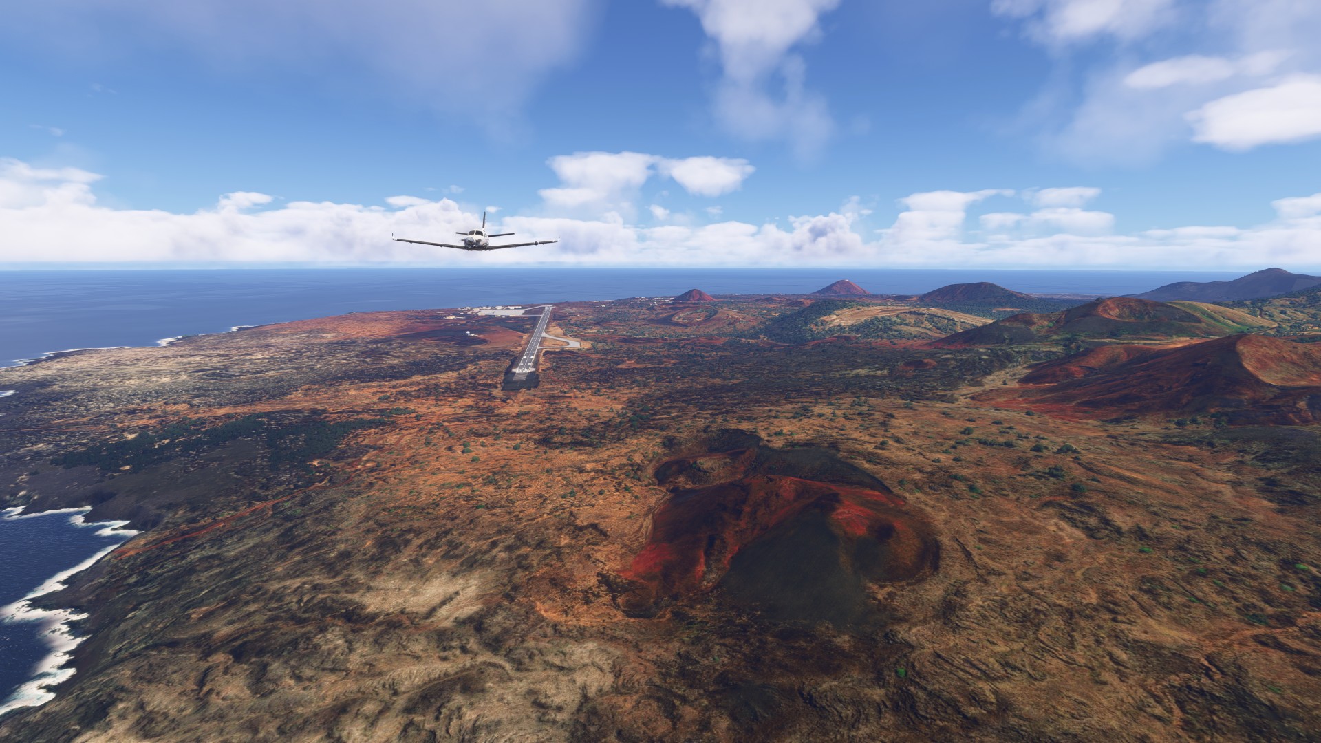
St Helena looks completely different from Ascension, a plateau rather than volcanic it seems, about 1000 feet ASL.
We have to survey the island for the airport and potential fields to land in if the airport is not servicable.
Well this should be interesting. I think the flat section in the middle will be enough.
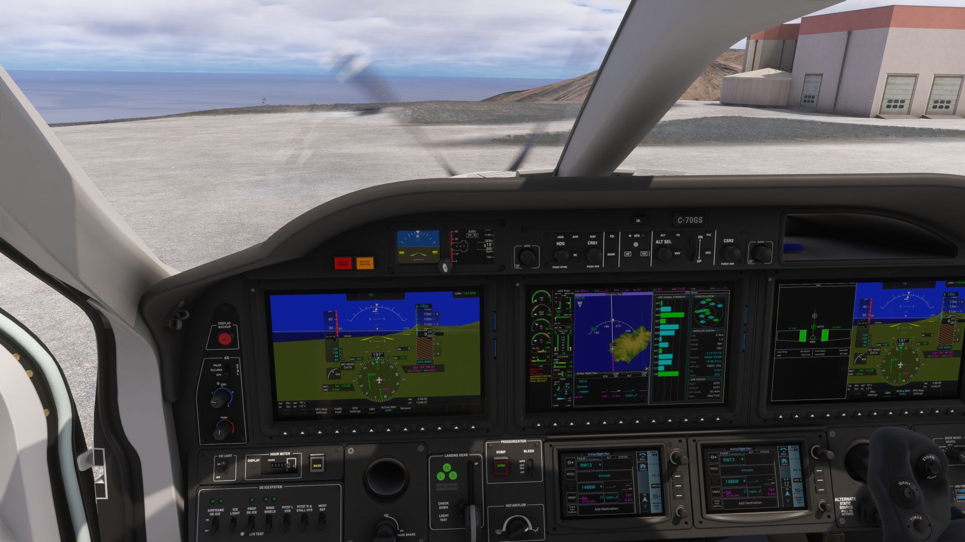
Using the VOR - which does exist in MSFS - for rough guidance
I did manage to land by really coming in low and slow. Is this one of the MSFS challenges I wonder?
We spent a week crossing the Pacific, and made it 2/3 across the Atlantic in one afternoon. We departed Recife about 12 hours ago in the middle of the night, and it’s time for a siesta.
Departing St Helena for Namibia today with as little weight as possible. Takeoff will be a challenge given that FHSH is not a selectable airport in MSFS, so the runway is just what appears in the Bing sat imagery drawn over the rolling hill. After Robinson Crusoe Island, I think I have a good idea of how much flat-ish ground I need for take off.
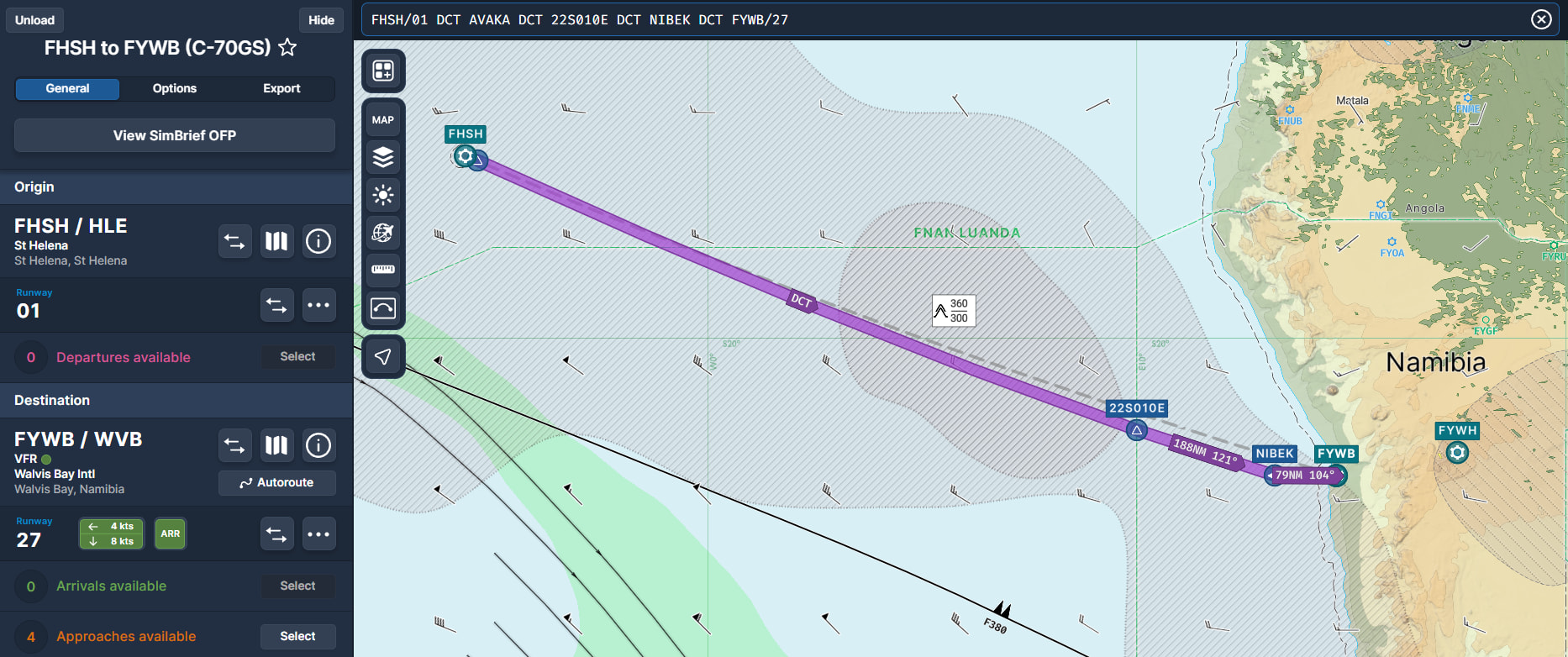
Leg 19 - FHSH St Helena to FYWB Walvis Bay, Namibia
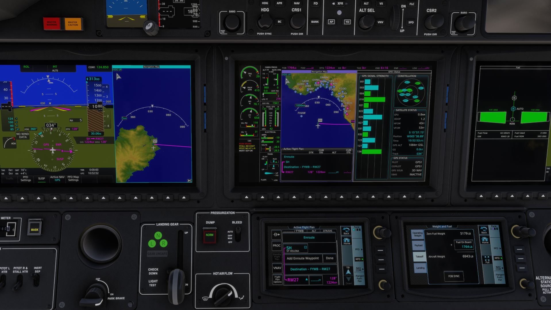
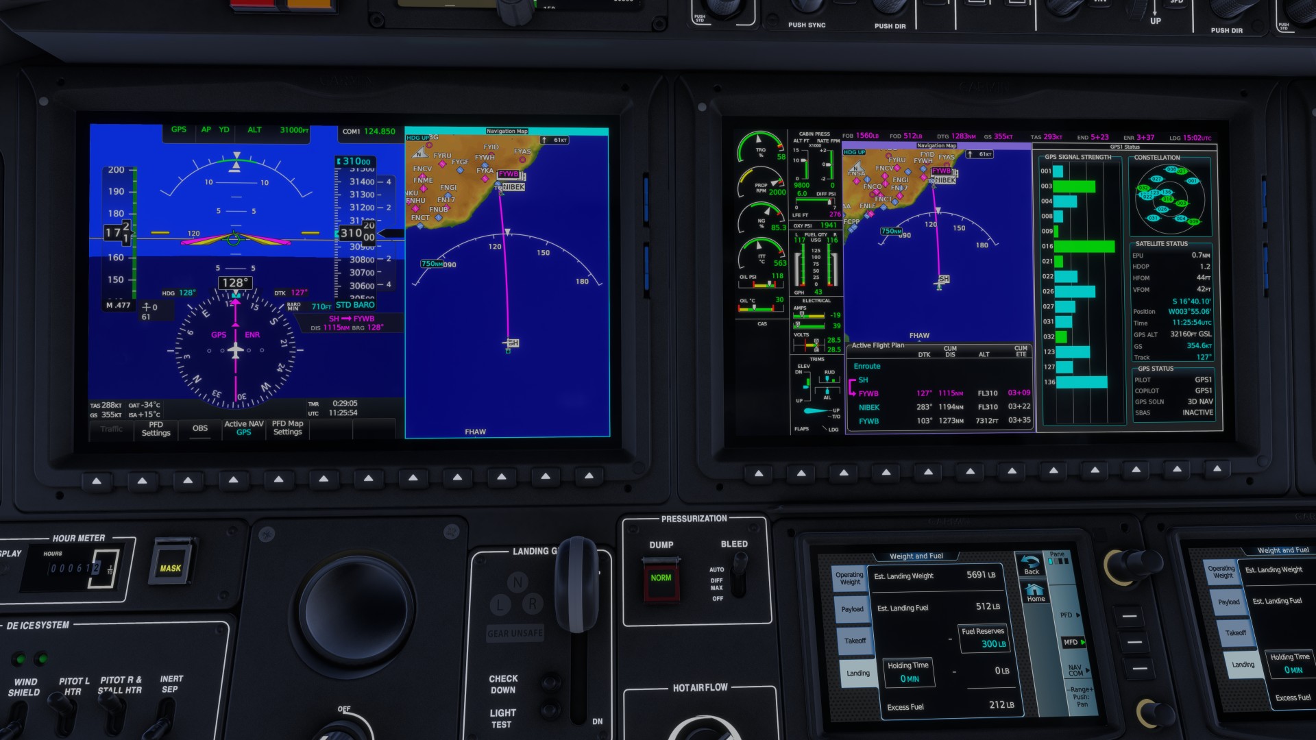
FHSH/01 NIBEK PERCY FYWB/PIERE.R27
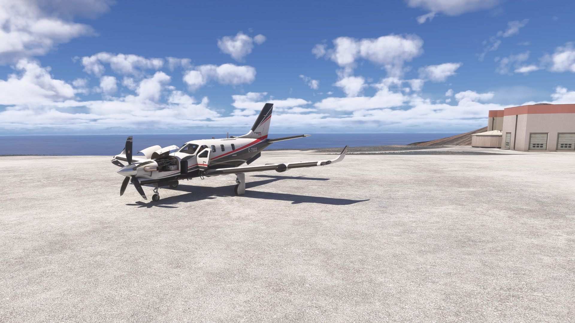
Luckily MSFS 2024 lets me pick a spot on the ground that looks like the airport ramp as a departure point to load in.
Perfect weather, modest tailwind, and no PAX today, hopefully light enough to takeoff on the relatively flat section of the FHSH runway…
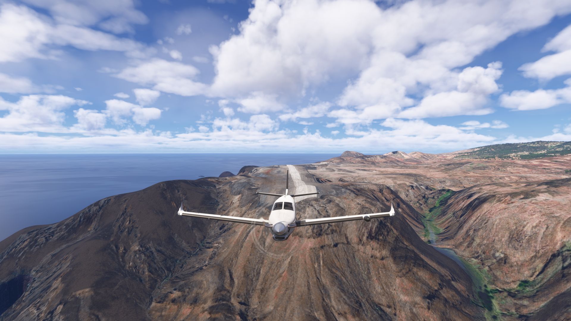
This could easily have ended very differently
60 kt tailwind most of the way, and no hurricanes so far on the Atlantic.
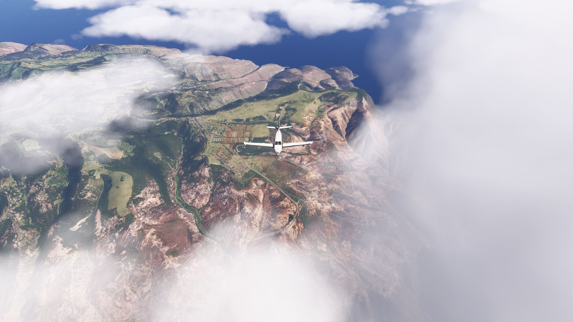
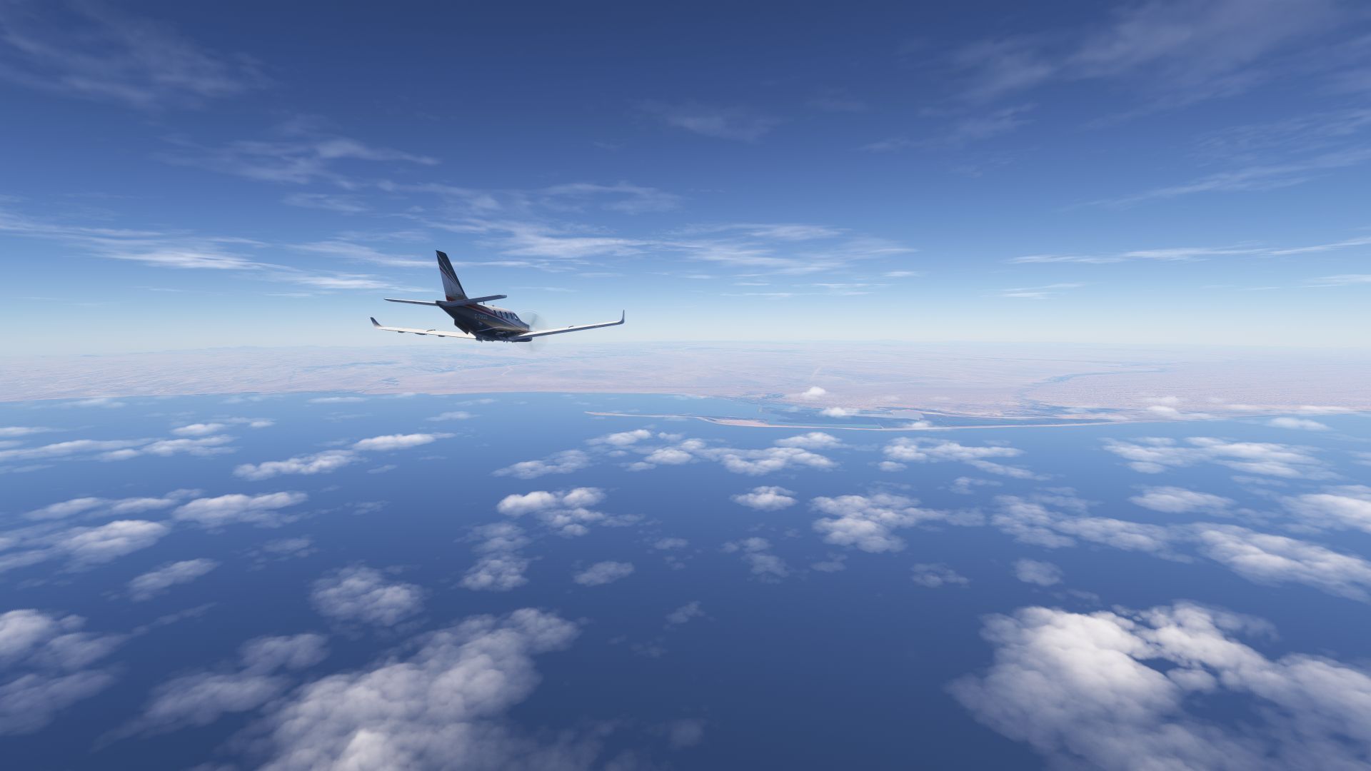
Namibia in sight after 3.5 hours of nothing but ocean and sky.
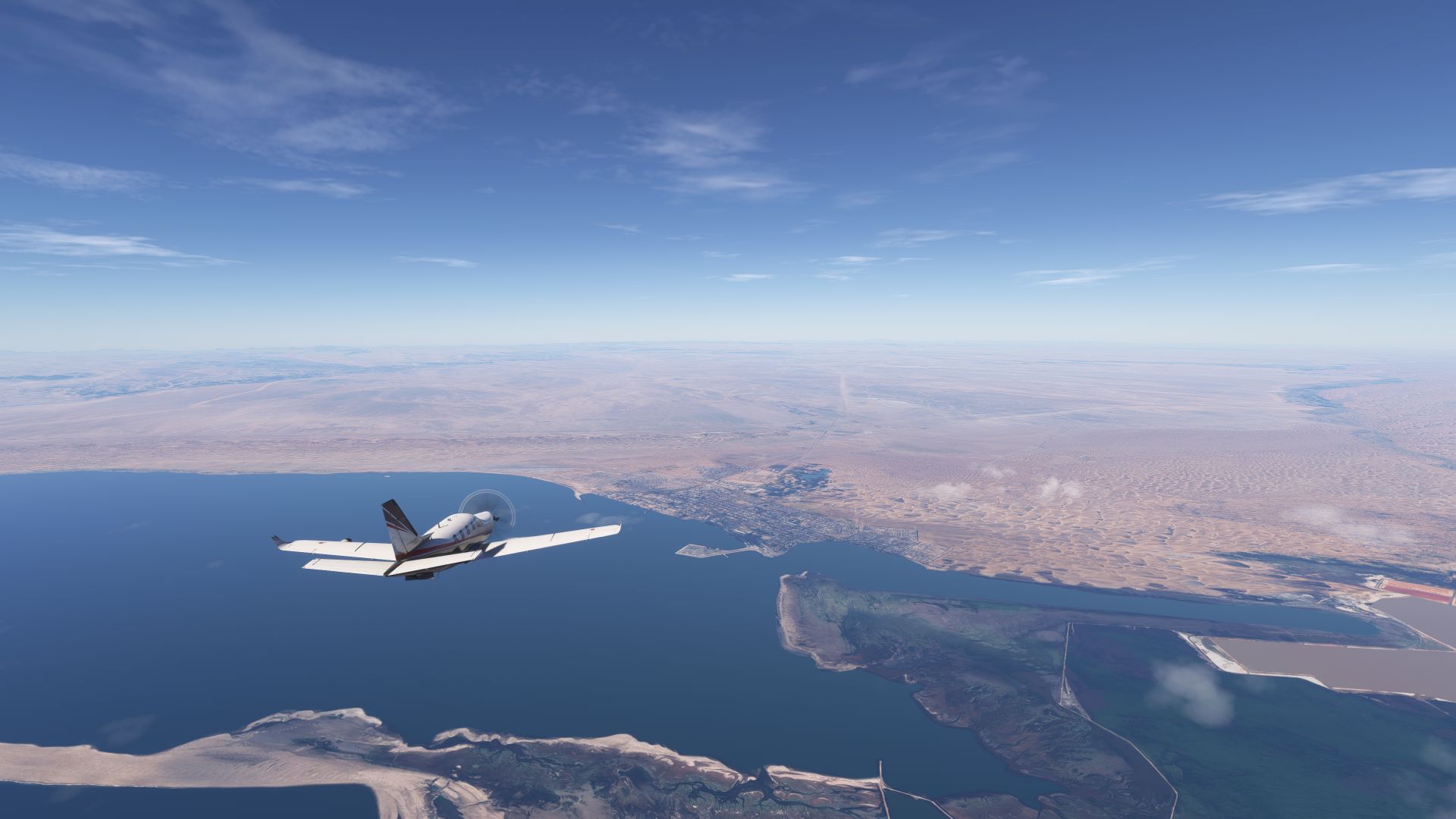
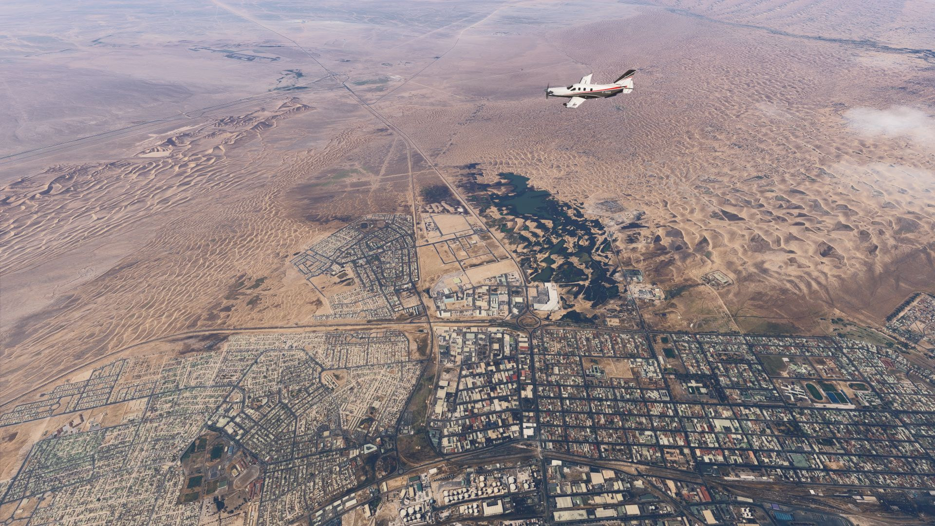
Walvis Bay arrival
Apparently this is the edge of the oldest, driest desert in the world
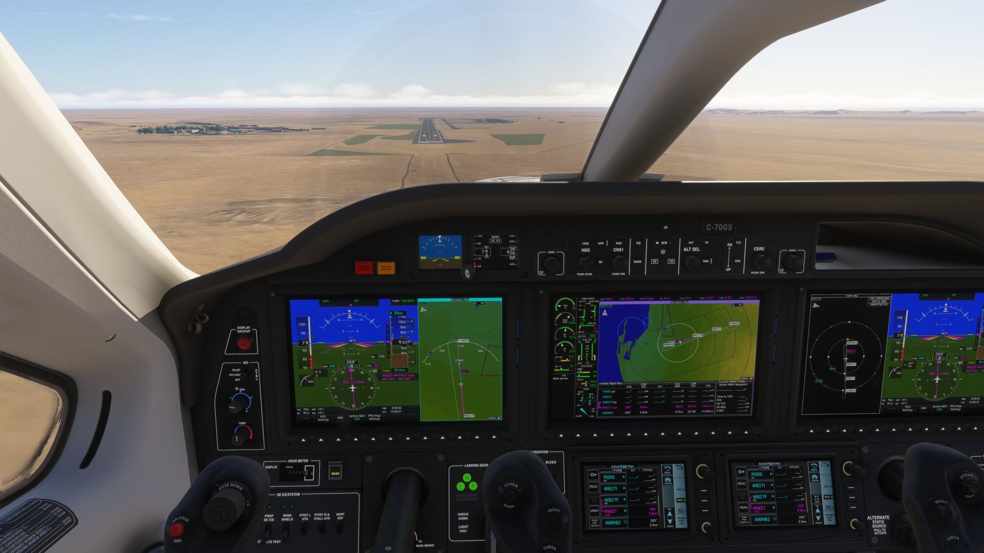
Clear to land
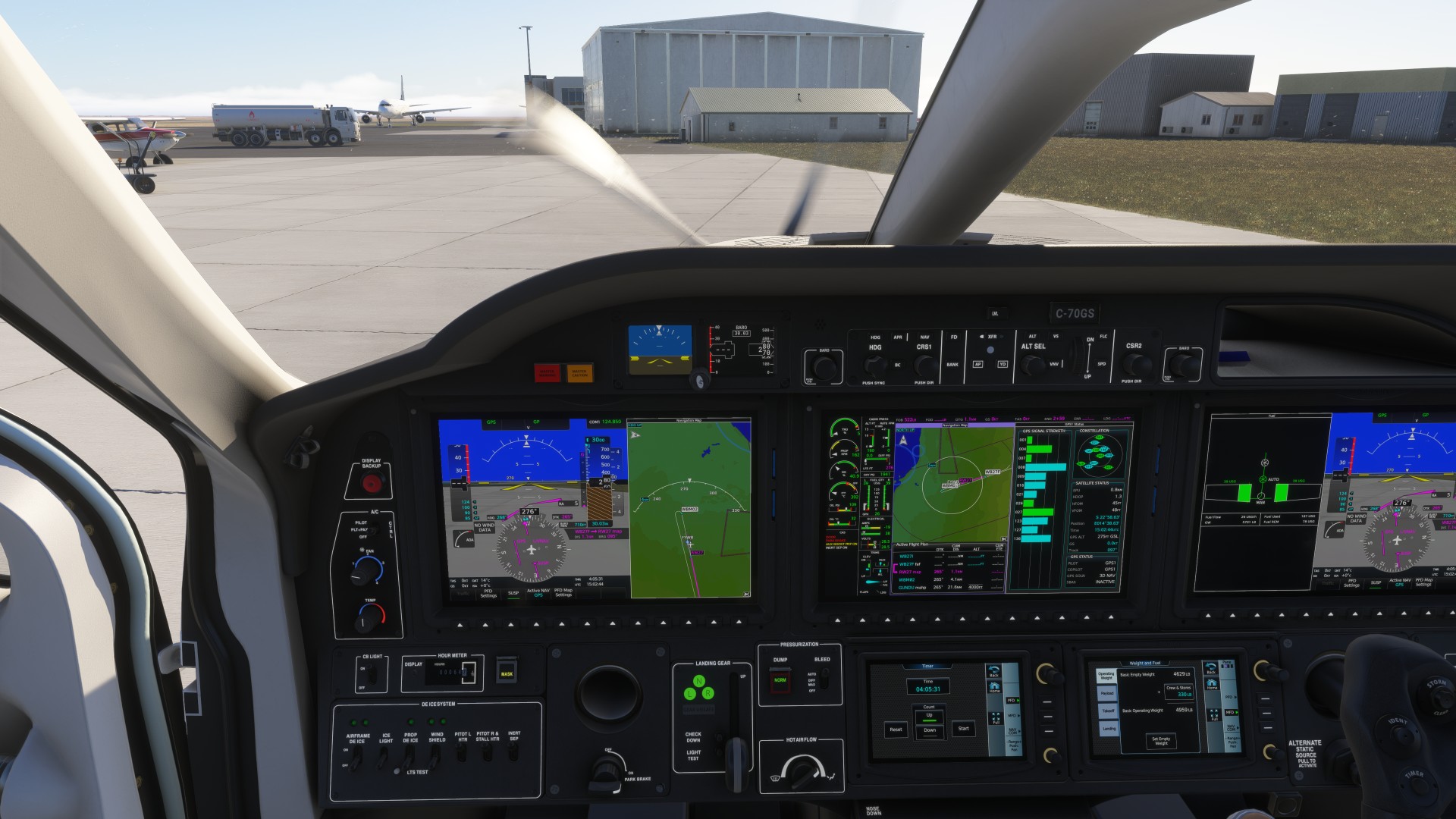
Stayed within our contingency fuel
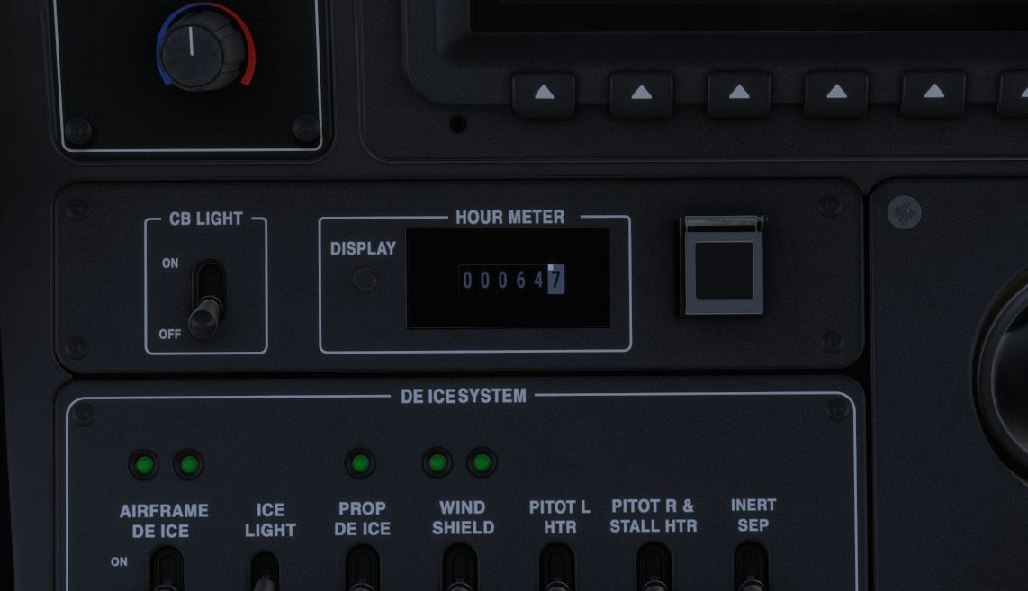
Now 64.7 hours on the meter!
Well needed rest for the night in Walvis Bay, departing for Cape Town early tomorrow.
Departing Namibia for Cape Town. Today we are going to fly low and slow, to see some scenery that isn’t ocean. Lower altitude means lots of fuel needed.
Our stop in Cape Town is not random. Of course we want to see the views, and round the Cape of Good Hope, but we need to get an inspection, clearance paperwork, visas, and meet 2 very special guests joining us, for our venture across the Indian Ocean… more about that later.
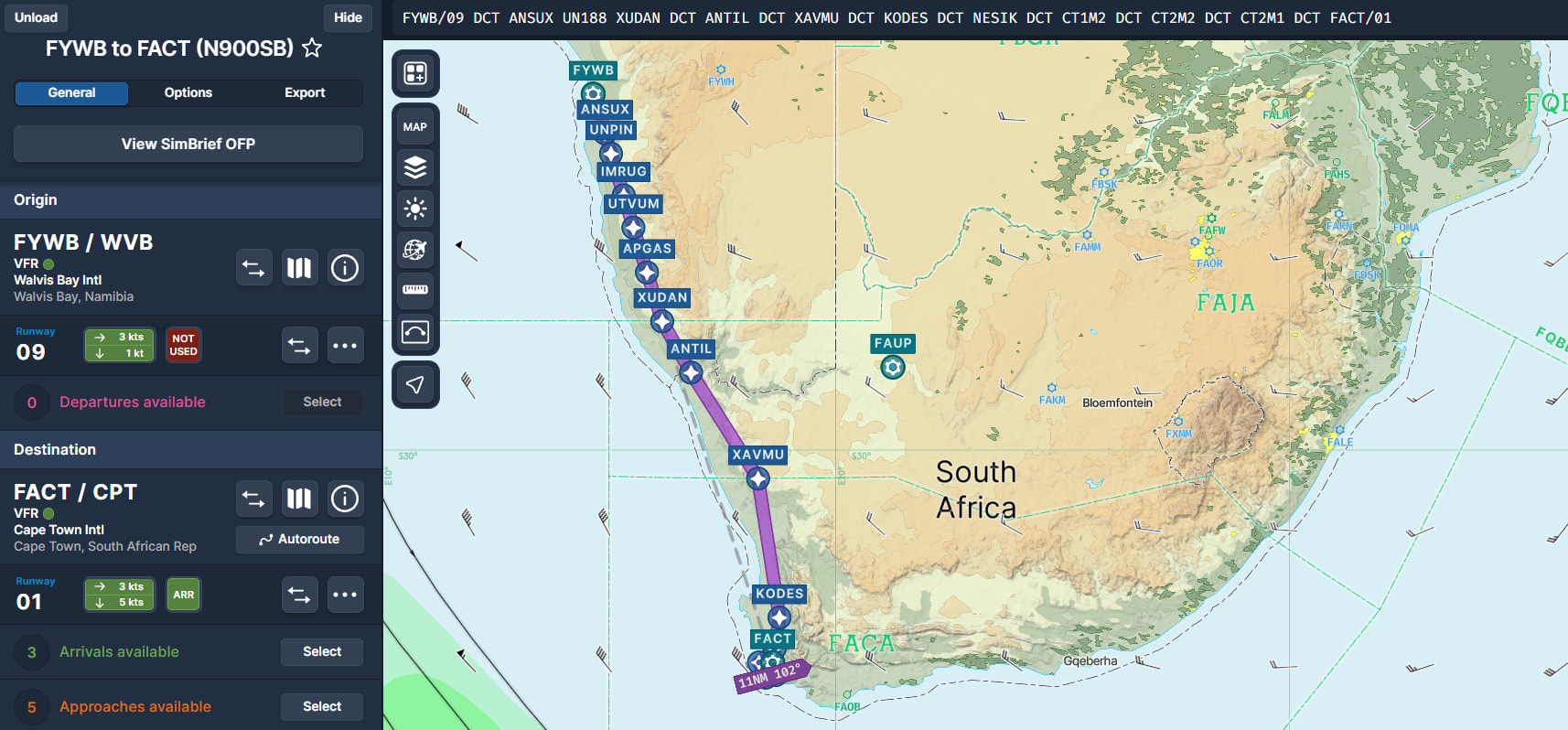
Leg 20 - FYWB Walvis Bay Namibia to FACT Cape Town
FYWB/09 ANSUX UN188 XUDAN ANTIL XAVMU KODES NESIK CT1M2 CT2M2 CT2M1 FACT/01
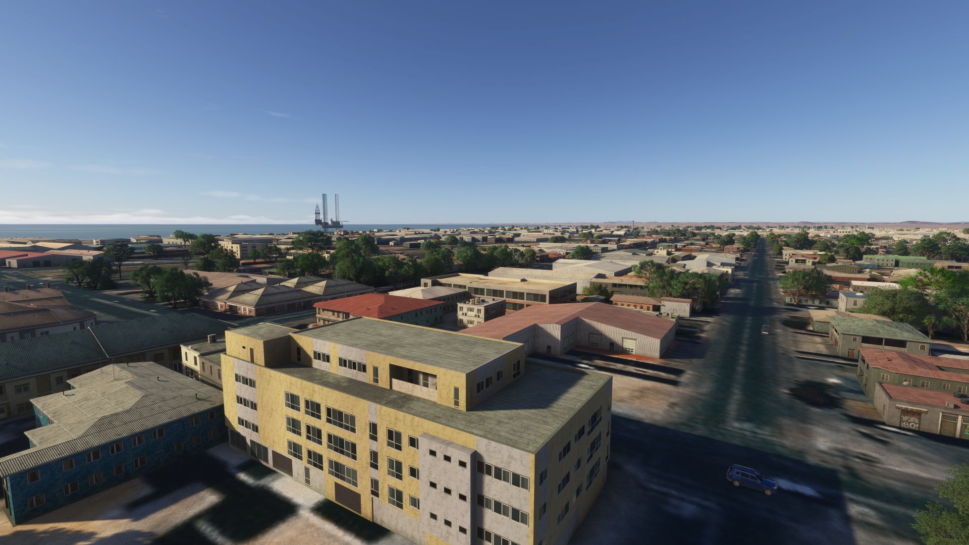
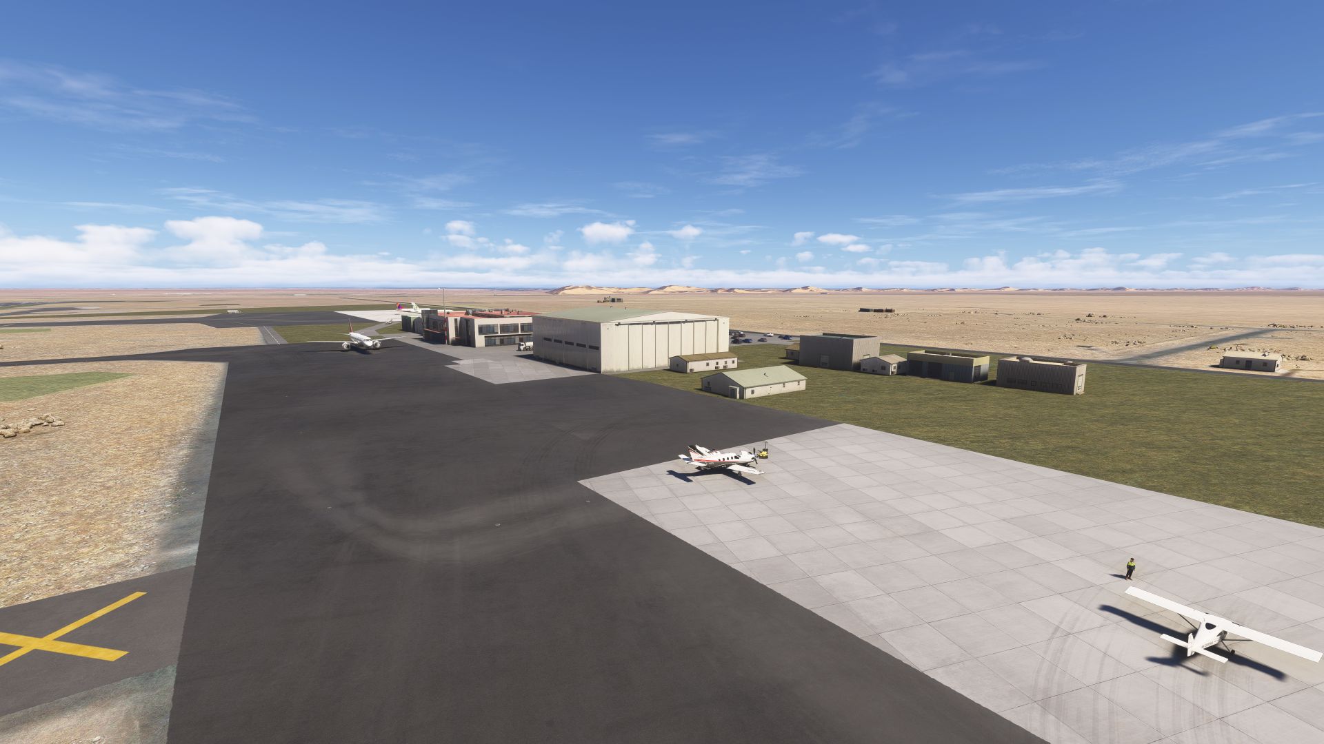
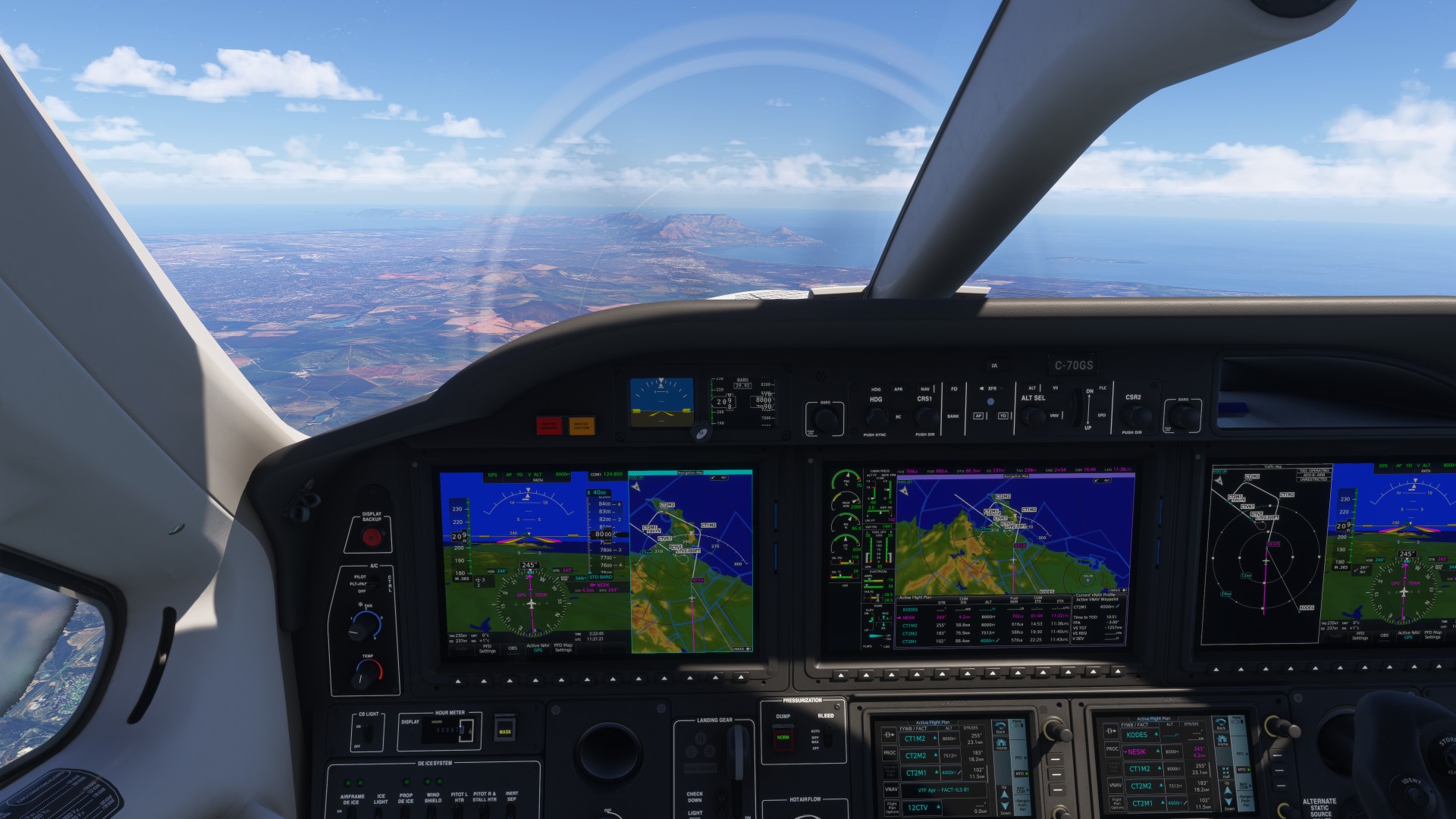
Departing FYWB Walvis Bay, Namibia
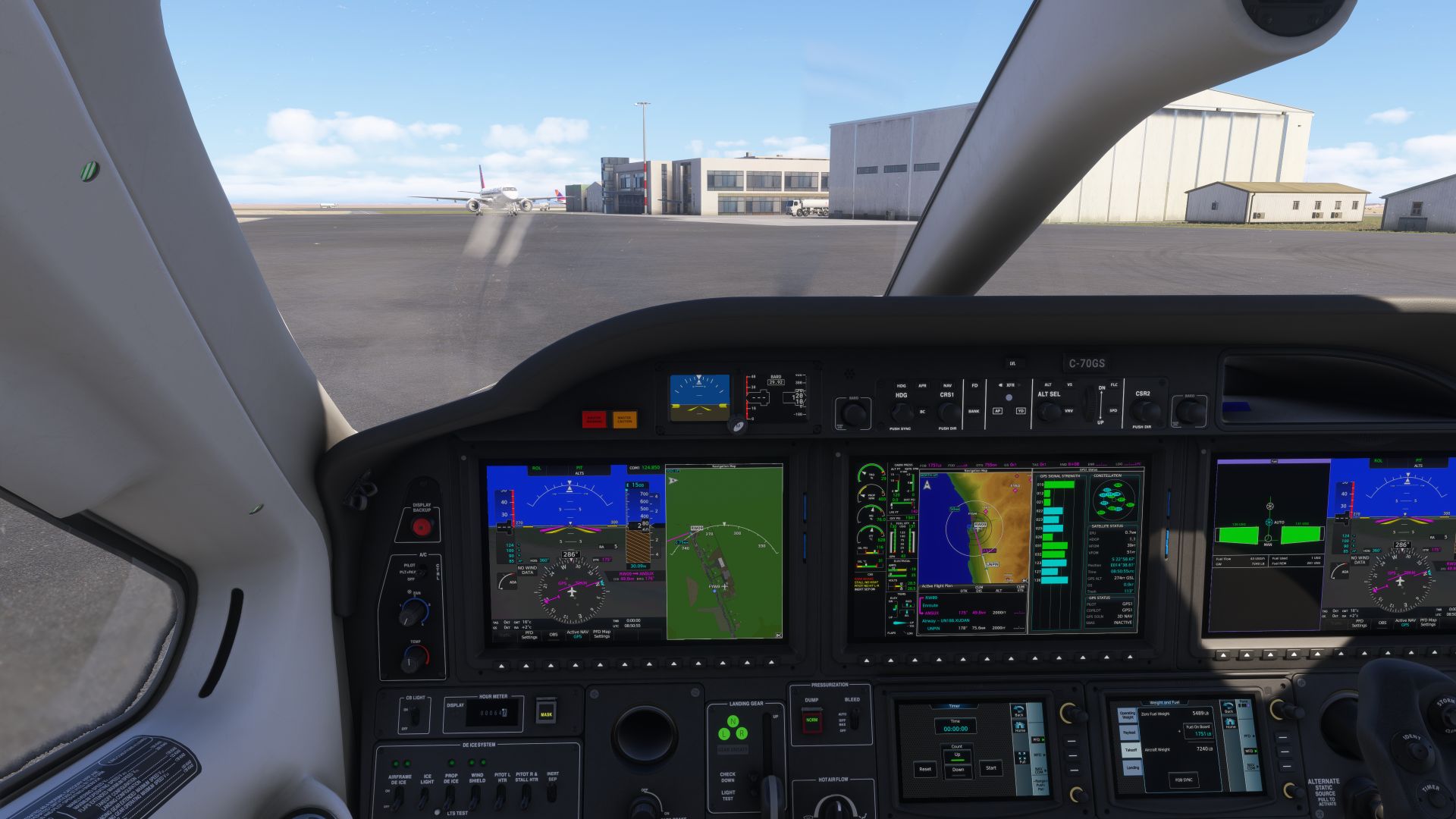
It’s a short trip, but we want to fly low, so we loaded up with extra fuel.
It looks like we traded one type of ocean for another. At least the desert has waves. For all of Microsoft’s advertising of MSFS 2024, which features a lot of natural looking water, waves, white caps, etc., in our entire journey we have seen exactly zero white caps, and virtually no ocean waves to speak of.
Google suggests these are vineyards and Rooibos tea farms?
Following the mountains descending in to the Cape
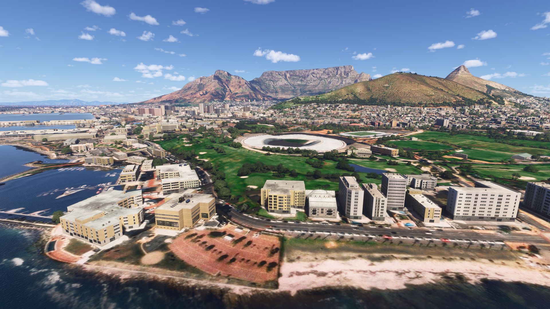
Table Mountain appears
We didn’t get clearance to buzz the stadium…
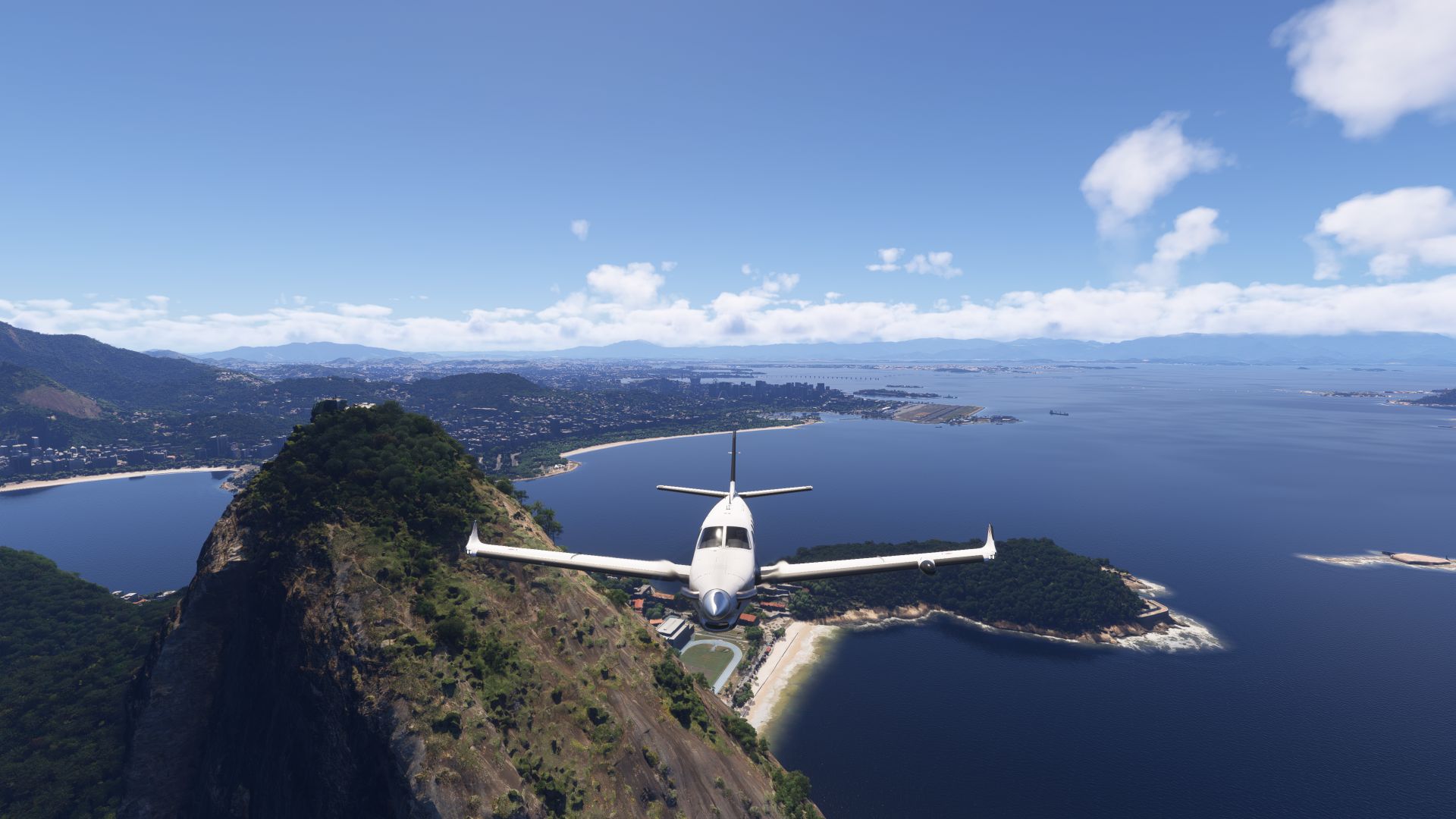
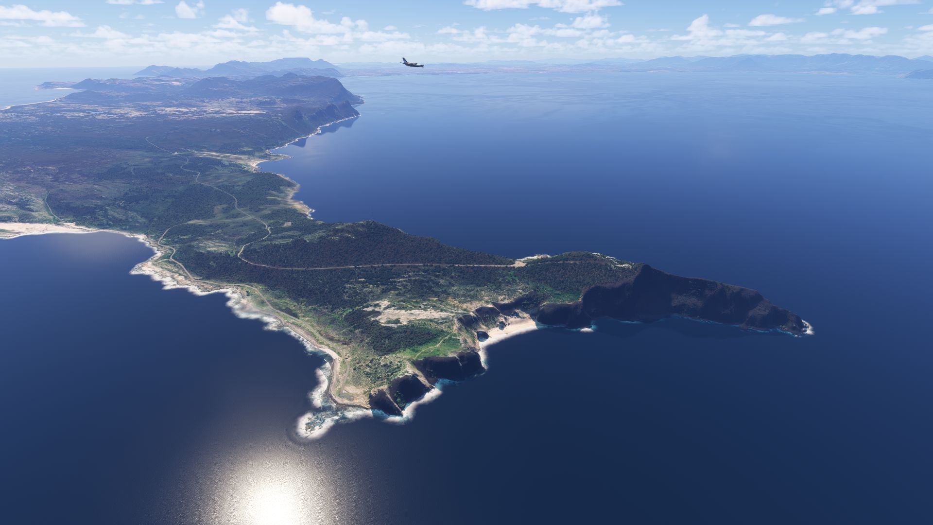
Rounding the Cape of Good Hope on Arrival
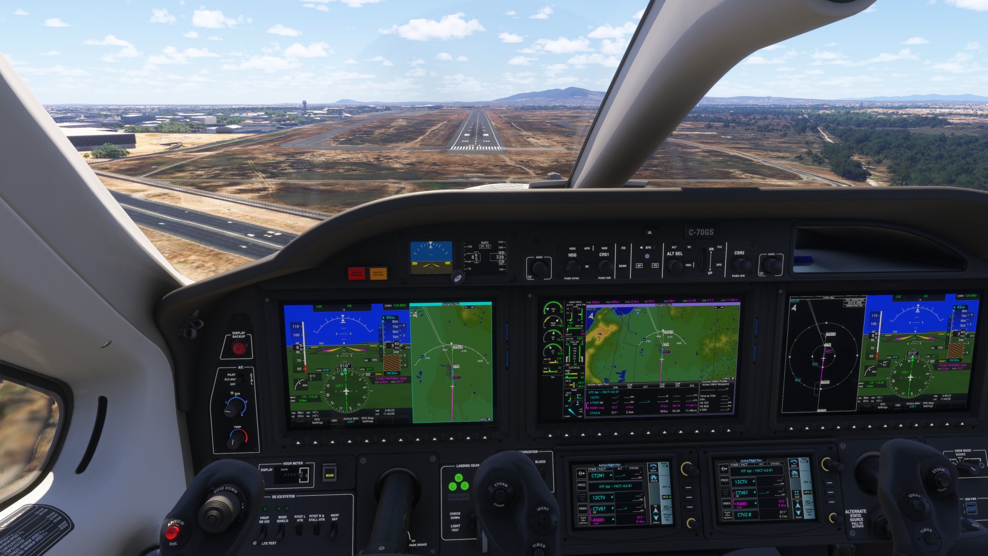
My 2nd best landing so far - greased it, and that’s a FACT
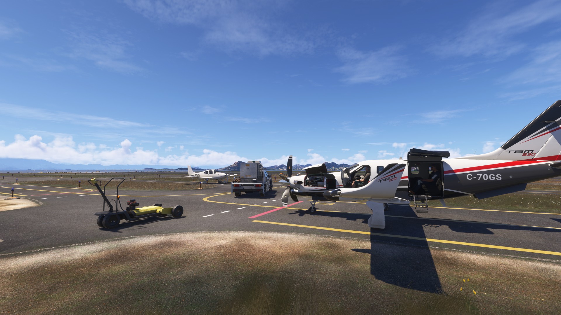
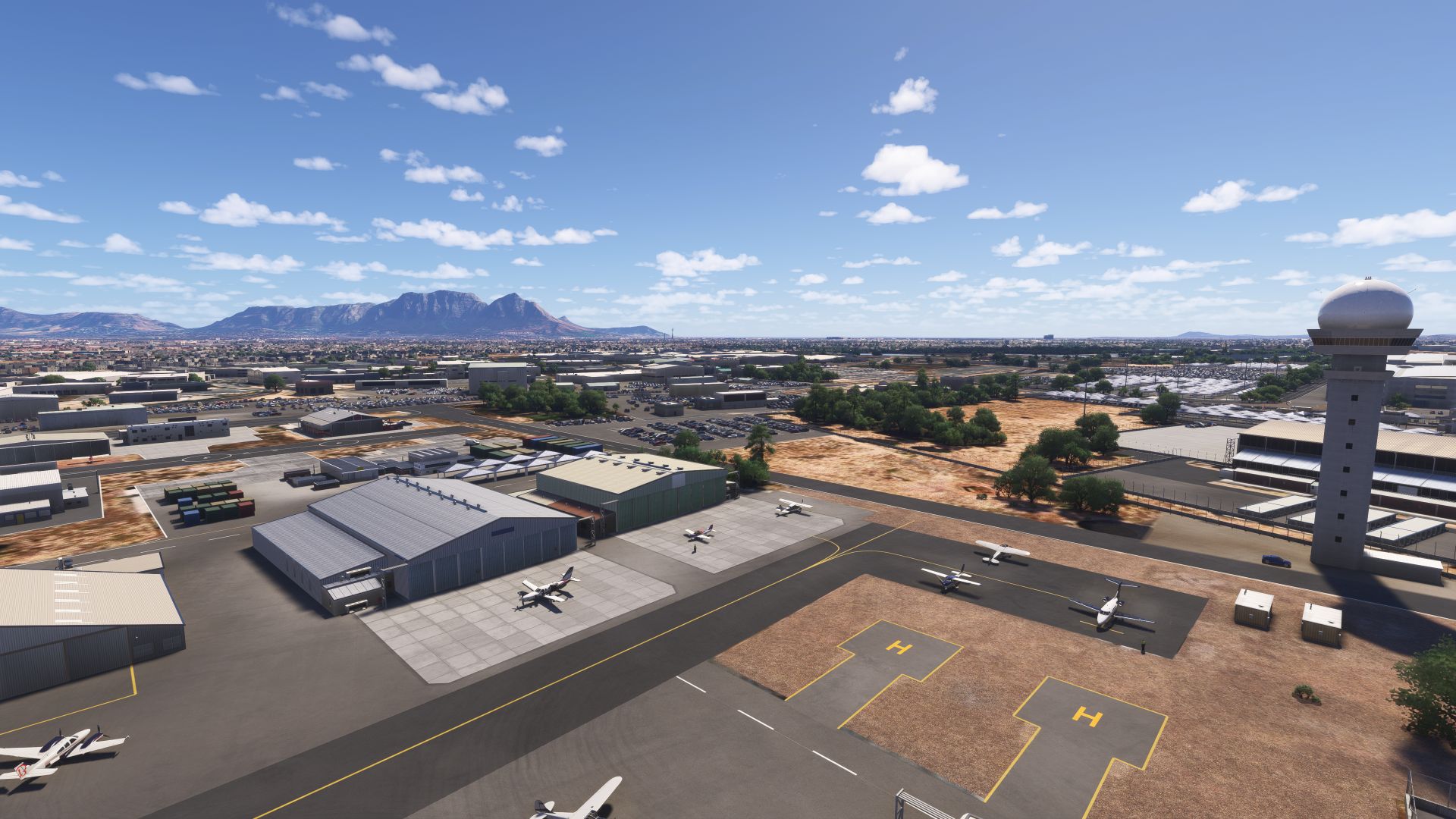
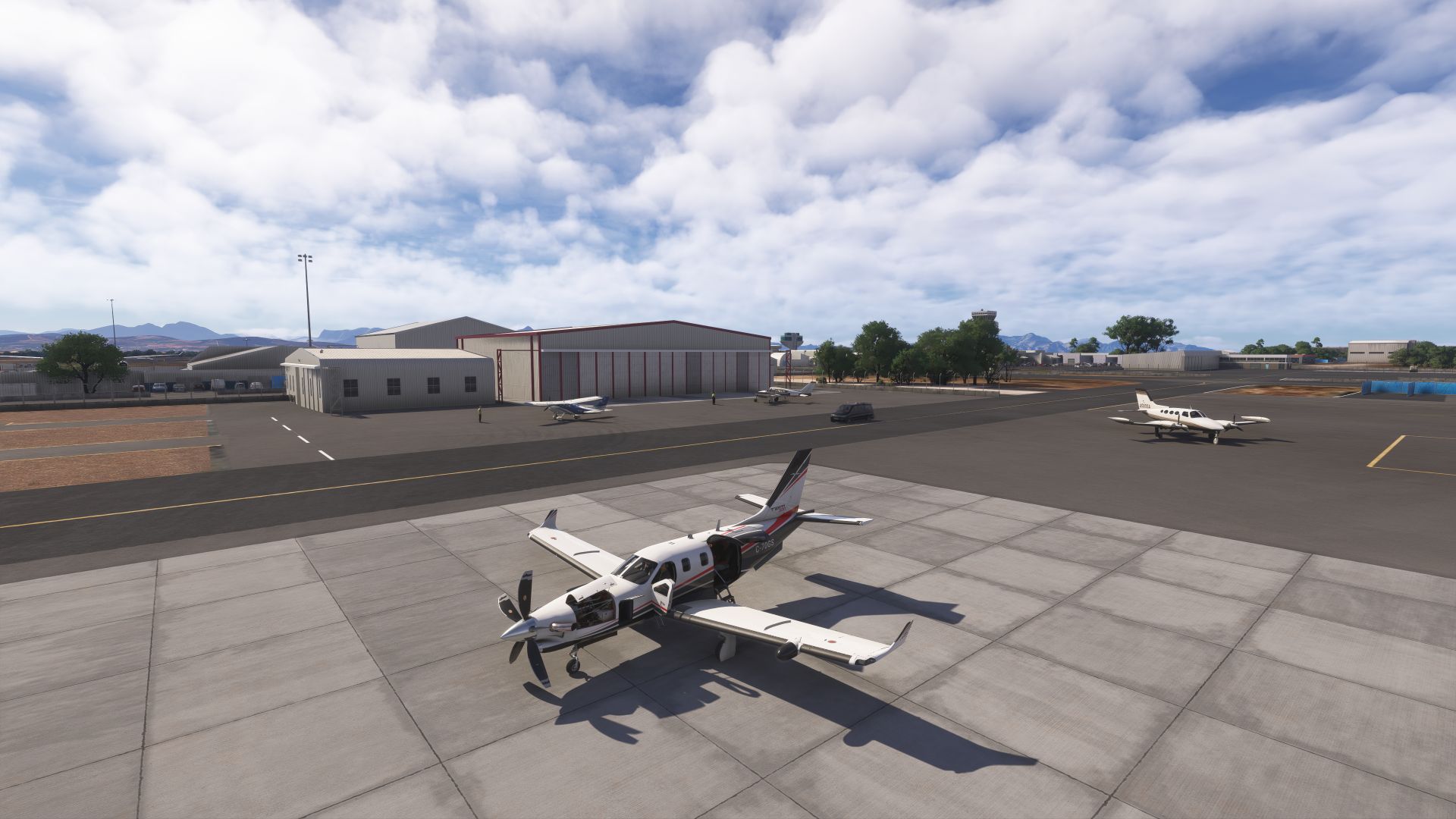
Our hosts have arranged a hanger for the night. We need some repairs, and an inspection to get a clearance certificate for an upcoming leg 
The DHL Stadium keeping a very low profile after that Airlink flyby a few weeks ago…
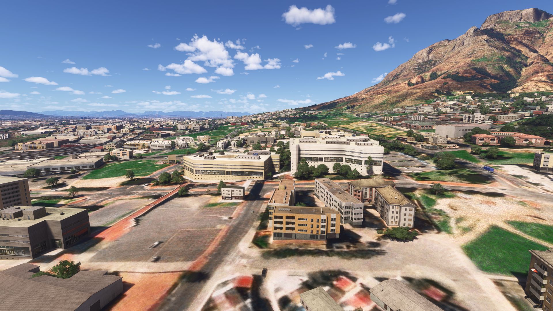
Our hosts, who are joining us on our flight tomorrow, have us staying in a small hotel near their University research lab.
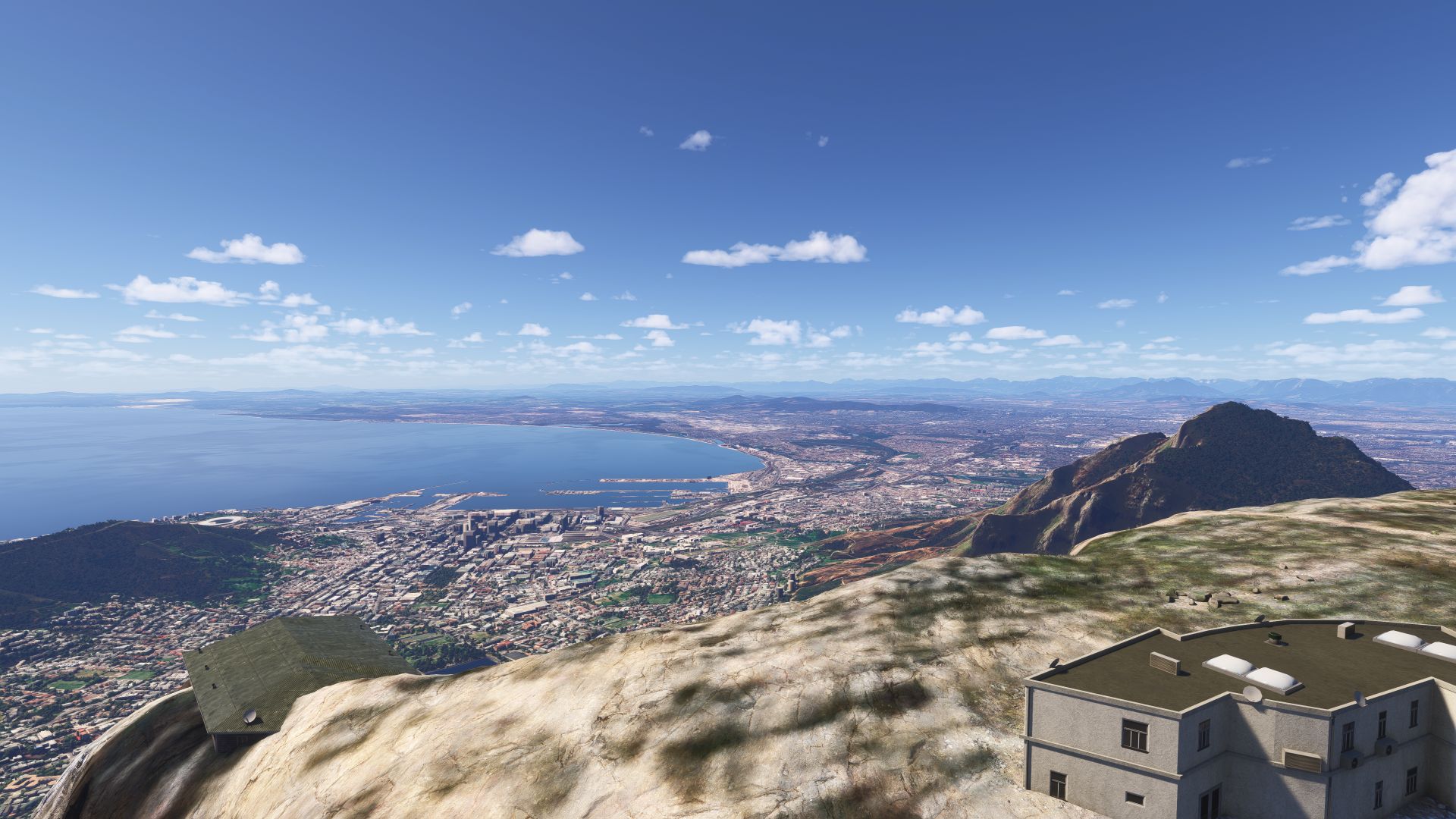
Had to make the climb and see the view of Cape Town from Table Mountain
You weren’t kidding, this was a really great low-level flight along the coast.
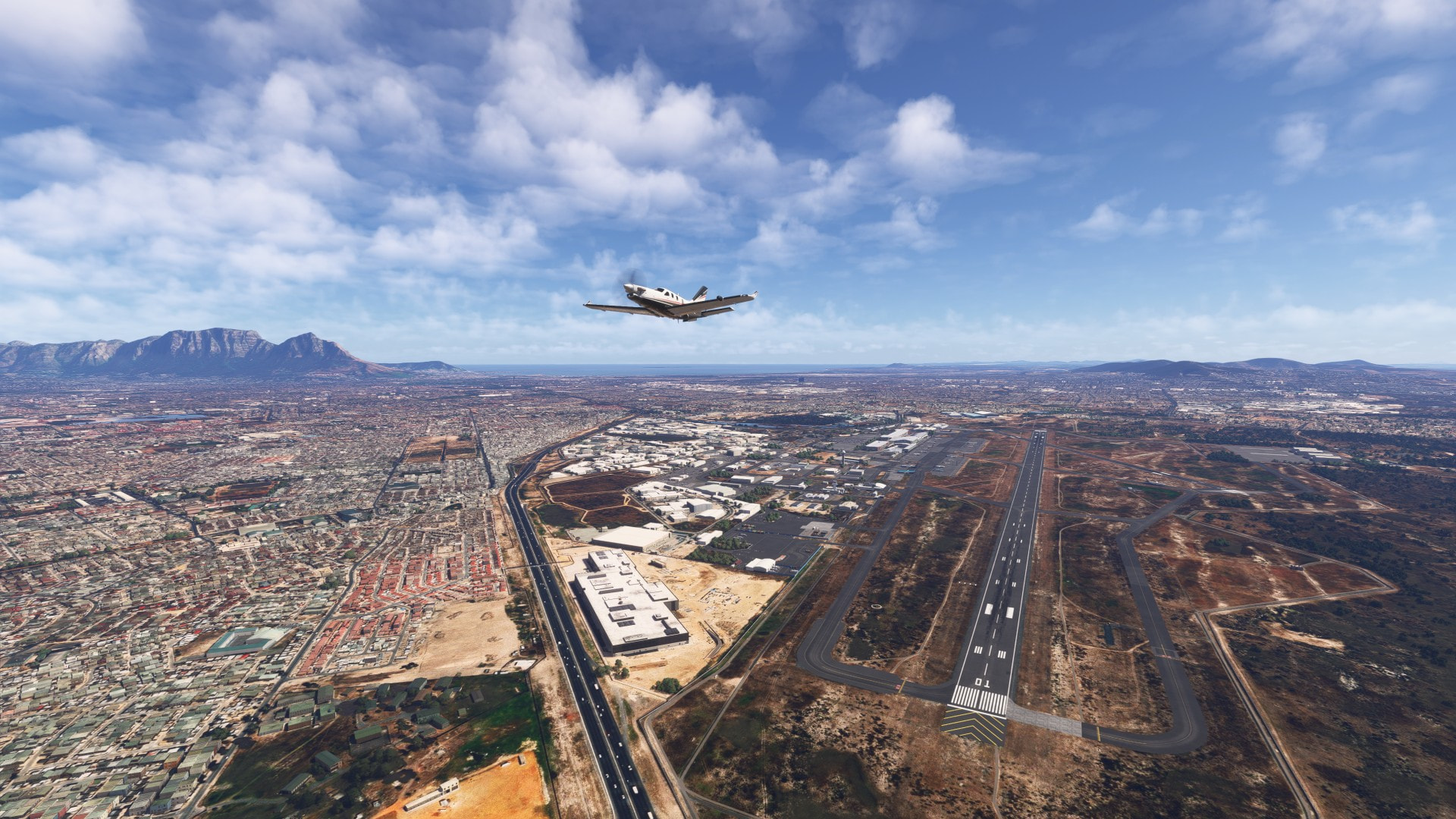
Departing Cape Town for Durban, South Africa today.
Leg 21 - FACT Cape Town to FALE Durban
I post the general flight plan in these posts, but they are just general guides - because I’m mostly flying VFR, hugging the coast, and turning inland to see the mountains.
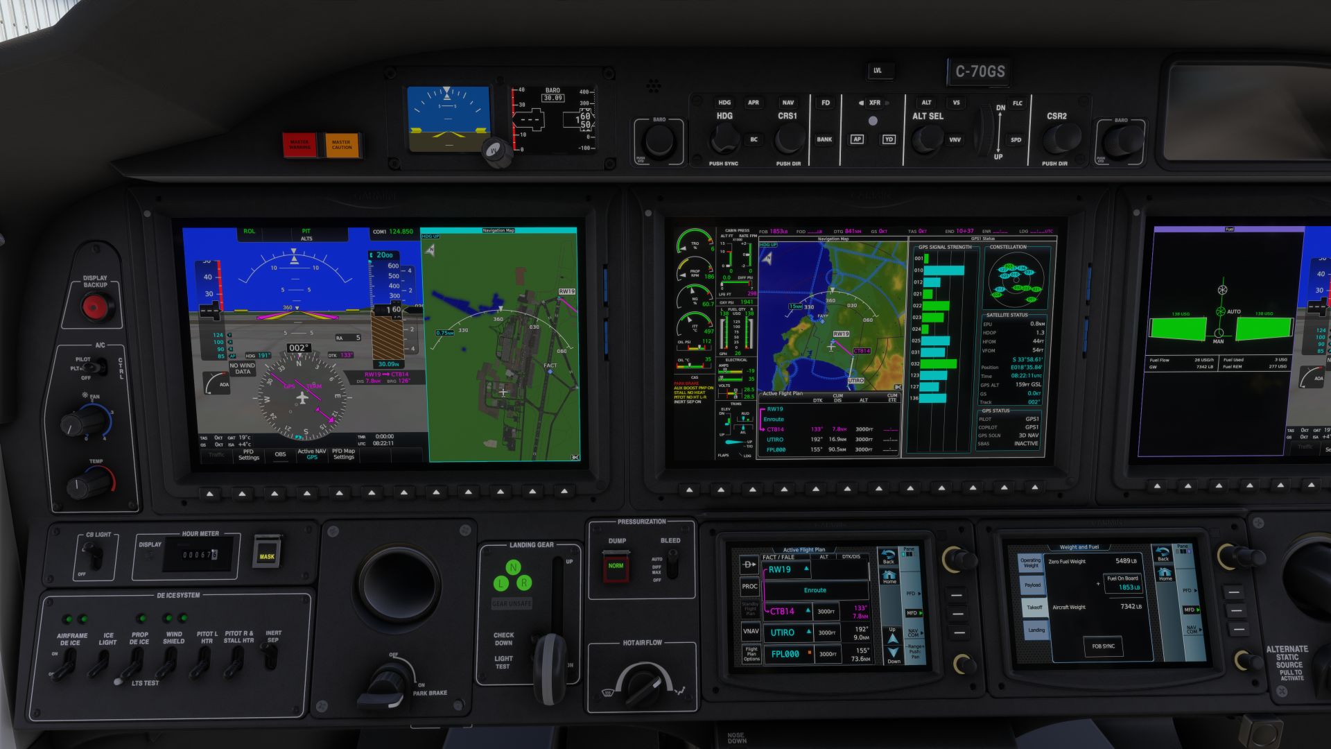
FACT/19 CT814 UTIRO 344834S0193720E FAMO GG364 FAPG EGMAB OKSET PEV EPVUV FAPA EL2M2 ETGEB APMUL OKBUS EXATA LE1N2 FALE/I24-Y
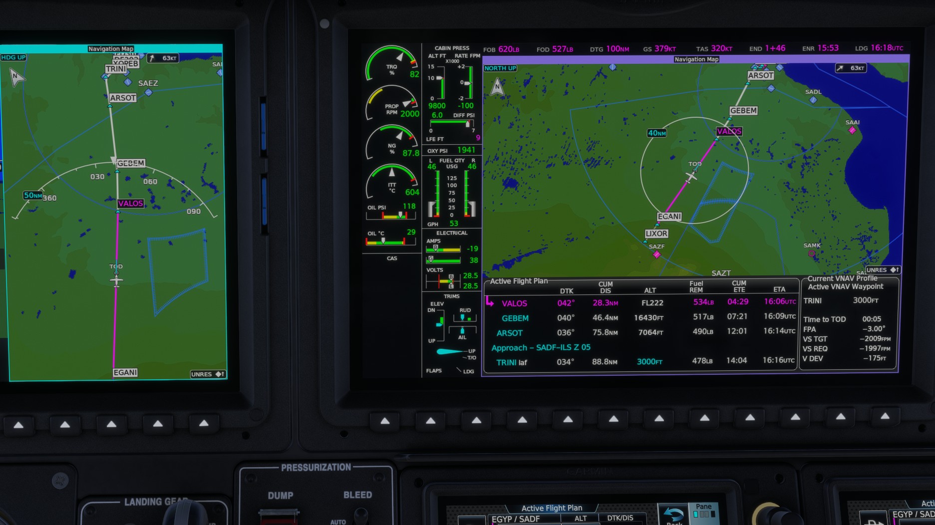
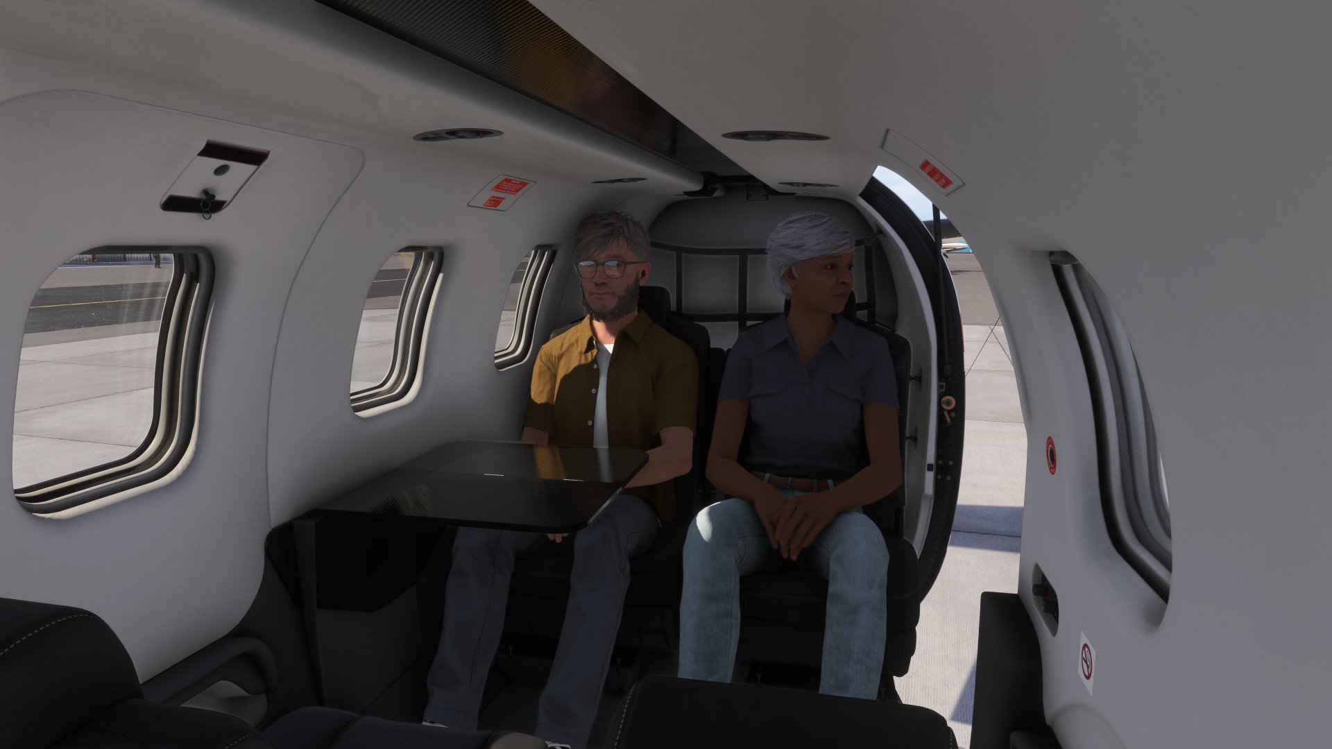
We have picked up two new guests, who need to get to Diego Garcia - and we can’t go there without them.
The only way we could get permission to land at the base was to get special authorization to ferry contractors, so our British contacts arranged it. Apparently the island has one of the only observation points for space debris in the southern hemisphere - they were scheduled to go test software, and agreed to let us take them on the scenic route.
Our plane had to pass inspection, needed an oil change and some cleaning!
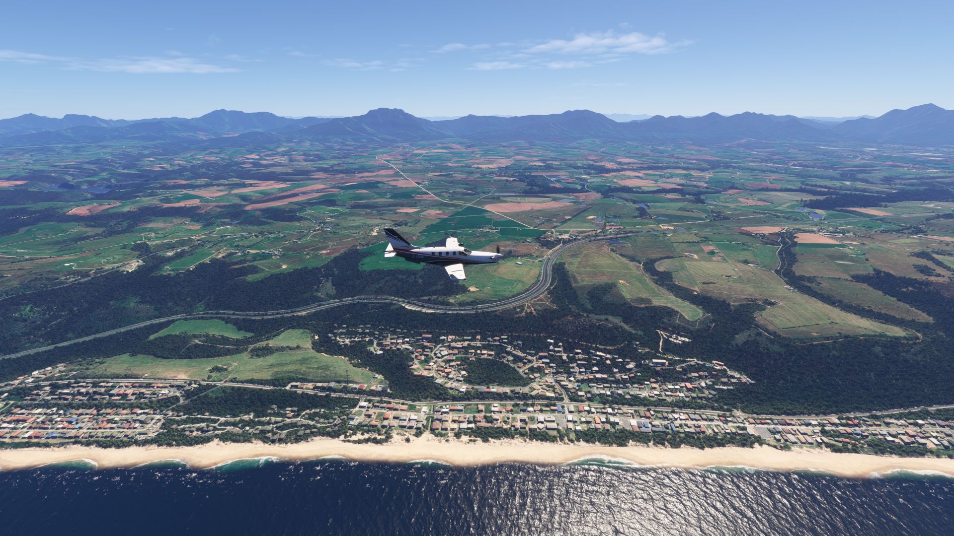
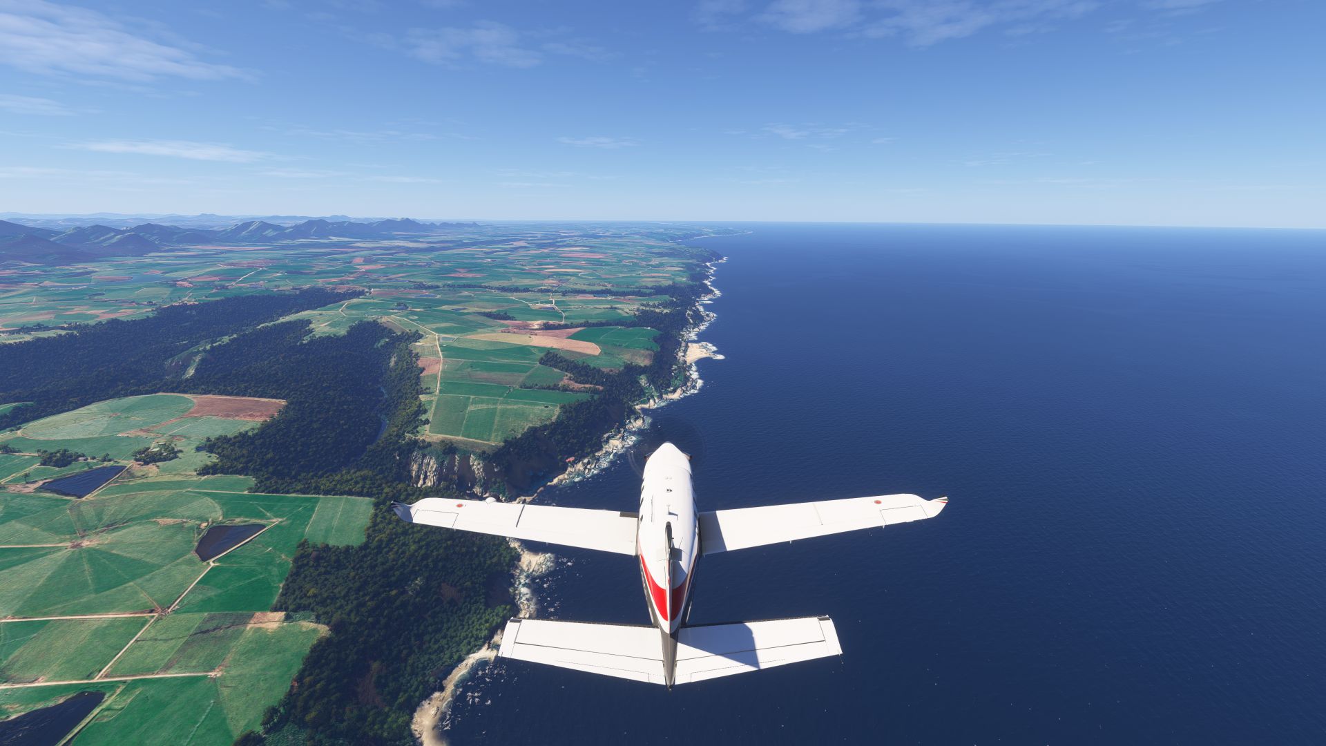
It’s a relatively short trip to Durban, but we are going to fly low to see the coastline, and we have extra gear on board, so we’ve filled the tanks to be on the safe side.
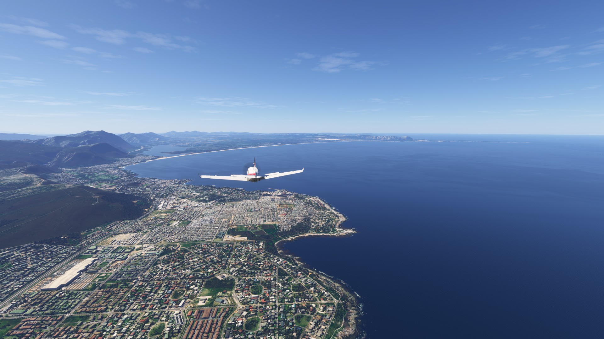
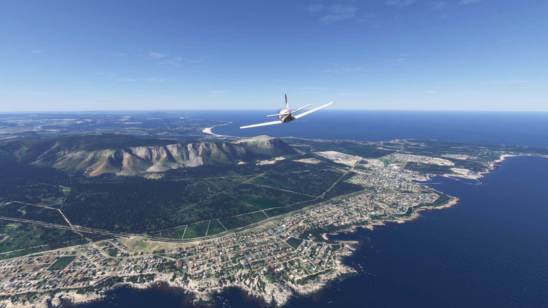
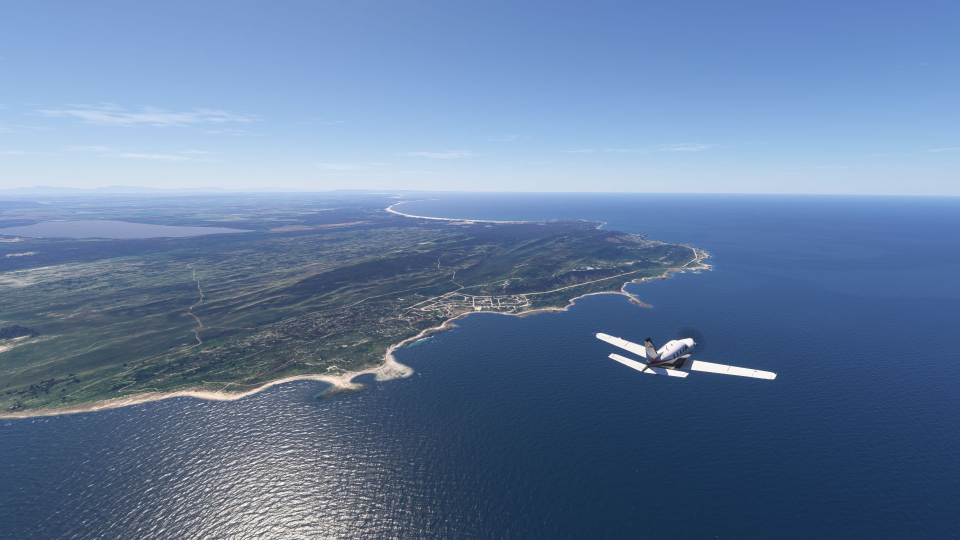
Rounding the Southern-most tip of Africa at Stuisbaai (I think)
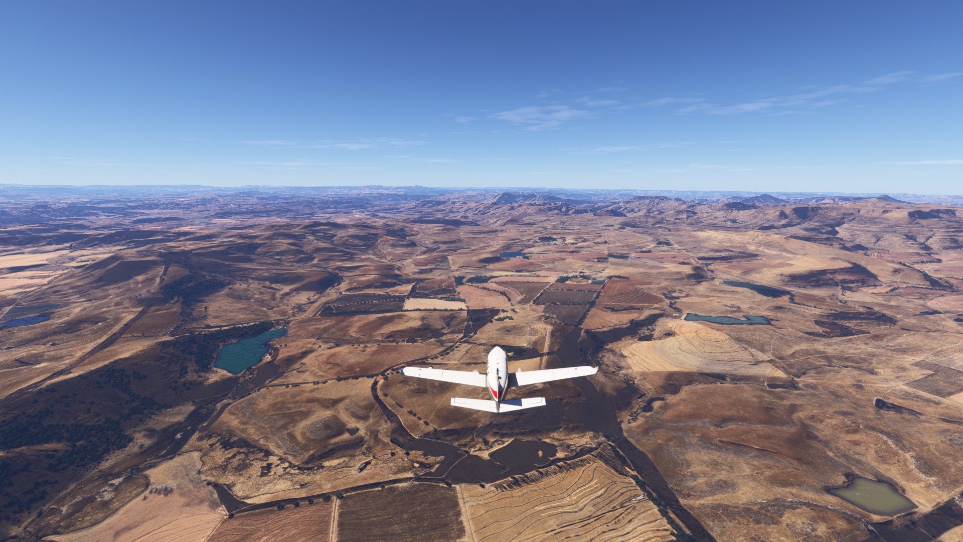
Inland to see the mountains near Lesotho, amazing contrast to the green coast.
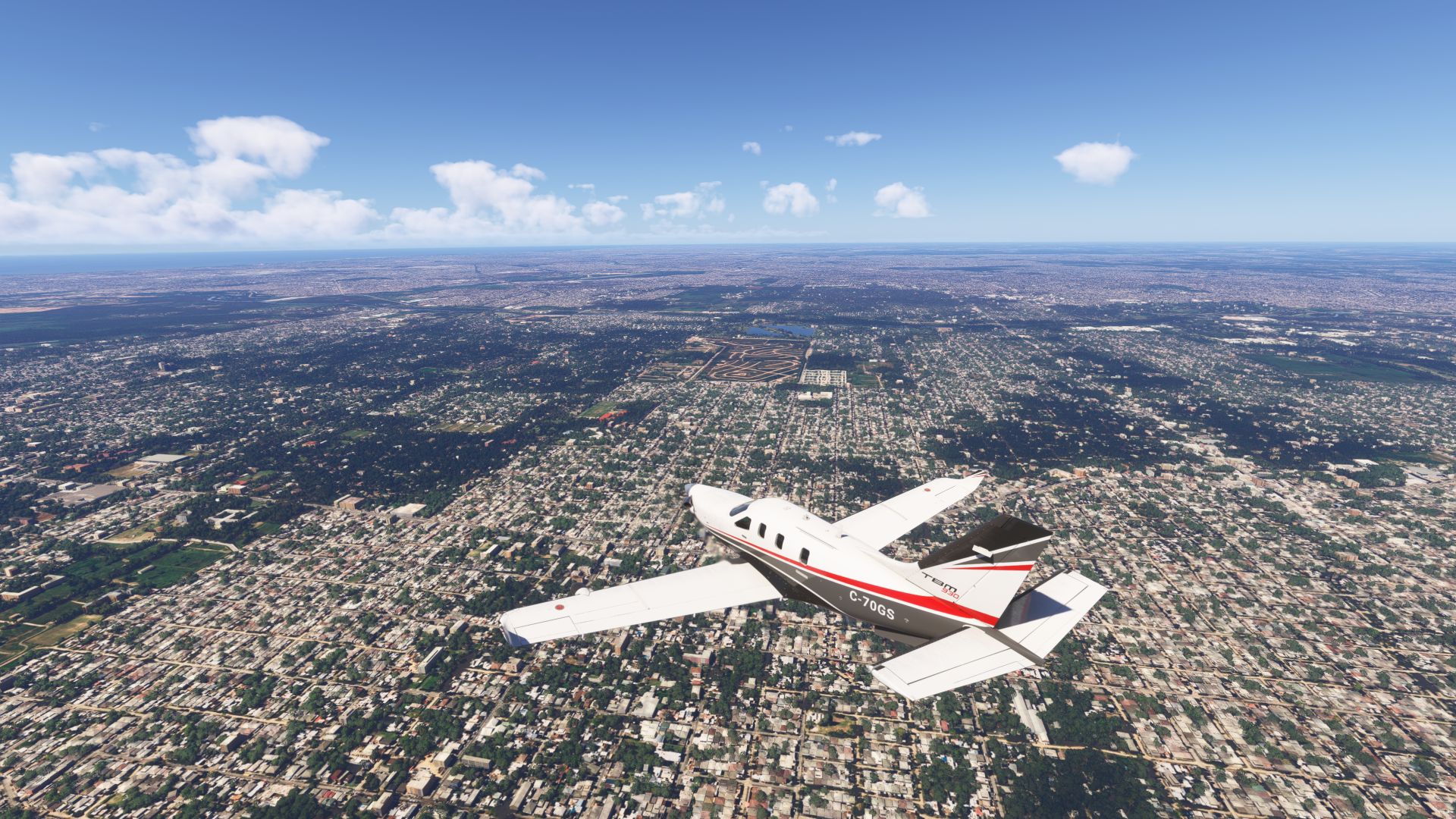
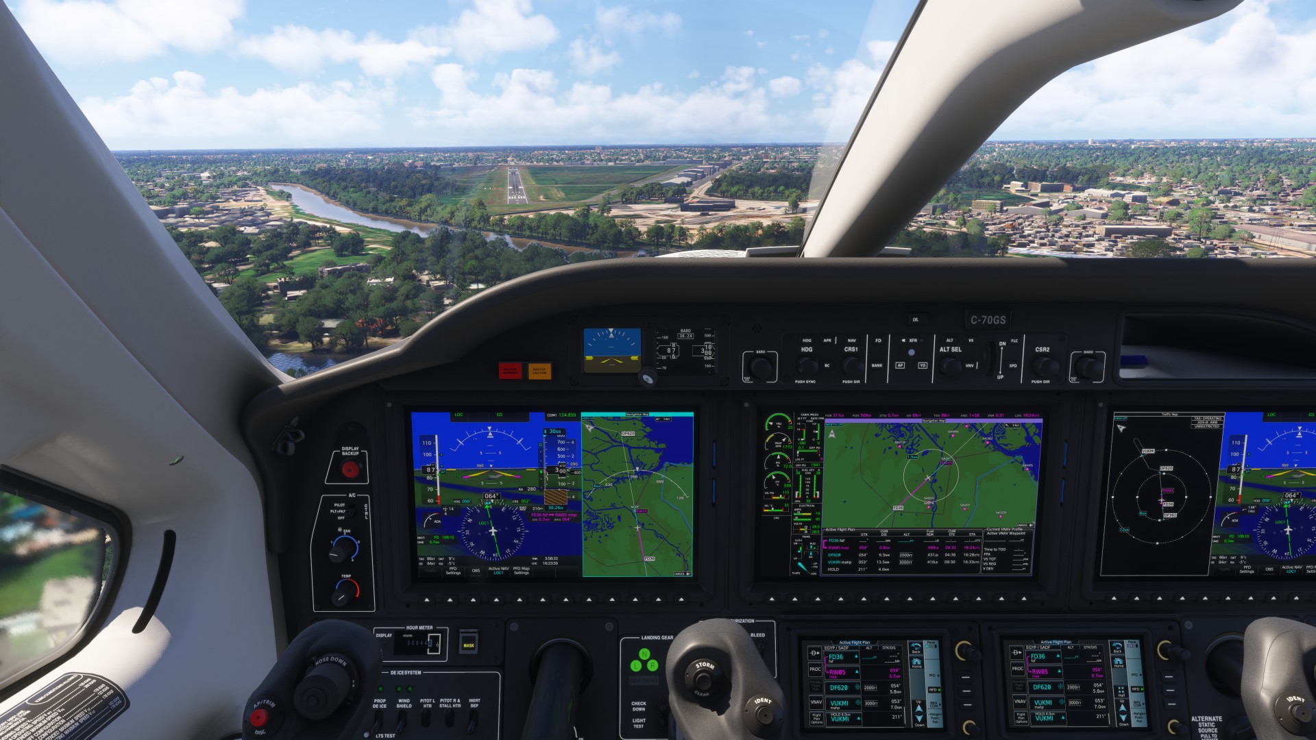
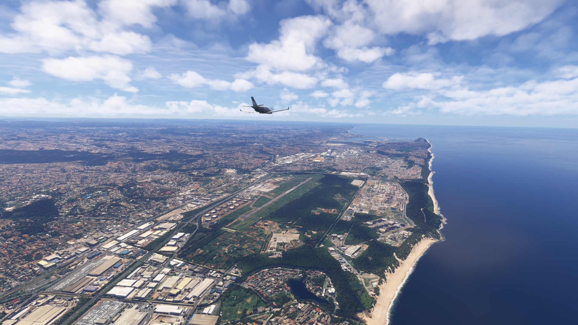
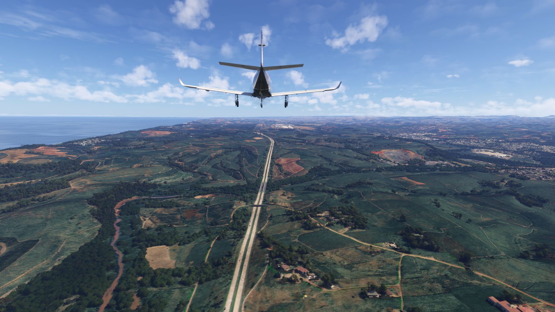
Durban arrival
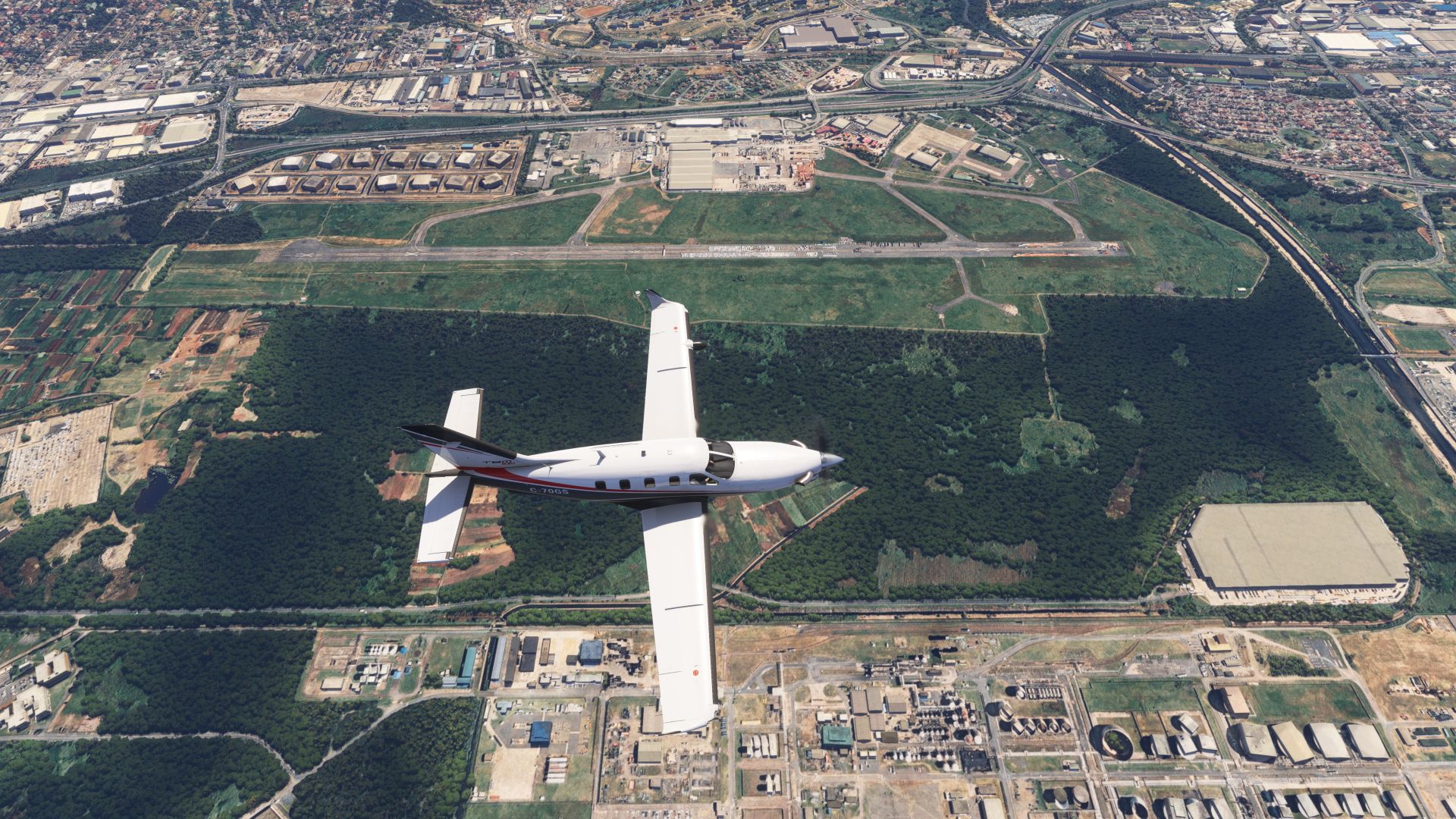
Old Durban airport, closed in 2010?
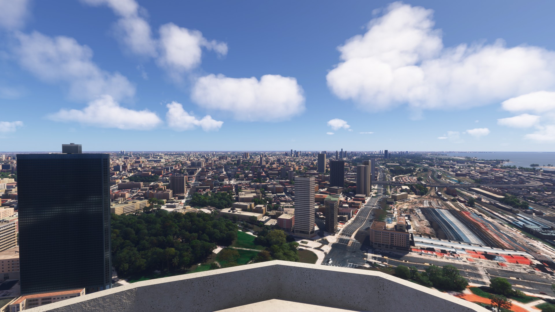
Hotel on the beach before a long trip tomorrow
Awesome, I wish the scenery was fully updated though.