SBP 1: Canada #008
Flight from Clearwater (CDJ4) to Edmundston (CYES).
-
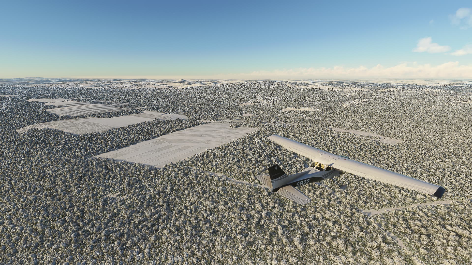
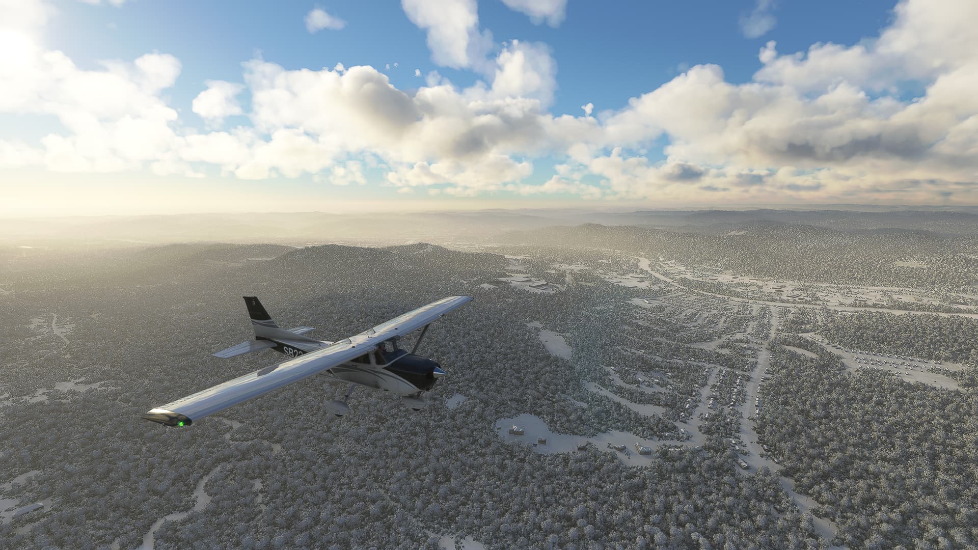
Fields near Tobique River with the Cameron Mountain Range in the background.
-
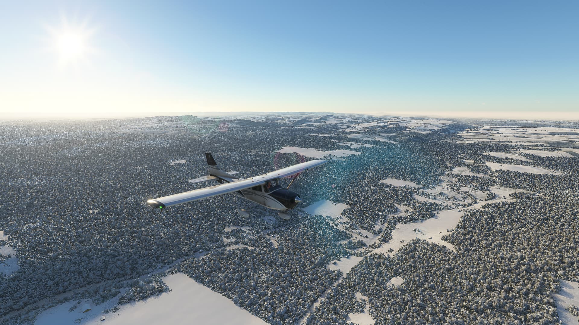
Crossing Chemin Sutherland Brook Road at the border between Drummond Parish and Denmark Parish.
-
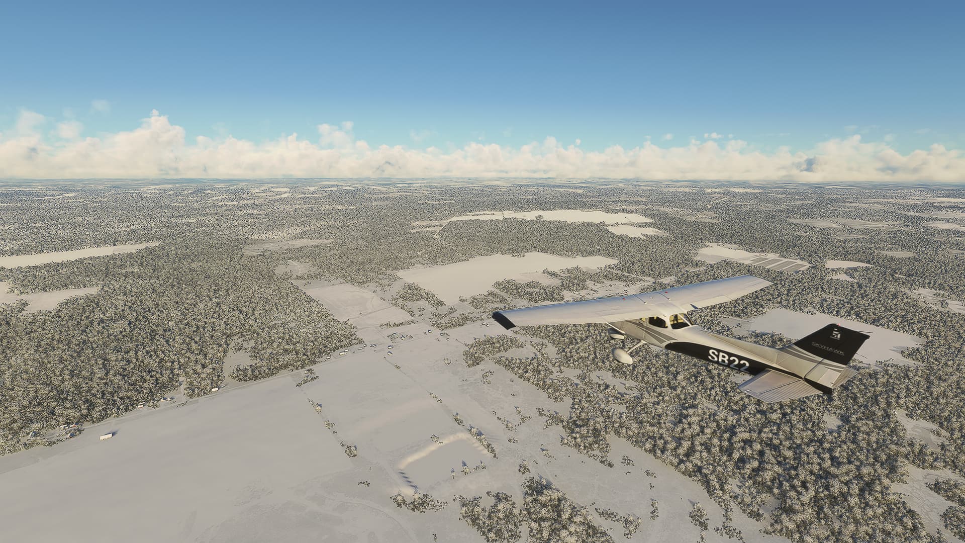
A few houses along Chemin St. Amand Road near Saint-Leonard Airfield.
-
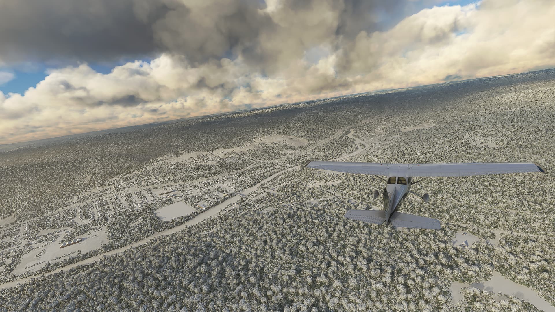
Riviere Verte (the river) as seen from above Route 2 near Riviere-Verte (the town).
-
Looking down the Chemin Olivier-Boucher towards the Parc Industriel Nord of Edmundston. The mountain Cote a Blanchette can be seen just above our left wing tip.
-
Taken just before starting our descent: The town to our left is Saint-Jacques just south of the New-Brunswick-Quebec border. It sits on the left side of the Madawaska River.
Notes:
- For the first time in a week LiveWeather allowed me to use it and still take good pictures. Somehow I forgot that it’s winter right now so imagine my surprise when I saw a snowy landscape for the first time in my whole MSFS 2020 career.
- Clearwater Airfield is way better for take-offs than for landings!
- While Edmundston is still in New Brunswick its airport is already part of Quebec! Before checking I believed New Brunswick would be far larger and stretch north towards the St. Lawrence River but apparently that’s already Quebec.