SBP 1: Canada #009
Flight from Edmundston (CYES) to Saint-Apollinaire (CAA4).
-
Lac Legare (closer) and Lac Jerry (further away) near Packington.
-
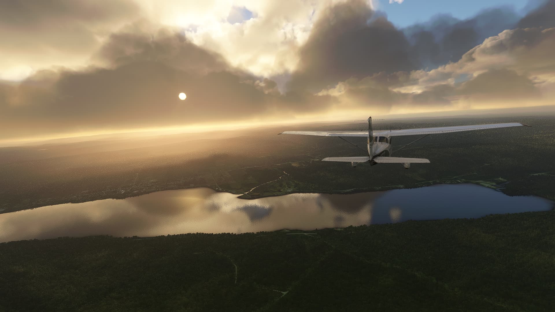
Above Lac Pohenegamook with Saint-Eleuthere on the other shore to the left as well as the Riviere Boucanee entering the lake in the center background.
-
Arriving at the Baie de Kamouraska (near the small peninsula) on the eastern bank of the Estuaire Moyen du Fleuve Saint-Laurent (“Estuary of Saint-Lawrence River”). Below us is the Highway 20 as well as the town of Saint-Pascal.
-
Above the Saint-Lawrence Estuary with the Ile aux Grues and the Chenal de Beaujeu (the strait behind it) in the background.
-
Sunset on the northern part of Ile d’Orleans near Quebec.
-
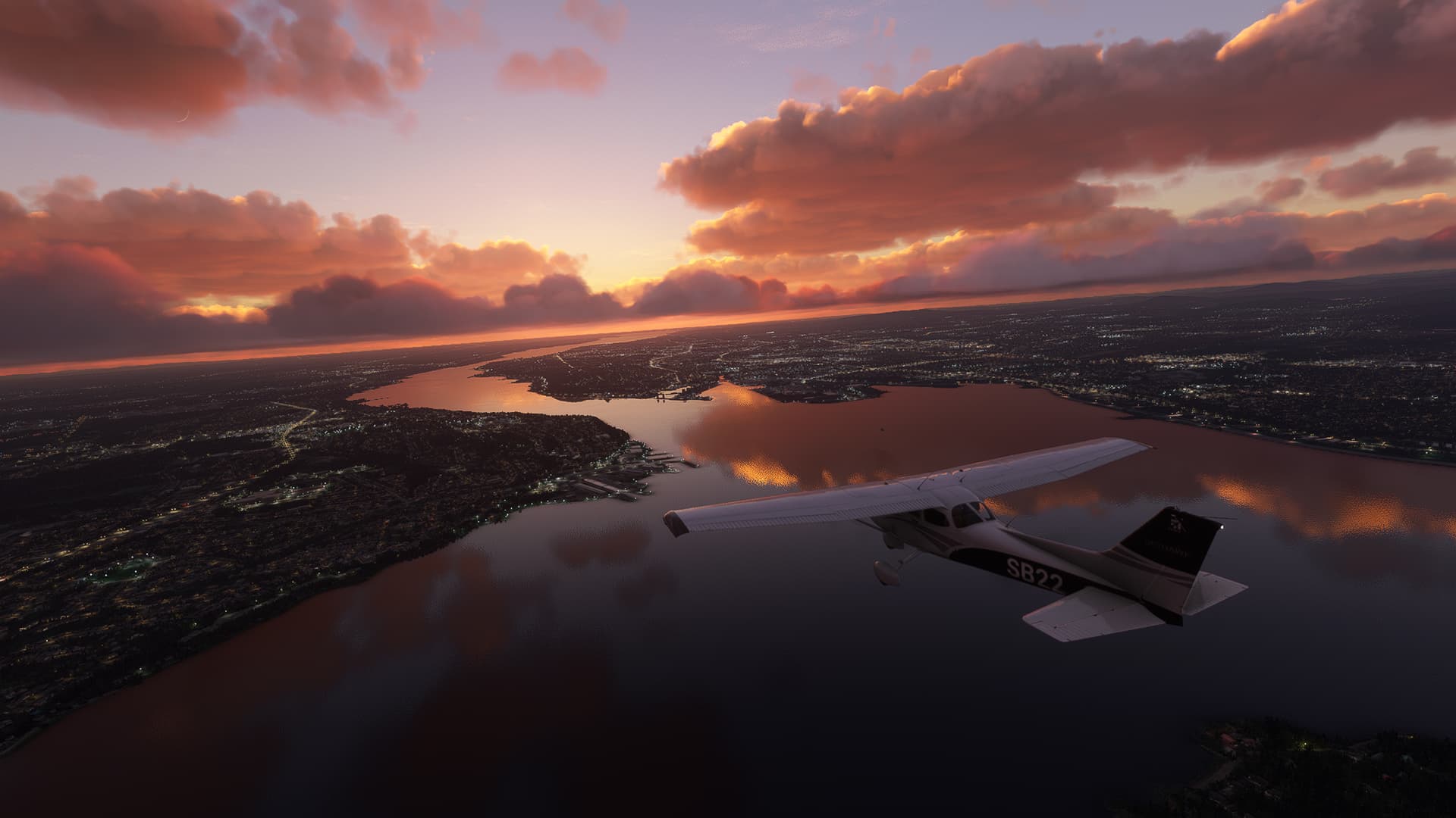
The city of Quebec as seen from Sainte-Petronille (below us) on the southwestern end of Ile d’Orleans.


Notes:
- As LiveWeather decided to not play nice with me I had to switch it off to get some good shots in. Since I hadn’t have the time and mind to manually add snow I will say there was a random heatwave in Canada that melted it in ~6 hours.
- I found one of the - nowadays elusive - “river mountains” on the northeastern end of the Ile d’Orleans. The “river” was hovering about 200ft above the shore with a black void beneath it. Creepy…
- Quebec at night is beautiful. Getting my eyes burnt out by the setting sun while flying westwards above SLR wasn’t as pretty though.