Hello everyone,
I’m starting an adventure: flying all the way around the world and back to New Zealand, using Neofly to generate missions and select destinations along the way.
I’ll be using real-world weather, and no time acceleration whatsoever.
To keep things as realistic as possible, I plan to land at official ports of entry whenever crossing into new countries. I’ll also be utilising BeyondATC for air traffic control and Bushtalk radio to point out points of interest along the way.
All flights will be logged in FSHub to maintain a detailed record of the journey. Instead of posting here after every flight leg, I’ll share updates after reaching key milestones, which may include several legs at a time.
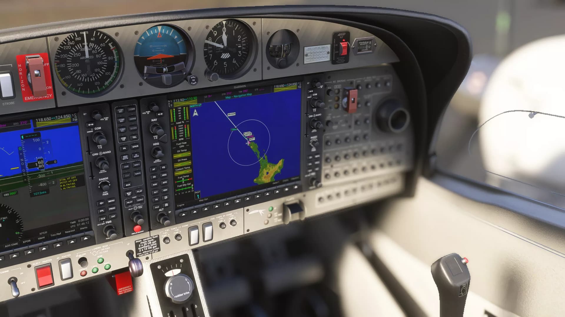
The goal is to fly the missions generated by Neofly, earn money, and gradually rent or purchase new aircraft as the journey progresses. For the most part, however, I’ll be flying the DA42 for the majority of this trip.
I’m looking forward to the challenge and will be sharing my progress here.
Any advice, mission suggestions, or words of encouragement are very welcome!
PS: I have a request for a repaint if you’re a repainter or know someone who is up here: https://flightsim.to/requests/liveries/42760/cowsda42-zk-squ-red-peak
2 Likes
Chapter One Part 1 - New Zealand
Chapter One is comprised of the following 14 legs and you can click “View” to see more details on each leg, plus all screenshots taken on that leg. I like that it will show the exact route I took and you can see on the flight map where the screenshots were taken.
(This table is in reverse chronological order which is a bit confusing; I’ll try to adjust for future chapters)
| Date |
Departure |
|
Arrival |
Aircraft |
Landing rate |
Distance |
Flight time |
|
| 18MAY25 0534Z |
NZWR |
|
NZKT |
Diamond Twin Star (DA42) |
-231 ft/m |
90 nm |
00:42 |
View |
| 18MAY25 0244Z |
NZAA |
|
NZWR |
Diamond Twin Star (DA42) |
-299 ft/m |
86 nm |
00:42 |
View |
| 13MAY25 1036Z |
NZGB |
|
NZAA |
Diamond Twin Star (DA42) |
-161 ft/m |
61 nm |
00:30 |
View |
| 12MAY25 0915Z |
NZRO |
|
NZGB |
Diamond Twin Star (DA42) |
-225 ft/m |
138 nm |
00:57 |
View |
| 11MAY25 1043Z |
NZPM |
|
NZRO |
Diamond Twin Star (DA42) |
-147 ft/m |
181 nm |
01:18 |
View |
| 10MAY25 0530Z |
NZNS |
|
NZPM |
Diamond Twin Star (DA42) |
-295 ft/m |
163 nm |
01:01 |
View |
| 09MAY25 0915Z |
NZWN |
|
NZNS |
Cessna Skyhawk (C172) |
-11 ft/m |
101 nm |
02:47 |
View |
| 05MAY25 1044Z |
NZCH |
|
NZWN |
Beechcraft G36 Bonanza (BE36) |
-72 ft/m |
171 nm |
01:00 |
View |
| 04MAY25 0542Z |
NZFO |
|
NZCH |
Beechcraft G36 Bonanza (BE36) |
-151 ft/m |
152 nm |
00:56 |
View |
| 02MAY25 0534Z |
NZQN |
|
NZFO |
Cessna Skyhawk (C172) |
-125 ft/m |
123 nm |
01:05 |
View |
| 30APR25 1101Z |
NZMO |
|
NZQN |
Cub Crafters CC-19 XCub/NXCub (CC19) |
-53 ft/m |
59 nm |
00:33 |
View |
| 30APR25 0906Z |
NZCB |
|
NZMO |
Cub Crafters CC-19 XCub/NXCub (CC19) |
-191 ft/m |
46 nm |
00:23 |
View |
| 29APR25 0924Z |
NZNV |
|
NZCB |
Aveko VL-3 (VL3) |
-69 ft/m |
27 nm |
00:16 |
View |
| 29APR25 0808Z |
NZRC |
|
NZNV |
Aveko VL-3 (VL3) |
-159 ft/m |
39 nm |
00:26 |
View |
Photo album highlights… I might try and constrain myself to just one or two images per leg just to give a flavour and not clutter the thread… we’ll see how we go
Leg 1:
First Picture of the whole adventure:
Leg 2:
Leg 3:
Leg 4:
Leg 5:
Leg 6:
Leg 7:
Chapter one - Part 2
Leg 8: A stormy day to fly to Nelson to pick up the DA42
Leg 9:
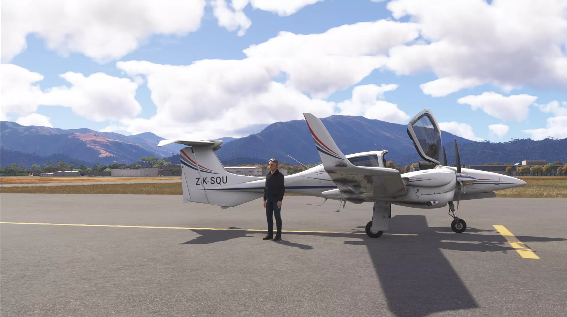
Isn’t she beautiful?
Windfarm near Palmerston North
Leg 10:
Tried another livery
Flying over Taupo
Leg 11:
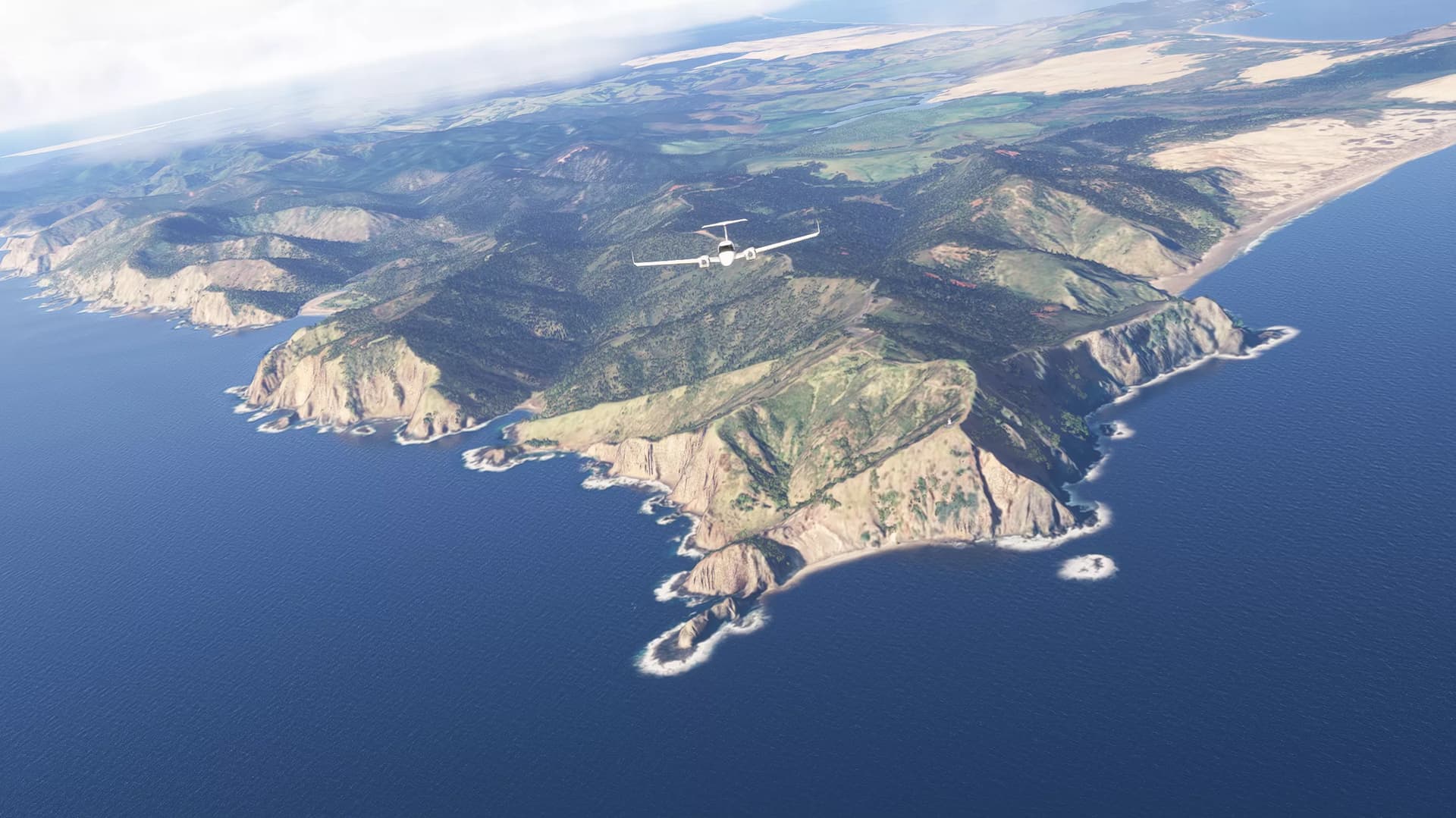
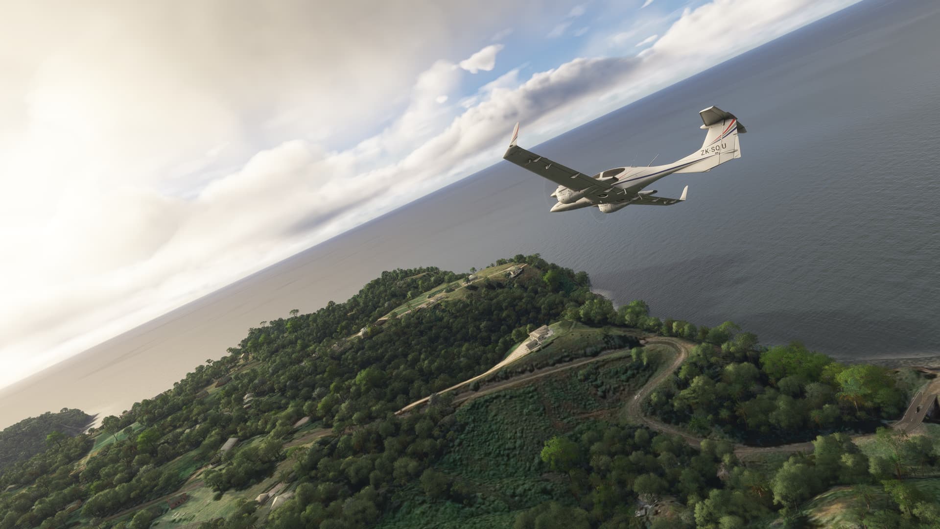
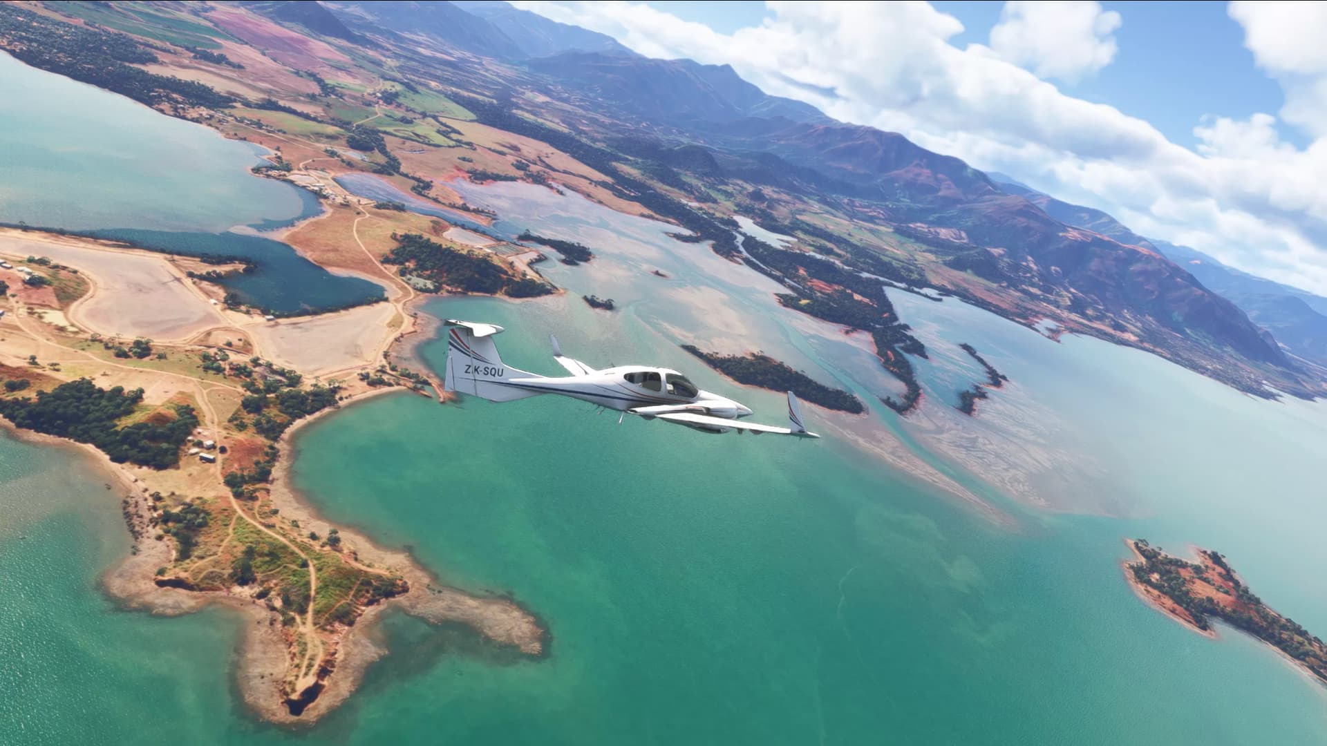
Over Tauranga
Leg 12:
Chapter one - part 3
Leg 13:
Trying another livery. I can never decide which I like!
Leaving New Zealand’s busiest Airport, Auckland International Airport:
Leg 14:
Love these curves
I kinda screwed up the approach in the low visibility
Chapter 2 - Part 1 - Leaving New Zealand to Norfolk Island
Log details. As always, click the “View” link for full details and all screenshots
| Date |
Departure |
|
Arrival |
Aircraft |
Landing rate |
Distance |
Flight time |
|
| 25MAY25 0502Z |
NZKT |
|
YSNF |
Diamond Twin Star (DA42) |
-70 ft/m |
469 nm |
02:58 |
View |
Last time standing on New Zealand soil for some time:
Definitely the longest route to date… by miles
Goodbye to the top of the North Island
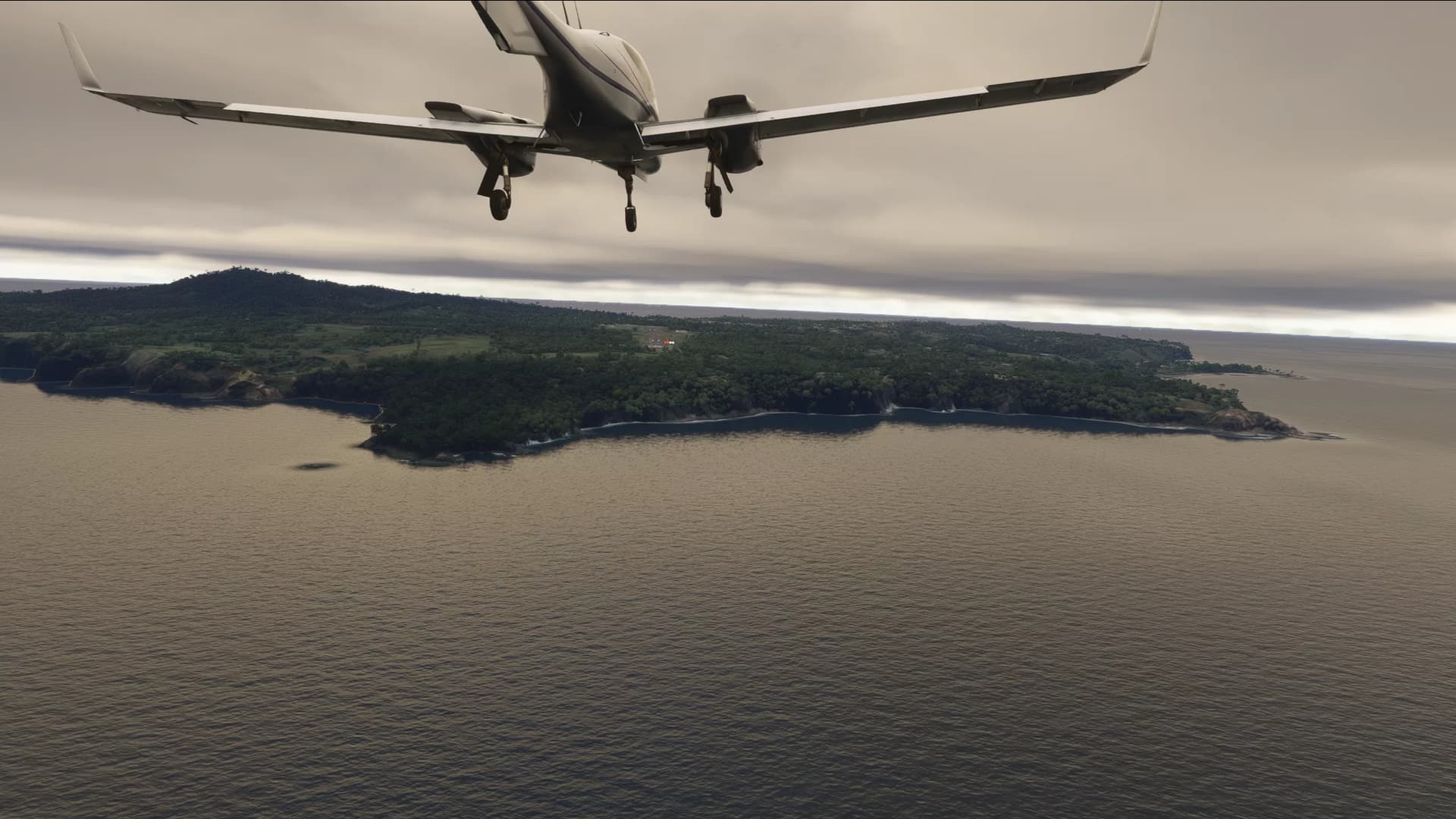
A few hours later and I’m coming in to land at Norfolk Island
While I was here, I picked up some sightseeing missions, who wanted to see the island:
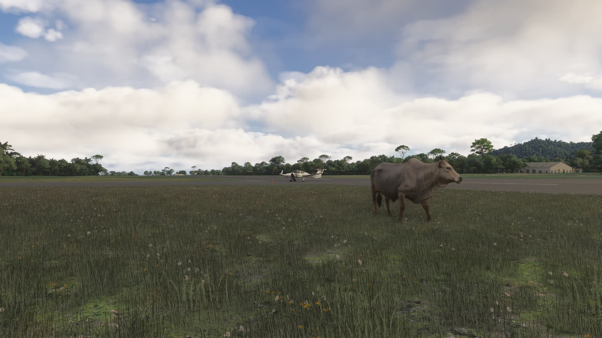
I also made a friend at the airport. Hope it doesn’t wander onto the runway. Maybe I should have rung someone about that…
Chapter 2 part 2 To New Caledonia
Journey so far
| Date |
Departure |
|
Arrival |
Aircraft |
Landing rate |
Distance |
Flight time |
|
| 26MAY25 1301Z |
YSNF |
|
NWWW |
Diamond Twin Star (DA42) |
-82 ft/m |
470 nm |
02:48 |
View |
Departing Norfolk Island
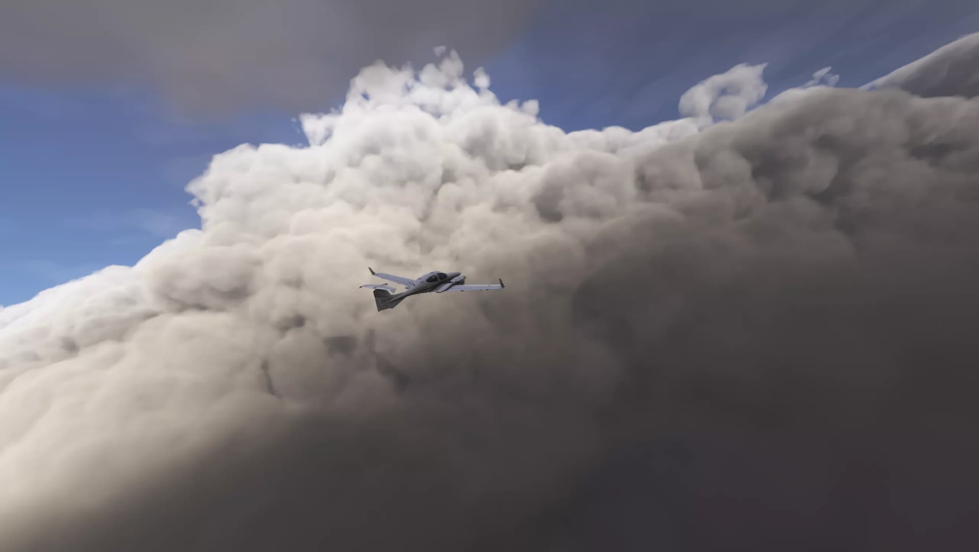
Feeling small against the clouds
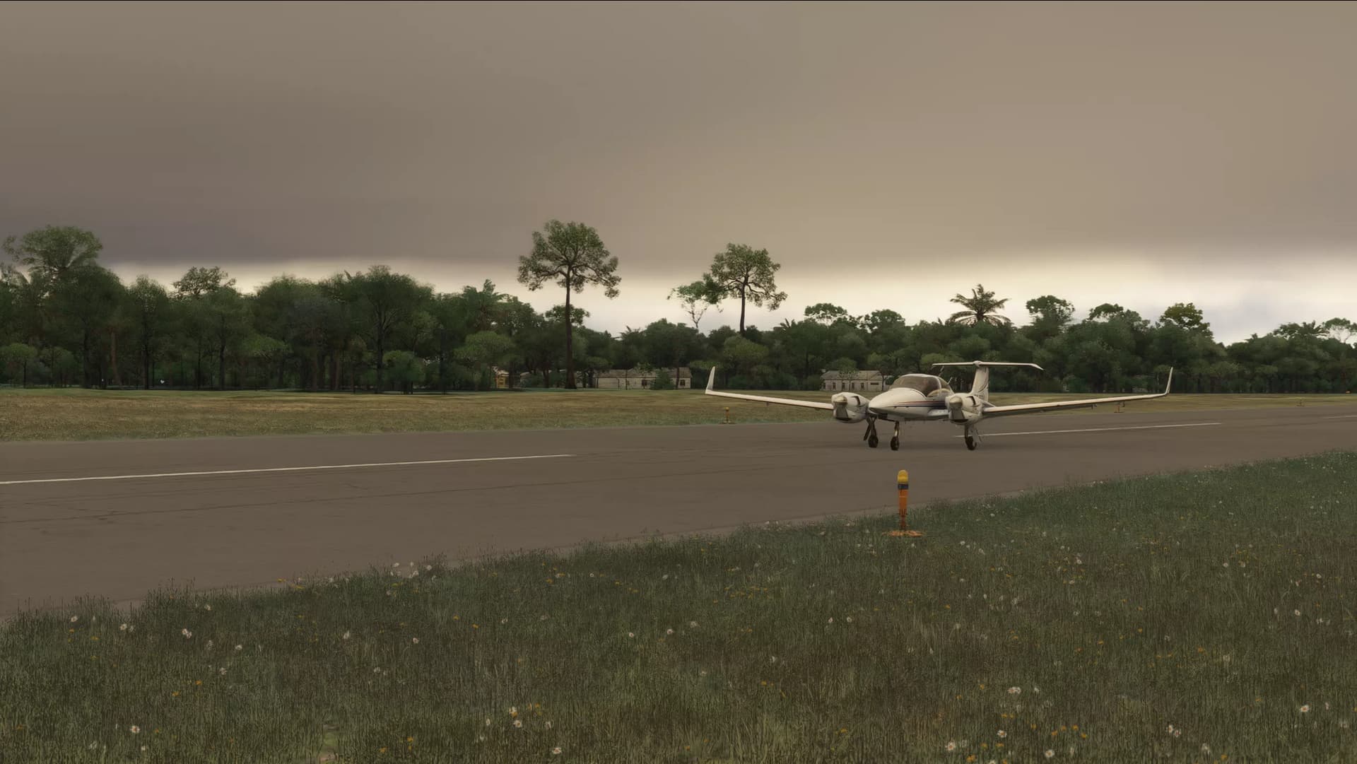
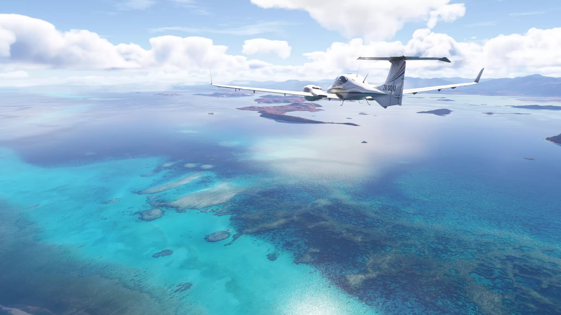
Arriving at New Caledonia
This should be the last of the long ocean legs for a while