As many people know, the water levels in the oceans are not the same across the globe. Many factors come into play here, including gravity and not least meteorological phenomena.
In mfs2020 It should be reproduce more correctly.
In my part of the world, the water level in the oceans is at least 1 m too high. And in the streams it is even more wrong. Well about 1.5 meters or more.
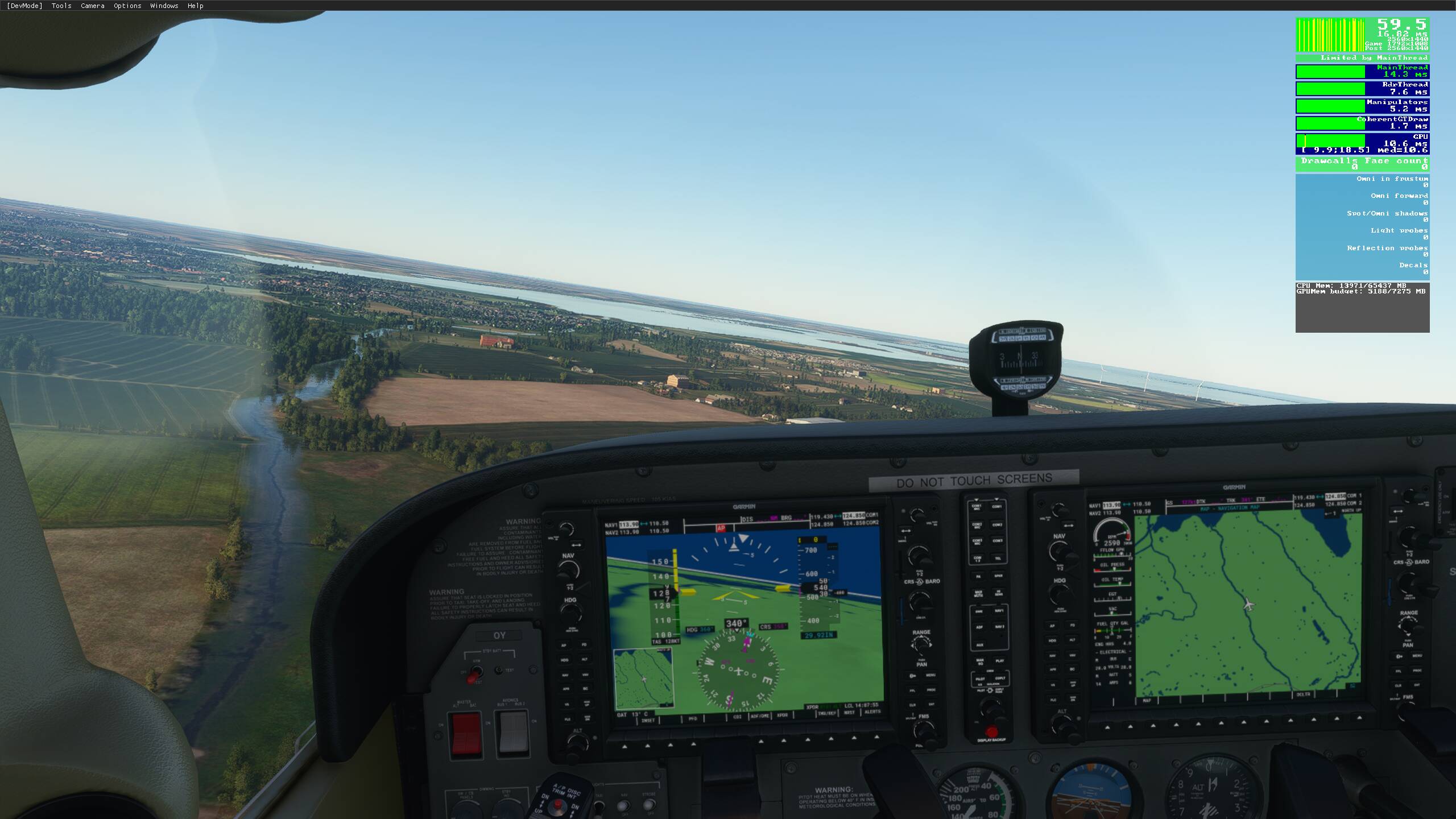
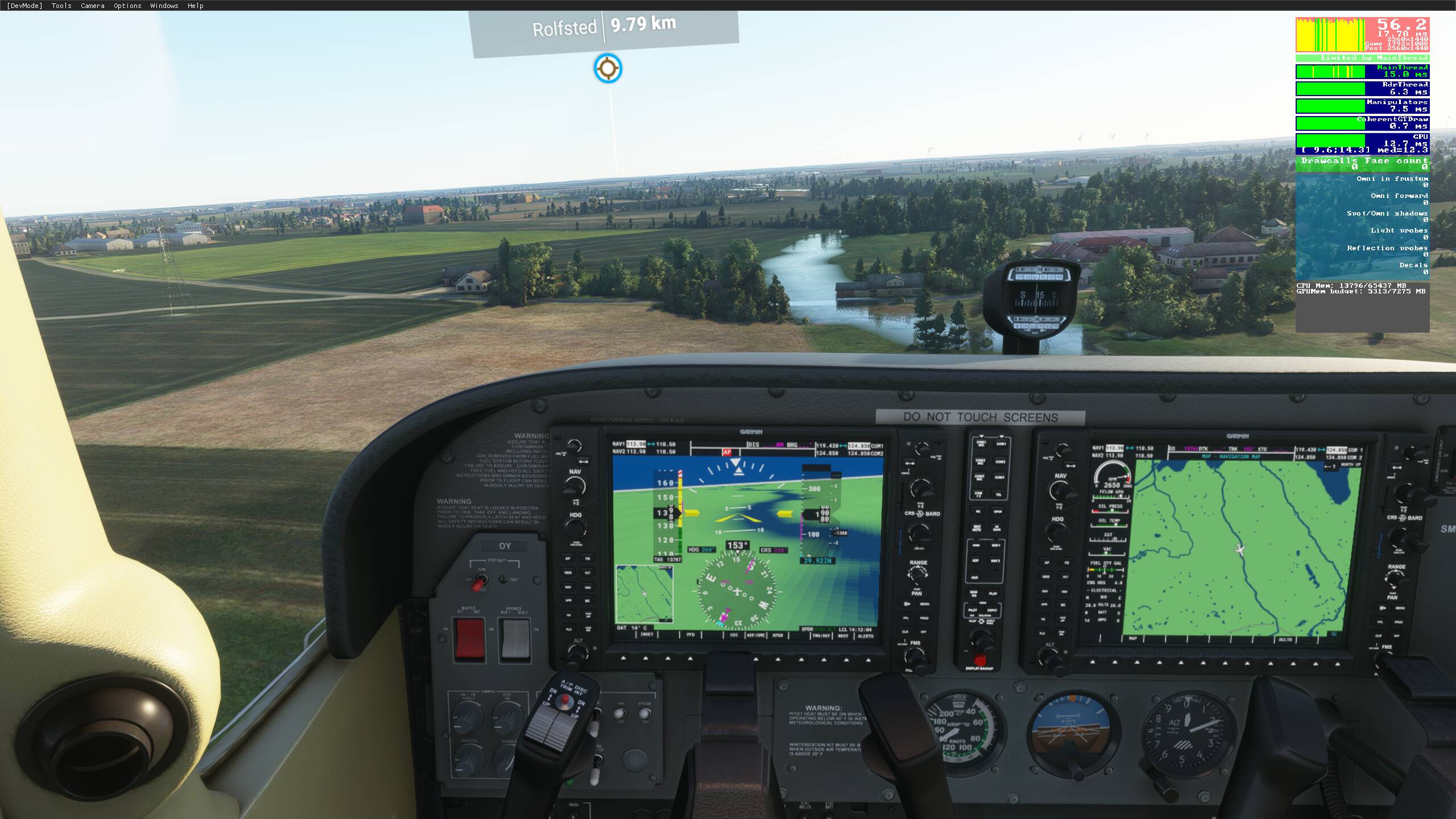
In my immediate area, this means that even the smallest stream looks like a river. We do not have any of them in Denmark. The largest water courses are streams. They are usually up to 8-12 meters wide. By lowering the water level, one could reproduce streams and thus the landscapes more credibly.
Many places - e.g. In London, the water level is so high that it leads to small floods. See for yourself around the city airport.
If nothing else, I am looking for a tool in the SDK program, where you could manually adjust the water levels and in that way could contribute to a more credible landscape. What do you think? Vote for my proposal.
It’s not to high its just because the rivers are flat in thesim and water ways and oceans aren’t well masked off. You can remove the water that goes beyond the banks with water excludes and it looks a whole lot better.
How? What tools? Any tutorials?
Probably best going to youtube, i have a tutorial on starting and saving an sdk project there are other tutorials though a including how to edit in the sdk.
I have worked with the SDK part. Made a couple of small airports on Funen in Denmark.
But in 3D programs like Unity, there is both the possibility of raising or lowering the water level and of course also land areas. We can raise and lower land areas in the SDK, but it would be easier to lower the water level compared to the MESH (3D structure) rendering.
It is possible to lower the terrain upon which the water sits but to be honest as long as the water sits within the banks then it’s not gonna look a whole lot different. I do think they can improve on how rivers are added by the ai though.
When you live in a country that has no mountains but just high hills (and many of them in certain areas) as well as with a coastline of over 6000 km, these factors around the boundaries between water and land begin to mean something to the whole. That is why I want a better result. And also a little for my natural OCD.
I have been lowering the terrain in the lake district, sinking large tarrns and ponds with terraforming polys, that works quite well and looks much more realistic when flying low.
Its possible to do the same with rivers but they vary in height above sea level along their length so choosing where to step the rivers up and how many times is trial and error to get right. Small 0,5 meter increments works well but a meter or more is possible in some places.
The area over which terraforming extends is 200 meters by default, that needs to be reduced to about 10 meters with ponds and around 20-40 meters on rivers.
Global Warming, already being shown?
Was wondering why wet areas such as river banks looked liked flooded areas everywhere.
Yes, that’s exactly my point. The water level is simply too high. But of course there are a number of other factors locally. Some countries, such as Holland lies with large parts below sea level and is therefore behind dikes. We are also in many places in Denmark.
So in addition to a general lowering of the water level, we must have tools that can improve the Meshes that form the 3D shapes.
The current mesh we have simply doesnt allow for the sort of detail that puts rivers at the correct elevations. What we have instead is flat-ish textures and an effect over the top of the rivers shown in those textures and that effect is too wide so it looks like the river is overflowing and flooding surrounding land.
Just putting water exclusion polygons either side of a river in the SDK solves that problem but we are years away from seeing a river lower than its surroundings, we just don’t have that sort of precision with the current mesh as yet. Why would we though when its a flight simulator meant to be seen at 500 feet or above?
Flooding doesn’t bother me as much as some water bodies having vertical walls andsome lakes having hills… just land an A5 in Lake Mead near Vegas you can go surfing, water hills look like sand dunes, also remind me of the alien world in the movie Interstellar
I have owned pretty much all the flight simulators that have been released. But especially FSX and now FS2020 has been able to fulfill my special kick in these simulators, namely building landscapes. In the past, it was almost a must to make a better landscape than the original in the simulator. But with FS2020 you can argue - as you do - that what does it mean when the whole now looks so good.
But as always, the devil is in the details - I know that from my work as a journalist and teacher of multimedia. I have taught several of the tools the gaming industry uses and has used.
With the huge number of simulators already sold, there will always be someone in the community who can do it better and more imaginatively if they just get the tools.
And then the development can really pick up speed. So I hope we get a much stronger SDK for us who want to tinker with the details.
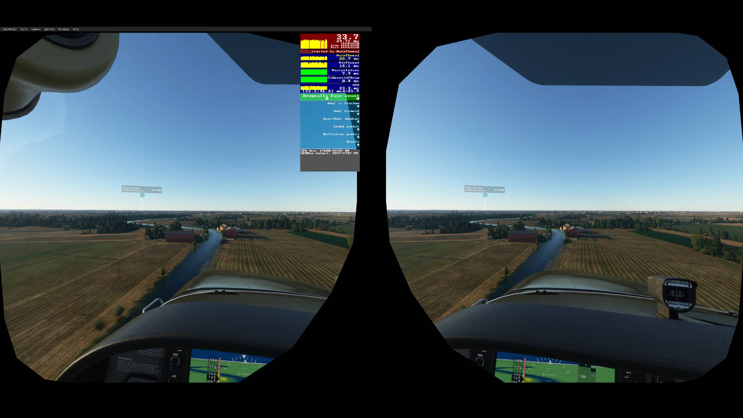
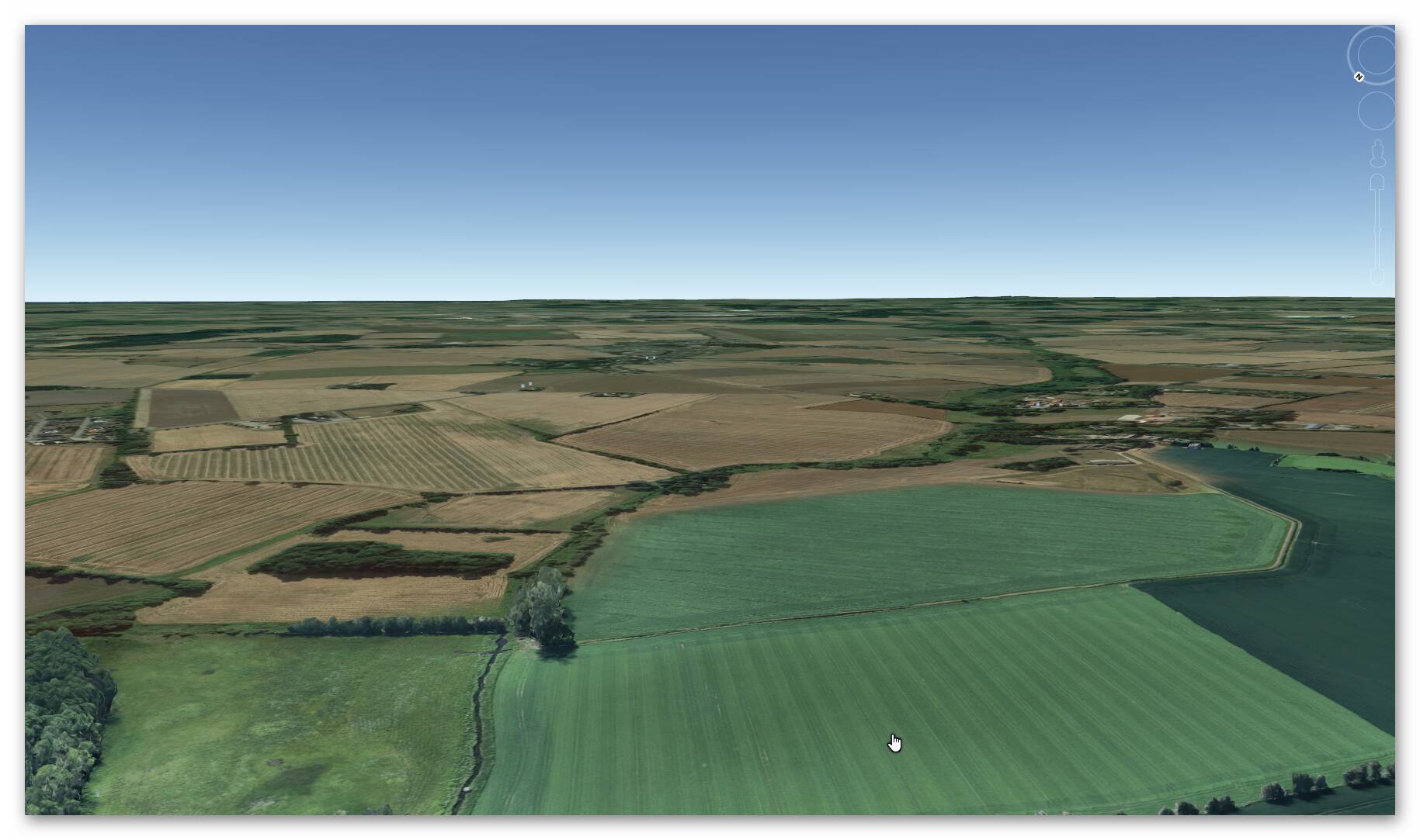
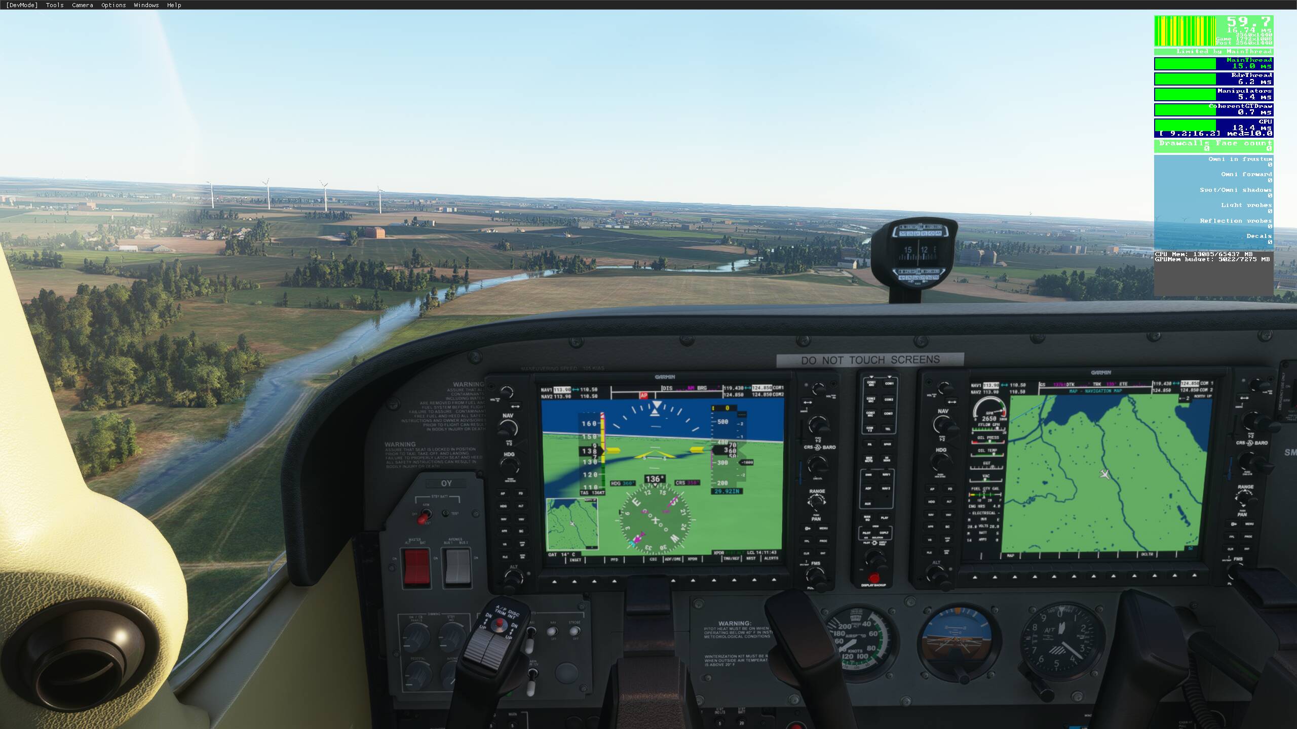
And of course there is a difference in what a landscape looks like, even if, as in the two photos I have attached to the post, you find what corresponds to approx. 500-600 feet above the Earth. They are from roughly the same place - at least the same streams.
Already as one of the many beta testers of FS2020, I drew attention to the seemingly unmotivated flaws you mention.
But that is exactly it. These are program errors that can be detected and eliminated. What I am proposing is a change in the way the program calculates the layer to which the water is attached. The globe if you will.
Maybe I am not understanding what you mean but I really don’t see how changing the layer will have any effect on the issue with water spilling over the banks.
Water has to be layered above the photo scenery, that is how it works in FS2020 so what is required is more accurate tracing of river and stream beds so that water is applied appropriately. Its the analysis of where water should be over the photo scenery that is wrong, not layering and I say this as somebody who has spent many weeks tackling this issue using the SDK.
Its not done the same way as the old sims where everything underneath was water and photo scenery selectively exposed the water beneath. its an effect added to and above the existing photo scenery in FS2020, a different system that needs a different solution.
I understand what you are saying. Water in FS2020 is an effect that is in principle painted over the underlying content. So you can - in principle - paint a river across the Matterhorn mountain.
This is probably also why you sometimes have to remove the effects that already exist in places where e.g. Asobo or their Austrian partner has placed them if one wants to replace the auto-generated content.
I really wanted to know more about the game generator (s) Asobo uses. Do you know if there is information about it somewhere?
Information on how the game generates effects and auto-scenery is somewhat lapse. Even the documentation in the SDK is pretty poor still unfortunately.
This topic was automatically closed 30 days after the last reply. New replies are no longer allowed.