Hey, i’m planning to visit more than a few interesting spots around Earth so i thought it would be nice to share some views of them with the community.
I’m aiming at touristic places that people visit a lot irl, all around the world, some of the best places in each country. This is also useful to compare how these places look in FS compared to real life.
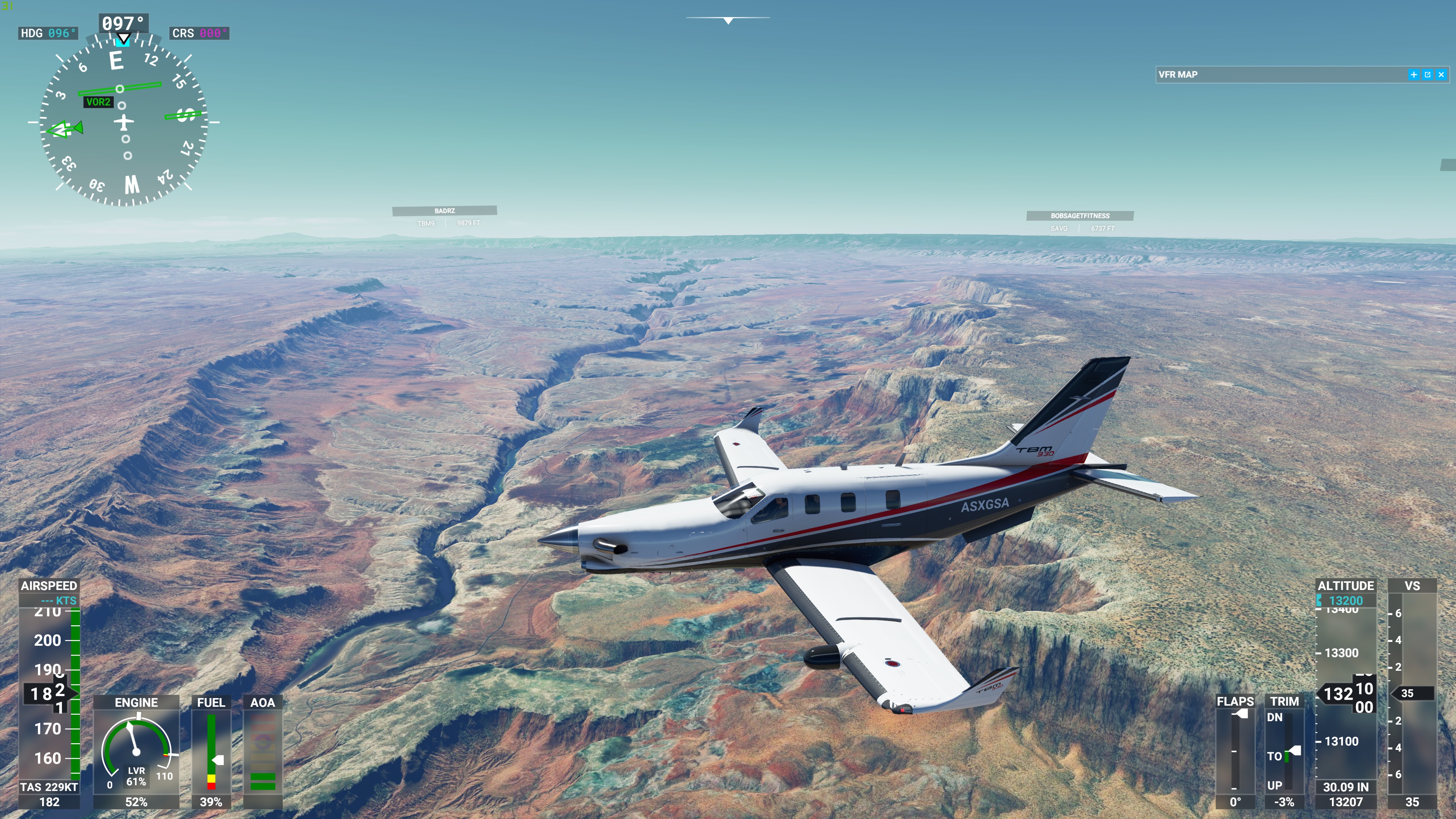
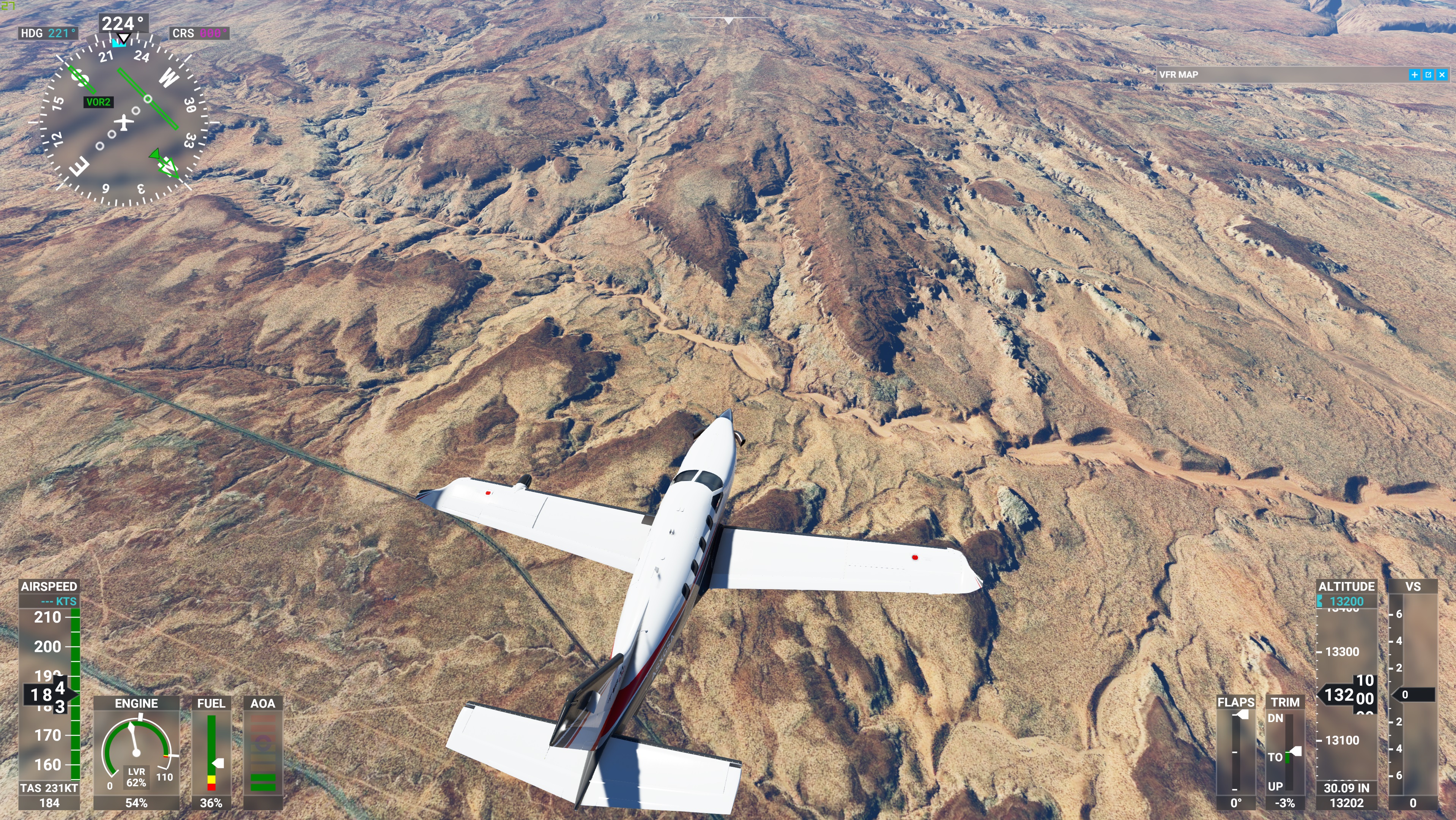
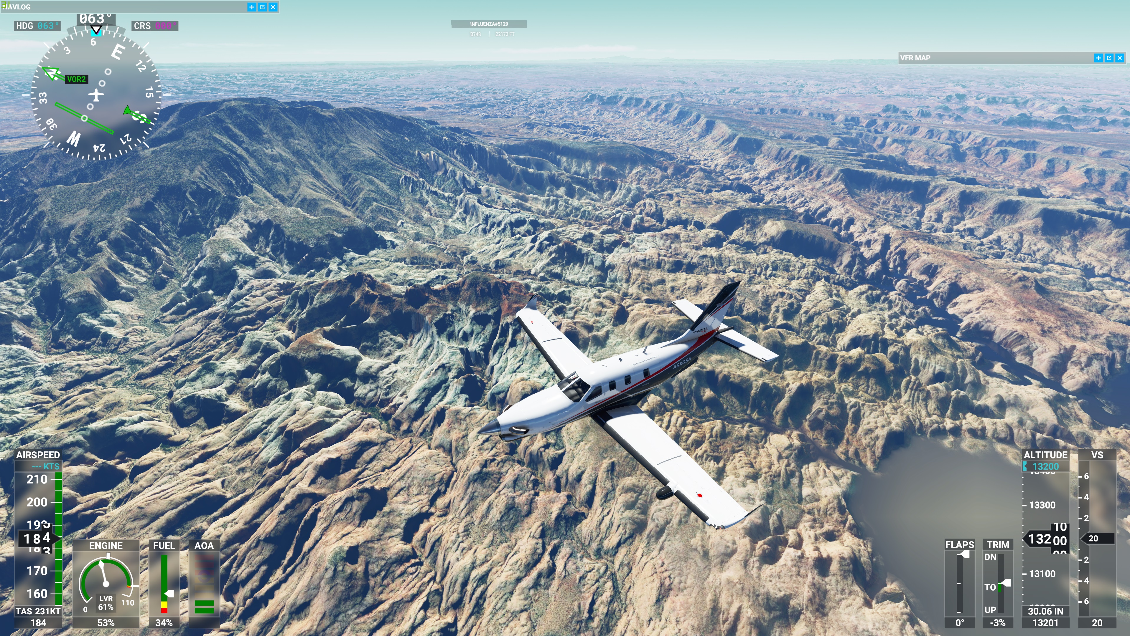
Okay so this first set is about a small tour in Arizona, it was more of a test for my rookie navigation skills too, but i caught some nice views.
These were screen prints but nextime i’ll manage to hide the HUD
I took off from Bryce Canyon, and went to see “The Wave”
My next stop was Antelope Canyon but i had to take a pic of Marble Canyon first.
Antelope Canyon, this is just over the spot where the small “cave” is. Great sight.
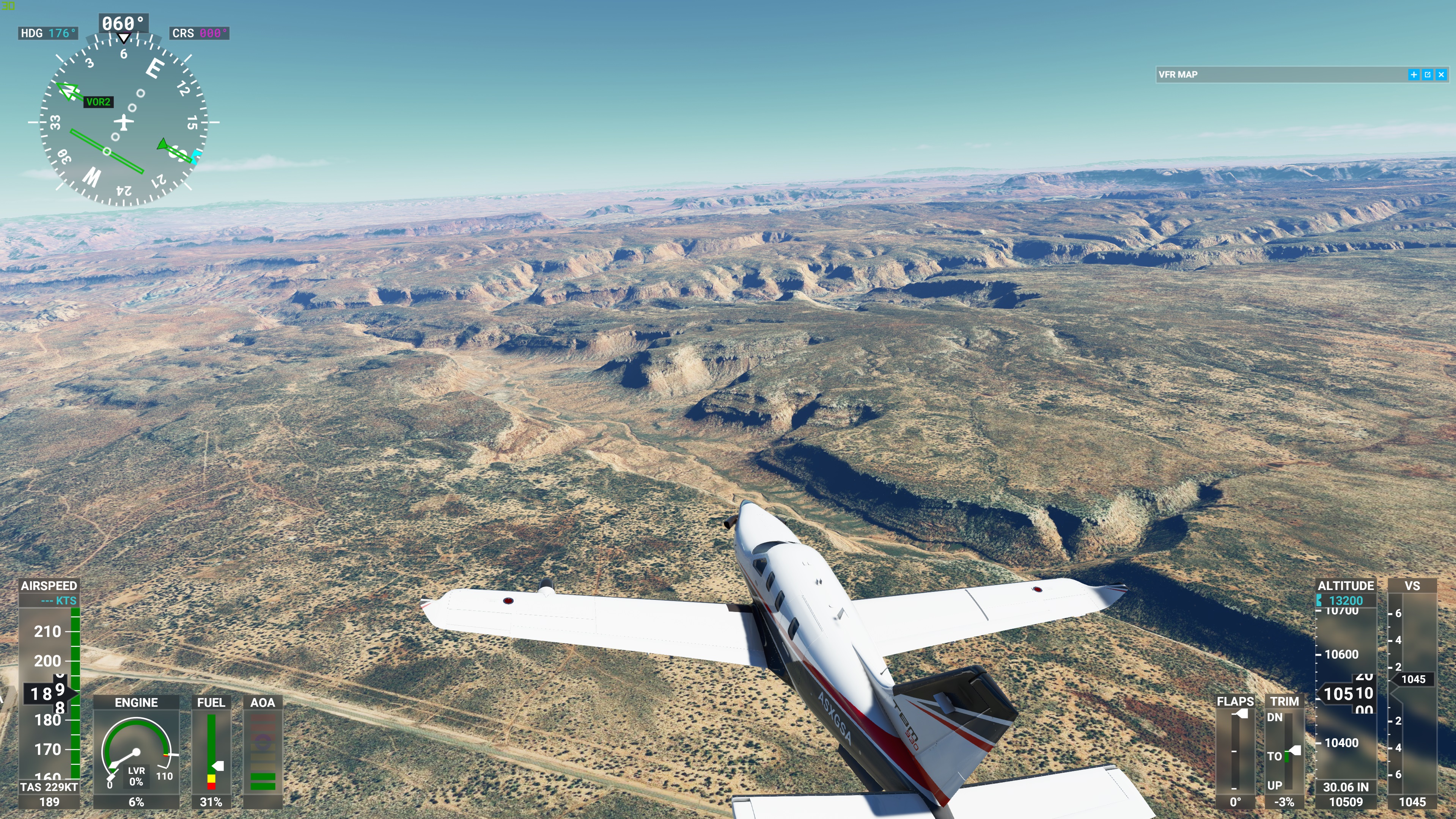
Next i went to Navajo Mountain, and although the Rainbow Bridge wasn’t at sight, it was a great one.
I landed on a small dirt runway behind Navajo Mountain, and this was at sight to the east of the mountain.
Next time i’ll take more shots for sure and longer flights.
I’ll keep posting my next little adventures
Cheers!
5 Likes
Hi everybody!
I did a travel from Helsinki to Riga recently and i even uploaded pictures, but i don’t know how i didn’t realize that the satellite imagery wasn’t downloading at that time so the pictures actually looked pretty bad. 
I did the journey again this time with nice quality terrain, so i will share some pics with you.
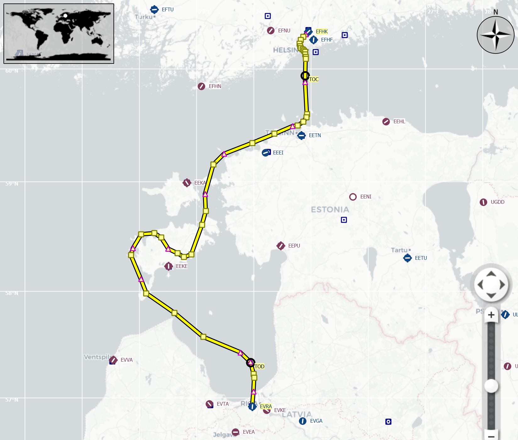
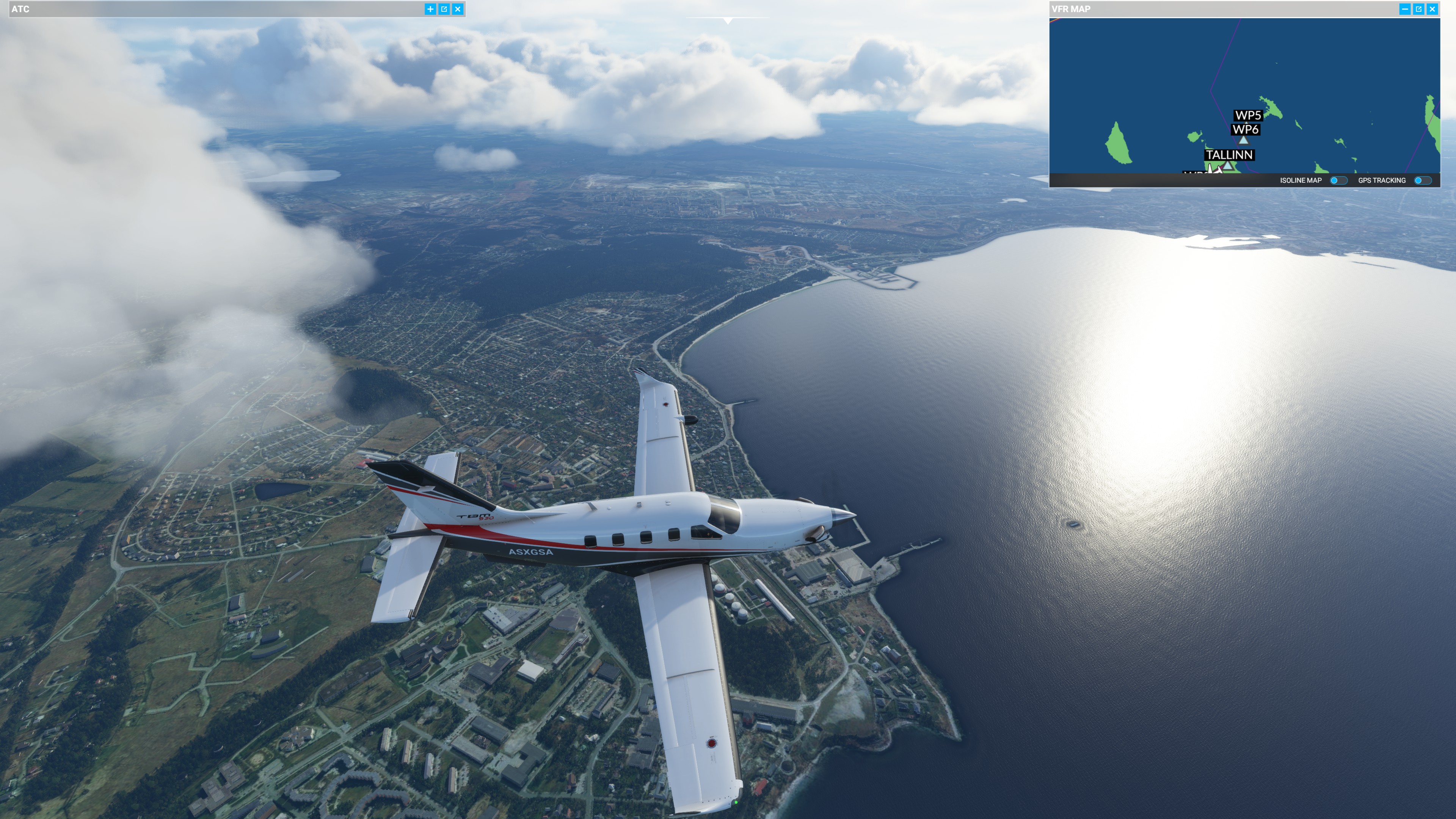
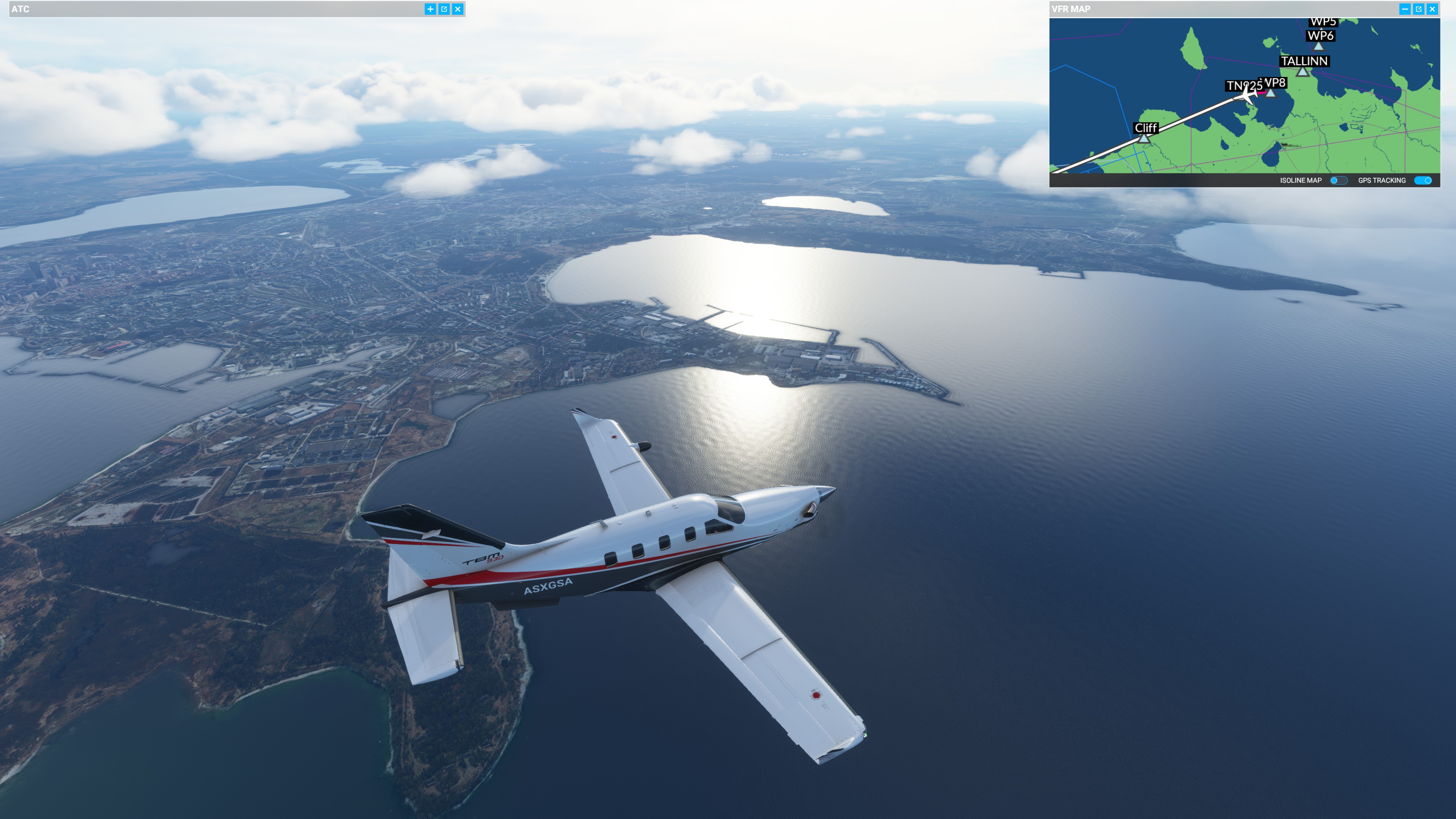
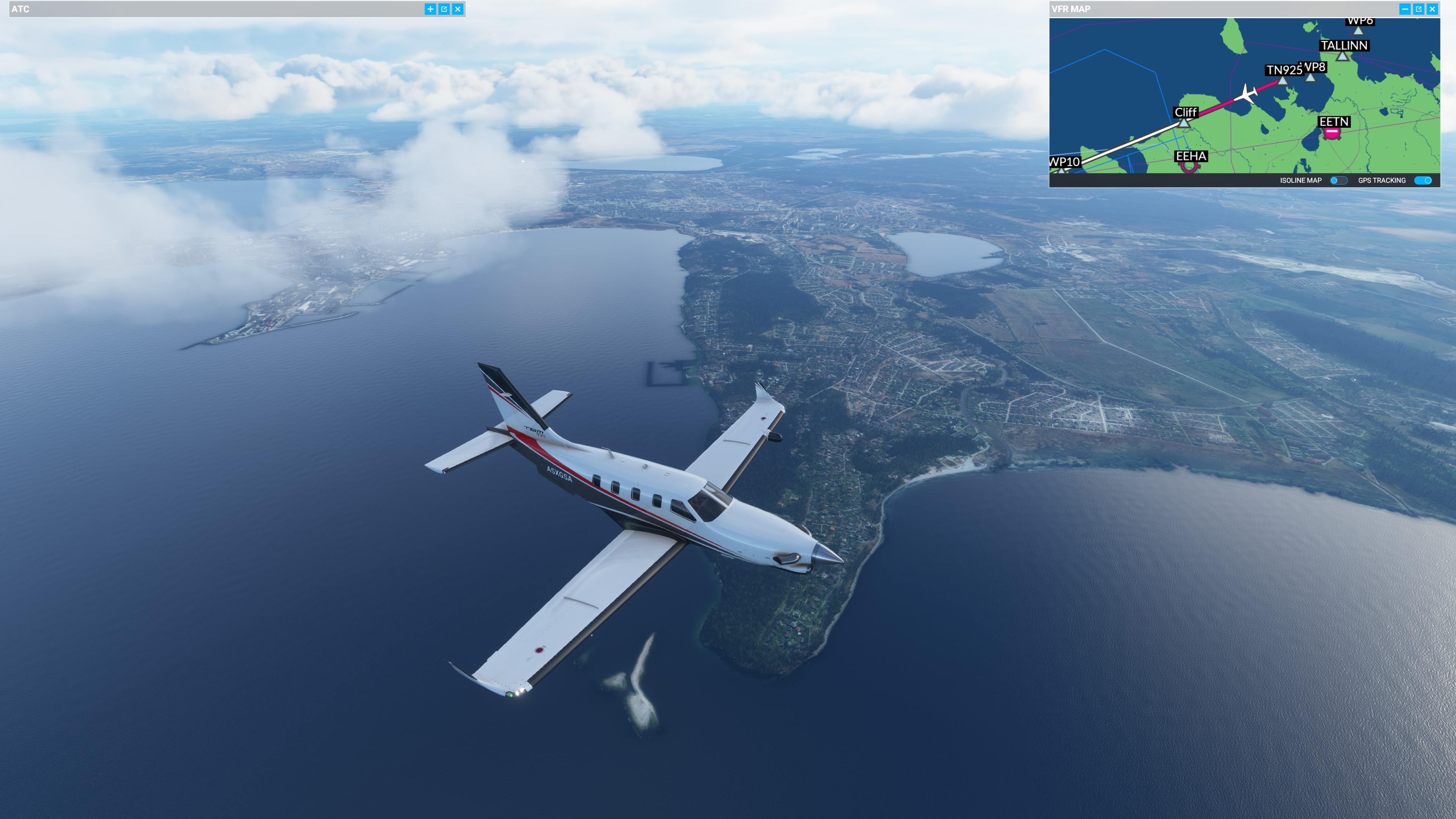
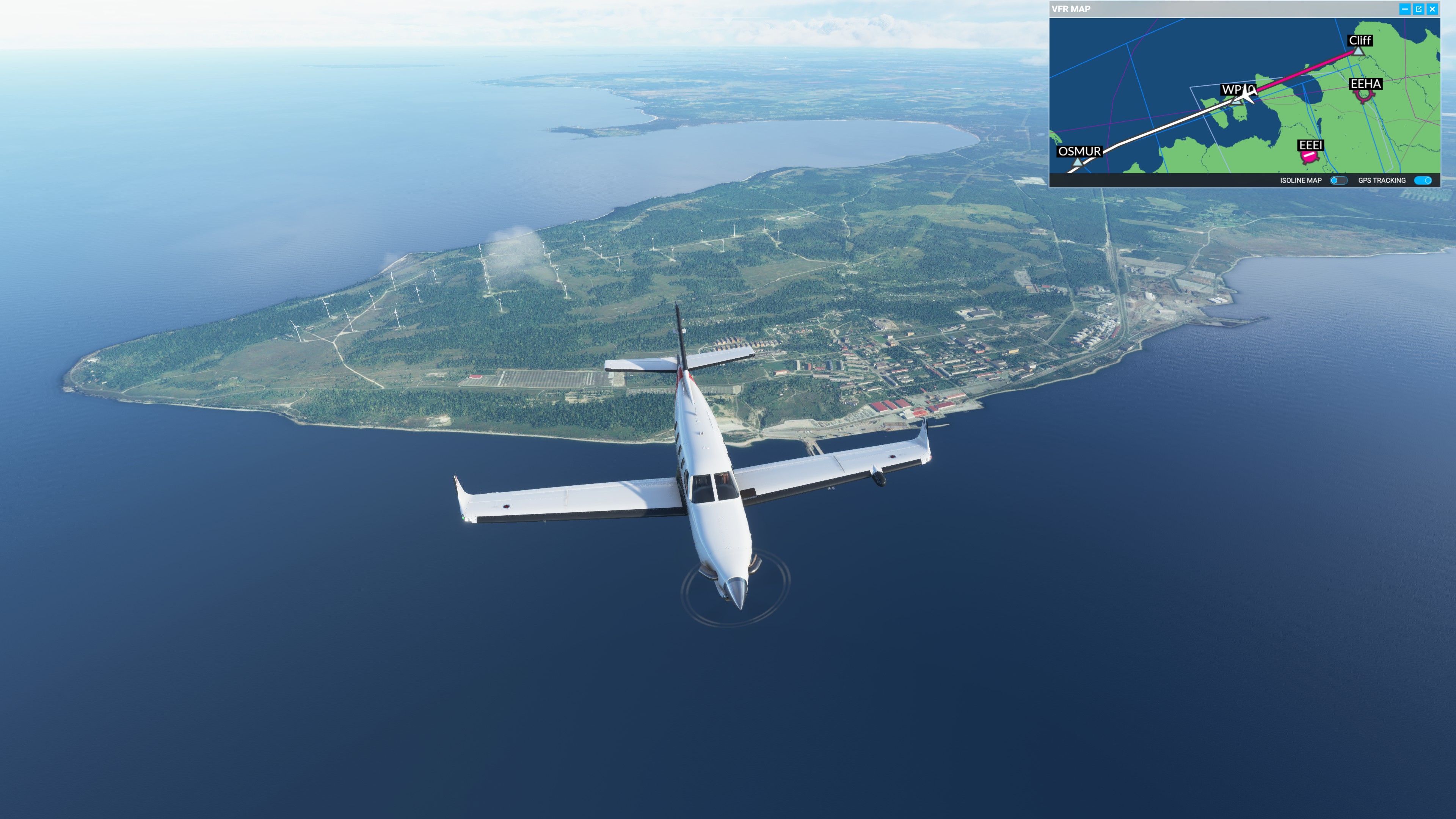
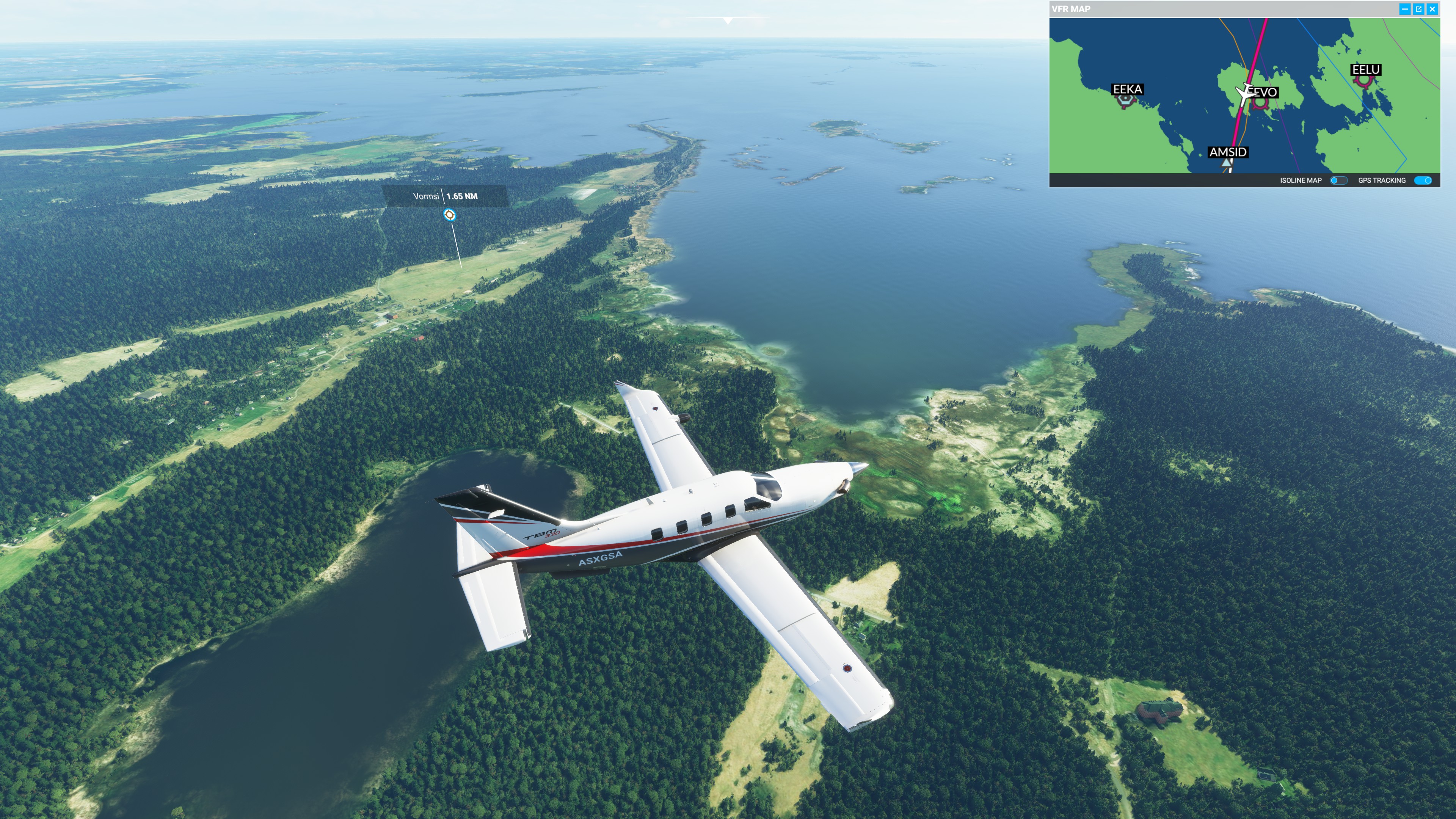
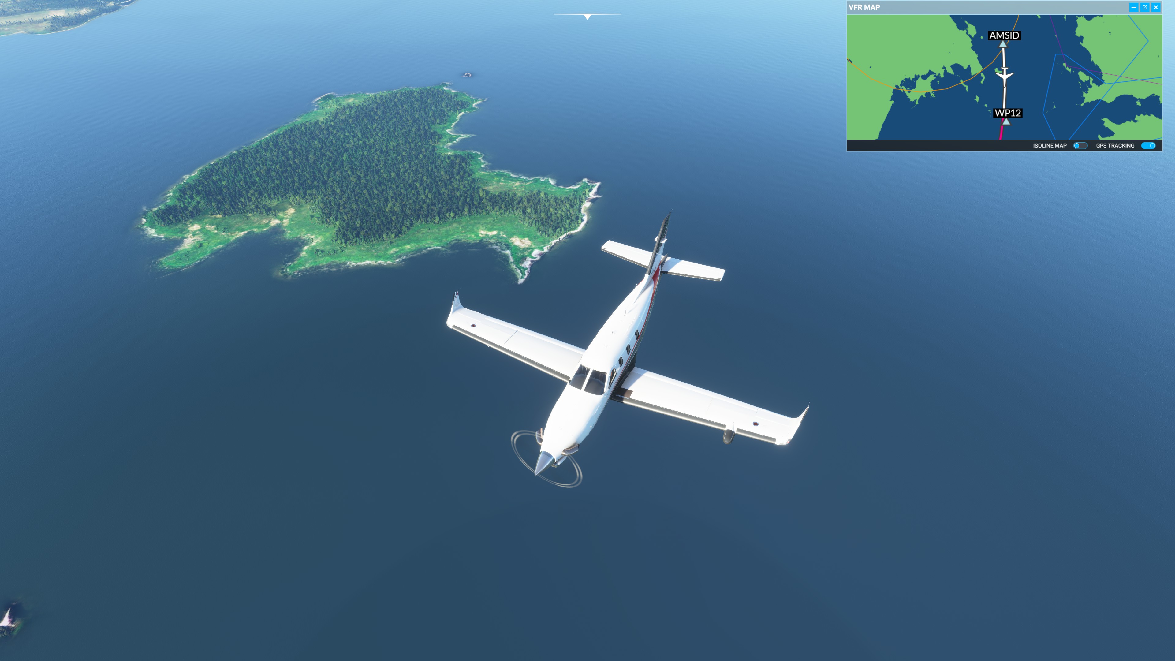
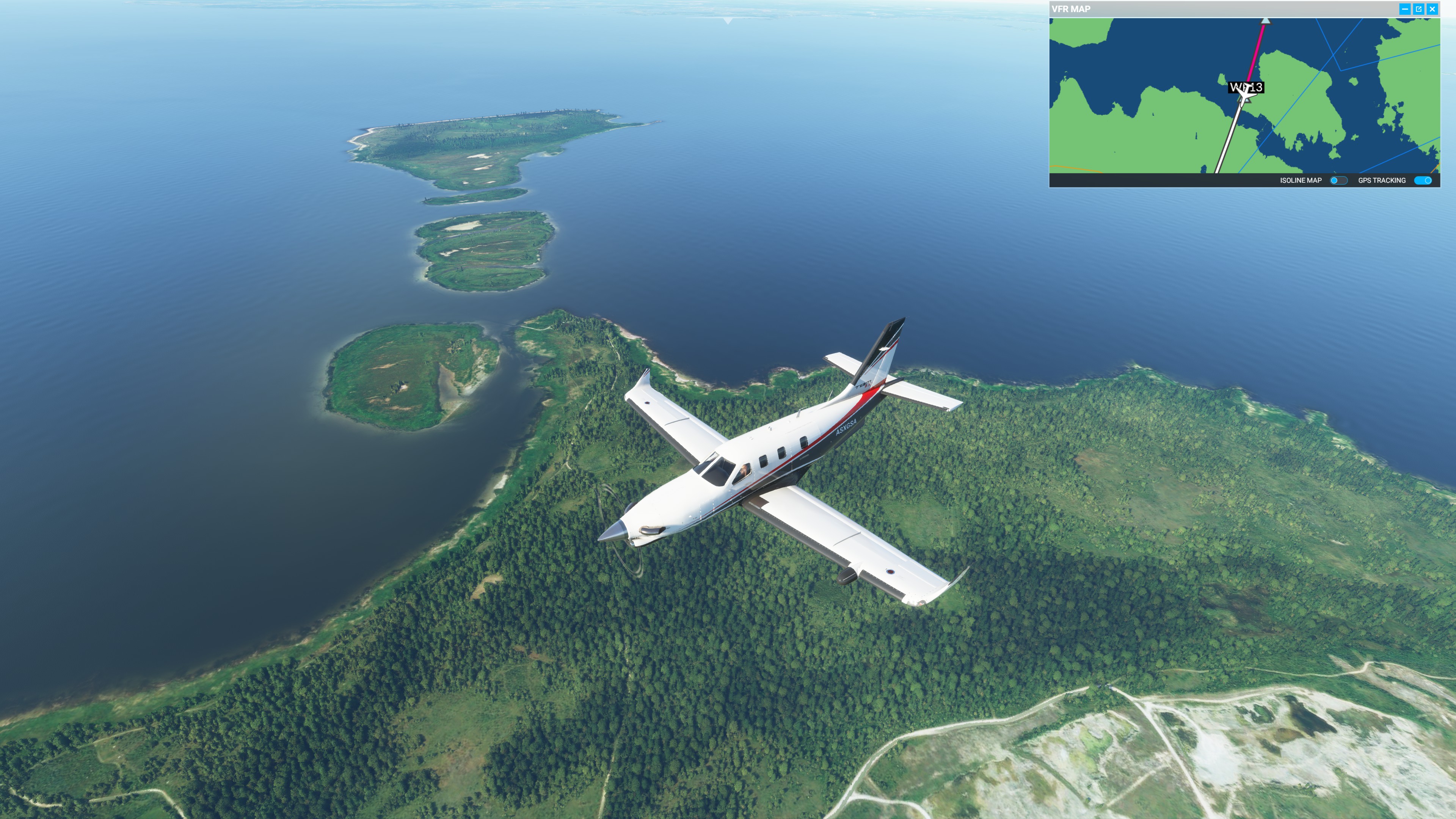
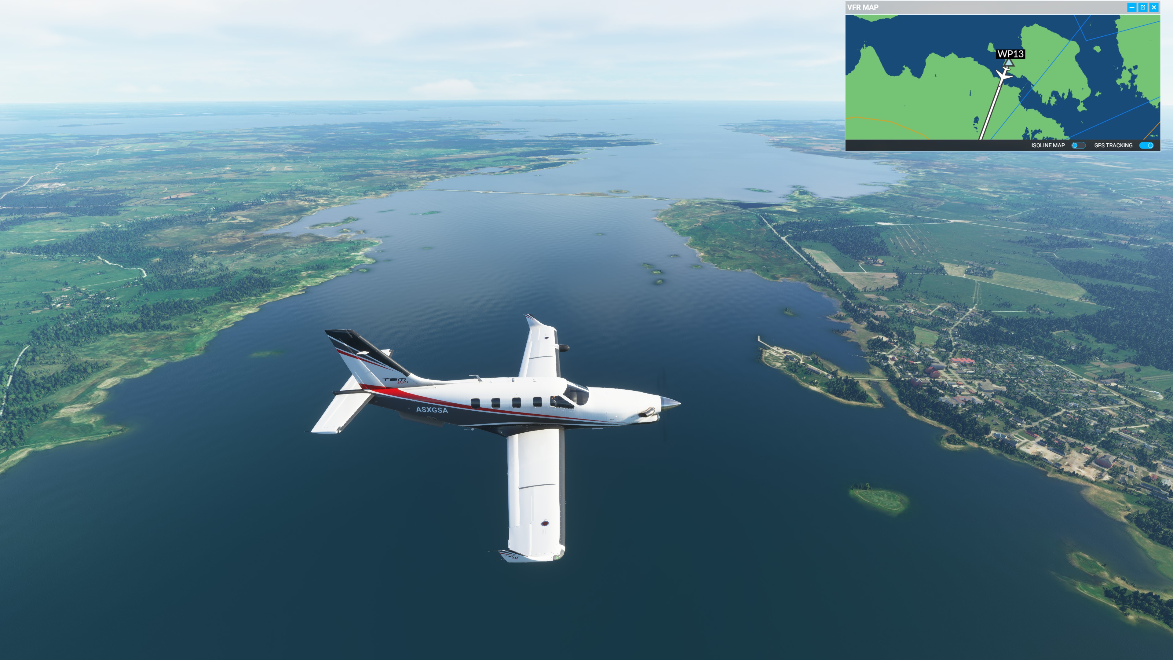
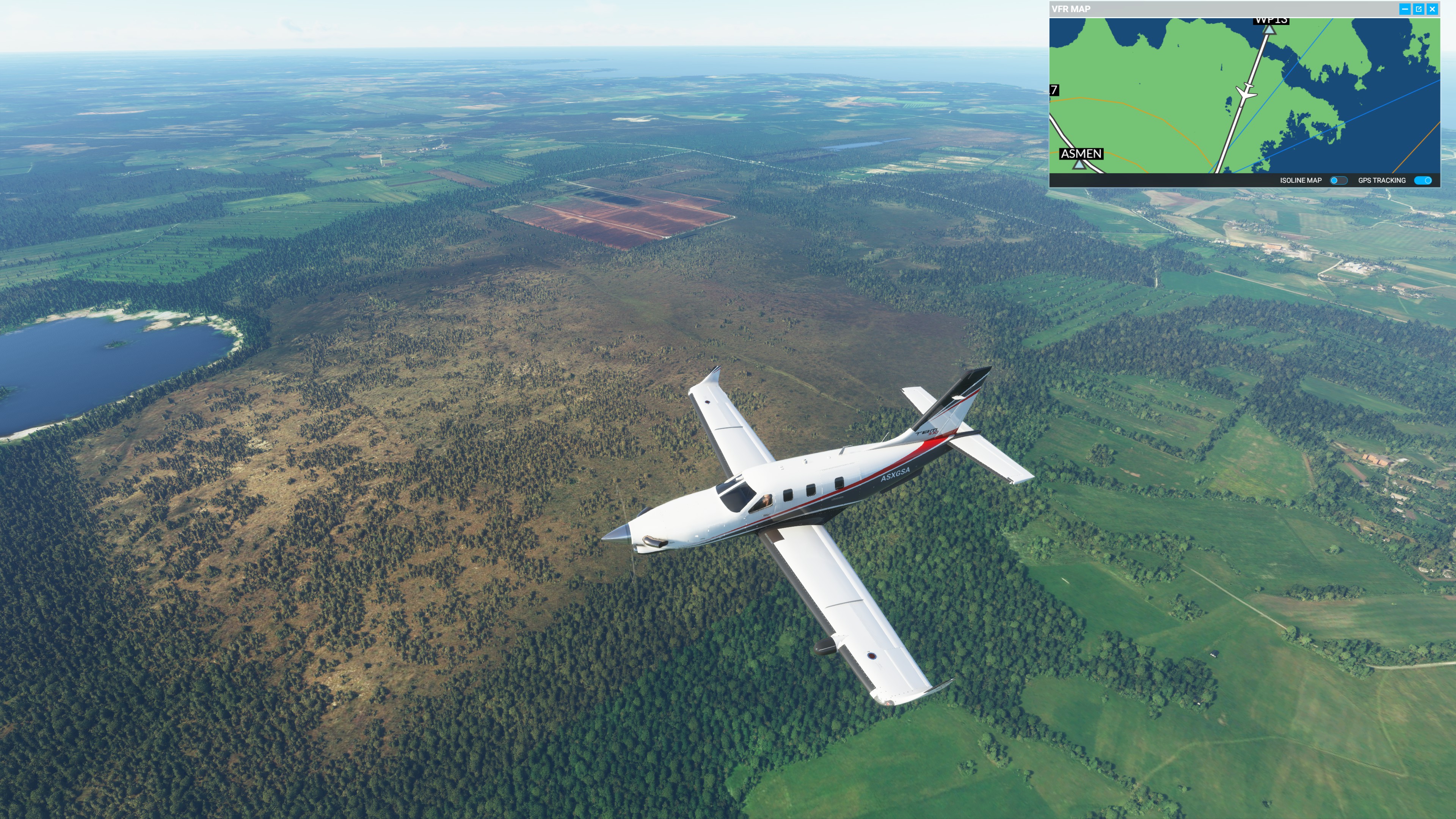
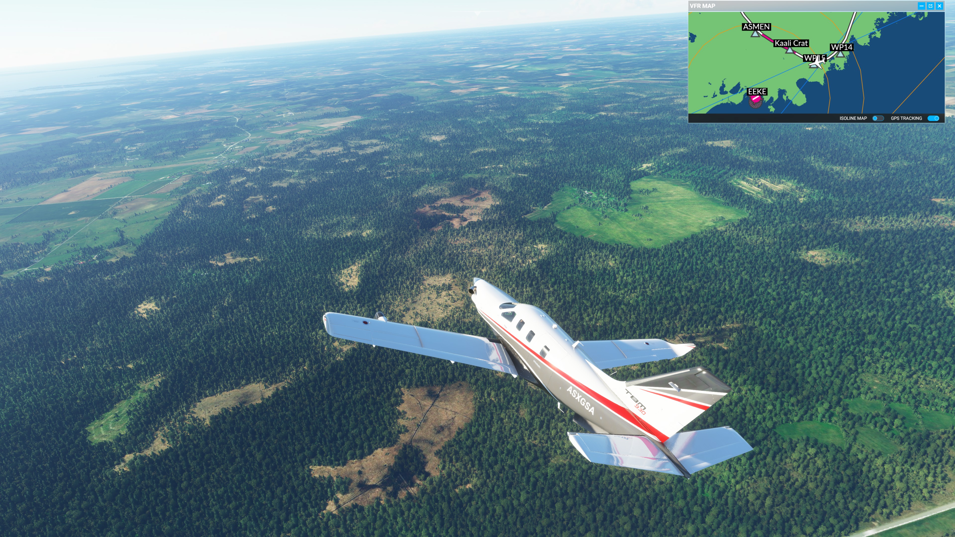
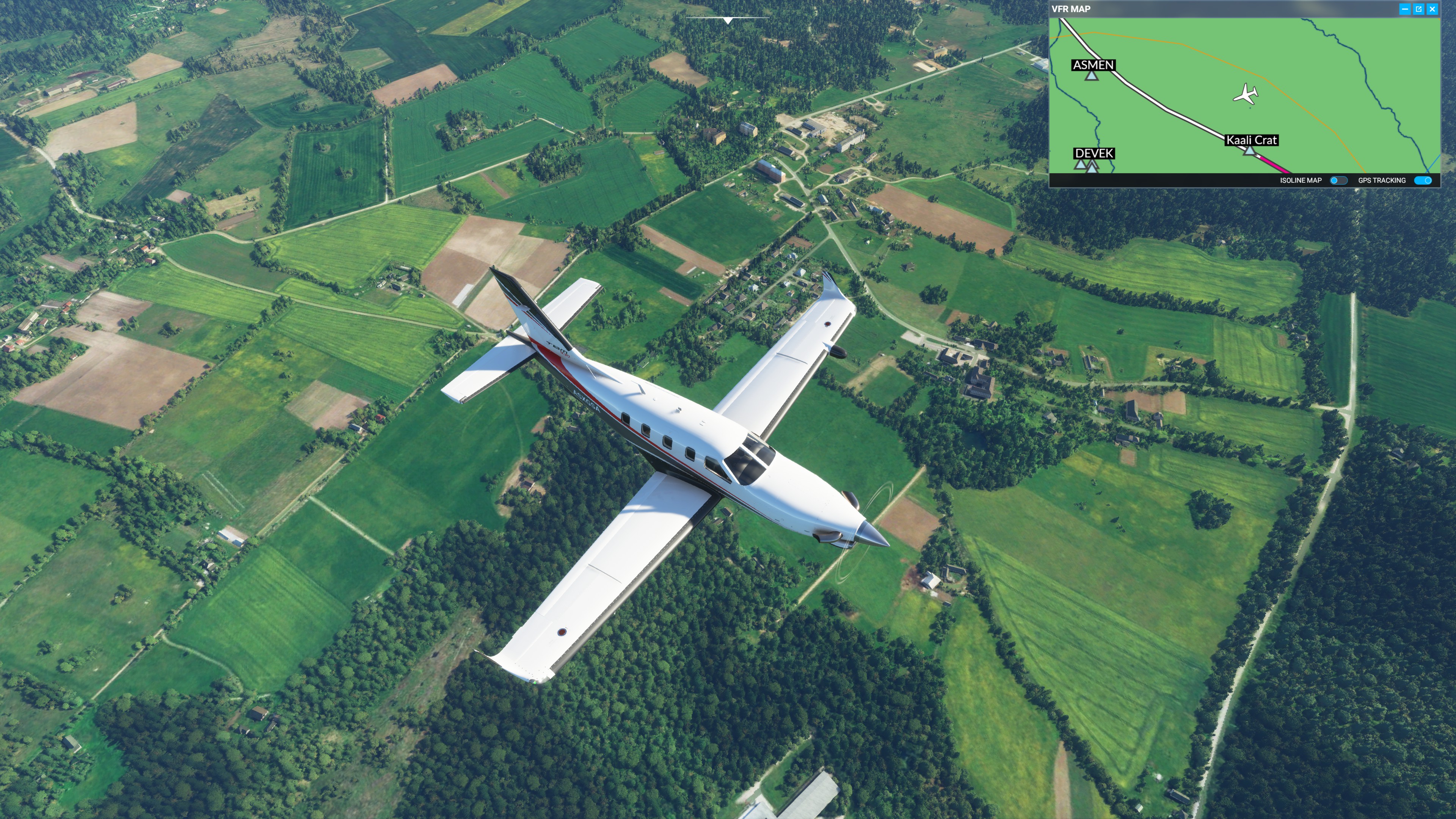
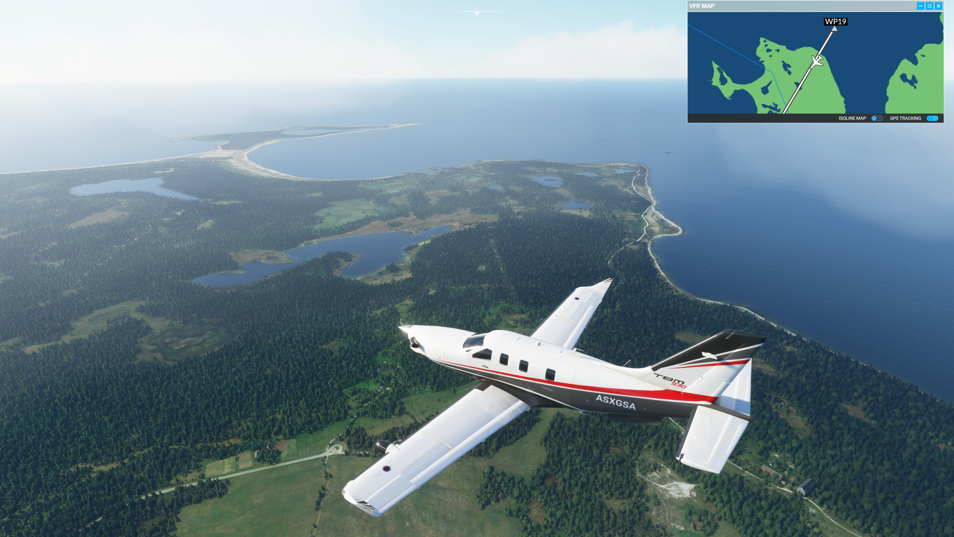
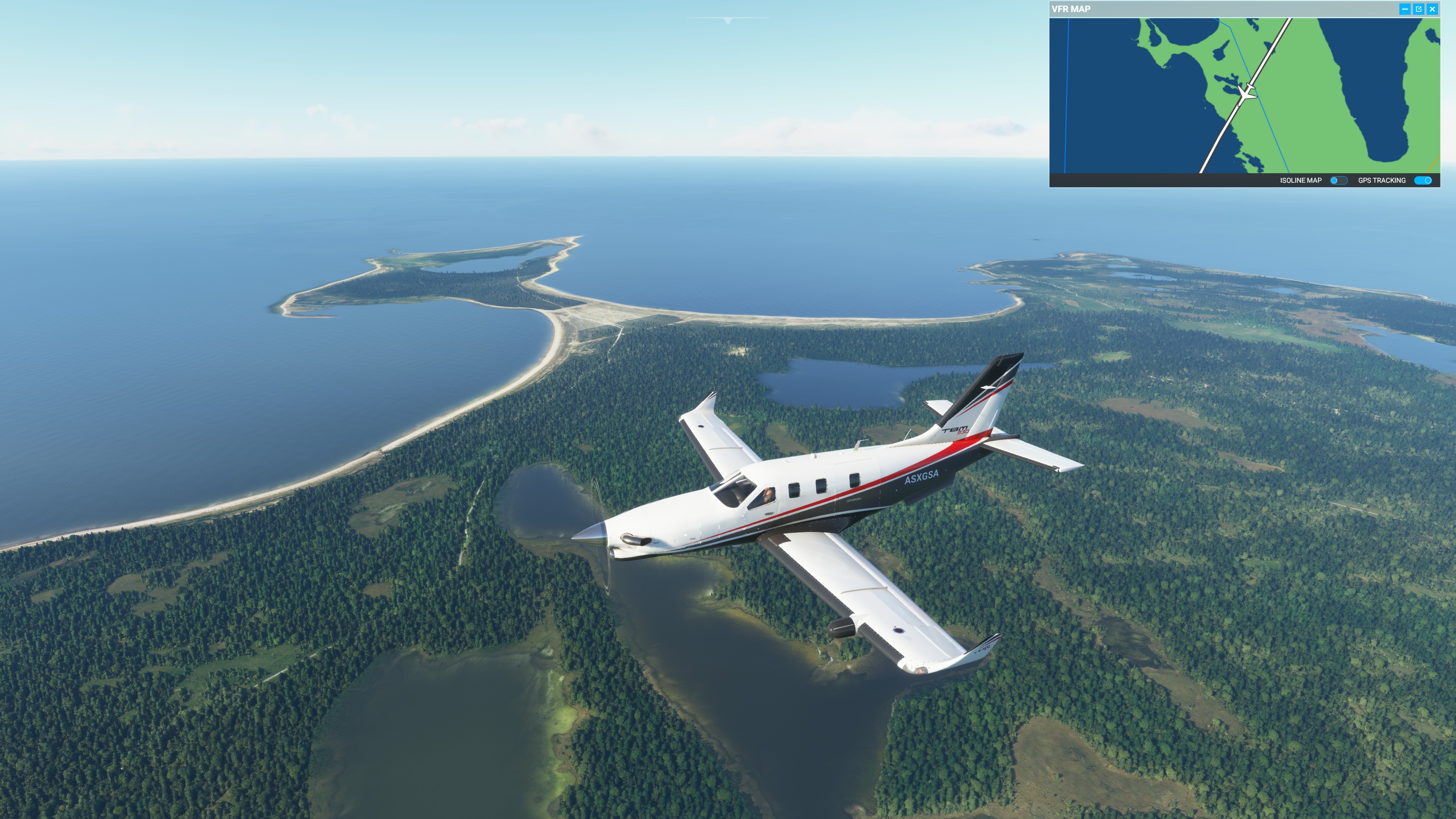
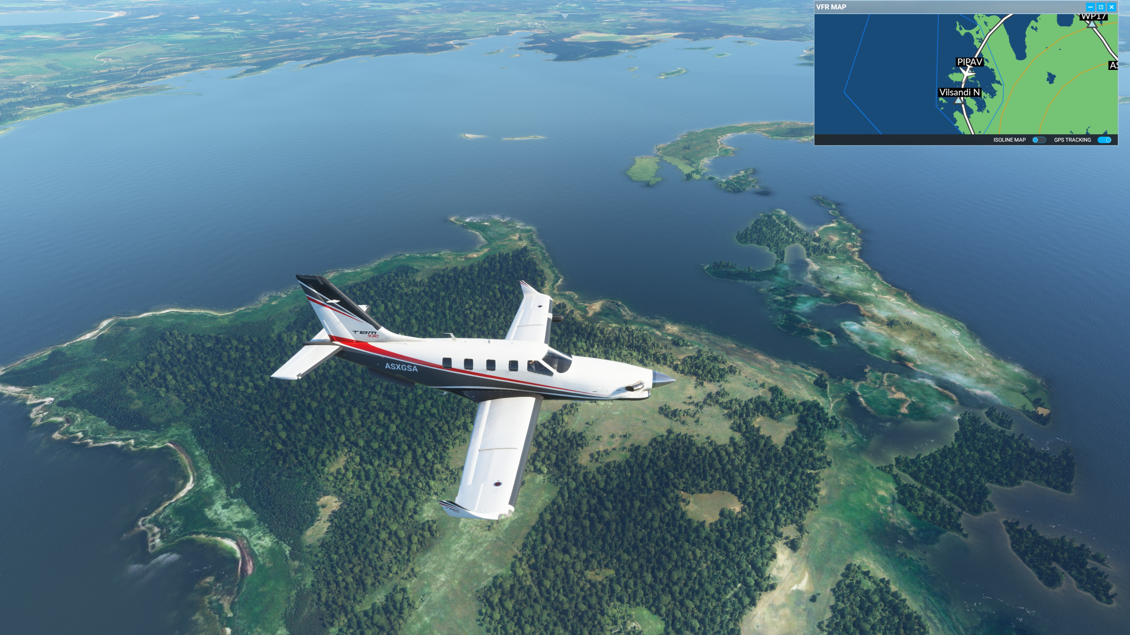
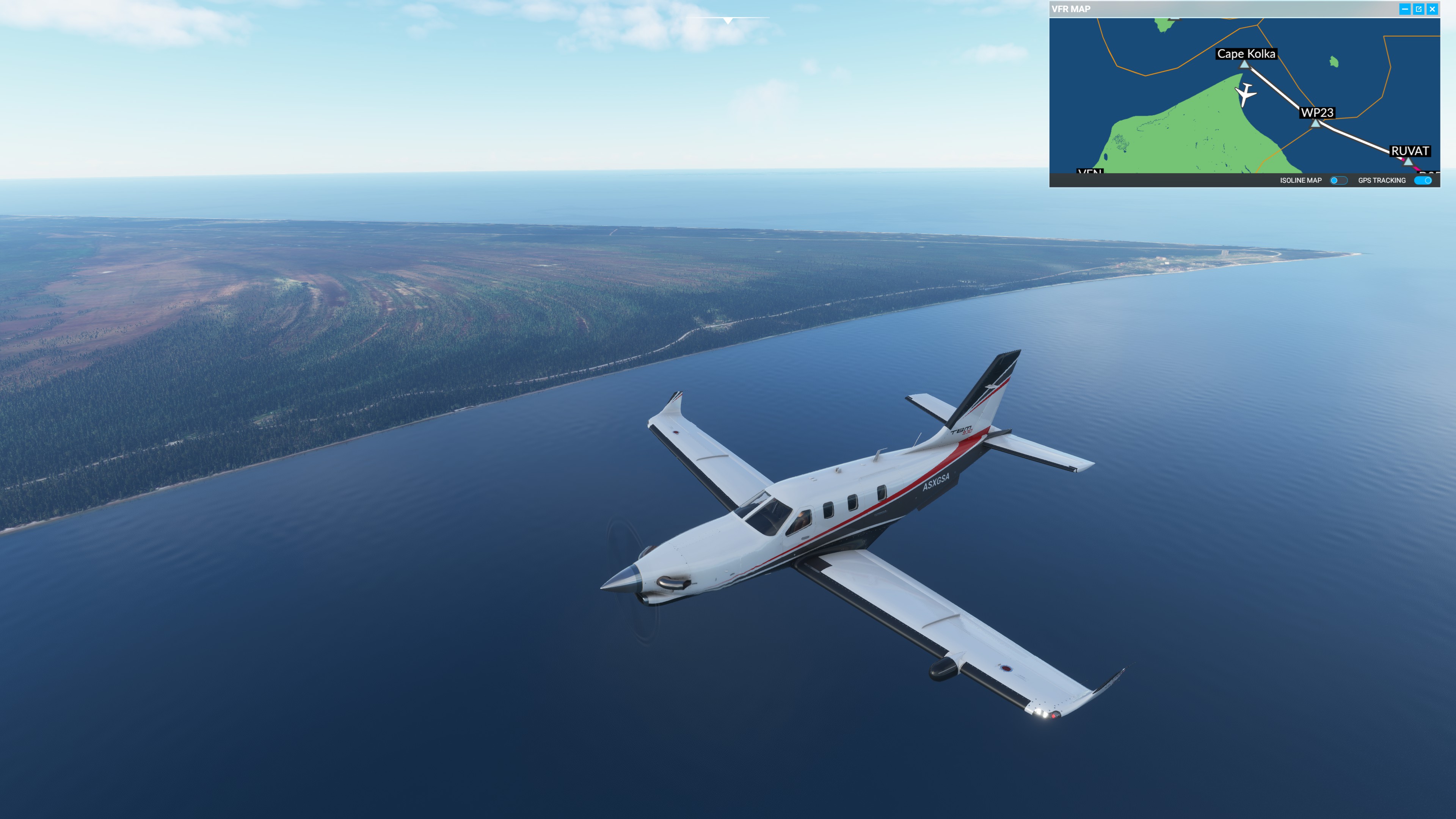
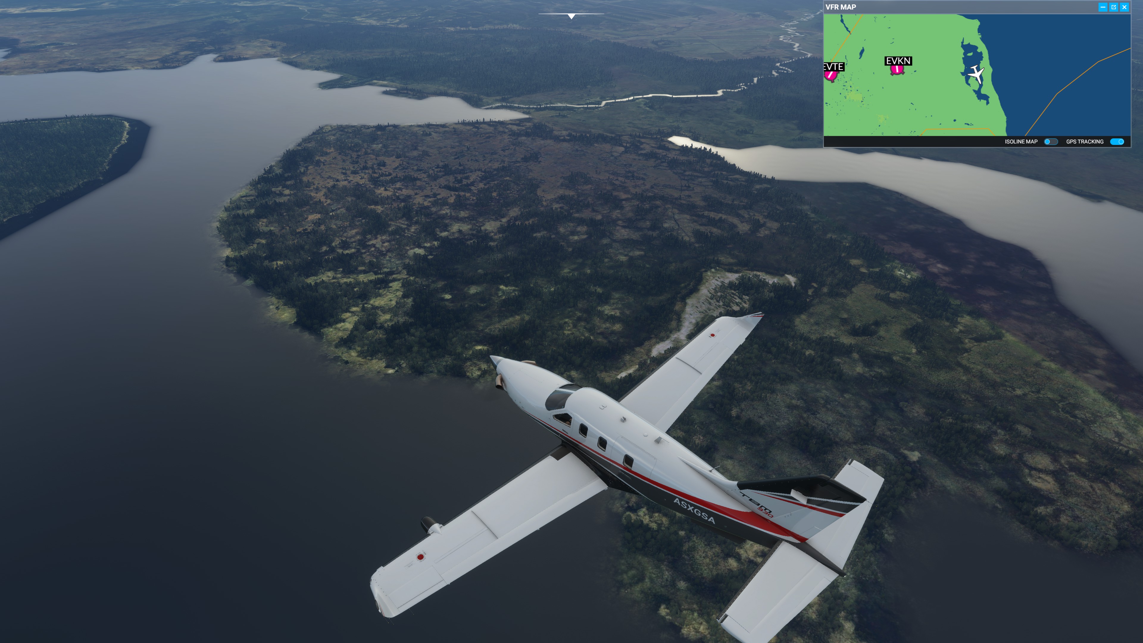
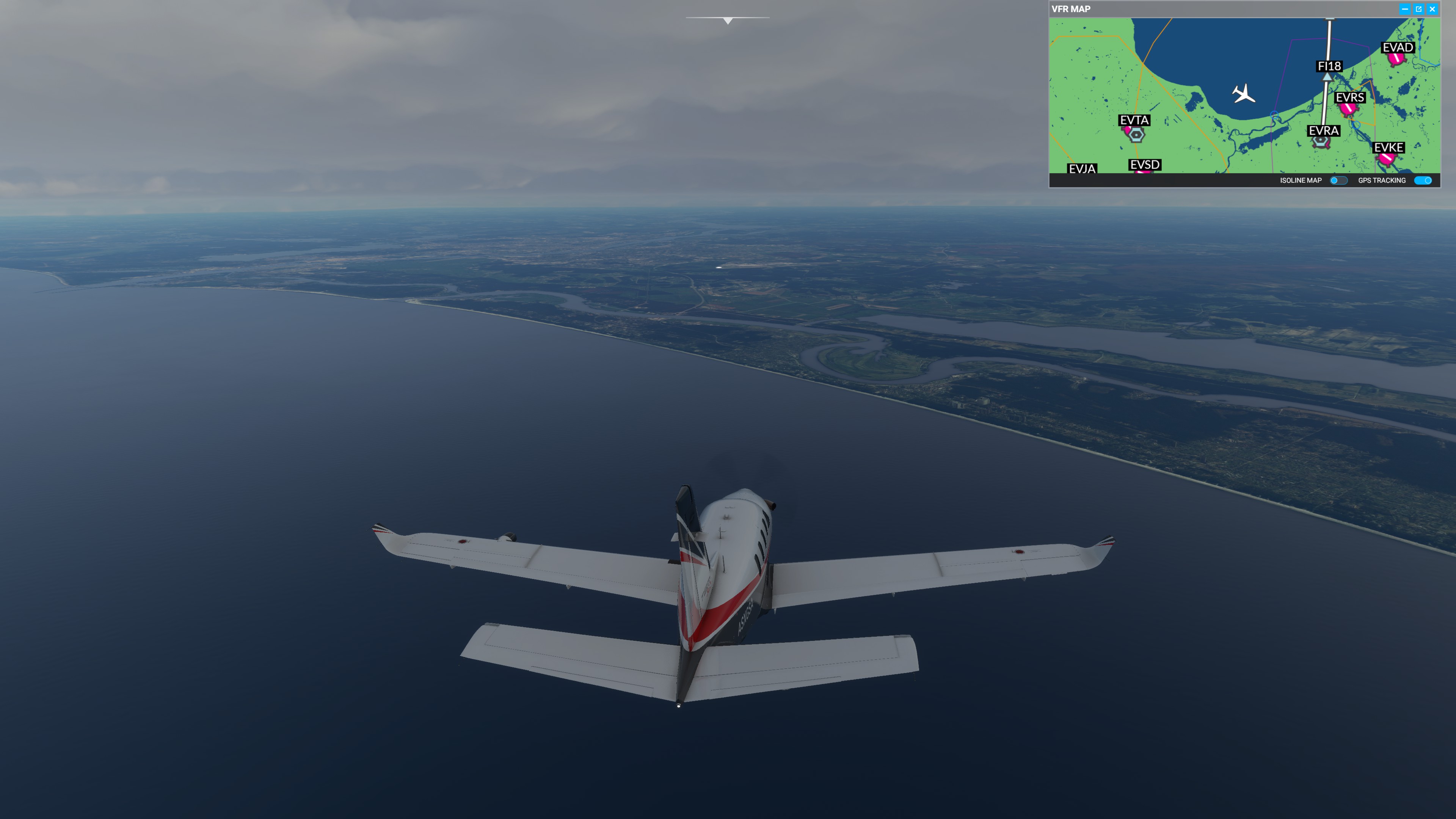
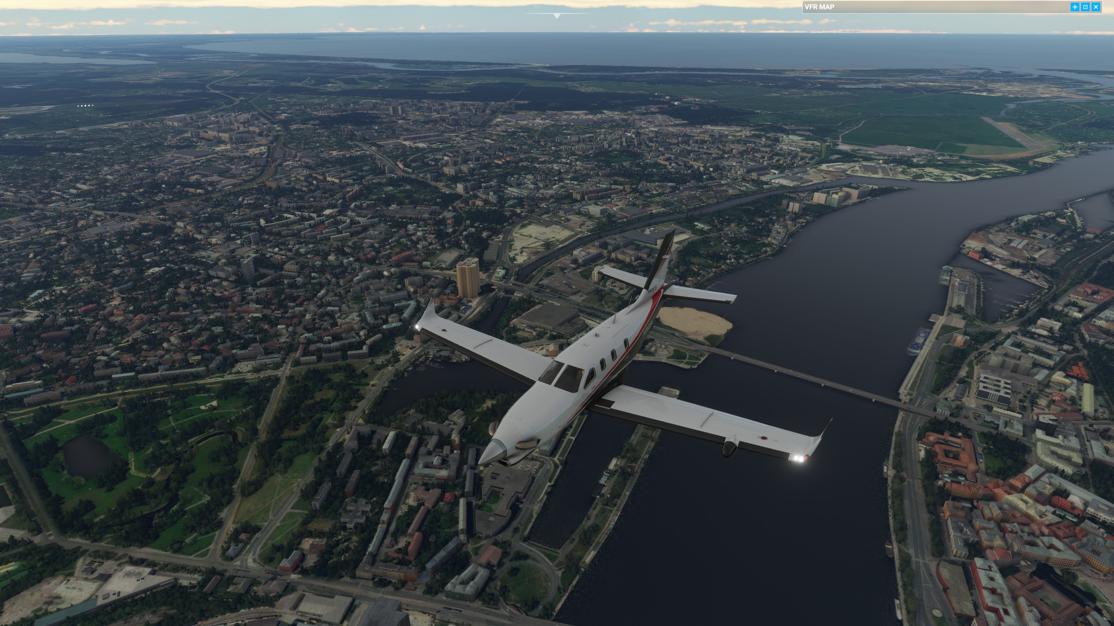
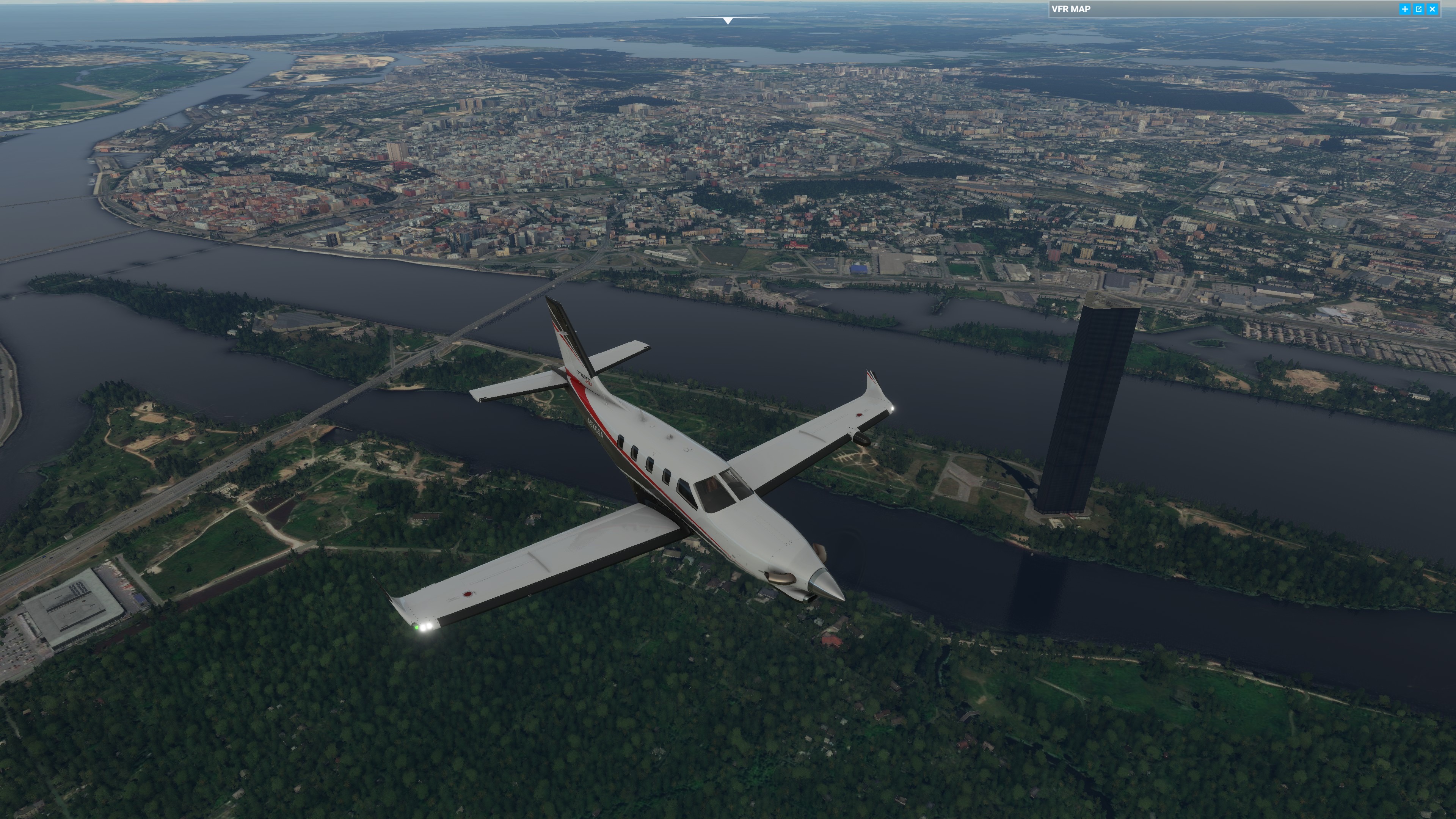
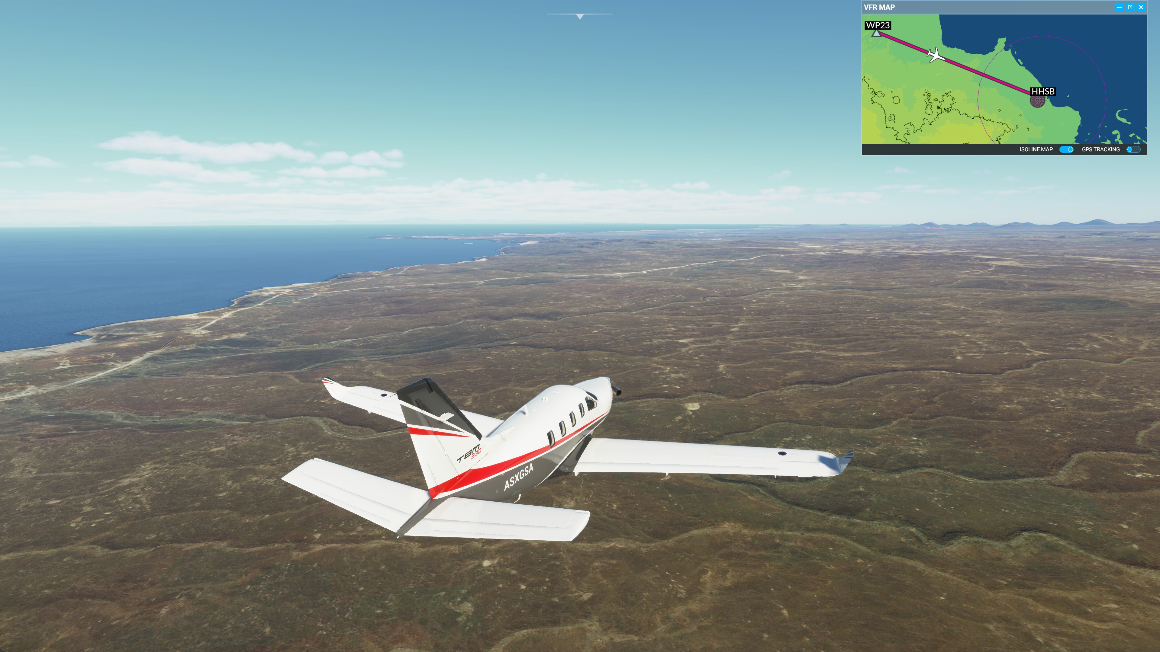
My flight plan was the following one, i departed from Helsinki, crossed the gulf of Finland into Tallin, and then followed the estonian coast to the west. I passed over some interesting islands called Vormsi, Liiva and Saaremaa, crossed the strait that divides the baltic sea with the gulf of Riga, and followed the coast to land on Riga. It was 320 NM long.
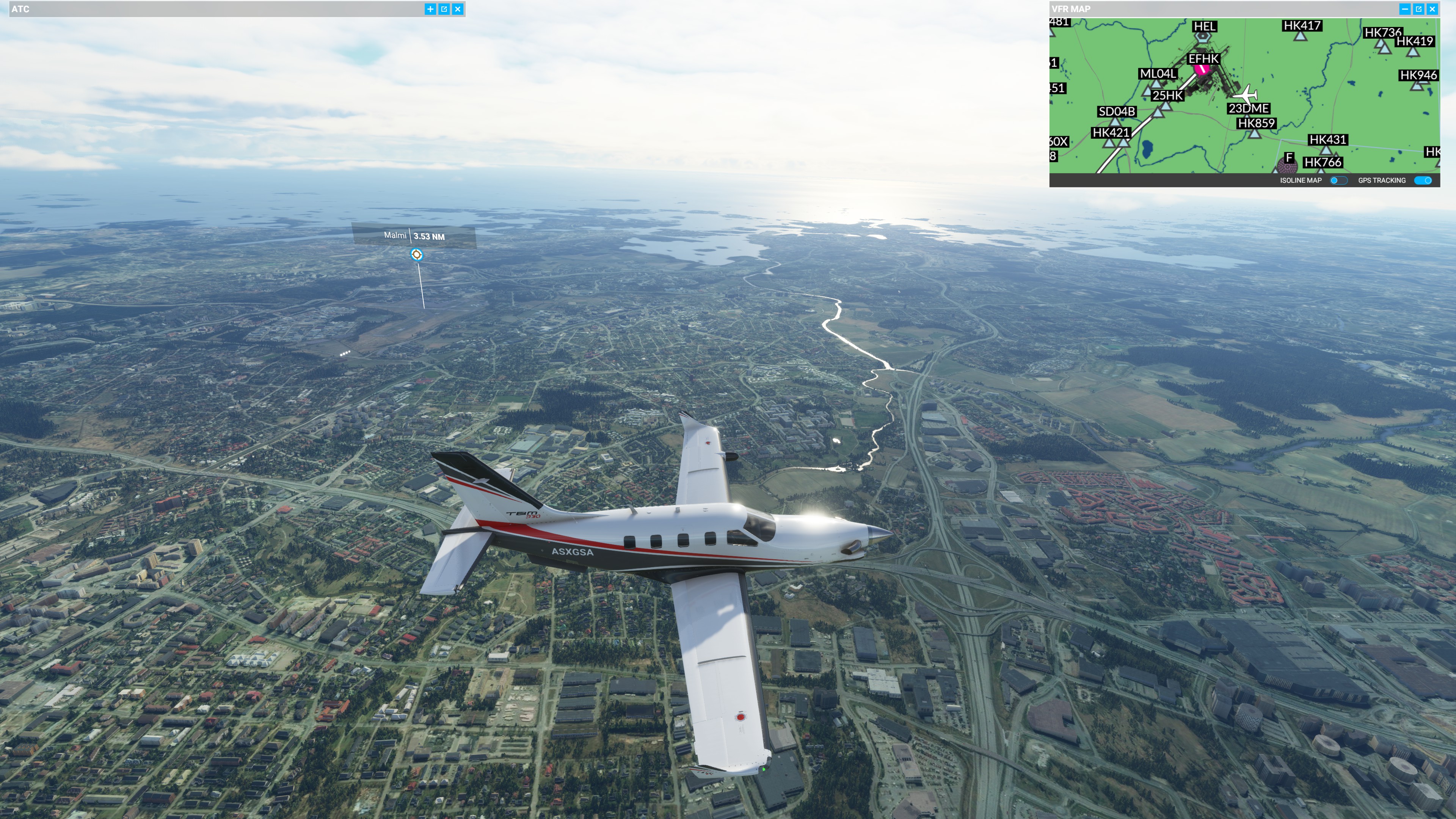
Departure from Helsinki:
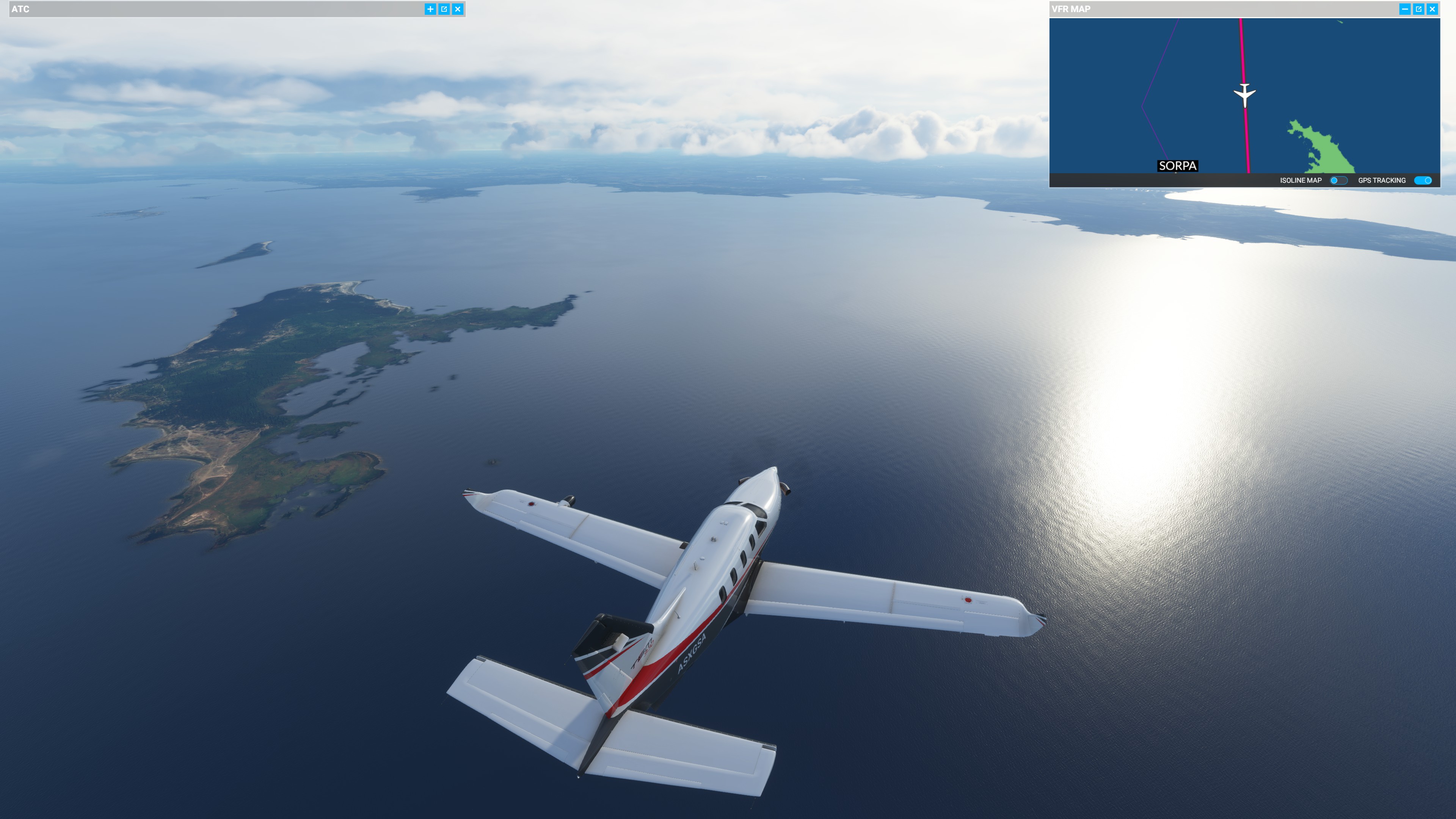
Crossing the gulf of Finland. Prangli island to the left:
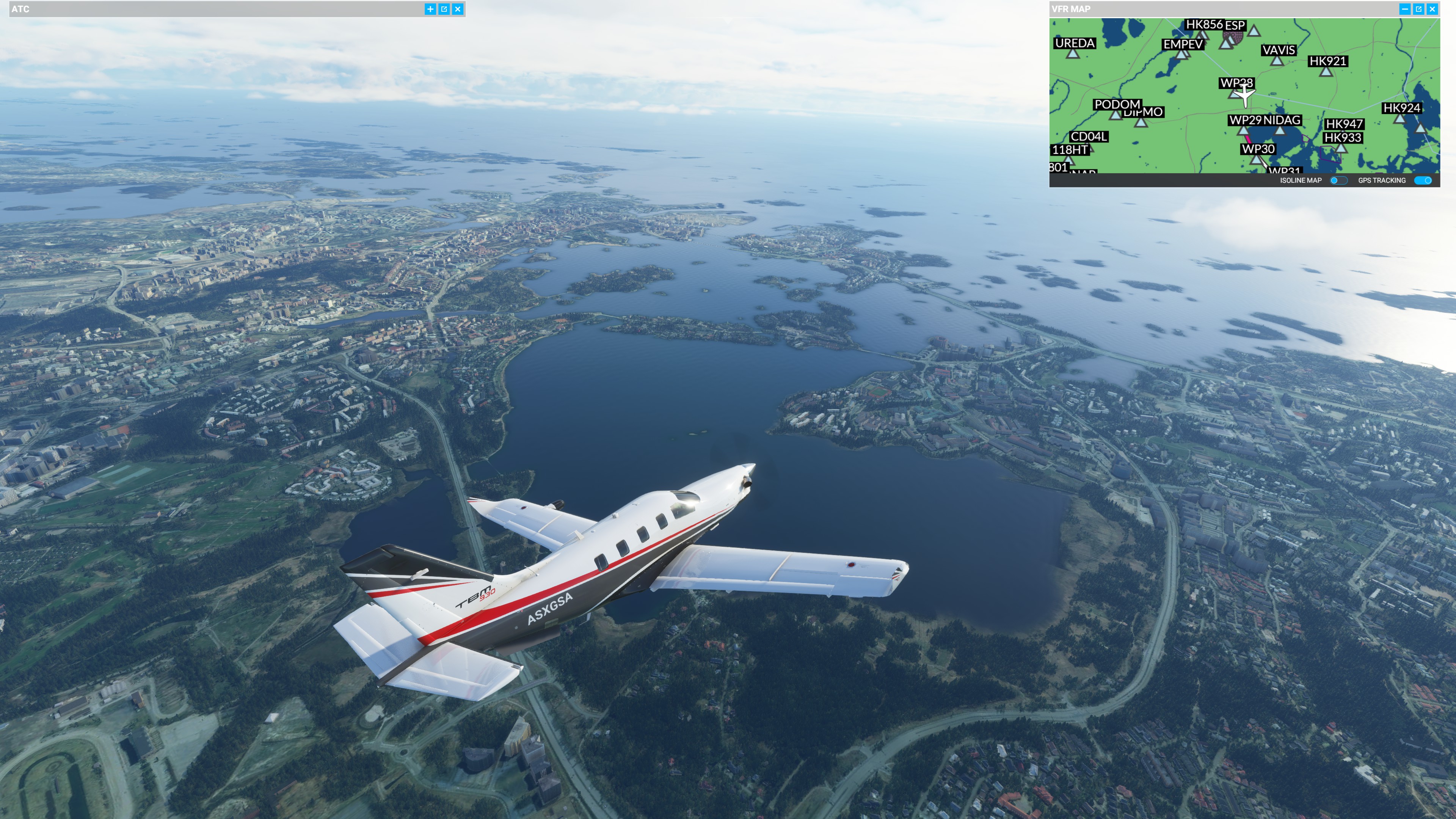
Tallinn City:
Nice shot of the Pakri Wind Park
Beautiful scenery into the islands:
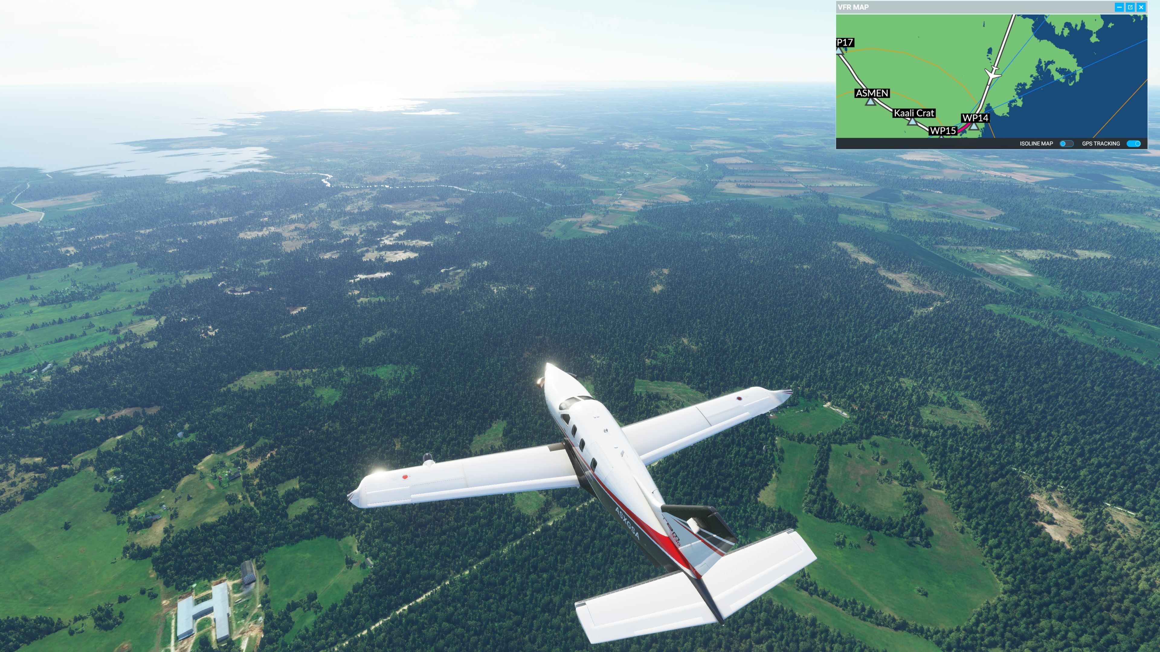
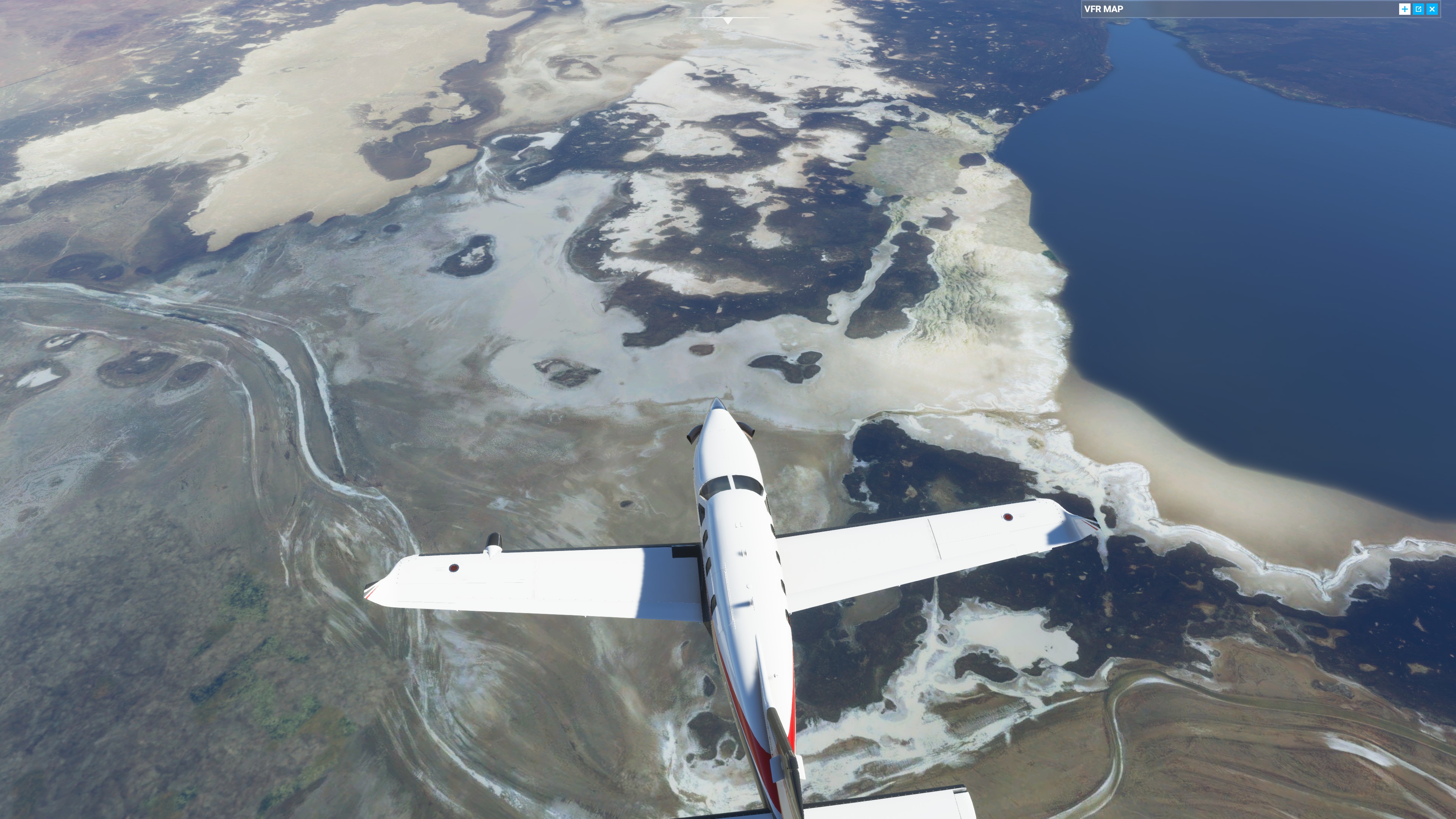
I also passed over Kaali Crater, a crater formed by a meteor impact some 3500 years ago. It looks pretty much how it should look irl. It’s hidden between the trees to the right of the plane:
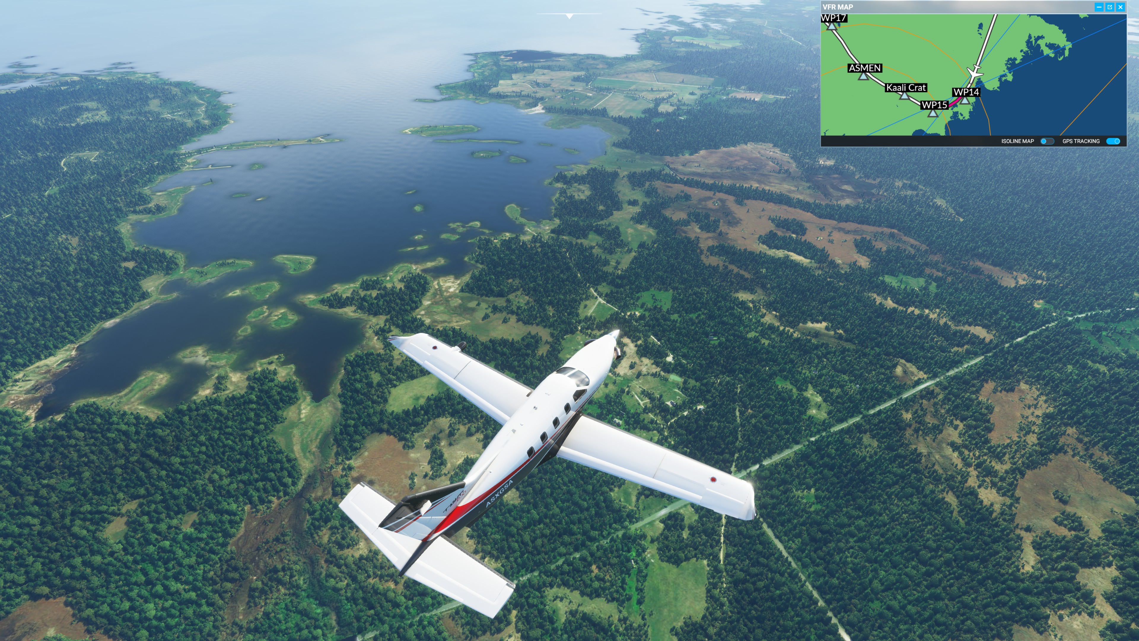
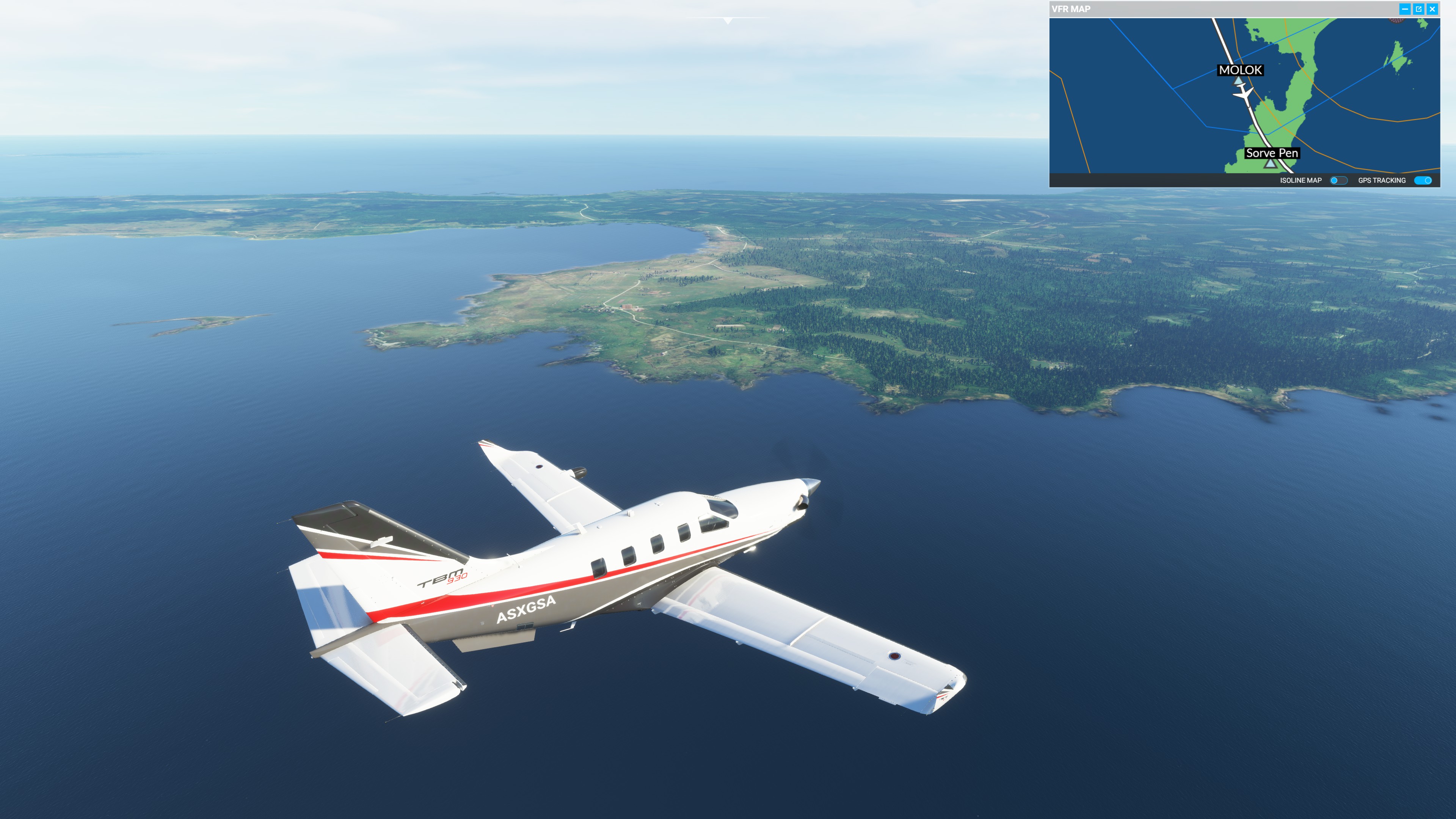
Some more beautiful scenery before reaching the strait:
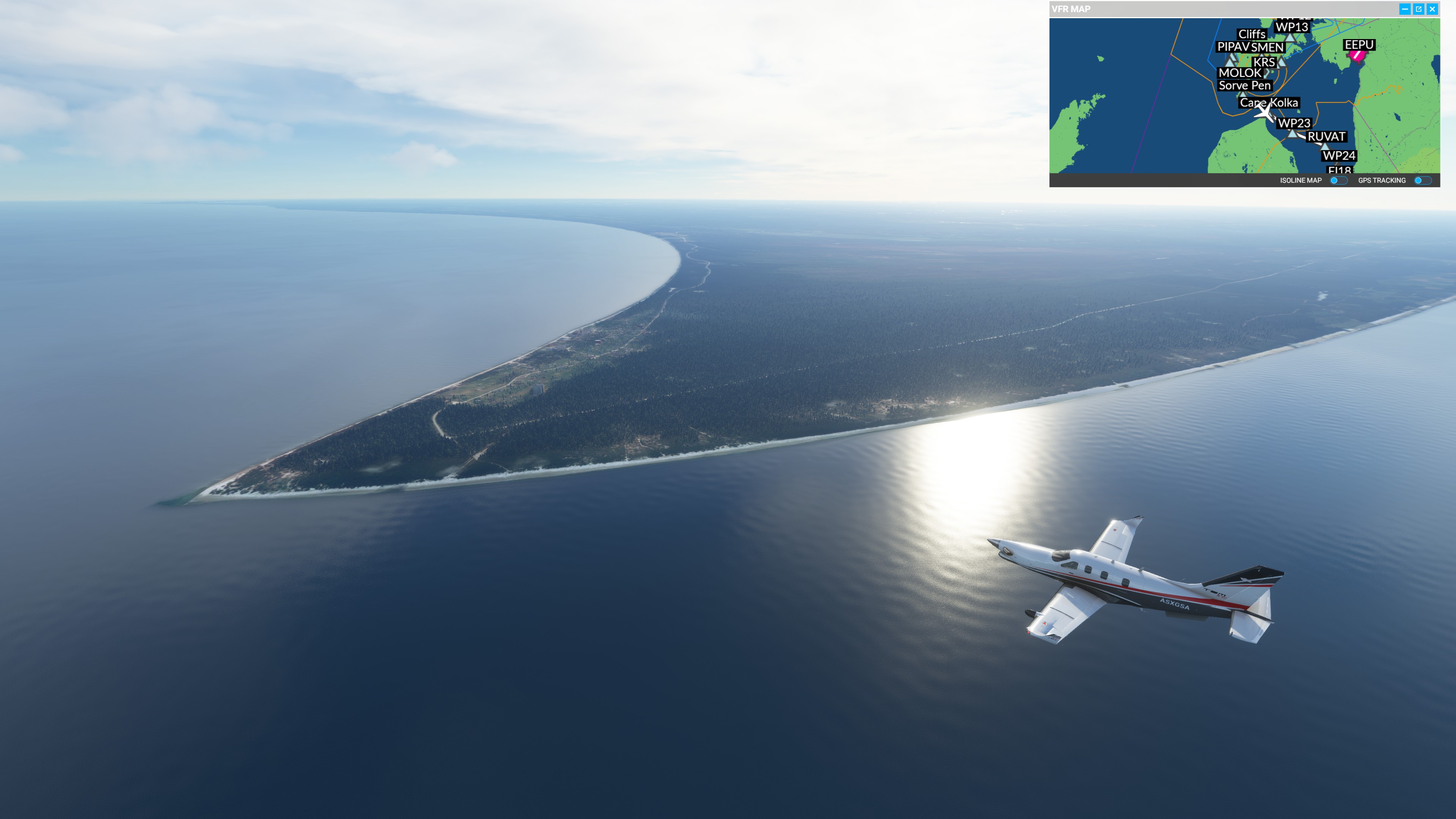
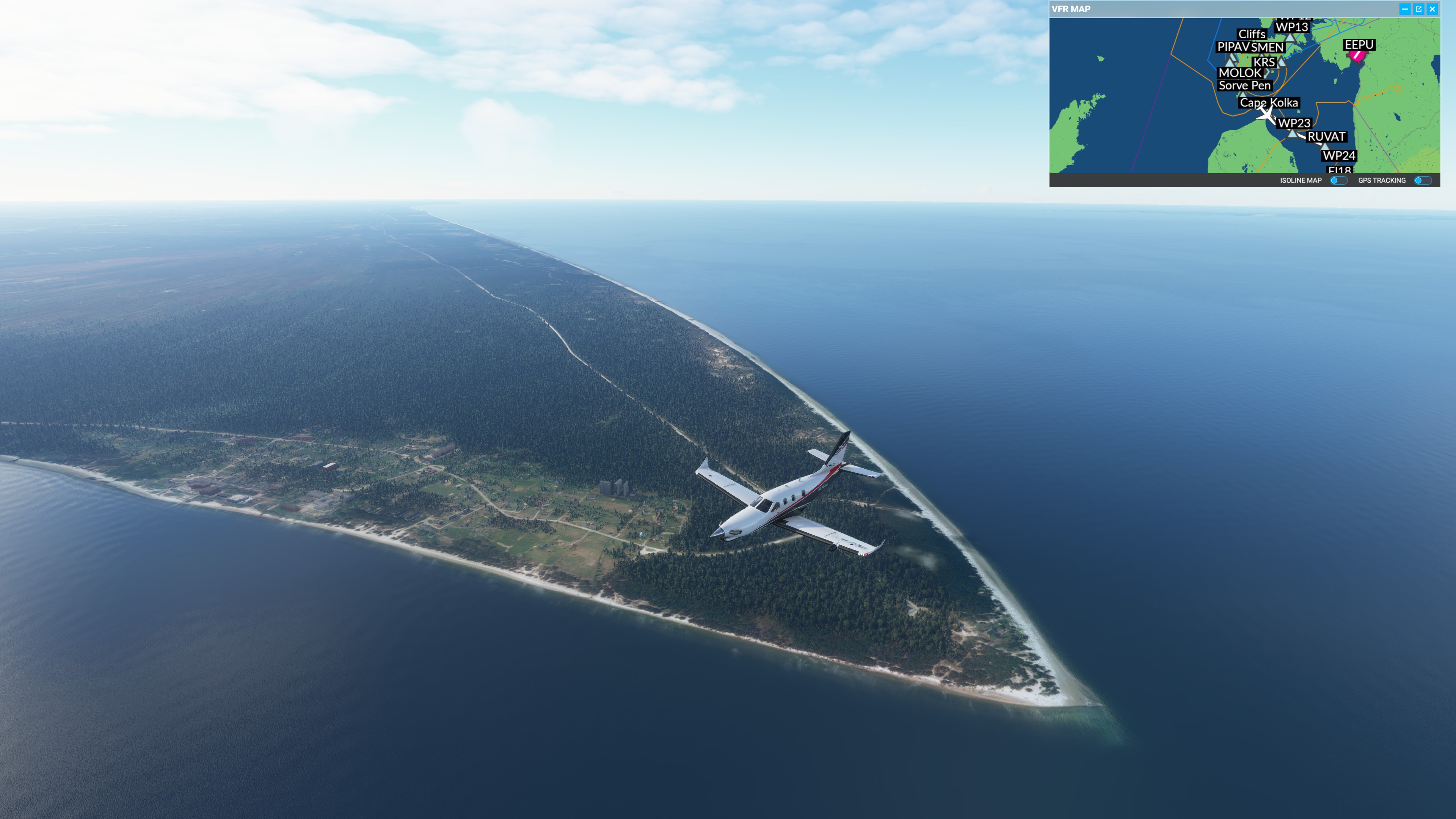
at the other side of the straight we found ourselves over Latvia, and there’s a pretty nice formation called Cape Kolka:
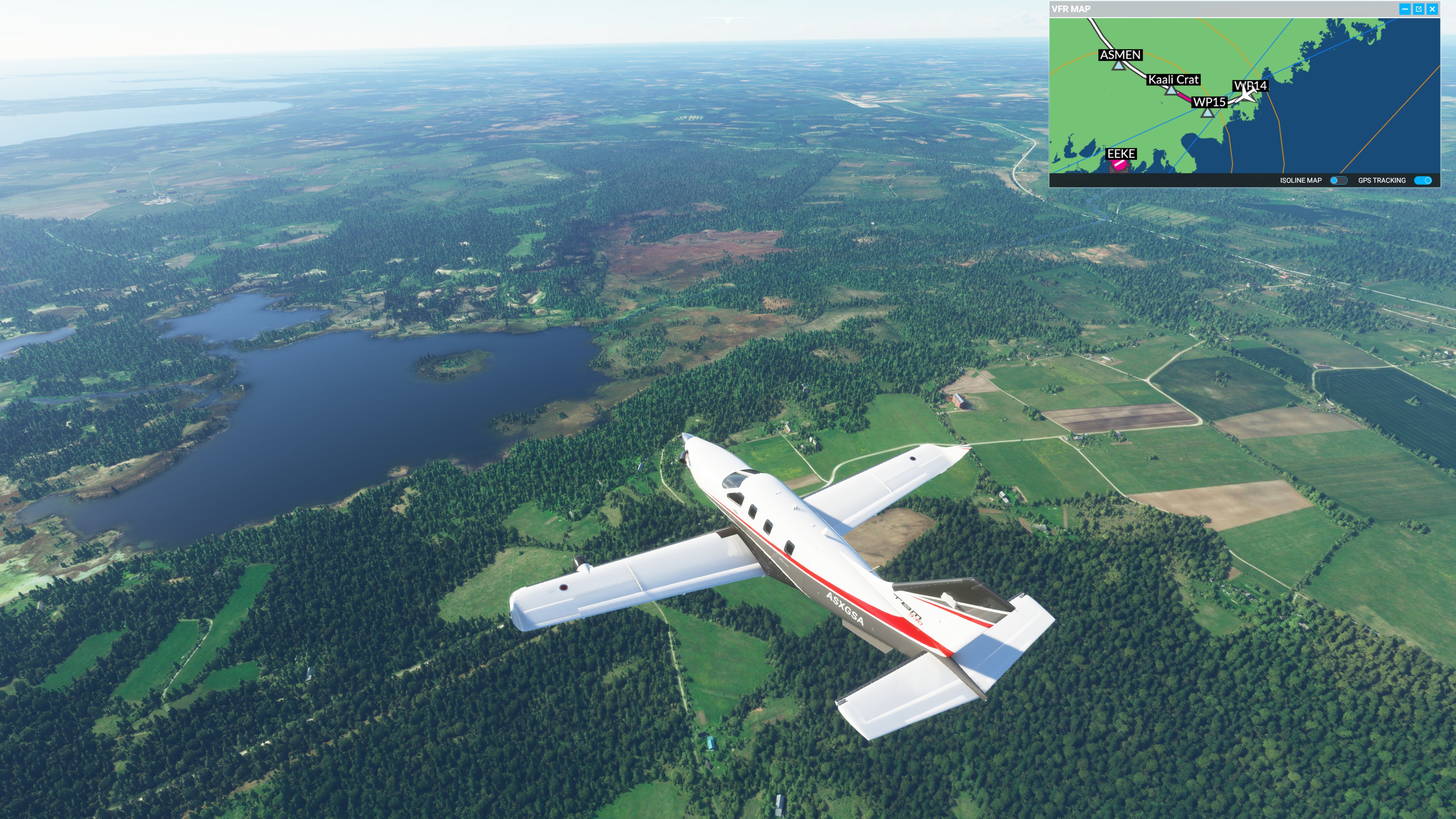
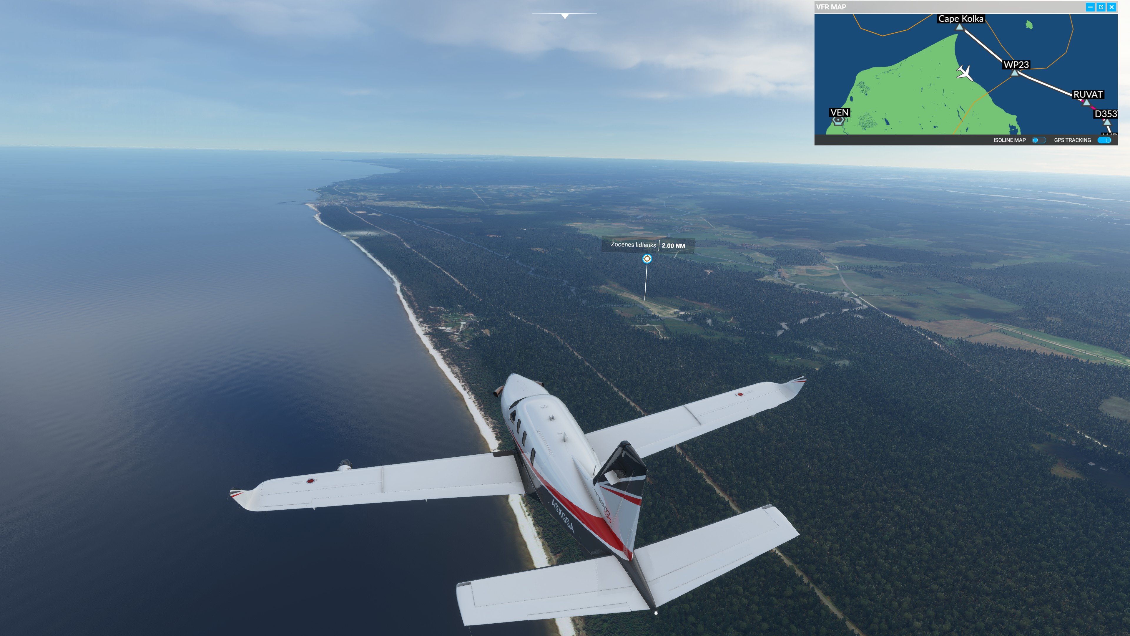
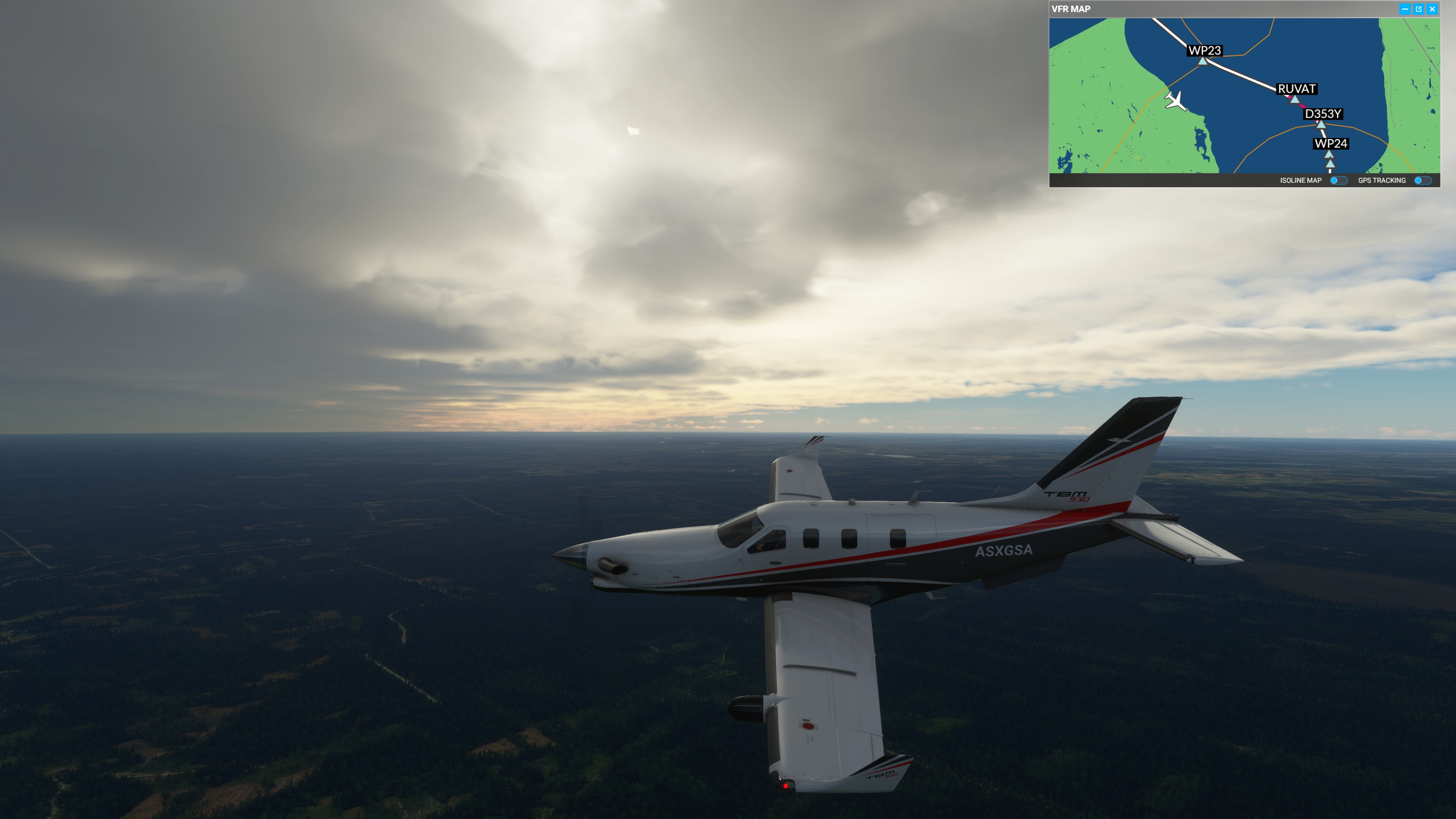
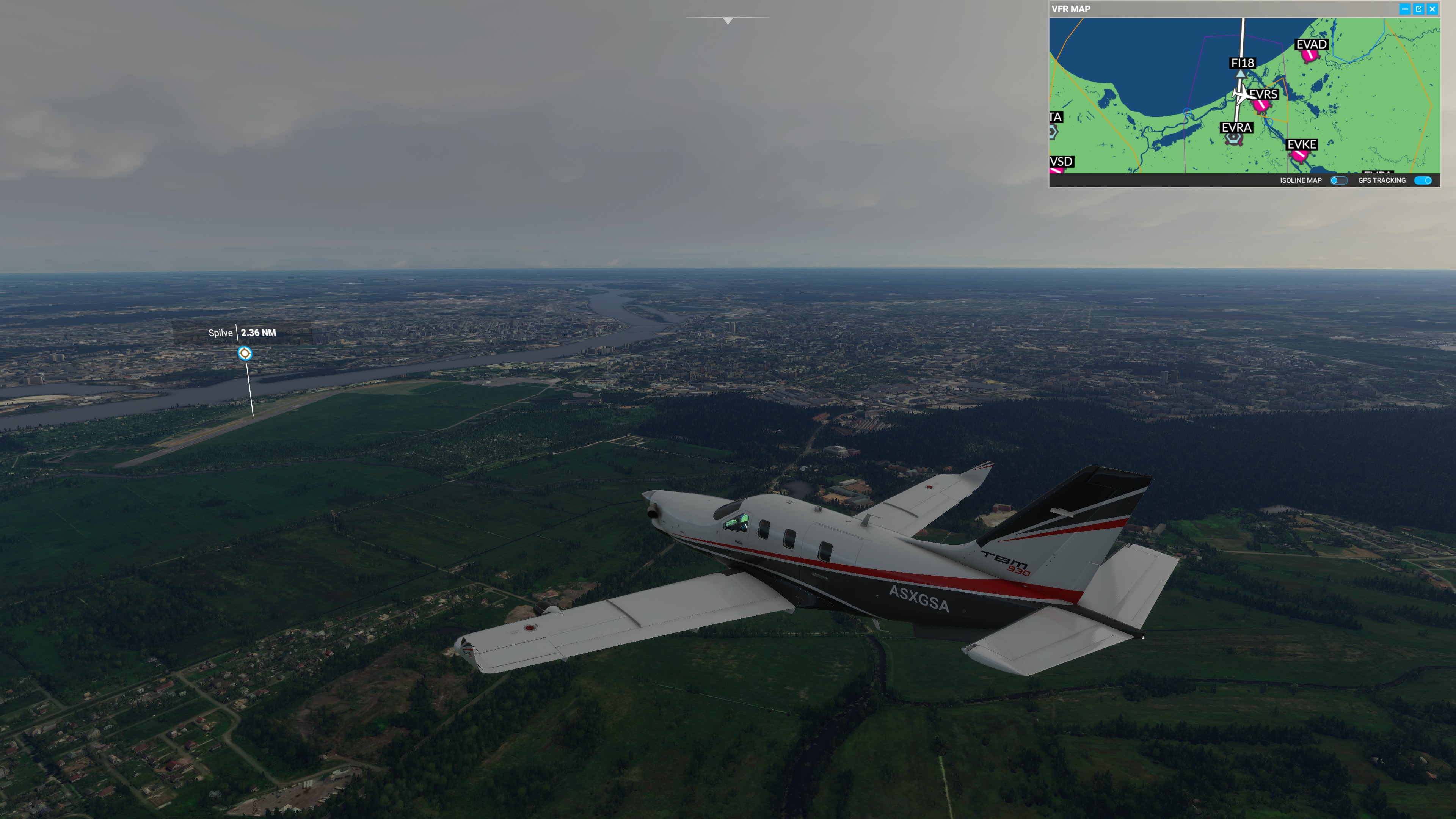
Then i deviated a little bit from the original plan in order to follow the coast until reaching Riga:
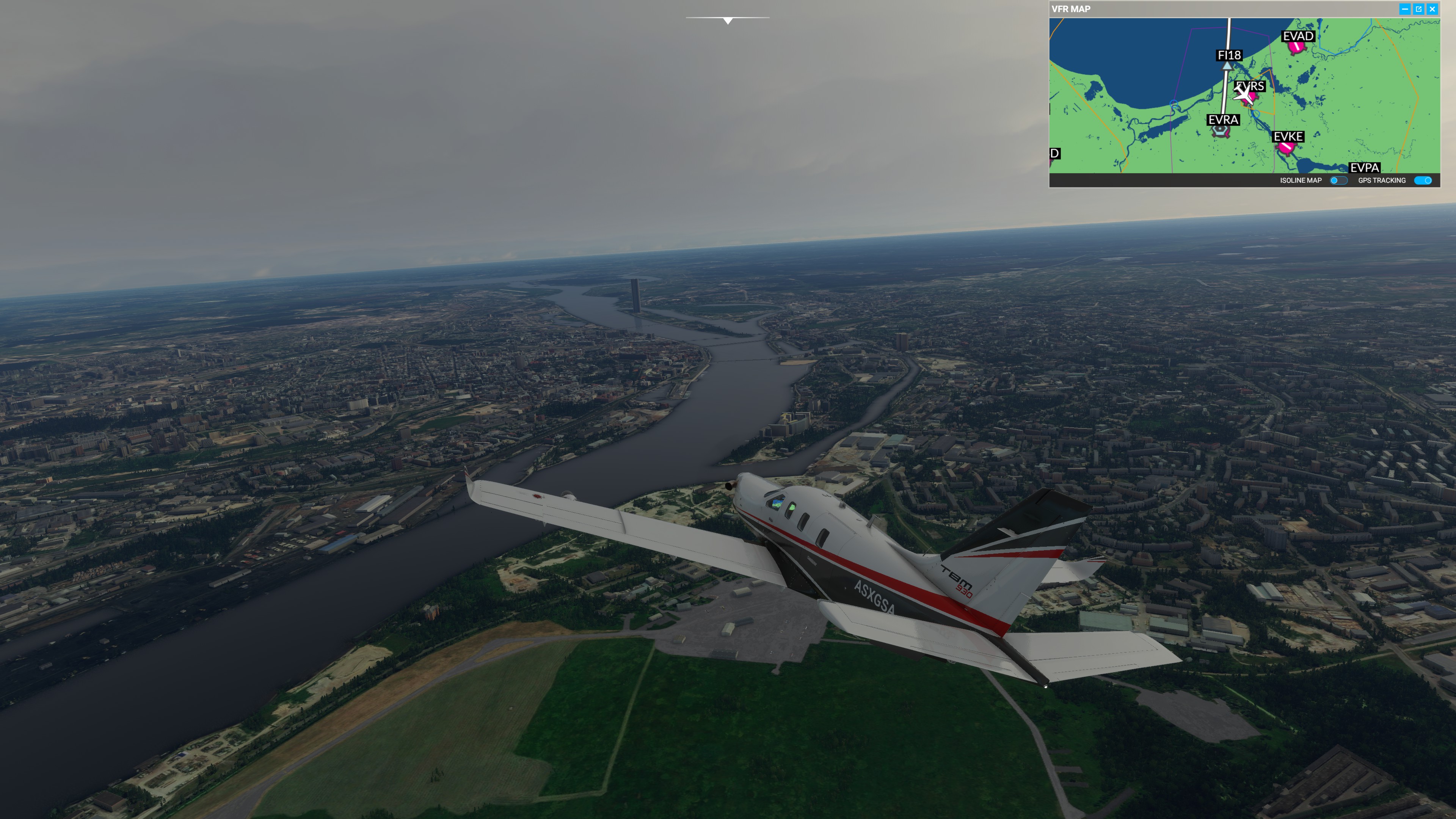
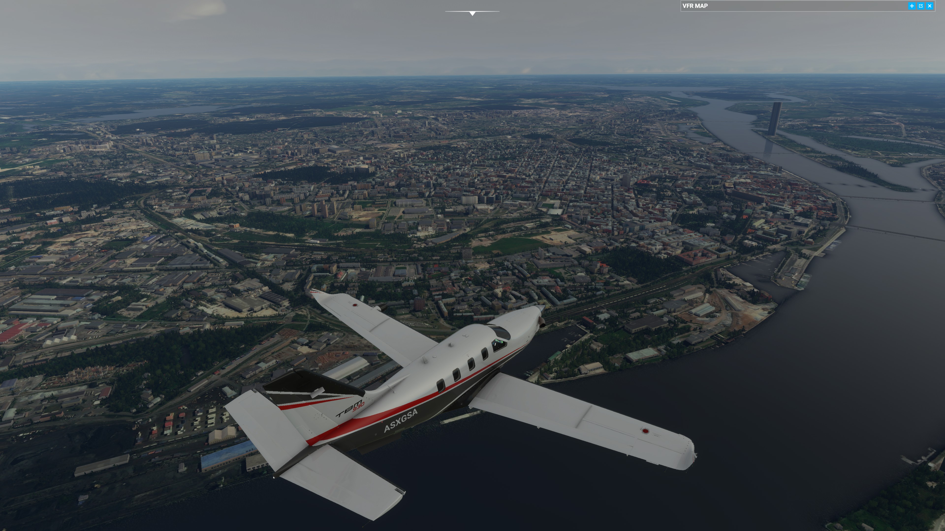
Reaching Riga city, capital of Latvia:
I noticed this building is wrong, there’s another thing over that spot:
This should be it:
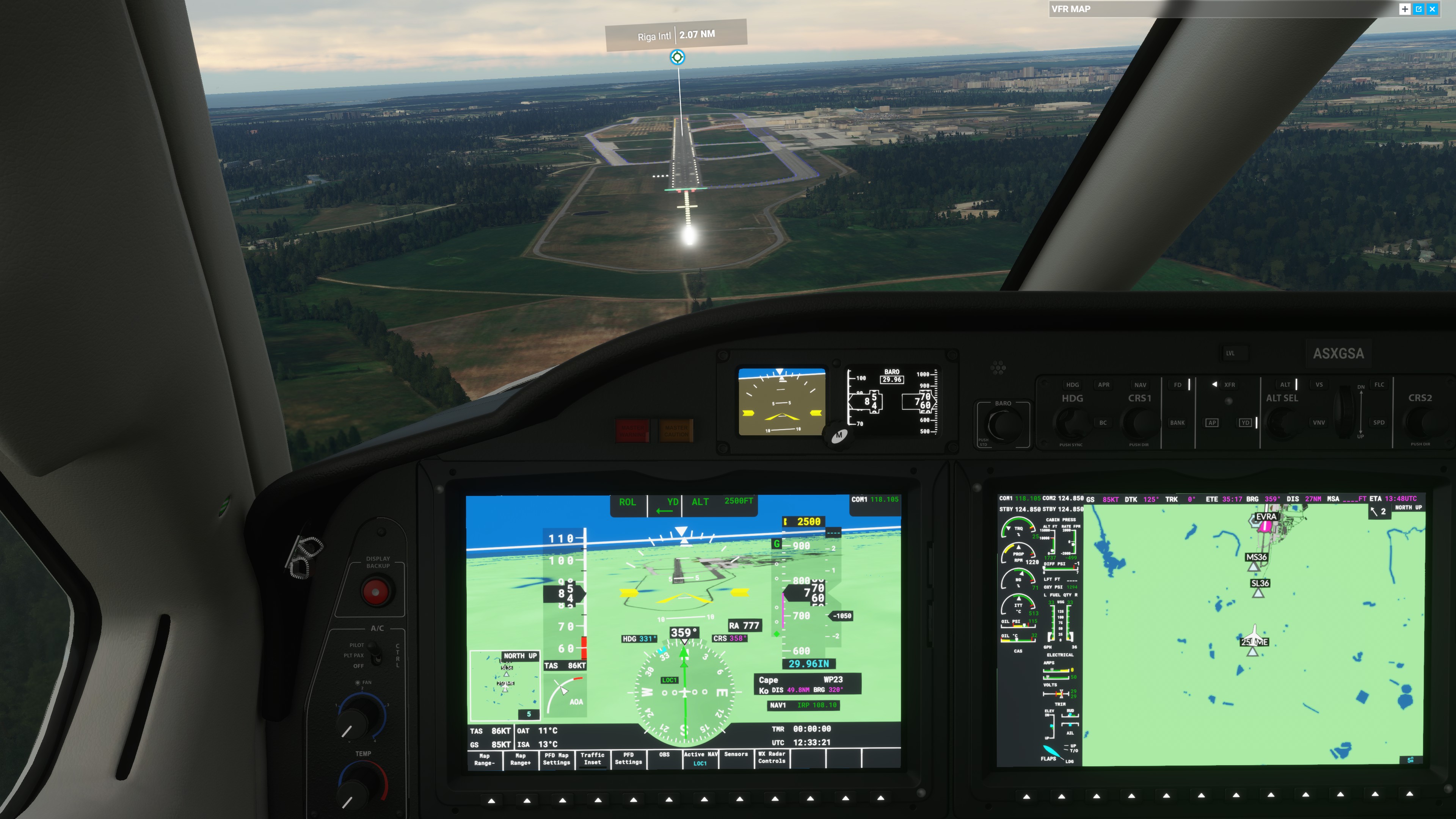
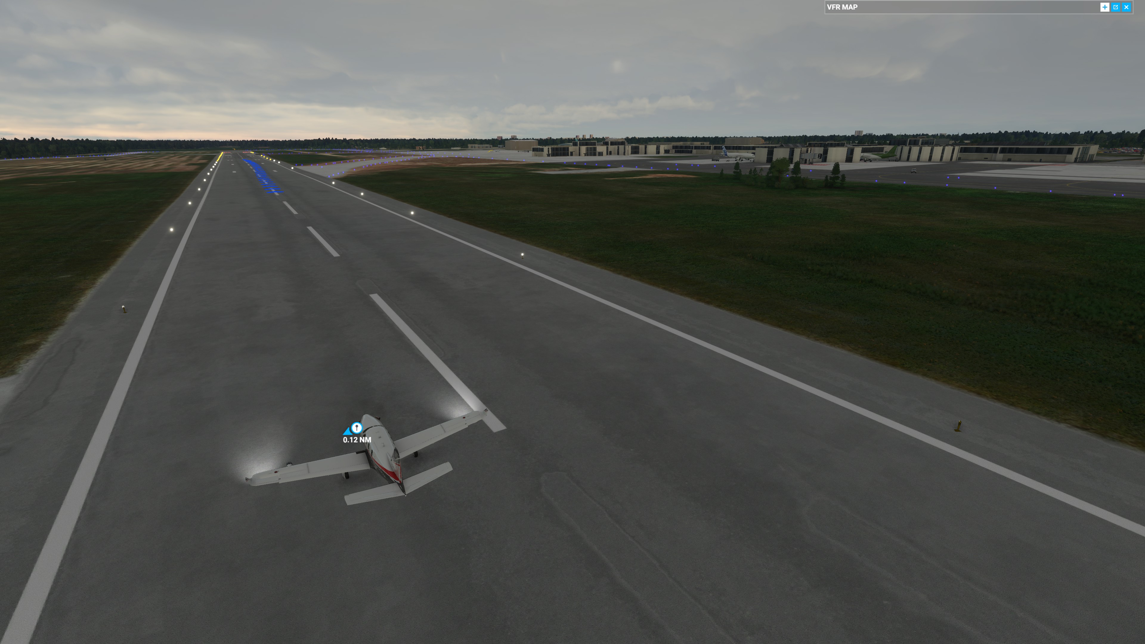
And last but not least:
One happy landing, cheers!
Hi everybody!
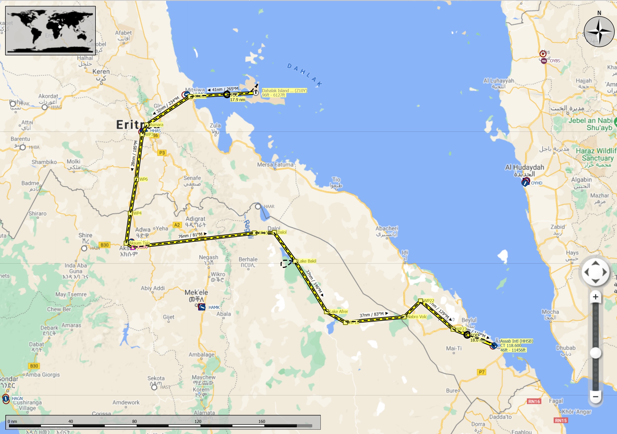
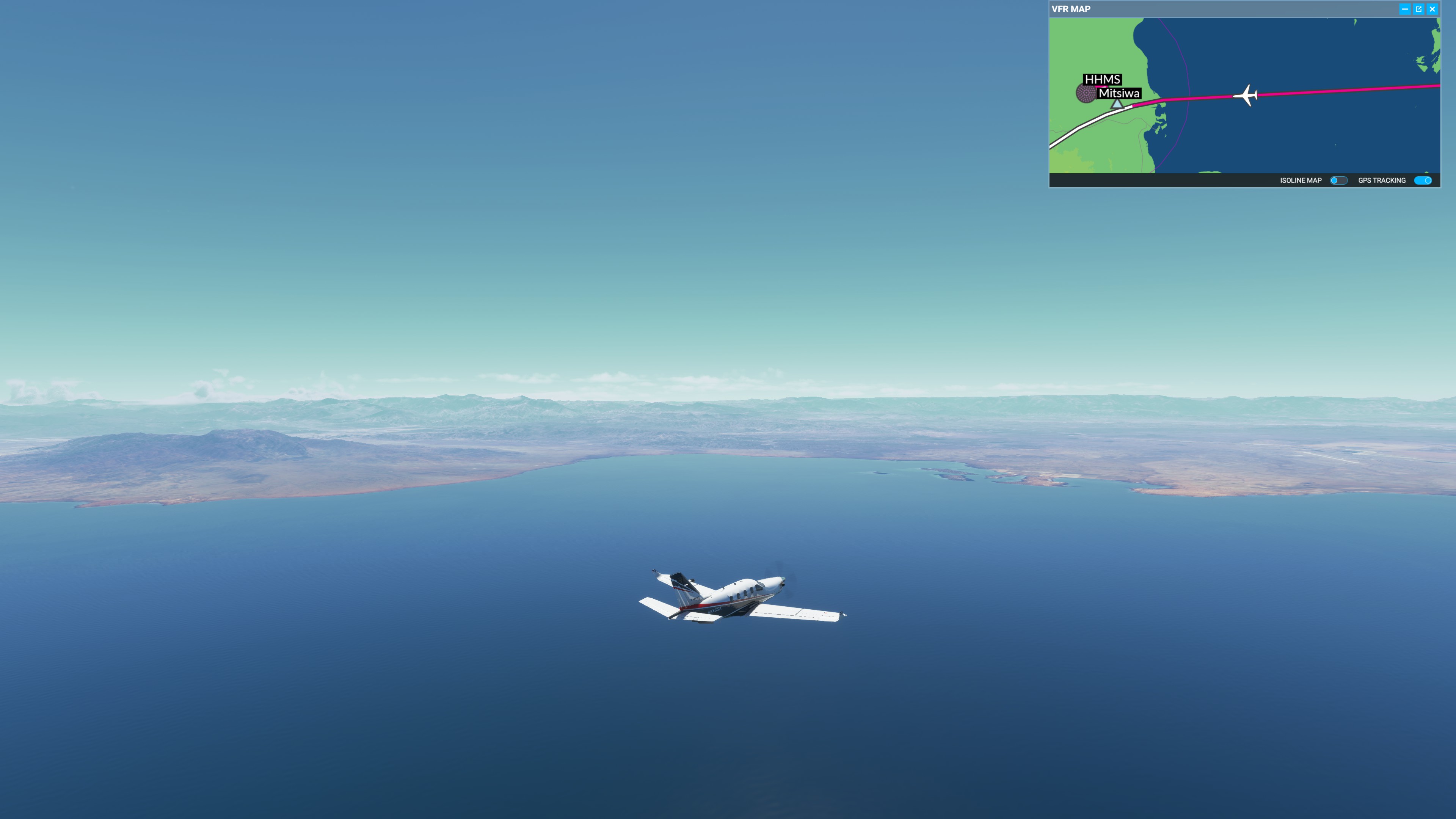
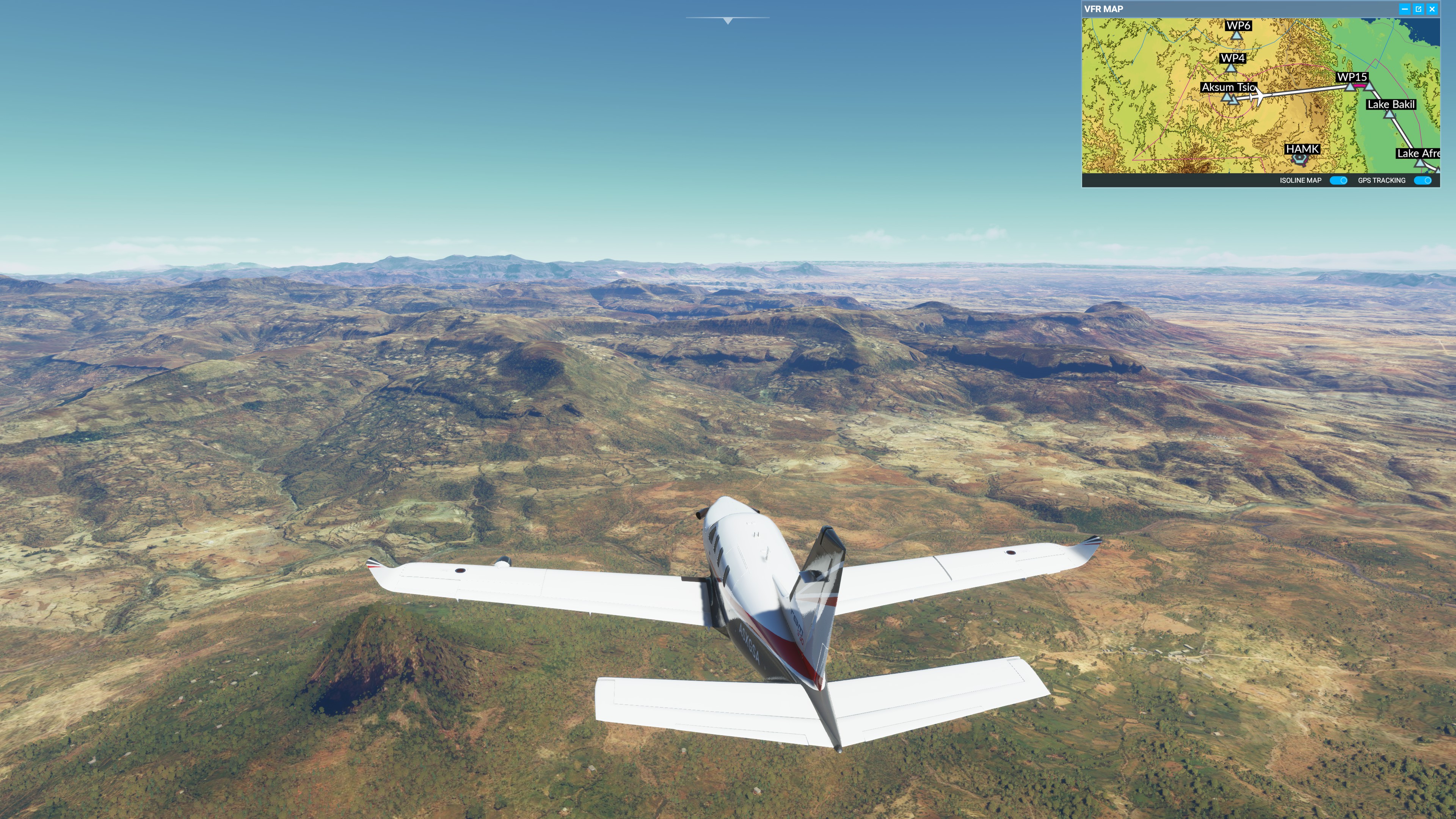
Last night i did a wild journey over Eritrea and Ethiopia, this was the flight plan, 420NM long:
I started off Dahalak island in the red sea, and flew to Asmara, the capital of Eritrea. Then i went to a city called Aksum to see one of the MFS points of interest: “Church of our lady Mary of Zion” a very old church in Ethiopia. After this, i went to the “delicatessen” of the journey, the Danakil depression, a vast depression roughly the area of 200 x 50 km, that displays complex geological phenomena that occurs as a resuld of the African and Asian tectonic plates collision in this area of the red sea. Brimming in volcanic activity, this area holds the record for the hottest place on Earth, and it is also one of the lowest points of Earth, some 120mt below sea level.
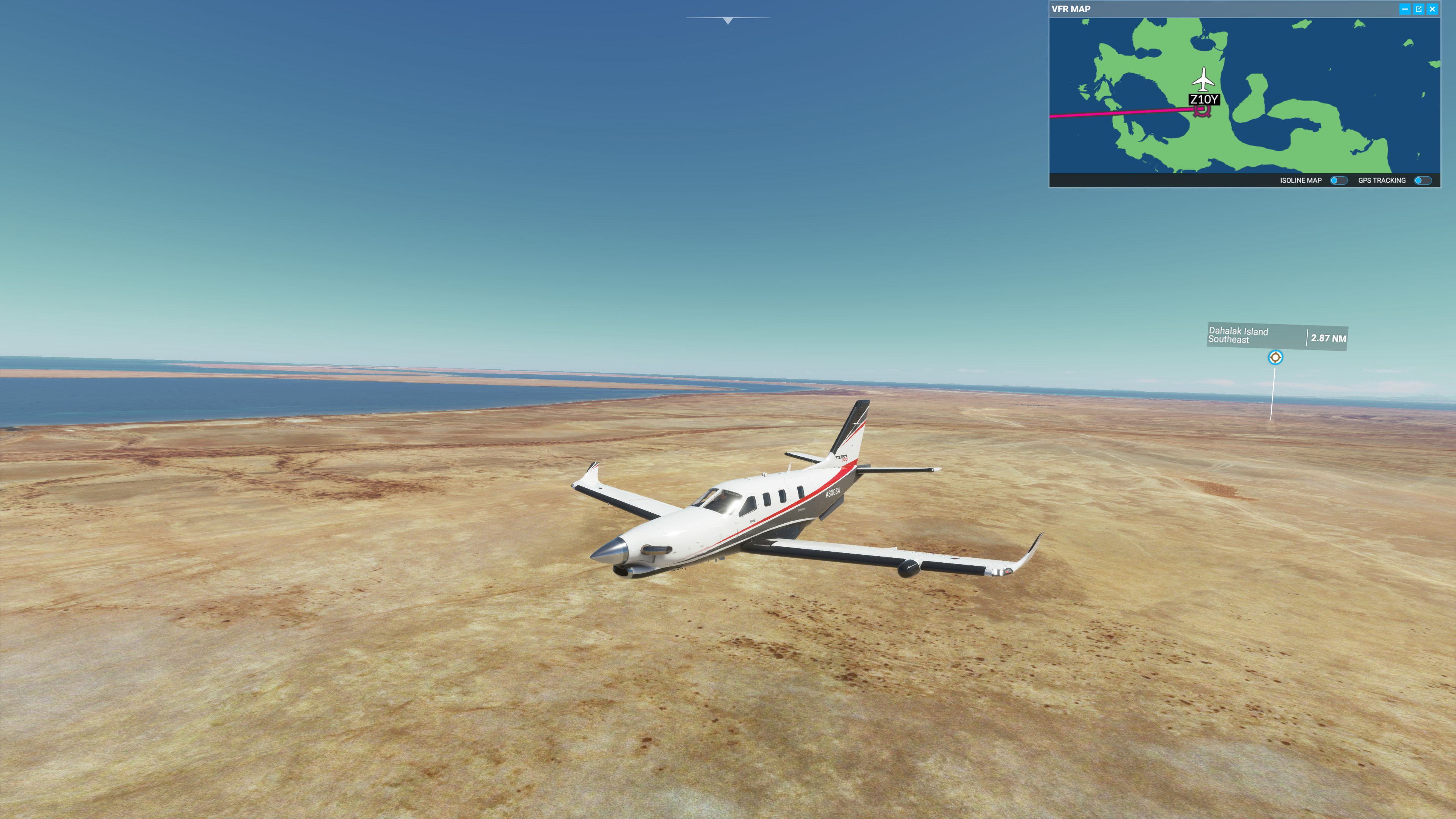
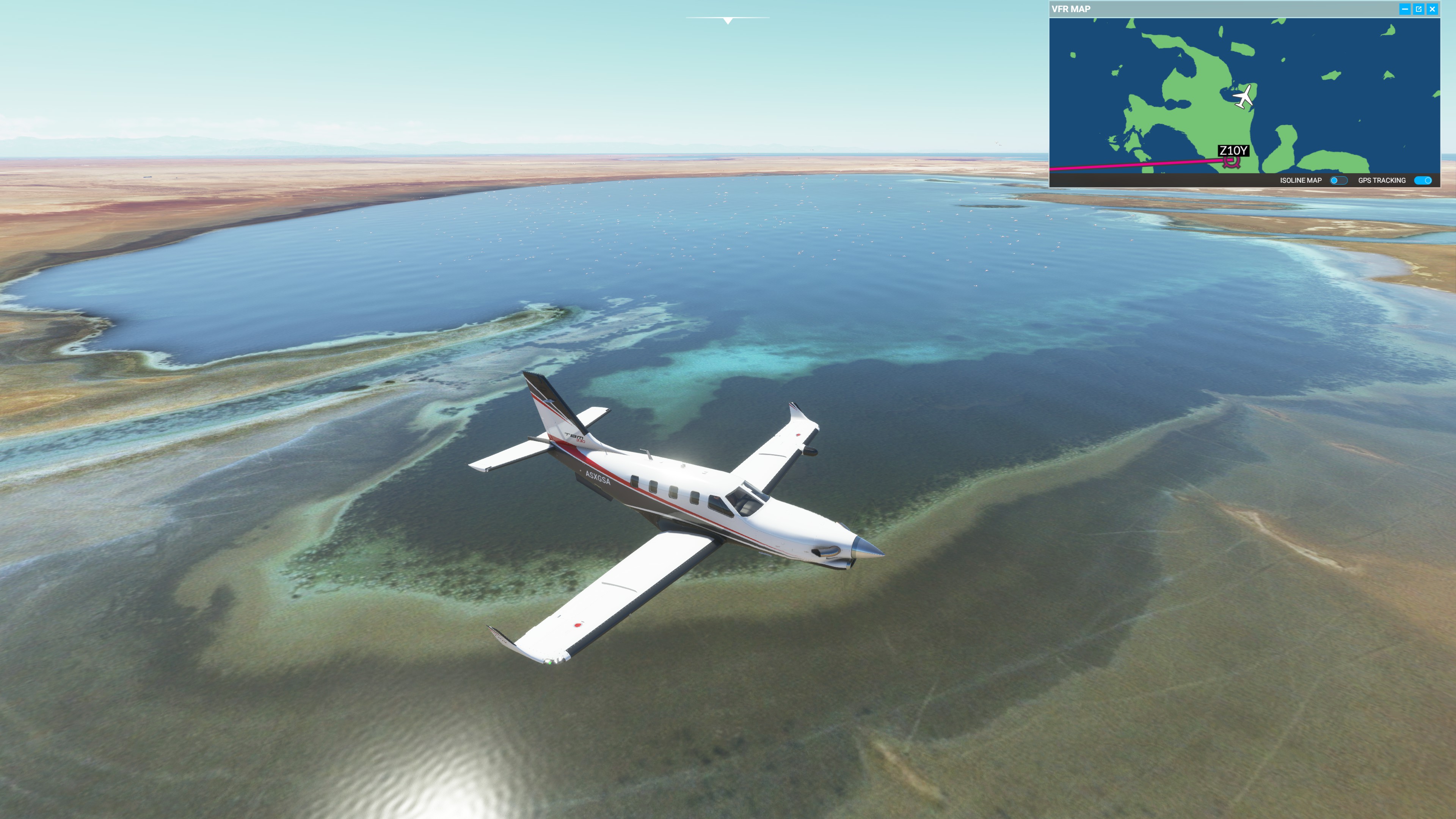
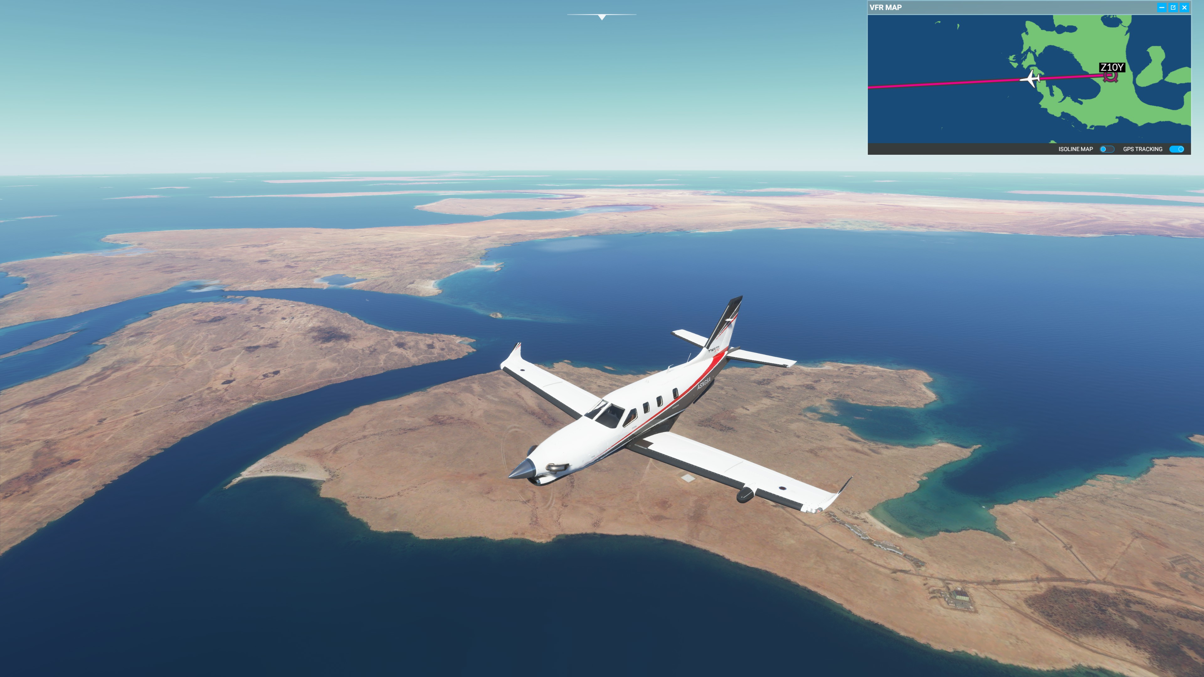
So i took off from a short runway in Dahalak Island, and it happened that some flamingos were close, so i went to see them, they passed SO fast i couldn’t have the chance to see them from up close :
Lovely island, very nice colours, if you are close someday, take a visit!
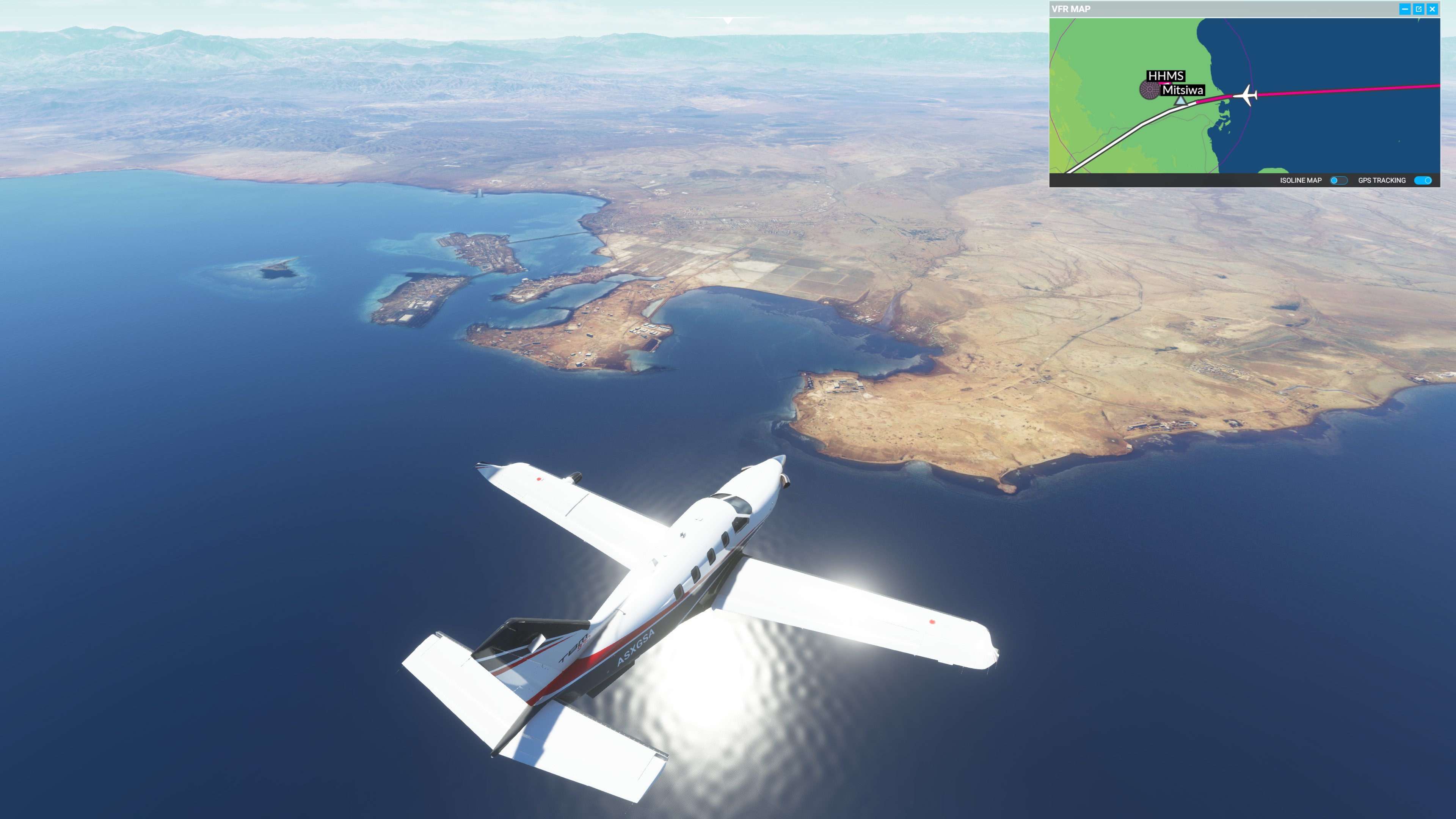
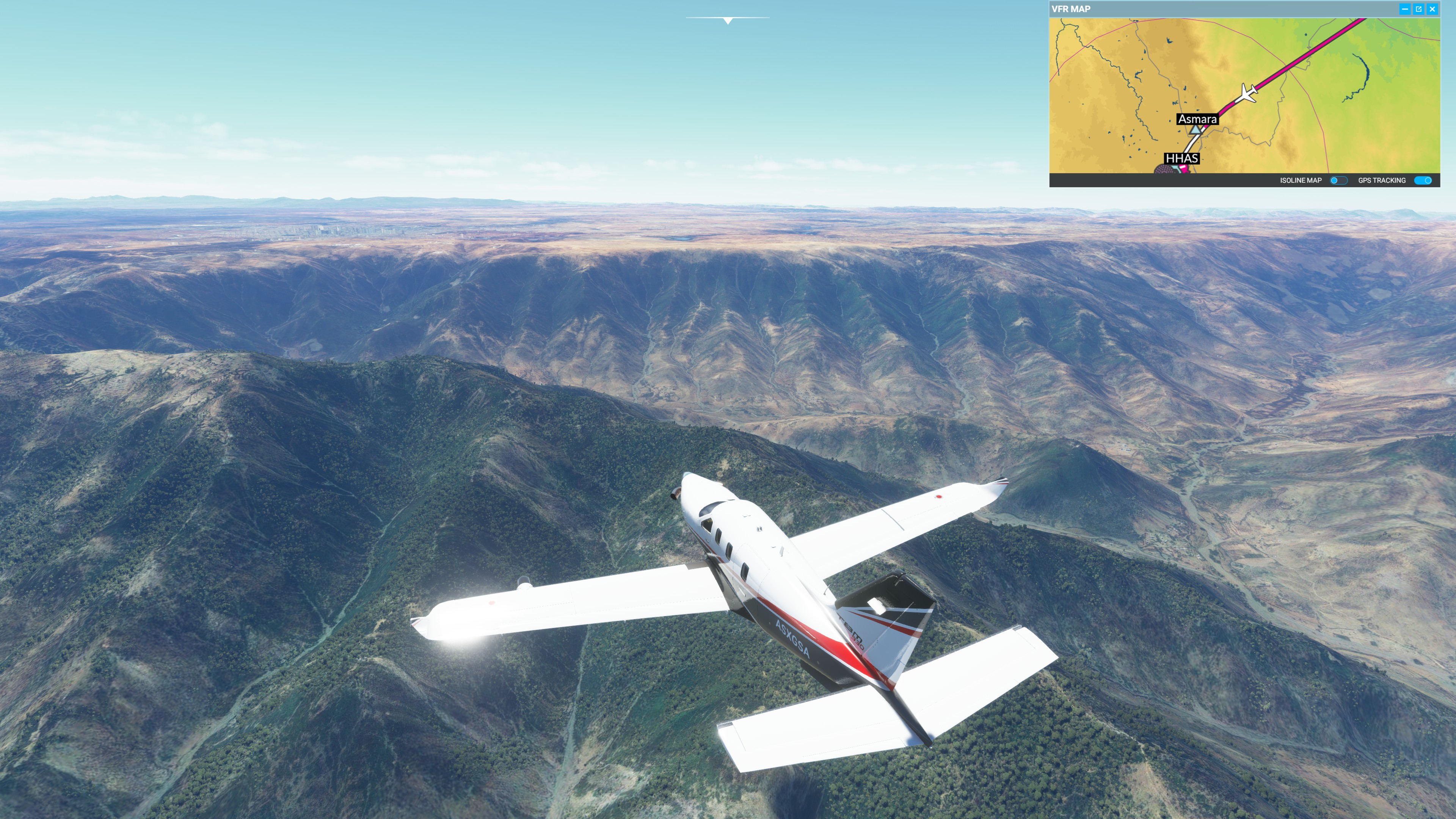
Crossing the red sea and flying over eritrean city Mitsiwa:
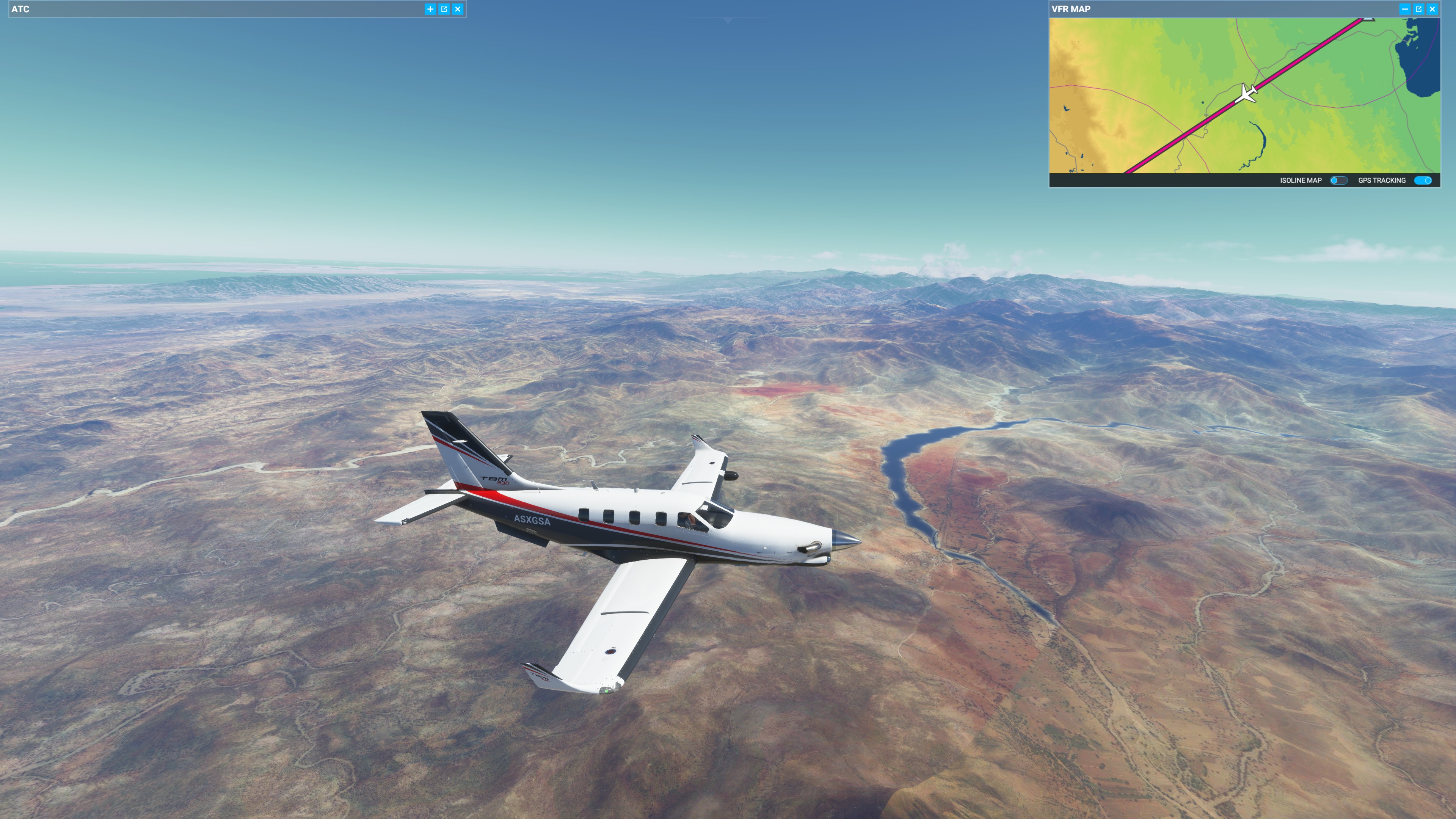
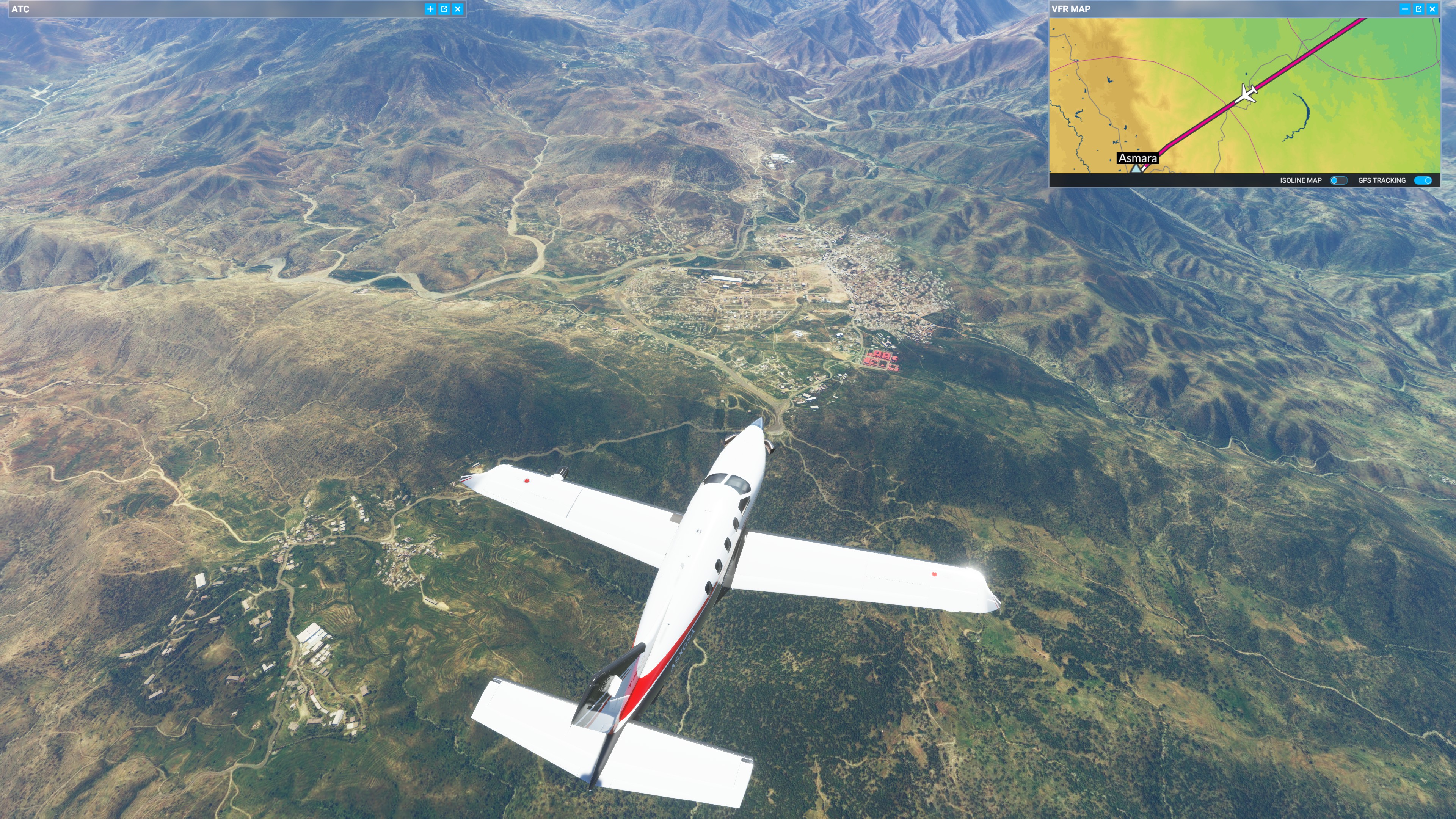
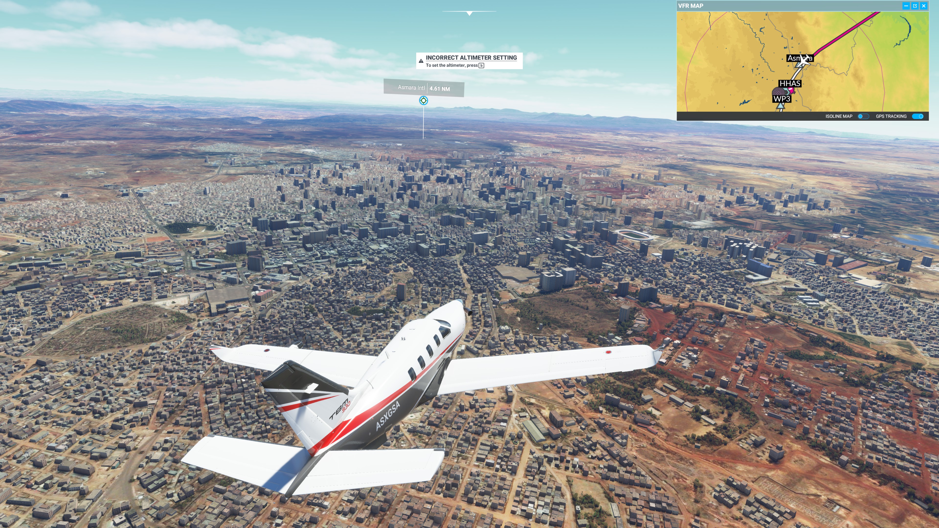
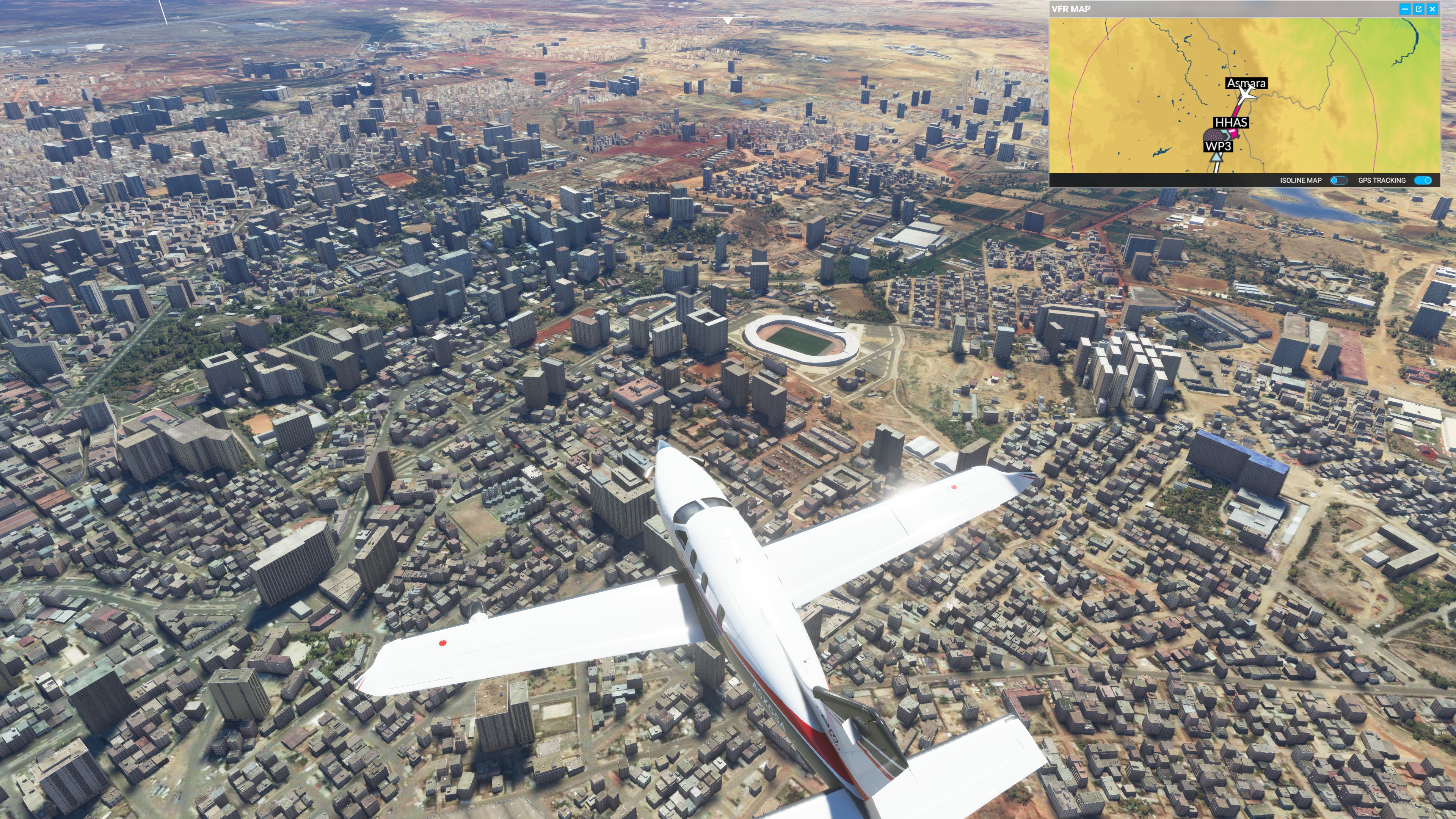
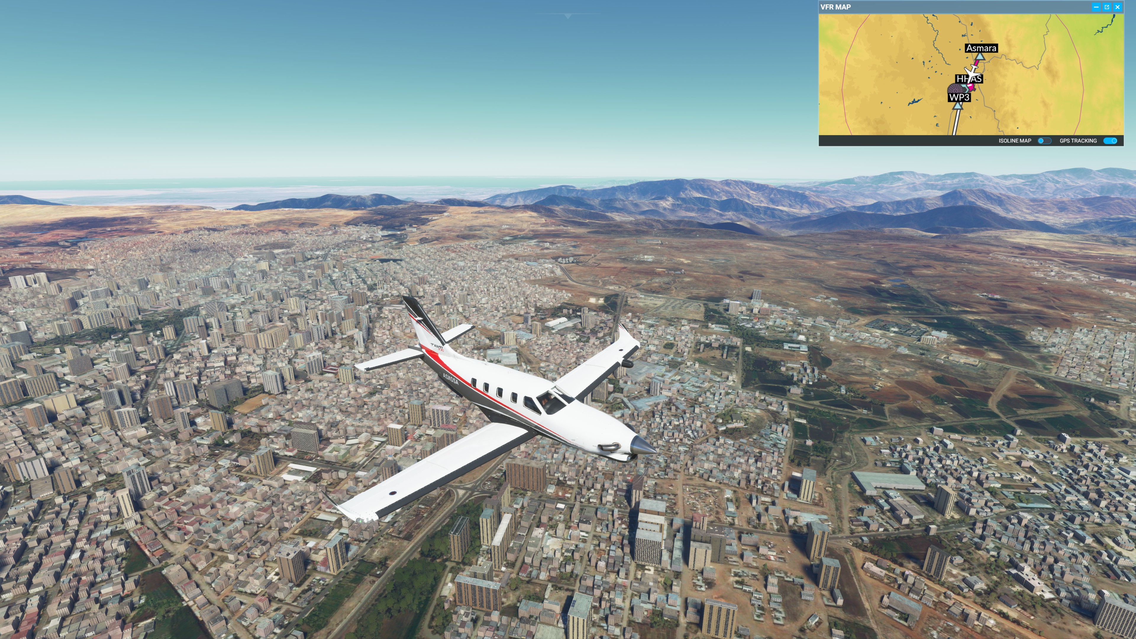
On my way to Asmara:
I think there’s something wrong with this city, i looked up for some pictures and it doesn’t have so many tall buildings:
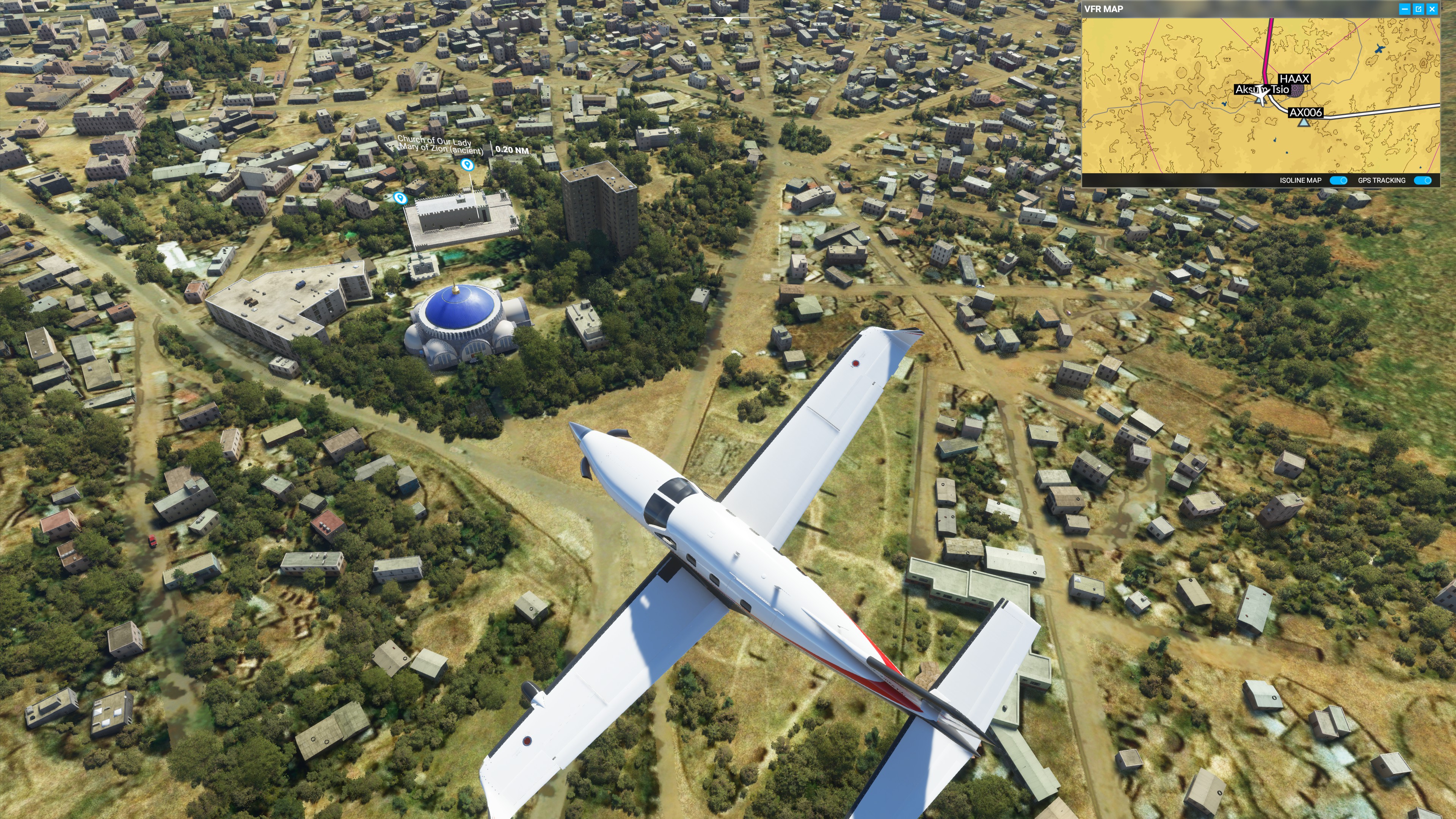
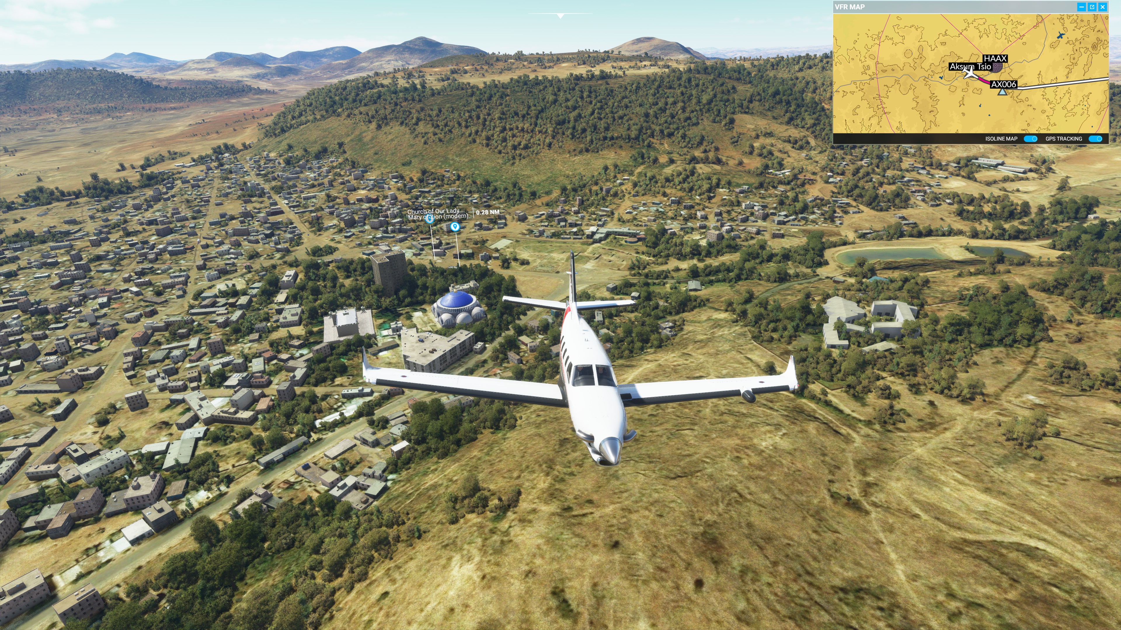
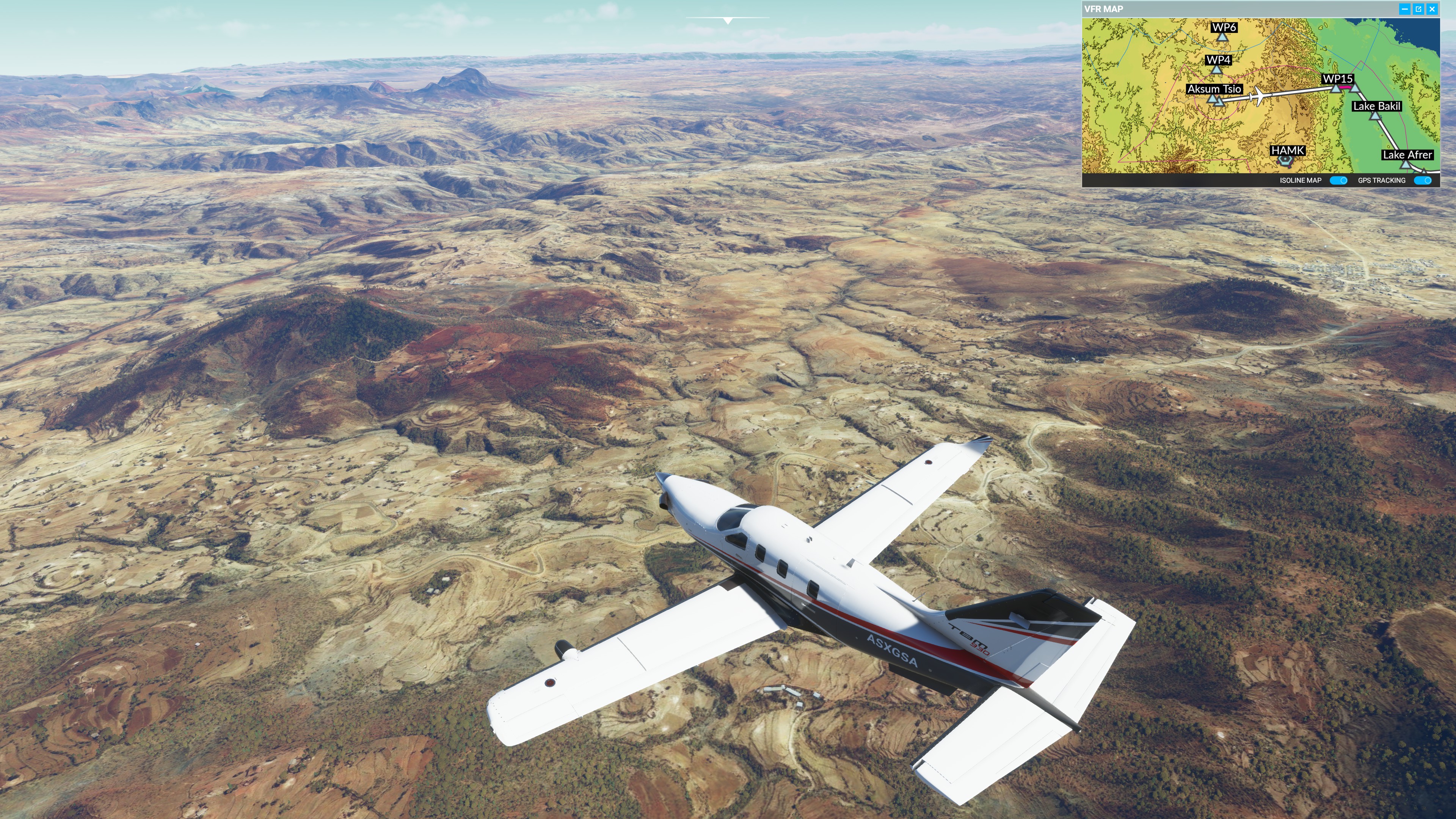
Now flying off to Aksum:
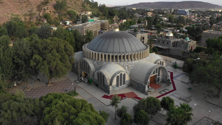
The Church of our lady Mary of Zion:
I guess it looks right, bit shiny maybe, but right, this is irl:
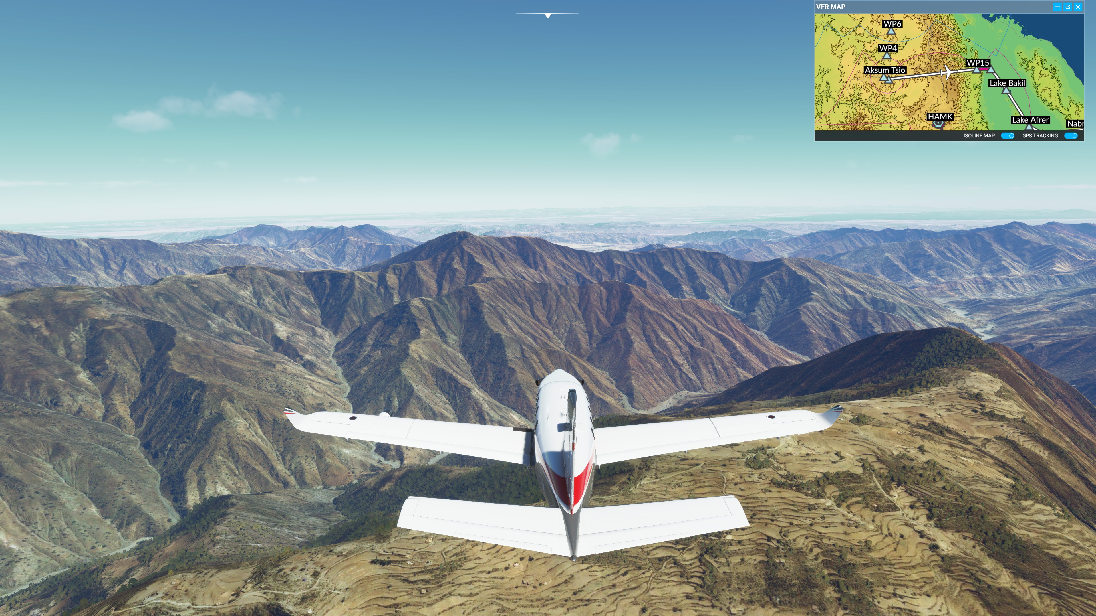
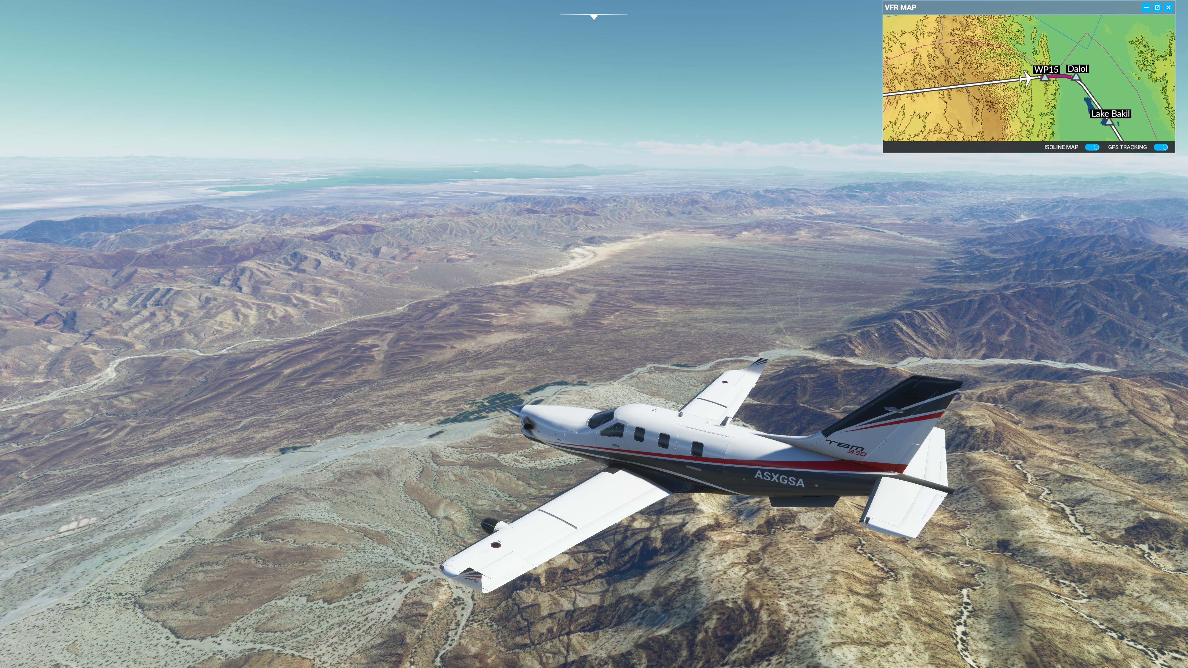
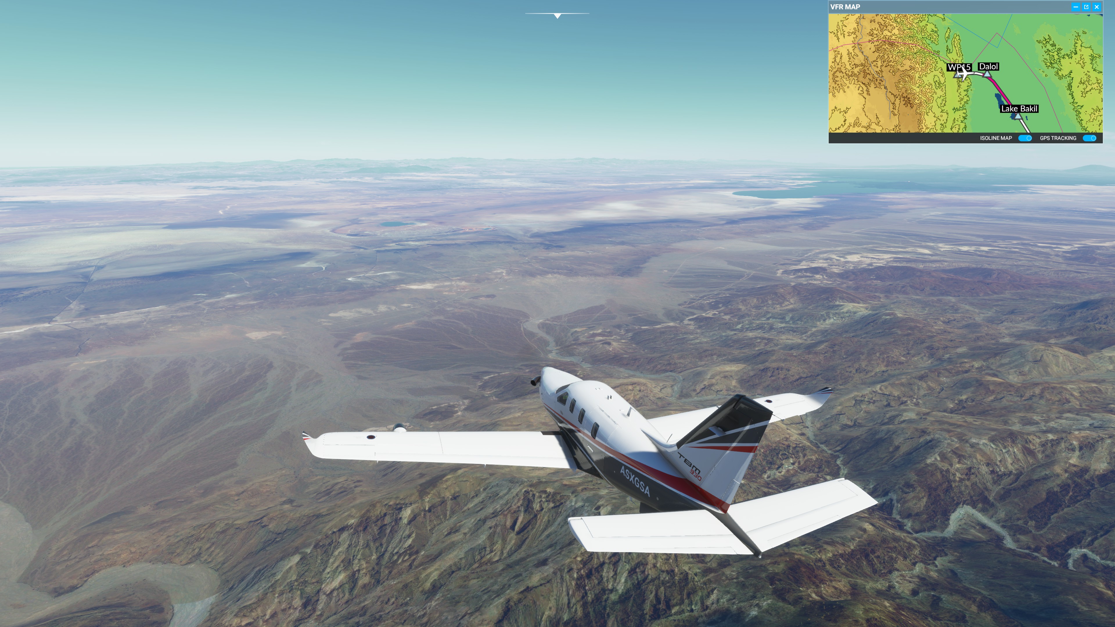
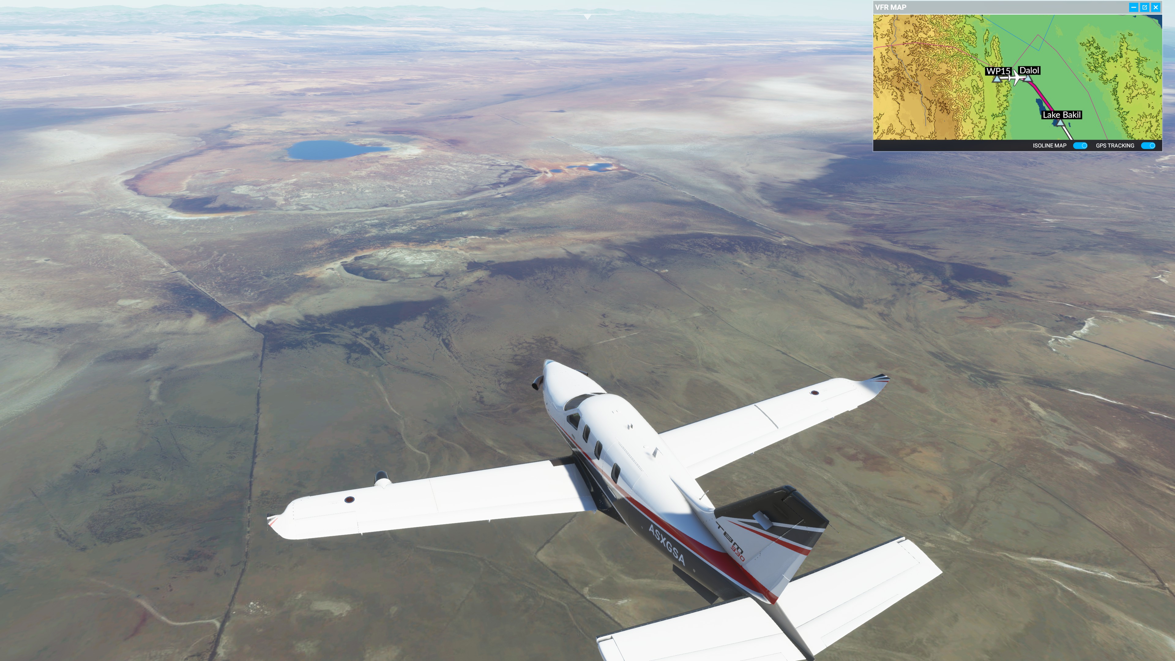
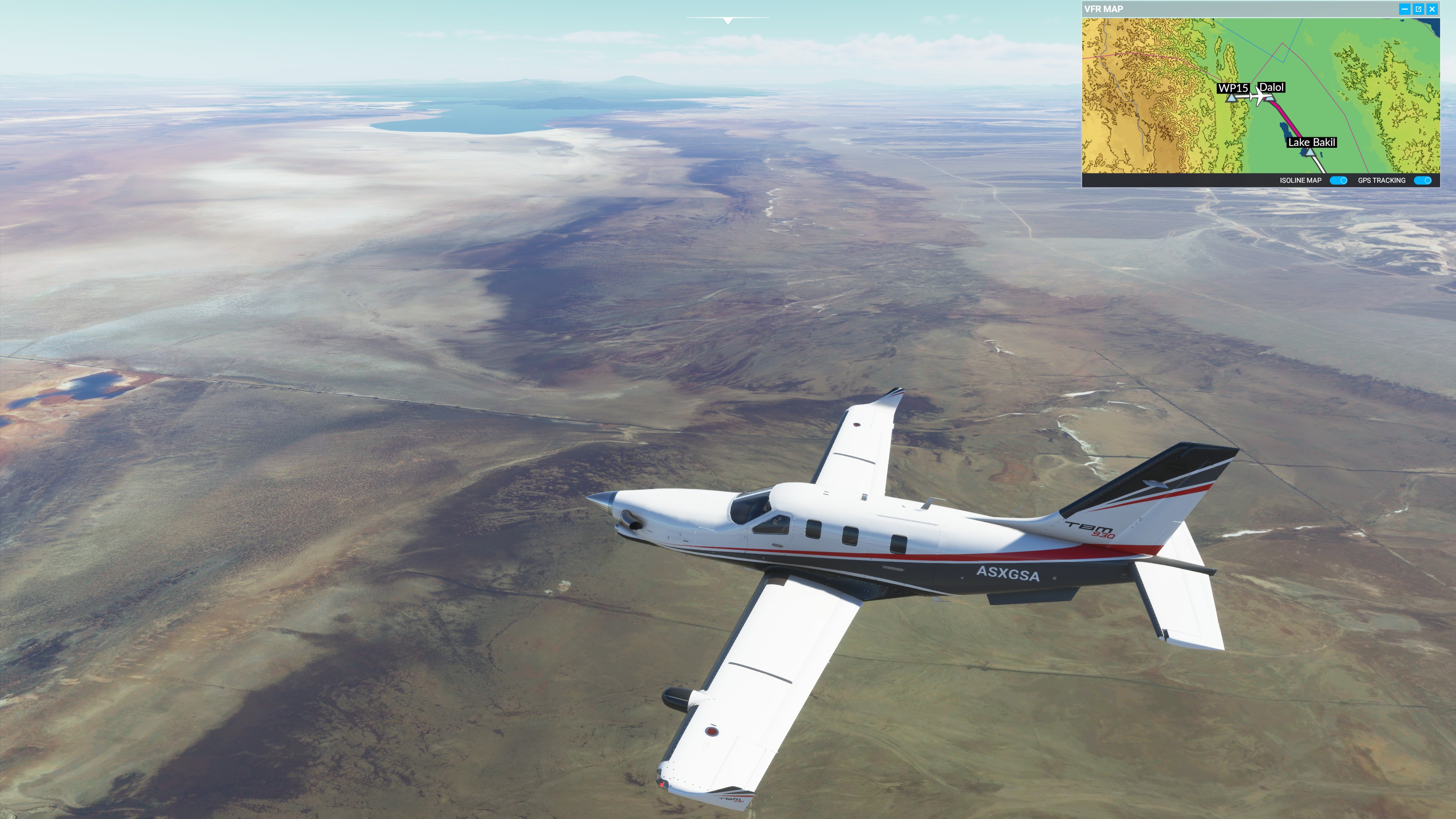
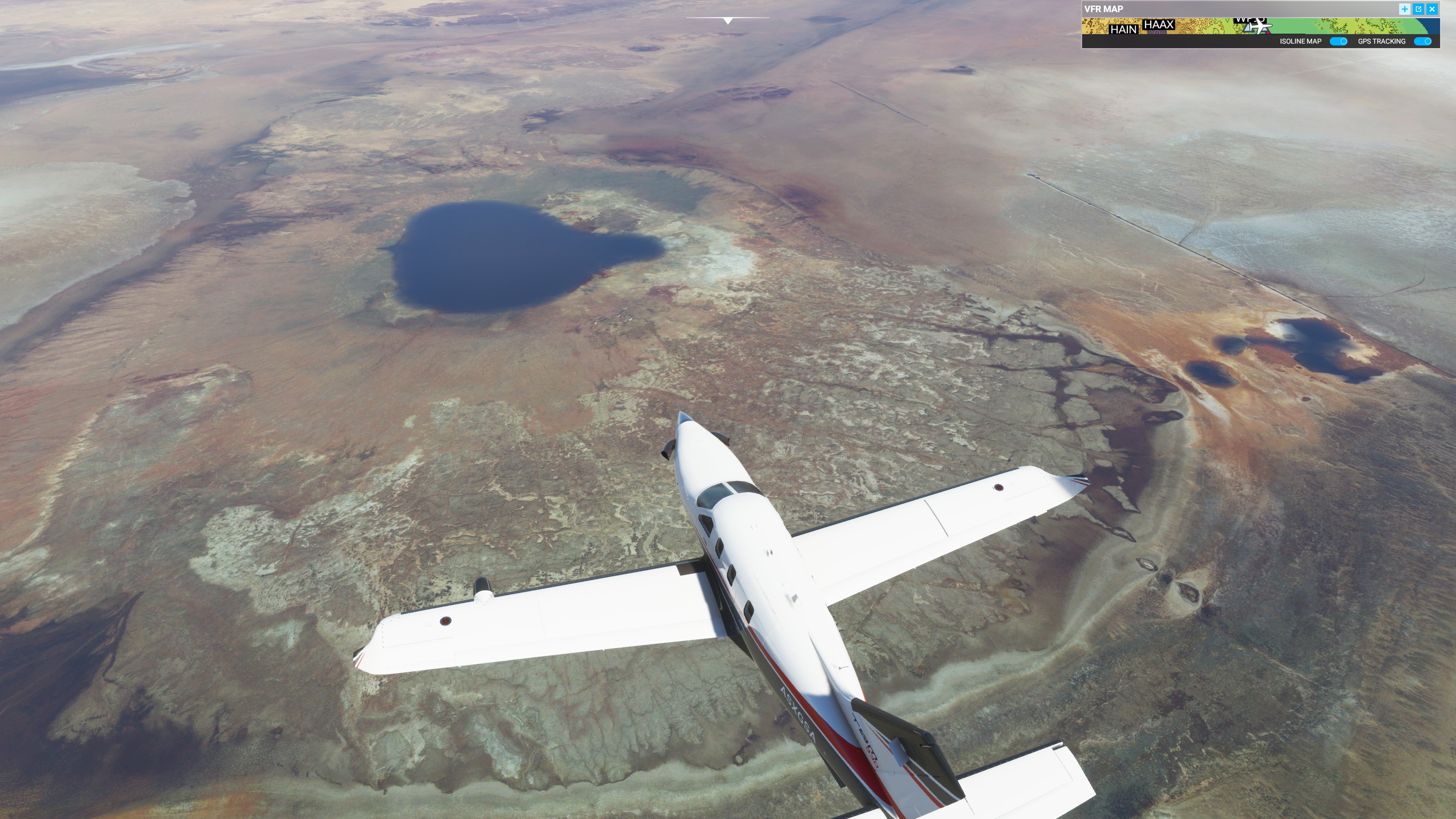
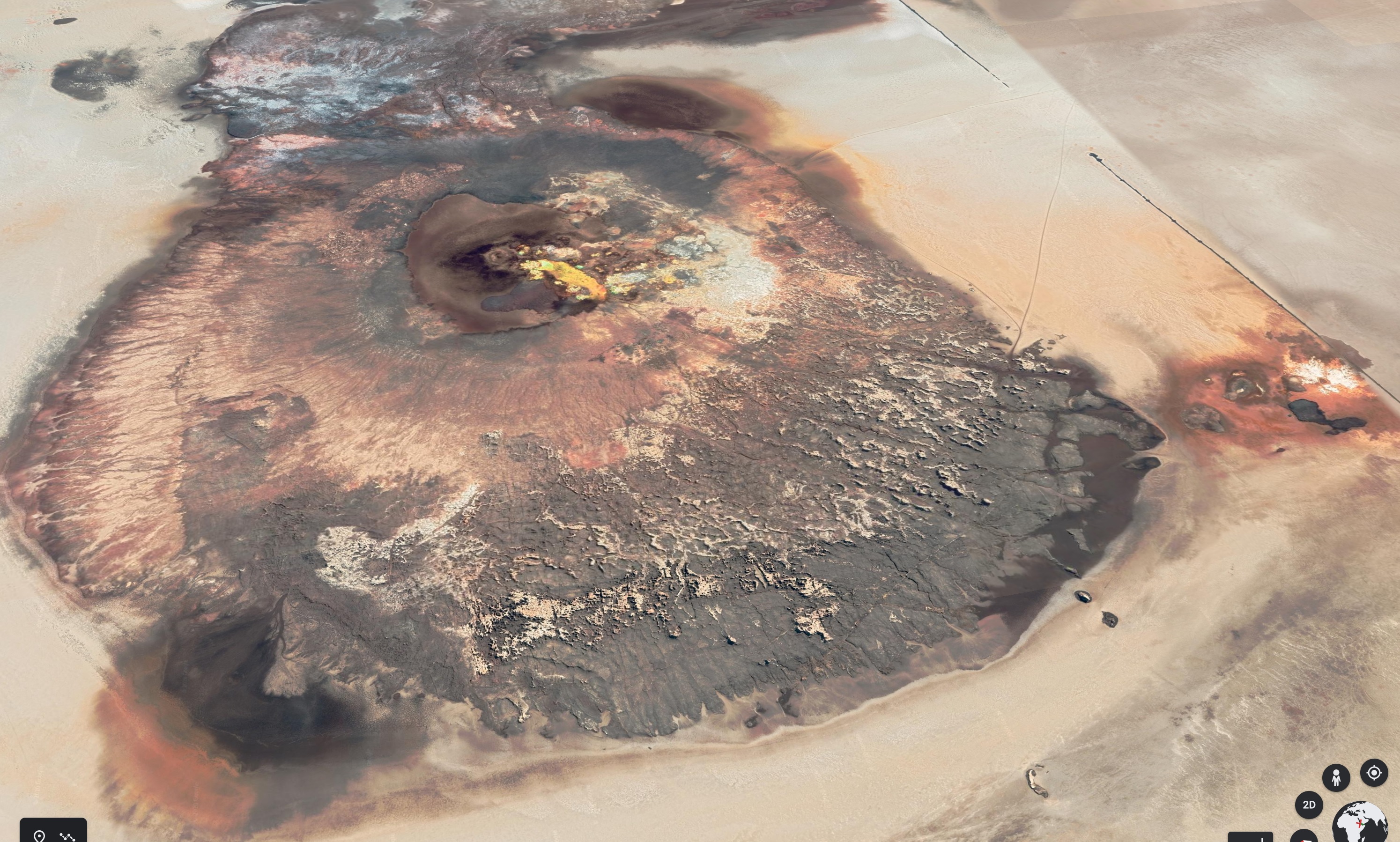
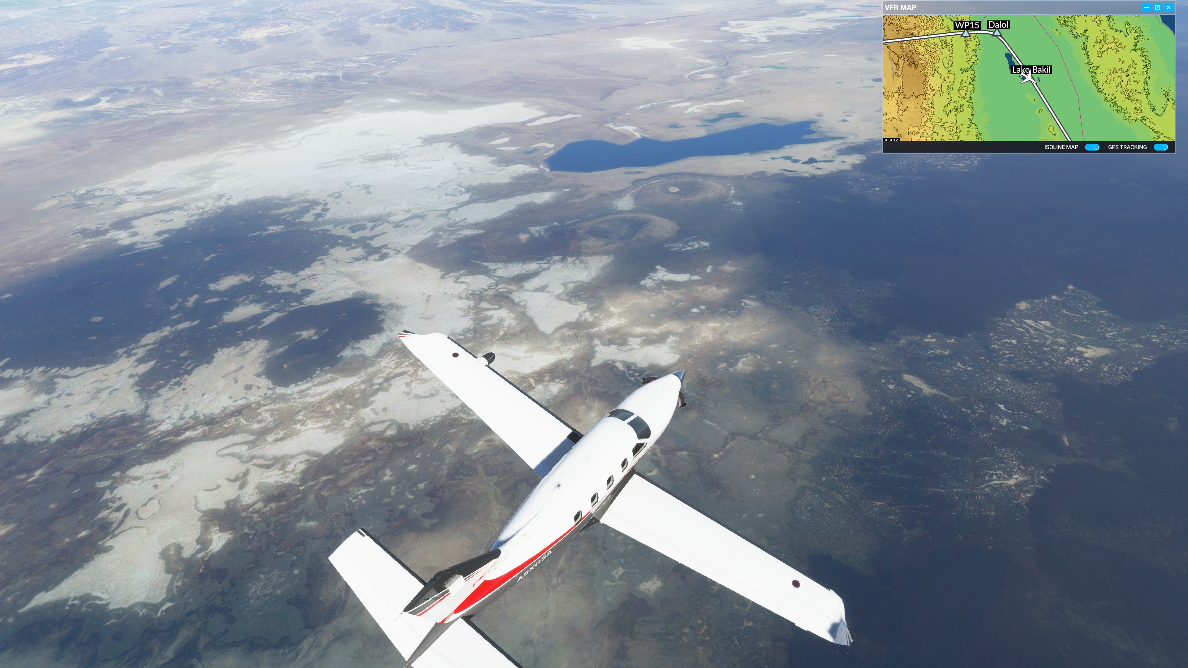
Now going directly towards Dallol, the first destination of the journey through the Danakil depression:
This is Dallol, it doesn’t make justice to what it looks irl probably, but it’s okay, the rough view of the place is good
Something like this is what it should look irl:
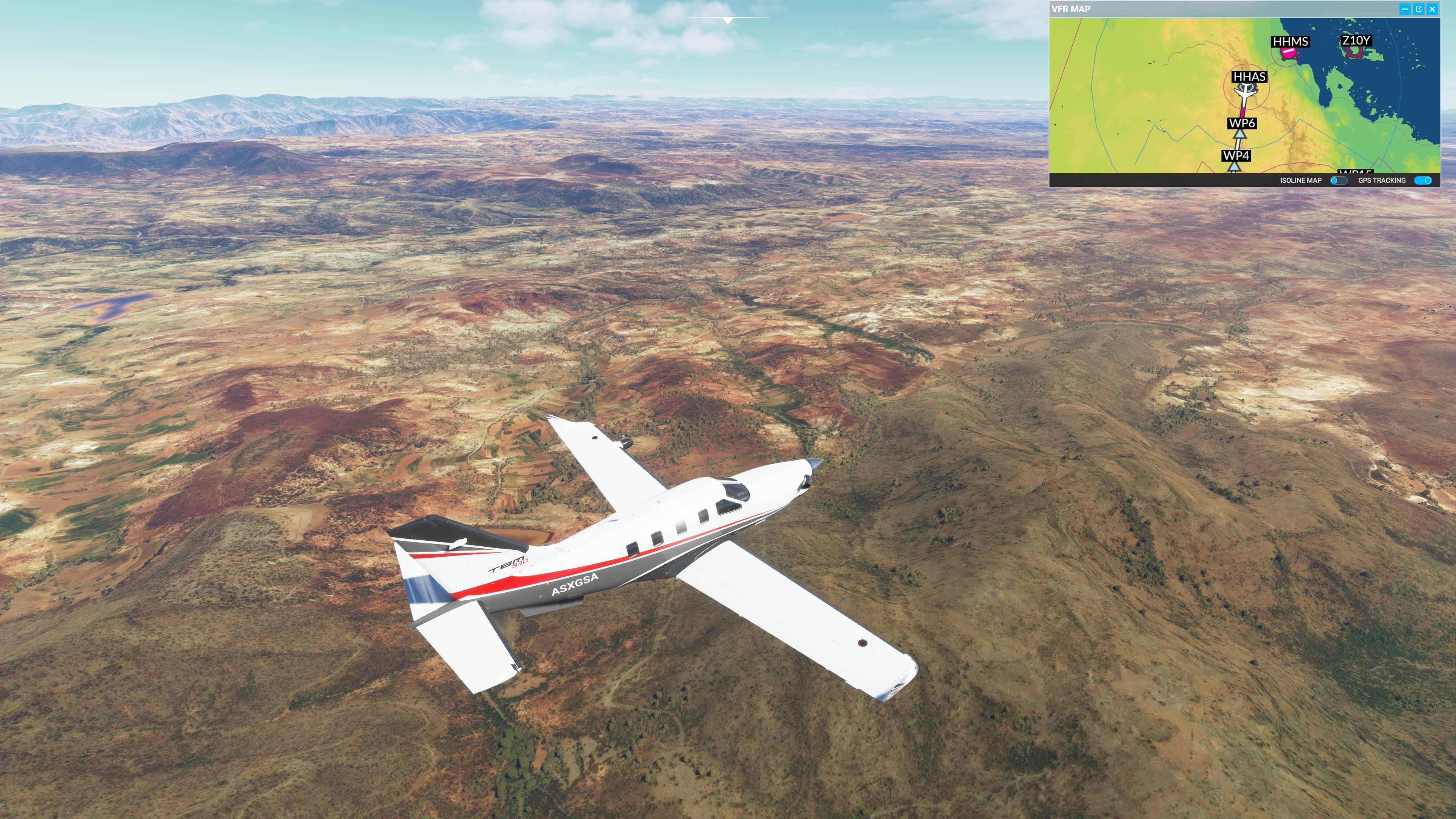
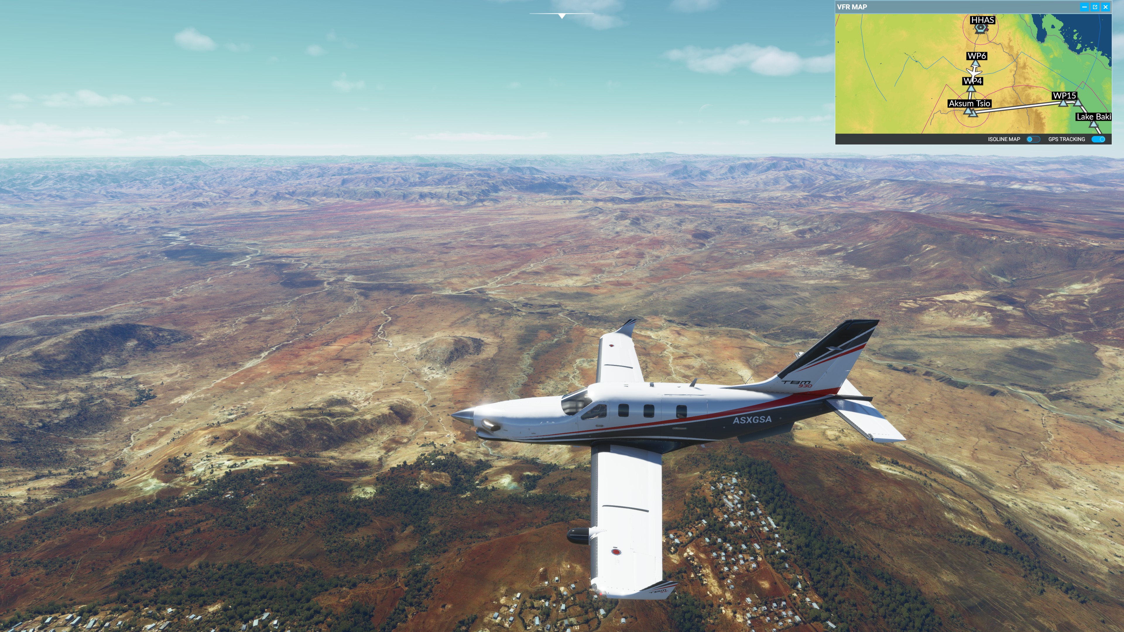
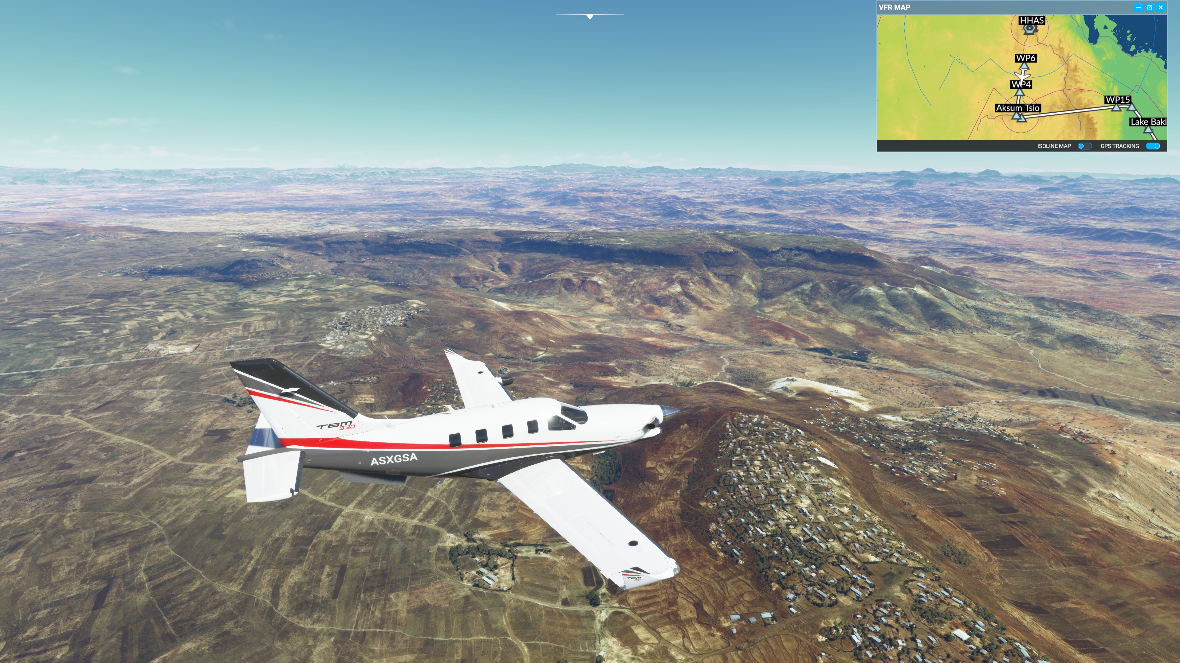
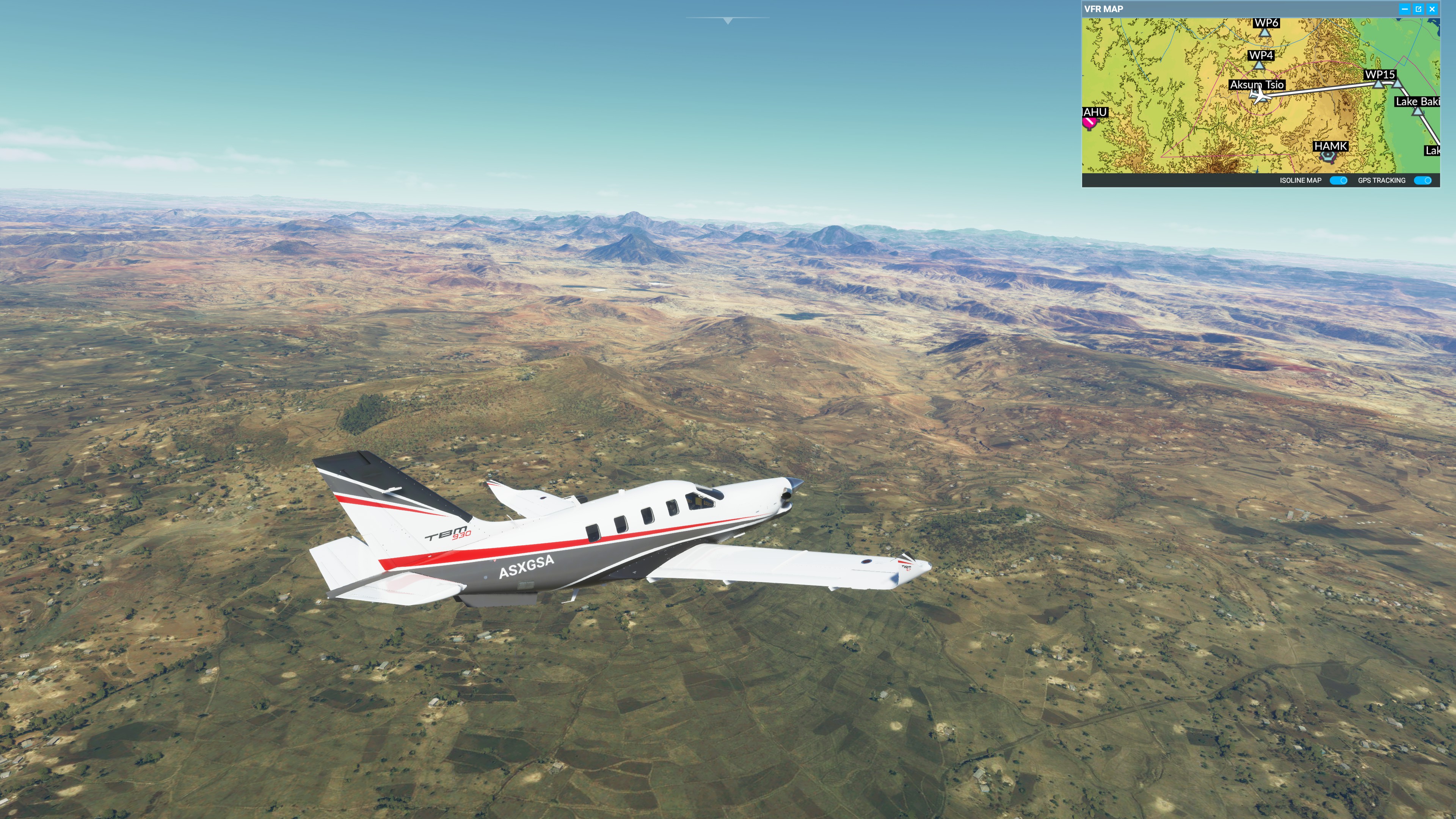
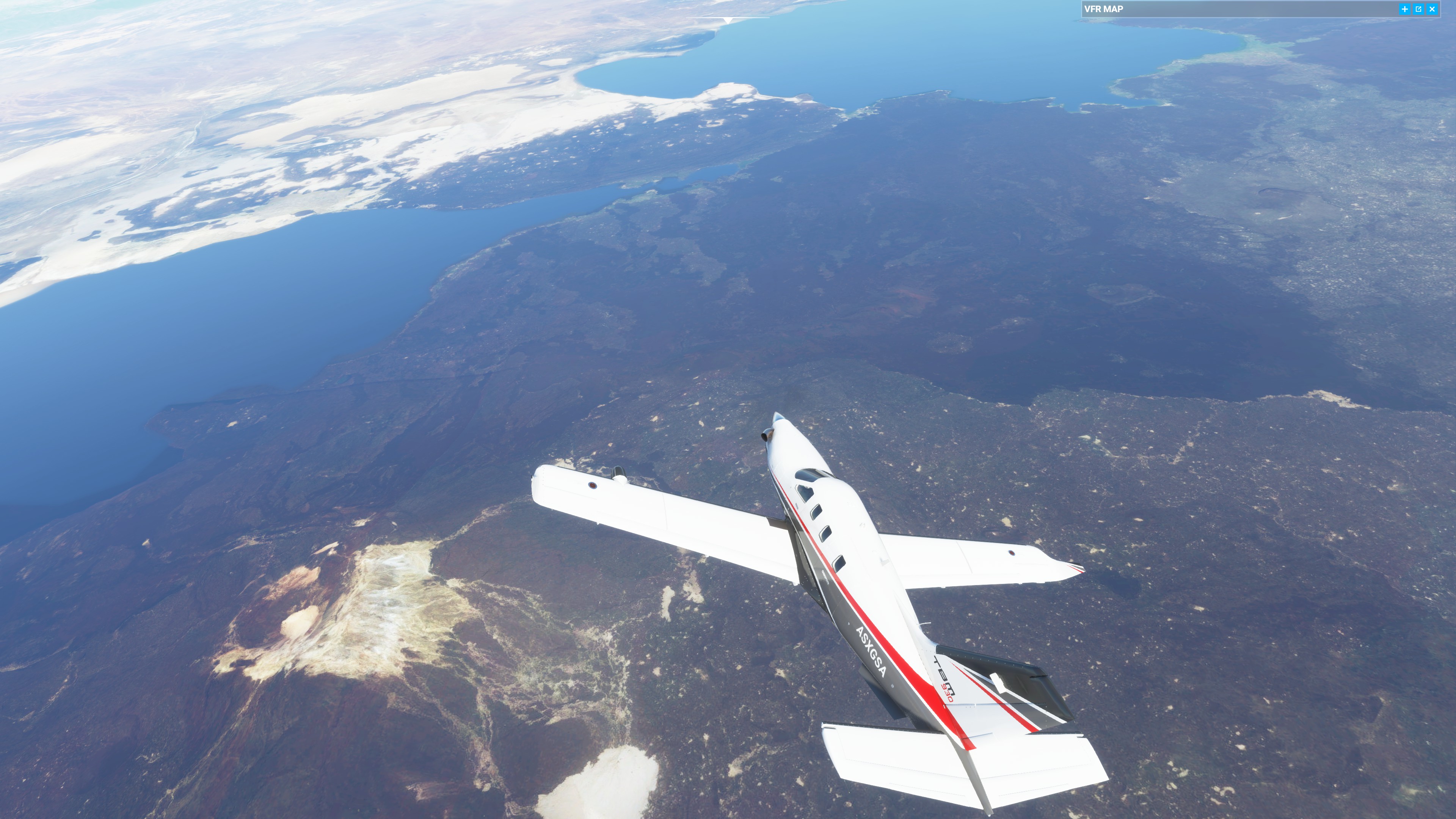
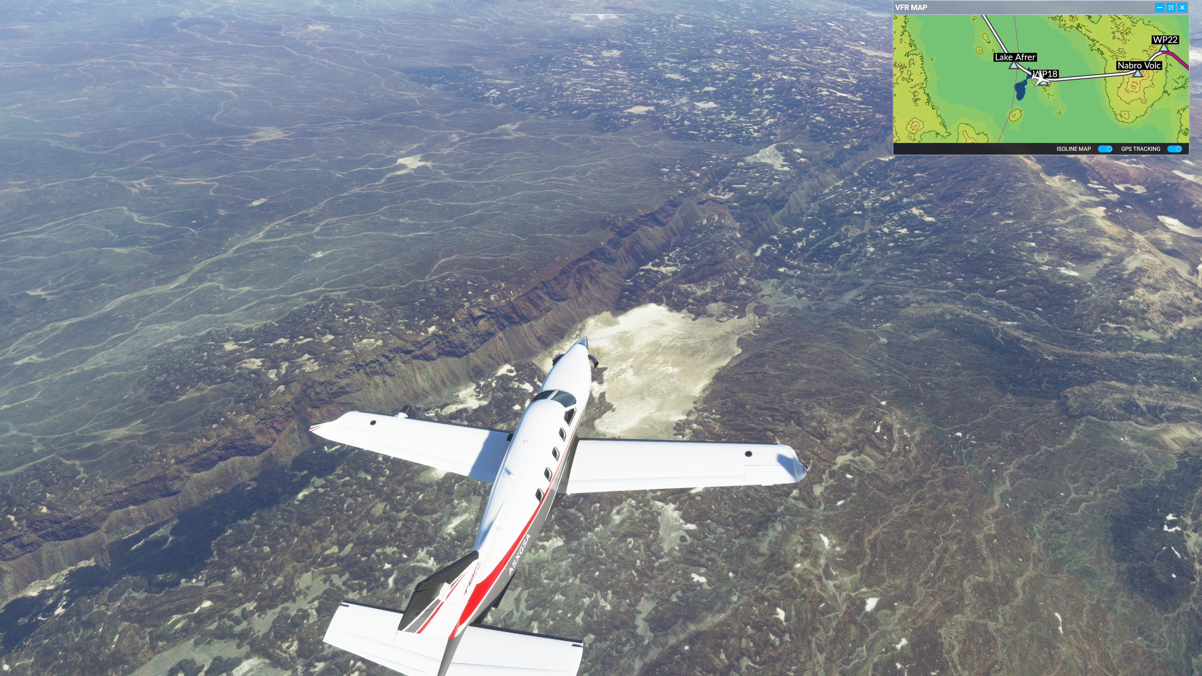
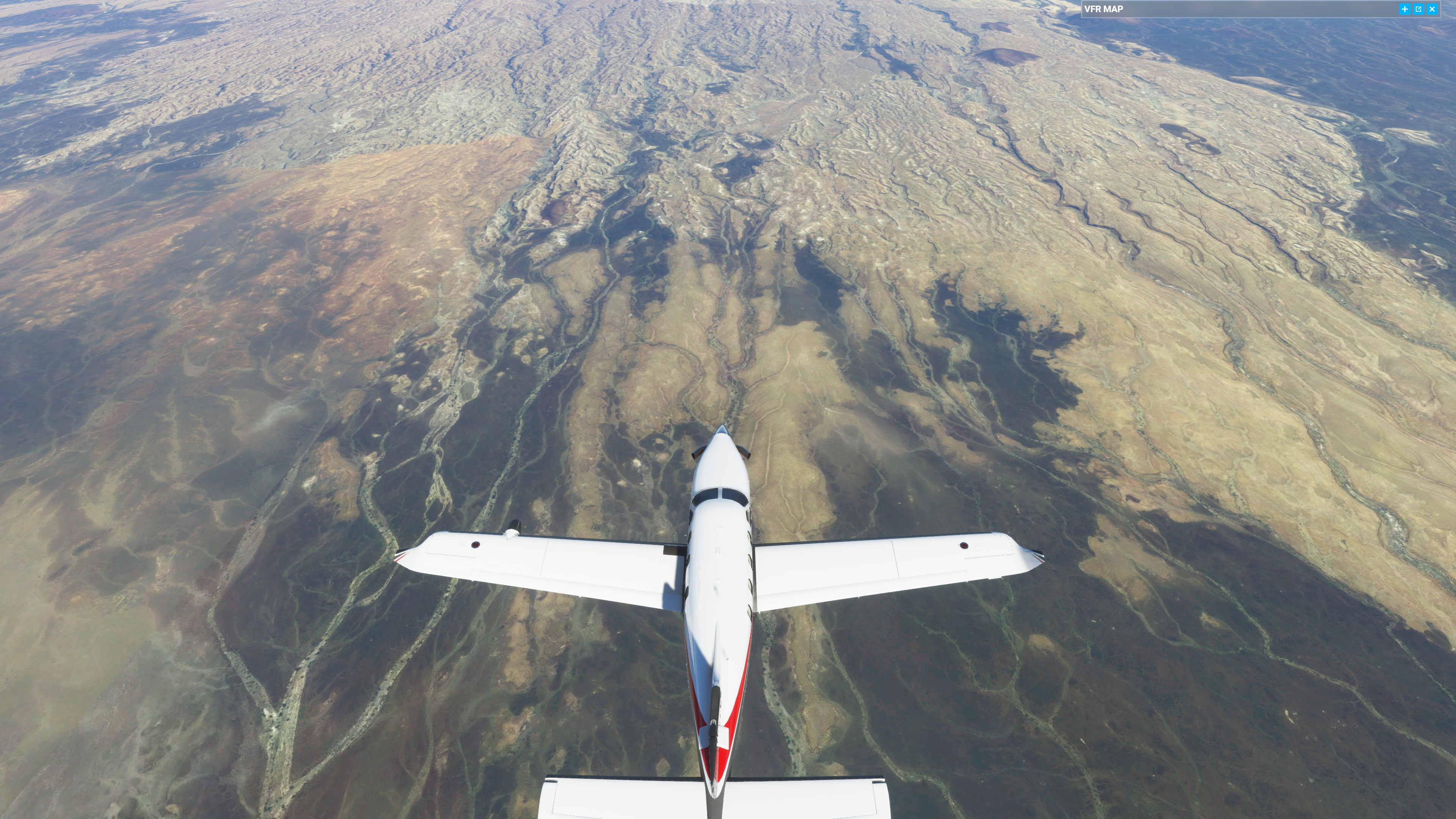
Stunning views of the rest of the journey through Danakil:
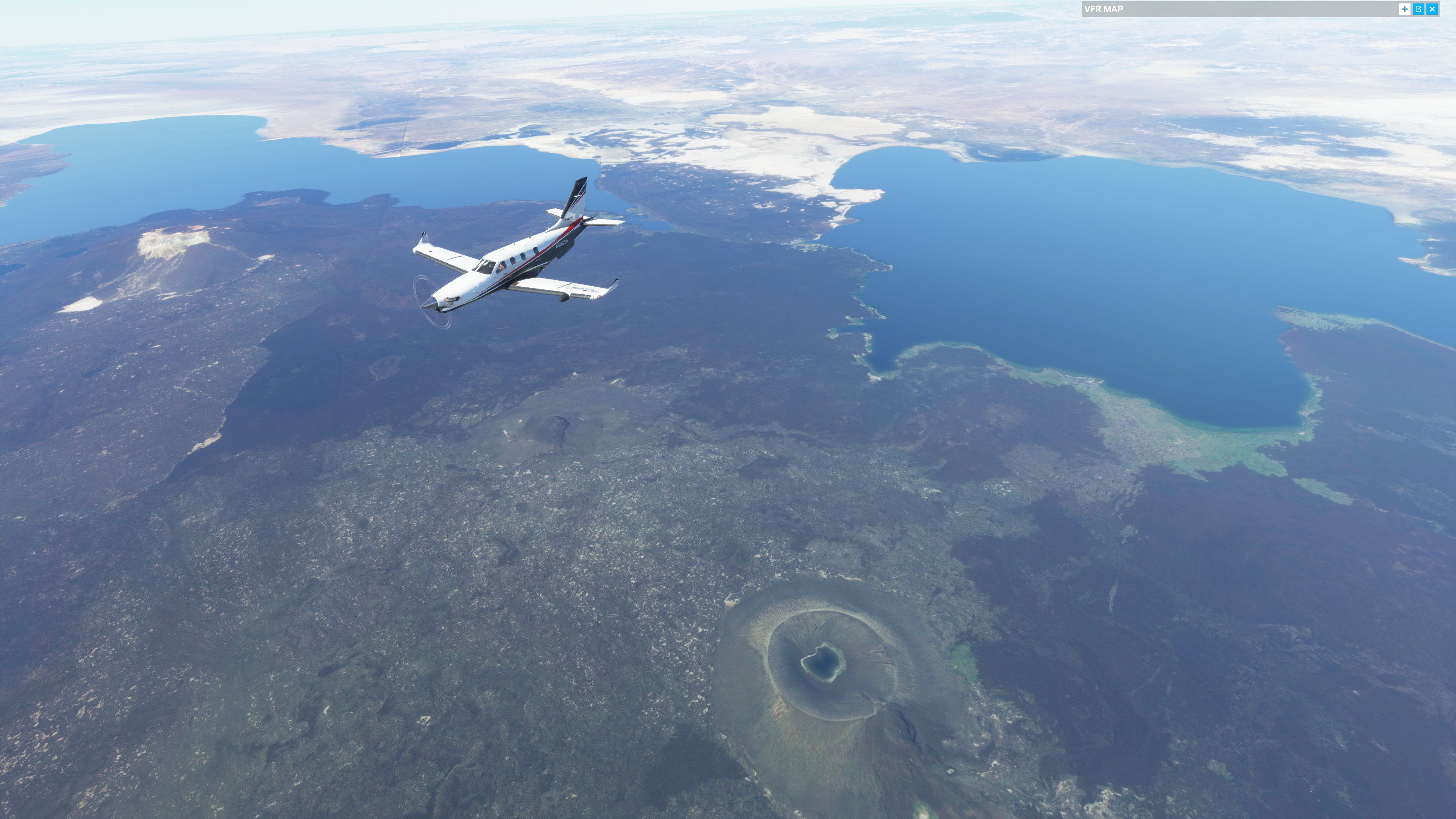
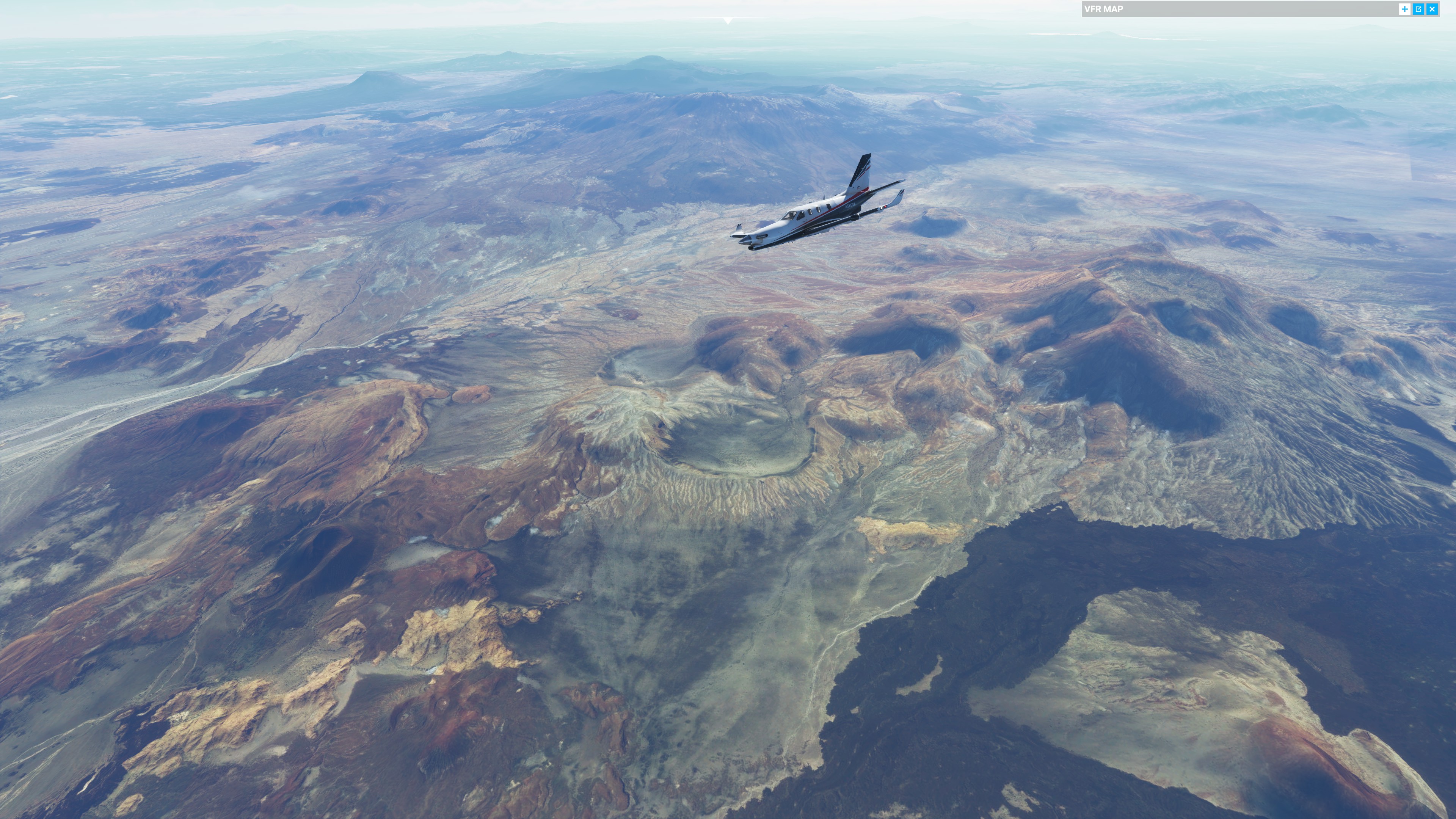
Amazing, and this is Erta Ale volcano, on the ground, over the right wing:
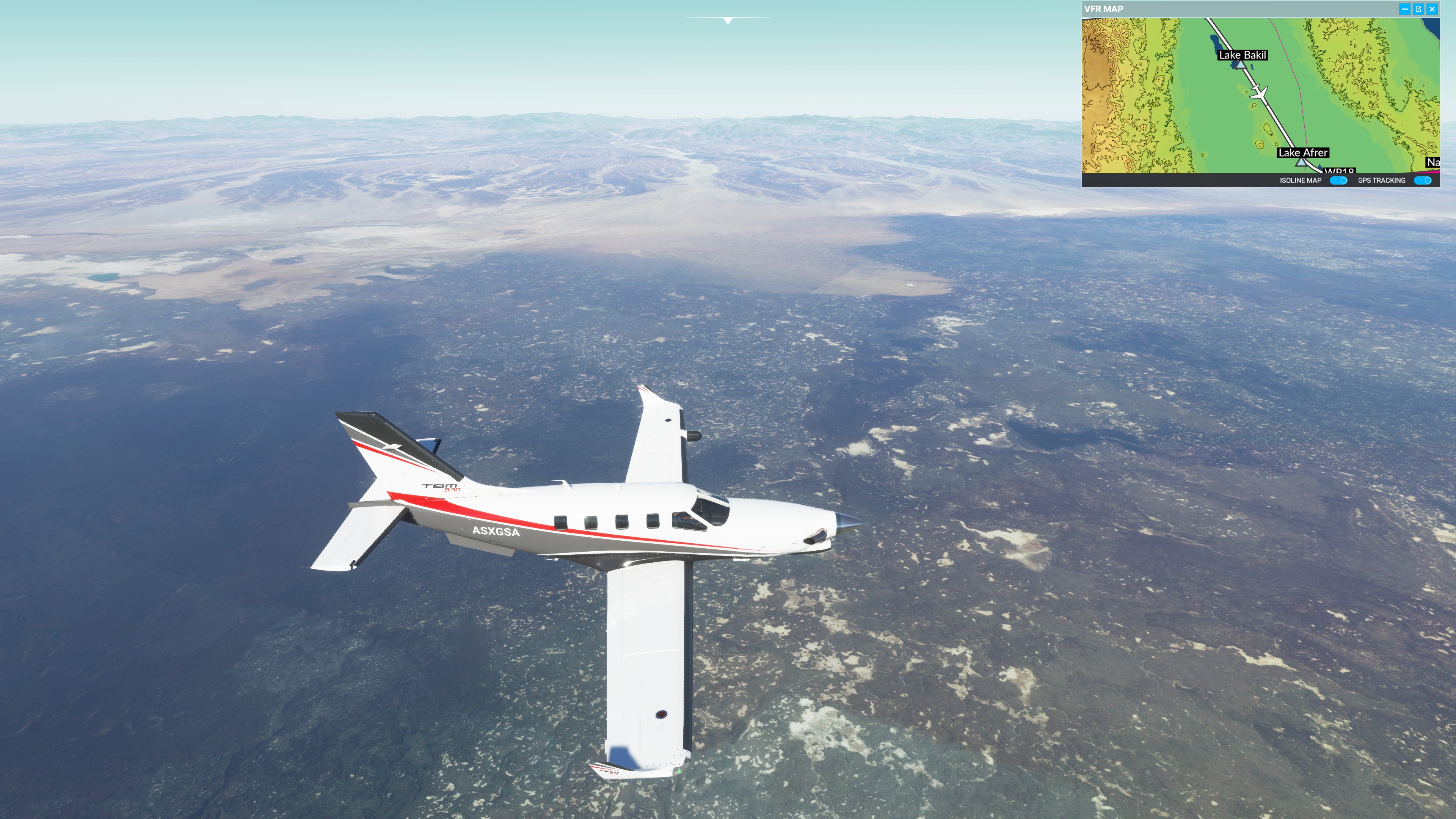
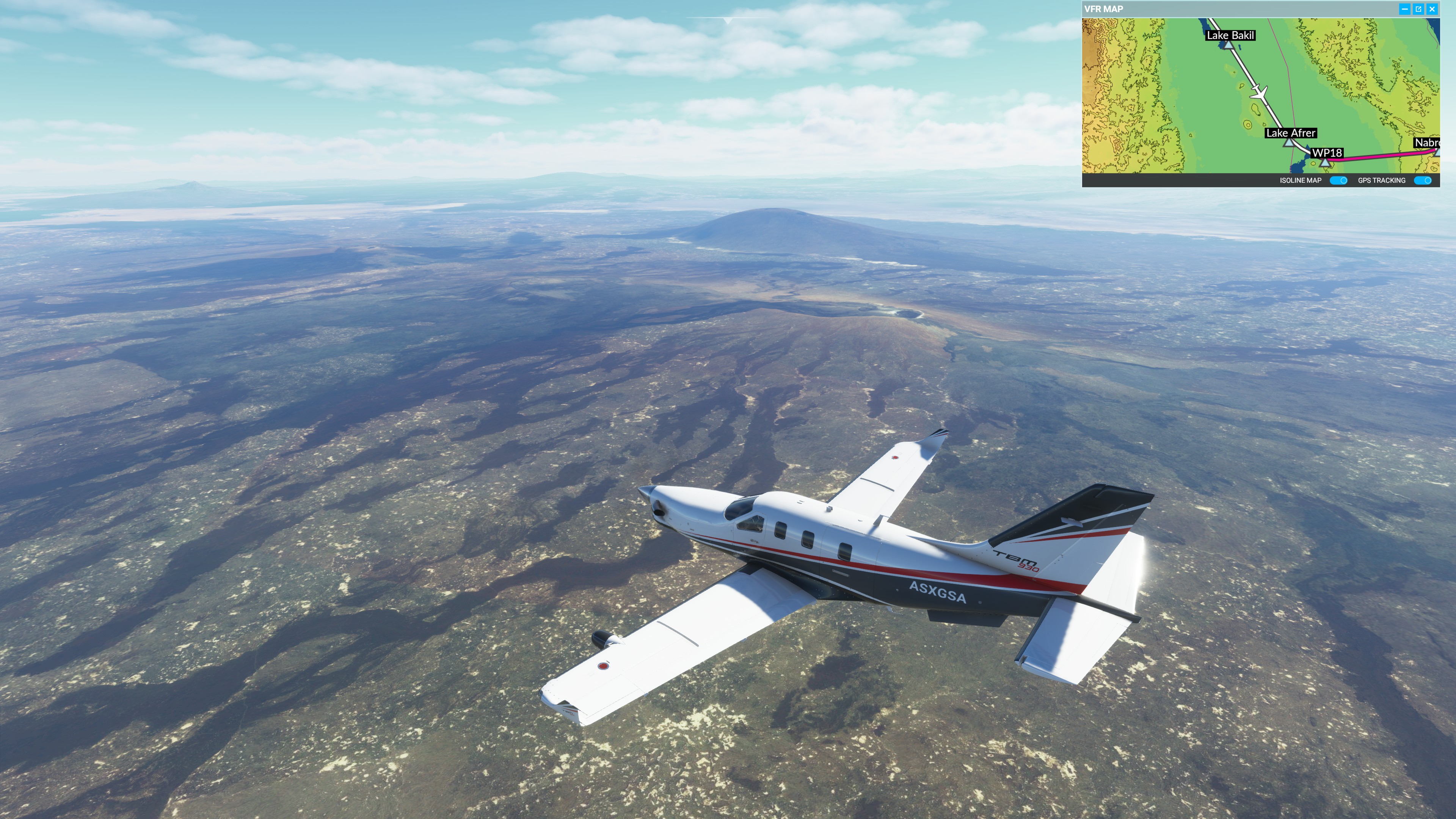
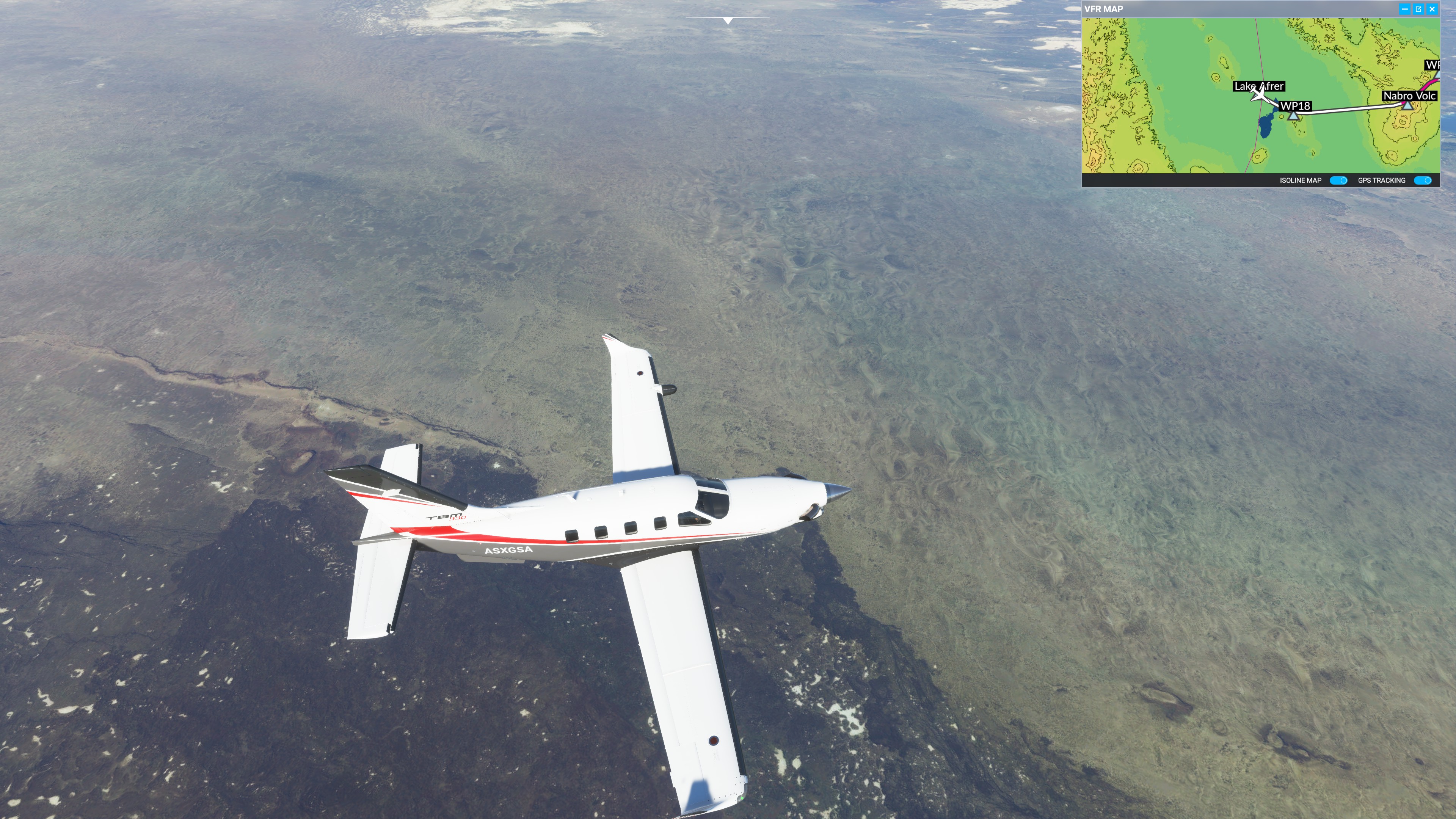
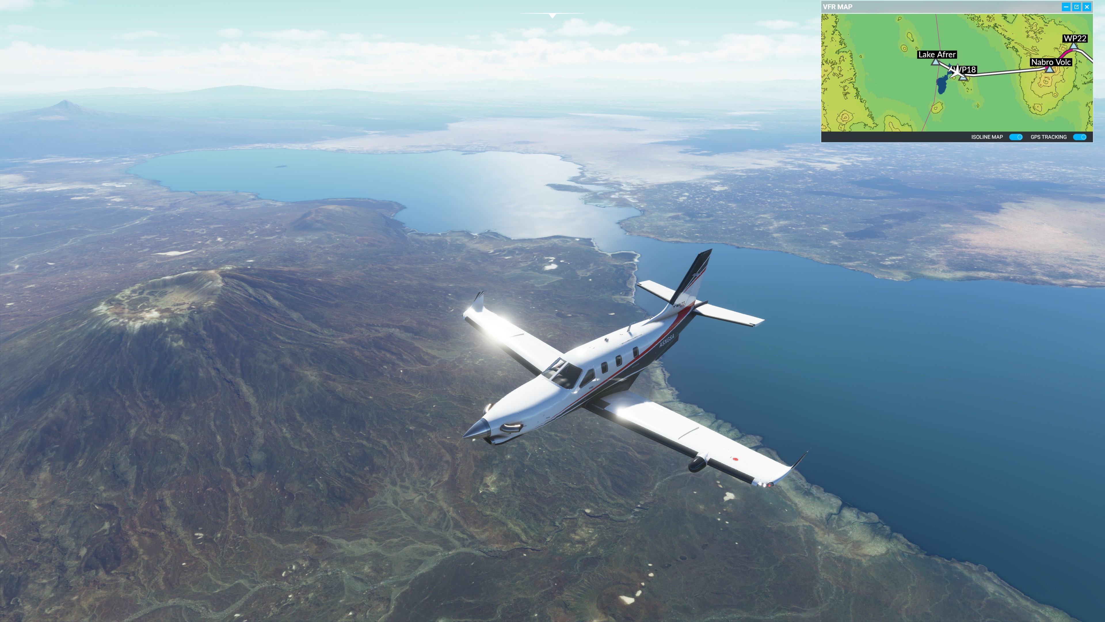
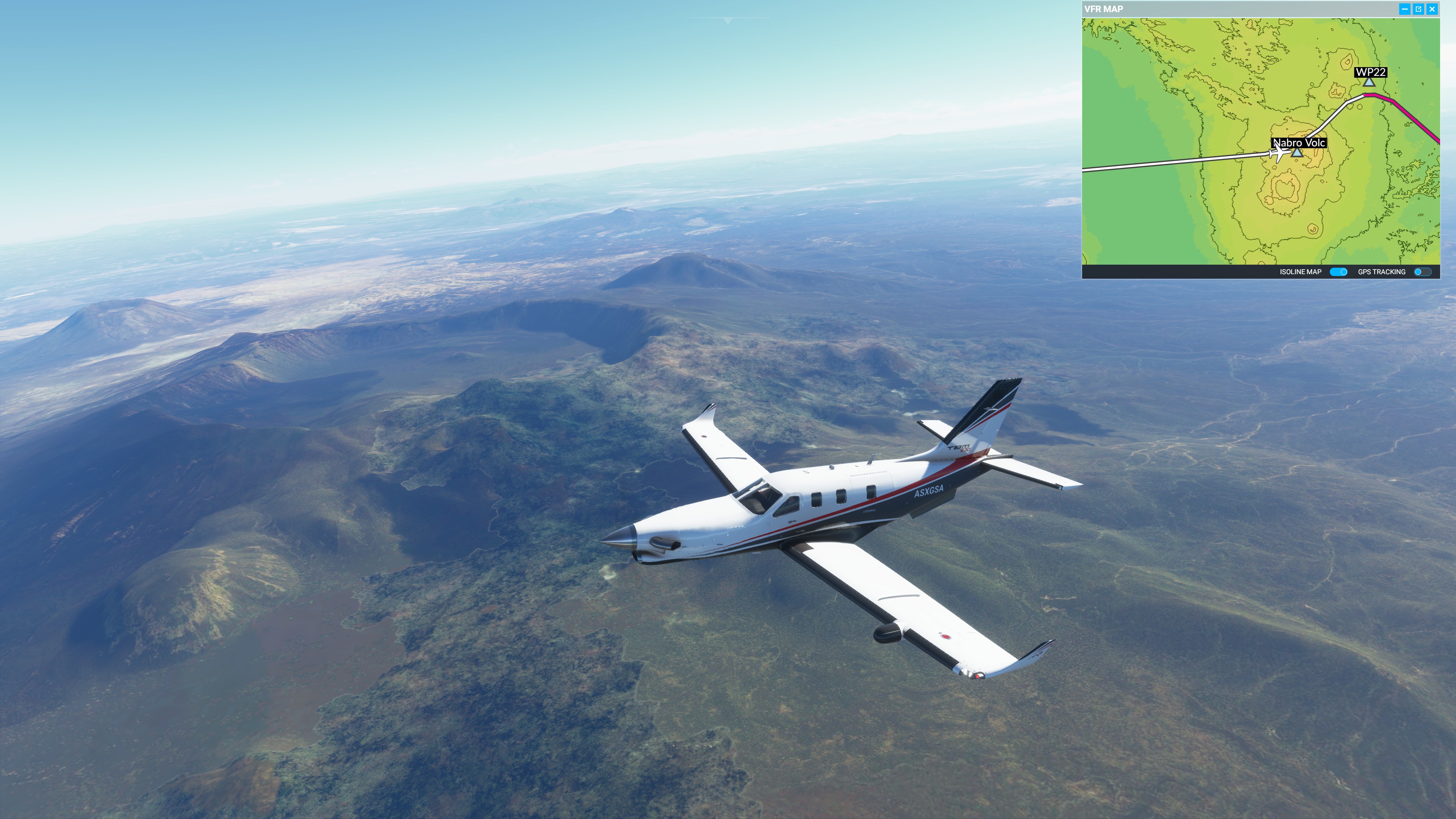
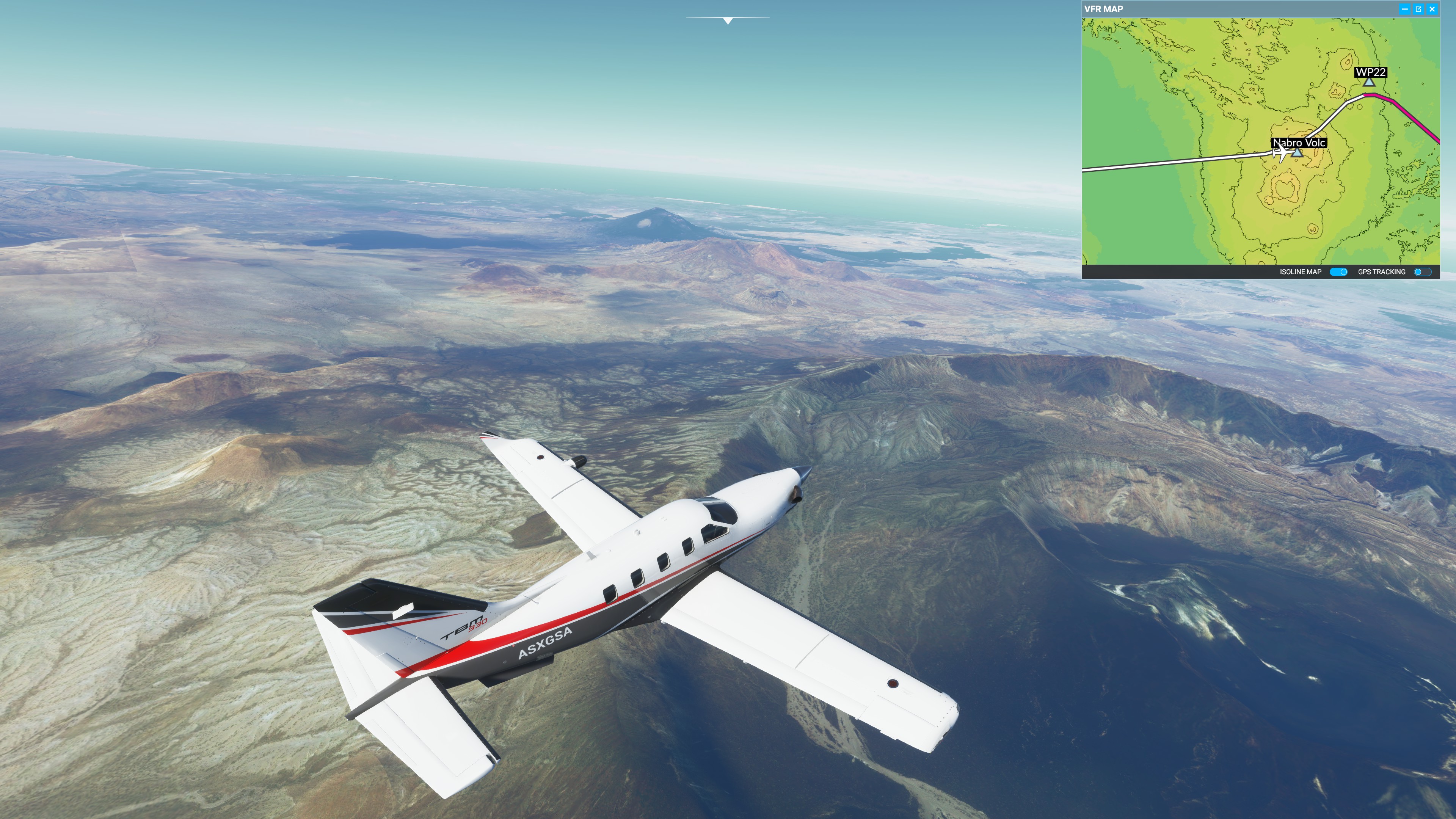
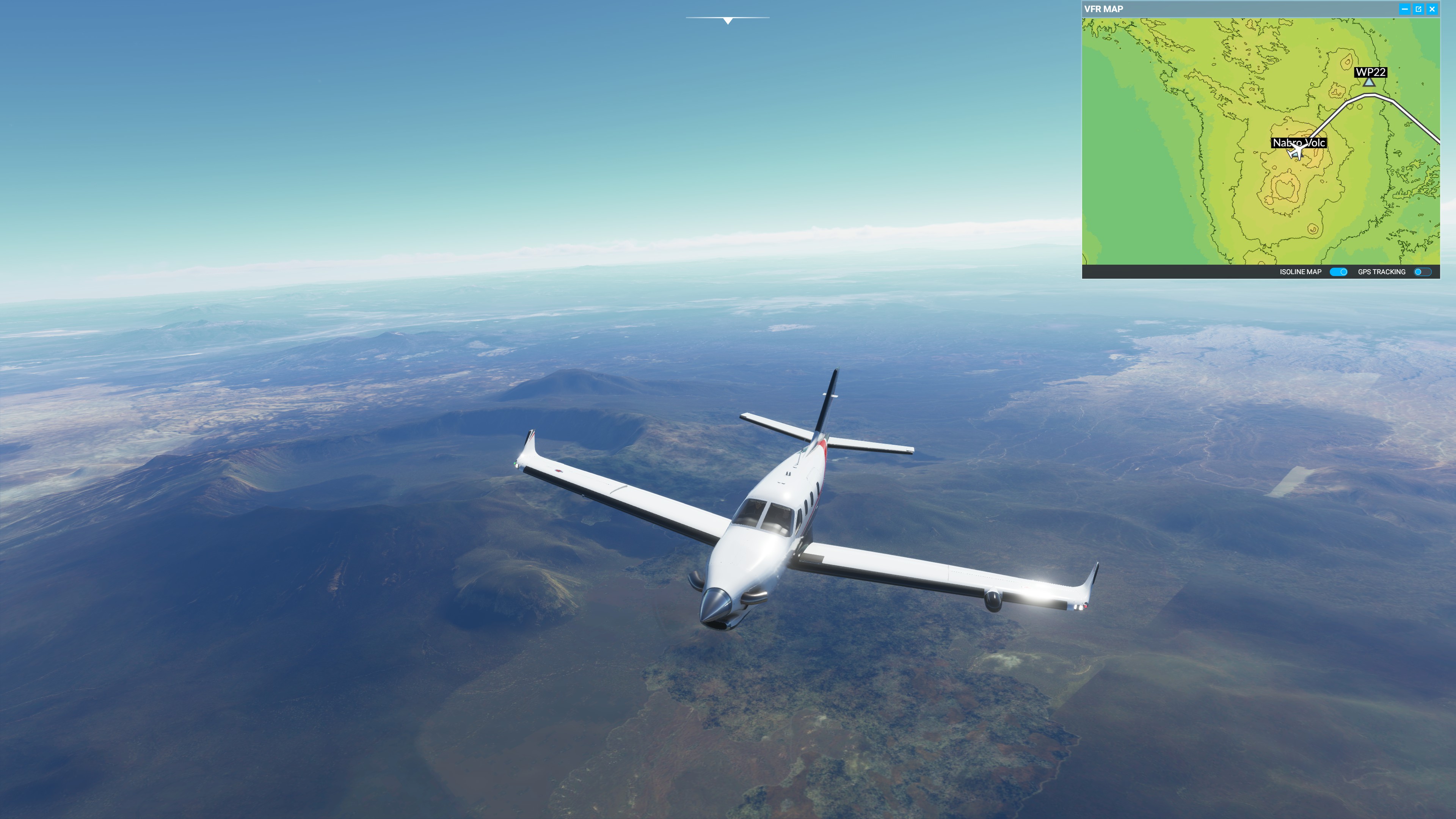
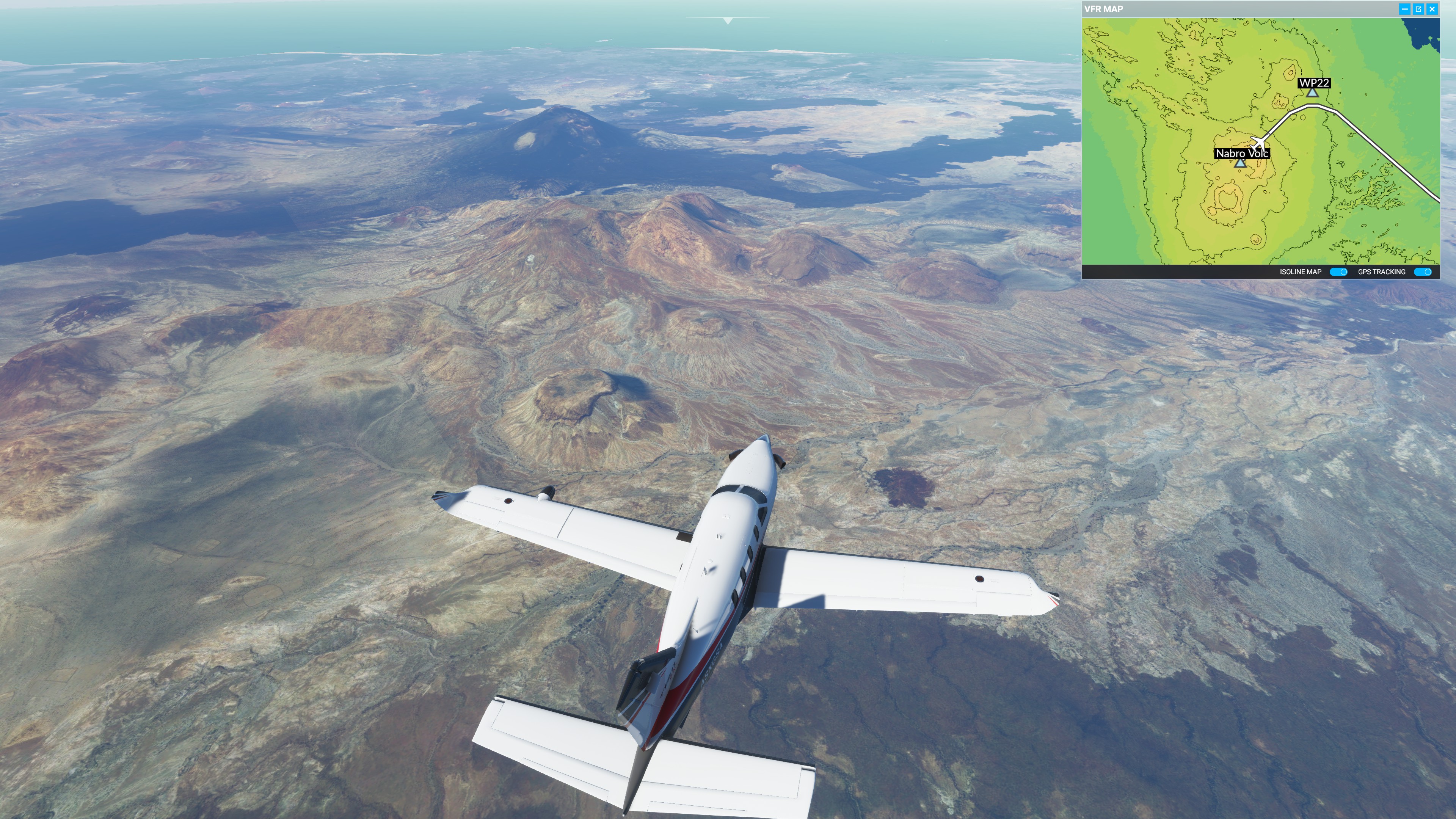
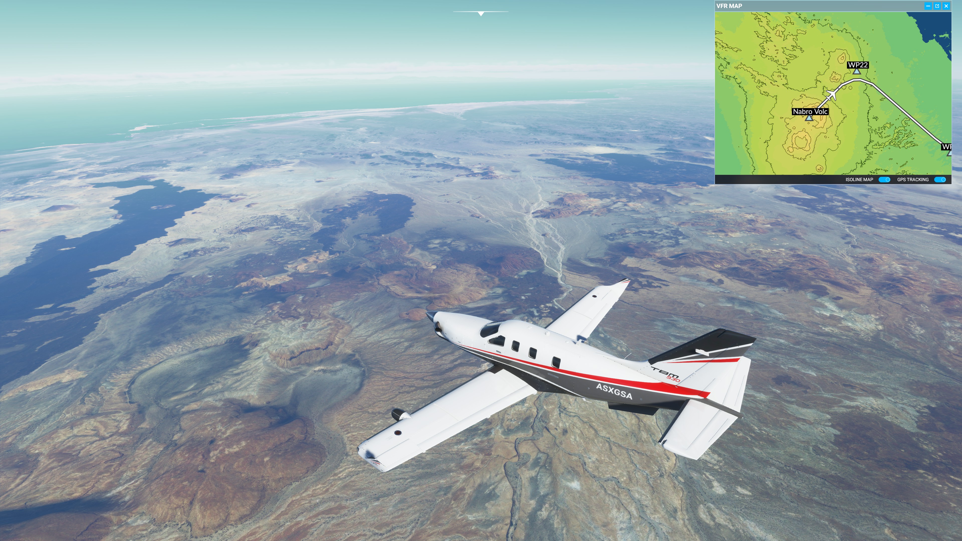
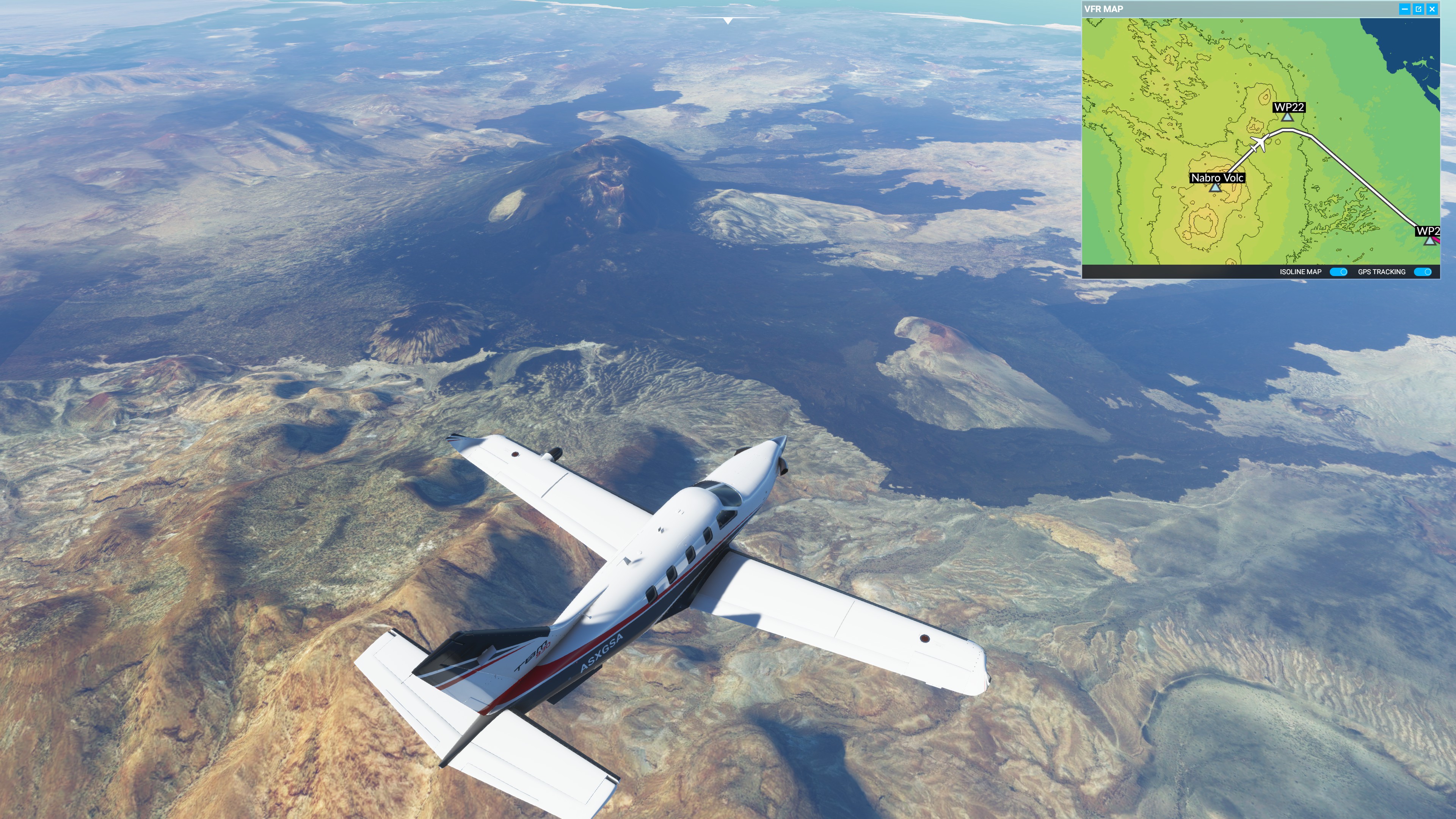
Now passing over Lake Afrera and then going off to Nabro Volcano:
Nabro Volcano:
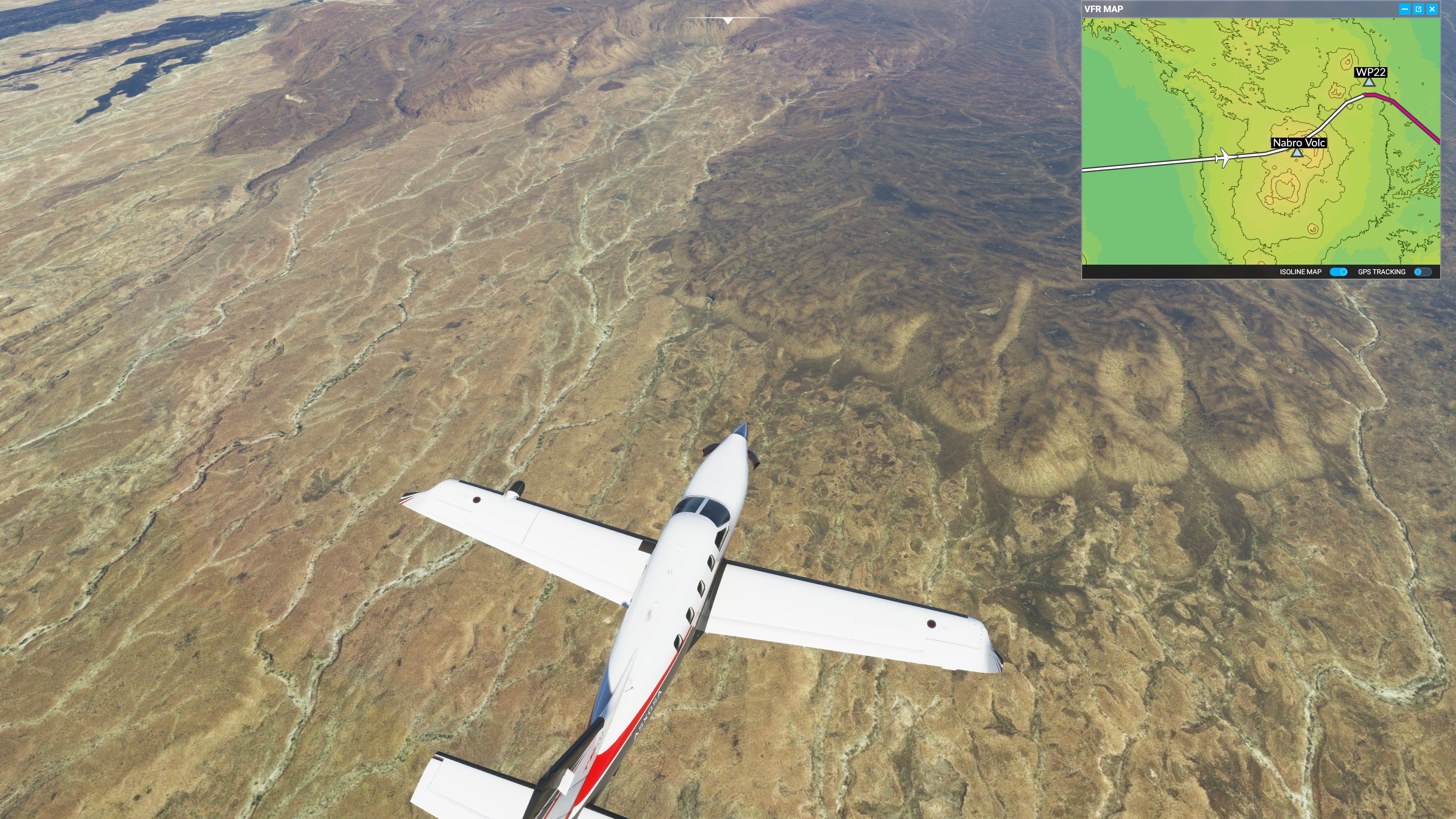
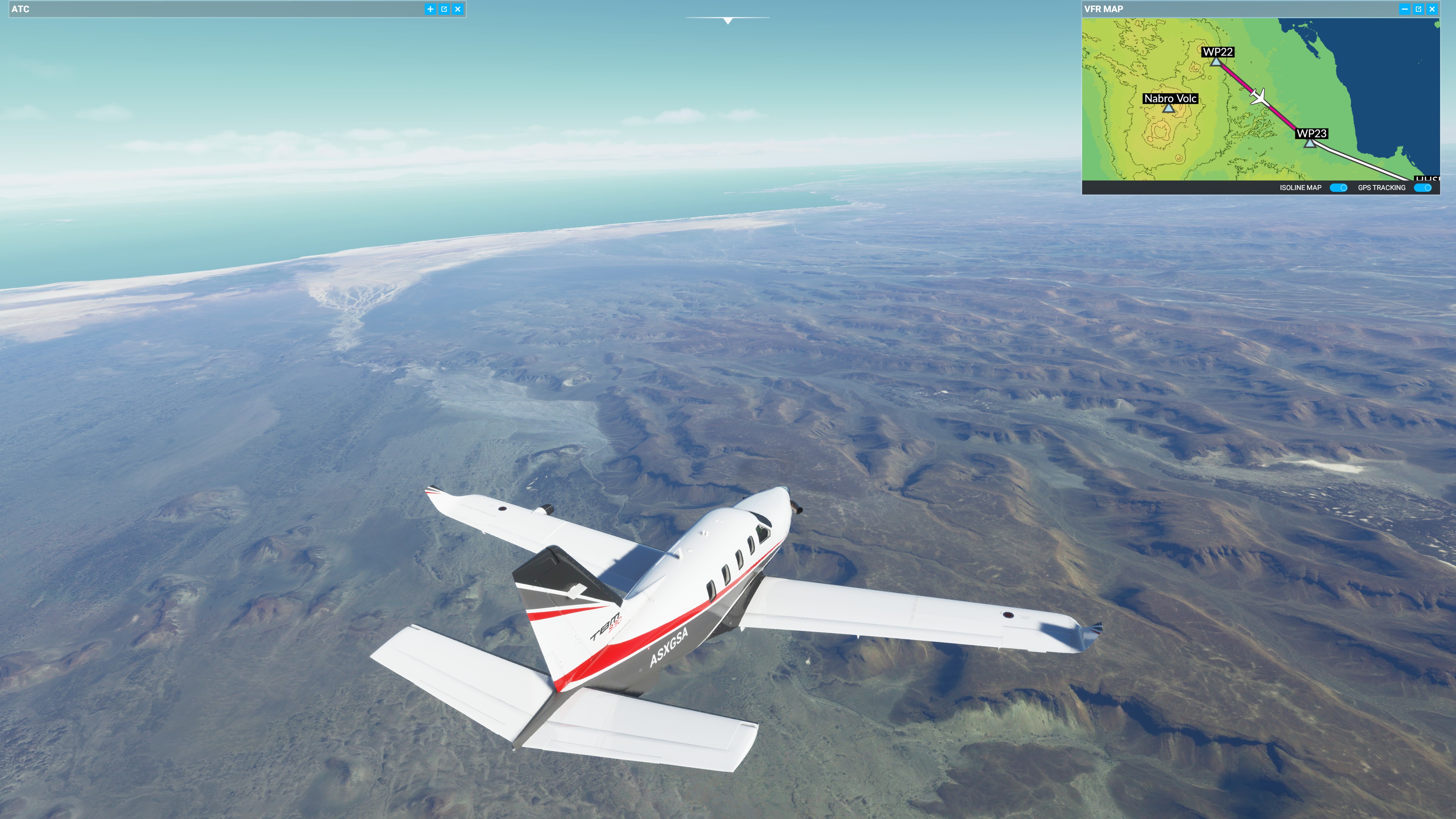
And some last pictures around before going to landing destination:
Soon to land on Assab airstrip:
Cheers!