I’ve decided to begin logging an around the world flight journey. Thought I’d sort of blog along the way, share pictures, etc. I don’t plan to just fly this non-stop since I fly some of the airliners as well and enjoy trying out different things but I thought it would be nice to do mostly shorter flights when I don’t have alot of time. I’ll be posting along in here. Hoping to post my first leg soon.
3 Likes
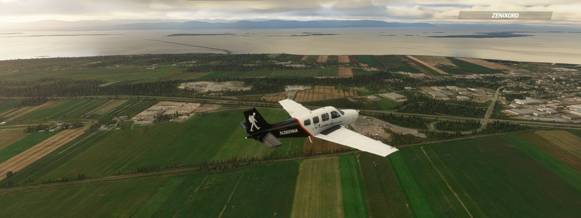
1ST LEG
CNP7(Iroquois, Ontario - Canada) - CZBM(Bromont, Quebec - Canada)
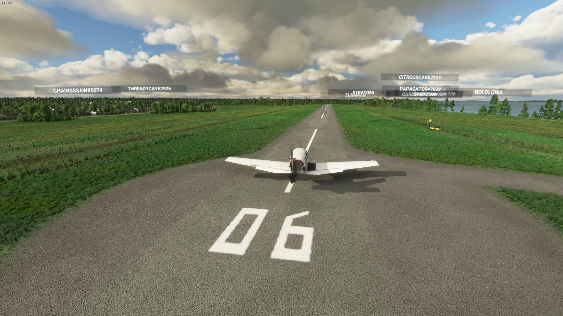
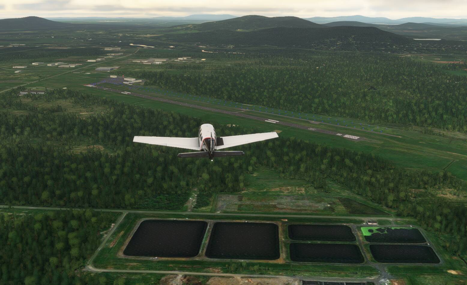
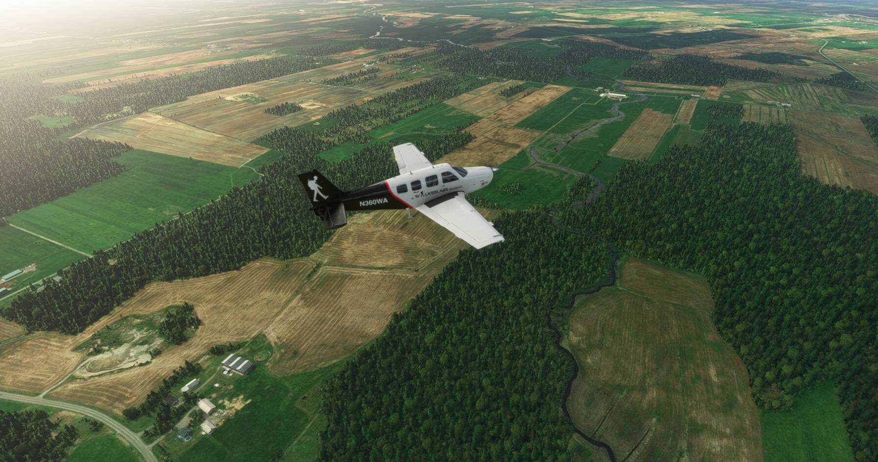
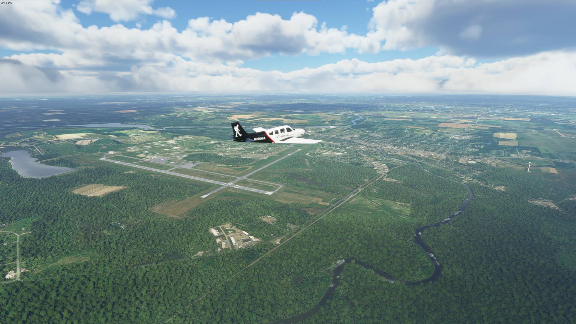
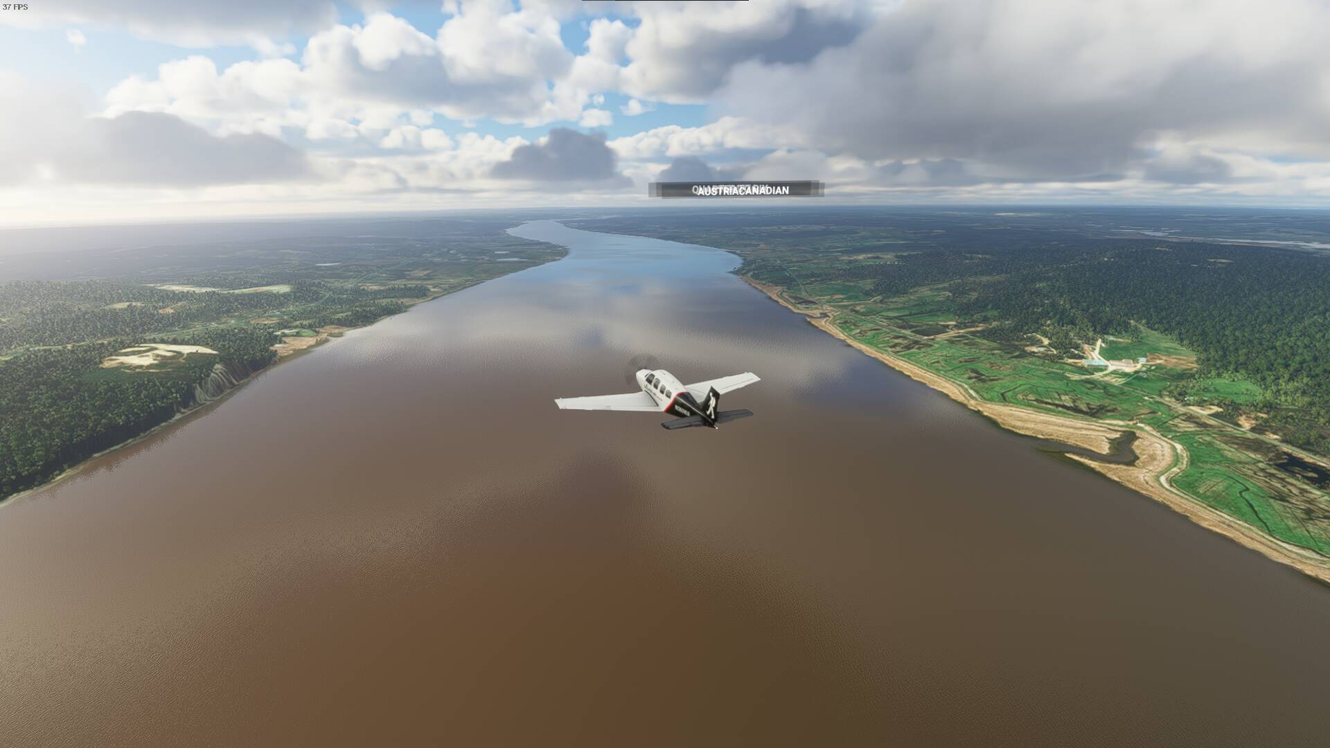
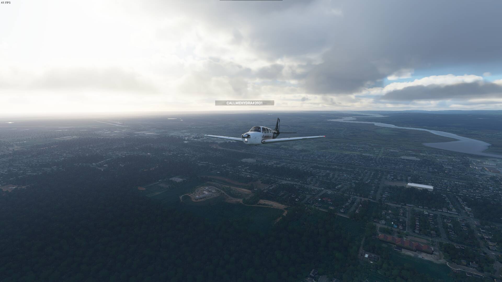
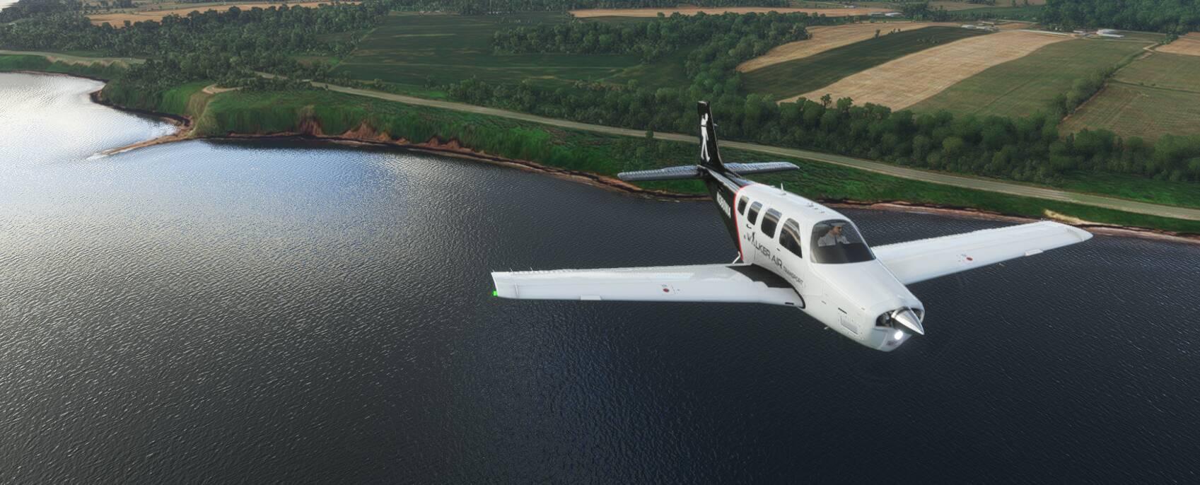
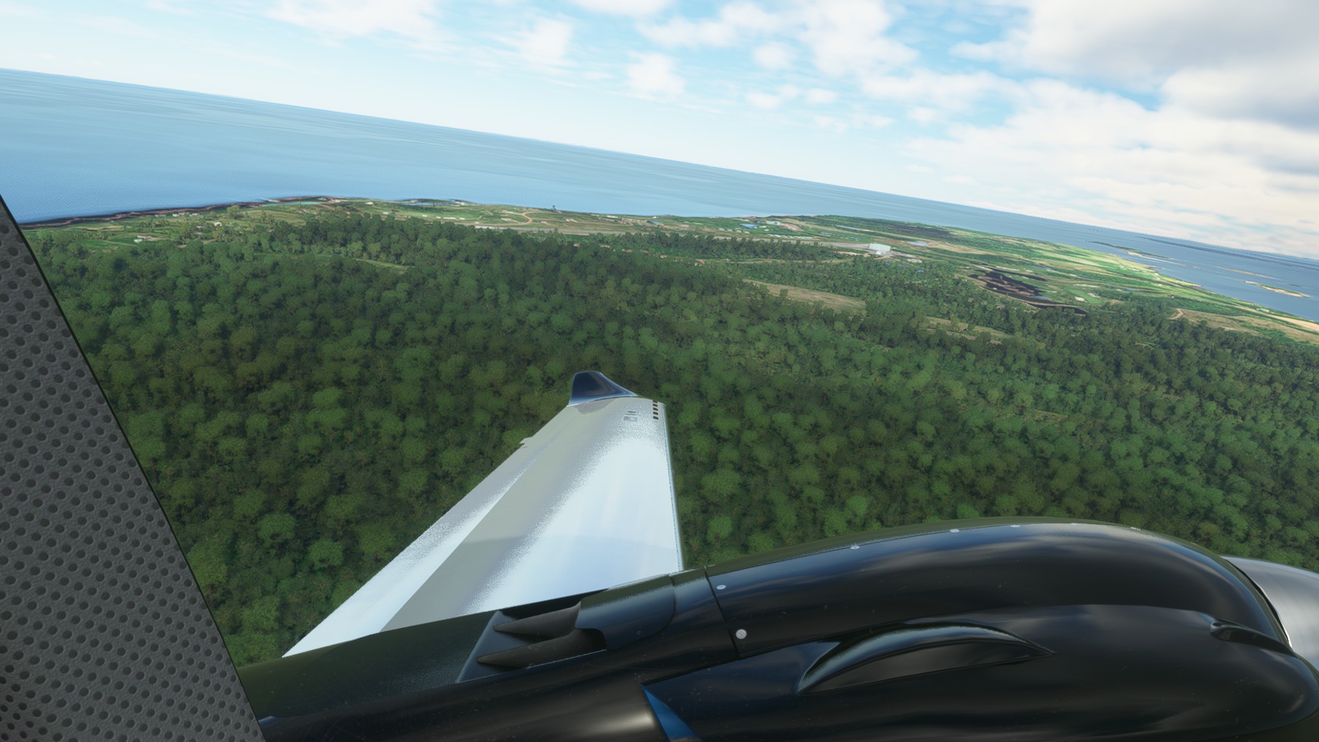
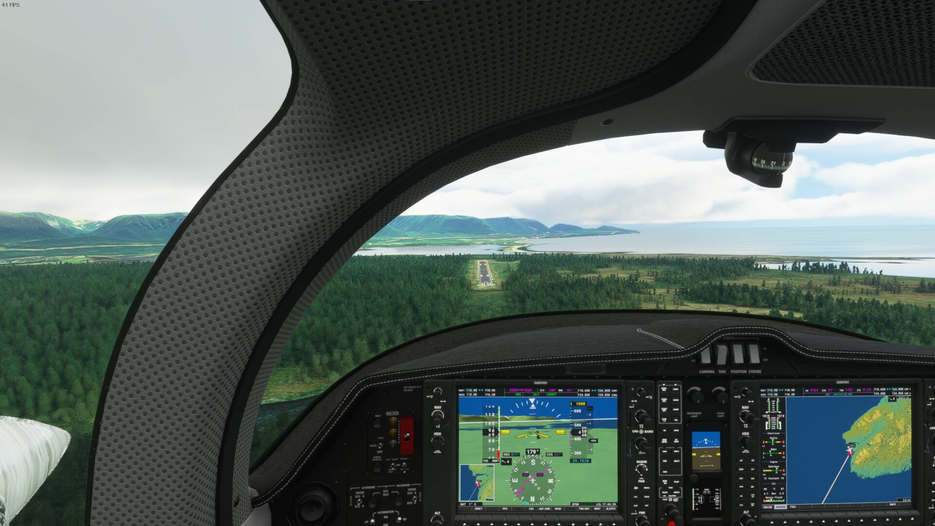
Took off from Iroquois Airport. It runs parallel to the mighty St Lawrence River. This section of the river is much wider than it used to be due to the fact that it was flooded to create a way for bigger ships to travel up to the Great Lakes. To the south is New York State(just across the river). You’ll also find the Adirondacks South East from this point.

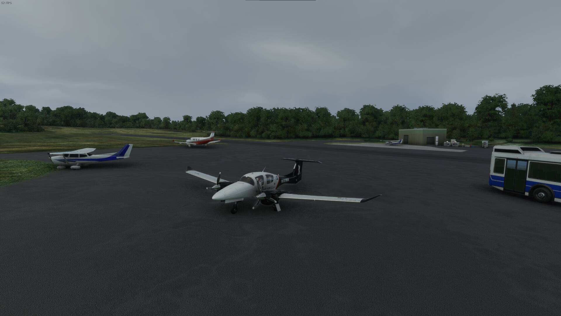
Taking off from Iroquois Airport.
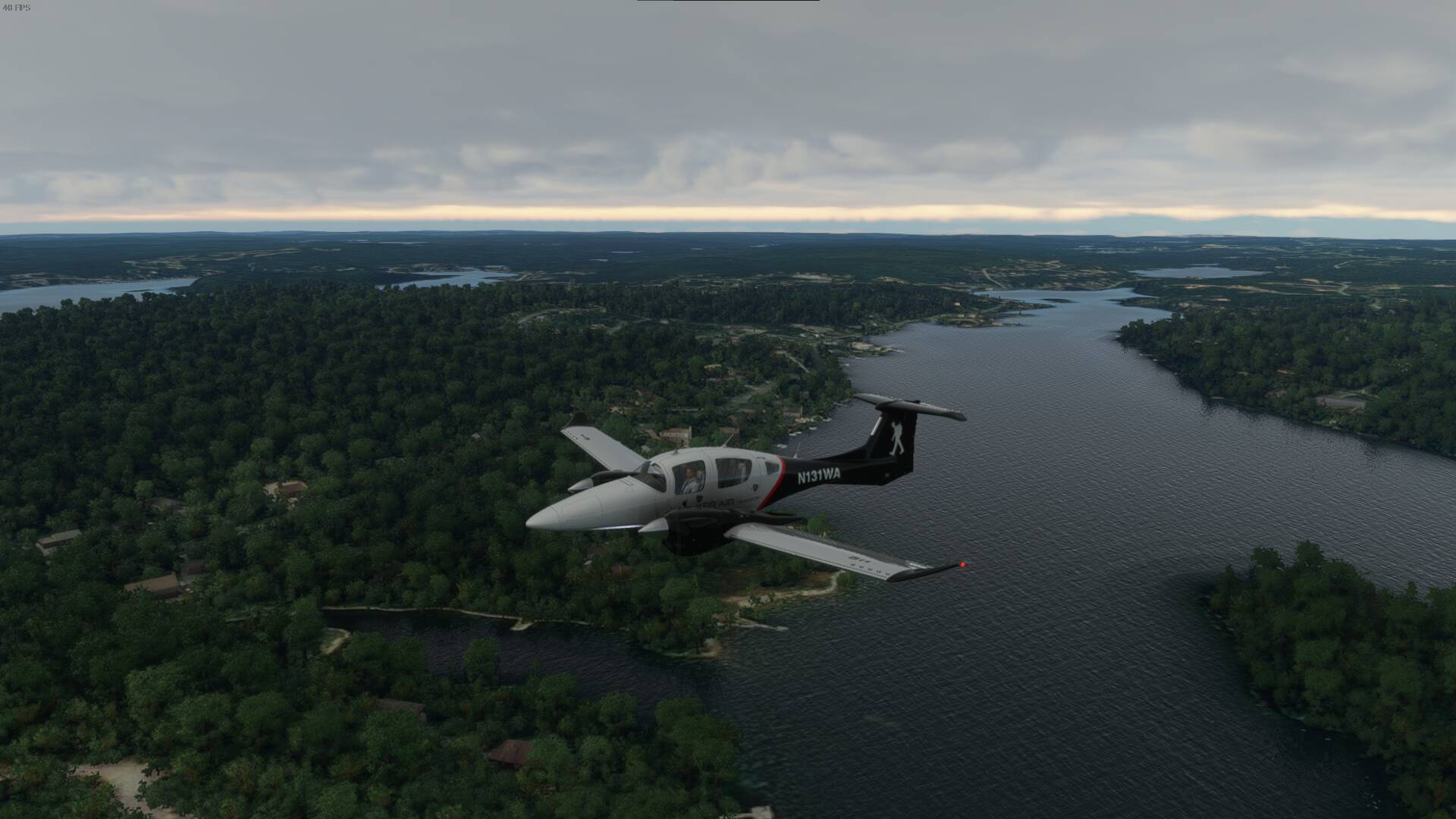
You can see the St. Lawrence River. Don’t worry, it will be getting even bigger. Iroquois(just behind the aircraft where you see the islands is also the last location of the lock system for the St Lawrence. Above it you find a river that is at the same height as Lake Ontario. In fact, sometimes you’ll find no noticeable difference between both sides of the lock. It can vary from a few inches to a few feet depending on the water levels.(the lock is between the two islands. There’s also a dam that goes across although it’s not really visible here.

Just a quick shot of Morrisburg, Ontario down river from Iroquois.
Pictured here is the War of 1812 history. The Battle of Crysler’s Farm(Battle of Crysler's Farm - Wikipedia). Beside it is Upper Canada Village and to the left the airport near Upper Canada Village and Upper Canada Golf Course(east of the airport).
Although it’s hard to see from this angle, you’ll notice that it looks like something extends down from that road(same direction as aircraft). That’s old Highway 2 which is indeed underwater now. The whole area is known for it’s Lost Villages(https://lostvillages.ca/). A lot of foundations, roads and even an old railroad bed can be seen when flying or kayaking over. There’s even old patio stones, an old lock system and a bridge underwater as well. Oh and an old factory or something that divers go down to from time to time.

Remnants of the old lock system in Cornwall below the big dam in that area.

Border crossing on the Canadian side leading to Akwesasne territory and then to the US side in Massena, NY.

Just a shot on the way(a little east of Cornwall, Ontario).

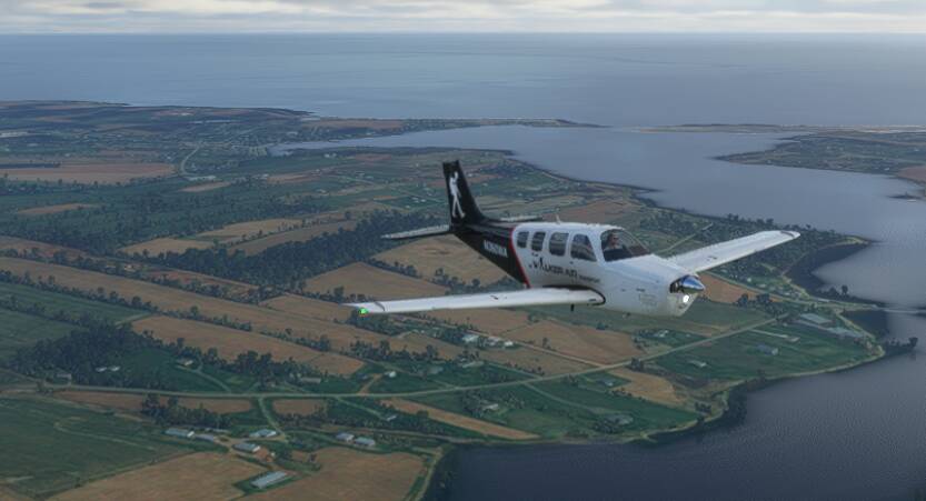
Lake Champlain to the south. There’s rumours of a monster in the lake there too. It’s huge(the lake I mean). The edge of the lake begins in Southern Quebec and then extends into Vermont. The Adirondacks are located to the West of it and the Appalachians to the East.
Then you have these strange hills that sit in farmer’s field areas. I guess it has to do with an ancient volcanic field. You can read more about one of the hills here: Mont Yamaska - Wikipedia

And now you can begin to see the start of the Appalachians.

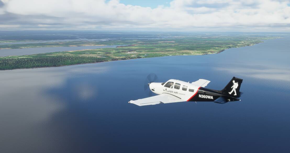
Bromont, Quebec. Our stop for today. It’s near the community of Bromont and its ski hill and it’s also near Granby, Quebec which is known for the Granby Zoo.
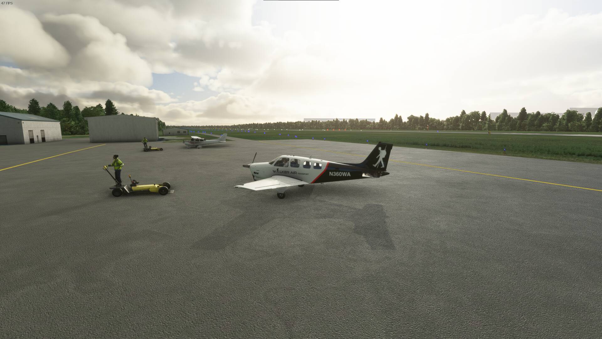
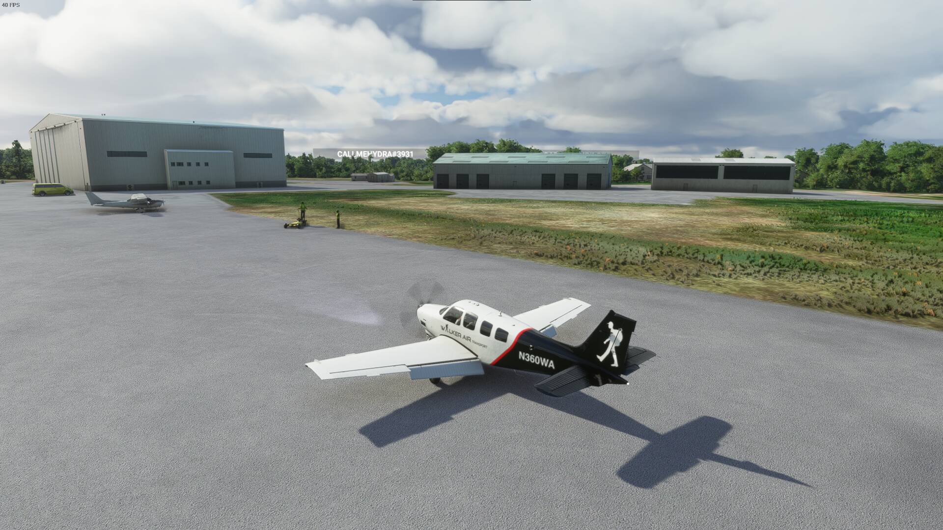
Parked for tonight.

See you next time as we travel eastward towards the East Coast of Canada.
3 Likes
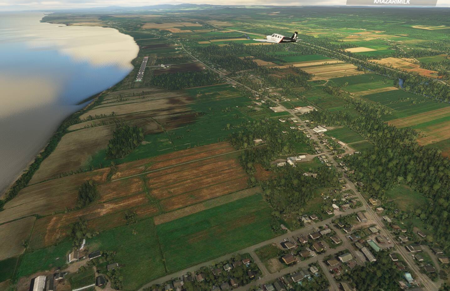
2ND LEG
CZBM(Bromont, Quebec - Canada) - CSE5(Montmagny, Quebec - Canada)
The 2nd leg starts where we left off on the last flight, in Bromont Quebec. This time we’ll be taking a flight in a northeastern direction, headed to Montmagny, Quebec.
A final look back at my first stop on my tour.

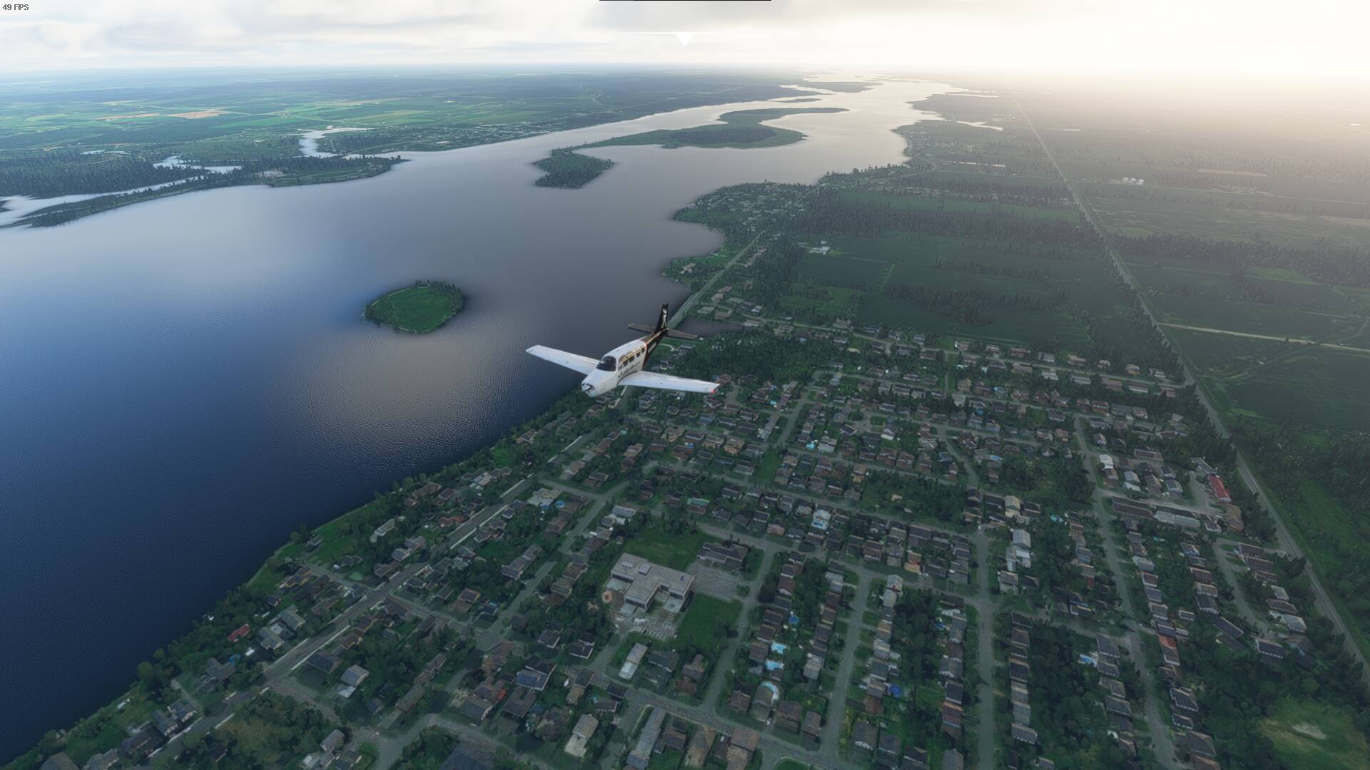
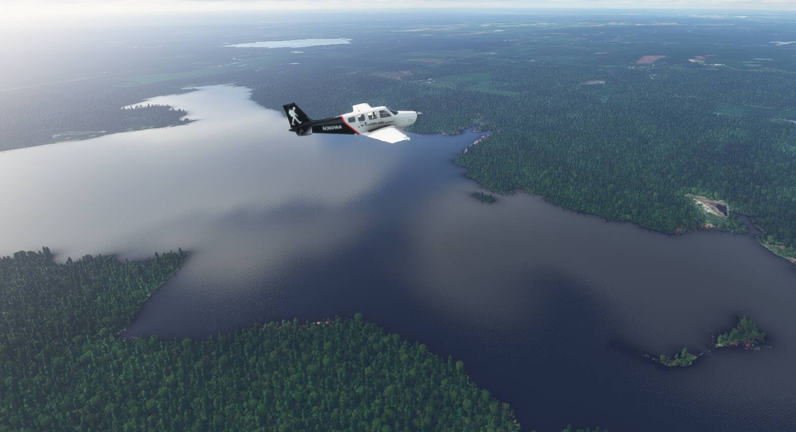
A beautiful shot of a lake below. Canada is well known for its fresh water lakes and rivers.
A neat picture from the ground. You can barely make out the aircraft above.
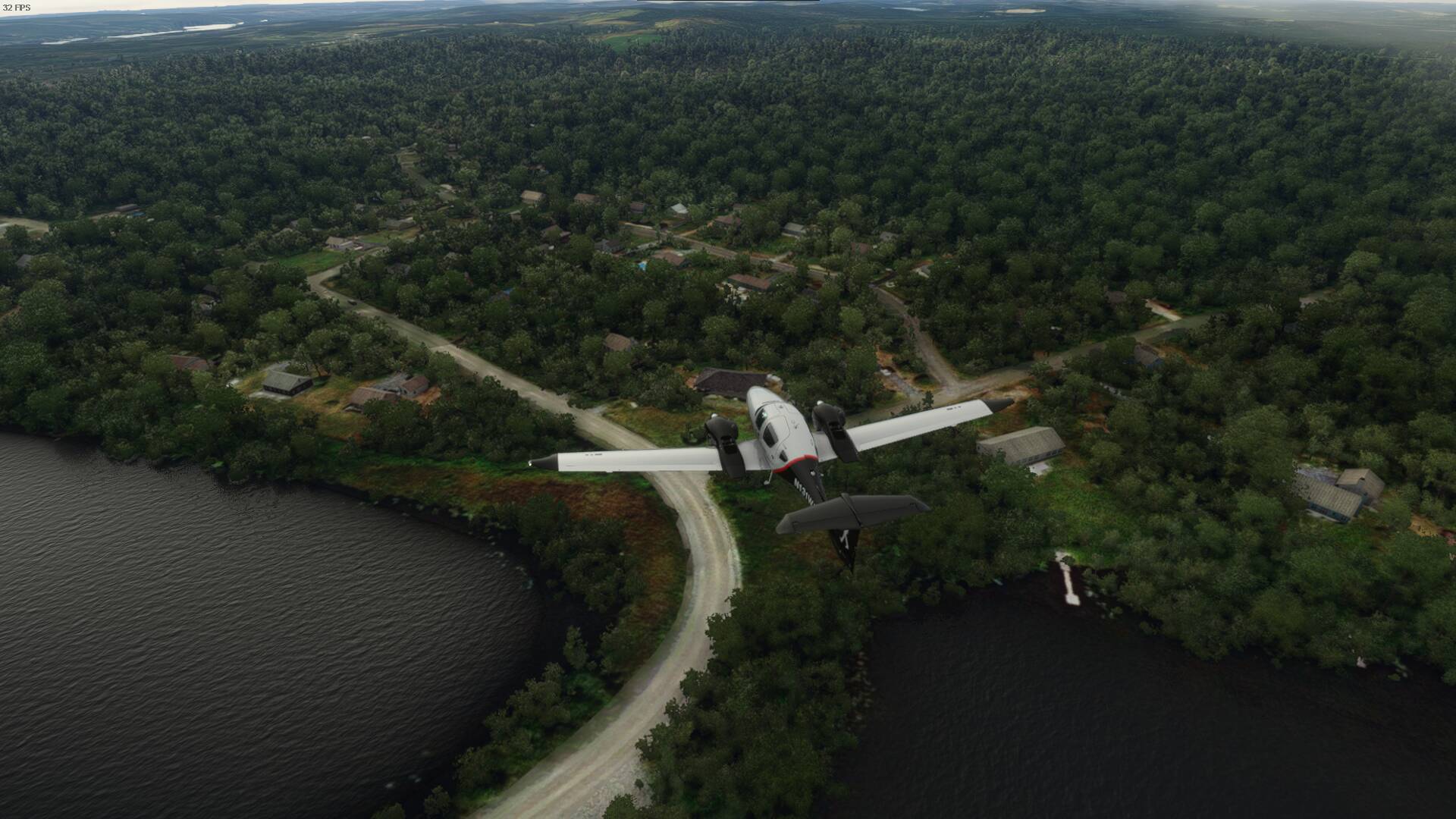
Another neat thing you can enjoy flying over Canada are some of the interesting patterns you’ll see, especially over farmlands.
Canada is really known for its natural resources like lumber, precious metals, etc… The trees can go on for miles and miles, especially when you make your way north where the population drops. Did you know that most of Canada’s population actually lives within 100NM of the Canada-USA border.

Where there are hills, there is wind. Just another wind farm in Canada.


All you can see is the lights from the end of the runways but that’s Quebec City towards that direction.
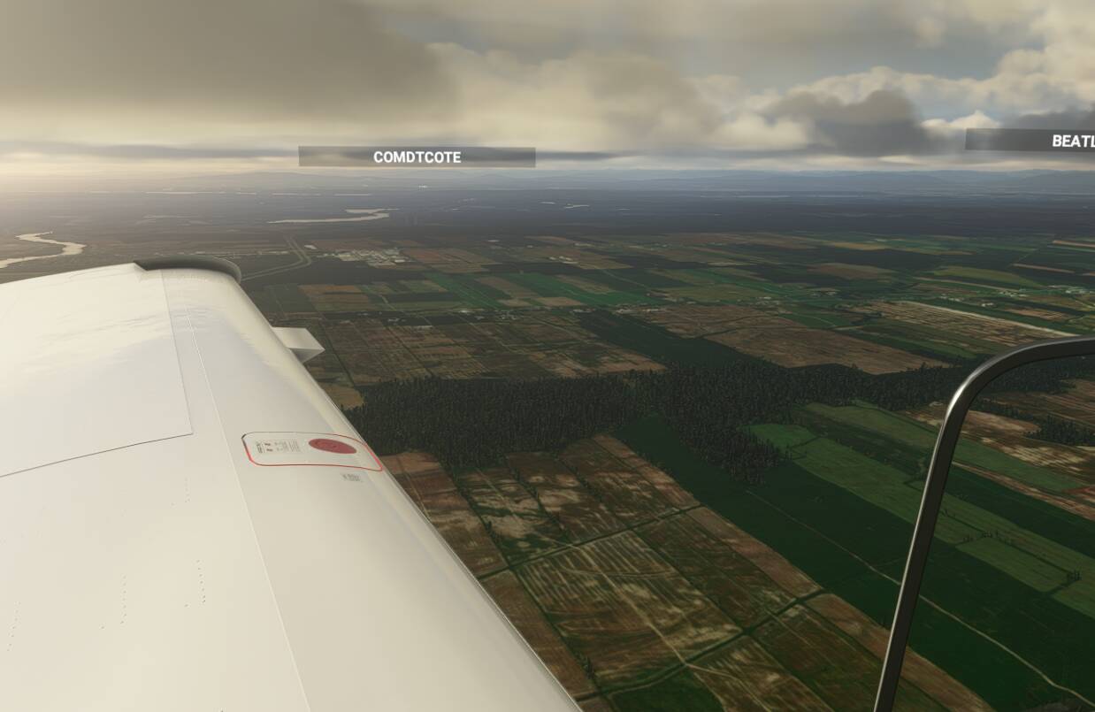
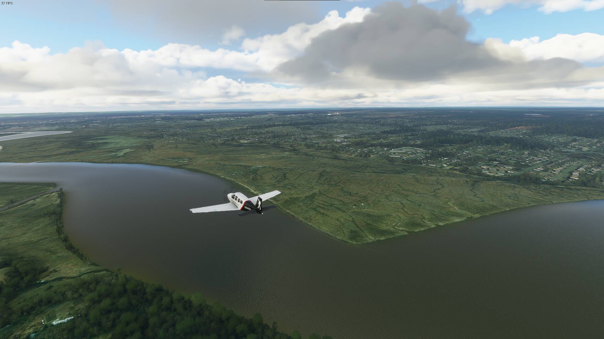
A lot of small farmland communities spread over the area near the St. Lawrence. While you can’t see the river yet it’ll be coming up soon.
Just east of Quebec City is where the St Lawrence really starts to widen. Eventually we’ll see the Gulf of the St Lawrence although you’ll have to settle for a wide river today. You can see the river, where it widens, in the distance.
A little closer to the river and our destination.
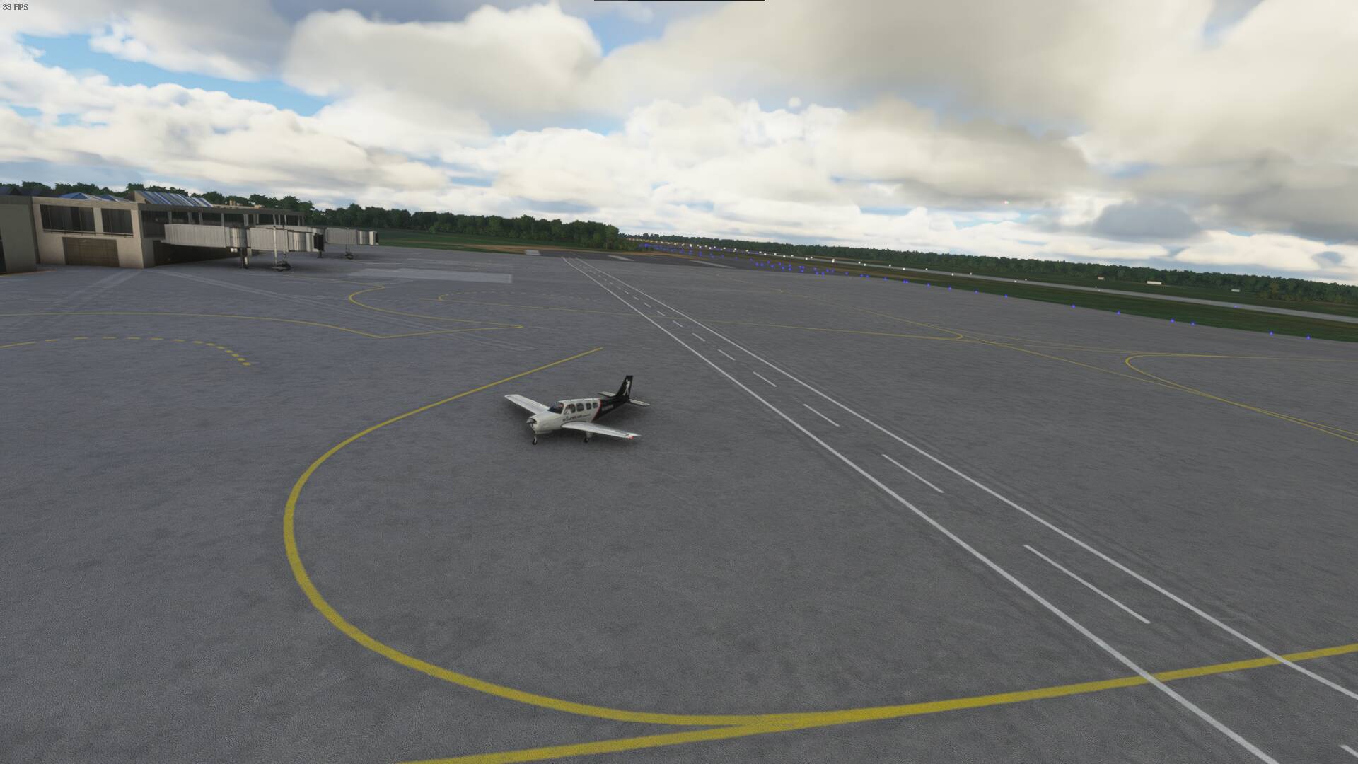
Our destination for today, Montmagny
2 Likes
3RD LEG
CSE5(Montmagny, Quebec - Canada) - CYQM(Moncton, New Brunswick - Canada)
Finally time for the third leg after a week spent in Montmagny. This planned leg will take me across a big portion of the eastern geography towards the Bay of Fundy. Moncton is a beautiful area with the Bay of Fundy just down the road. If you take a trip there, make sure to go to Hopewell Rocks where you can witness the highest tides in the world.
Here I am leaving Montmagny.

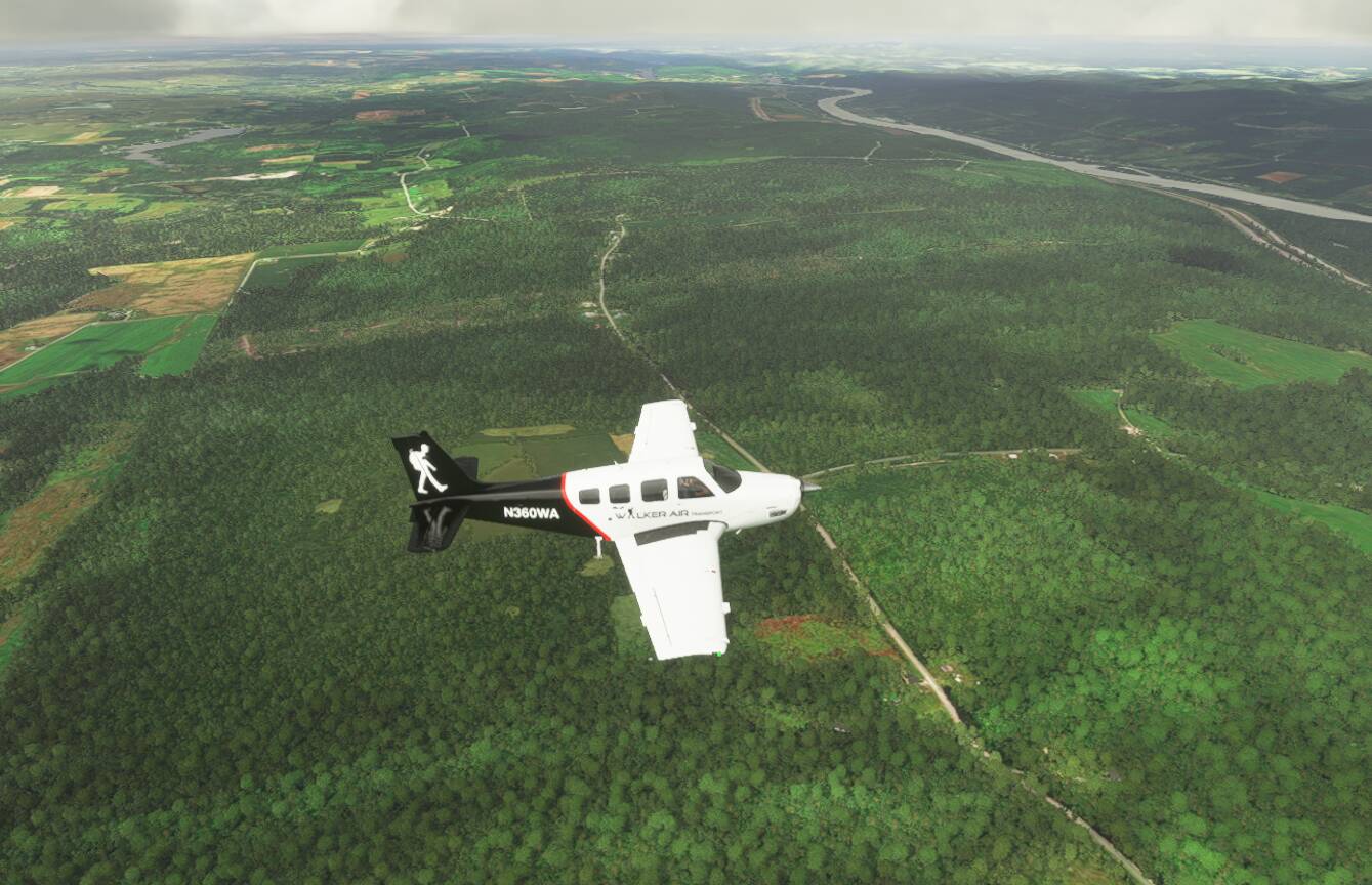
It doesn’t take long to get into hilly terrain as I leave the St Lawrence River behind.

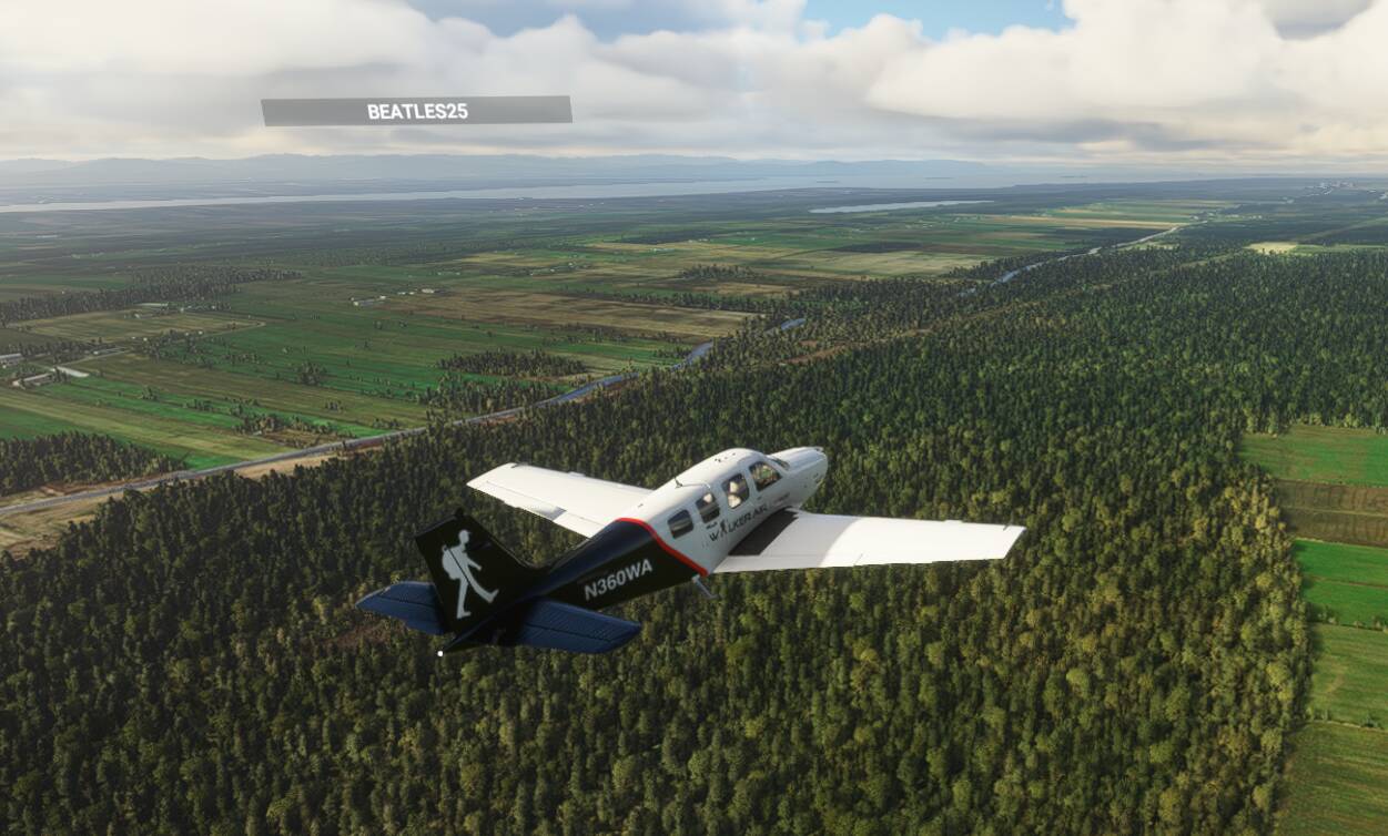
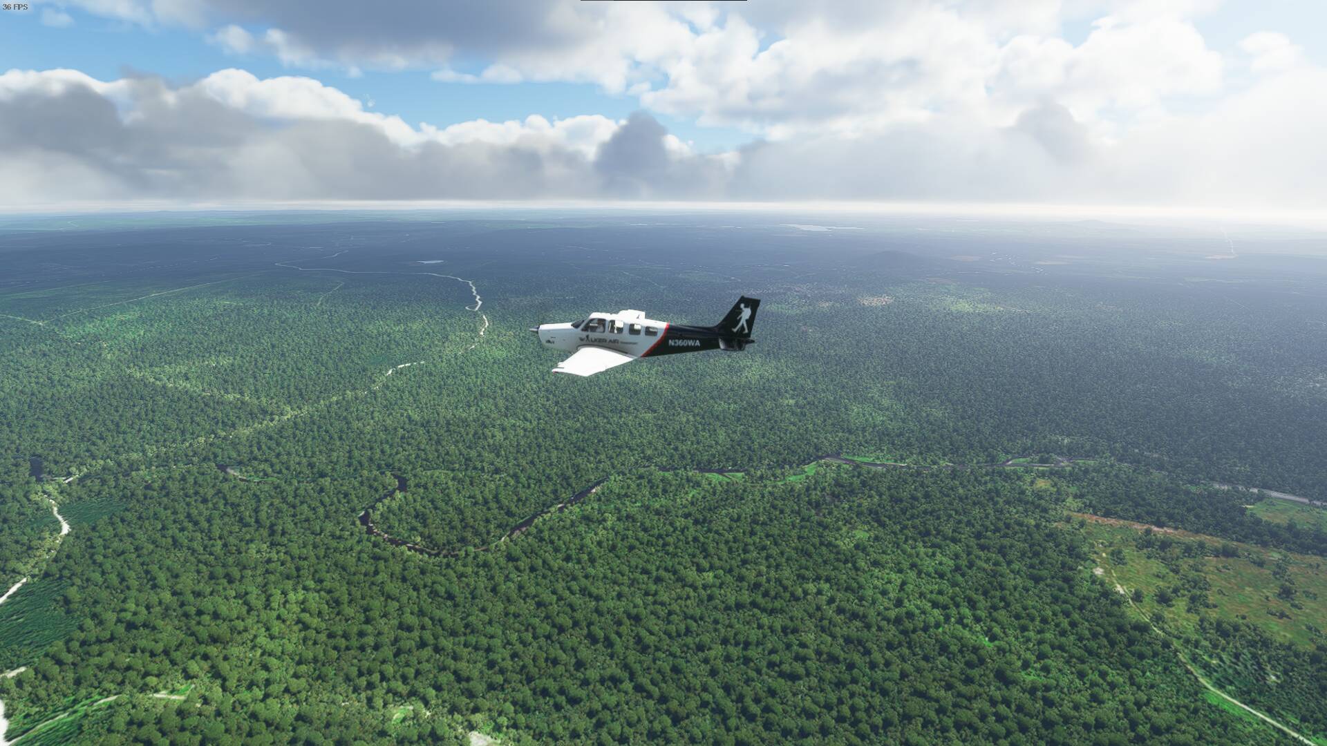
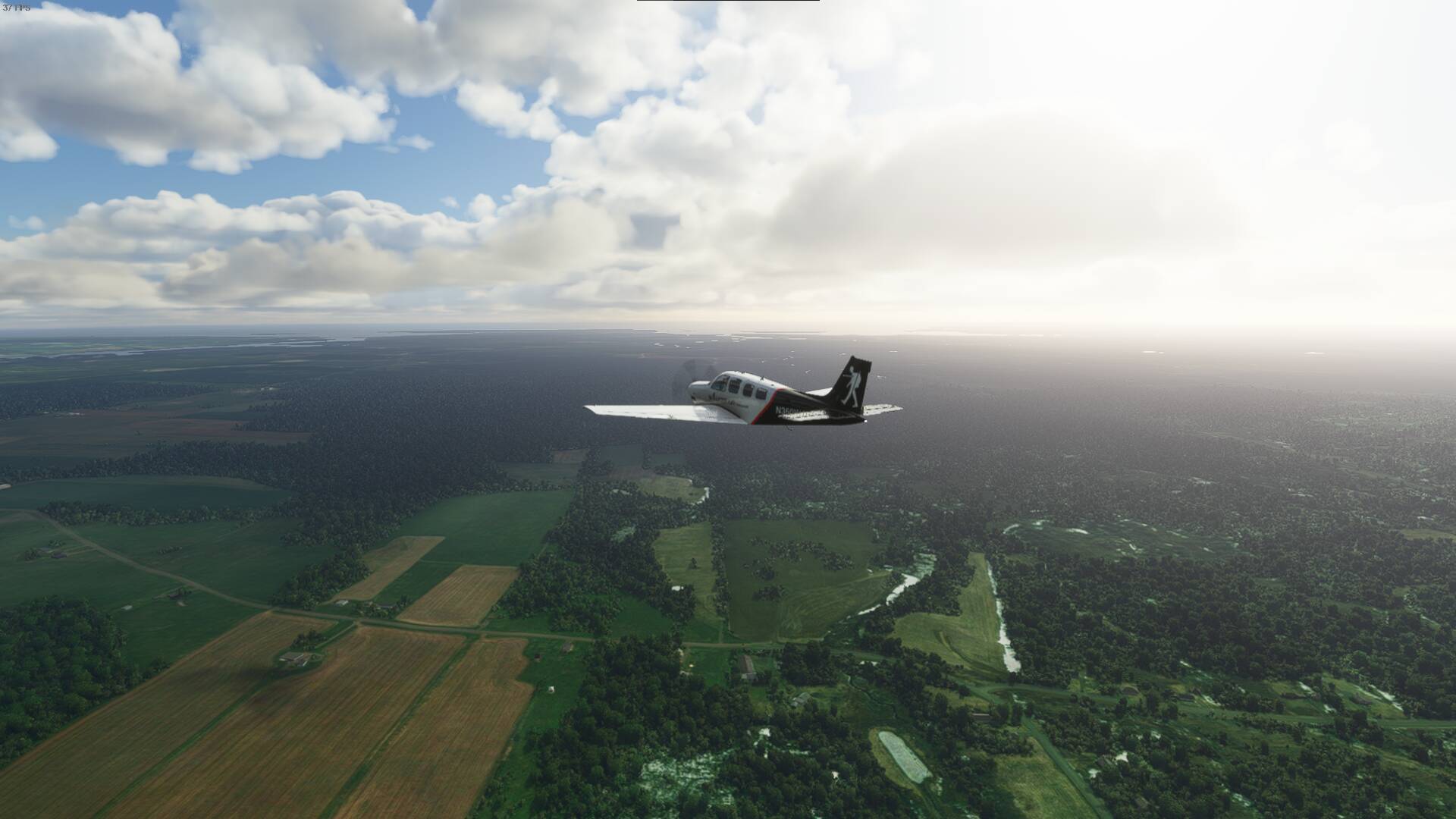
A little flatter again until I hit some of the Appalachians. A lot of wooded areas as well. Quite a lot of crown land that has barely been touched by humans in this area.

You wouldn’t know it from looking down but I’m just crossing into Maine right now to shorten the distance to get to Moncton. Just forests for miles.
Believe it or not, this is as hilly as it will get. The section of the Appalachians that I’m crossing doesn’t have a huge range of hills or mountains. It’s pretty tame across this area.

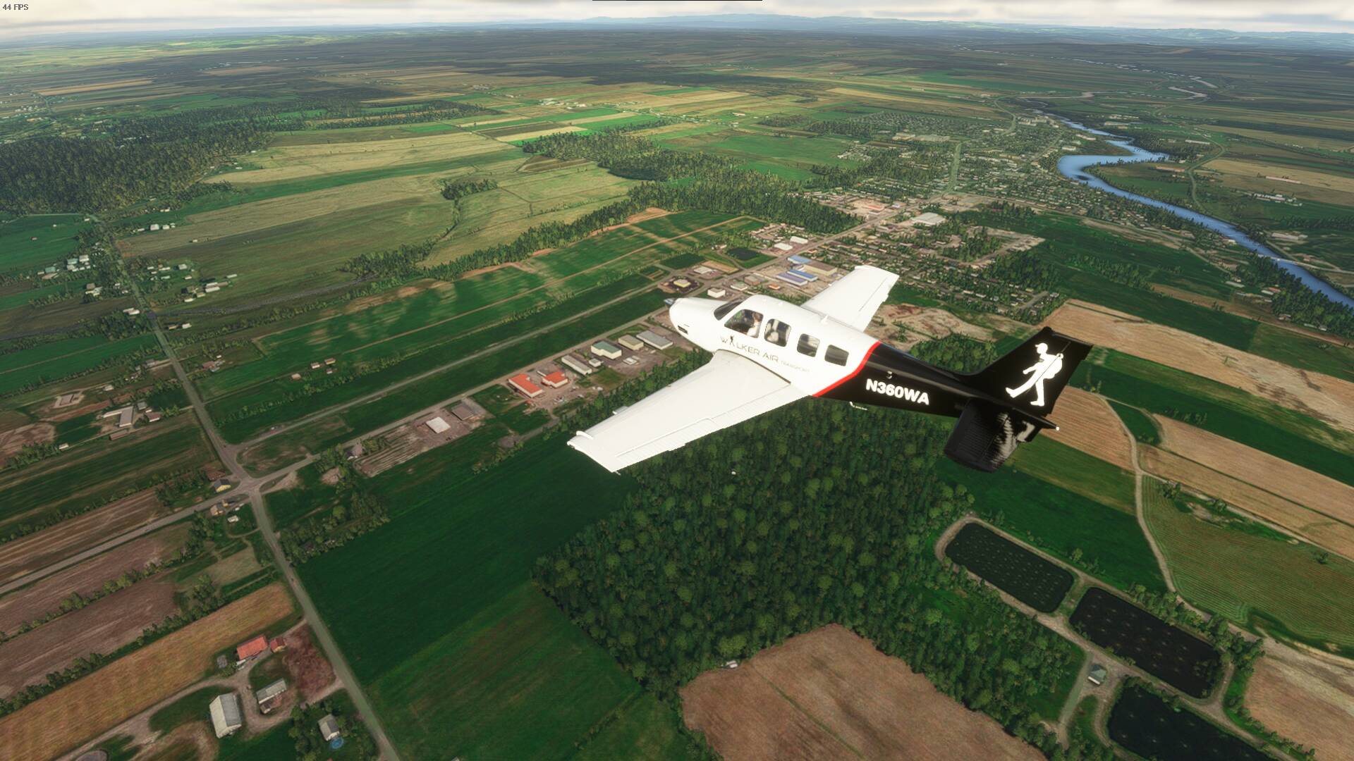
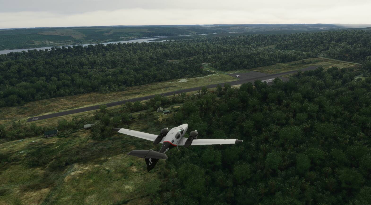
Presque Isle International Airport below. This is one of the last communities before we are back in New Brunswick, Canada.
And over the border we go again.
Getting close to the bay. Will swing by Hopewell Rocks for a picture and then head to Moncton.
Another shot as we approach.
Unfortunately not much to see. The tide must be high(or the modelling isn’t great). Here’s some pictures if you’d like to look it up: Tourism NB – Hopewell Rocks | The official site for the Hopewell Rocks on the Bay of Fundy

As we head back towards Moncton to land, it’s interesting to note that this part of the Bay of Fundy that runs up to Moncton may look filled with water right now, but a good portion dissapears when the tides are low. It’s quite amazing to see.
Approaching Moncton.
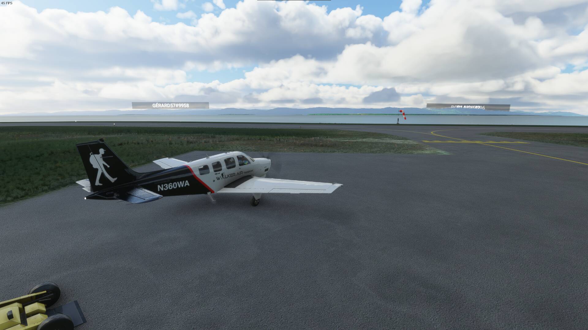
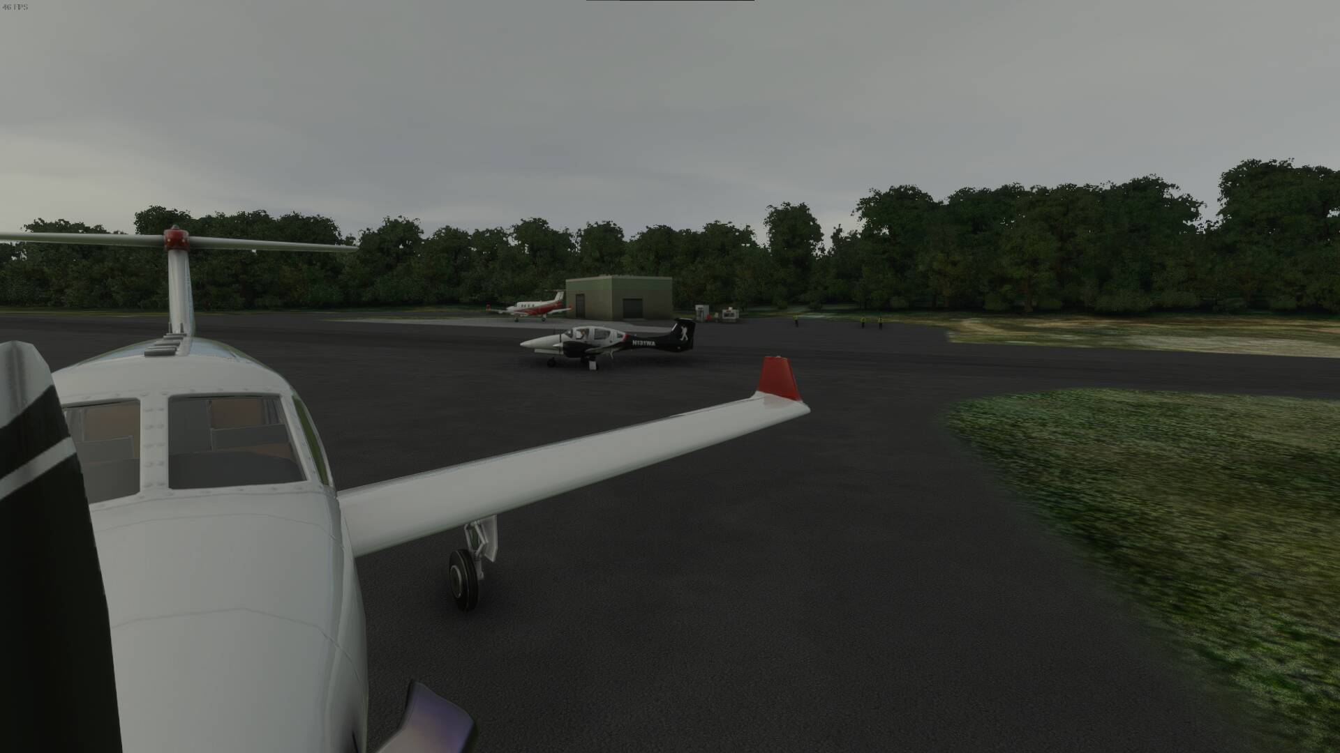
We’ve arrived and parked for the night.
4TH LEG
CYQM(Moncton, New Brunswick - Canada) - CDY6(Bridgewater, Nova Scotia - Canada) (Diverted to CFH4)
Time for another flight. This one will bring us over Prince Edward Island. Then off to the east coast in Nova Scotia. We might even catch a glimpse of the Blue Nose 2.
Leaving Moncton.
Heading away from Moncton, North, towards Prince Edward Island.
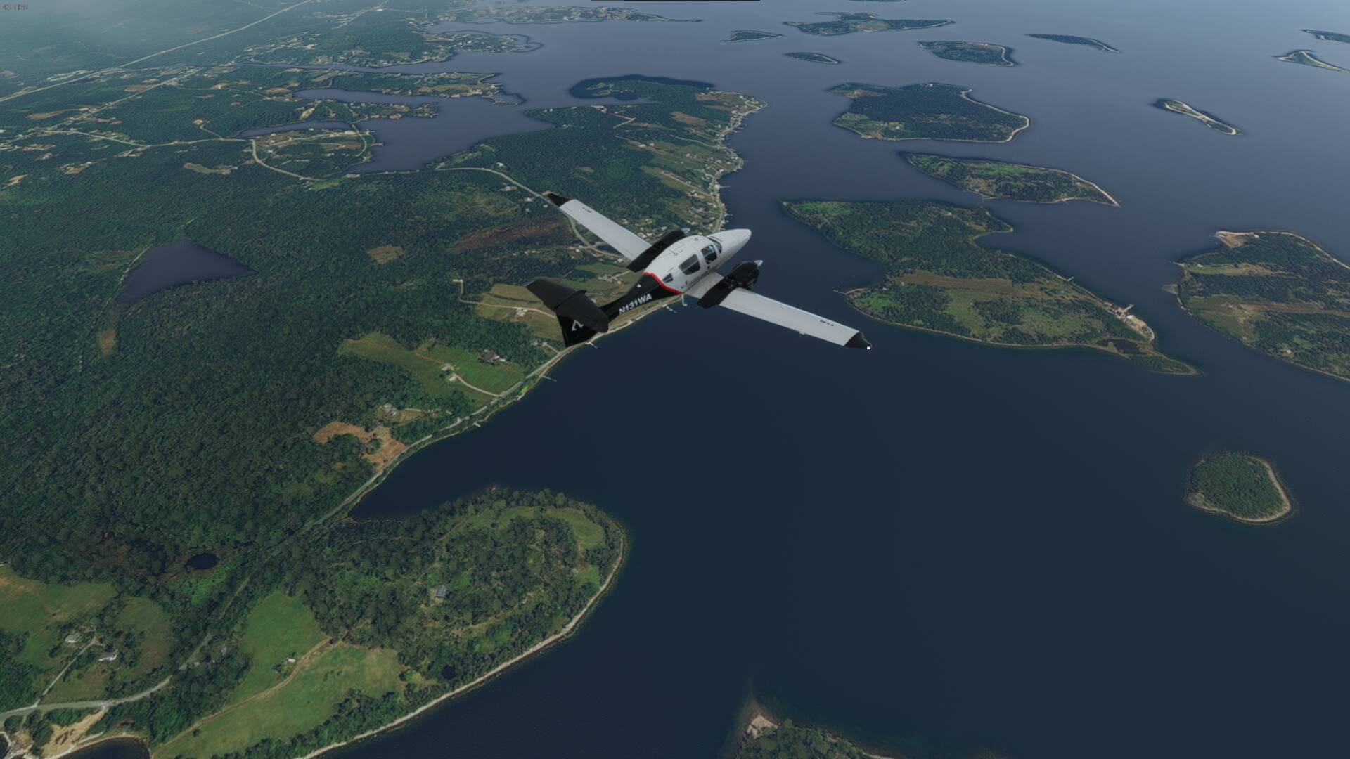
Approaching the water crossing.
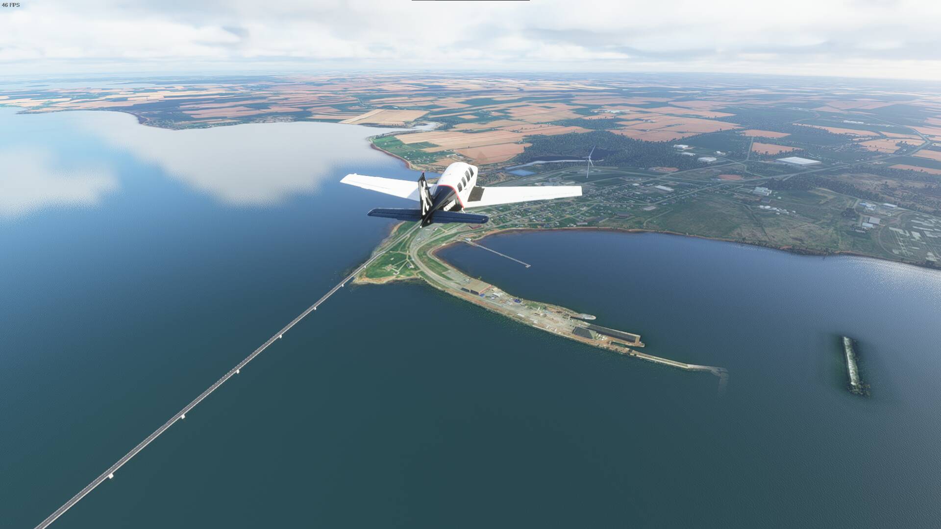
Following the coast. We will be coming up on Confederation Bridge and crossing there. That’s the only way across without using a ferry.

Welcome to the longest bridge in the world that crosses over icy water and the longest bridge in Canada. The Confederation Bridge carries the Trans-Canada Highway across the Abegweit Passage of the Northumberland Strait. It’s 12.9 kilometers long or 8 miles.

And we arrive in Prince Edward Island.
Some of the beautiful farm land.

Next we head to Cavendish. Part of the area is also fictionally known as Avonlea based off the Road to Avonlea series and of course Anne of Green Gables by L.M.Montgomery. We’ll pass over the beach and some of the cliffsides by the water on the northern coast of P.E.I.


The beach one final time.

North Rustico. I spent some time there a few years ago. Beautiful place and there’s a Lobster Dining Hall that’s amazing.
Having a bit of an strange engine reading I’ve decided to divert to CFH4.
Seems like it’s a bad engine sensor. Will have to postpone the flight to Bridgewater till later and wait here.
1 Like
What will you going to do when have to cross the ocean?
I plan to cross from Northern Canada over to Greenland, to Iceland and over.
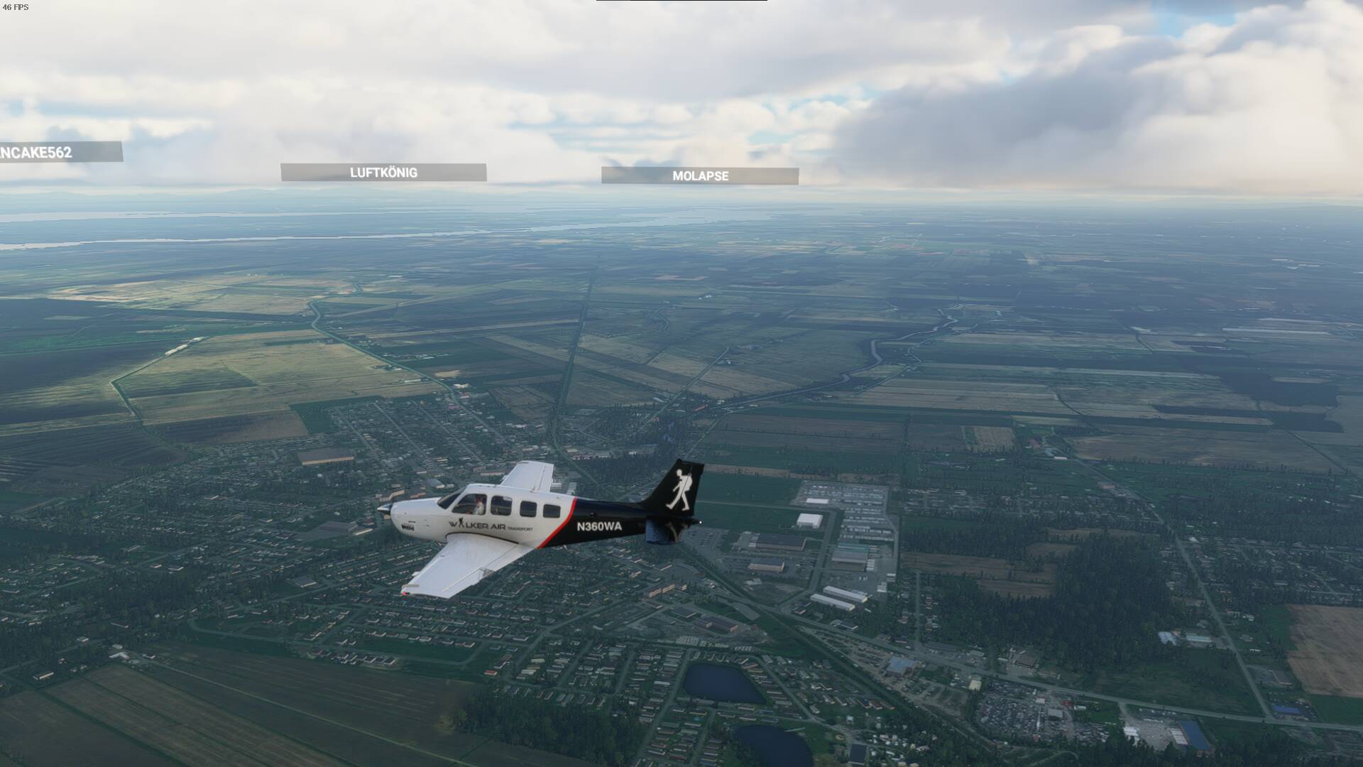
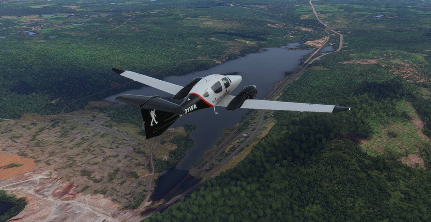
Had an issue with the aircraft so I traded it in for a new DA-62 instead. Moving forward I’ll be flying the DA-62(truth be told, i ran into an issue with the Bonanza)
CFH4(Fox Harbour, Nova Scotia - Canada) to CDY6(Bridgewater, Nova Scotia - Canada)
After some major changes… an aircraft change. We’re off again. Just took off from Fox Harbour to fly down to Bridgewater. I don’t plan to make this a flight with many detours as I want to get to flying again and continue the journey. Although I will go over Halifax, Peggy’s Cove and maybe we’ll get a glimpse of that Bluenose 2.
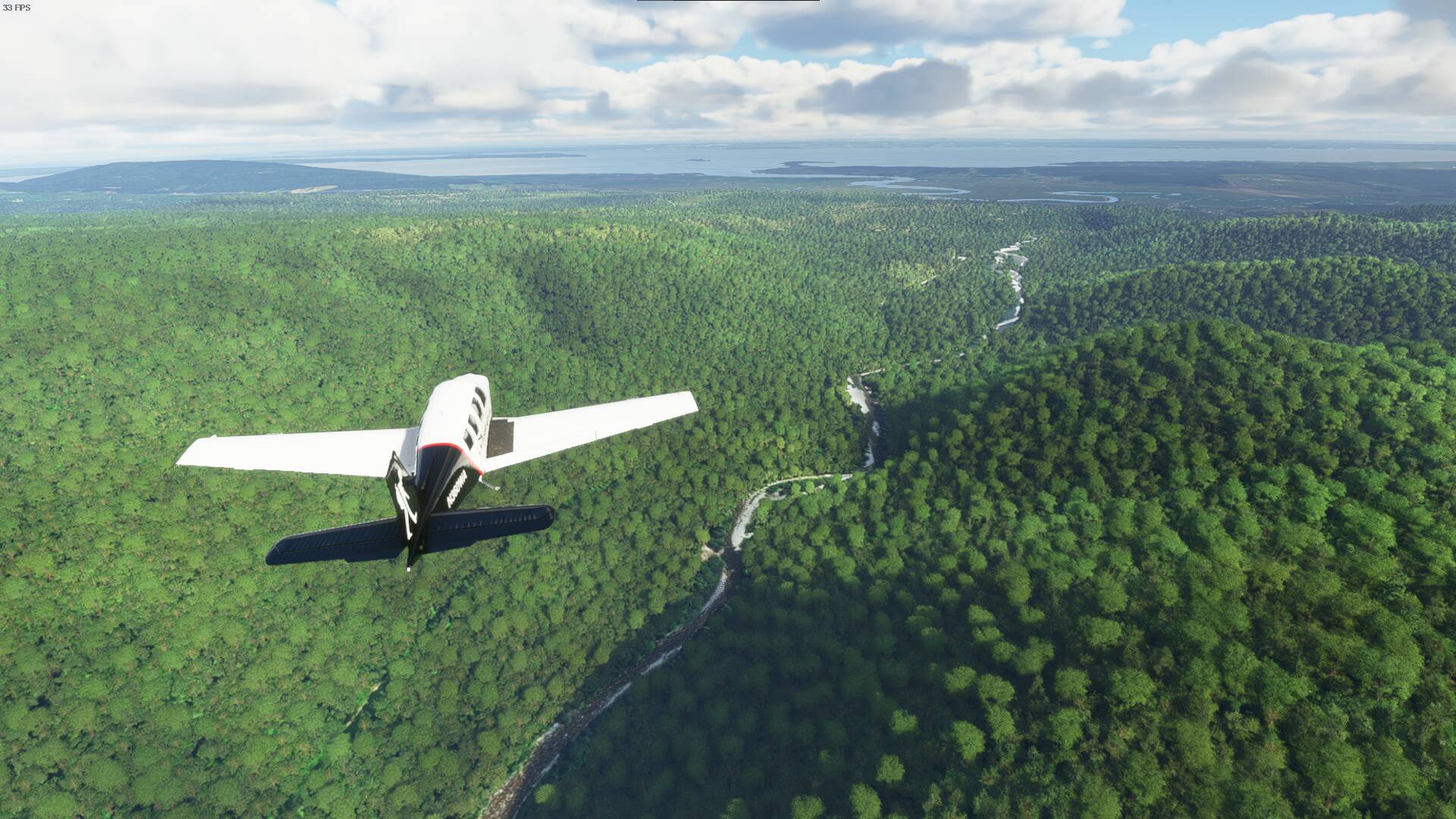
Quick view of Folly Lake.
The Bay. This section of water runs into the Bay of Fundy. It’s called Cobequid Bay.

Over in the distance and down the waterway is a place called Shubenacadie. While it may mean nothing to you it’s well known for being the home of Shubenacadie Sam. Another weather prognosticating groundog. Just like Wiarton Willie or the most famous Punxsutawney Phil.

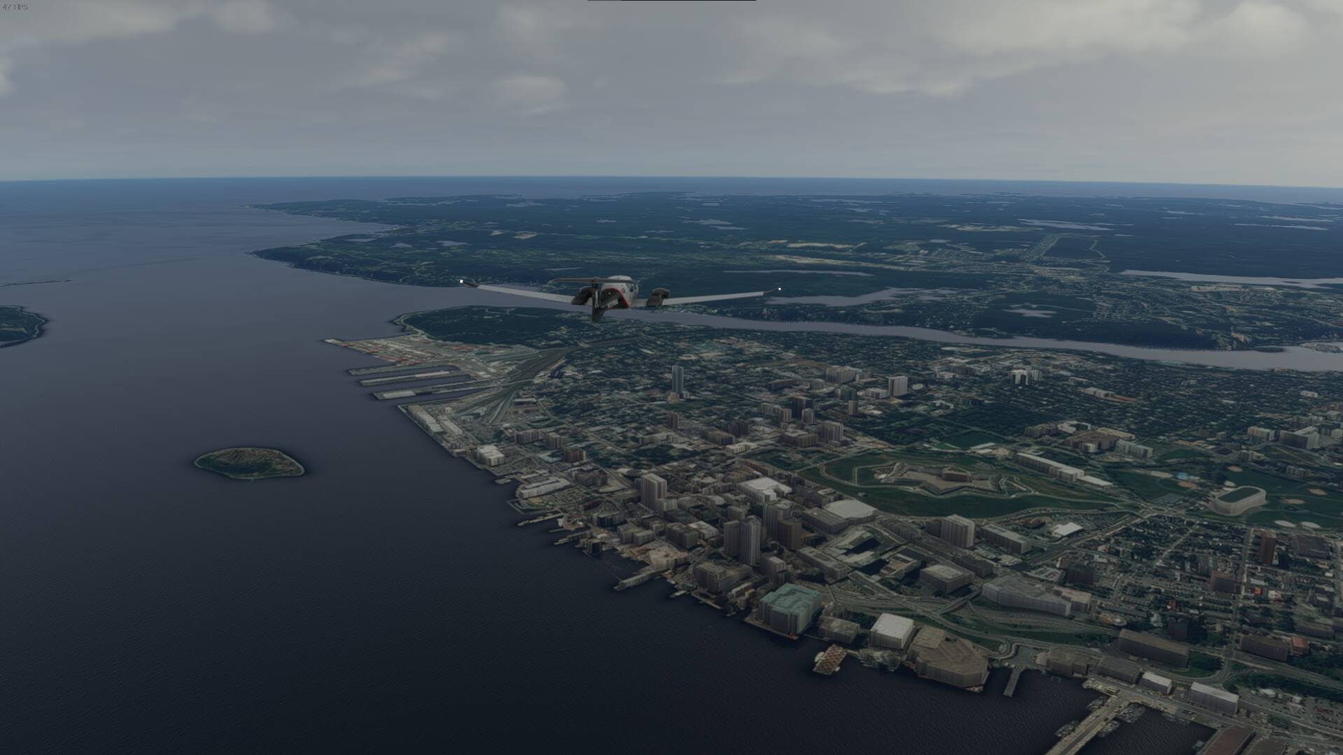
Halifax and Dartmouth.
Some bays as we near Peggy’s Cove.
(Unfortunately not much to see at the cove. Hopefully a Canada Update will fix that some day.)

Lunenburg. Home of the Bluenose II. And one of those ships docked is Bluenose 2(unfortunately flat but I believe it’s the first or second one from the right(if I had to guess, 2nd one from the right))

On the way to our airfield.
Our landing target for today.
Parked for the night.
CDY6(Bridgewater, Nova Scotia - Canada) to CDA5(St. Andrews,Newfoundland and Labrador)
This leg will see me take-off from Nova Scotia and head over a short part of the Atlantic Ocean to get to Newfoundland. It’s just a few hours flight but it’s a start to the big crossing that will come with getting over to the UK and Europe eventually.
Starting off at Bridgewater today.
Taking off

So many beautiful areas in Nova Scotia.

The weather isn’t quite as good today. Might not get as good a view of some areas as I’d like. Especially Cabot Trail.
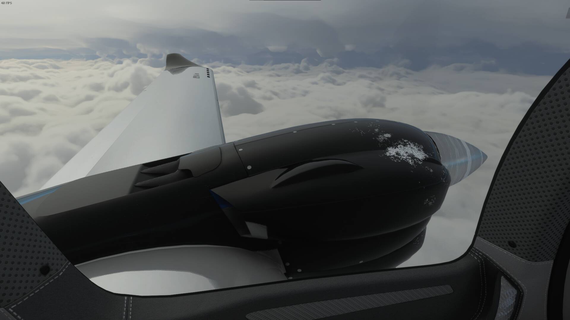
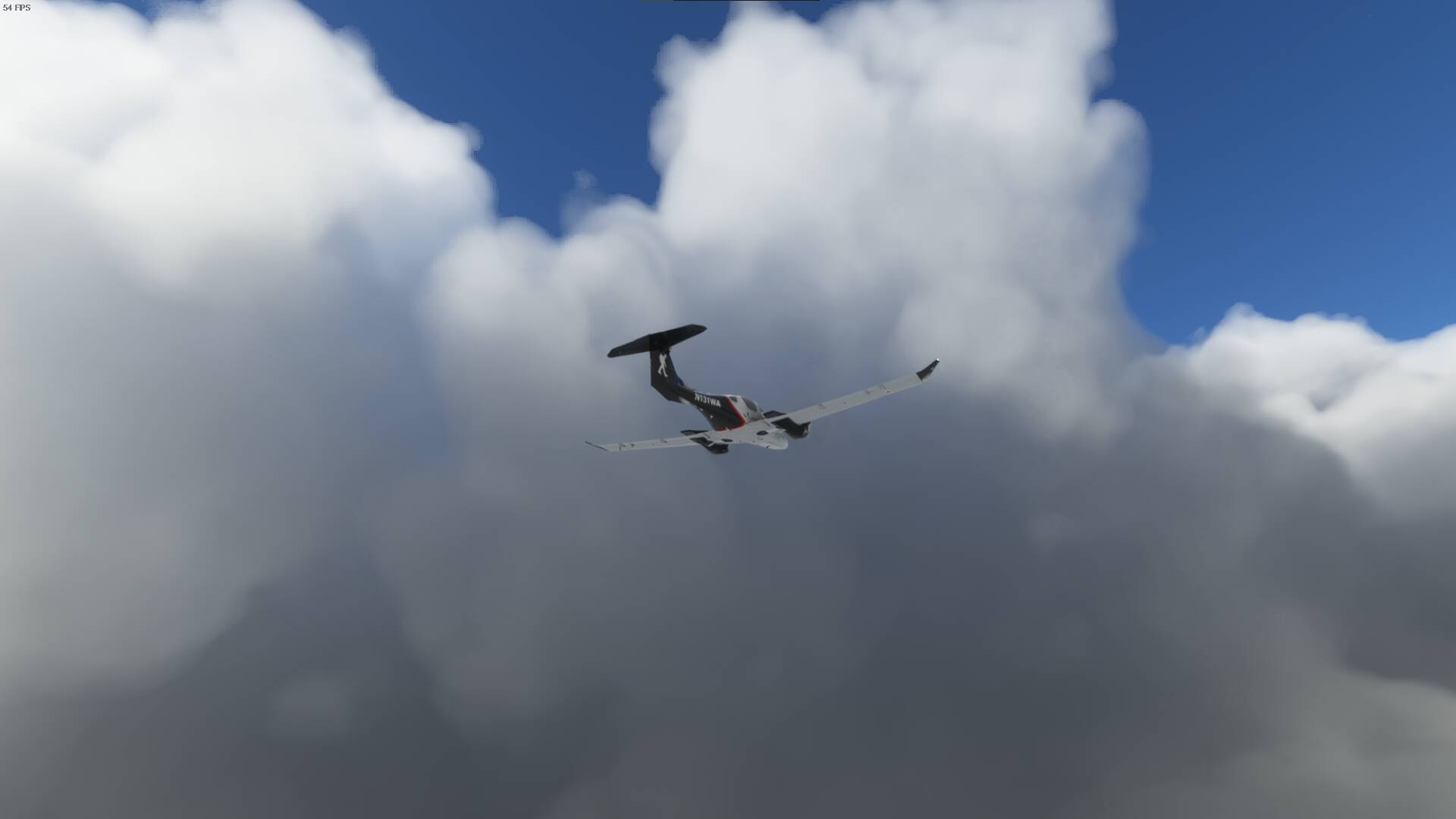
With some icing I unfortunately decided not to descend back into the cloud layer until I found an opening or got close to my destination so I’m missing out on the Cabot Trail views but I can always catch it next time I’m in the area.
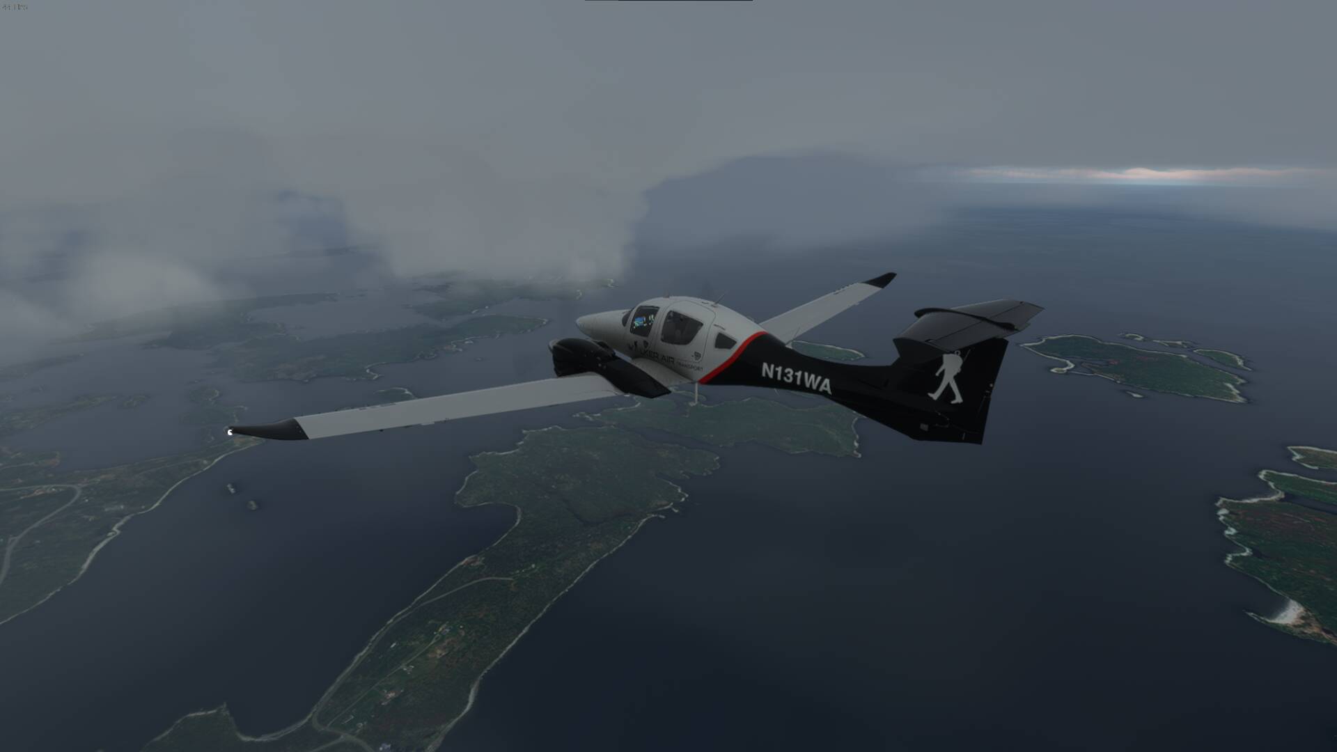
Weather just isn’t cooperating. Going to be a bumpy ride the rest of the way.
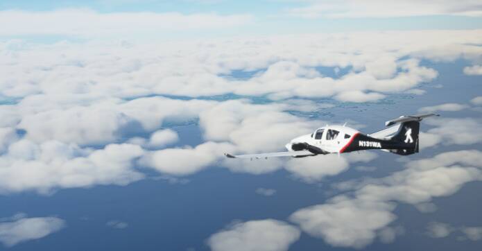
And finally we see land(and sky without the clouds all over us).
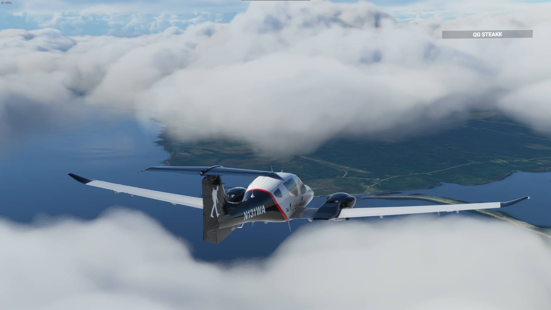
Approaching Newfoundland and our arrival airport.
There it is.
Approach
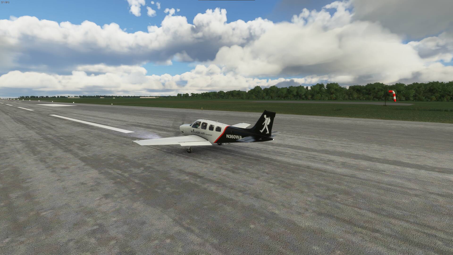
Down for the night.

I’m gonna follow your trip  planning to do the same in the DA62 also, hopefully we will cross roads in future
Sounds good
1 Like