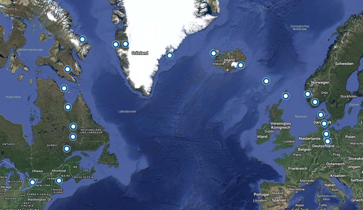
Inspired by an old reality documentation about a guy taking his An-2 over the Atlantic that I watched some ten years ago and the superb GotFriends Wilga, I started wondering if it would be possible to get a Wilga from Europe to America by its own wings. Turned out: If you hop over to Faroer Islands to Iceland to Greenland to Baffin Island to Labrador, a range of 360 nm will do the job on paper. That said: With the longest Leg being 340 nm across Greenlands icy desert, surely this wouldn’t be something you’d ever dare in real life – but why not so in MSFS?
I picked my hometown Magdeburg in germany as a starting point. Preliminary Destination is Toronto, home of my favourite baseball team. Overall a trip over 7.600 km, split into 1-2 hour flights and a few long jumps of 3+ hours. If I make it there, maybe I’ll show the Wilga a bit of the US afterwards.
I kept my rules for the trip simple:
• A crash will end the trip
• Navigation VFR by map (and some ADFs), no GPS
• Live weather will be used whenever feasible
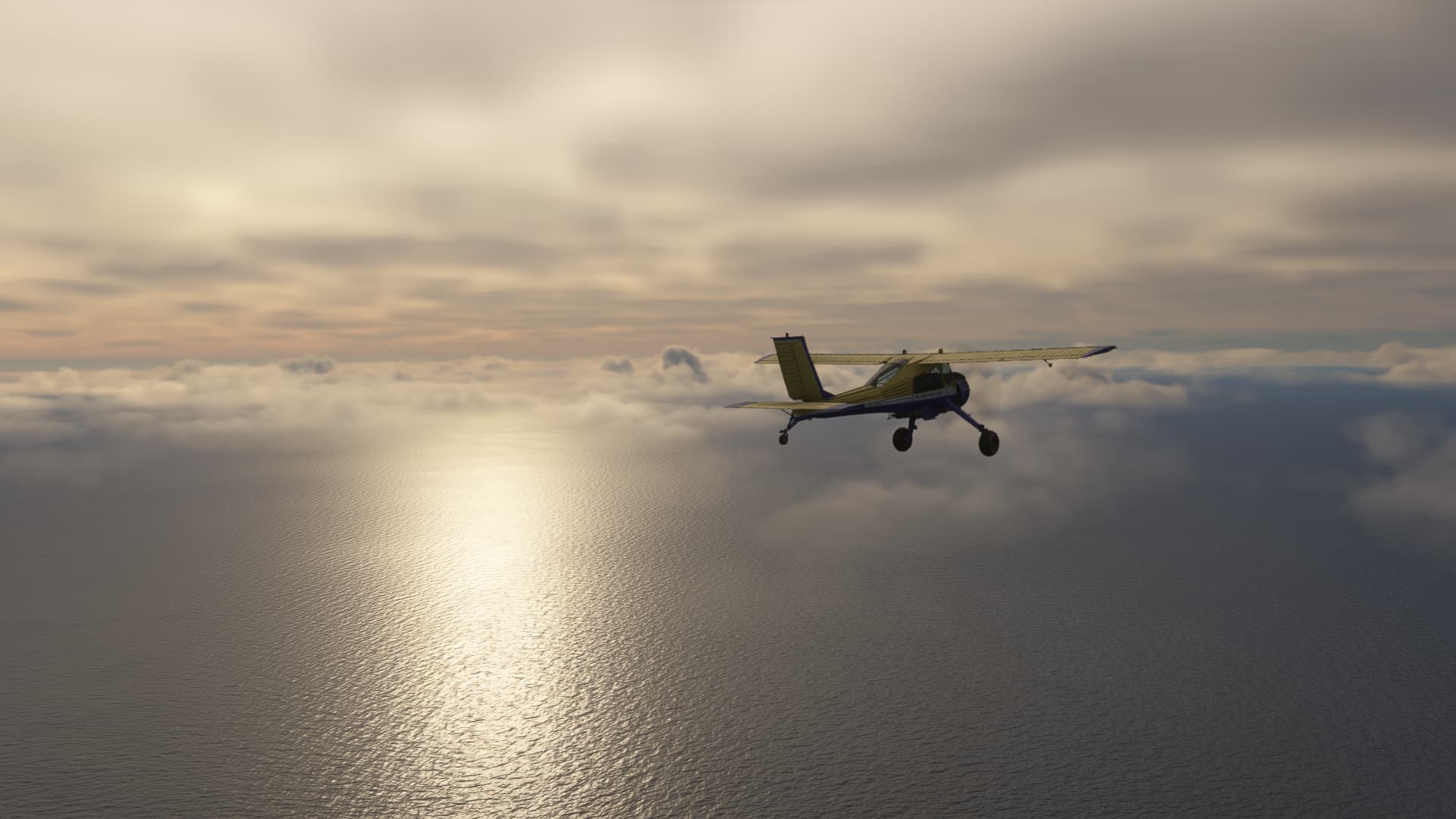
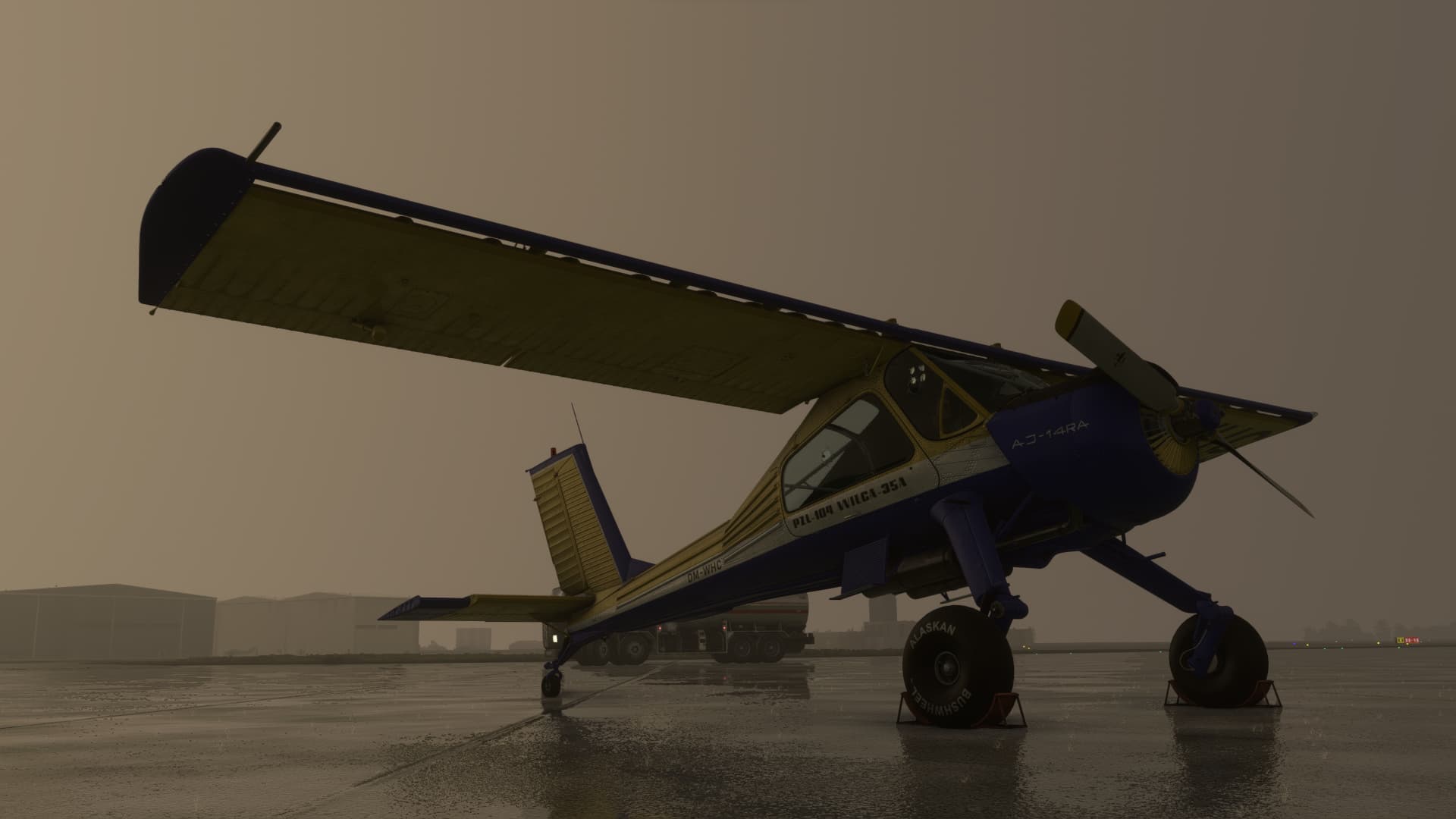
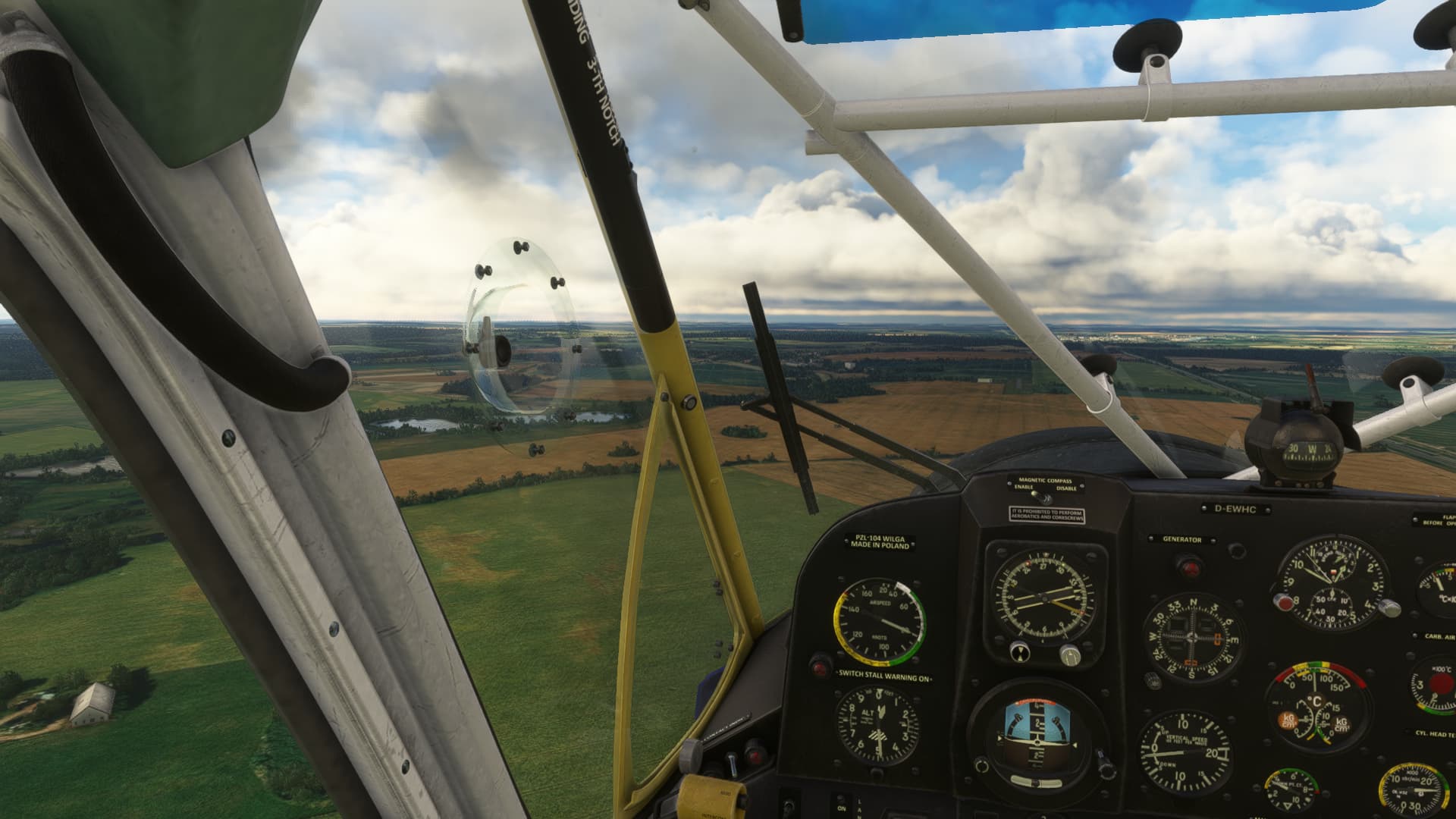
I wanted to make the trip with the 35A Version, because it has the basic avionics I like and I always felt more comfortable with the 260 hp engine and the reasonably sized tires. But for practicality, I needed the “Autopilot” (without which, due to the non-existent rudder-trim, flying&navigating for hours is simply a PITA) and this is only available in the pimped P-Versions. As it turned out, I also had issues with the old radio of the 35 versions when manually setting frequencies, so I eventually ended with the 80P. Anyway, maybe tundra-tyres come in handy when flying through the tundra and I should manage to switch the fuel tanks from left to right now and then, right? (narrators voice: “He will not.”).
Right now I am several legs into the trip. I will post the screenshots of one leg every 2-3 days. For the beginning, every comment or tip on realistic route planning for single piston engine aircraft on oceanic routes is welcome!
Fun fact: Matthias Rust (who famously landed his C172 in Moscow’s Red Square in the '80s and inadvertently precipitated Glasnost by getting some hardliner Russian generals fired for not having him shot down) also flew his C172 from Europe to Iceland. He obviously had balls, because he did it all as a teenager and with less than 100 hours total flying time.
I am still experimenting with the ceiling and engine parameters to optimise range. For the moment, I found 6-8,000 ft the optimal altitude for non-charged piston engines. Or should I go higher?
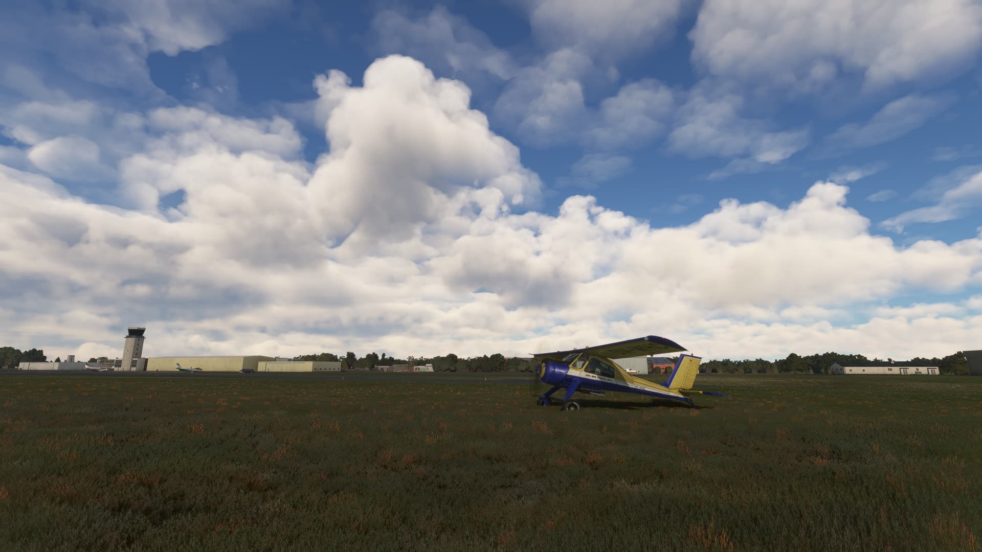
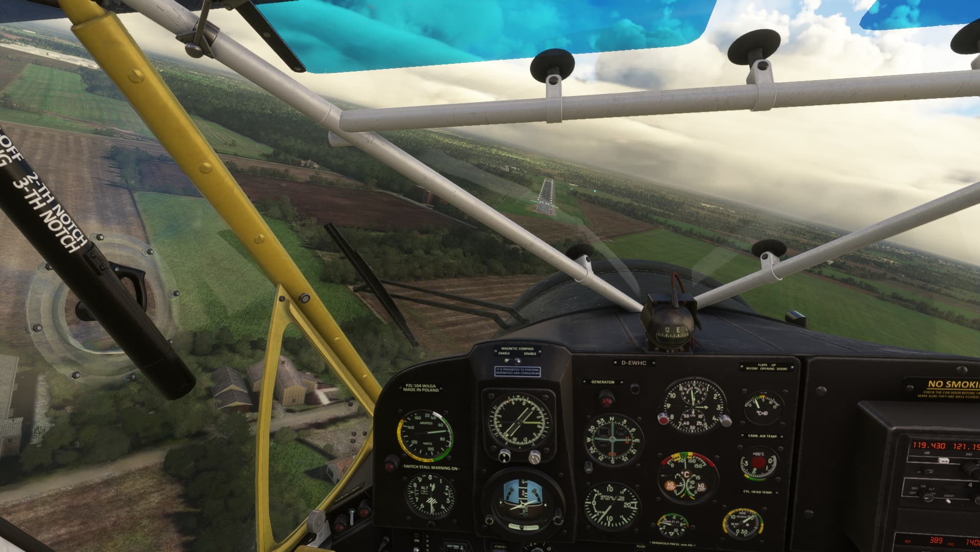
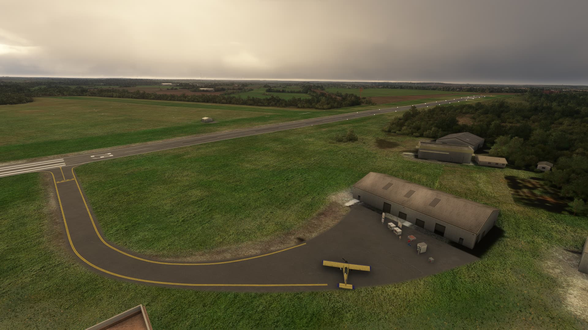
The first leg was a short and easy hop from my german hometown Magdeburg EDBM to the former agricultural cropdusting-airstrip Bobzin (DE-0226) some 100 nautical miles north.
Weather was great and navigating in my backyard at 1,000 ft was a breeze. I have never been to Bobzin in particular before, but the airfield near the Autobahn was easy to find anyway:
Figured out how meany full Jerry Cans, the there empty and full of AVgas waits the passenger seat could take, then every hour subtract weight in fuel used from and top up on the weight page.
Till only had the same number of dead weight on empty Jerry’s + 5 - 15 pounds for a pump and lines.
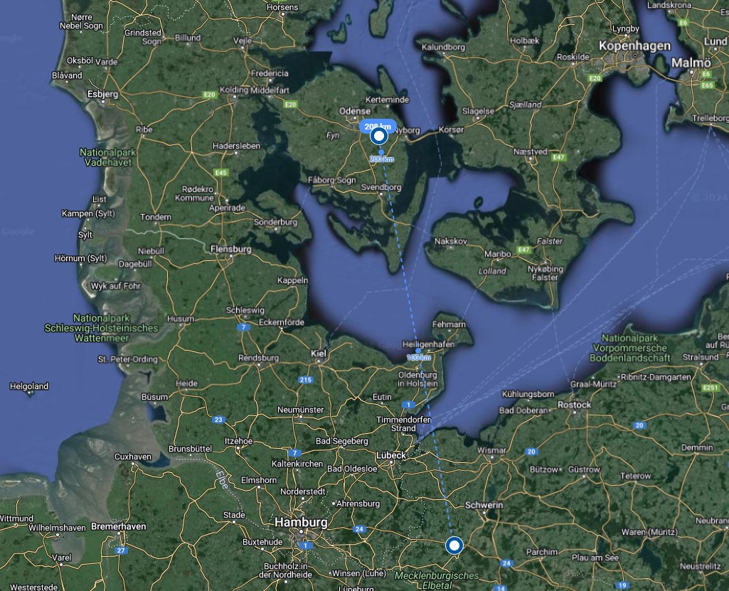
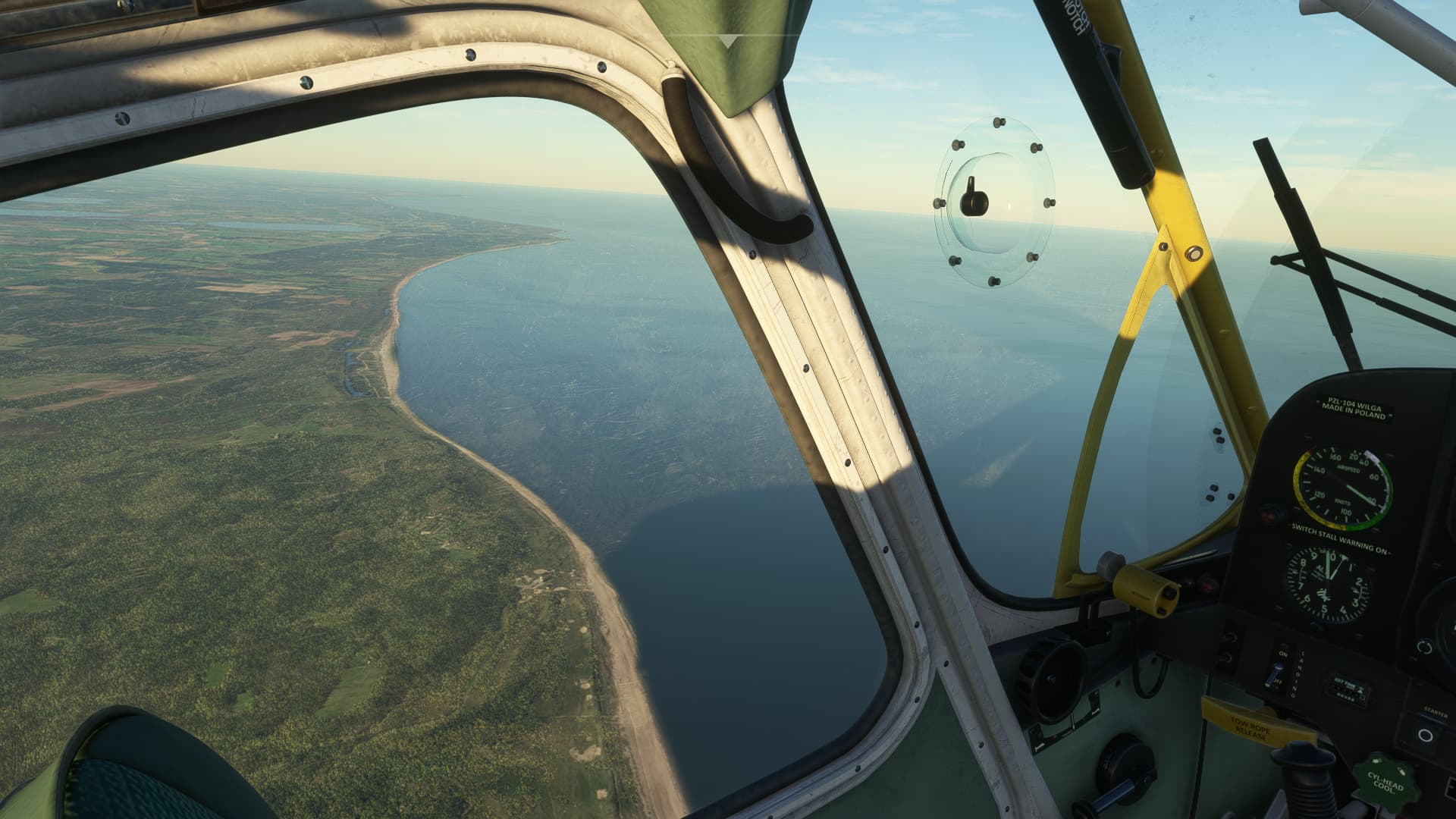
Leg 2 was set to bring me to Denmark. I picked a lovely glider field at Rolfstedt (EKRO) on Seeland Island, about 99 nm from Bobzin. A 50% filled tank should do.
Live weather gave me some hardly CAVOK conditions with clouds sitting at around 1,000 ft and some rain showers here and there. At least the wind was quite decent.
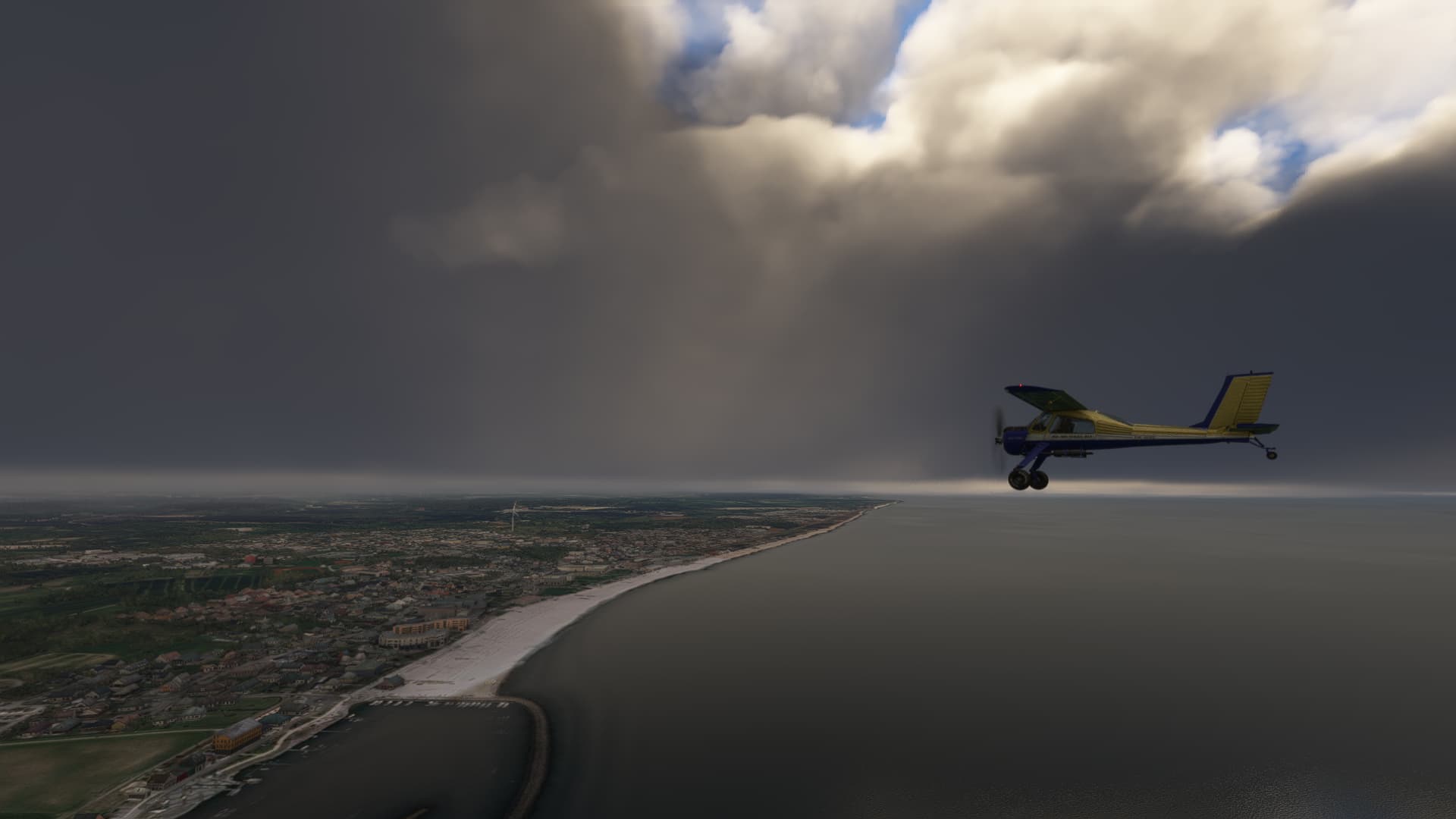
Navigating by sight at 500-1,000ft with visibilities down to a few miles turned out to be quite challenging, but a close look at the coastlines and some NDBs here and there held me on course quite well.
Being there, my right fuel tank went to the last 2 gallons and the left tank was anywhere from full either. Looks like this M-14P engine was guzzling a bit more than I had calculated. Anyway, I should be there in a minute so no reason to worry.
Passing Nyborg, visibility and cloud base went down rapidly and I ran into a very embarrassing hunting and circling to find my destination airport. Picking a grass airfield with no lighting at all didn’t make it easier. Meanwhile, my left tank was emptying fast which gave me some additional stress.
One time, I had found the runway but lost orientation again when turning into the final approach. After another round of circling, I finally managed to go on final. It appeared, that the runway had some nicely modeled bushes along the runway so apparently no space for errors here.
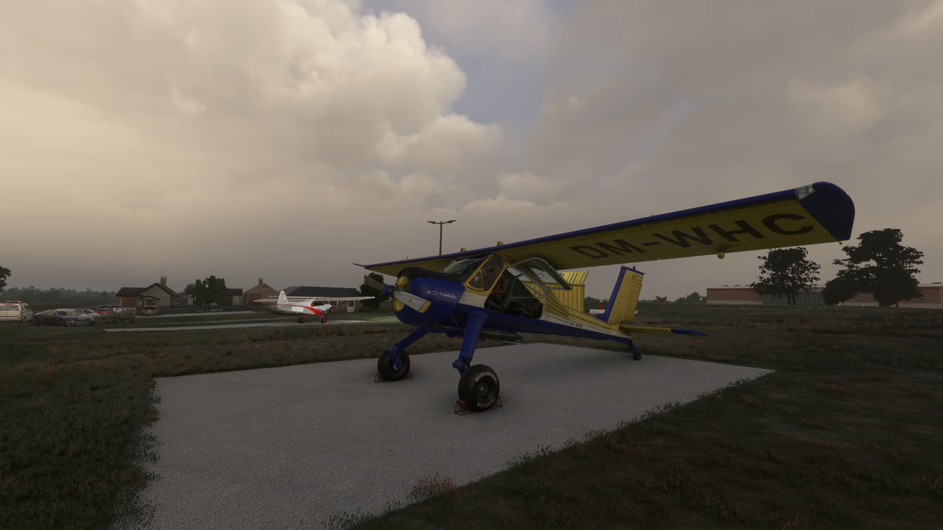
With sweaty hands, I managed an okay landing and made a backtrack to the parking position. Did the engine just make some strange noises? After parking, I had a look at my remaining fuel: 2.15 gal left in the left tank. The motor usually stops working at 2 gals remaining, as I had tested before, so apparently this trip nearly ended before it really had started, phew!
Lesson learnt: Always grab as much fuel as you can get! So I filled both tanks up full and started off to Leg 3, that should get me to Aars, a regional airport in northern Denmark:
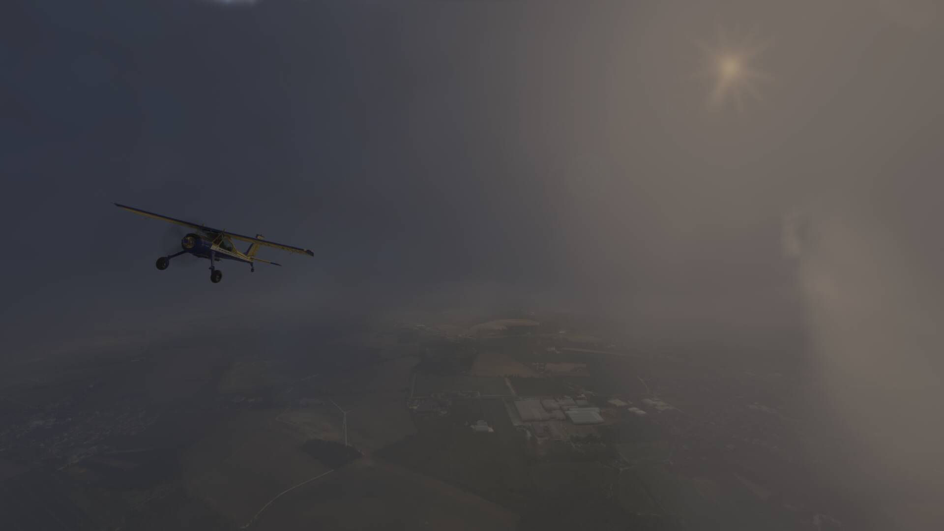
Weather hadn’t cleared at all but the forecast promised scattered clouds farther north. So I decided to go above the soup and stay on coures until some hole in the clouds comes in sight.
After I landed, I found my tanks half empty, after barely 100nm of flying. Either there was a hole in the tank I had overseen or I should find a way to manage my fuel better if I wanted to make it even to the Shetlands!
The day for Leg 4 catched me in somewhat of a weak spot: The weather had been more than ugly for days now and I wanted to make progress and finally reach the interesting part of the trip, so I decided to skip live weather and dialed in some nice, yet still realistic february weather for the crossing of the Skagerak: Leg 4 was scheduled from Aars to Ose, a nice small ultralight airstrip in the norwegian Åraksfjorden.
Everything was literally plain sailing weather, until I had to switch the fuel tank and accidentally fumbled it to the off-Position. Although barely a second without fuel pressure, the engine decided to quit and left me gliding in the middle of the Skagerak. It cost me 3,000 ft to learn that it’s crucial to activate the spark shower to restart the engine in flight. Phew, second near-death-experience and I hadn’t even seen the atlantic.
I had completed 4 legs now and never exceeded a calculated range 270 nm at best. Far from the 361 nm promised in the manual and very far from being sufficient to cross the denmark strait or greenland with its 330-340 nm to the next landable airstrip. So I began to dig into the engine manual of the Vedeneyev M-14 and make some test flights to optimise my engine and fuel management. With four variables Throttle, Pitch, Mix and Altitude, this became quite a challenge and ended in more than 30 different test flight regimes.
But in the end, the effort was worth it. It turned out, that the Wilga likes it low and slow. High altitudes above 1,000 ft decreased range, same with regimes above 80 KIAS cruising speed. But excessive leaning down to 20% Mixture turned out to be most effective:
(Ranges here are theoretical values with proposed 100% fuel use and no safety margin)
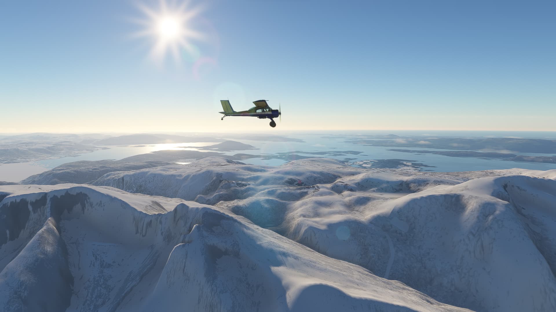
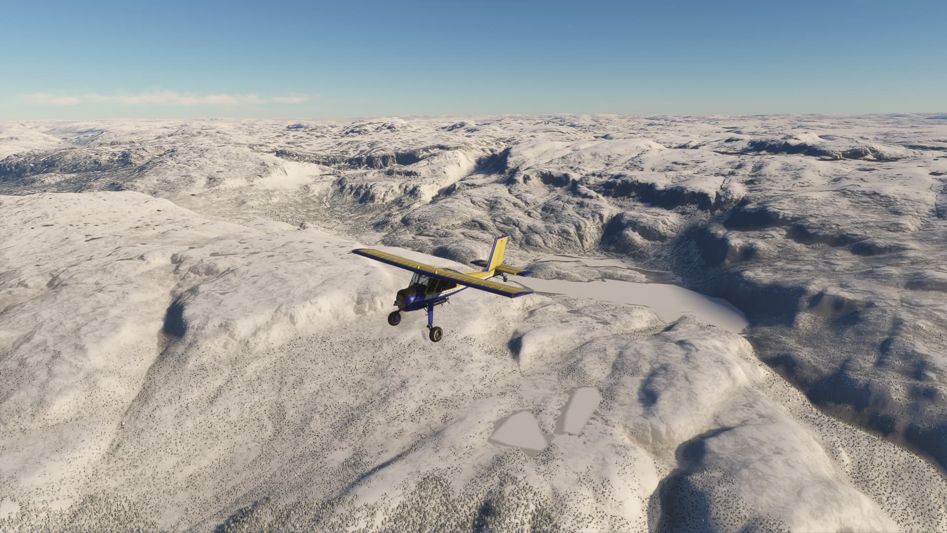
I can take the Gotfriends Wilga over 1,000 km when leaning to 20%, maintaining 80 KIAS around 1800 RPM and staying below 1,000 ft. I don’t think that the flight model matches the real world performance in this regard and I am not sure, what such a flight regime would do to a real enginge, but my challenge is with the simulated bird and this will get me safe through the oceanic legs and the 340 nm across Greenland, even without a ferry tank!
I like your testing approach. You can fight all day about how like the real aircraft is but even in real life you have to make sure your aircraft, real or simulated, is up to the job. A lot of it is understanding where the aircraft performs at its best. Testing flights are the only way to go.
I like using Little MapNav (LNM) but there was no performance file for my current favourite aircraft the BN-2 Islander. Creating a good starting point is not hard using the “Current Performance” tab in the flight planing. I now have a good ball-park figure for the amount of fuel I will need for a particular flight.
Little LNM also can access information about wind at different heights which can be very useful. Though it is not derived from FS20 I have found it to be pretty accurate. I have found differences mainly on the ground so you can never be sure which runway FS20 will give you.
Any way good luck with your endeavours, sPK
That’s really interesting.
It made me do a search and I found https://www.youtube.com/watch?v=h3bATVXMHQg It shows how much can be learned with a digital engine monitor guage to make sure you don’t damage the engine.
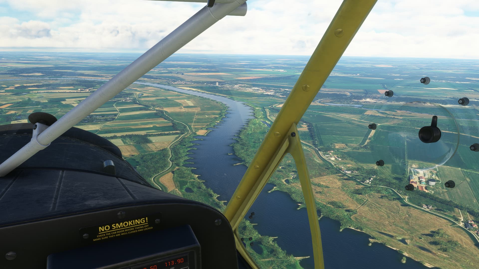
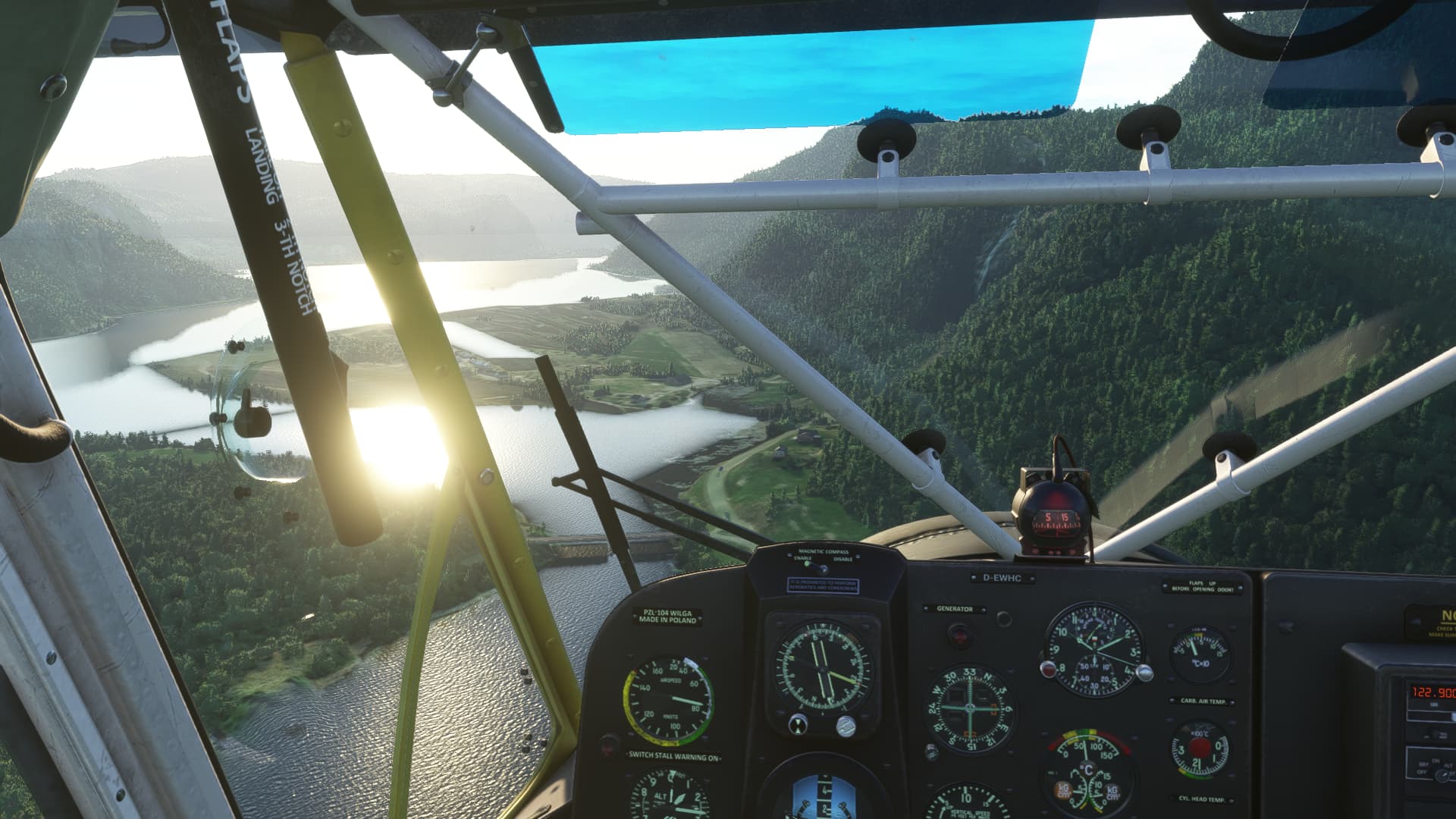
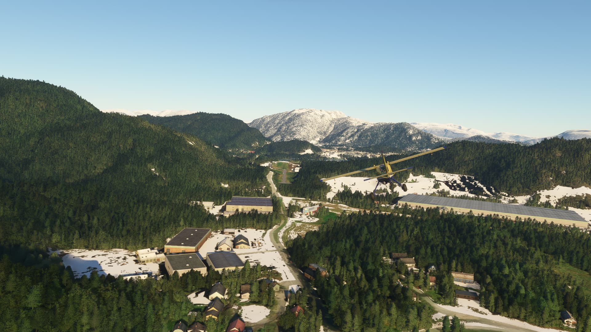
In the meantime, the weather in southern norway had cleared after several days of snow and I could start off to Leg 5 from Ose to Vaksinen Ulven near Bergen.
(Live) weather was finally marvelous with a little bit of headwind but great visibility. I followed the Otra-River up north, crossed the Botsvatn and Storvatn lakes and from there northeast, the Folgefanna glacier to my right.
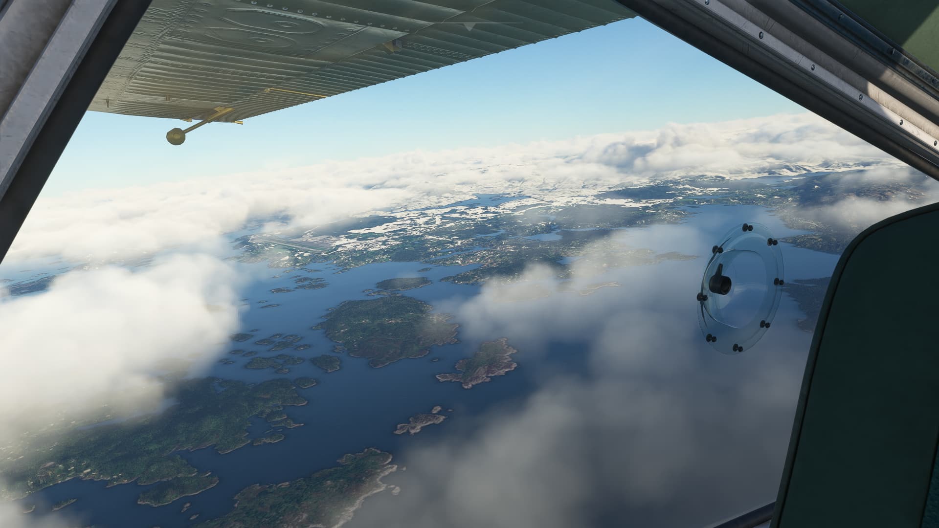
I got my tanks packed full, double checked fuel regime and radio frequencies and left Osøyro with some fluffy, low hanging cumulus clouds, passing bergen airport in the distance.
I basically had two radio beams to travel upon: Starting off the long-range NDB at Bergen Bratta, then around 50 miles of trustful blind flight and then the short range NDB at Sumburgh Airport should catch me and guide me to my destination.
I initially had planned to stop over at one of the smaller airfields, but expecting crosswinds around 25 knots and decreasing visibility made Sumburgh with it’s NDB and its 15/33 Runway the only feasible option.
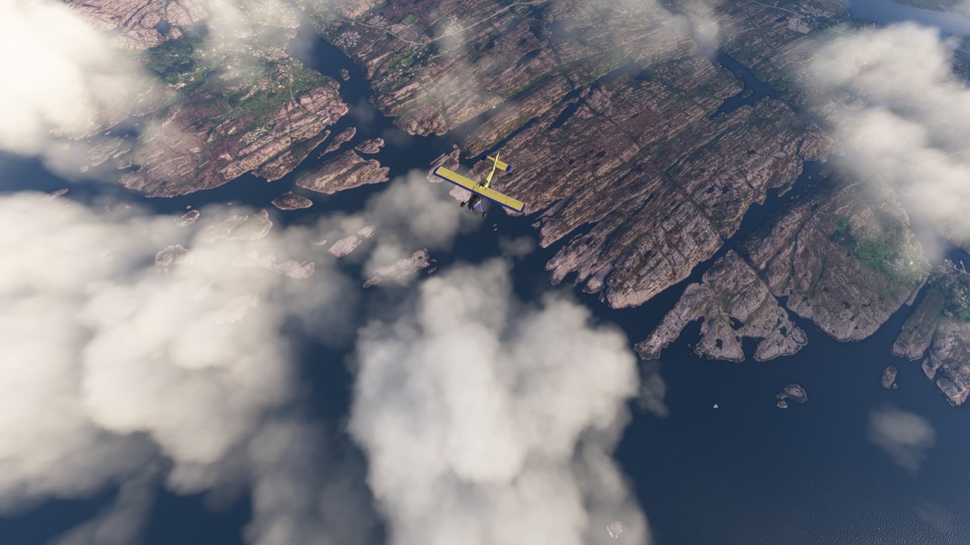
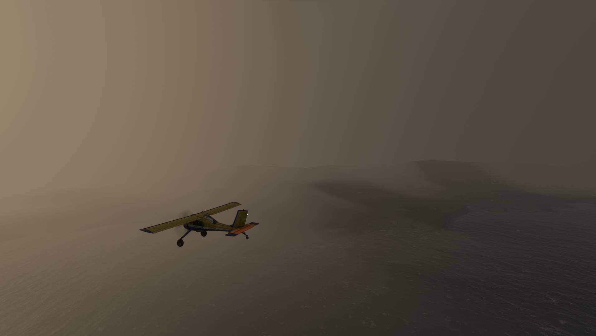
After 1,5 h, the radio beam from Bergen left me and so did the last rest of visibility. Todays learning: Trust your meteorologists, they try to save your life. But well, here we are with no sight, no signal and nothing but water beneath us.
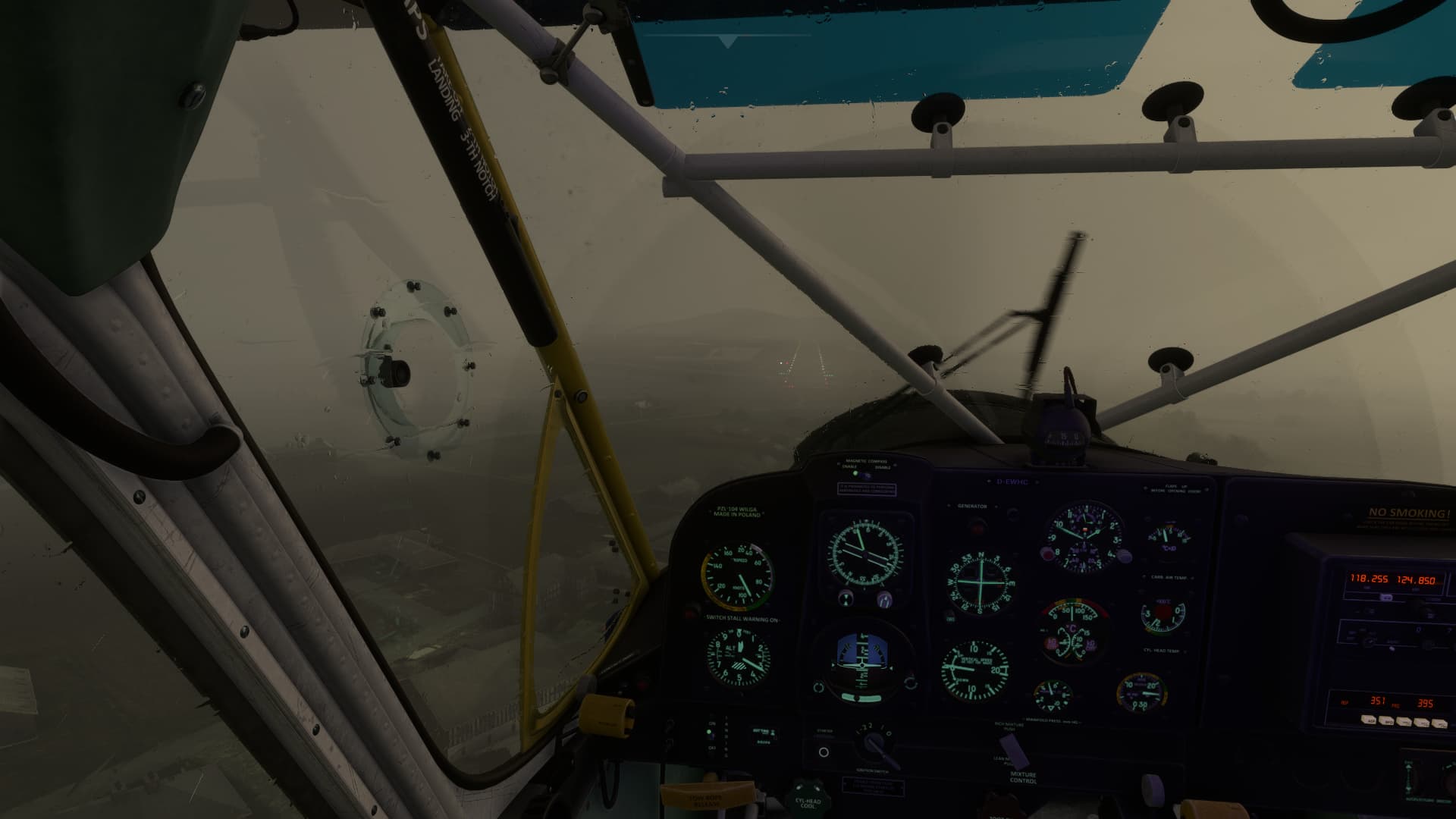
Fortunately, the ADF-Arrow came back to life and pointed right at Sumburgh Airport. The tower nevertheless was not really amused to hear me requesting a veeeery MVFR-Approach. „We are closed for non-IFR traffic at the moment“. After clarifying the number of my backup-options (0), I got a clearance for Runway 15 anyway.
Wind gusts threw me around a lot, but the 25 knots came basicaly headwise so I managed a quite well landing, cleared the runway, changed a very sweaty shirt and had an open and loud discussion with the controller afterwards.