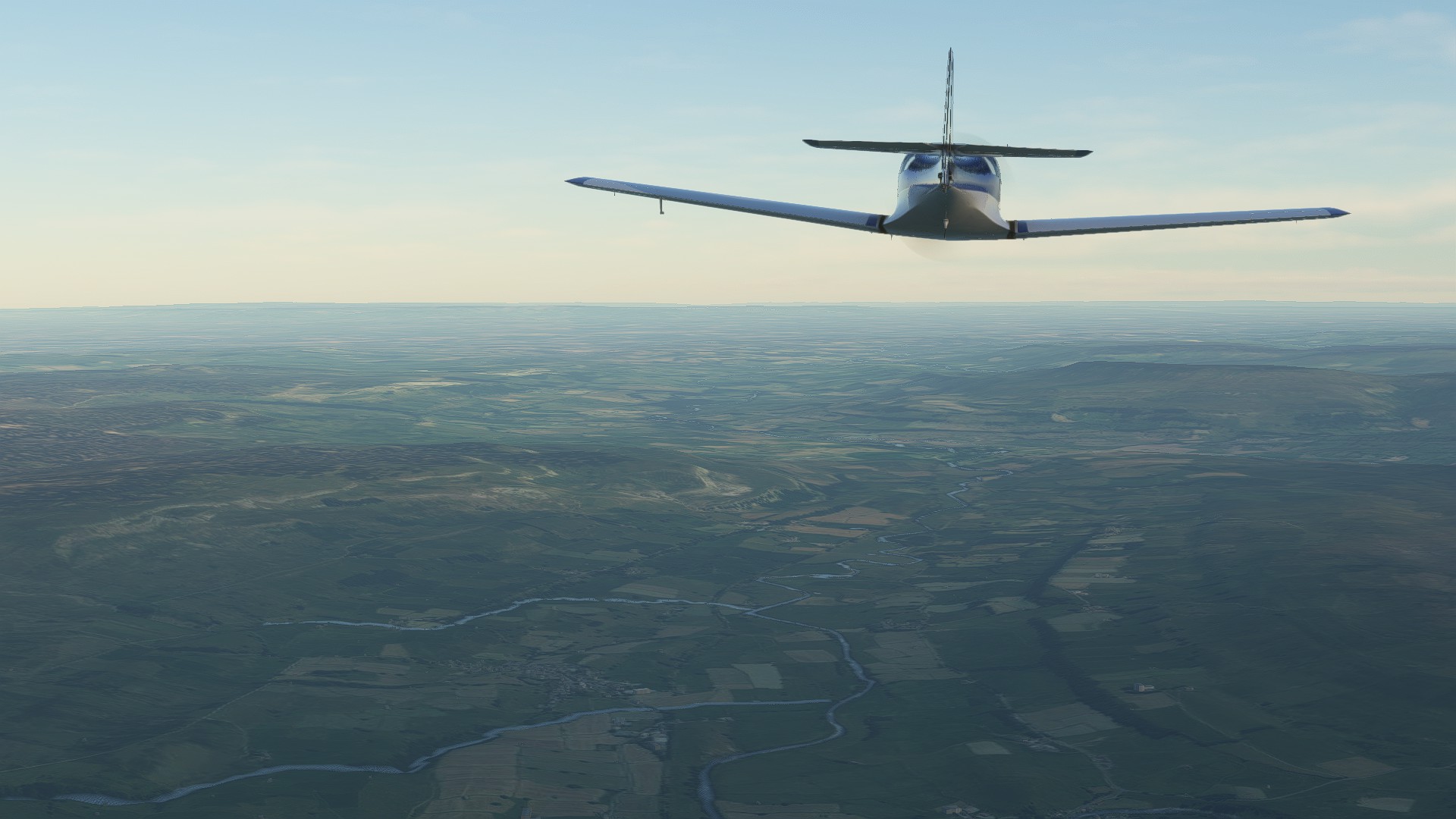
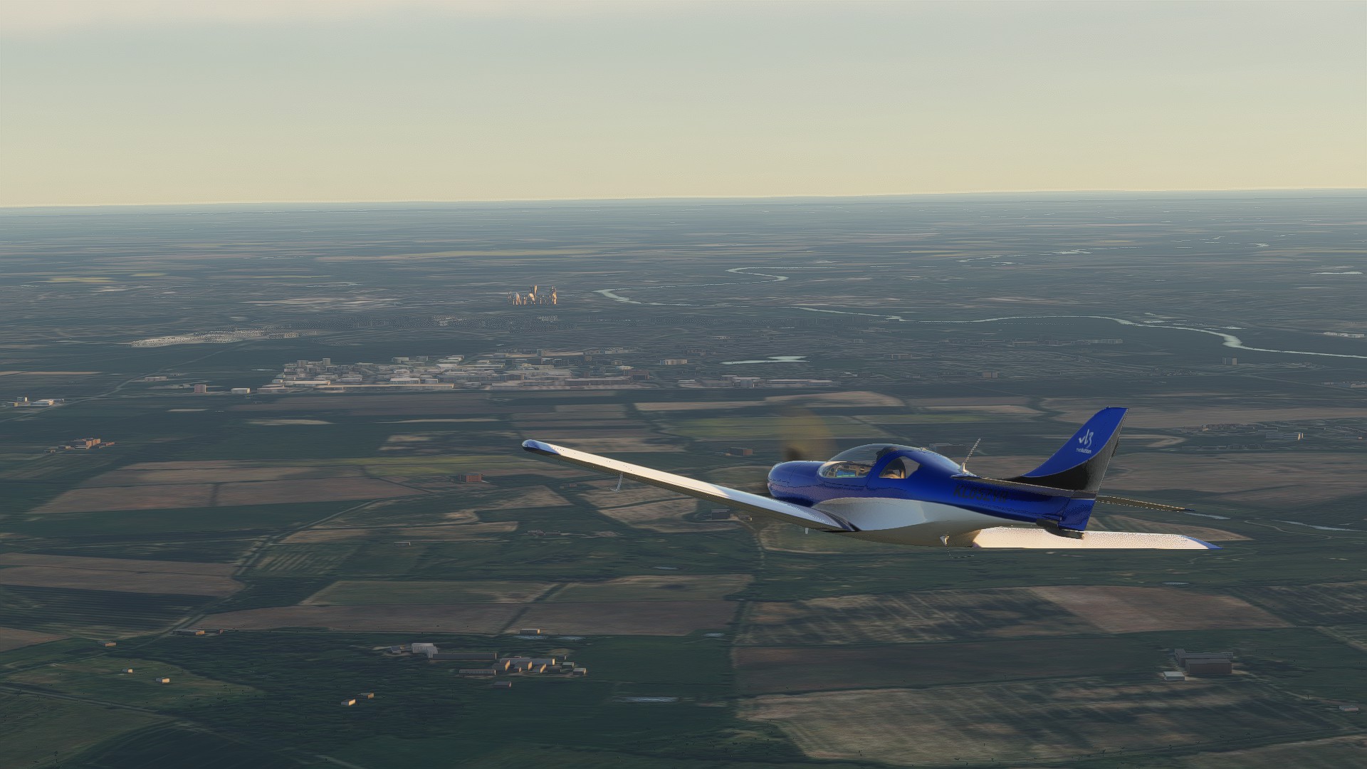
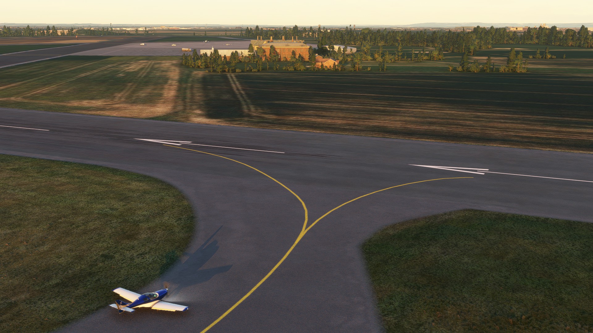
Thought I’d go out for a fly around my own neck of the woods and see how it all looks since the update, and how it compares to the way it looked before. No photogrammetry here and only one landmark so I was interested to see how the building archetypes and such held up.

I’m working on a map style to use for posts such as these.

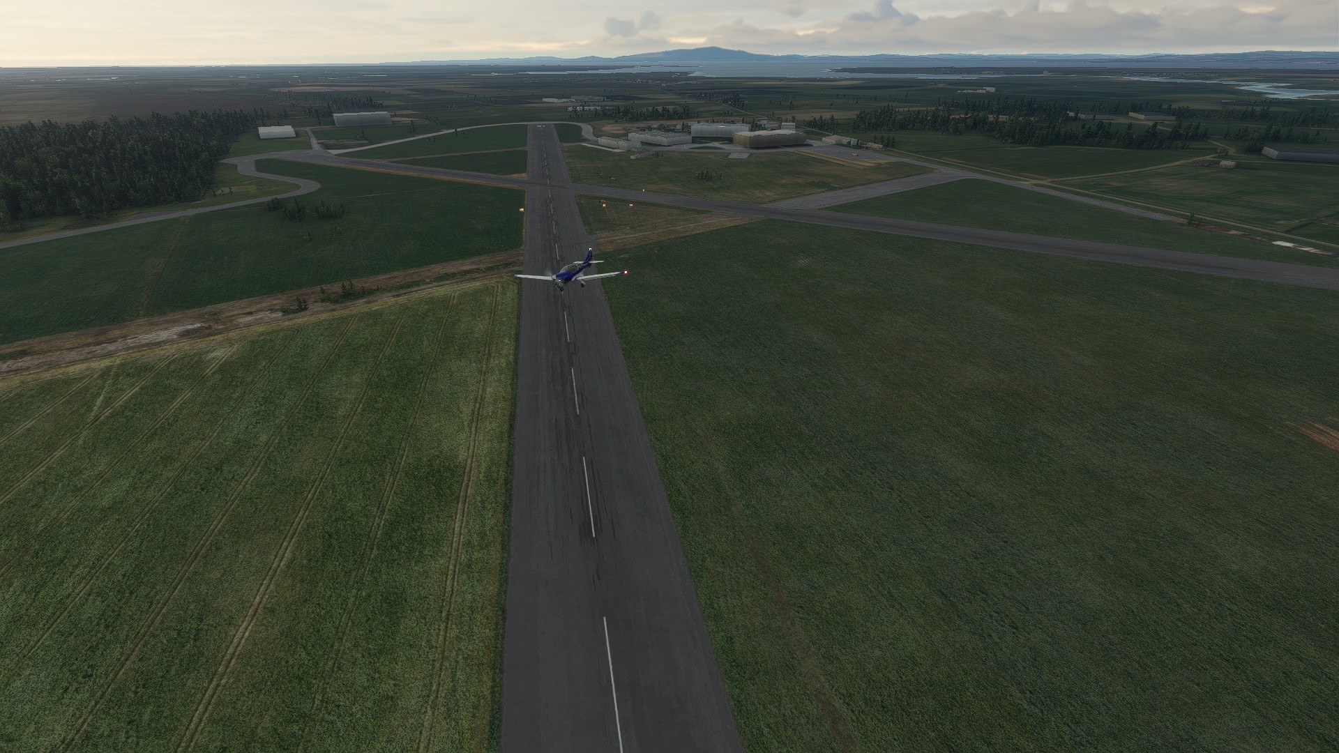

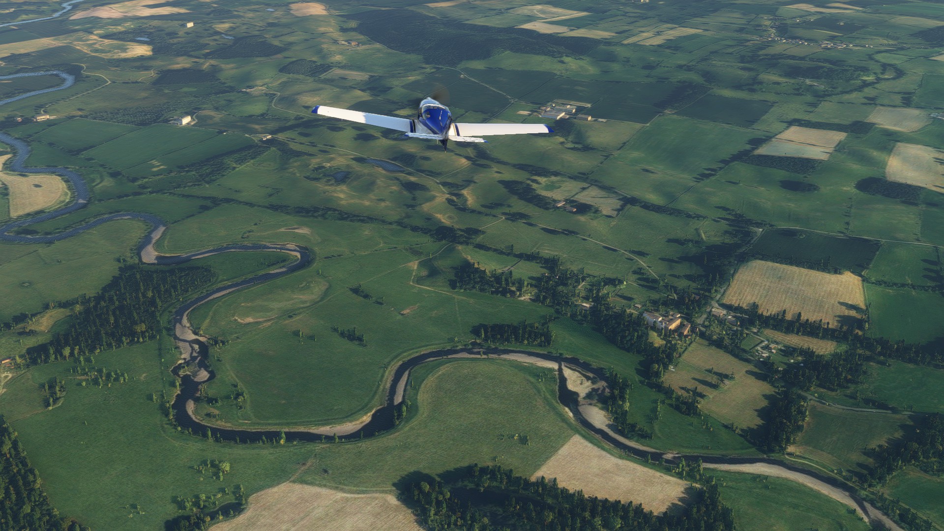
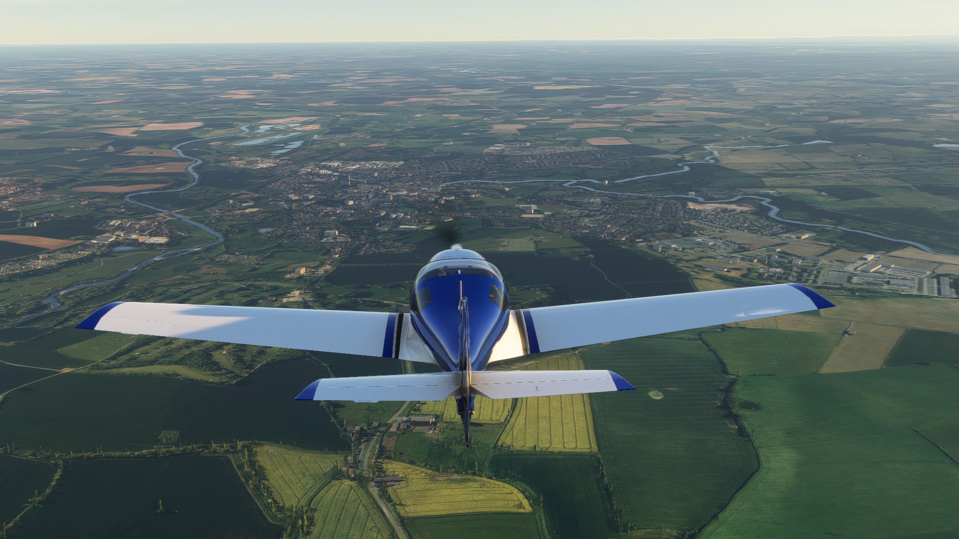
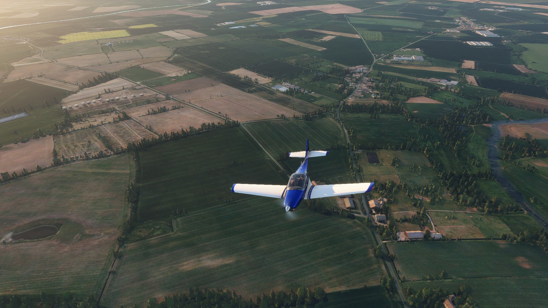
Little Bampton


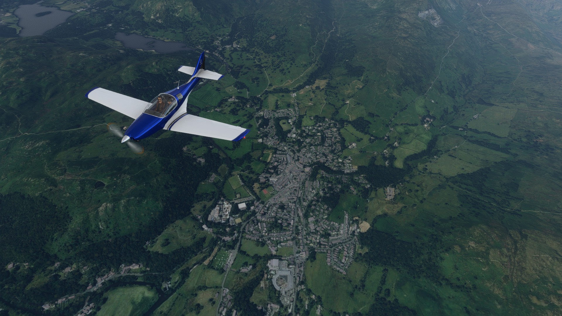
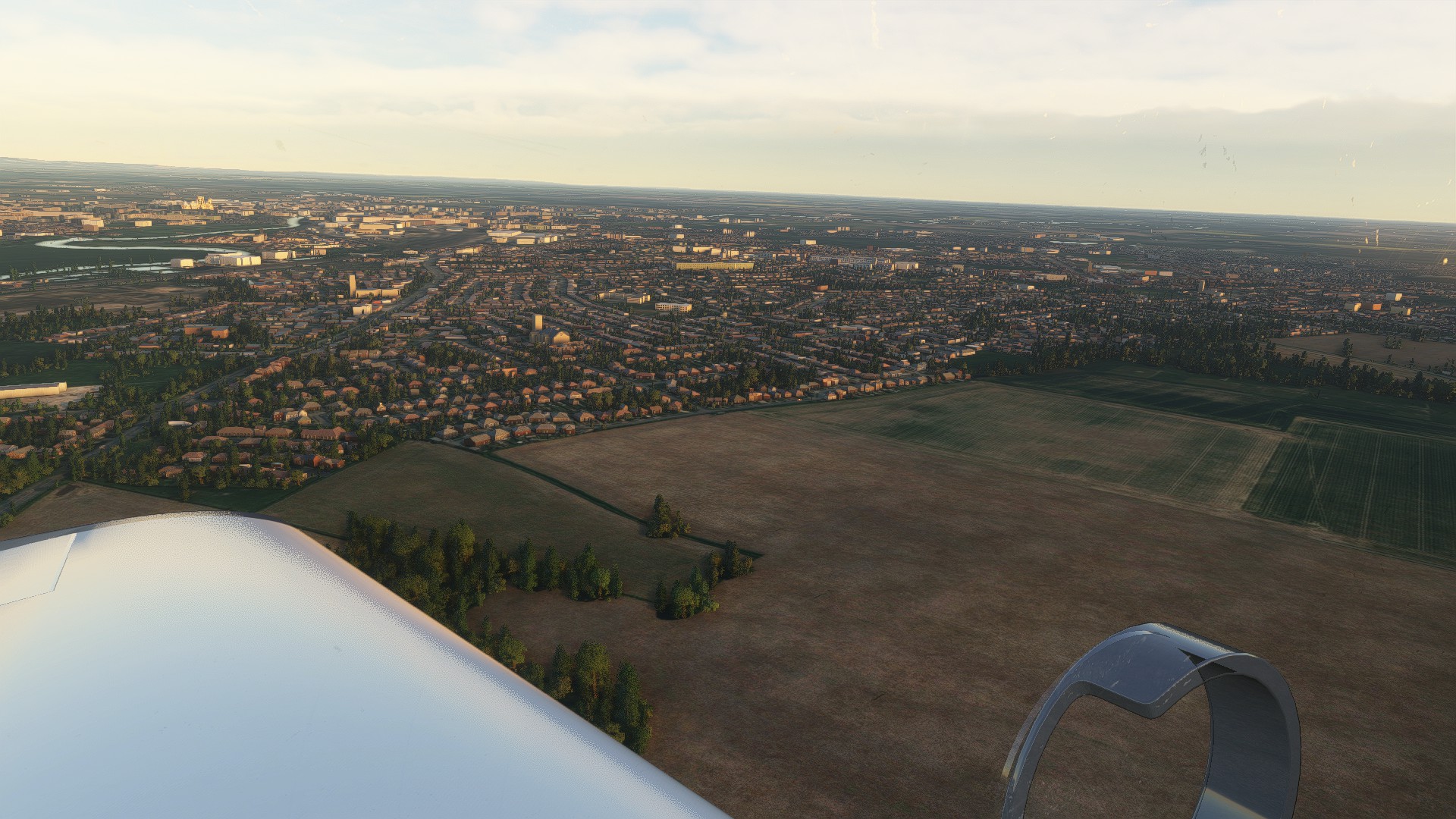
My nearest city Carlisle, I’ve flown over it in the sim a few times before, and honestly it doesn’t look much different. I’m sure some of the new archetypes might be of use in improving the appearance of the city but the AI has to be able to detect buildings first. It still struggles in areas of high density housing, such as the terraced area just above the plane, in which very few buildings have been detected and in other cases blocks of terraced housing are recognised as large warehouse style buildings. In the city centre, again there is a tendency to merge buildings together into a single flat-roofed expanse. The cathedral is recognised as a church, but I actually have screenshots from before the update which seem to show it as a church.
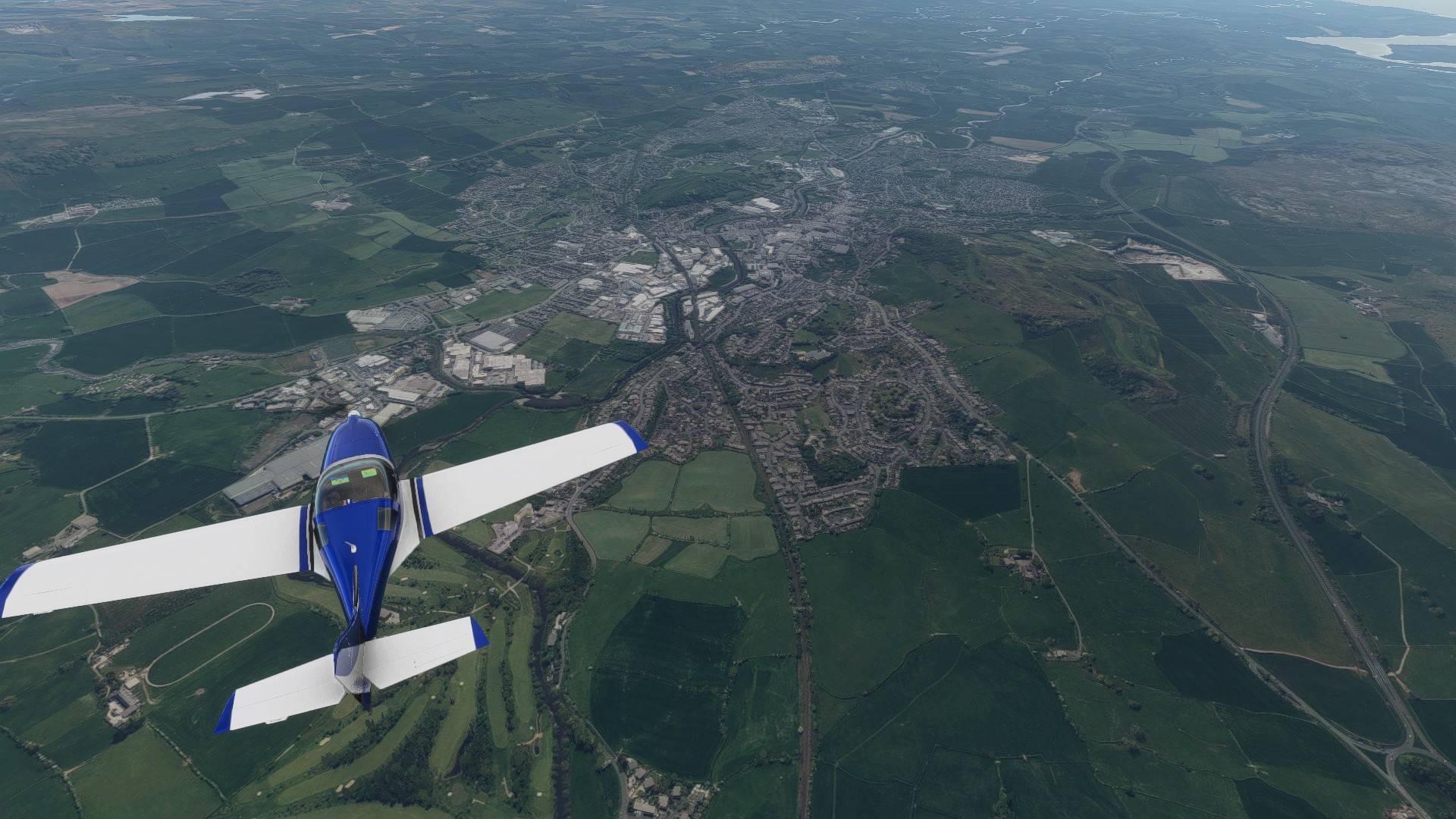
There are some improvements though. The train station appears to have been picked up, which was missed before the update and the football stadium looks a bit better as the stands aren’t drawn as office blocks. Outside the city centre, I think things look a touch better, though can’t find any old screenshots of this specific location.
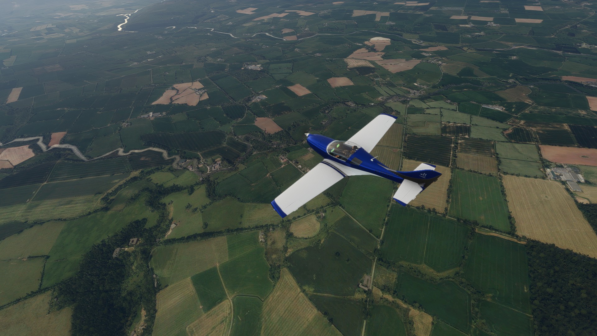
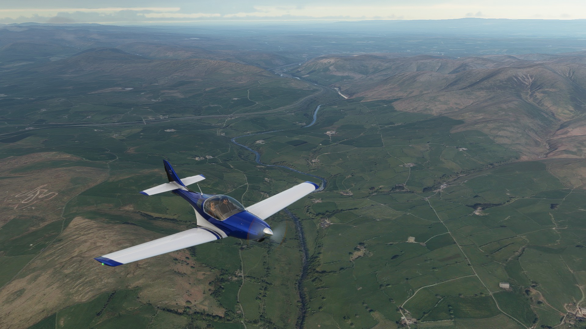
Flying over the countryside between Carlisle and the Lake District, the odd four-story office block where a farm should be still crops up here and there, but I feel much less and the farms and small villages look like farms and small villages.

Blencathra and the Vale of Keswick
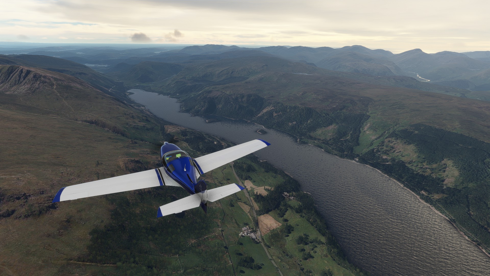
Thirlmere
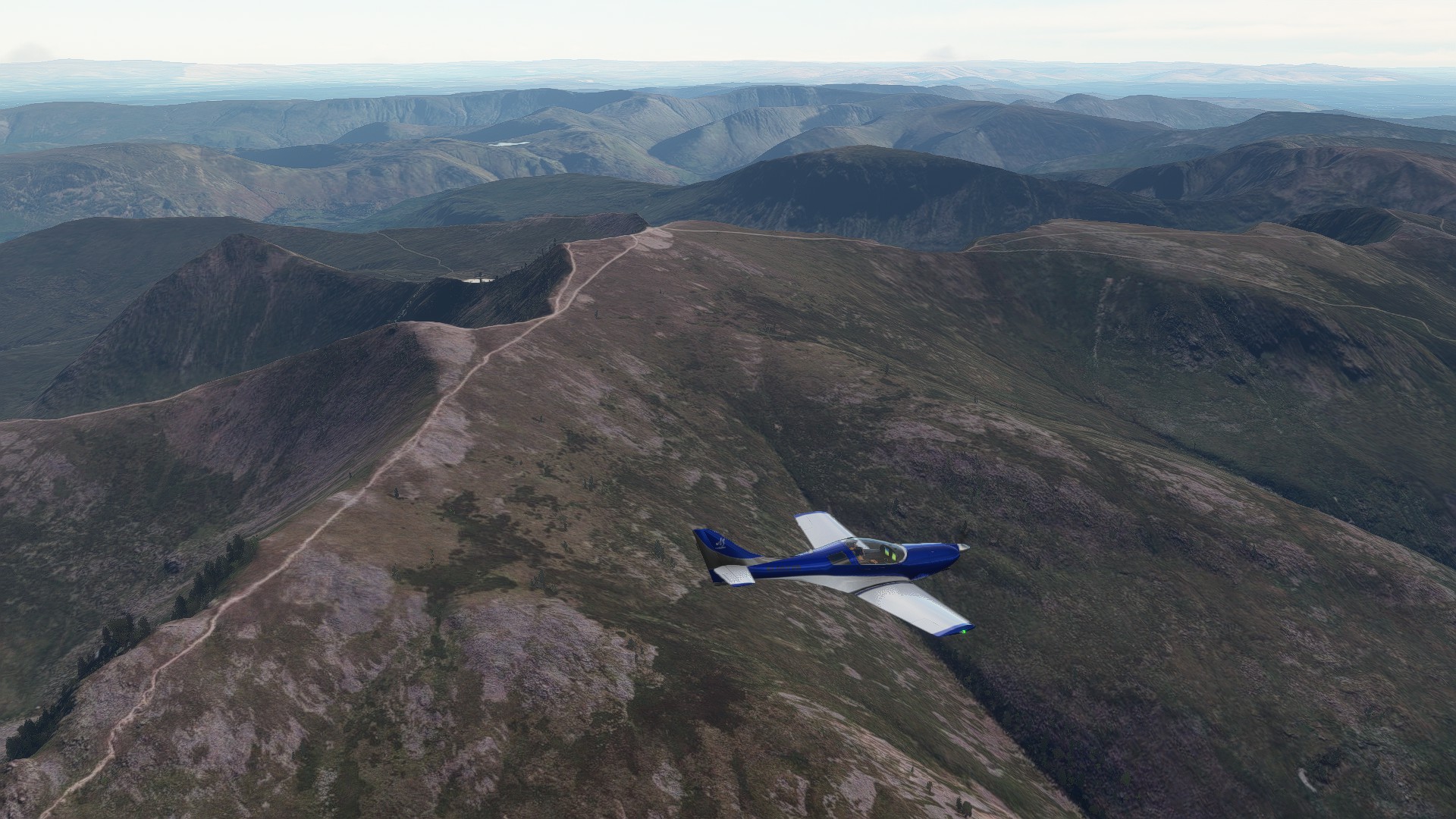
Helvellyn
Heading over the Lake District, I think at this point improvemets to the clouds are noticable, hard to tell but the weather just looks a bit more realistic than it did (especially given the typical cloud cover in this part of the world). The mountains have definitely improved in detail and look a bit rockier than they did. It’s not huge differences but I feel a lot more like I’m actually flying over these places than I did. I would say though that small rivers are still a bit too wide and promiment. The river you can see snaking off in the first image, although I’ve never seen it from this angle in real life, I don’t think would look like that. If you go to the same location on Google Earth, you have to zoom in quite far before you can even make out there’s a river there.
Ambleside

Windermere/Bowness
Kendal
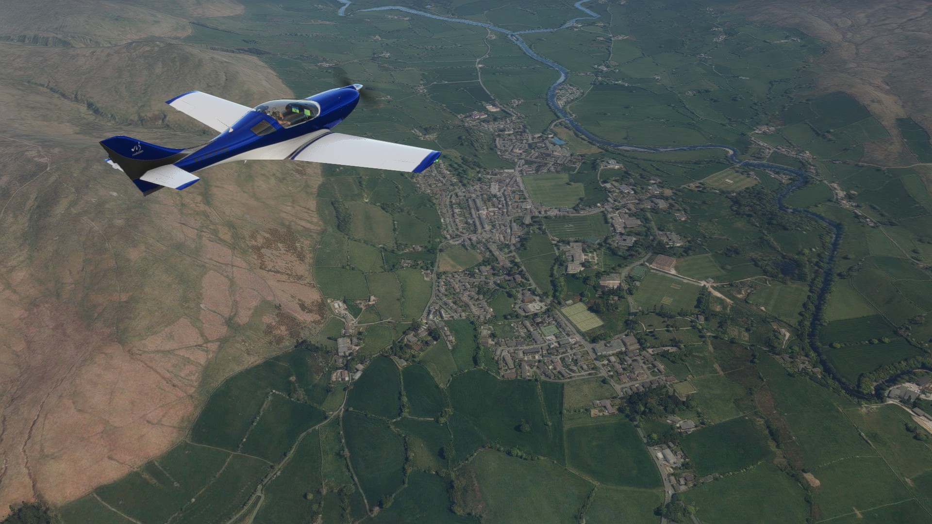
Lakeland towns to appear to be a bit more realistic looking, though I didn’t get a good look at all of them prior to the update. Compared to small towns I did fly over in the past though, they look a bit more realistic. You still have the expanses of flat roofs in Kendal town centre but being smaller, it’s not as prominent as in Carlisle, the scale of buildings seems to be in keeping with what you would expect. Roof colours seem to be a bit better preserved too, which is important given the local building materials add to the character (Kendal is known as the old grey town).

M6 Killington Lake Services
Lonsdale with the M6 around Tebay in the background
Sedbergh


Heading up and over the Pennines, things continue to look good, probably only minor improvements as the landscape here doesn’t need the higher resolution for detail, but Sedbergh looks good and again buildings seem to be mostly in keeping with what you would expect.

Penhill


Leyburn
Jervaulx Abbey
North Stainley
Thornborough Henge ancient monument
On the other side of the Pennines, we’re into Yorkshire, and the again, it’s just feels a touch better than when I flew over this area in the past.

Ripon

RAF Dishforth and the A1

Boroughbridge
A rogue tower block, but still only one and it looks reasonably farm-like
Alne
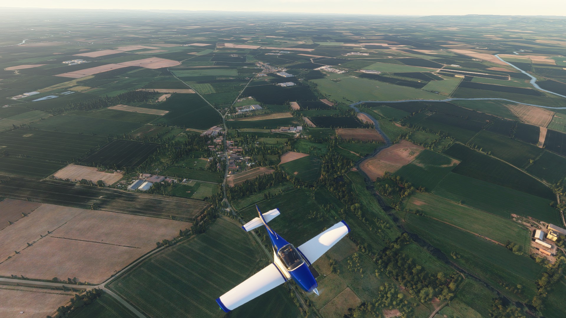
Flawith
Flawith and a Farm
York Minster in the distance
As I approach York, things look pretty good. York Minster is the only landmark on this flight and it is visible in the distance. A couple of small villages look good and can make out some of the church archetypes. I think IRL, some of the cooling towers of coal-fired power stations in the area would be visible.

Haxby


City Centre and Minster

Note a couple of churches in the suburbs in the foreground
York seems to look a bit better than Carlisle, maybe it was the angle that made it harder to see the expanse of flat roofs I complained about before, maybe the hand-crafted minster makes me feel they’ve done a better job or maybe just the base data is better. It looks more like a medium sized city.

At Rufforth, I get to see a couple of quite nice building styles that I don’t think were around before.