ETM9 Enhanced Terrain Mesh 9m for Azores Archipelago (partial)
This is an Enhanced Terrain Mesh derived from Sentinel-1 mission of the European Radar Observatory for the Copernicus joint initiative of the European Commission (EC) and the European Space Agency (ESA), 0,365 arc sec (9 meters). Mainly the area covered by this terrain mesh is related to the region of … see coverage map.
ETM9 Enhanced Terrain Mesh 9m for Azores Archipelago - San Miguel and Santa Maria Islands
ItalianCharter Team on Discord: Discord
On Discord: Gjanosh61#9850
3 Likes
ETM 9m Azores Archipelago - Enhanced Terrain Mesh 9m for Azores Archipelago - version 0.9.3
Work in Progress
This is an Enhanced Terrain Mesh derived from Sentinel-1 mission of the European Radar Observatory for the Copernicus joint initiative of the European Commission (EC) and the European Space Agency (ESA), 0,365 arc sec (9 meters). Mainly the area covered by this terrain mesh is related to the region of … see coverage map.
Affected Sceneries
Any large Payware and Freeware Airport I could think of, has been excluded from the mesh. So hopefully the glitches will be minimal. The coastline should be completely redesigned … it could be the subject of a separate project.
Some airports (LPPD, LPAZ and LPLA) have been corrected to fit the new terrain mesh. Some in particular I corrected the taxiway names.
Completely remove previous version. Please report any bugs with sceneries or airports and I will see what I can do!
Created using MSFS Toolkit by Nool Aerosystems (MSFS Toolkit)
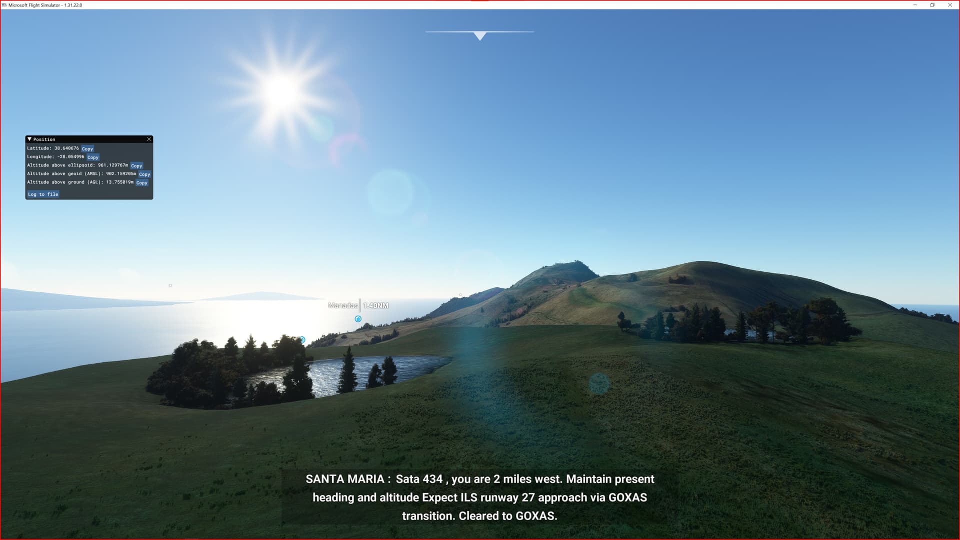
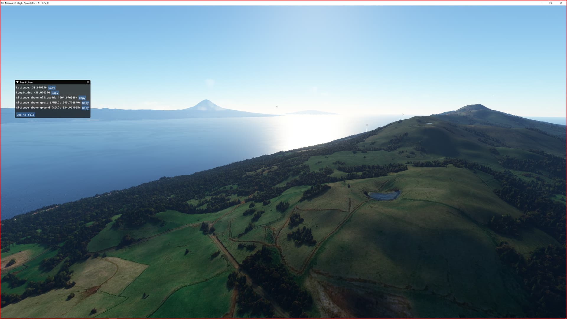
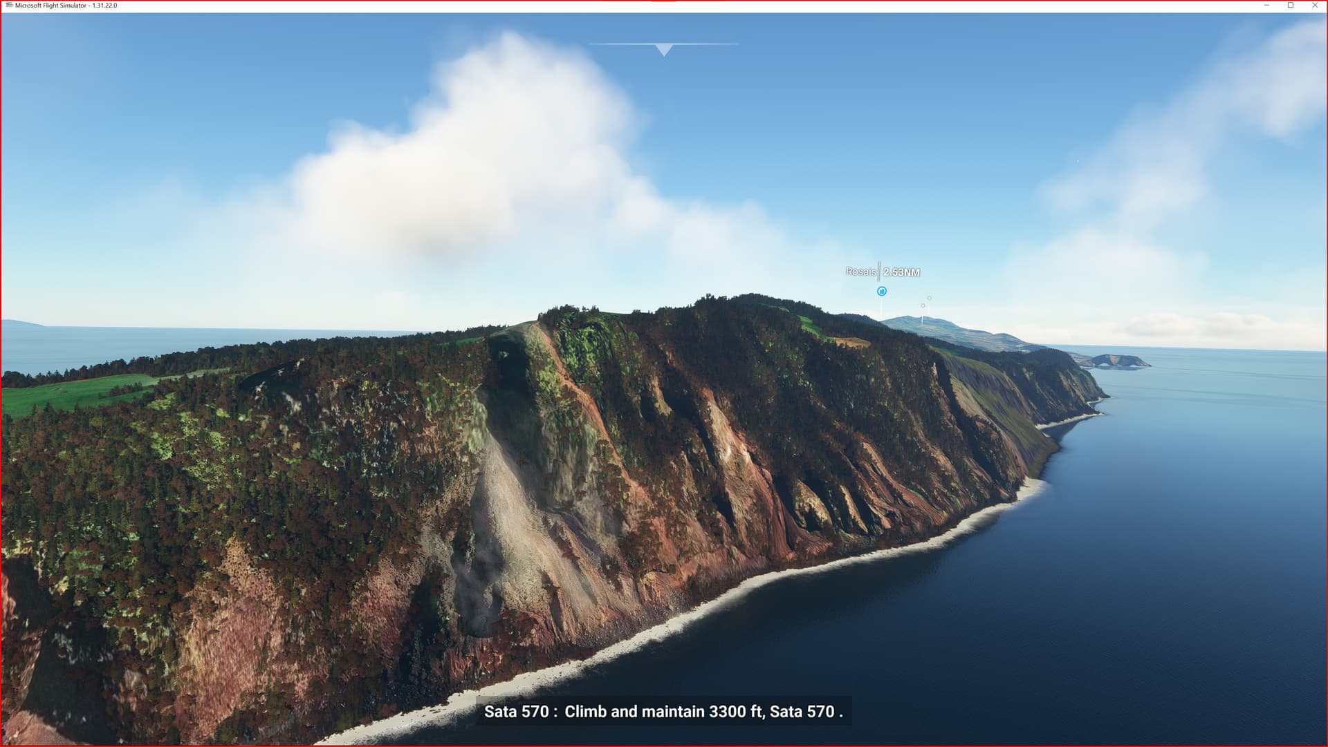
Enjoy your VFR flights above the Azores archipelago!
ETM9 Enhanced Terrain Mesh 9m for Azores Archipelago
1 Like
ETM 9m Azores Archipelago - Enhanced Terrain Mesh 9m for Azores Archipelago - version 1.0
Final Version
https://it.flightsim.to/…/etm9-enhanced-terrain-mesh-9m…