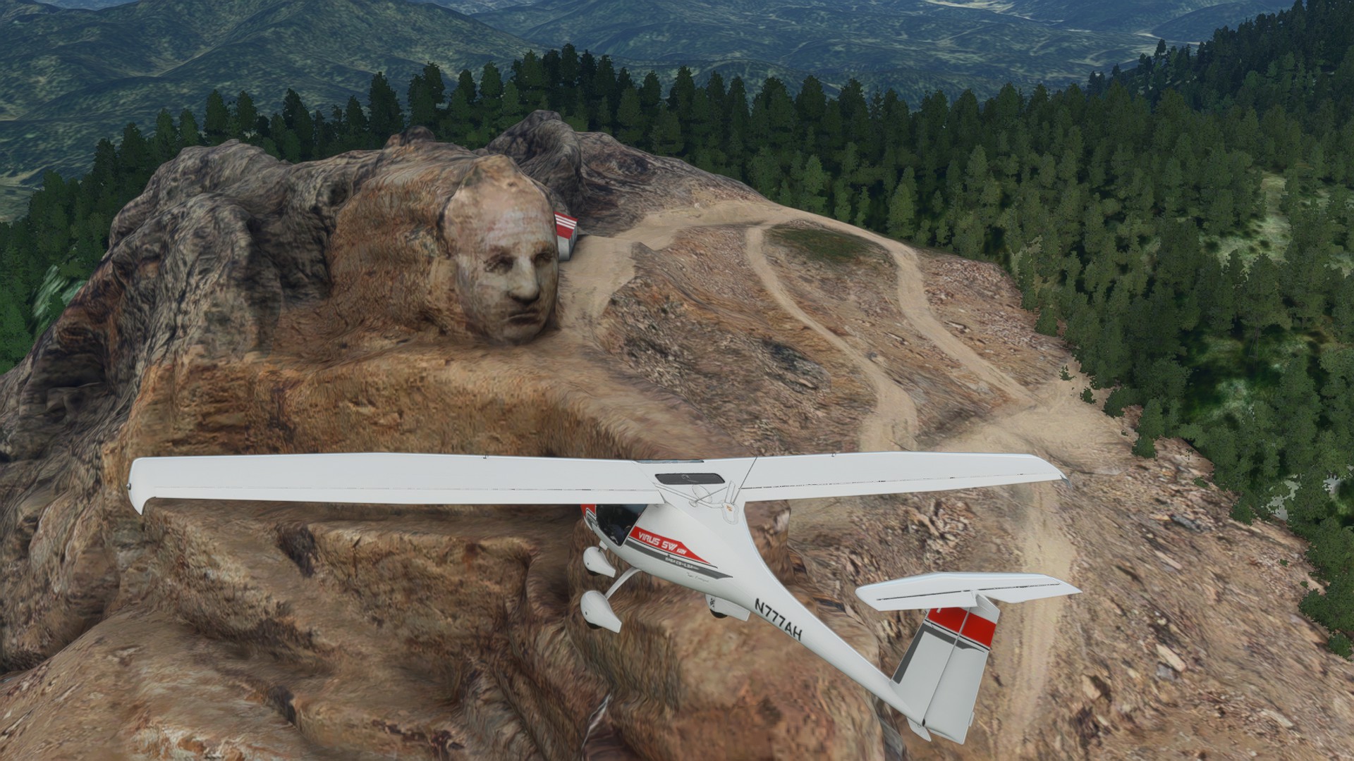
Launched out of a rough strip near the Tower, then headed South into the Black Hills to visit the Crazy Horse and Mount Rushmore, landing at Rapid City Rwy 14 VFR.
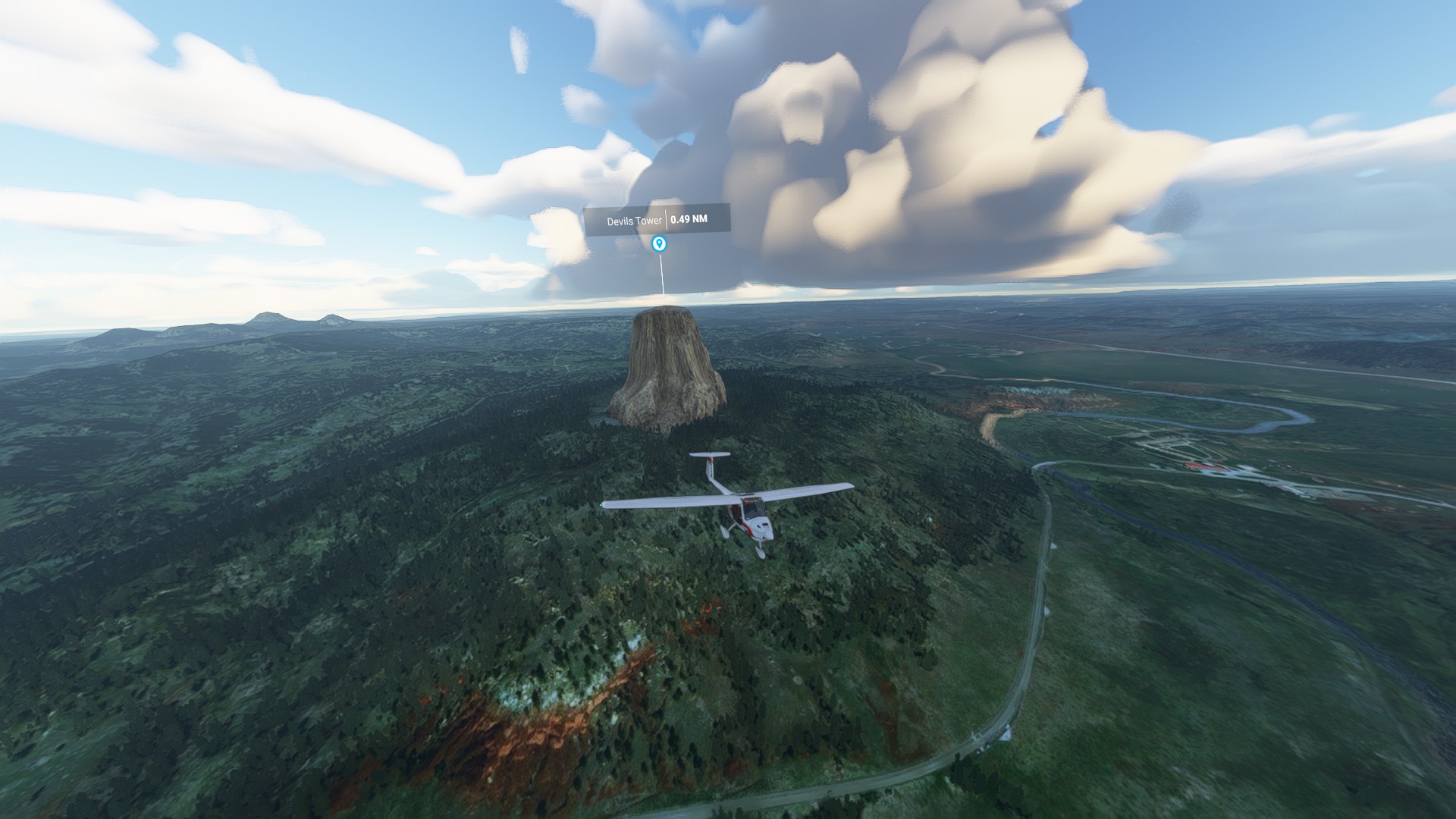


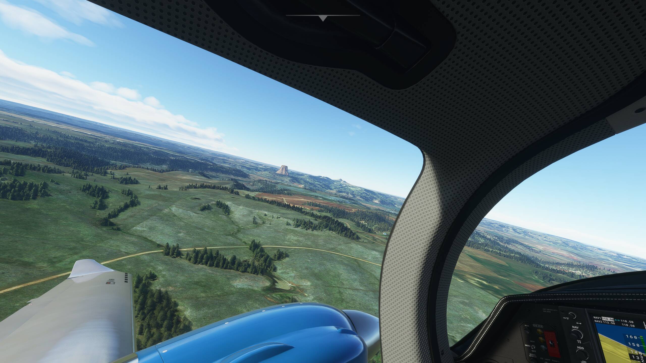
Mt. Rushmore and Crazy Horse looked great after the update, but Devil’s Tower was nothing but a hole in the ground.
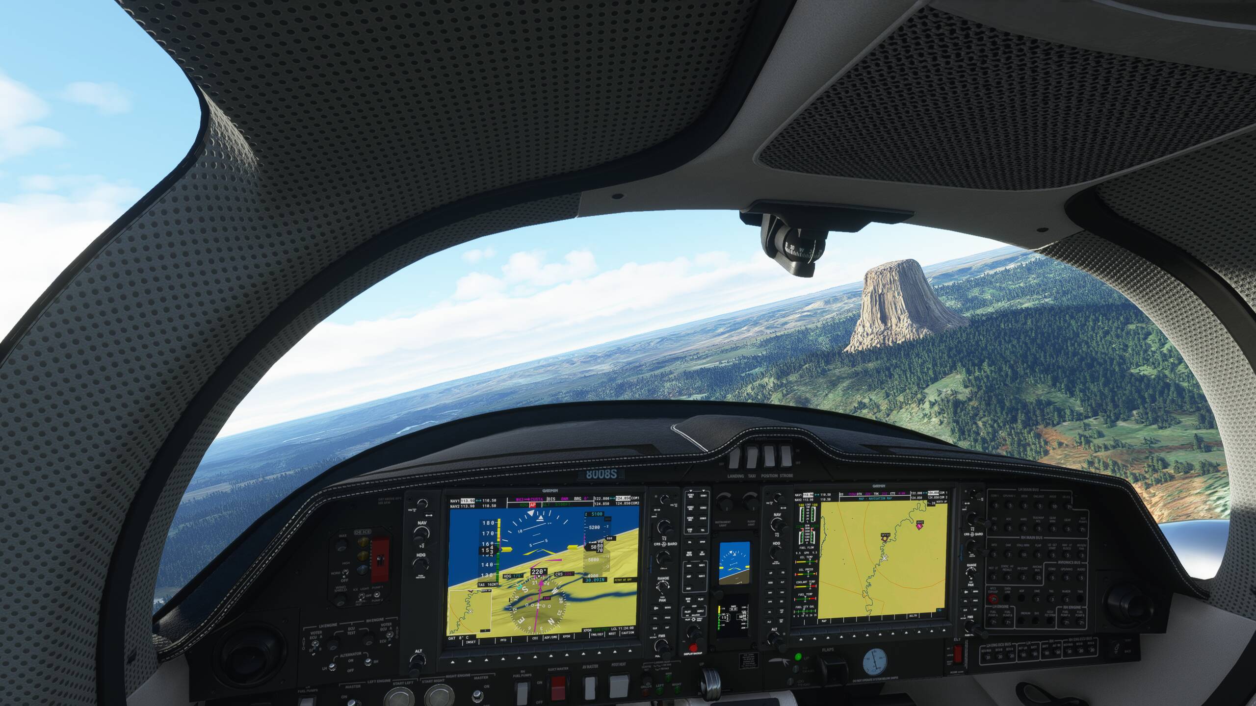
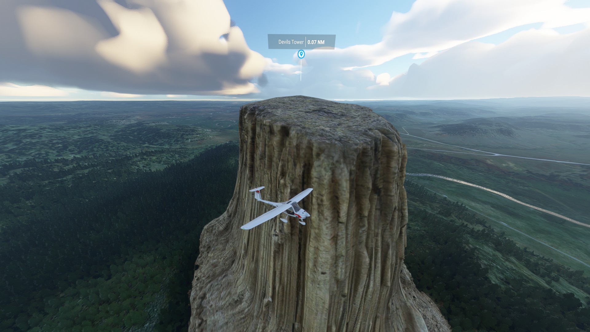
The Tower didn’t load until I was on top of it. Until then it was just a flat hill.
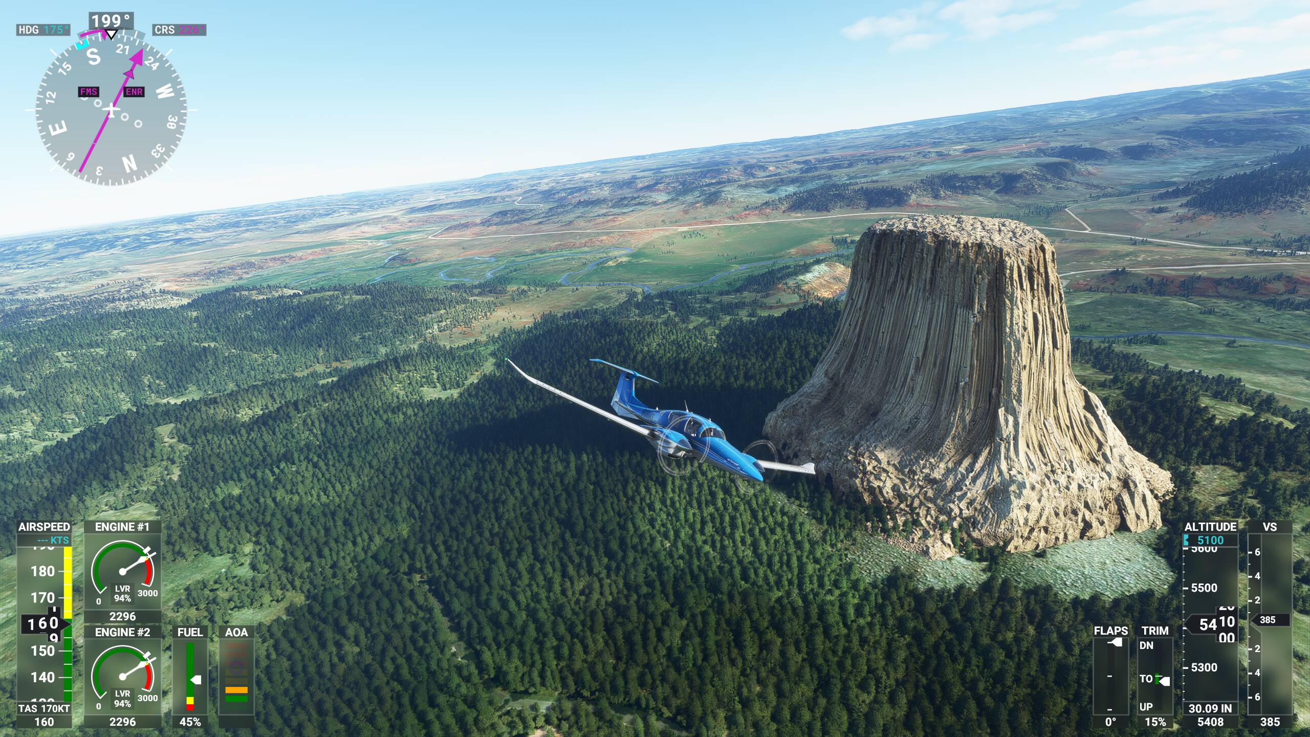
Same exact thing, for me, flew GPS FMS route from W43, direct to the Devil’s Tower POI marker in Map. Flying along, fat, dumb. and happy at ~1000 AGL…did NOT see the Devil’s tower until I was literally ON TOP OF IT. Had to break hard right to avoid terrain/crash, but once it loaded in, it seemed to be persistent all the way back to W43! That was nice, and surprising
!