Hi, can you explain me what are the lines (blue,orange) on the vfr map?
Thx
Those are different classes of airspace.
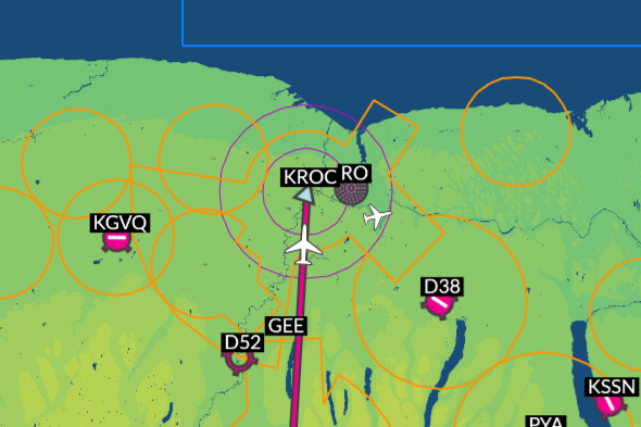
Right now I’m flying near Rochester, NY. Here’s what the VFR map shows:

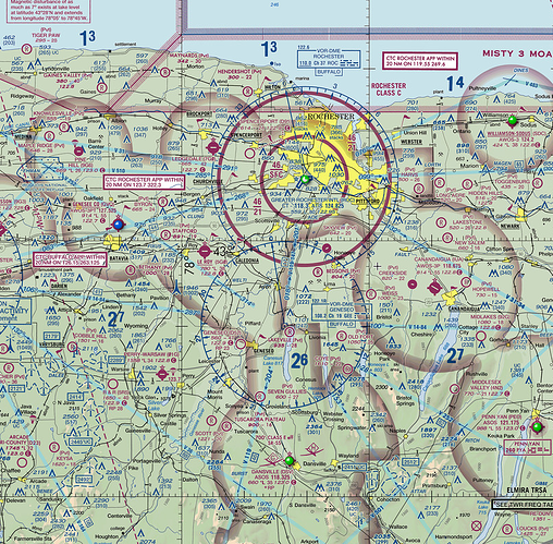
And here’s the aero chart for the area:
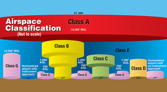
I’m still learning to read these so someone please correct me if I’m wrong… but I believe the orange lines show ground-level Class E airspace around uncontrolled airports and the purple rings are Class C airspace. The rings are because Class C airspace is sort of tiered-funnel shaped, like this:
The blue square to the north is restricted airspace in RL.
2 Likes
Ok thanks for the info

