That’s a MAJOR omission which first of all shouldn’t have been the case on day 1. If it’s indeed there, then I think it should have been fixed on priority before anything else. Anyone who’s even remotely familiar with real flying knows what a sweat breaking exercise it is to land in low visibility which may not always be due to clouds and precipitation.
4 Likes
That is something NEED to be fixed. Its imposible see more than 200km in certain areas.
That could be fixed as soon as posible because it destroy the flying experience.
The haze and light scattering doesnt exist in that simulator.
1 Like
Exactly! This visibility issue has been mentioned many times.
1 Like
And they said multiple times in Q&A that their current engine doesn’t support this but they’re planning a refactoring of it, which will enable this and more, planned for 2022 if I remember correctly.
There are certainly higher prio issues right now than this at the moment. But they’re planning it (maybe even started work, who knows).
If you put three layers of solid cloud with the cloud base several thousand metres below ground level, you can get visibility down to about 700m. Add a chunk of aerosol, about 600m, depending on sun angle. But there is no proper control of visibility through presets.
Not what I’d expect from a sim.
They really need to sort it out. Limited to three cloud layers, no control of visibility caused by humidity, no control of type of cloud, no control of inversions, no thermals, nerfed turbulence, the list goes on and on.
The weather model data is there. Meteoblue have a good model and models from other providers are also available. The engine that turns that into visuals and the effects on aircraft is not so good. The weather presets UI, pretty awful too.
The possibilities are right there, volume rendering of clouds is fantastic, way better than I could have hoped. The hard bit is solved.
Open up a Weather API and see what the community can do. But make it meteorologically accurate and consistent. That is a few basic physics/gas laws. Definitely not rocket science ![]()
I’m not sure about that. This is Live Weather, that’s 80’ AGL and visibility down to .12 nm (220 m or so) laterally. Zoom in, you can just see the runway threshold. That’s the range when I broke out the lights.

Looks like you where (un)lucky enough to end up inside heavy rain cells according to the WX overlay on your ND, this will pull the visibility down significantly.
Inside heavy rain is the only time I’ve seen MSFS manage to create real low vis conditions.
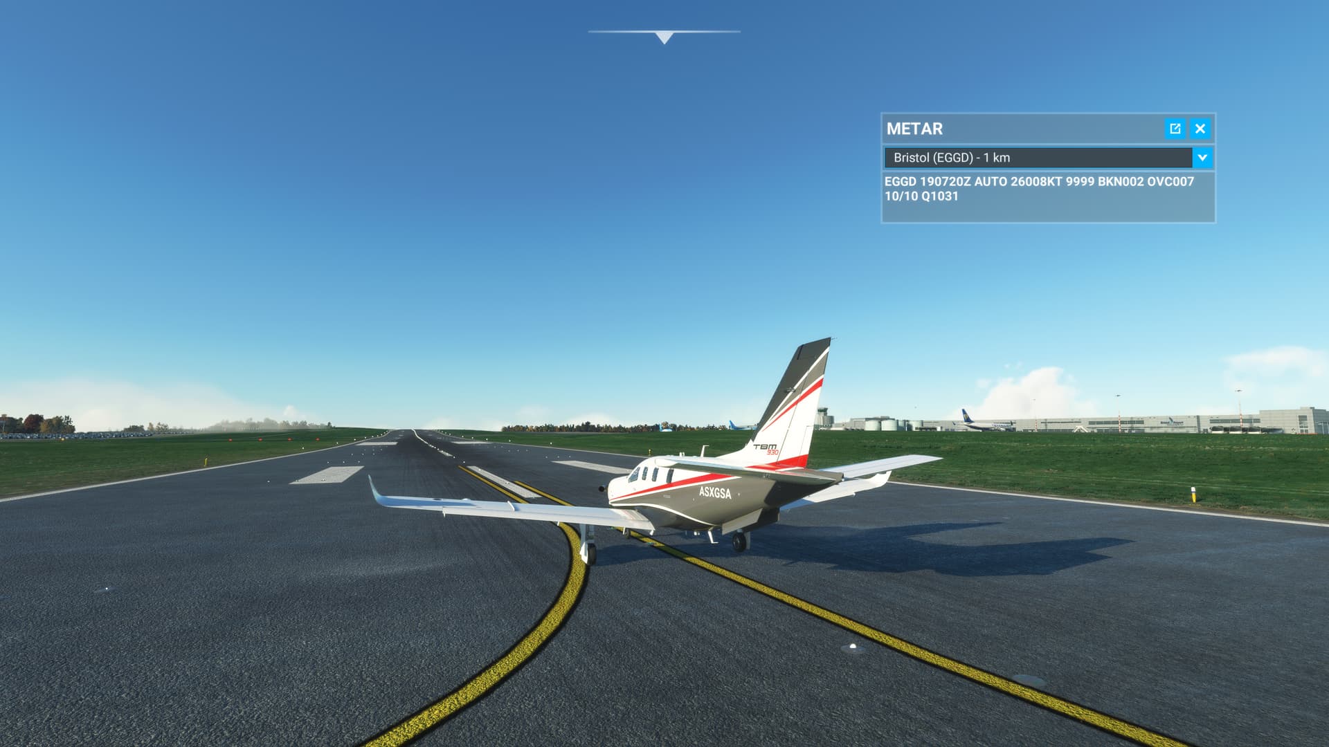
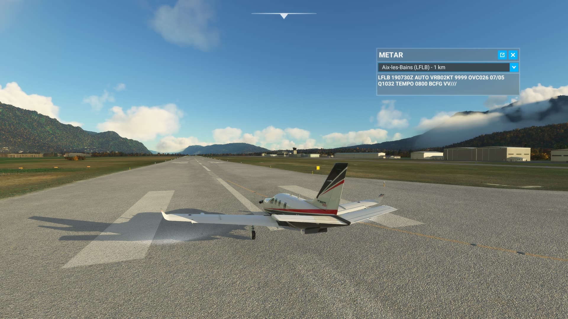
But without rain, much less visibility reduction, no matter what the ATIS / TAF / METAR says…
Also live weather:
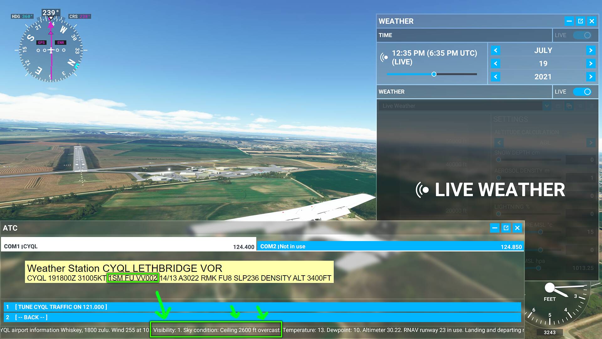
Reported visibility, 1/8 SM, sim visibility close to 1.5 SM

This this overlaps the Live Weather problems… But hands down, the sim is lacking the ability to consistently recreate low ifr conditions due to the atmospheric engine shortcomings, and promised features being left out. Pre release videos told us we would have Visibility / RVR settings, which we still don’t have.
And cloud density is very low, you often see the ground even though 1000ft inside a 100% overcast layer.
4 Likes
That’s not true. MeteoBlue actually has METAR data, it’s another thing if MSFS doesn’t have access to this or has left it out intentionally.

3 Likes
MSFS uses METAR when you’re arriving and departing, but only for the winds and temperatures. Once you’re in the air it turns into the forecasted weather. Which why the visibility doesn’t match all the time.
At least that’s what I got from dev comments on the matter.
The entire world doesn’t have METAR coverage (you can see that in your image), so there would be places with no weather, or only showing the weather from the closest station which could be hundreds of miles away or more.
Like you can see this when using METAR weather addons like REX, or Unreal Weather. You get the exact same weather as far as the eye can see until you hit the next station, and then it can dramatically shift. So you could possibly not see a storm on the horizon until it’s too late and you’re already in it.
REX at least tries to blend the weather together to try and make it less jarring, but that won’t help everywhere.
With the default Live Weather you can see that storm on the horizon for a fairly long time.
I want to add…it’s actually not as bad as it seems. Real weather usually fairly much matches the latest METAR but there are variances all the time. First off, METAR reports are usually done near the top of the hour and weather keeps happening. Sometimes the weather changes and forces the observer to do a SPECIAL but they’re, often, not fast about it. My suggestion? Just roll with it. Don’t try to hold Asobo’s feet to the fire to make it super accurate…let there be variances and deal with them. Real world pilots deal with this kind of stuff all the time. (And, on a side note, aviation forecasts are no better than your local forecast. Do not trust them too much.)
1 Like
I understand all of us hate that sudden reload and change of weather which happens because of change in ground based weather station during a flight and we have to give credit to Asobo for smoothening out things, but since they have so much computing power at hand in the form of Azure cloud servers which presently is being utilized to process and send photogrammetry data, I believe there would be ways to integrate real-time METAR data into the weather system as well so that at any given point of time, the cloud server has the weather model for entire globe right from ground elevation. There are payware weather addons like xEnviro for XP11 which already use this concept for weather generation and provide smooth transitions while also taking care of information from ground based stations.
I wouldn’t be too concerned about drastic changes in weather at a given location within a single day, even though that doesn’t happen all too often. I’m more disappointed when the airport is on IFR but I have clear visibility during approach though and through, and I’m taking example of regions in SE Asia and Middle East where such scenarios persist for days and sometimes even months together.
1 Like
I disagree. The old METAR station interpolation method of generating weather is inconsistent and impractical for much of the world. I think Asobo’s approach of using an independent and consistent weather model is much better.
3 Likes
Even if that approach misses out completely on certain aspects of weather? I disagree with that.
1 Like
METAR infos don’t update for every change of the actual weather. Sometimes they have temporary infos for weather events wich will possibly happen or not.
To simulate a changing weather system, MSFS has to predict the change because otherwise you will have a sudden swap every time a new METAR info is released.
But atleast they could have had some sort of low visibility simulation! It’s frustrating to see when airport is IFR as per sim’s own built-in ATC but I have crystal clear visibility of runway from miles away.
I have been able to check and in the game the visibility is around x3 on days with clouds and sun.
In other words, if in the game you can see or distinguish something at 100 km in real life you would only see up to 33 km.
This is unfortunate for a simulator from 2021.
We are not talking about animals, trains or “secondary” things. It’s basic stuff.
1 Like
That happens in the real world too. The observation is taken at the top of the hour and weather keeps happening. Just roll with whatever you got. (Yes, the weather station would, in some circumstances, do a special observation if the change is significant…and they weren’t distracted or lazy.) Personally, I think this weather is a much more realistic way of doing things.
1 Like
Based upon the readings from little navmap, it seems the weather model has started to get some real visibility data persisting on ground, however it doesn’t visually render it. If I am sensing it right, Asobo seems to have started working on this long standing issue, although we don’t have any official word on the same.
1 Like
Finally!!! after SU7, the sim is reading and simulating visibility data from METAR and visually depicting it, atleast around major airports. The fog coverage is not accurate though and extends way beyond the airport IRL in a much larger region since I personally know the smog cover in the region I’m talking about. I think it’s still understandable since sim is only reading it from METAR reports and not the global weather maps, Asobo needs to come up with some sort of interpolation logic to get around this.
So all in all, while the work still needs to be done, it’s a major step in the right direction. And btw, from my limited time with the sim since SU7 arrived, clouds visuals and clear air turbulence has definitely improved and I can happily live with the sim in it’s current state till next major update in Feb next year.