What is this project? Well, you certainly know that there are a lot of guides online about what places you have to visit in specific countries, states or provinces. I just thought - why not take these guides and follow them to discover the most beautiful places on Earth?
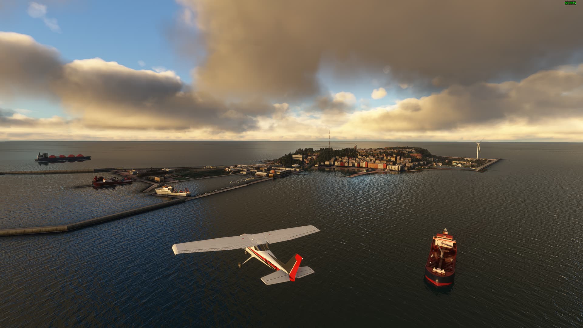
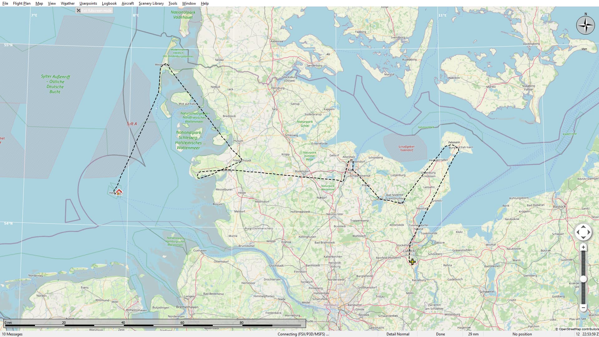
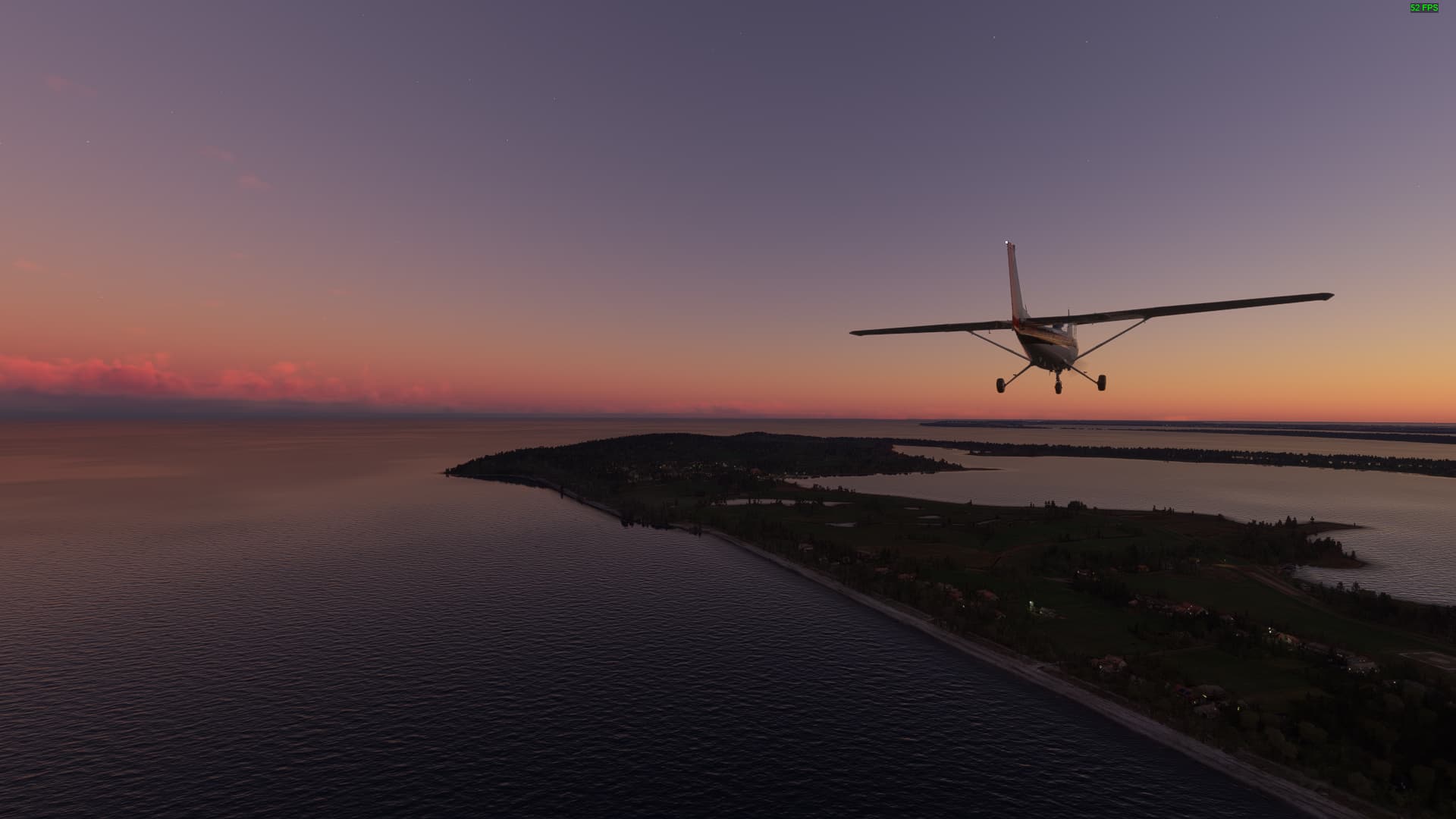
If you take off from EDXH in a southern direction you will come across the Südreede or “southern harbour” of Helgoland. To be honest, I never seen that many different ship types hanging around a single island.
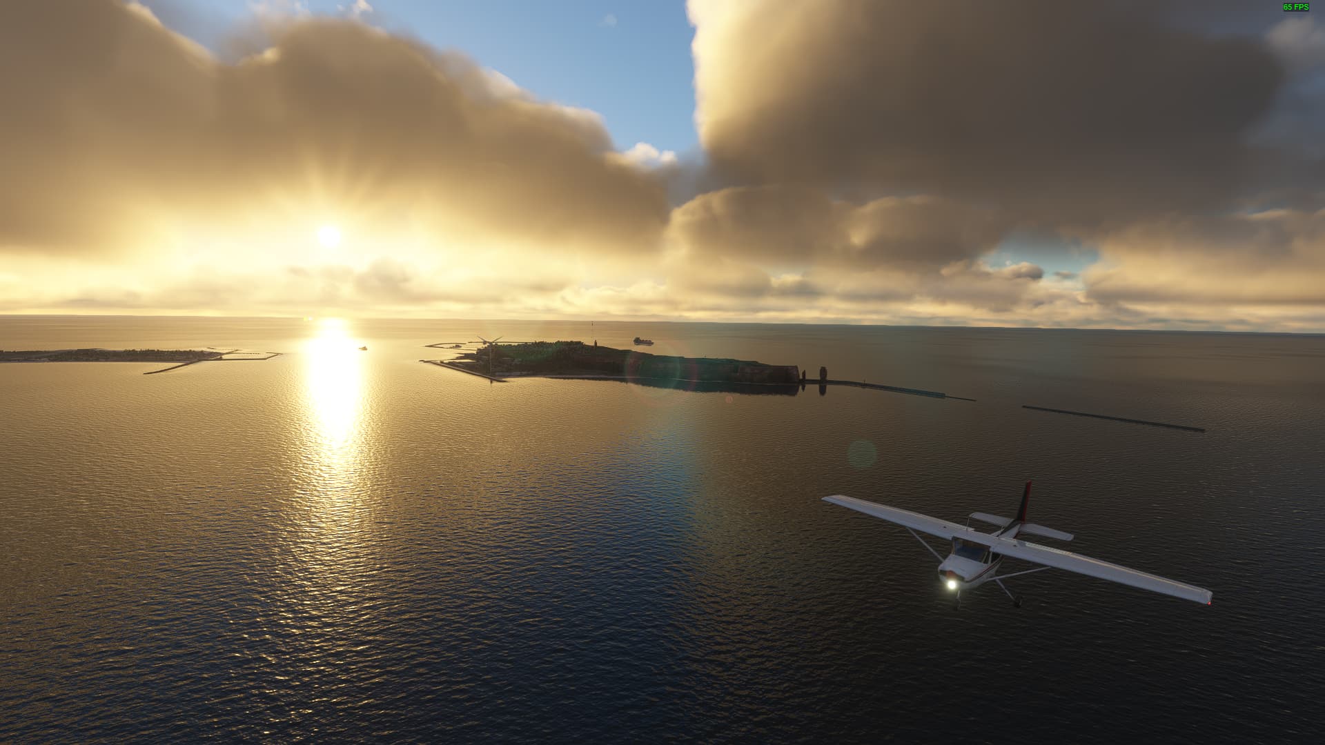
Leaving both islands (Helgoland to the right, Düne to the left) behind us. You can still see the “Lange Anna” (lit. “long Anne”), Helgoland’s iconic rock formation near the western end of the island (right side).
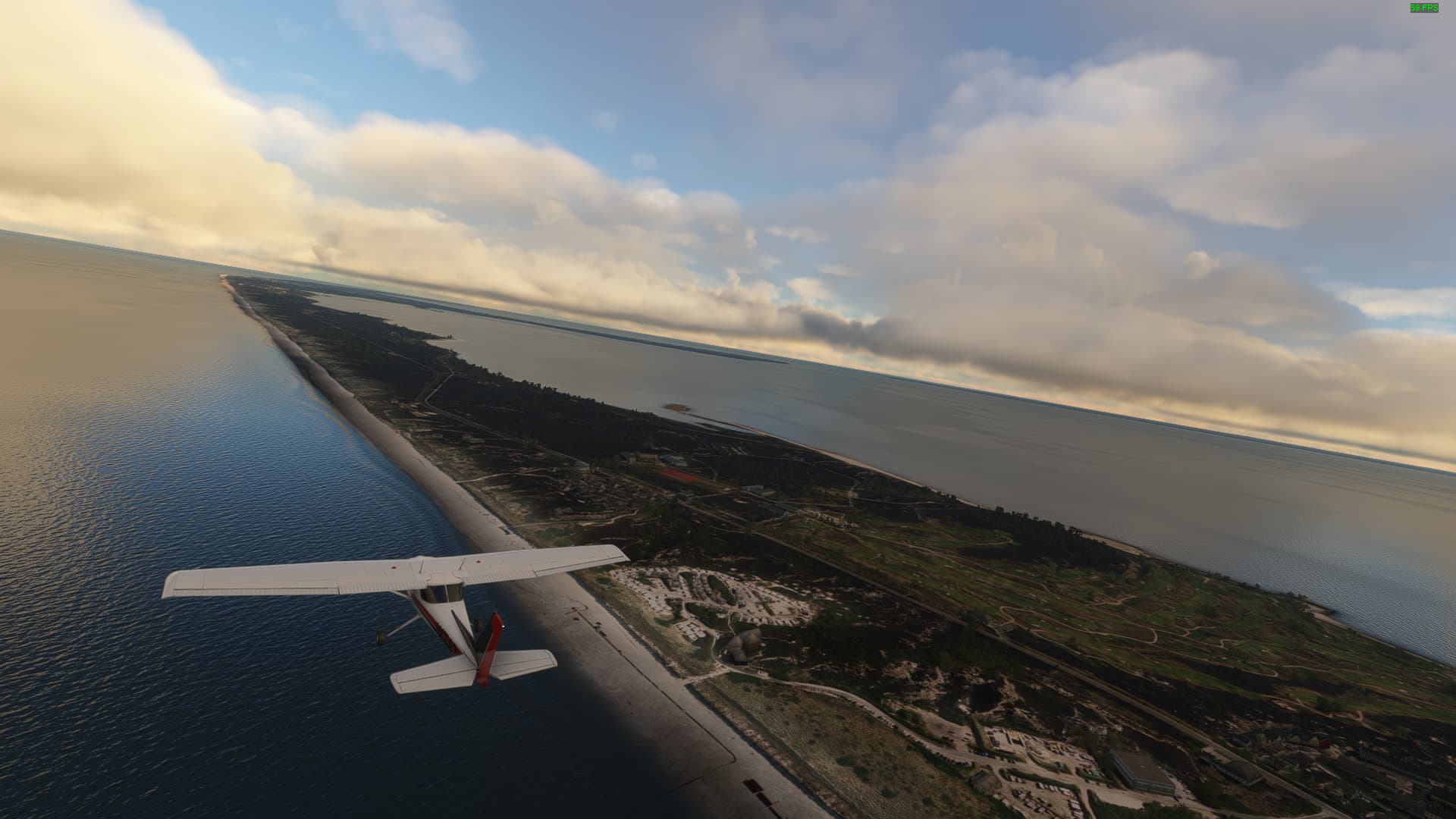
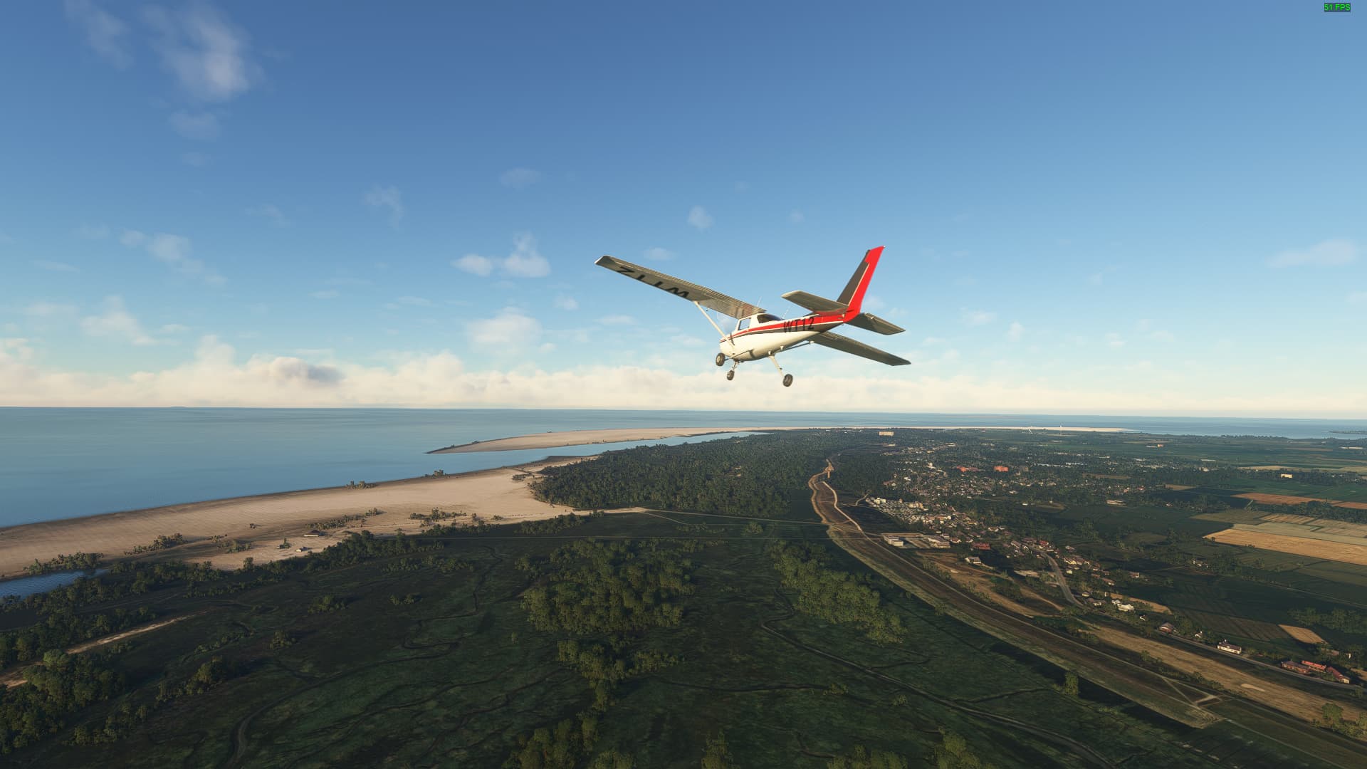
After about twenty minutes we reached the island of Sylt with its beautiful beaches and high-class tourists. This shot was taken at the southern tip of the island near Hörnum (Sylt).
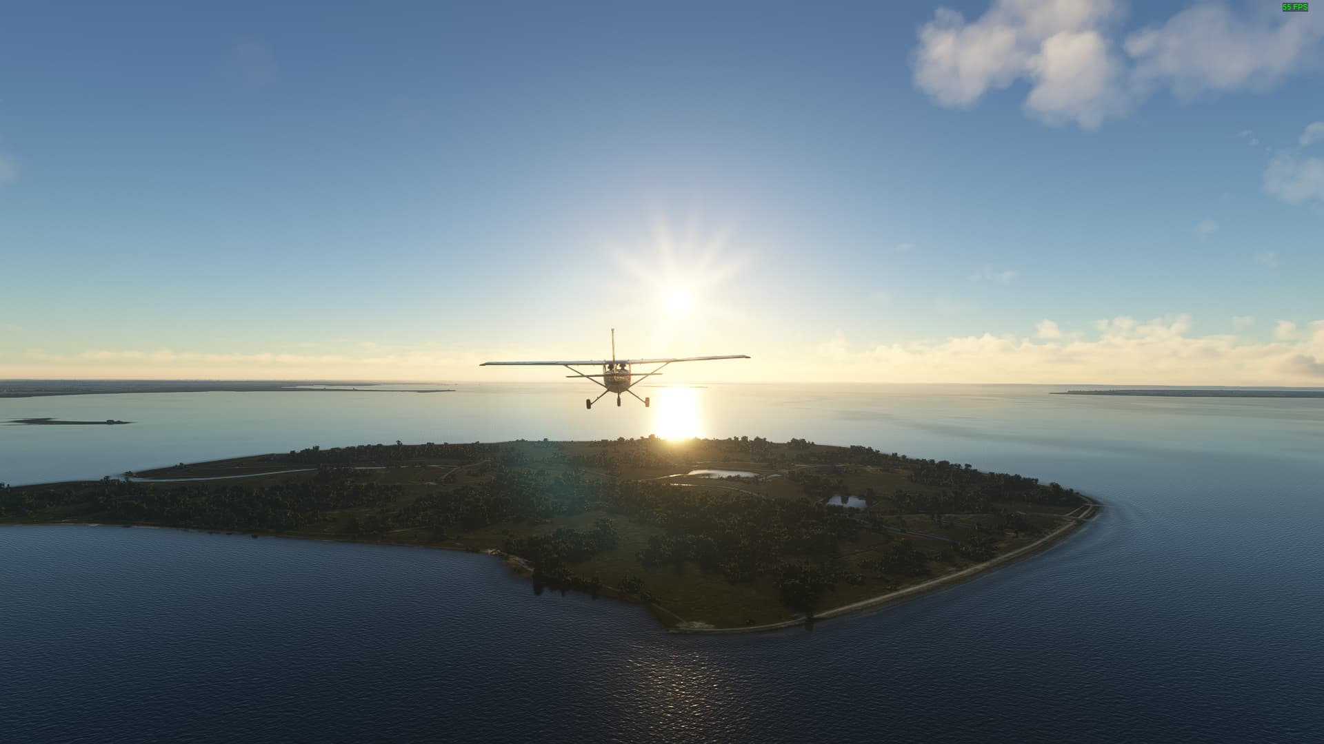
Leaving Sylt we turned southeast and crossed the Nordfriesisches Wattenmeer / North Frisian Wadden Sea. Half way through we reached the Hallig Gröde with Gröde Village, one of the smallest settlements in all of Germany with only 8 residents.
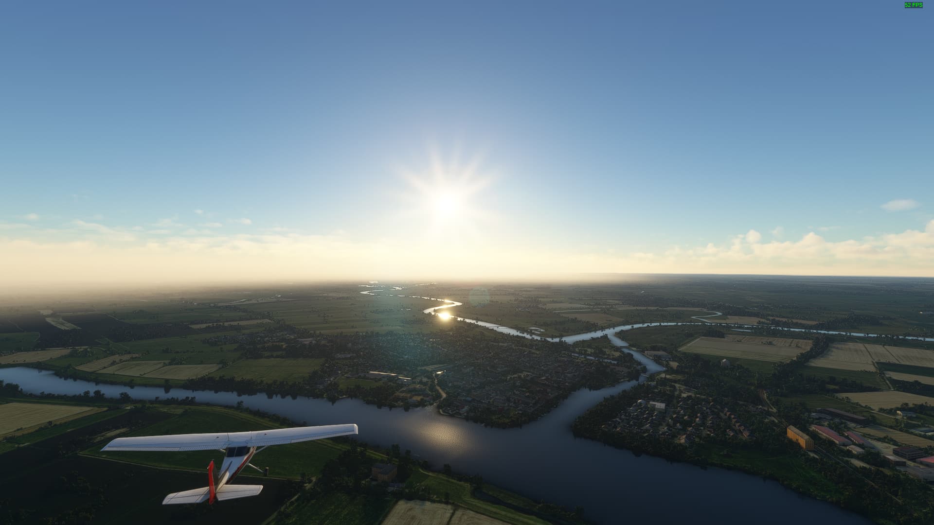
This town on the confluence of Treene and Eider River is called Friedrichstadt. Known as a “city of tolerance” it was once home to the Remonstrants, a persecuted branch of Dutch Calvinism, who were invited by the local duke to turn Friedrichstadt into a regional trade hub.
The last place we visit today is St. Peter Ording, a natural health resort known for its sulfuric waters. The dunes to the left weren’t always this placid - due to their wandering nature they destroyed two of former St. Peter’s medieval churches before being “tamed” in the early 19th century by planting beach grass on top of them.
After exploring Nordfriesland, we set off to cross the entirety of Südschleswig / Southern Schleswig towards Kiel with Tönning being the first town we passed. The town prospered - just like Friedrichstadt - after an influx of Dutch settlers and religious refugees in the early 17th century.
Further east we came across an historical border town: Rendsburg sits at both sides of the Nord-Ostsee-Kanal, which connects the North Sea with the Baltic Sea. Here lies the old border of (Süd-)Schleswig and Holstein, which together form the modern state of Schleswig-Holstein.
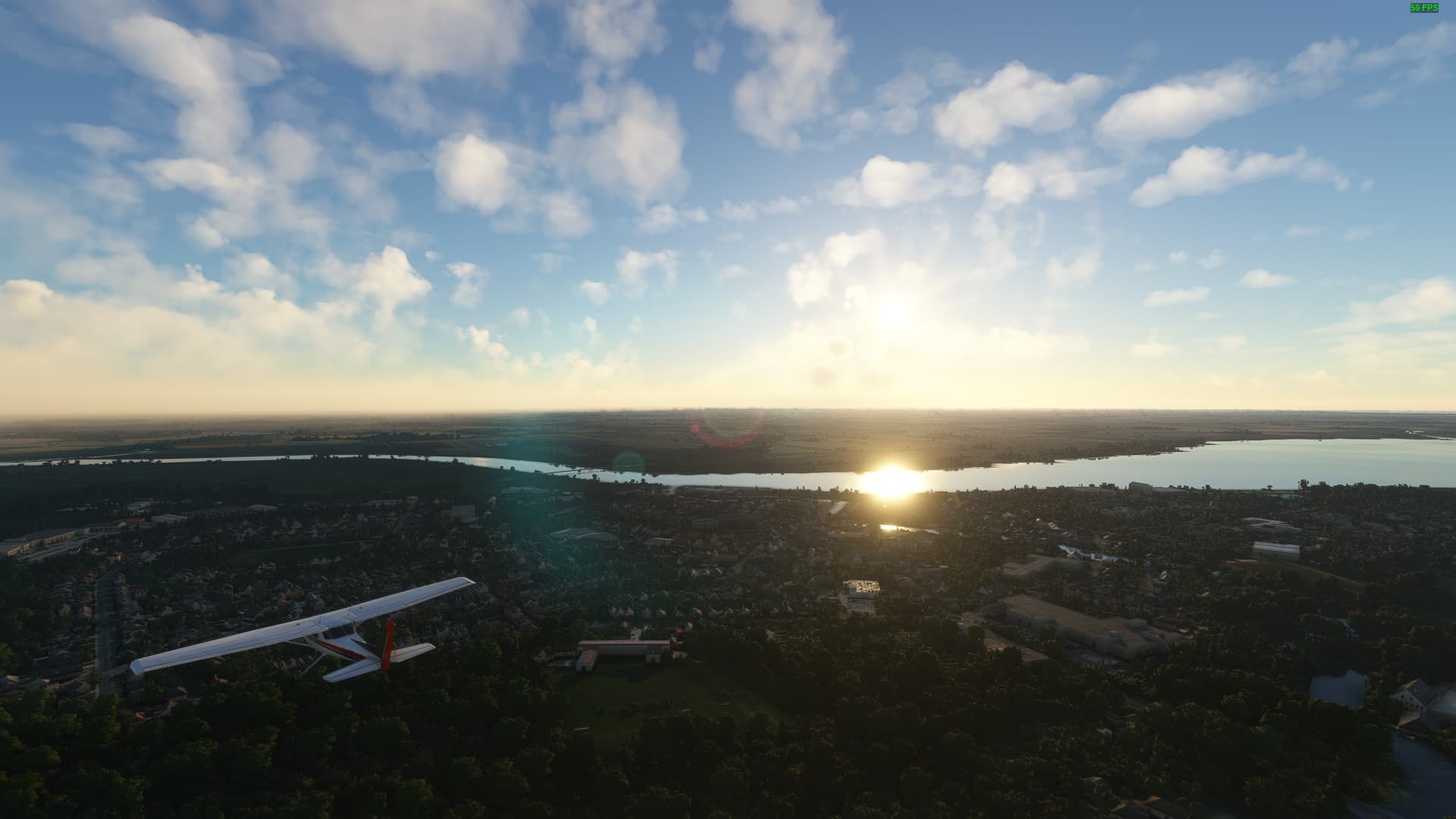
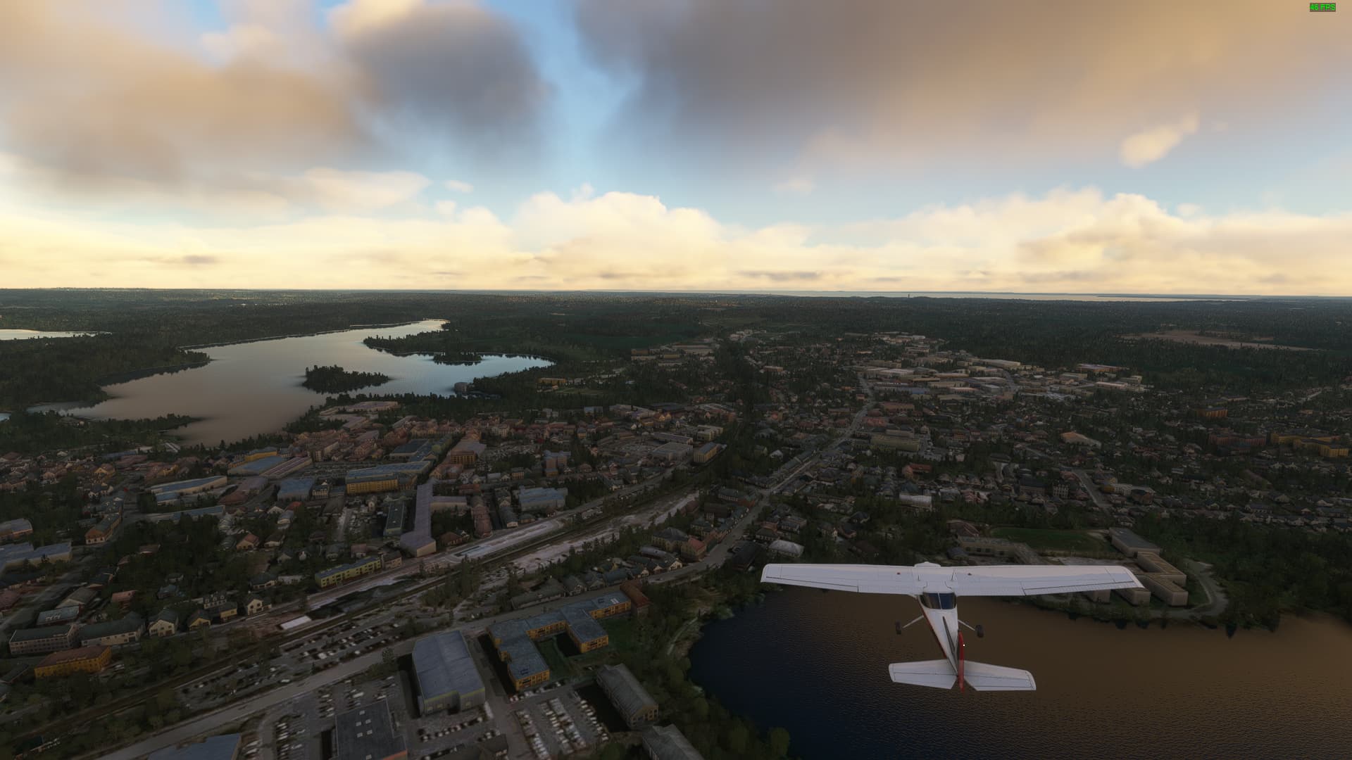
Closer to the Baltic Sea the fog dissipated, giving us our first view of the state capital of Kiel (the white spot in the left background) from above the village of Molfsee. Here you can find a large open-air museum, located in the old Gut Schulenhof / Schulenhof Estate with more than 60 historical buildings.
We managed our crossing of Schleswig and arrived in Kiel. You can even see the Kieler Förde, the city’s natural harbour, in the distance. From here, we will continue our exploration of the second part of Germany’s northernmost state - the region known as Holstein.
Leaving Kiel behind us we made our way across the Holsteinische Schweiz / “Holstein Switzerland”, reaching Plön as our first landmark. This town is surrounded by lakes with the Großer Plönsee as the largest. It is known for both its 17th century chateau as well as for its Bundesmarine NCO school.
Further east we came across the district capital of Eastern Holstein, Eutin. Dating back into the 7th century, Eutin / Utin was a major settlement of the Slavonic Obodrites, before being populated by Dutch settlers and later becoming the seat of the Prince-Bishopric of Lübeck due to Lübeck itself being a Free City of the Holy Roman Empire.
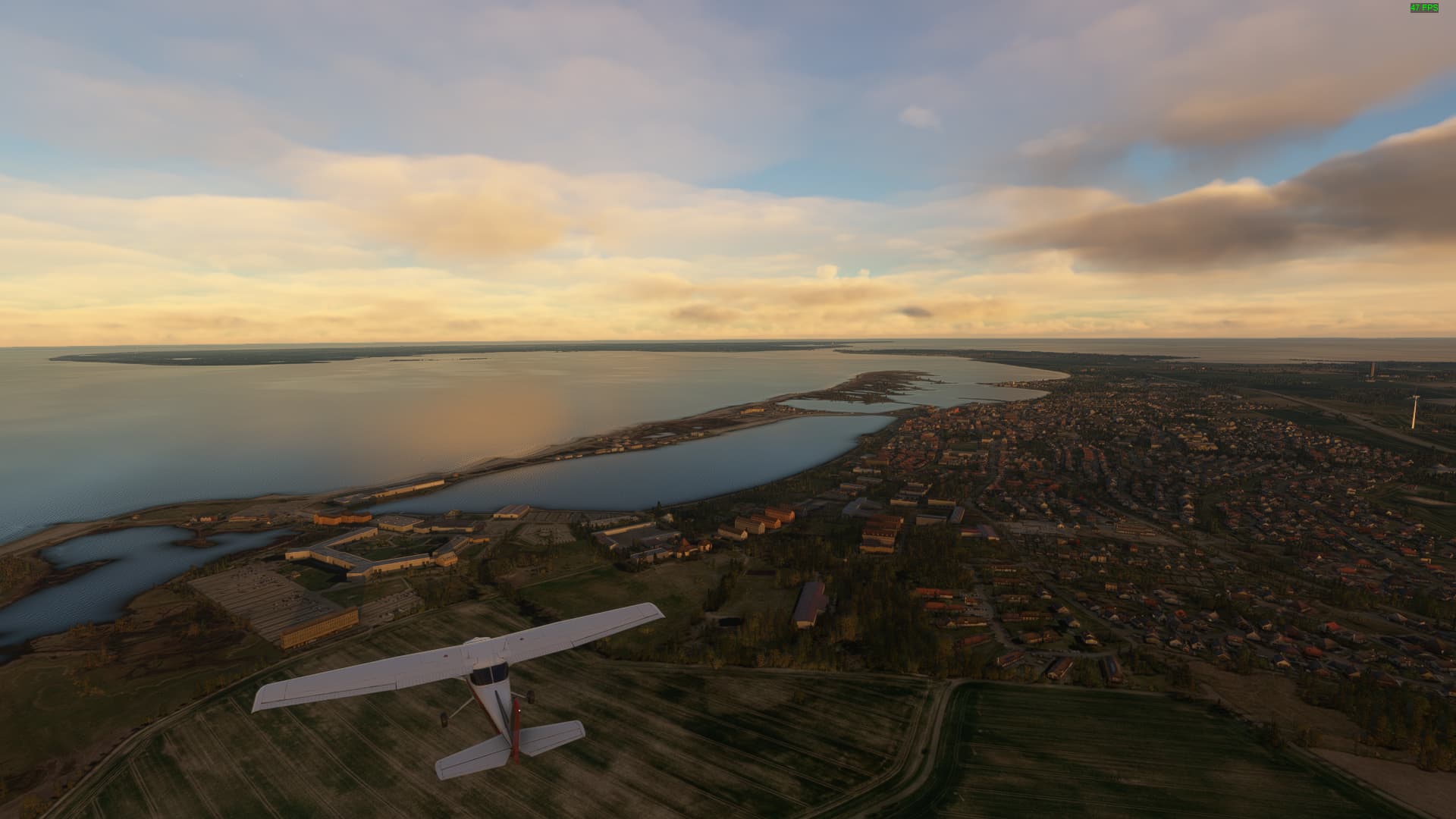
Before crossing over to the Island of Fehmarn we visited Heiligenhafen on the Baltic Sea. It is home to a protected bird area called the Graswarder on one of its two headlands.
After we reached the Island of Fehmarn during our last flight, we spent some time exploring it, first by visiting the main settlement Burg auf Fehmarn, which served once as a regional trade port until Swedish forces demolished the natural harbour beyond repair during the Thirty Years War.
Further south we found the Burger See, the remnant of the old harbour with the ruins of Burg Glambek on its eastern headland. A golf course with an adjacent camping area is located on the western headland while a wind park was set up on the northern shore.
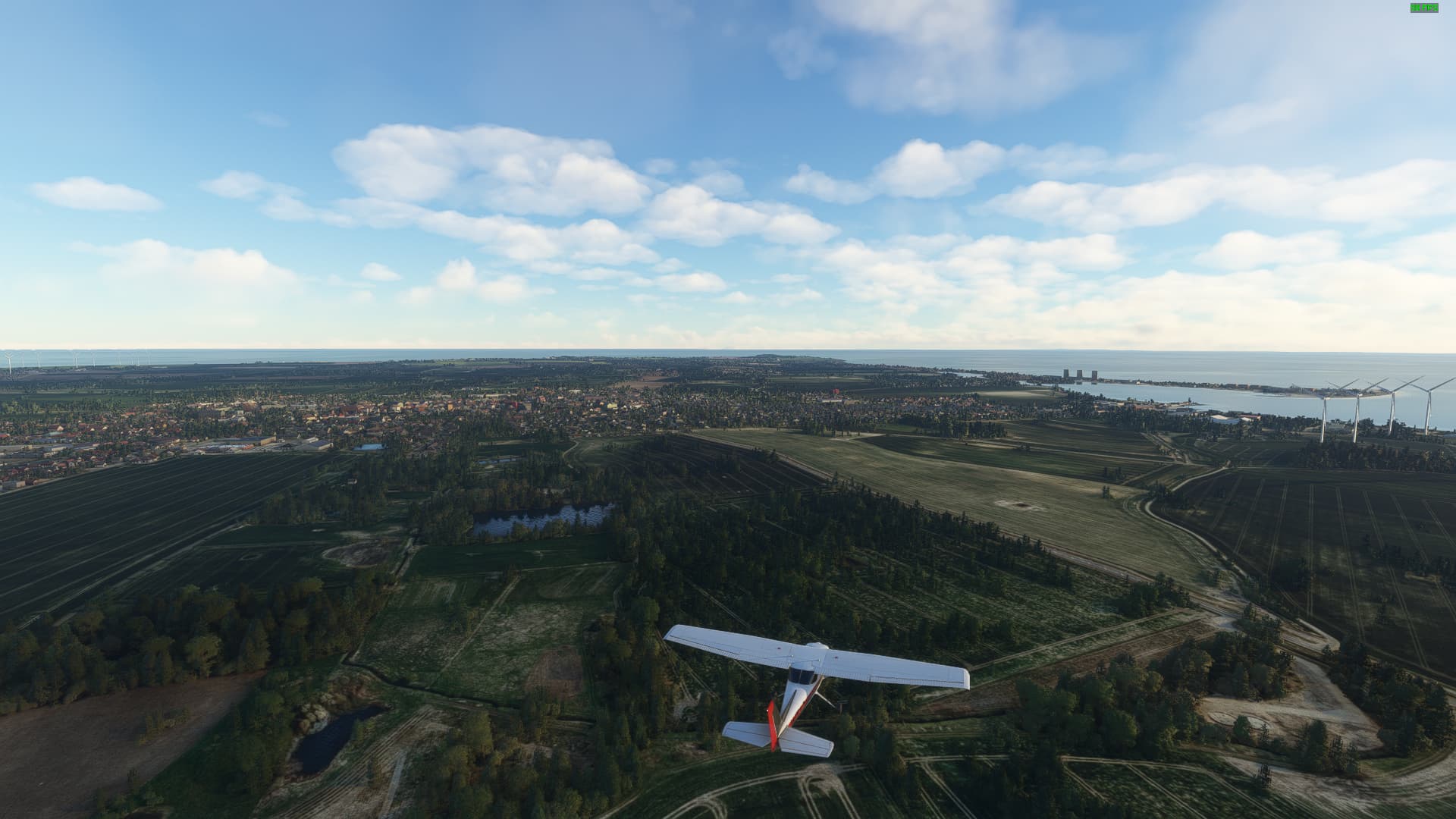
Following the coast of mainland Holstein down south we came across a town with an infamous past: Neustadt in Holstein was a medieval port that didn’t belong to the Hanseatic League, making it a perfect anchorage for Dutch traders and the feared “Viktualienbrüder” - the Pirates of the Baltic Sea - who intercepted trade ships coming from and to Lübeck.
Sadly, the famous Hanseatic City of Lübeck was hidden in the mists when we approached it, so we couldn’t see much of it. This city was one of the longest living Free Cities of Germany, keeping its status as an independent city state from 1226 to 1937 (since 1871 only nominal & administrative).
With reaching Lübeck we finished our tour of Schleswig-Holstein and will move on to the next state. As of now I haven’t decided yet if it is going to be Mecklenburg-Vorpommern or Niedersachsen (+Hamburg).
Deciding to go for Mecklenburg-Vorpommern next, we took off and flew to the state capital of Schwerin - the smallest state capital in all of Germany. Being the seat of power for the Grand Dukes of Mecklenburg-Schwerin until 1918 the famous Schwerin Castle is nowadays home of the state parliament. You can even spot it on this picture - it is the small white spot diagonally left below our left wheel!
Going north we followed the western shore of Lake Schwerin, the fourth largest lake in Germany. As a national bird reserve it is home to a thriving osprey and white-tailed eagle population. You can even find Eurasian river otters on its shoreline!
Now we come to perhaps the most important village for Mecklenburg’s history - this is Dorf Mecklenburg (lit. “Mecklenburg village”), whose ancient castle - “The Mecklenburg” - gave its name to the entire region, its people and the modern day State of Mecklenburg-Vorpommern. Sadly, the Mecklenburg had an infamous side to it: During the reign of Otto III. it was the location of one of Germany’s most prominent slave markets.
Returning to the Baltic Sea we reached Wismar, another Hanseatic City between Lübeck and Rostock. Wismar was an independent city state until the Thirty Years War, when Swedish forces occupied it, leading to 255 years of Swedish rule (since 1803 only nominally), which is anually remembered during the “Schwedenfest”.
Continuing along the Baltic Sea Coast we arrived in Bad Doberan, a medieval town surrounding a magnificient Gothic cathedral. Developing out of a monastery, the town grew in fame due to its Heiligendamm District becoming one of the first state-approved resort towns in Germany.
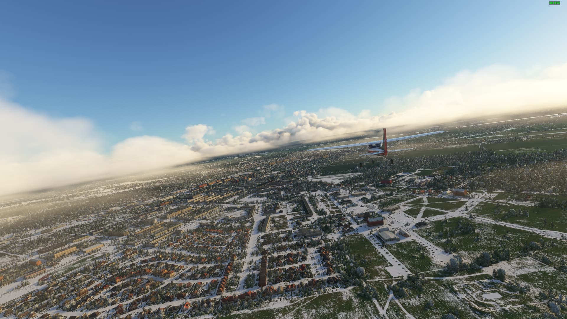
Further east we reached Rostock, the largest city in Mecklenburg-Vorpommern and one of the most prestigious due to its importance as a historical trade port, an university city and due to its pioneering role in German aviation history.
As we left Rostock we glimpsed another town to the north - Warnemünde at Warnow Estuary. Once an independent port, Warnemünde belongs to Rostock since the 14th century, being a prime seaside resort and a docking point for cruise ships touring the Baltic Sea.
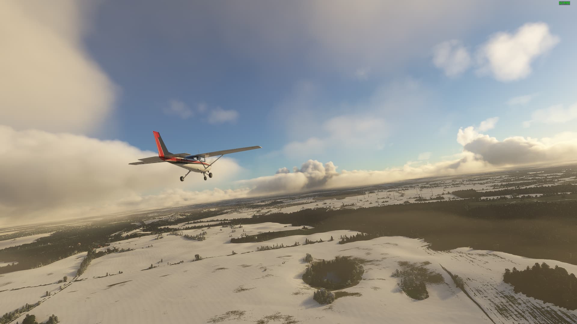
The further we travelled, the more snow we saw. So we were able to take this nice winter-y shot of Ribnitz-Damgarten, a historical border town between Mecklenburg (Ribnitz) and Vorpommern (Damgarten), which was united in 1950 due to political concerns about the existence of a “Pomeranian border” after most of Pomerania became Polish in 1945.
Time for another island trip! We took off at dawn from Barth, passing the old town, which was founded as a successor to several Slavic villages in the 11th century by German settlers. Two ancient fortifications existed, but they were broken down at the behest of Barth’s residents in the medieval era.
Crossing the Fitt, we reached Zingst Peninsula with Zingst itself as its major settlement. Once an island, Zingst was connected with the Fischland-Darß peninsula after a severe storm in 1872 to protect the area behind it from further floodings.
Further east we came across one of (East) Germany’s most beloved vacation islands - Hiddensee. A remote, natural island, Hiddensee served first as a secret spot for artists and writers to gain new inspirations, before being turned into a touristic powerhouse by the GDR government and its FDGB (the only available and tightly controlled workers union in the GDR).
After crossing over to Rügen, Germany’s largest island, we visited its northernmost point, the Gellort. One of its most famous sights is right behind us - the chalk cliff known as Kap Arkona. Once a holy place of the Slavic Rani tribe, it is nowadays home to two lighthouses as well as multiple touristic localities.
Turning south again we visited the island capital Bergen auf Rügen. Looking back on more than 1000 years of history, it was founded in 1232, surrounding St. Mary’s Church, which itself was built about 60 years earlier as a princely church for Lord Jaromar I. of Rügen after the destruction of the Jaromarsburg near Kap Arkona.
Leaving Rügen we reached Stralsund - and found something hillarious! As you can see, MSFS thinks that the Strelasund (the strait between Stralsund and Rügen) is completely frozen over … yeah that’s not quite the case. Anyways, you can see clearly the two most prominent churches of the city, which both have a unique model ingame: St. Nikolai to the right and St. Marien in the background.
After following the coast to the east we came across Wolgast. Here, the Peenebrücke connects the Island of Usedom with the mainland of Mecklenburg-Vorpommern. A settlement of the Slavic Lutici in the early medieval age, Hologost was later germanized into Wolgast, becoming one of the two “gates to Usedom” and the capital of the Duchy of Pommern-Wolgast from 1295 to 1625.
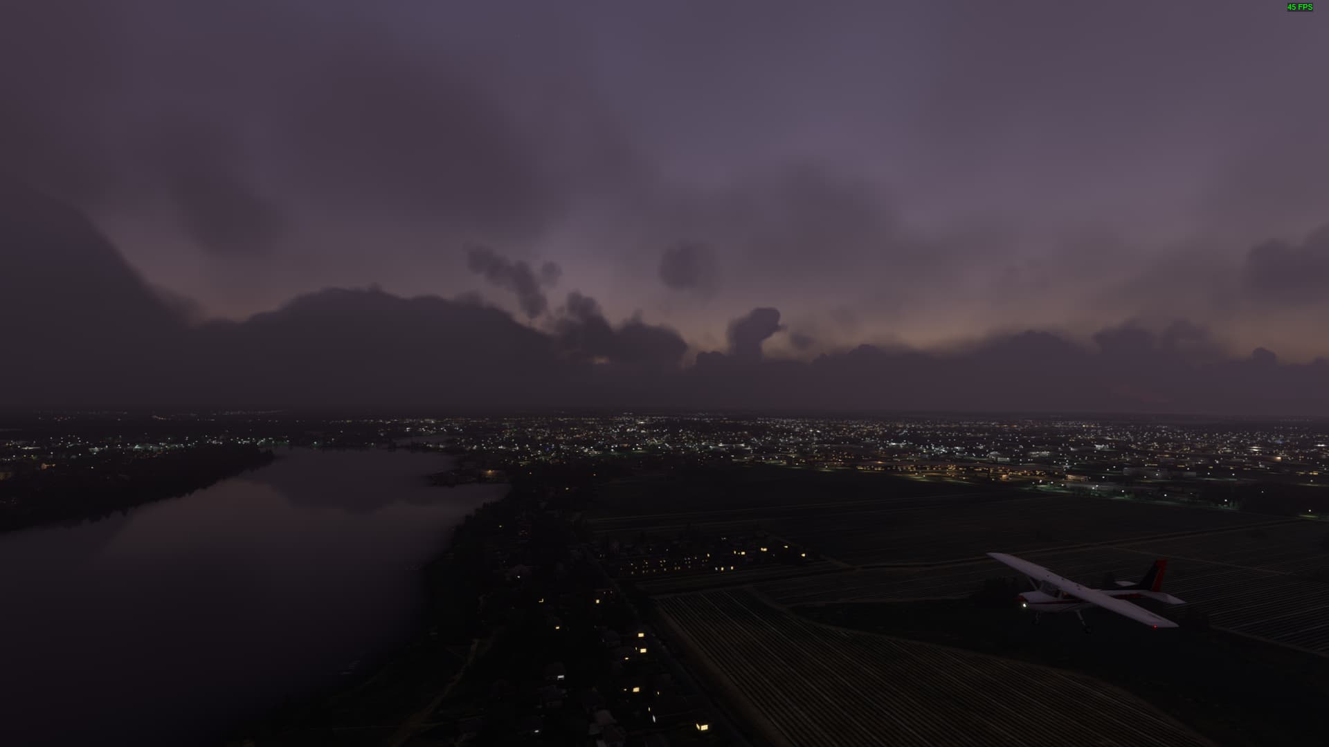
Imagine this - you want to showcase one of the few places in M/V you have ever been to and then there is a massive fog bank covering the entire island… yep, that is me. Still you can see the outlines of Heringsdorf on Usedom, one of the so called “Kaiserbäder”, which were resorts on Usedom’s northern coastline, which had a massive development boom during the Imperial Era of Germany (1871-1918).
Crossing over to the mainland again we found an example for a century-old friendship that saved the day long after the cause for it took place. This is Anklam, the second “gate to Usedom”. A Hanseatic City (or rather town), Anklam refused two times to join the Hanseatic wars against Denmark, which created an amicable relationship between the town and the Danish crown. This friendship saved it from ruin, when Russian forces wanted to burn it down in 1713, only relenting when the Danish king himself intervened on behalf of the citizens of Anklam.
It is time to leave the coastline for good and turn inlands. So we took off from Anklam and travelled south towards Feldberg. The town sits between the Breiter Luzin (lit. “wide Luzin Lake”), Haussee and Schmaler Luzin (lit. “Narrow Luzin Lake”). The latter counts among the first official nature reserves in all of Germany, being a “Naturschutzgebiet” since the 19th century, when the Grand Duke of Mecklenburg-Schwerin ordered its protection.
Further west we came across Waren (Müritz) on Lake Müritz, the largest lake on German territory. This might be the oldest known settlement in Mecklenburg, being described as “Virunium” by Alexandrine cartographer Claudius Ptolemy in 150 AD. Originally settled by the Germanic Warini Tribe, it was later colonized by Slavic and Westphalian settlers, who founded modern-day Waren in 1273.
After crossing the Müritz (lit. “small sea” in Sorbian) we took a picture of it near Gotthun on its southern shore. While the Bodensee is larger than the Müritz, it is also partly on Austrian and Swiss territory, making the Müritz the largest lake completely inside of German territory. After the last ice age the entire Mecklenburgische Seenplatte was a gargantuan lake before the natural drainage reduced it to its current size.
Following the southern shore we reached Rechlin on the Kleine Müritz (lit. Small Müritz), which was once an important aircraft testing range for the Luftwaffe during World War One as well as during the rearmament process of the Wehrmacht in the years before World War Two.
With our arrival in Rechlin we finished our tour of Mecklenburg-Vorpommern, enabling us to continue to Brandenburg & Berlin for our next trip!
The simulator thinks most of my home country, Canada, is ice bound as well. Sure, we have snow on the ground, but the rivers are not frozen over in the south, where most of the people live. I’ve taken to flying in Italy and Switzerland just to get away from the snow.
Haha, experienced that myself when I was flying in Eastern Canada last winter. Several parts of the Canadian East Coast froze over in the sim when it was my understanding that the Atlantic doesn’t really do that kind of thing.
Apologies for not posting yesterday, but it seems Hades is far more addicting than I thought so I spent my day fighting my way out of the Greek Underworld instead. It was great.
Entering Brandenburg from the north our first stop was Rheinsberg on Grienericksee. This town became famous due to its magnificient Rococo palace - Schloss Rheinsberg - which served as a blueprint for Potsdam’s famous Sanssouci Palace.
A strange town can be found on the shores of Röddelinsee near Templin: El Dorado itself! Or at least El Dorado Templin, a Wild West Event Park in rural Brandenburg, providing a not so realistic, but very popularized impression of the American West during the Age of Cowboys. (Everyone is entitled to their own opinion - as someone interested in actual history I loathe “historic” event parks with a passion)
The latter part of our journey took us through “Terra Ukera” - the Uckermark - a region in northern Brandenburg and southern Vorpommern known for its overreliance on heavy industry as well for being Brandenburg’s poorest region - but also for several large-scale natural reserves, which are slowly but surely boosting the Uckermark’s touristic value.
We reached the German-Polish border near Schwedt/Oder, which is officially known as a Nationalparkstadt due to its location close to the Nationalpark Unteres Odertal. During Prussian times it was a town known for its palaces and cultural institutions, most of which were destroyed in World War Two. Afterwards it became an industrial center due to its oil refinery, which led to a population boom during the Cold War.
Turning south at Schwedt we followed the Oder River towards Stützkow. Here we got a great view of the Nationalpark Unteres Odertal, which contains Germany’s only Polder landscape, an artificial area created by fencing off marshland with dikes to keep the river out and afterwards draining the interior.
While we tried to do a circular route for both Schleswig-Holstein and Mecklenburg-Vorpommern, we are deviating from that pattern for Brandenburg, zigzagging across the countryside. Therefore we turned west, passing Angermünde, a town with a very special history behind its name: Founded as “Nova Tangermünde” it references the even older town in Altmark on the mouth of Tanger River. Therefore it is one of the few “-münde” towns that is not situated anywhere near the mouth of an actual river.
Further west we came across Liepnitzsee with its central island - Großer Werder. The lake counts among the clearest lakes in all of Germany, its special protection status banning all motorcrafts except a singular ferry. Großer Werder became known as a prime camping location during the 1920s and was continuously developed to accomodate long-stay residents.
Not far from Liepnitzsee one can find a city with two names: Oranienburg. Once known as Castle and Town Bötzow, it was ransacked and burned down during the Thirty Years War. But in 1650, Brandenburg’s Elector Count Friedrich Wilhelm I. gifted the area to his wife Louise Henriette von Oranien, renaming it Oranienburg. Afterwards the Elector Countess began the construction of Oranienburg Palace and repopulated the area with religious refugees from the Netherlands.
At Rathenow we finally reached Havel River, the westernmost point of this flight. This town is known as the birthplace of German optics due to legacy of Johann Duncker and Emil Busch, who kickstarted the industrial production of optical lenses in Brandenburg-Preußen. Even today the name of Rathenow’s football club - FSV Optik Rathenow - references the town’s golden past.
Following the Havel River upstream we arrived in my current home town - Brandenburg an der Havel. Not only the namesake of the entire region, but also a focal point of the German-Slavic Wars in the medieval era, the Brandenburg served as a Slavic center of power before being conquered by King Heinrich I., father to Otto I. and first German Emperor. Later it was reconquered by the Slavic Lutici who successfully resisted German (and Christian) rule for about 200 years.