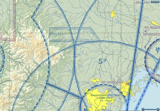
I was flying to Tokyo and noticed in the VRF map an area surrounded with a blue border. What is this?
Controlled airspace boundary,
It should show you a min /max altitude for that area. Like SFC/3000 but the sim dose not.
Likly will be a city airport in the middle or an airbase
1 Like
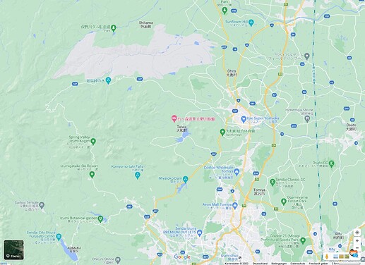
It´s most probably a nature park near Shikama.
Some dams there and waterfalls.
See SkyVector and Google maps.
Thank you Sir!
This topic was automatically closed 30 days after the last reply. New replies are no longer allowed.


