Is it just me, or is anyone else having issues with washed out and/or brown low quality aerial imagery? Also, I think we were promised updated bing maps aerials for MSFS2024, but it seems like the old aerials are still present.
if the new bing map data and photogrammetry isn’t loading correctly this is what you are seeing. I know in some other areas if the server loads it correctly it’s the new maps.
1 Like
Everything looks good until you zoom in close on the map. Then everything becomes very blurry/washed out. Doing some more investigation.
I believe it’s the seasonal filter, try changing the month and seeing if the brown washed out-ness goes away. Like most environmental features it’s been applied with the care and attention to detail of a toddler throwing toys around a sandpit.
Yes, that was it. The brownish aerials had to do with seasons. However, the washed out aerials are still present. Not the way it looked back in MSFS2020. This is during the summer months.
As noted above, it may be due to streaming limits, IOW, the server reduces the LOD based on system load rules, so, you may be experiencing something to do with that. Hopefully this improves with time as they get more experience in how to balance their servers and the loads.
But there’s a whole lot of reasons, and it’s tough to say what it’s supposed to look like (especially because you didn’t post a picture, which wouldn’t matter anyway because the forum reduces the detail of images automatically ![]() . Detail settings, screen resolution, video card, anti-alias settings, etc. etc.
. Detail settings, screen resolution, video card, anti-alias settings, etc. etc.
I think it’s going to be a while before people really know what the sim is supposed to look like and how to check if you’re actually seeing that.
We’d really need to know a lot more about your system to be able to answer your question fully.
After some more investigation, it seems like this issue only affects my local area. Not everywhere else. I live close to ENDU. The entire area looks like c**p. Not sure if there is sensorship involved here as this area has lots of military activity. However, Bing maps have not put in any blurred spots like some other sources.
I’ve been holding off on 2024 until the P28A from Just Flight is released to it.
But since one of my last VFR Alaska flights on FS2020 and being just jaw-dropped at how beautiful the scenery is YouTube Video I had to check out how FS2024 was, expecting it to be much better.
And indeed, while the terrain roughness, shadows, depths and defilades and elevations look much better, the actual terrain colors look so much more cartoony in my PC, as opposed to the photorealistic and alive look they used to have.
Is this something on my end or is it absolutely a change in FS2024?
2020:

2020:

2024:
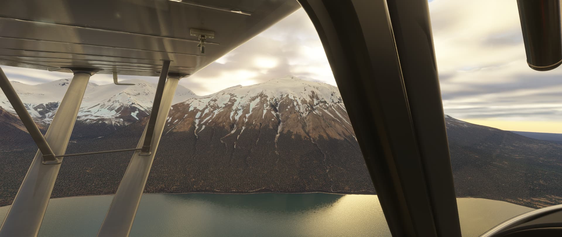
2024:

2024:

It feels to me that now everything looks more brown-ish and lacking details (colorwise, not talking about terrain depth/elevations).
That 2nd pic I attached up there from Unimak Island, Alaska - even though the screenshot doesn’t do it justice to how beautiful it was seeing it rendered at full quality - it shows terrain that used to have so many colors due to water defrost and composition, it had shades of dark green mixed with the muskeg, dark purple, streches of white snow surrounded by the dark brown from the terrain. Even Bing maps satellite image on that Island shows a lot of color complexity in the image.
Then in the sim we only have an ugly brighter brown, without any complexity / proper color variation at all. It’s like it was mostly sat image before, and pure CGI now.
Is anybody else experiencing this? Is it even possible to get terrain colors that look like that 2nd pic now in FS2024?
Thanks!
