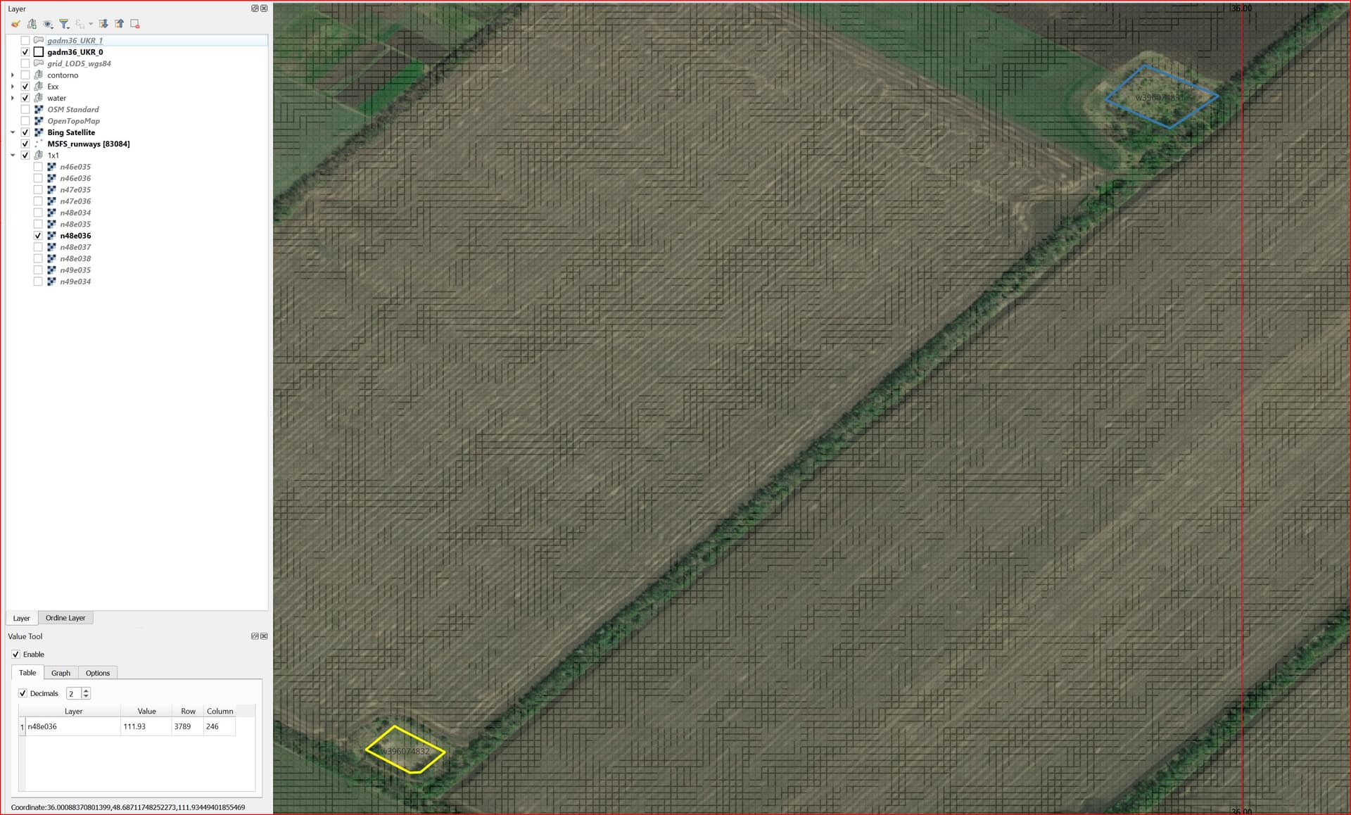
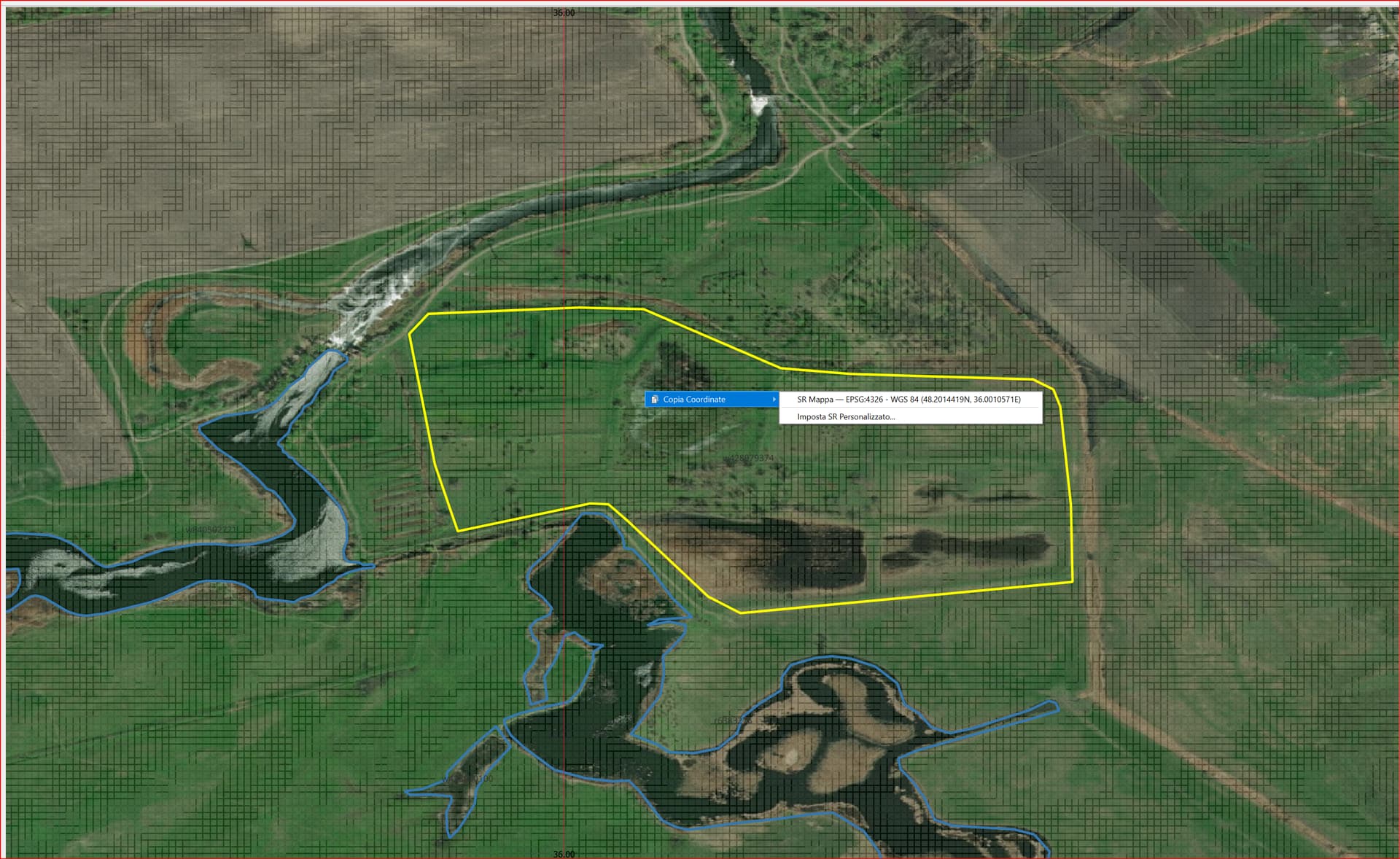
The default bodies of water, specifically lakes, reservoirs and reservoirs originate from the massive database that is OpenStreetMap. It should be noted that as regards the “natural = water” they are 100% surfaces covered by water while the “landuse = reservoir” are 95% dry (intermittent), while in the Simulator they are always water surfaces.
In order not to have water surfaces everywhere even where there is none, you could have an option to exclude that water polygon already during the data acquisition phase from OSM.
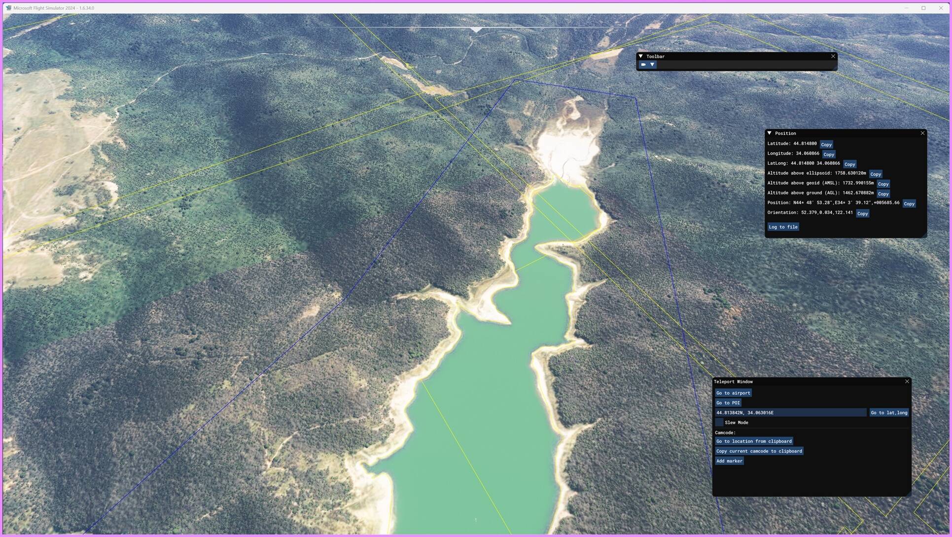
If you want, it is possible to exclude that water polygon now with a dedicated polygon, I’m fine with one but when are there many more than one?
OpenStreetMap wiki related to "landuse = reservoir
Since my original post in January 2024, I have made significant progress in improving how water bodies, reservoirs and landuse=reservoir areas are represented in MSFS. The goal has always been to correct the default inconsistencies in water extent, elevation and shoreline geometry, especially in regions where the simulator relies on outdated or low‑resolution data.
 High‑Precision Terrain Mesh (ETM10m) – Current Workflow
Over the past months, I have refined a complete workflow based on:
- Sentinel‑1 SAR data for generating updated DEM/DTM
- SNAP13 for noise filtering and elevation reconstruction
- QGIS for hydrological correction, shoreline refinement and water‑surface alignment
- OpenStreetMap collaboration to update geometries and ensure consistency with real‑world features
This combination allows me to rebuild water surfaces using more recent spatial resolution and correct both horizontal (shape/extent) and vertical (elevation) inaccuracies.
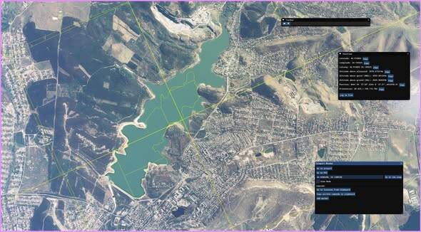
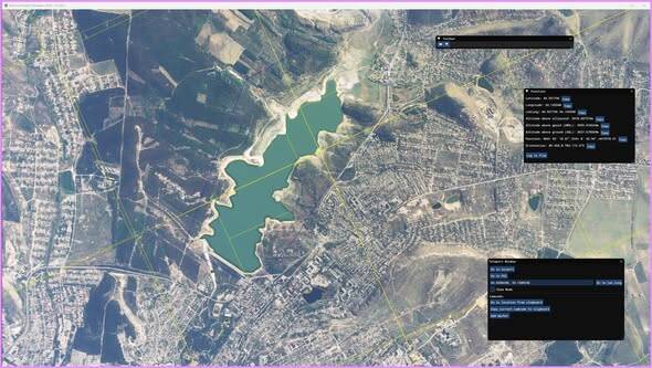
 Before / After – What Has Improved
The images above show a clear comparison:
- Default MSFS water bodies often appear larger than reality, with smoothed or inaccurate shorelines and water levels not aligned with the surrounding terrain.
- With the updated ETM10m mesh, water surfaces are reconstructed using real elevation values derived from Sentinel‑1 SAR, producing:
- more accurate reservoir boundaries
- corrected water elevation
- improved shoreline definition
- better integration with surrounding terrain
- a more realistic VFR experience
These improvements are especially noticeable in artificial reservoirs, mountain lakes, and valley basins, where DEM precision makes a substantial difference.
While re-doing shorelines for the reservoirs at Oroville and Lake Shasta, I also noticed wrong water levels. The way MSFS enforces the water level, all shorelines were way too steep.
Where can we see your work in detail? I‘m really interested in this!
Glad to hear you’re interested in my work on water levels and shoreline corrections.
I’m not exactly sure where Oroville and Shasta are located — if you can share geographic coordinates, I’d be happy to take a look at them as well.
In the meantime, you can follow my work here:
I post examples, workflows, OSM/MSFS/DEM comparisons, and updates on the ETM10m project.
Regards,
Both are in Northern California.
Oroville Reservoir lies behind Oroville Dam: 39.5370° N 121.4830° W
Shasta Reservoir lies behind Shasta Dam: 40.7176° N 122.4105° W
Me too: been soaring over the European Alps for the last couple of days and many of the mountain lakes look like they would benefit from a better implementation of the terrain elevation.