So, I am posting this to see if it is only me, or others have noticed. I tried searching to see if anyone else has posted, but didn’t find anything. Ever since the release of world update 4, there have been weird translucent visible lines over roads in some areas, even areas where there isn’t actually a road. Also, strange straight lines running through rivers and creeks, in my area at least (Tulsa, OK) that have water mask, but the rest of the body of water has no mask… Plus I have seen a major reduction in water masks on lakes and ponds in the area. Now I saw that there was supposed to be an increase in water masks based on current data but it looks like what I am seeing is a generic data set being used and the overlay is showing up through the ground scenery. Is this because of a setting on my end, or are many people experiencing this?
I am seeing those as well … almost everywhere , (at least in USA where I tend to use MSFS) , so its not just you.
Double check your Data settings to ensure Bing Data and Photogrammetry is turned back on. Seems WU4 turned those off. Once I turned them back on, things went back to previous renditions.
I had that issue also. I have turned data back on. Weird that it keeps getting set to off with updates. I am wondering if the road problem has to do with the vector data setting. It is baffling how glitches like this seem to pop up with each update lol. Somebody messed something up somewhere ahha
… I just hope they fix it with the next sim update, which I think is supposed to be a big one
Regarding the roads that issue is nothing new has been around since release all over the world.
It is first I am seeing of it. I am wondering if it got worse since the last patch, or I just haven’t seen it before…
Bing migrated to TomTom data recently.
The translucent roads you’re seeing are road networks that have already been build (some might still be planned) while the underlying aerial imagery is behind. TomTom maps is up to date and already has road plans for planned / under construction developments, Bing aerial imagery can be 10 years behind. (PG data in the US is from 2014)
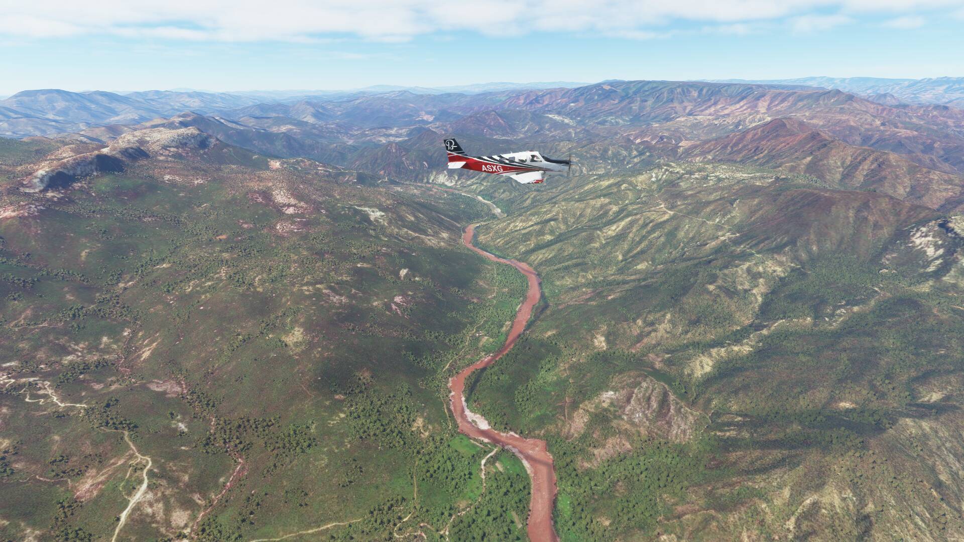
The river poly lines are part of the data set, they are not meant to be used the way FS2020 does. They are meant for maps and are way too low detail to use for water bodies. That is if I correctly assume you mean stuff like this
And crude lakes like this
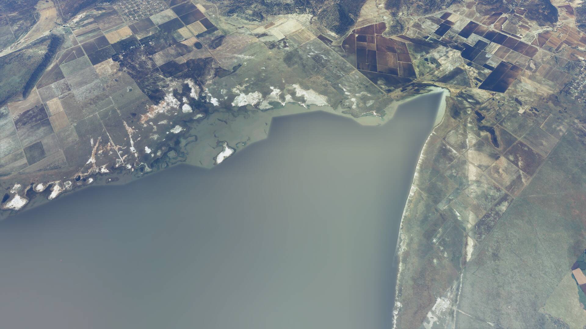
That’s a seasonal lake as well, dry most of the year
Asobo will have to figure out which water polygons are detailed enough to use in game and which to ignore or use from a different dataset. It shouldn’t be too hard to figure out when it’s only one data point every 100 meters.
Unless you are talking about France/Benelux specifically, some areas have always had the issues you are describing.
It may be that I just haven’t observed the road situation before… But yes, I have seen the streams and river mask glitch before… But I feel there still has been a noticeable decline in quality since the last patch. It said with the last world update that they were also updating the last water masks around the world based on the latest data… They also make changes server side every now and then without releasing an update. I am not worried though I know these things will be corrected and perfected with time
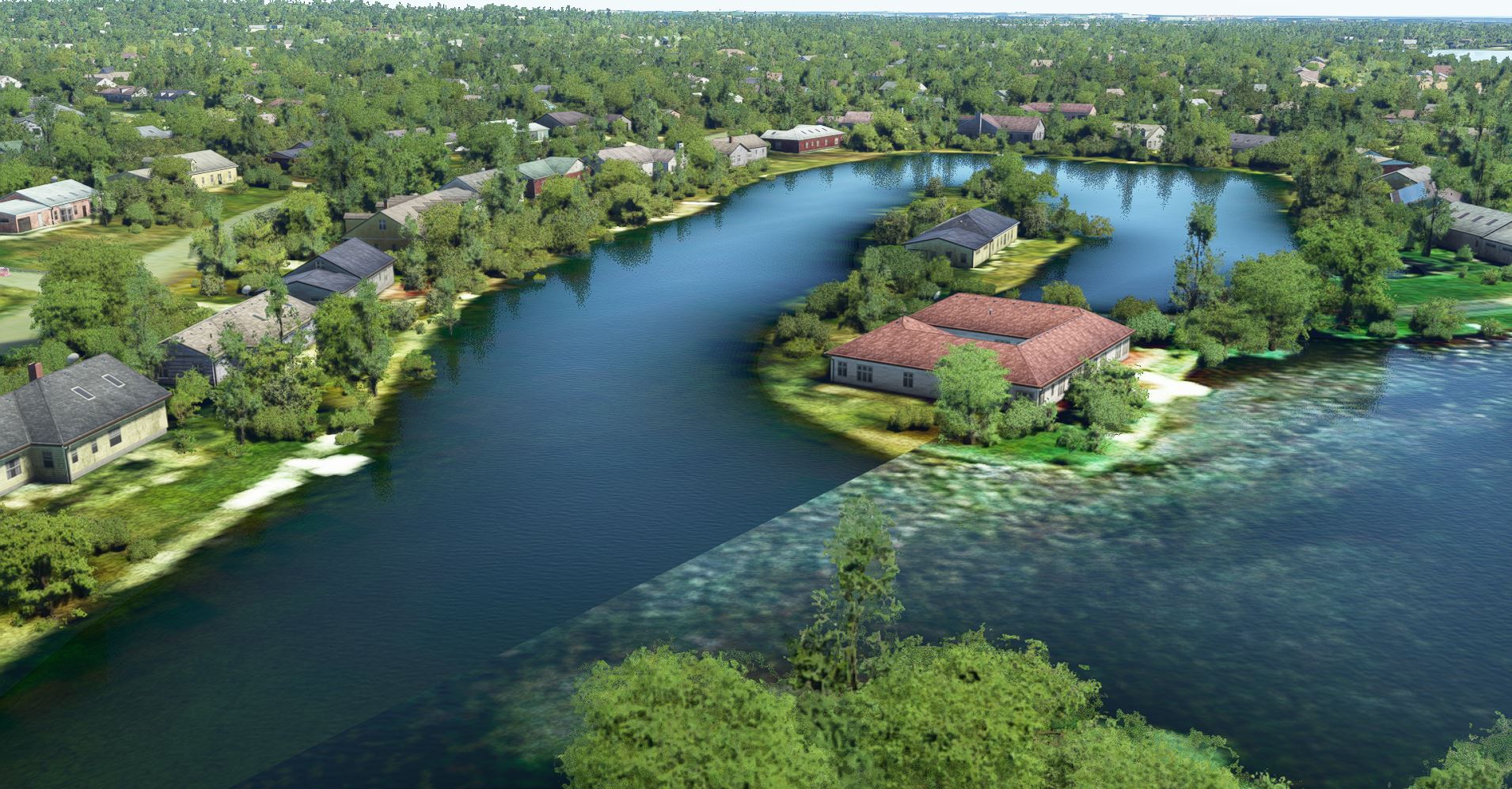
I can confirm this one… see below a rainforest screenshot made on the island of Dominica.
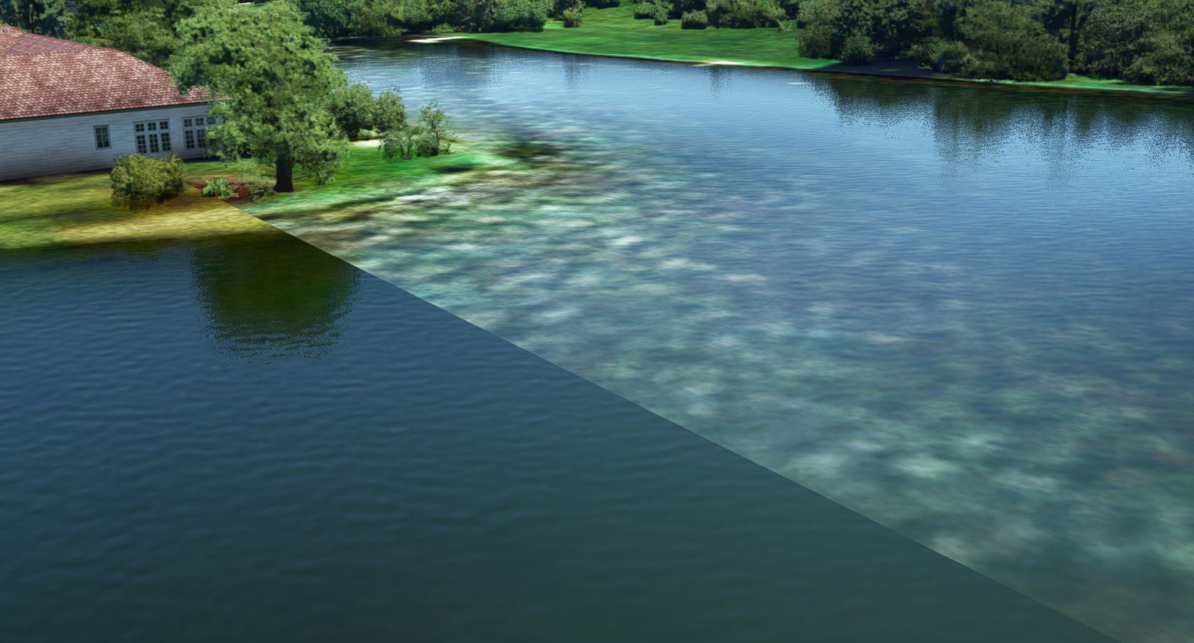
There is a water mask, but the boundaries are really artificial. They spoil the picture !
(I also wonder if water masks are really needed everywhere on narrow, especially on shallow waters. In any case they should be alpha-blended at the edges…)

I totally agree. I am really hoping there are some good fixes for this sort of thing next week with sim update 4
Walnut Lake north west of Detroit would have been nice AI scenery… but when a watermask is applied it should be accurate, else it is a spoiler for everything else near. Another example… notice the mask is straight on one side and it extends on the grounds. Water level may be in play here.
I’m seeing road masks on rivers and fields and they’re a bit too random to be planned roads or new data mis-matched with old satellite images. The roads appear and disappear and don’t link to existing roads . The road masks on rivers seems to confirm this too.