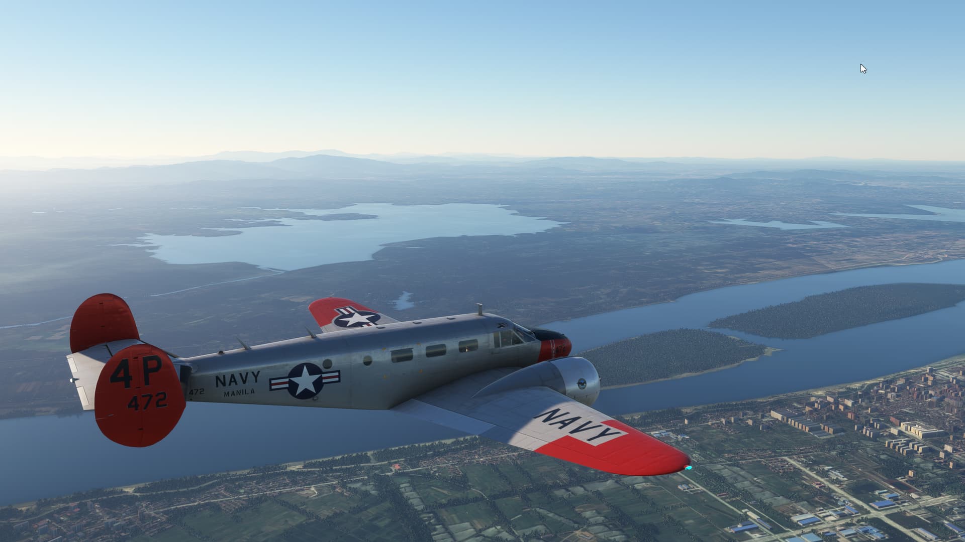
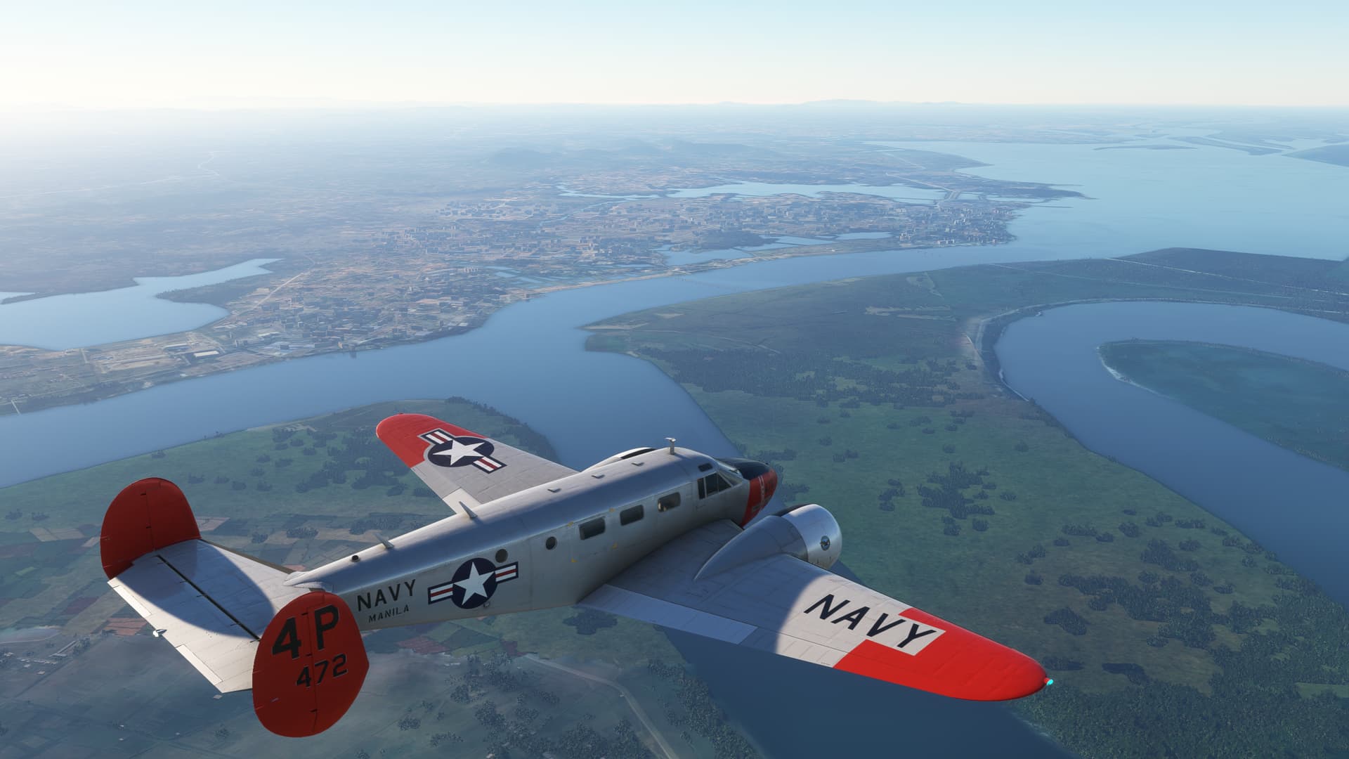
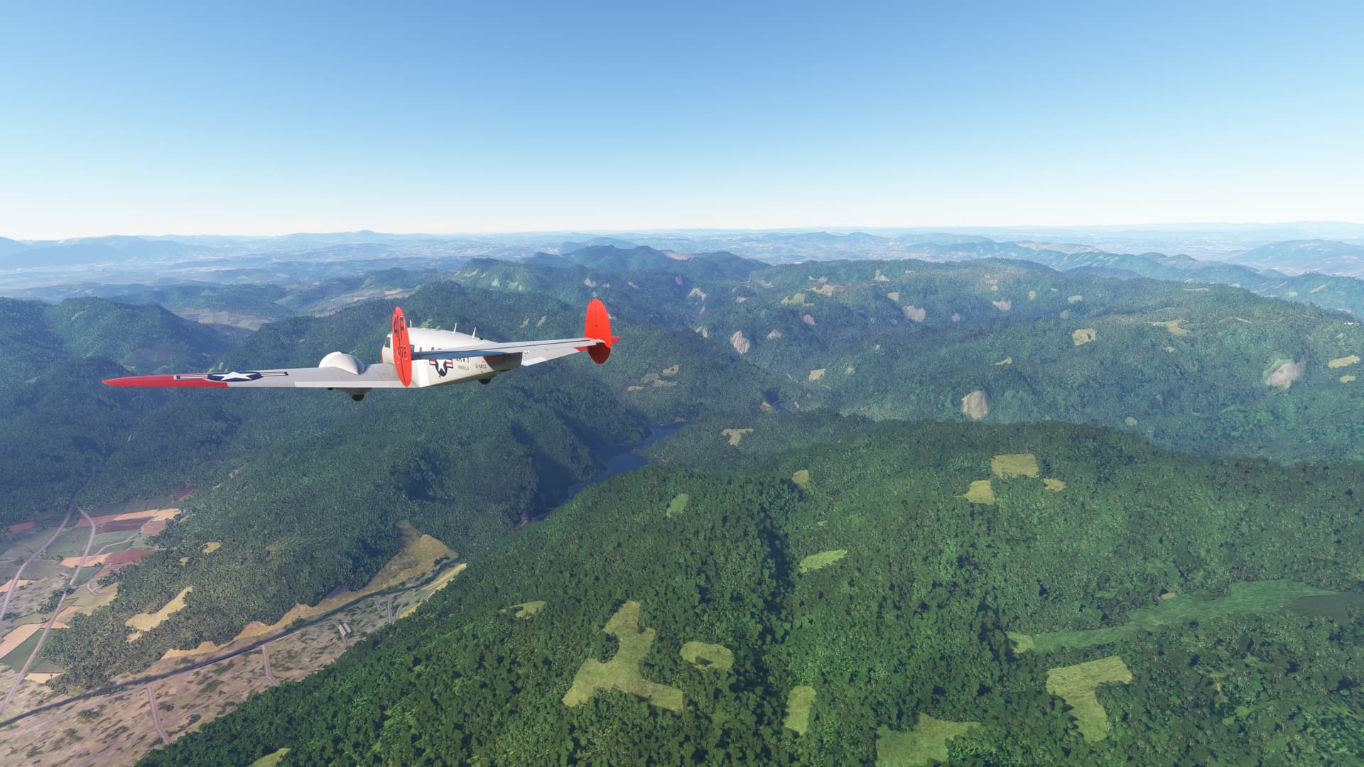
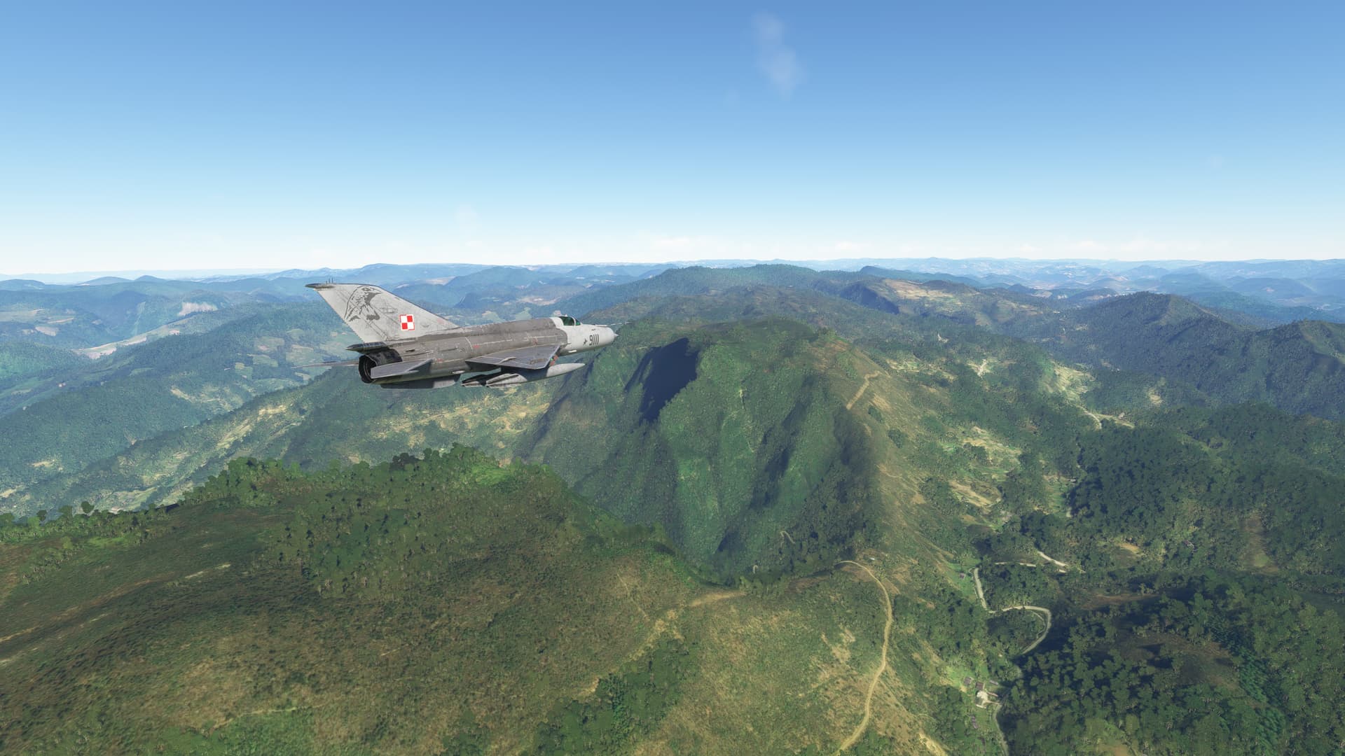
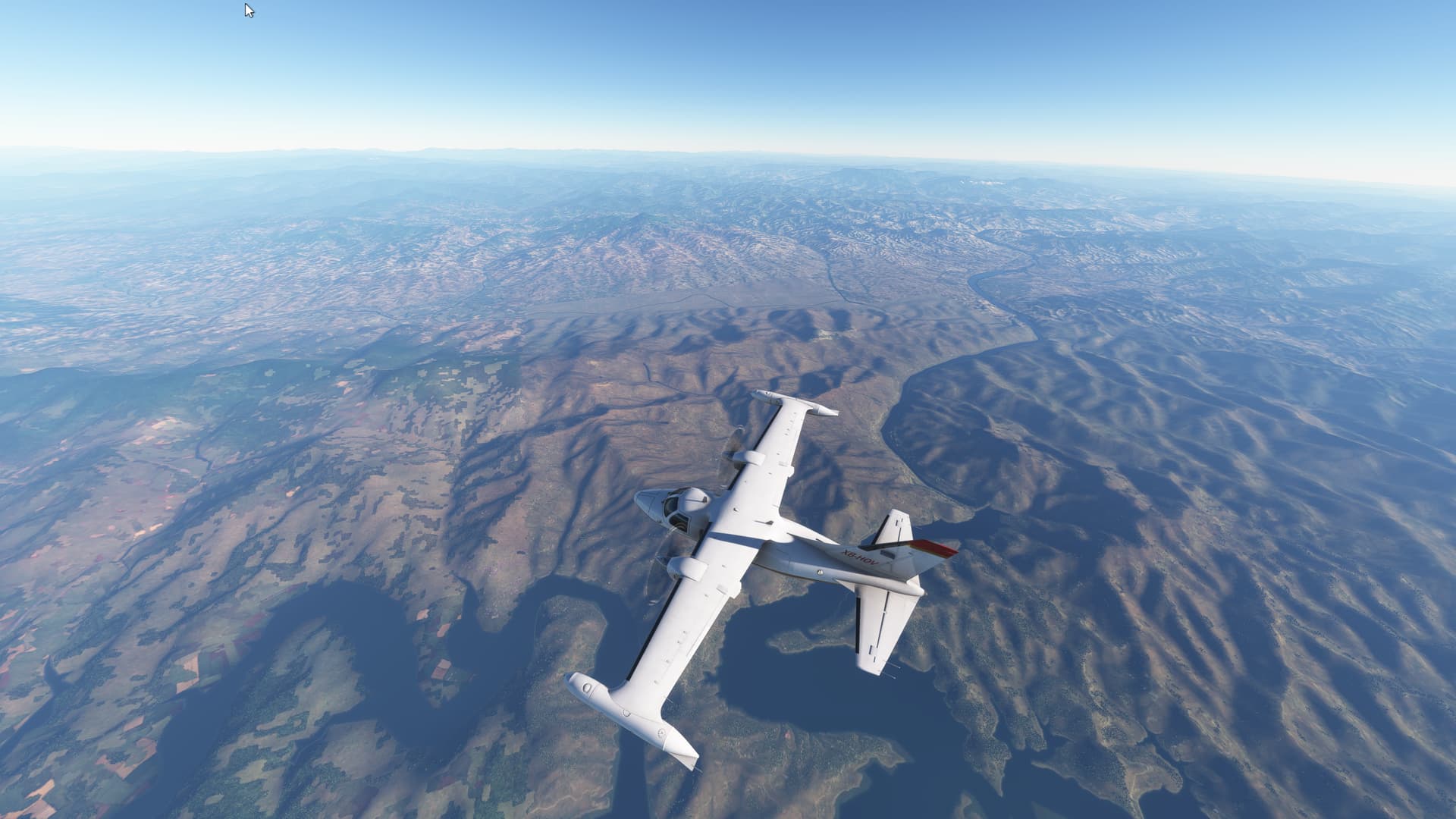
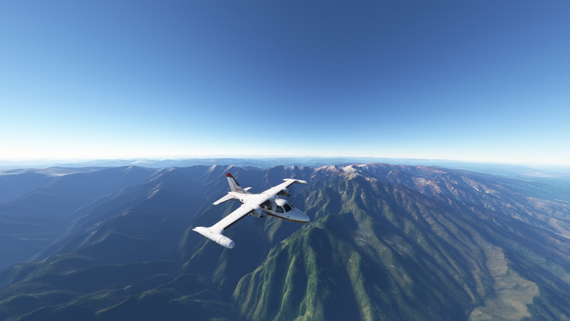
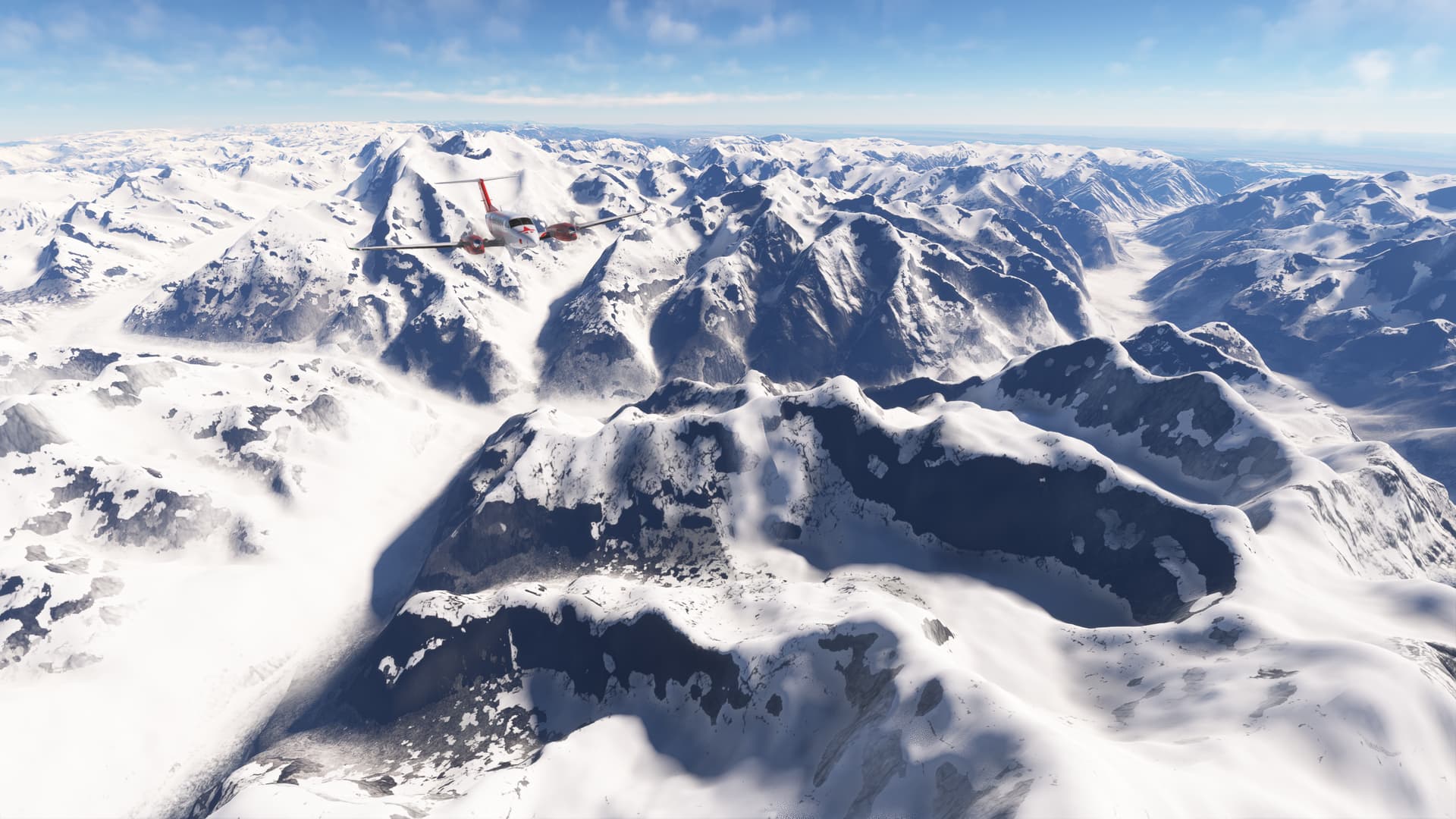
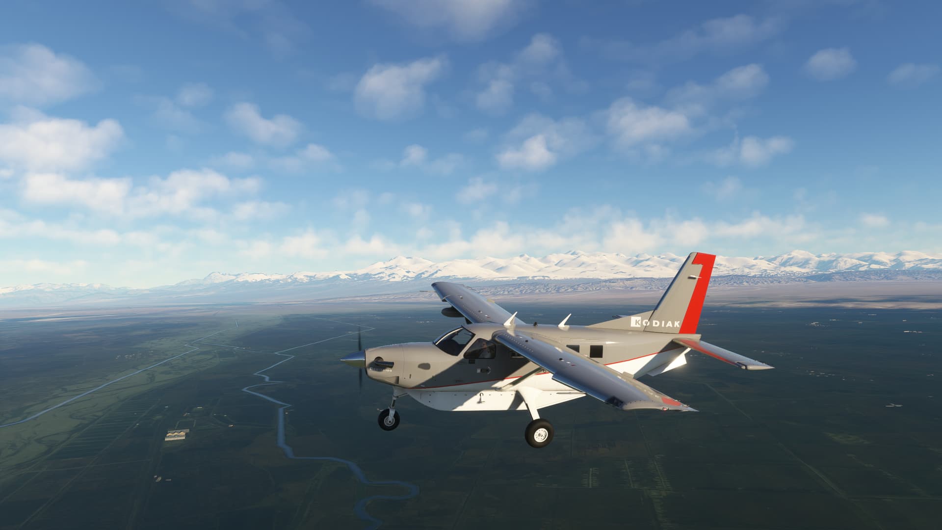
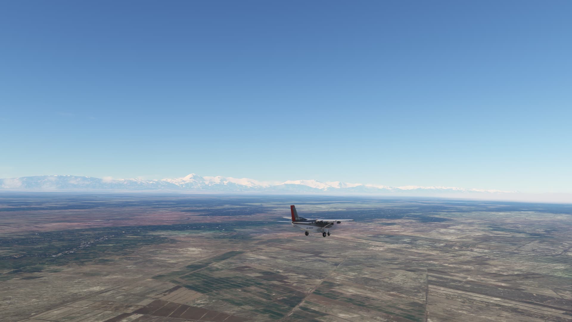
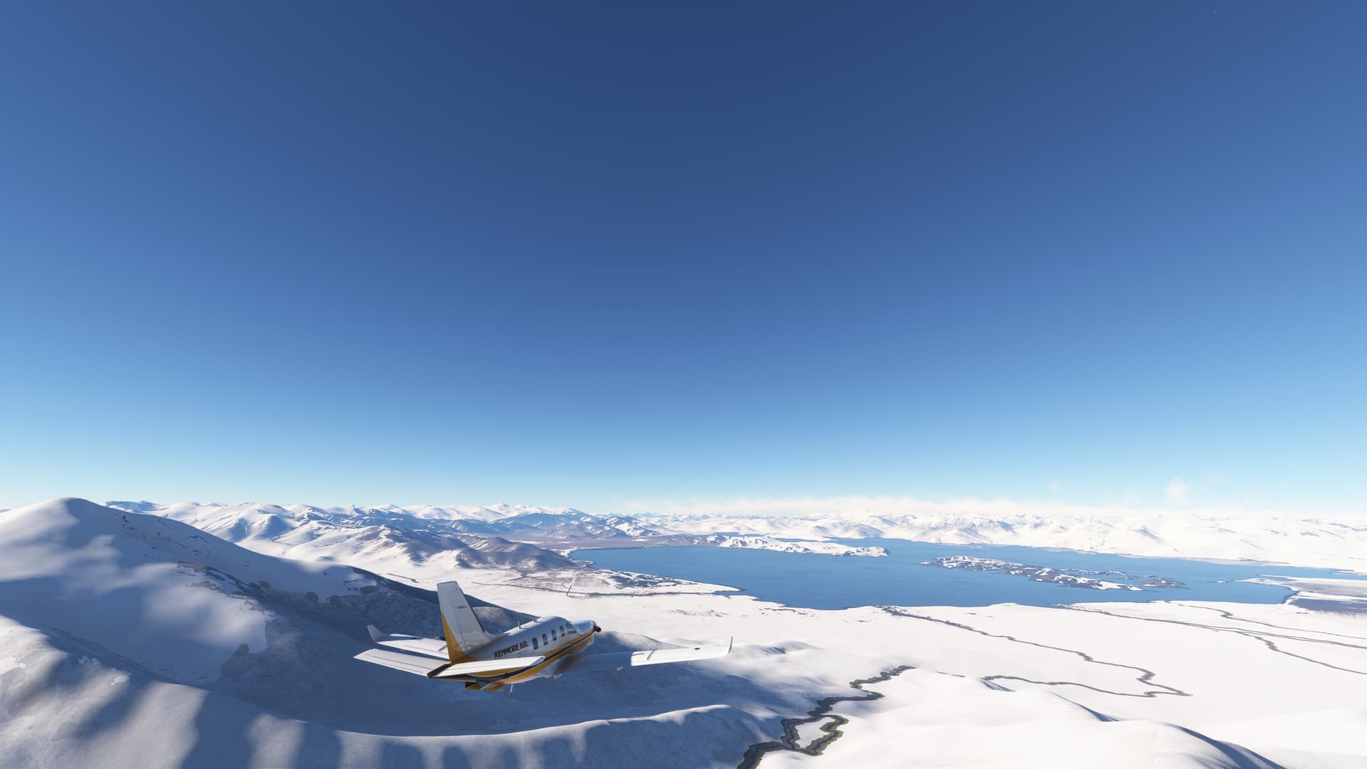
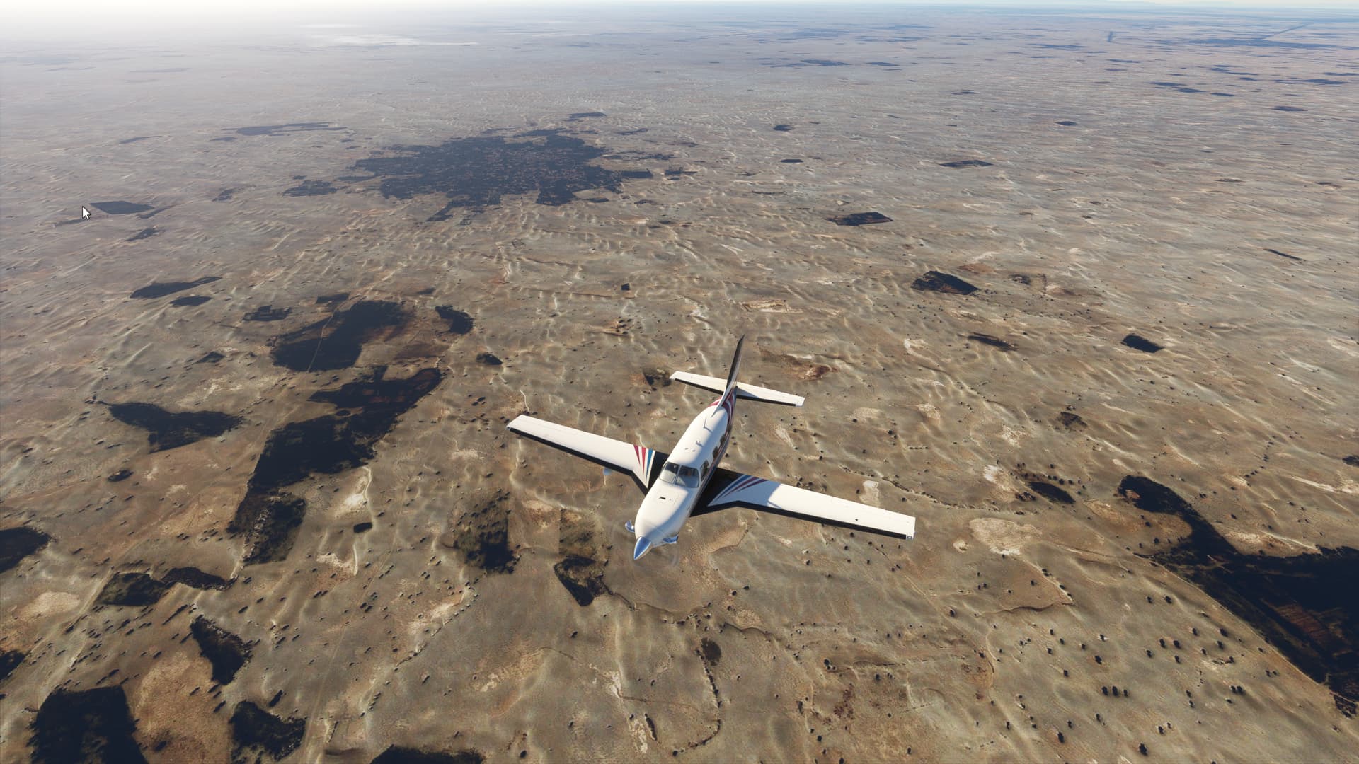
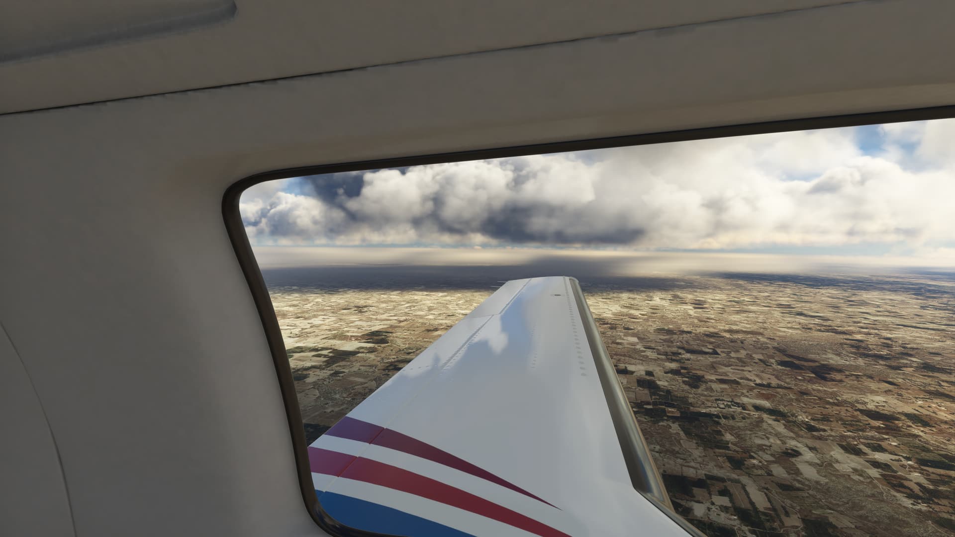
From Changle (ZSFZ) to Wuyishan (ZSWY)
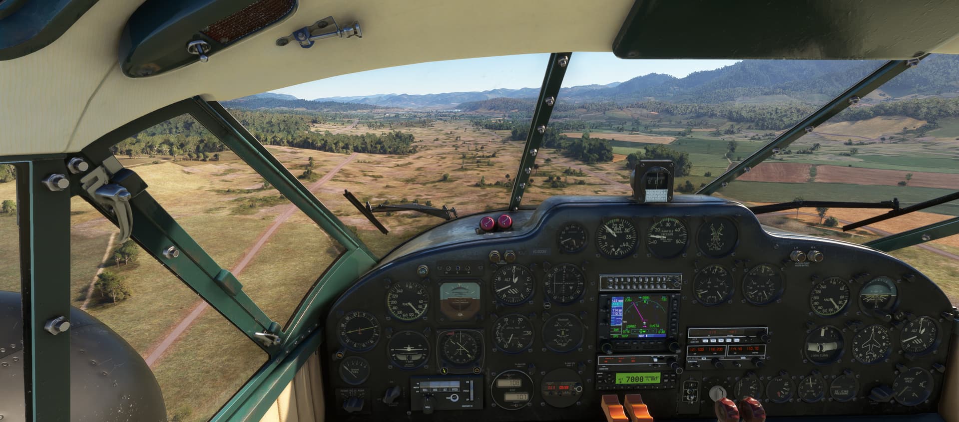
Departing from Changle a misty day following the River Min, the largest river in Fujian province. All of Fujian province is mountainous and is crossed by several ranges of moderate elevation that run roughly parallel to the coast. At Nanping turn right to reach Wuyi Mountains.
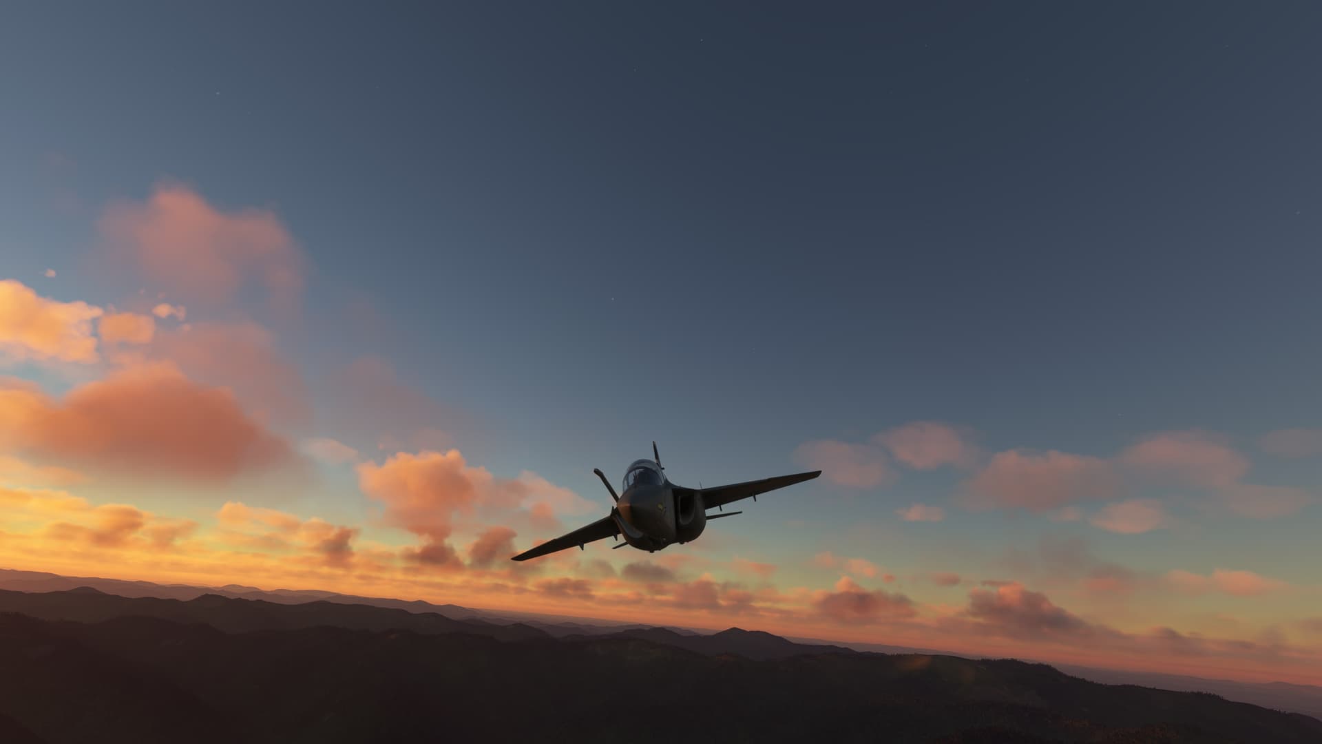
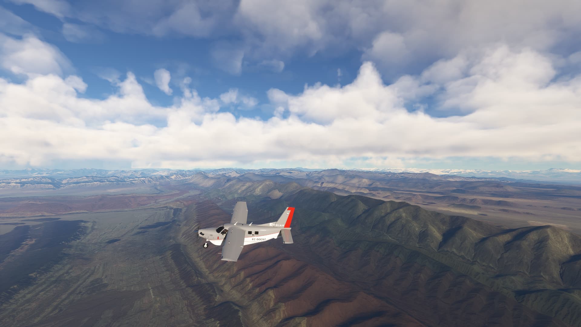
The Wuyi Mountains are the largest and most representative example of Chinese subtropical, and Chinese rainforest. The area has a long history of tea cultivation. The mountains have been listed since 1999 as a UNESCO World Heritage Site. Although the main points of interest are not well represented in the sim the area is worth a visit at sunset.
From Wuyishan (ZSWY) to Wuhan (ZGUA)
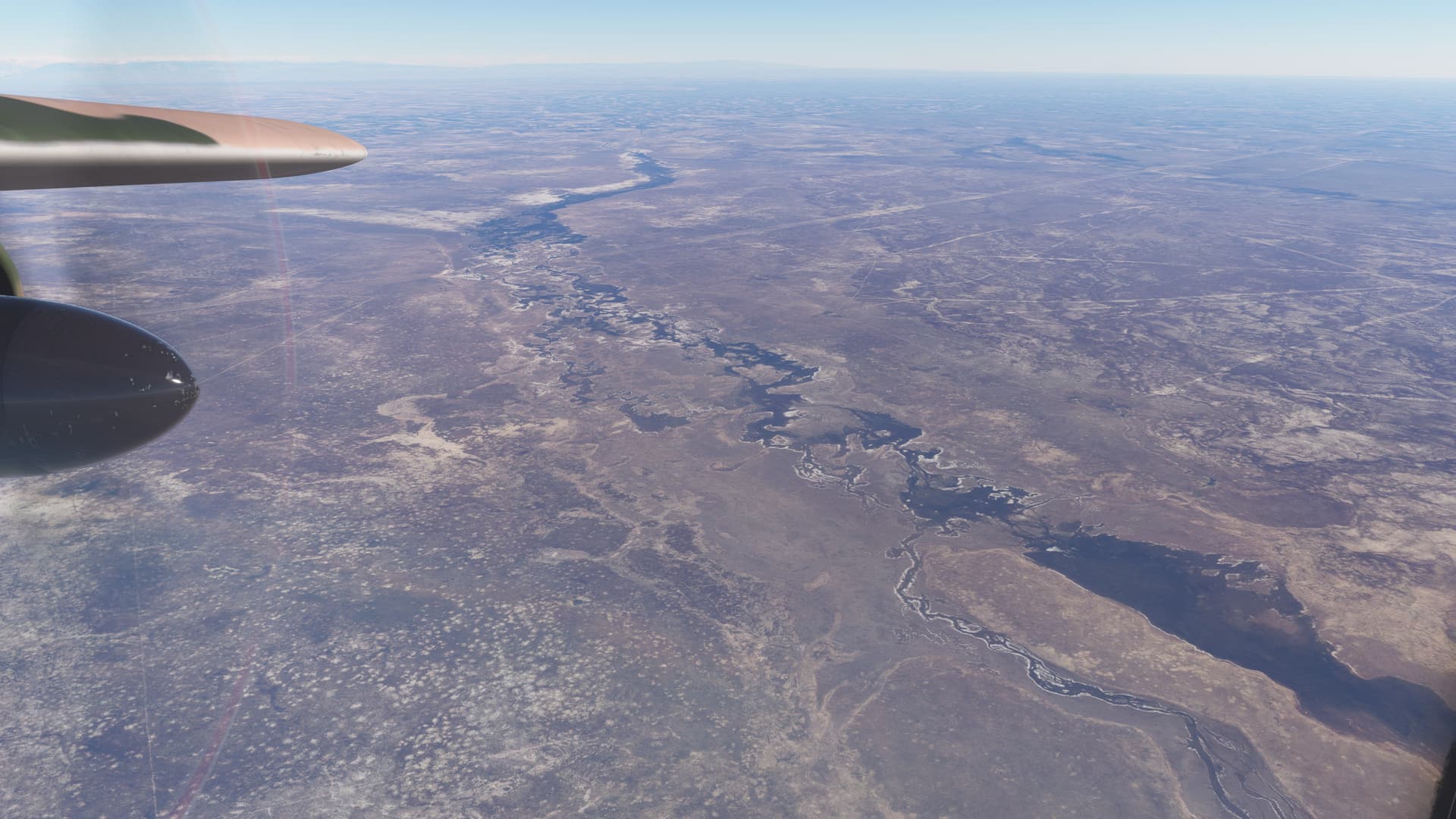
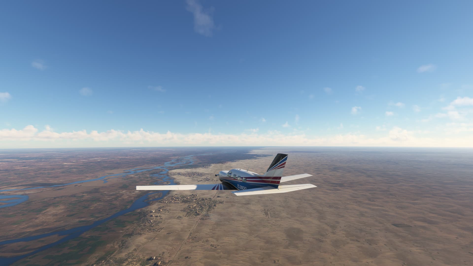
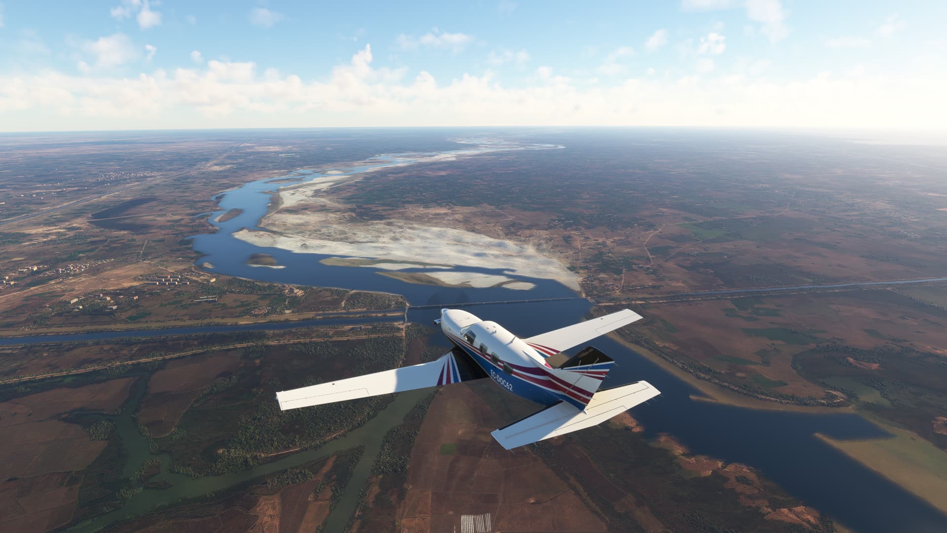
Left Wuyi Mountains and flew meeting The Xiang River, the largest river in Hunan Province, the river flows crossing a huge plain with a complex combination of rivers, cannels, lakes and marshes without clear boundaries due to seasonal level variations.
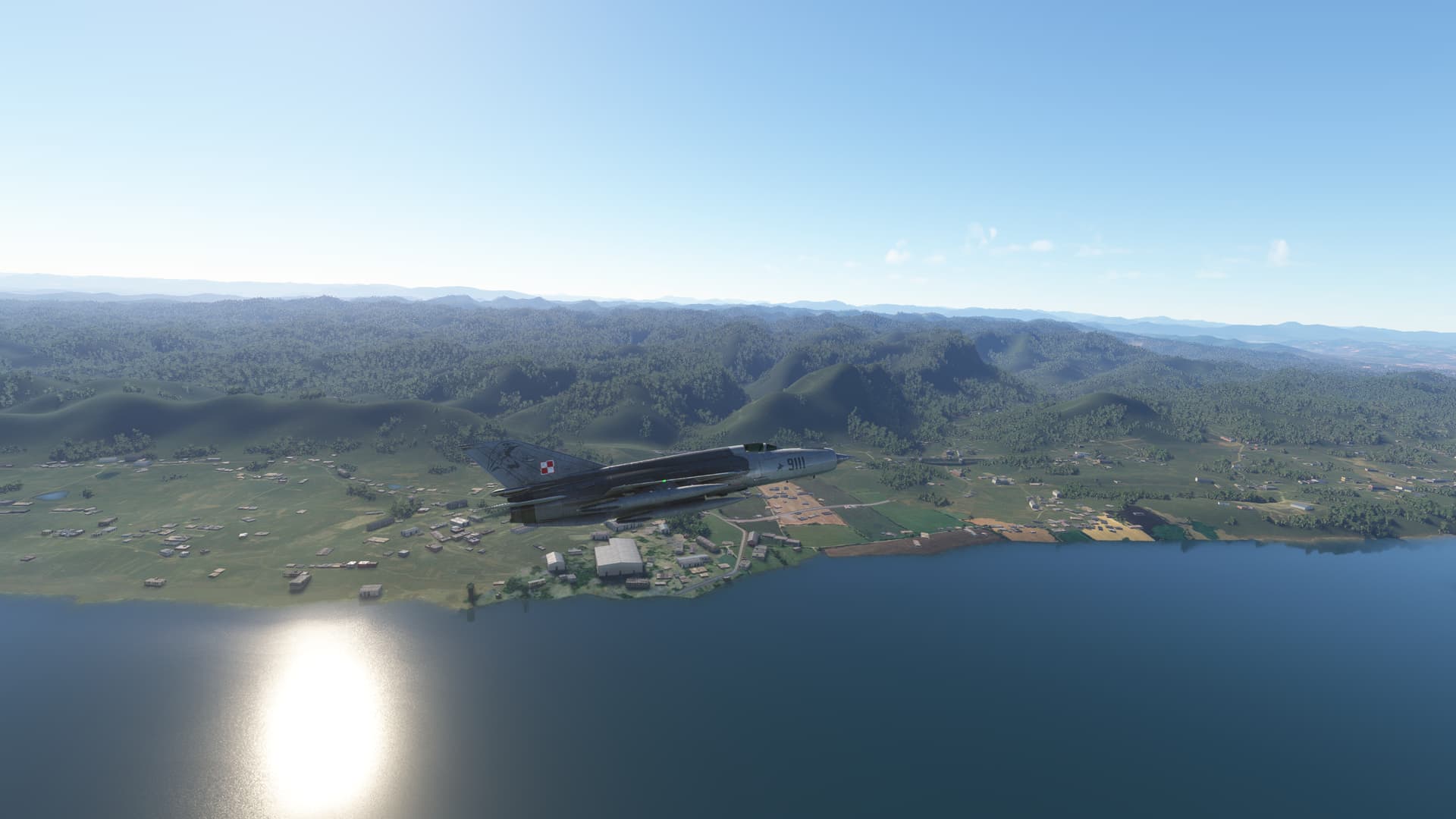
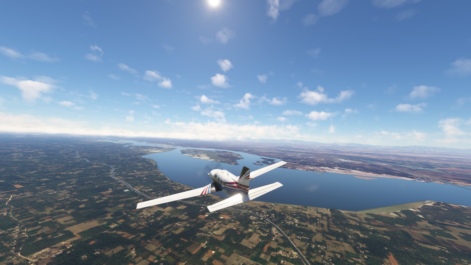
Flew over the Poyang Lake, the largest freshwater lake in China, it drains into the Yangtze River at Hukou.
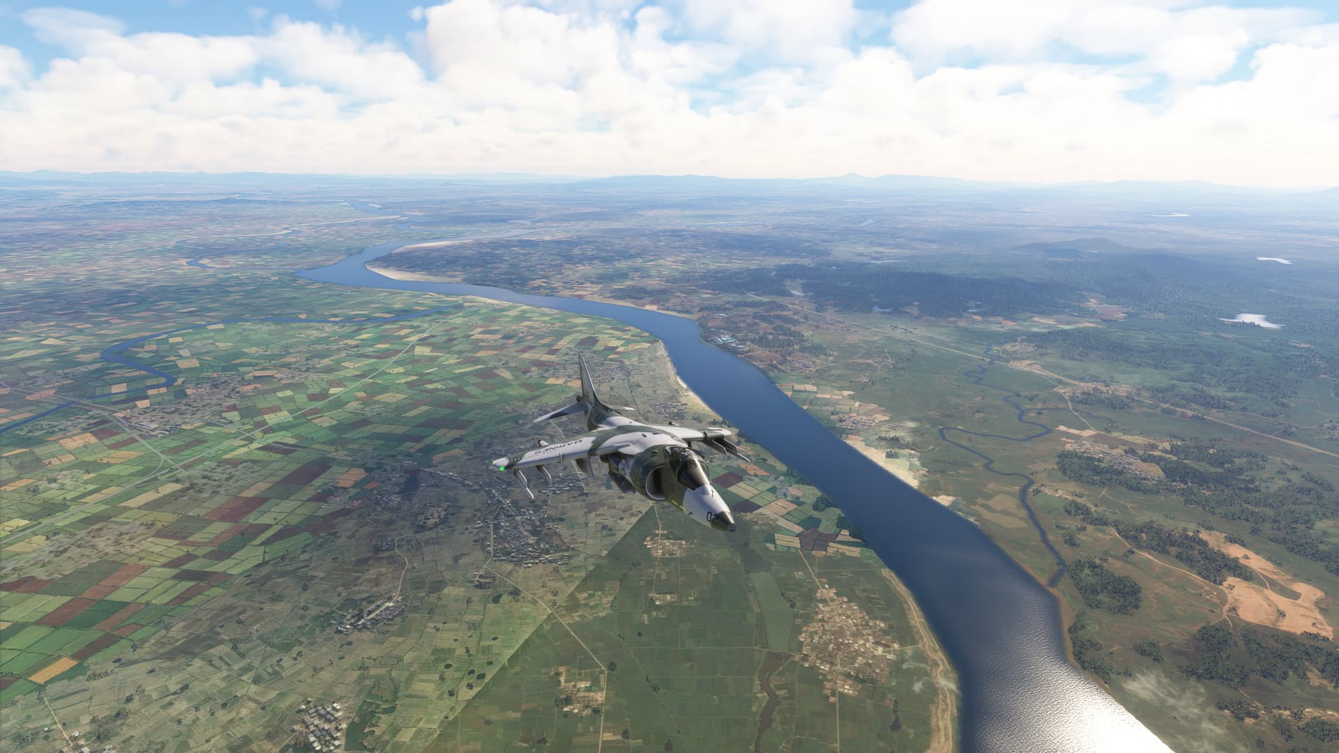
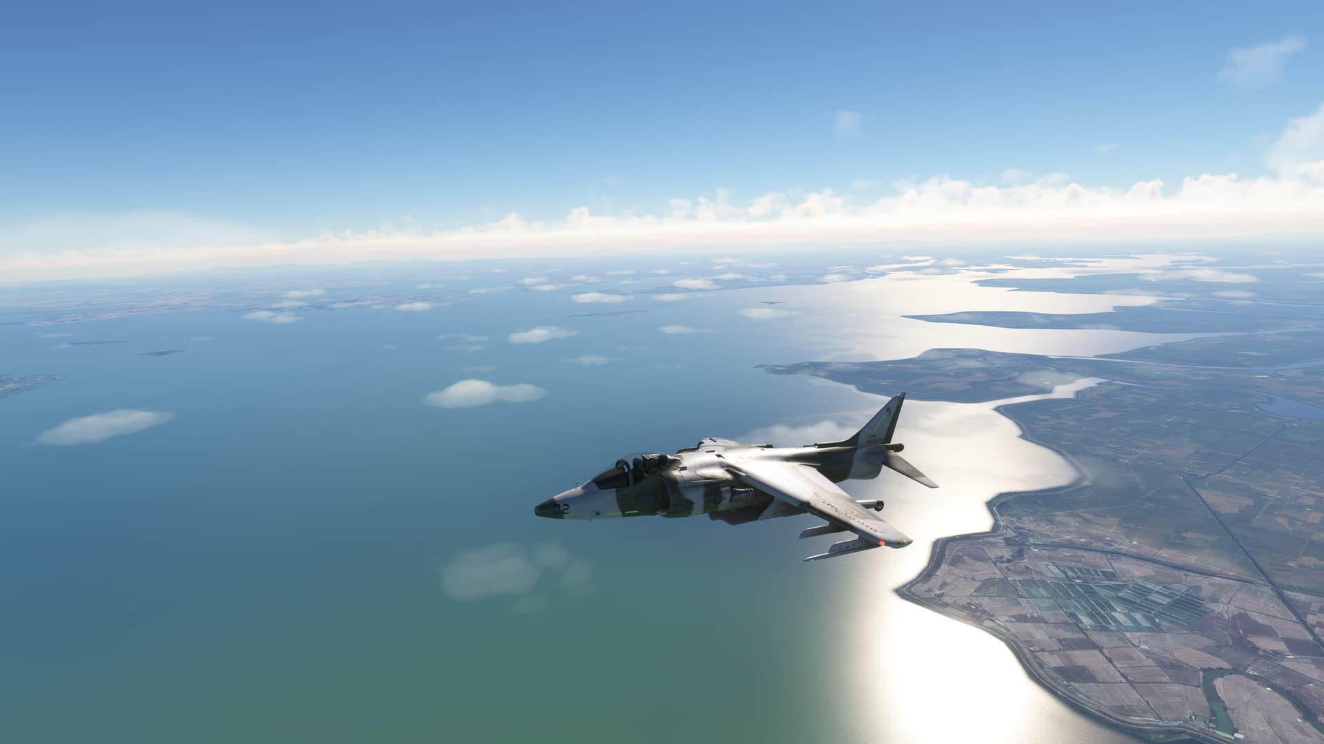
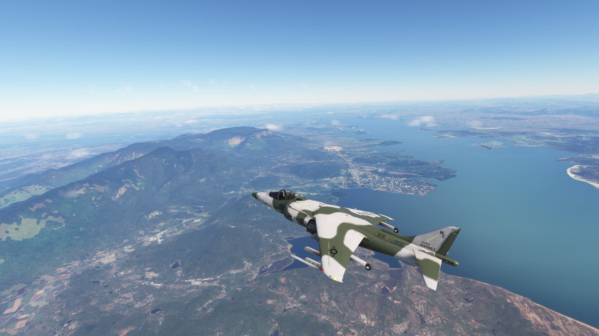
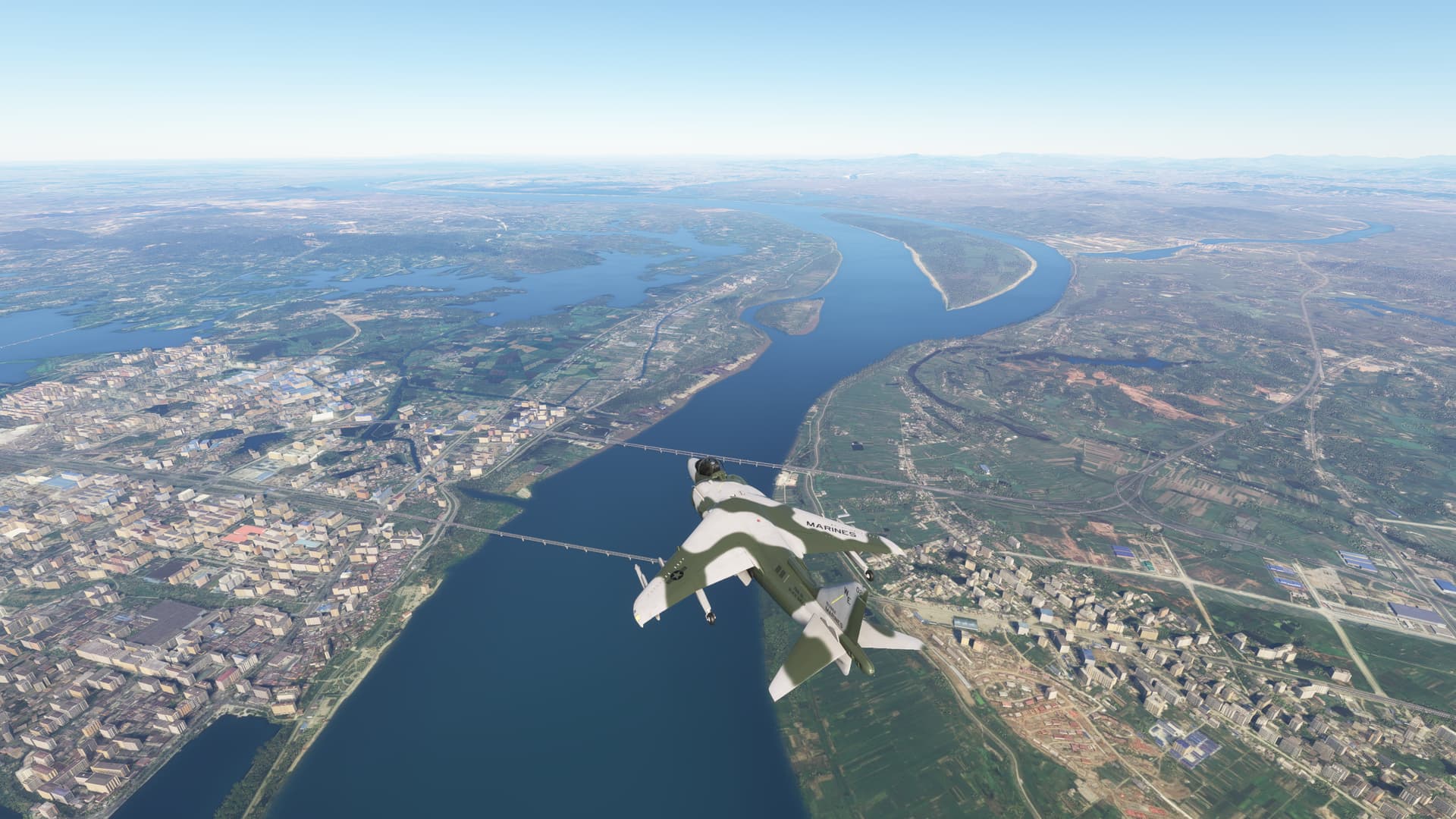
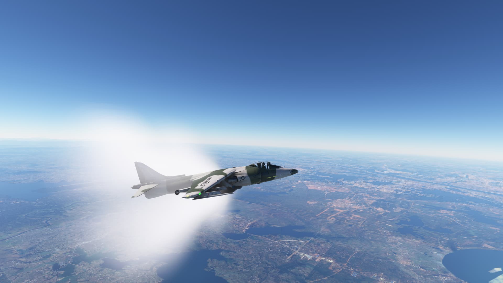
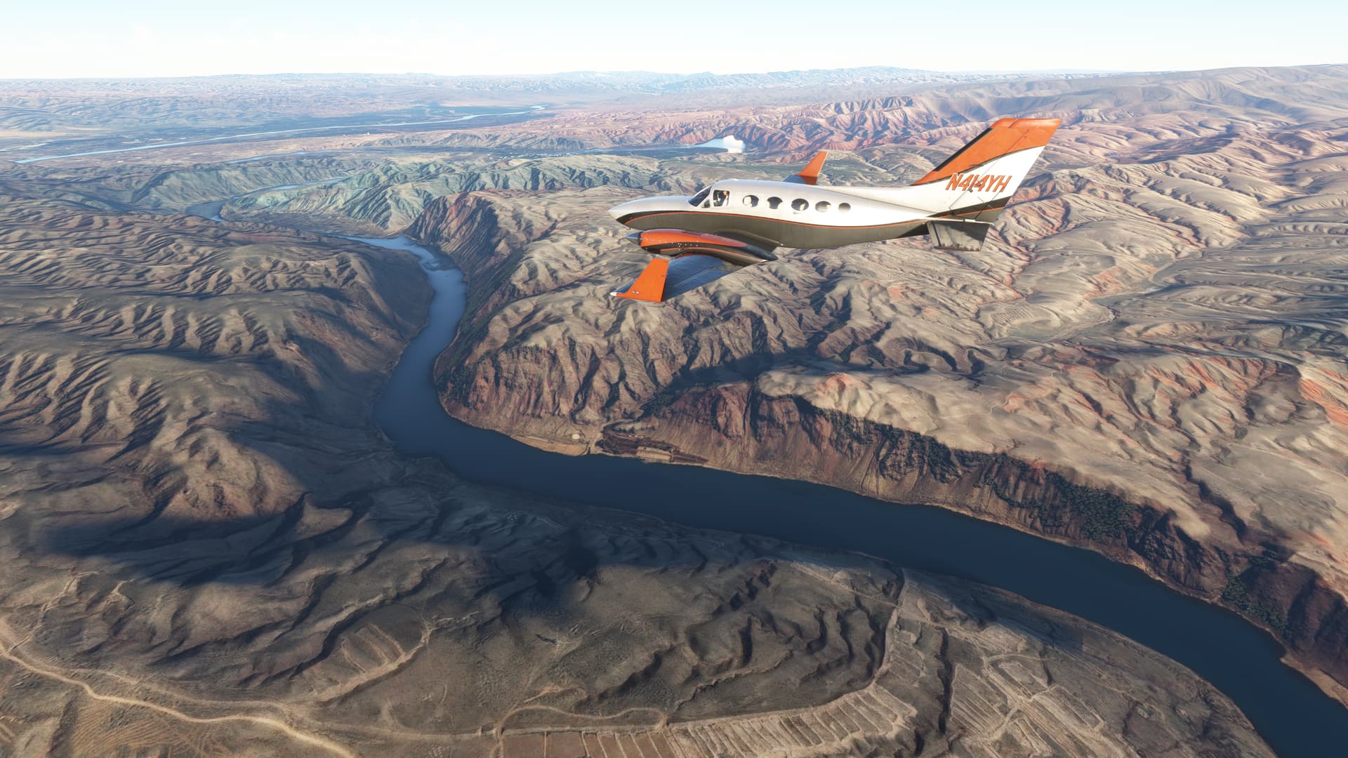
Turn left following Yangtse River, the longest river in Asia and third longest river in the world. This area forms the lower course. Flew on Huanshi over Edong Yangtse Bridge, one of longest cable-stayed bridge in the world.
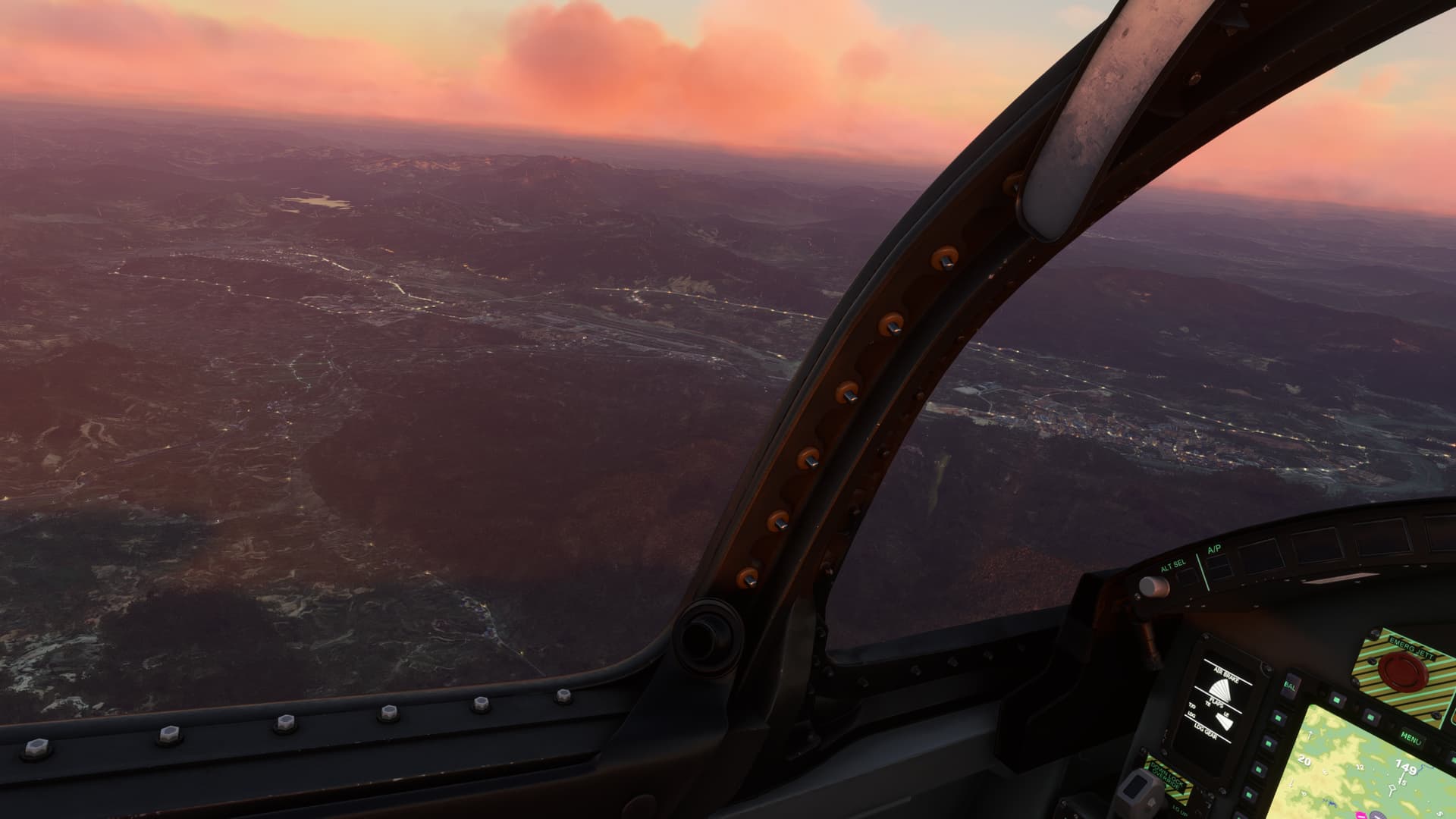
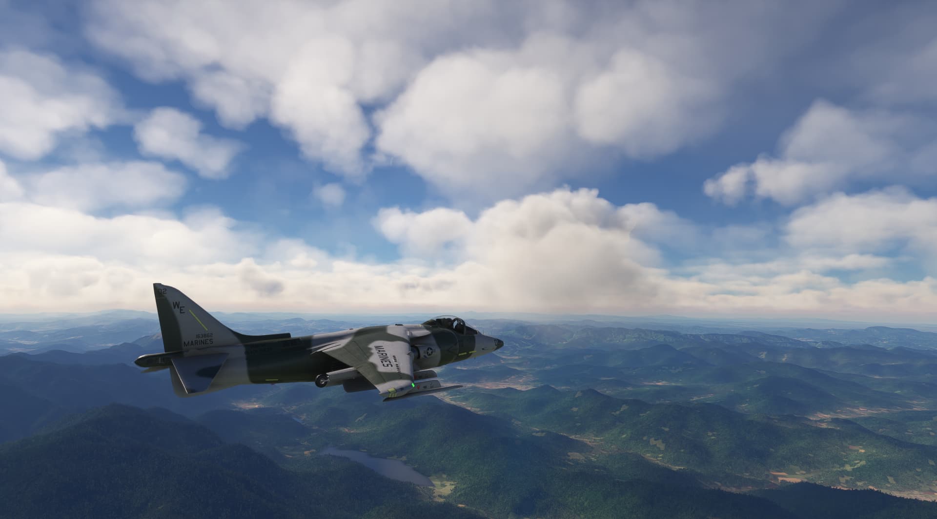
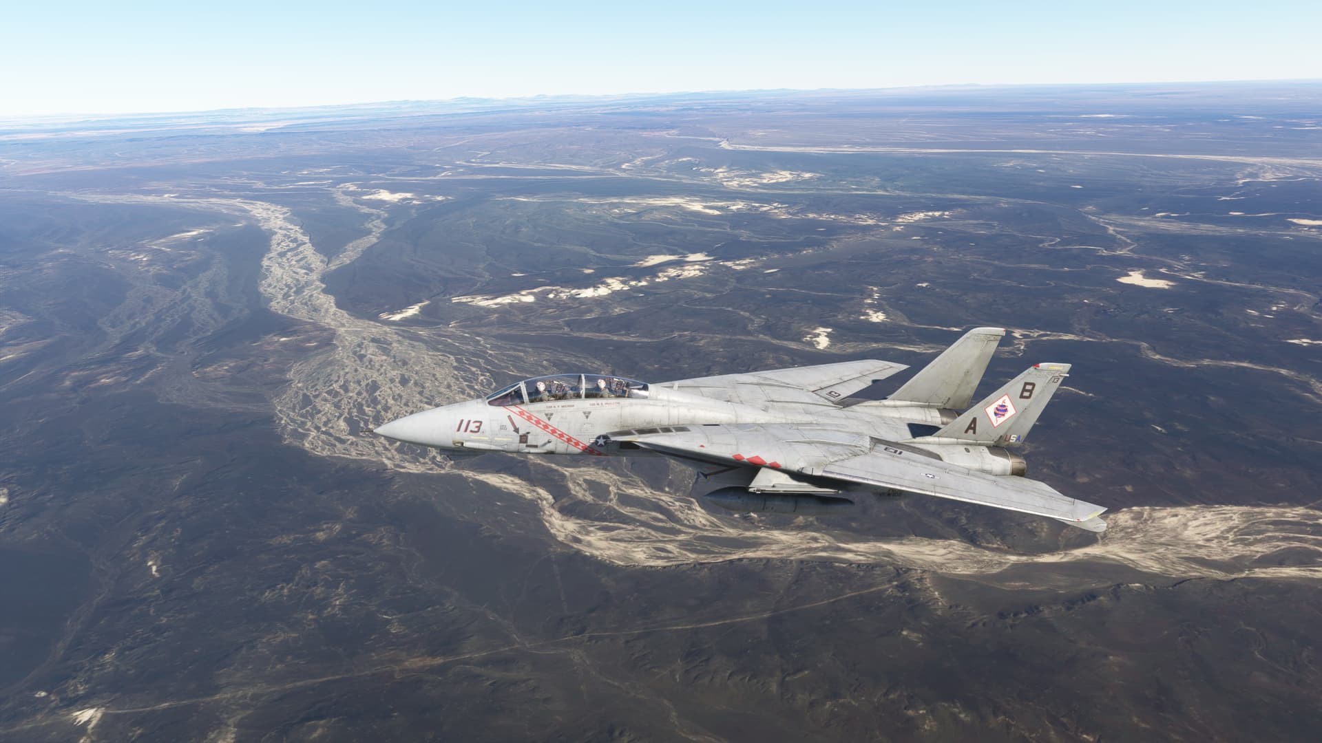
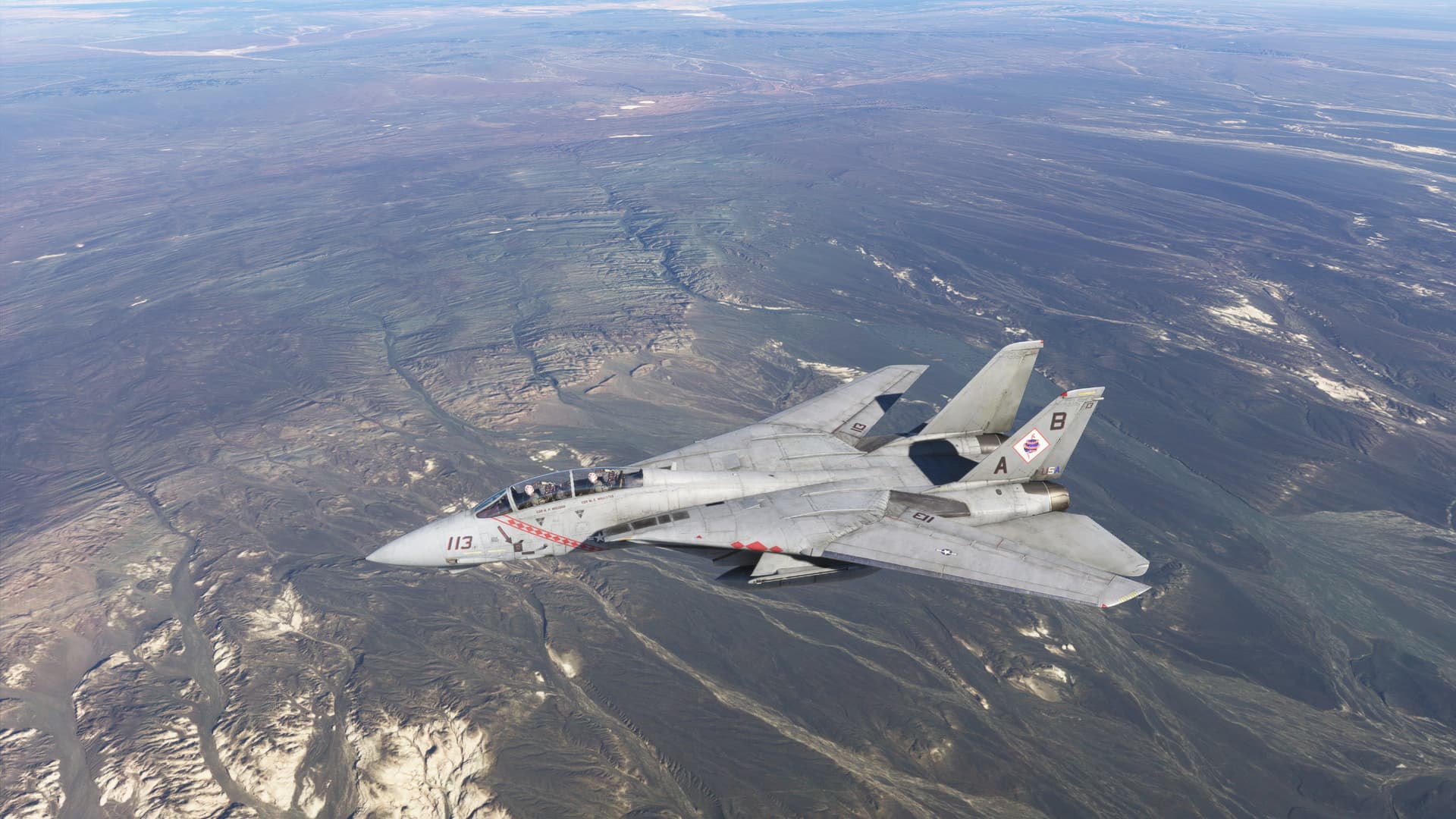
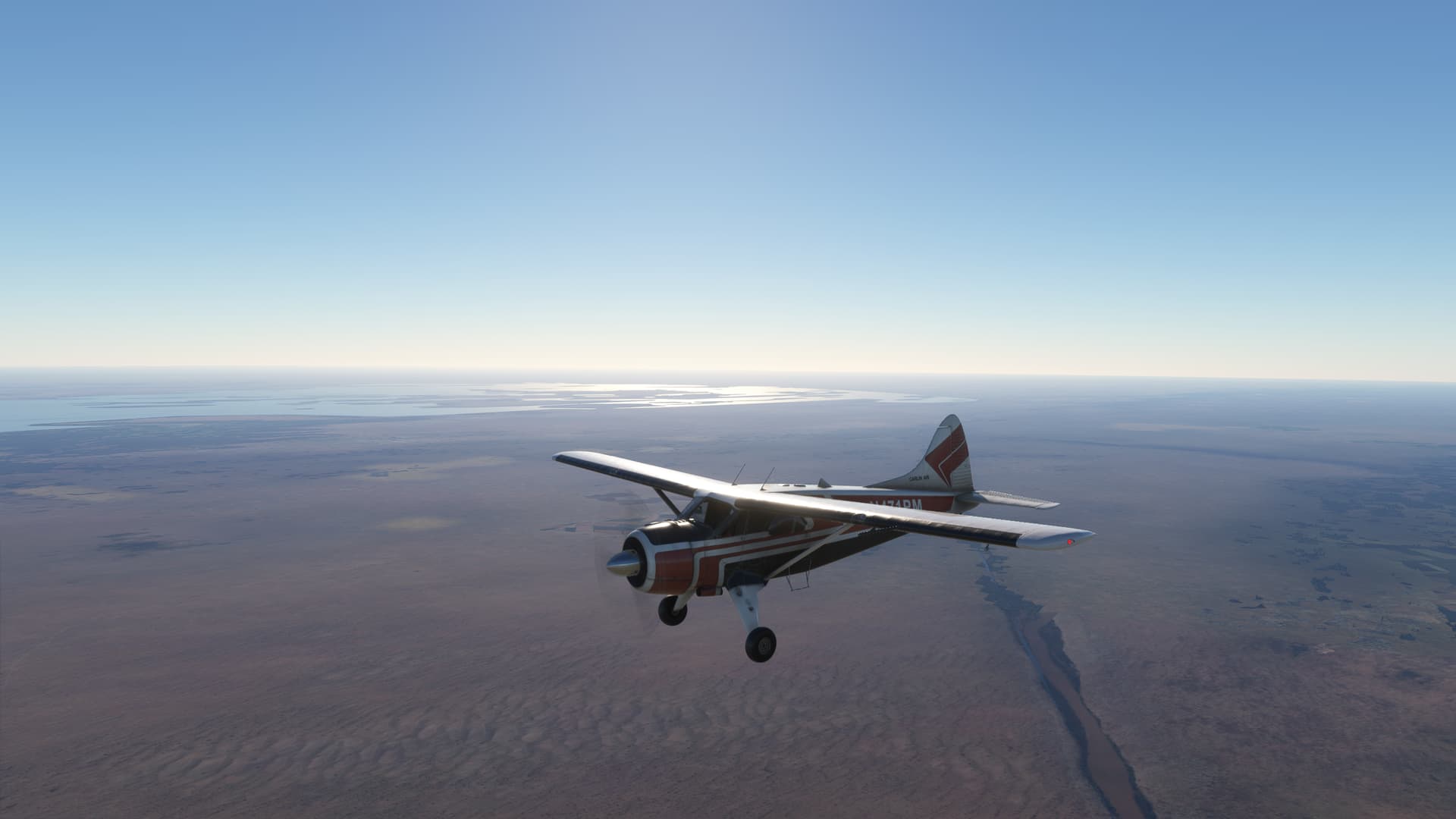
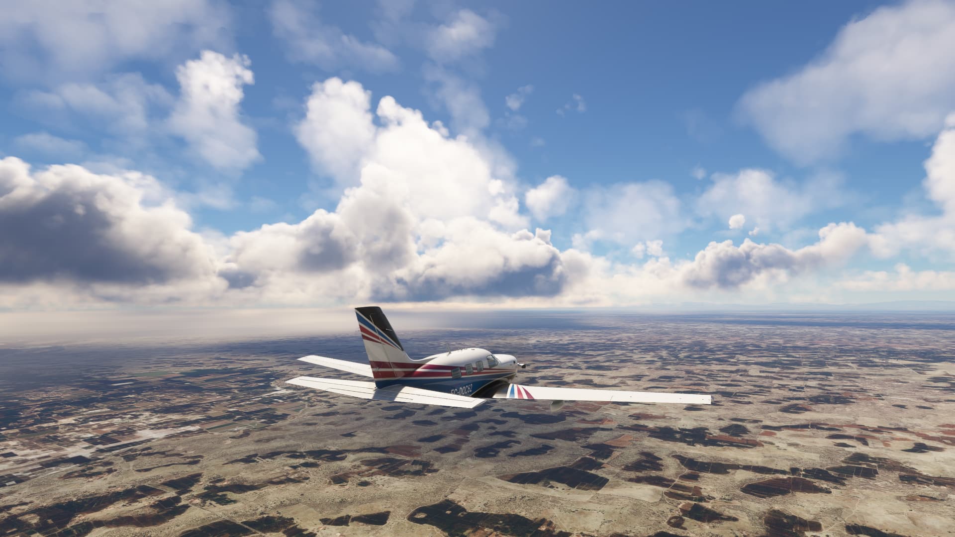
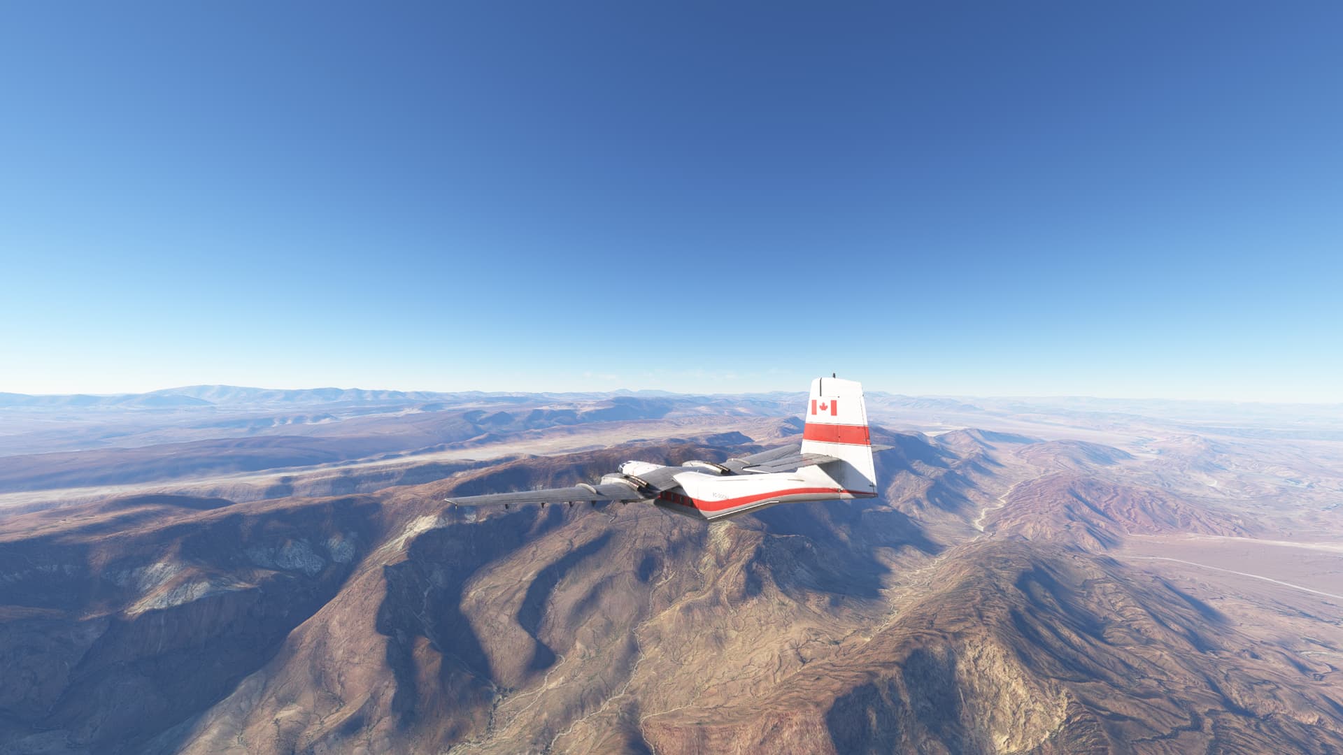
After some fun testing Harrier performance, landed at the large metropolis of Wuhan, today famous for being the origin of Covid outbreak.
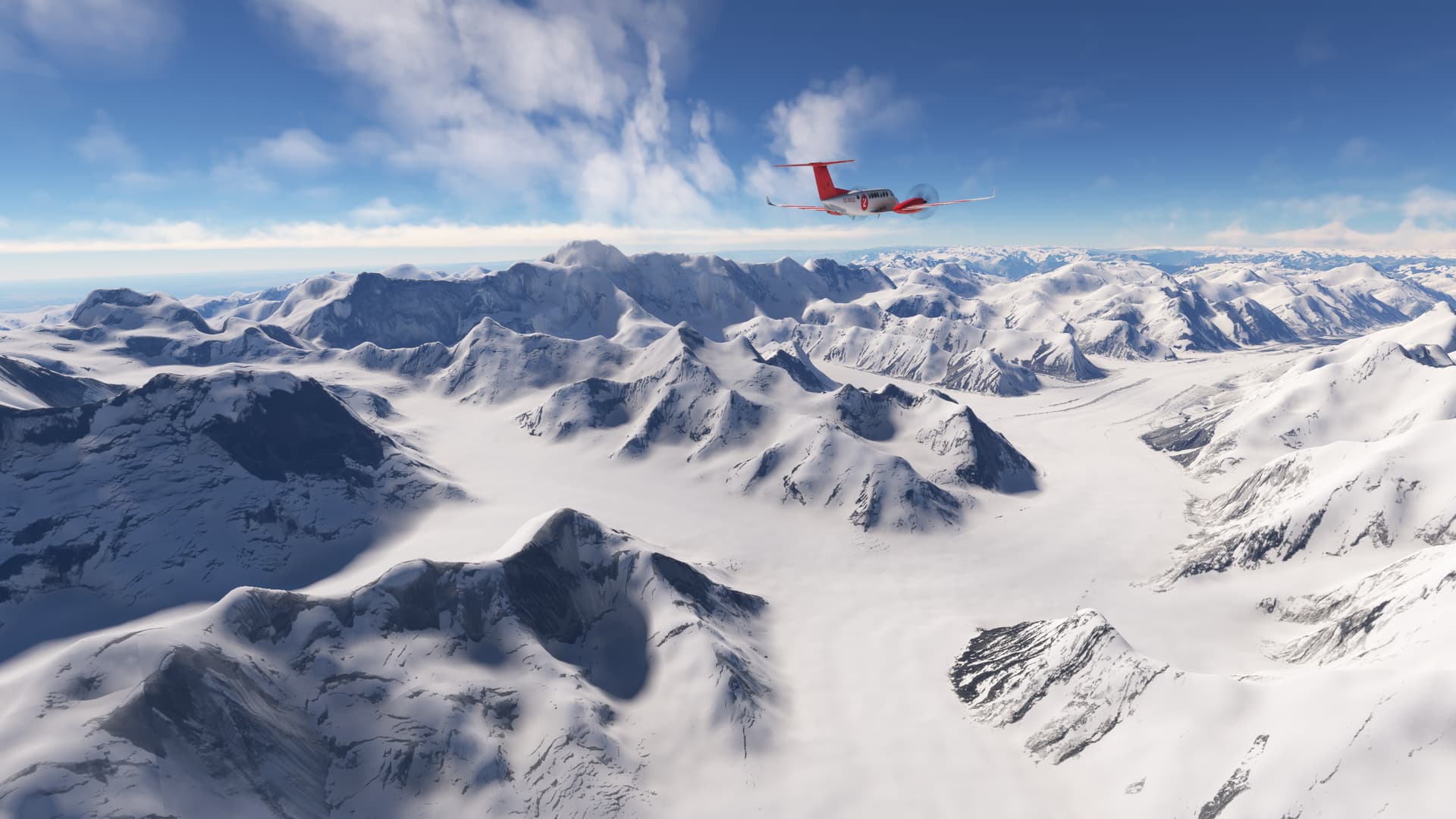
From Wuhan (ZGUA) to Wulingyuan (DYG)
A trip to Pandora source of inspiration
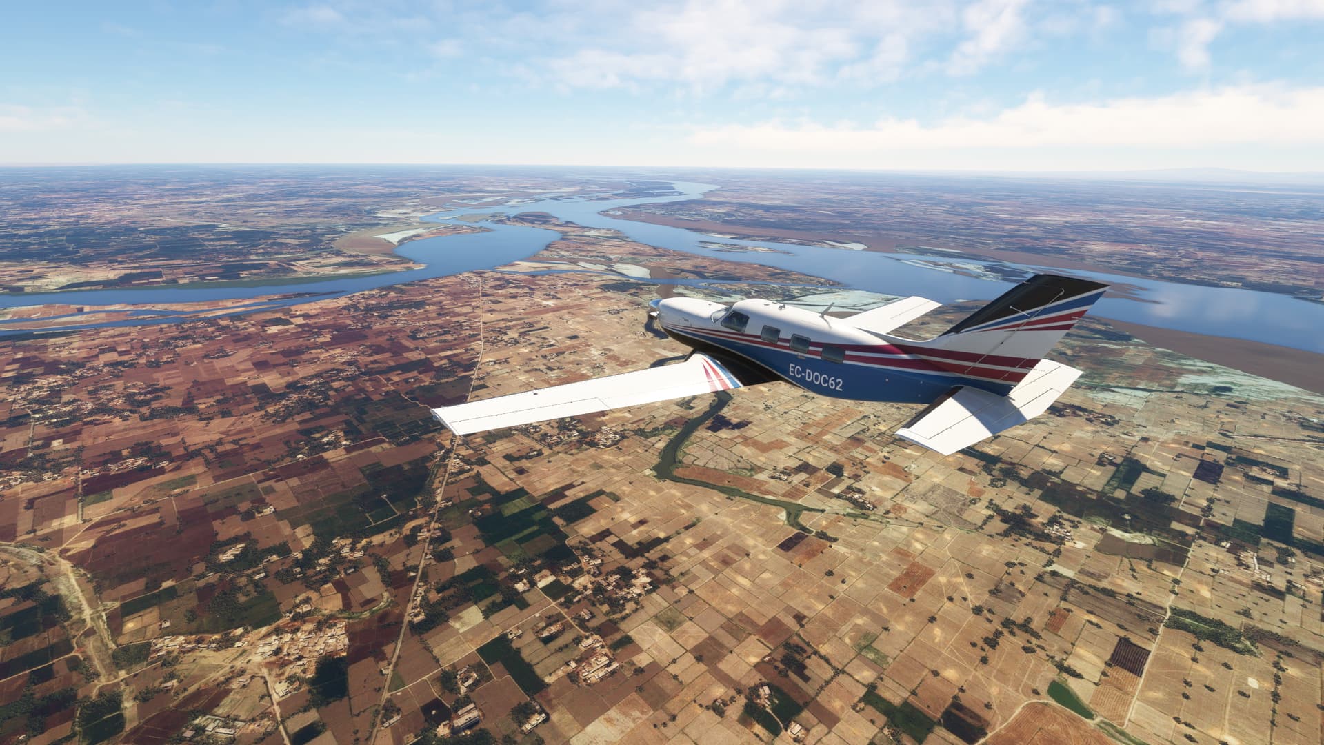
From Wuhan will follow Yangtse lower course, arriving Jingzhou turn left heading 230 until find Lishui River one of Yangtse tributary.
Follow the wide valley. At valley end is located Zhangjiajie city, the startIng point for visiting Wulingyuan scenic.
Wulingyuan Unesco World Heritage Site was included in 1992 “the site is dominated by more than 3,000 narrow sandstone pillars and peaks, many over 200 m high. Between the peaks lie ravines and gorges with streams, pools and waterfalls, some 40 caves, and two large natural bridges”.
Wulingyuan Scenic and Historic Interest Area - UNESCO World Heritage Centre.
The area is said to be the main source of inspiration for building Pandora, the planet created by David Cameron for Avatar. After circling the site, we attempted to land at Zhangjiajie and discovered the airfield is not finish. We made an emergency landing fortunately without casualties but with significant airplane damage.
From Wulingshan-Qiangiang (JIQ) to Wanxian (ZUWX)
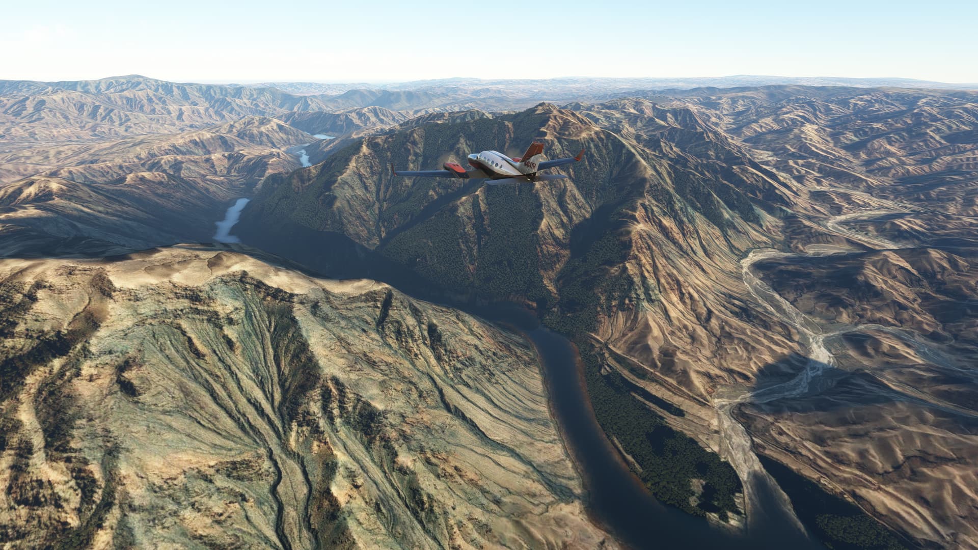
After our failure landing at Wulingyuan a friend moved us to Wulingshan-Qiangiang airport and shared a Mig 21 for crossing the mountains range of Hebei and Hunan provinces, meet Yangtse river and ride through the gorges of its middle course.
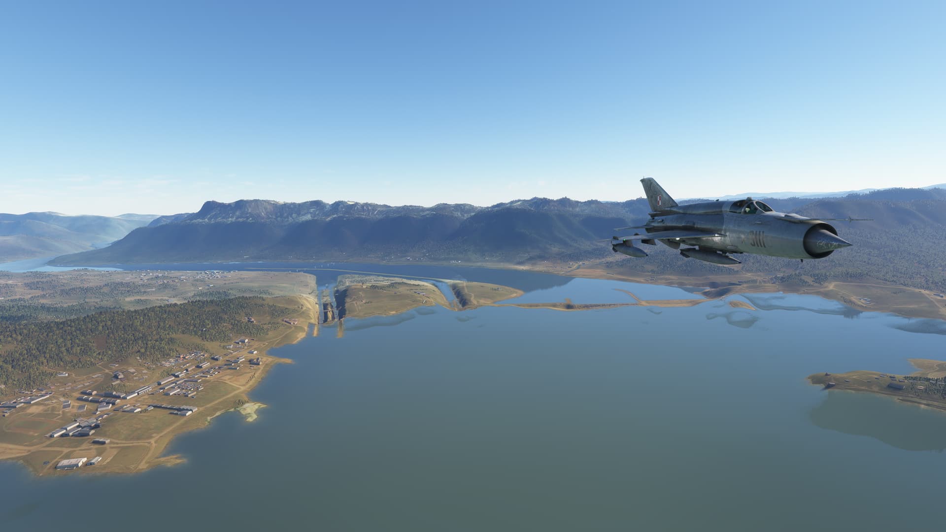
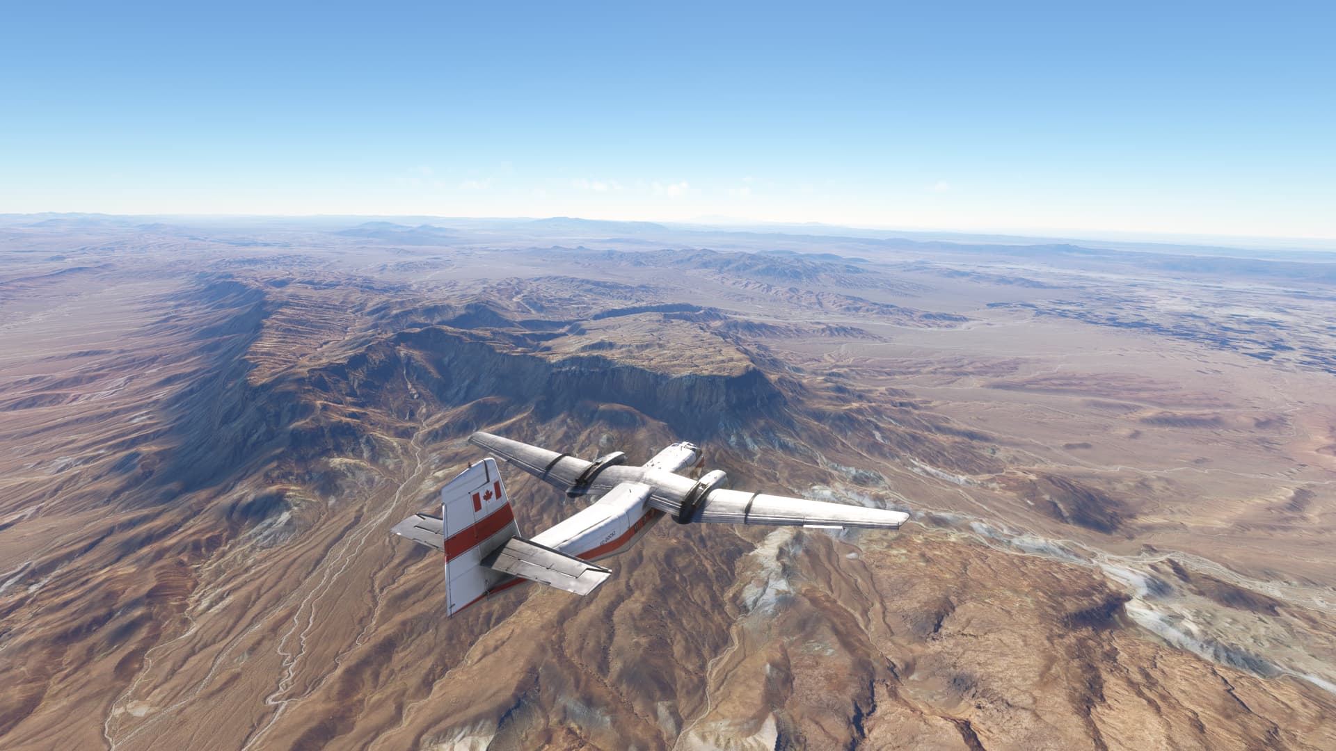
Heading north over the great scenery of Hebei mountains covered in dense forest. Reached Yangtse River at Yichang for starting our race following the Yangtse course. Soon after Yichang found Three gorges Dam, not well represented in the sim, it is one of major hydraulic infrastructure of the world.
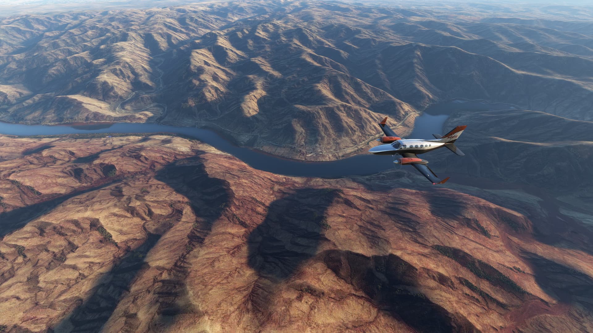
After dam followed a succession of step turns, right and left, two require close attention and anticipation. The ride is not so intense as Mach loop but enjoyable for sure. I would like to see in the sim more attention to details at least in the mayor rivers of our planet.
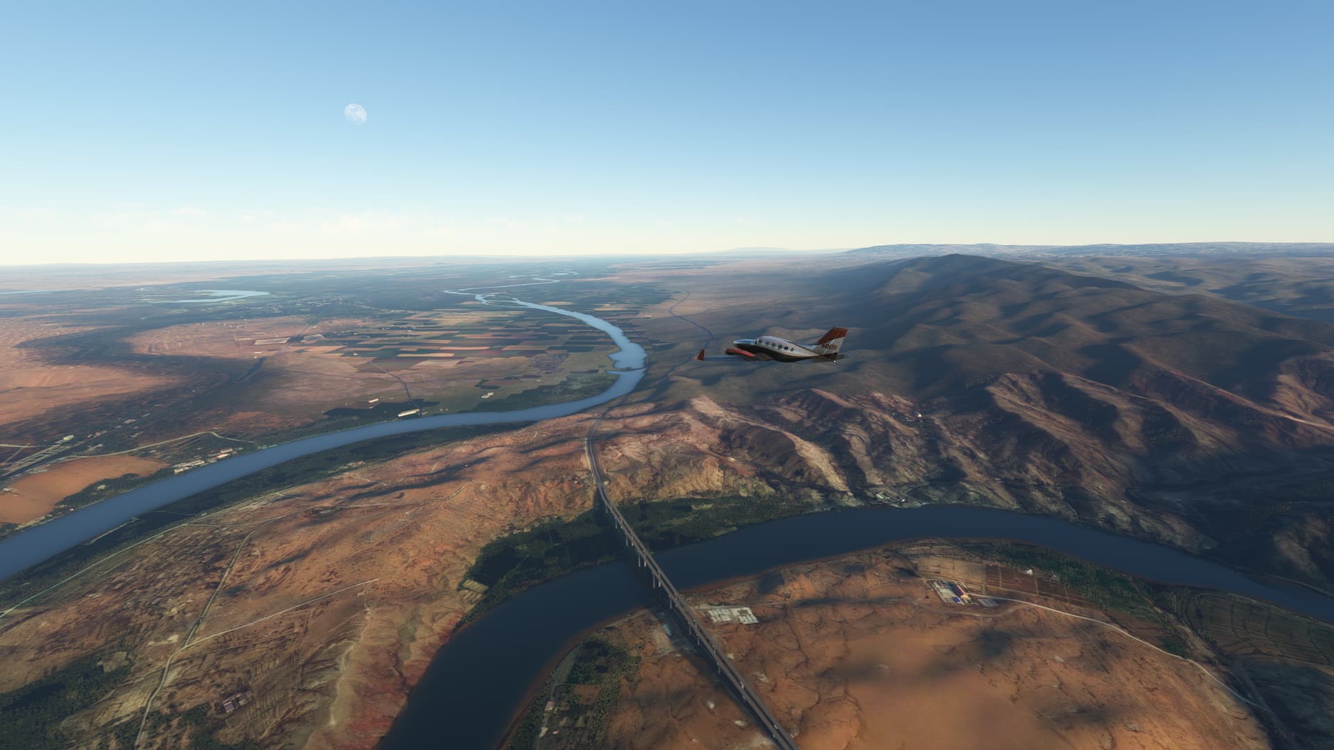
We finally arrived at Wanxian airport located in a wide meander with several bridge connecting the banks.
From Wanxian (ZUWX) to Xianyang (ZLXY)
In this leg we will cross two mountain range and two important rivers in the North of China
Left Wanxiang heading northwest, crossing over Daba mountains, an area with low population that remains virgin until today. The area provides beautiful sightseen at sunrise and sunset.
At the middle of our trip, we found Ankang, a city located in the southeast of Shaanxi province, situated in the narrow valley of the Han River, between the Qin and Daba mountain ranges. The city is known for its stunning natural landscapes, including the nearby Yinghu Lake. Despite its development, much of the surrounding area remains covered by virgin forests, adding a natural charm to the region.
Continuing north west now crossing the Qin Mountains, their highest point is Mount Taibai, which stands at an impressive height of 12,359 feet. This peak is renowned for its sharp descents and breathtaking views. Around the peak it has been created a Forest Reserve.
From Mount Taibai started a sharp descent over the Shitouhe dam to the plain of Wei River where Xian City is located. Xian, an ancient city with a history that stretches back over three millennia, served as the capital for several of China’s most significant dynasties, including the Zhou, Qin, Han, and Tang. In addition to its rich history, Xian is known for the Terracotta Army, part of the mausoleum of China’s first emperor, Qin Shi Huang. And for being the eastern terminus of Silk Road.
From Xianyang (ZLXY) to Zhongwei (ZLZW)
After two weeks far from MSFS because a business trip we will continue our travel around spectacular areas of our planet.
we continued our journey crossing the Loess Plateau, a vast and fertile region that stretches across north-central China. Known for its deep, wind-deposited loess soil, the plateau has been a cradle of Chinese civilization since ancient times. All the region is overlain by a mantle of fine-grained, wind-deposited, yellowish alluvium known as loess.
The unique geological formation of the Loess Plateau results in dramatic landscapes of steep cliffs and terraced fields. The Loess Plateau offers a serene and picturesque view that contrasts sharply with the rugged mountain ranges we had previously traversed.
Liupan Mountains range is part of the larger Loess Plateau, and its soil composition has played a crucial role in the region’s agricultural productivity. The terraced fields and lush valleys of the Liupan Mountains are a testament to the harmonious relationship between nature and human cultivation that has persisted for centuries.
In our journey, we also ventured near the middle course of the Yellow River, China’s “Mother River.” This stretch of the river is characterized by its winding path through the Loess Plateau, carving canyons and creating fertile plains. The Yellow River’s sediment-heavy waters have shaped the landscape, depositing nutrient-rich soil along its banks and supporting agriculture for millennia. Towns and villages along this route thrive amidst the dramatic scenery of terraced fields and steep cliffs.
Our destination is Zhongwei, the city lies on the northern banks of the Yellow River, amidst the stark beauty of the Tengger Desert. This city is a testament to human resilience The Shapotou Desert Experimental Research Station near Zhongwei is a notable site where innovative techniques to combat desertification have been developed, making it a unique blend of natural wonder and human achievement.
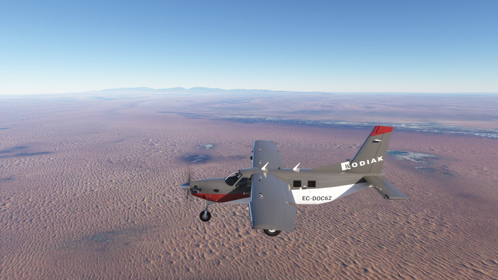
From Zhongwei (ZLZW) to Jinchuan (JIN)
Our adventure began heading north from Zhongwei at the gateway to the Badain Jaran Desert, the small settlement of Mandal. As we arrived, the morning sun painted the horizon with hues of gold and crimson, casting a magical glow over the landscape. Mandal, often referred to as the entrance to the Badain Jaran Desert, is a place where the vastness of the desert meets the warmth of human hospitality.
From Mandal, we turn west
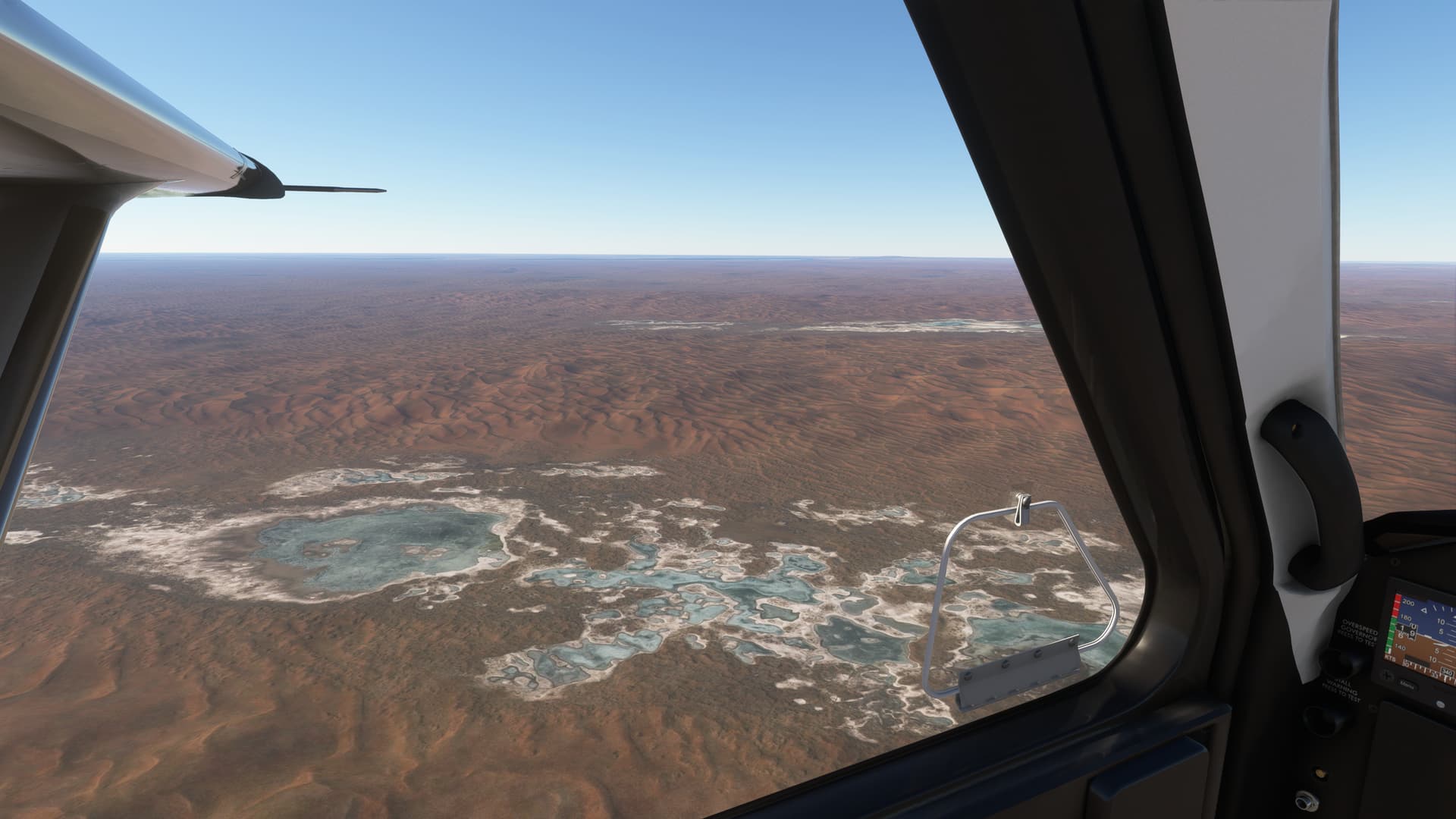
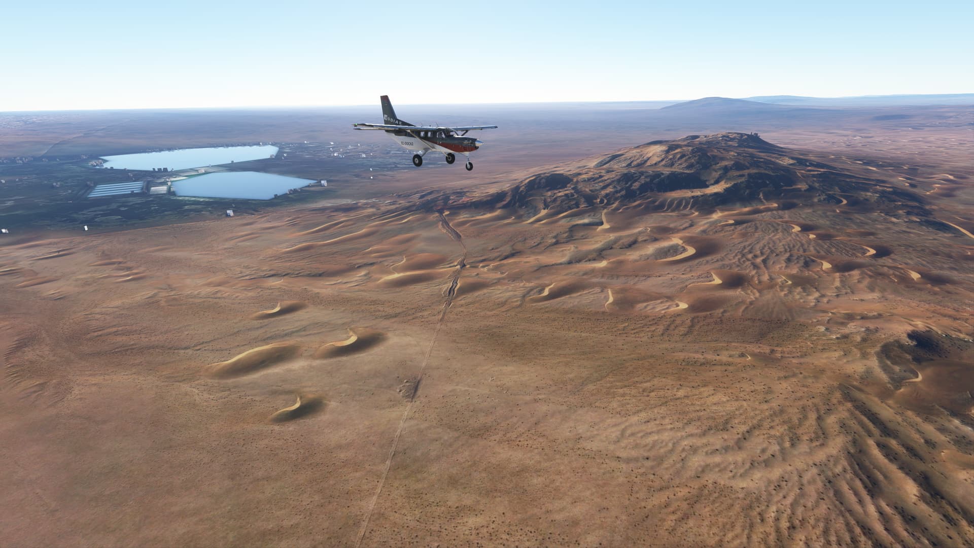
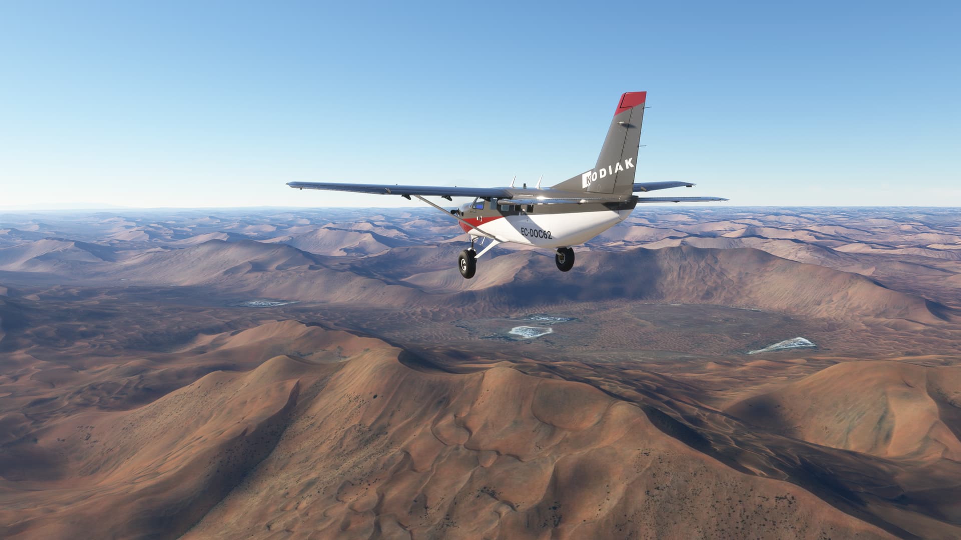
on a journey into the heart of the Badain Jaran Desert, renowned for its towering sand dunes, some of which soar to heights exceeding 1,600 feet. The desert’s awe-inspiring dunes are complemented by its mysterious freshwater lakes, which create an enchanting contrast with the arid surroundings.
As we ventured deeper into the desert from Mandal, the interplay of light and shadow on the dunes revealed an ever-changing landscape of stunning beauty. The silence of the desert, interrupted only by the gentle whispers of the wind, evoked a profound sense of tranquility.
The path from Mandal to the Badain Jaran Desert is more than a journey through sand and sun; it is a passage into a world where nature’s grandeur is on full display. The desert’s unique geological formations and rich natural history make every step of the journey a captivating exploration of one of the Earth’s most remarkable landscapes.
Landed at Jinchuan on a purple runaway making us think if all the trip was a dream.
1 Like
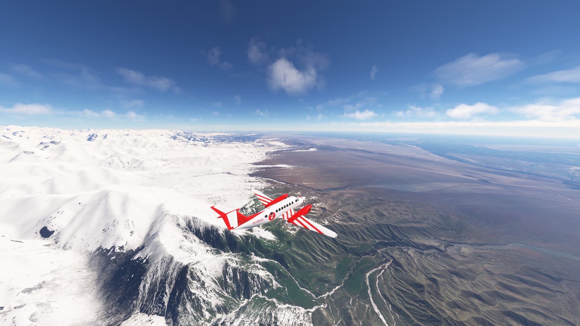
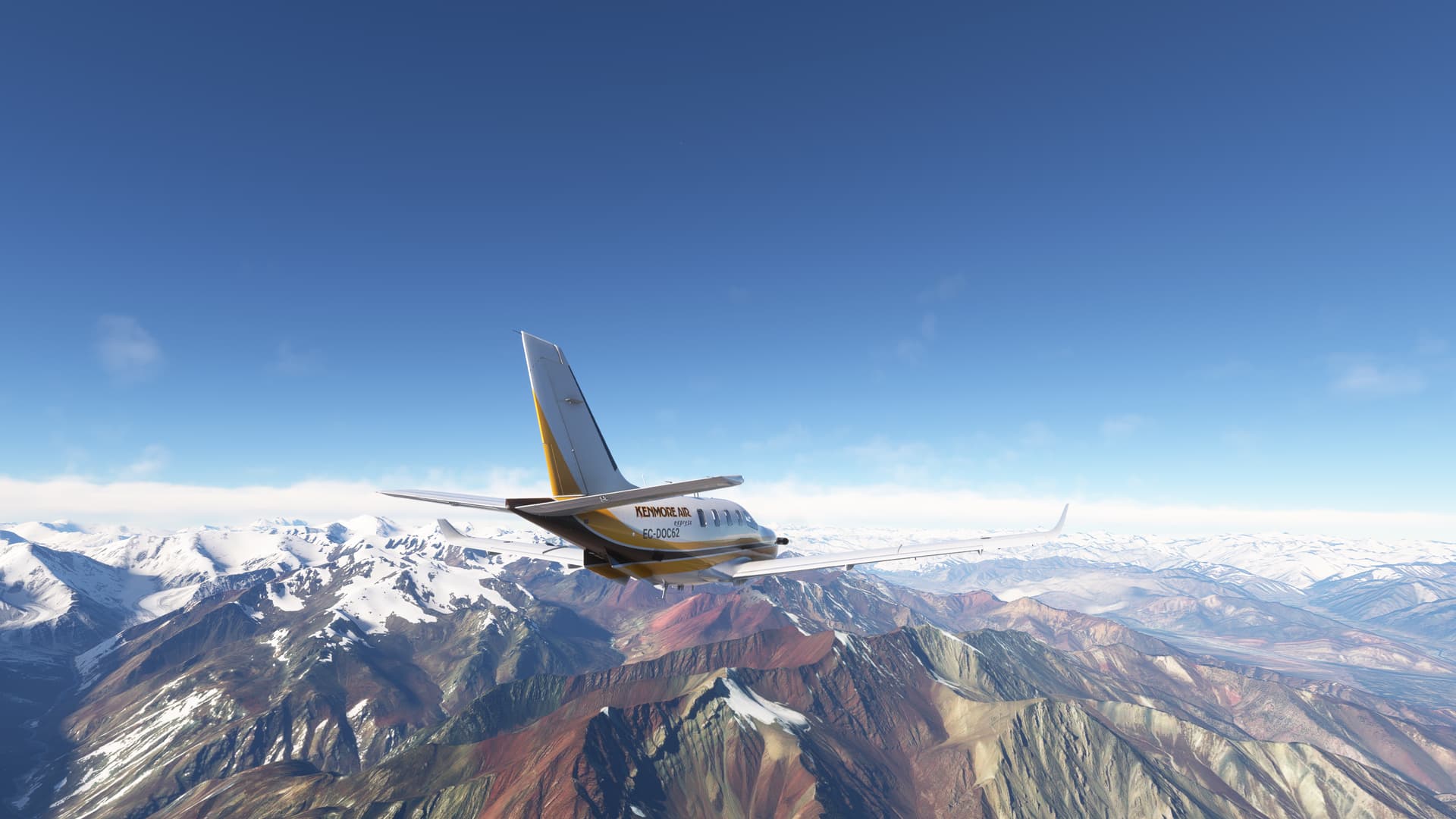
From Jinchuan (JIN) to Jiayuguan (ZLJQ)
The Qilian Mountains, forming a natural barrier between the arid Tibetan Plateau and the more temperate regions to the north. are part of the larger Kunlun Mountain system and extend for approximately 800 kilometers, with their highest peak, Qilian Shan’s Mount Daker, reaching an impressive altitude of over 5,800 meters.
Qinghai Lake is China’s largest saltwater lake. also known as Kokonor in Mongolian situated at an elevation of approximately 3,200 meters above sea level. Its vast expanse is fed by over forty rivers and streams. Every year, Qinghai Lake becomes a haven for migratory birds, attracting thousands of bar-headed geese, brown-headed gulls, and other species.
Further west lies the stunning Lake Hala, also known as Hala Hu, which nestles in the embrace of the Qilian Mountains. This alpine lake, although less renowned than Qinghai Lake. At an elevation of over 4,000 meters, Fed by glacial meltwater, the lake remains icy cold year-round, supporting a unique ecosystem adapted to its high-altitude environment.
As the journey continues, we flight again over the Qilian Mountains showcases their impressive peaks from above. The snowy heights contrast with the desert below, offering a striking view, descend over the vast expanse of the Gobi Desert to land at Jiayuguan, the westernmost end of the Great Wall of China.
From Jiayuguan (ZLJQ) to Urumqi South (ZYAG)
After our departure we cross the breathtaking views of the Gobi Desert. , its vast sands with all range of brown colours . The journey then crosses over Dunhuang, a city renowned for its centuries-old Buddhist caves and the iconic Mogao Grottoes, thanks to F14 power we jump from ground level to 30000 feet and back to ground level again enjoying the landscape. The next sight is the serene Karakoshun Lake, its placid waters reflecting the azure sky althoug the curret extension has been significatelly reduce.
Further along the flight path cross Bosten Lake, China’s largest inland freshwater lake, comes into view. Its sprawling surface, dotted with reeds and teeming with wildlife, offers another contrast to the surrounding arid terrain.
Finally, as we start our descend, the landscape transforms once again. The snow-capped peaks of the Tian Shan Mountains frame the approach to Urumqi South, providing a majestic backdrop to the urban sprawl of Urumqi. The landing marks the end of a journey that has traversed deserts, lakes, and mountains, encapsulating the diverse beauty of China’s vast landscapes.
From Urumqi South (ZYAG) to Yinyuan Nalati (ZWNL)
The Tian Shan mountain range, also known as the “Heavenly Mountains,” is one of the most majestic mountain ranges in Central Asia. The range was formed through a series of tectonic movements and collisions between the Eurasian and Indian plates, resulting in the uplift of the mountains and the formation of deep valleys and gorges.
We have divided our visit into two stages. In the first stage, we visited the Eren Habirga Mountains, the easternmost edge of the Tien Shan massif, flying over the massif and landing in the valley of the Ili River. In the second stage, we will fly over the impressive peaks of the main part of the Tien Shan up to Victory Peak and finally land on the edge of the Takla Makan Desert, right on the Silk Road.
The Eren Habirga Mountains form a natural border between the desert regions of the Tarim Basin in the south and the green valleys of the Ili Basin in the north. The topography of the Eren Habirga Mountains is varied, with high peaks, deep gorges, and extensive mountain meadows that provide breathtaking views. Enjoy all from the comfort of Pilatus PC12 cabin.
From Yinyuan Nalati (ZWNL) to Aksu (ZWAK)
The second stage of Tian Shan mountain is a comfortable flight from NE to SE over the mountain massif. From the summit, we can see the Tarim plain and the Taklamakan desert to our left, and the plains of Kazakhstan to our right.
It has been very difficult for me to summarize the trip in 10 photographs given the variety of landscapes apologies for uploading over the limit.
Halfway through the journey, we flew over Muzat Pass, an important and historic mountain pass in the Tien Shan range, which serves as a critical route for explorers and travelers navigating the rugged terrain.
This high-altitude passage connects the valleys on either side of the mountains, The pass has been used for centuries by nomadic tribes, traders, and adventurers, each leaving their mark on its storied path. The journey through Muzat Pass is both challenging and rewarding, with its steep inclines and unpredictable weather testing the resolve of even the most experienced mountaineers.
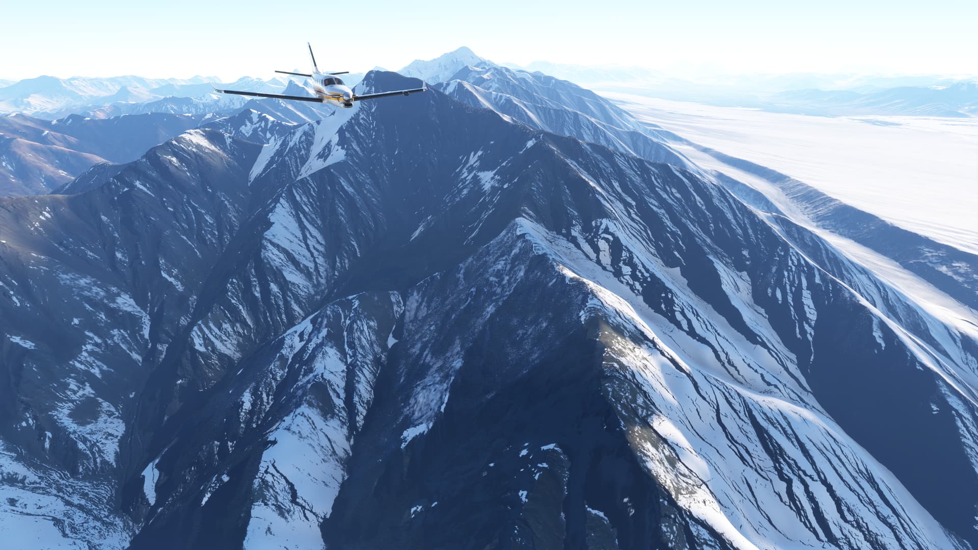
After the pass we reach Victoria Peak, also known as Jengish Chokusu, stands as the highest point in the Tien Shan mountain range . This imposing peak reaches an altitude of 24,406 feet, making it one of the most formidable and awe-inspiring summits in Central Asia. The name “Victoria Peak” was given by Russian explorers in the early 20th century, commemorating the victory of the Russian Empire in the Central Asian campaigns.
Turn left for landing in the plains of the silk route for exploring in the next leg
1 Like
From Aksu (ZWAK) to Kashgar (ZWSH)
Silk Roads: The Routes Network of Chang’an-Tian Shan Corridor is a UNESCO World Heritage Site which covers the Chang an-Tianshan portion of the ancient Silk Road and historical sites along the route
Today we will fly the section of the Silk Road that runs at the foot of the Tian Shan massif and along the edge of the Taklamakan desert. After departure fly over the city of Tumshuq. The city and its surroundings host several oasis zones that have been essential for life and agriculture in the region. These areas of fertile land allow for the cultivation of a variety of crops, including wheat, corn, and cotton. Historically, the oases have been resting and resupply points for caravans traversing the Silk Road.
Another significant geographical feature of the road is the Yarkand River Originating from the glaciers in the Karakoram Range, the Yarkand River meanders through the desert, bringing essential water to the oases. This river system is a crucial water source that sustains the ecological balance and human activities in the Tarim Basin.
Around Makit turn heading north-est toward Kashgar, one of the westernmost cities in China, Kashgar has long been a central hub along the Silk Road, facilitating trade and cultural exchanges between the East and the West.
Geographically, Kashgar is situated at the edge of the Taklamakan Desert, bordered by the towering Pamir Mountains to the west and the Tianshan Mountains to the north. This location provides a stark contrast between the arid desert landscape and the snow-capped peaks of the surrounding mountain ranges.
From Kashgar (ZWSH) to Namangan (UTFN)
We will cross the Pamir Range for landing at one of the most fertile valleys of Asia.
The Pamir range is characterized by its remote and pristine beauty, with vast expanses of untamed wilderness. Here, one can find an array of flora and fauna adapted to the harsh, high-altitude environment, including snow leopards and Marco Polo sheep. The mountains have also been a historical crossroads, with ancient routes traversed by traders, pilgrims, and conquerors, each leaving their mark on the cultural tapestry of the region.
As we venture further into this rugged terrain, we reach the serene shores of Qarakul Lake. Nestled high in the Pamir Mountains at an elevation of over 3,900 meters, the lake’s name, meaning “black lake” in the local language, is a testament to the deep, dark waters that provide a stark yet beautiful contrast to the snow-laden landscape.
Continuing our journey, we cross the Trans-Alai Range, a majestic extension of the Pamirs. This range forms a natural border between Tajikistan and Kyrgyzstan and is known for its towering peaks, some reaching over 22 000 feet.
(upload://lz98UQkqDgwGMk1EWrvVdR9Zl0K.jpeg)
We end our journey at The Fergana Valley, known for its fertility, is one of the most important agricultural areas in Central Asia. It is framed by the Alai and Tian Shan mountains, which provide it with a unique climate and rich soils. The rivers flowing from the mountains irrigate the valley, creating a lush green landscape that contrasts with the surrounding arid steppes.
1 Like
From Namangan (UTFN) to Turkmenabat (UTAV)
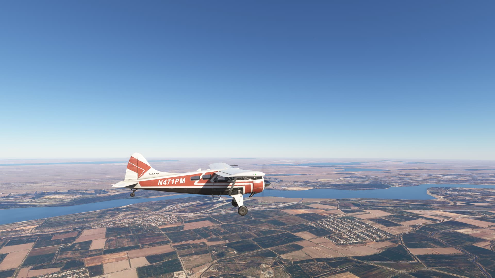
The Fergana Valley, one of the most fertile and densely populated regions of Central Asia, is crossed by several important rivers. Among these, the Syr Darya River stands out, meandering through the valley and providing vital water for agriculture and industry.
As we traverse the length of the Fergana Valley, we come upon the Tajik Sea, an expansive reservoir that not only serves as a vital water source for the region but also as a breathtaking mirror reflecting the sky and the towering peaks of the surrounding mountains.
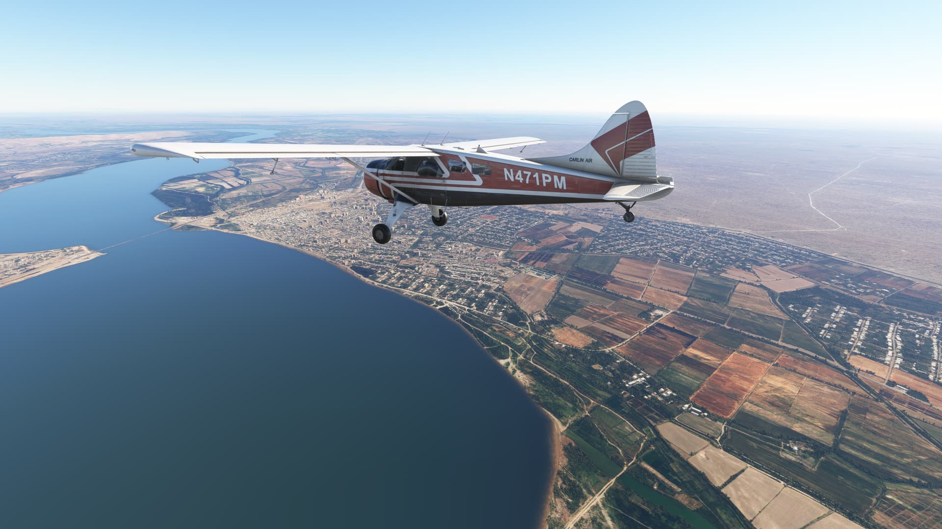
We continue following the valley parallel to the mountains until we encounter Aydarkol stunning artificial lake in Uzbekistan, emerged during the Soviet era when the Syr Darya River overflowed. Surrounded by the Kyzylkum Desert, Aydarkol spans about 3,000 square kilometers, forming a vital habitat for various bird species and a popular destination for fishing and tourism.
Turn heading south east to enter the arid plain of Uzbekistan for flying over Dengizkol, a saltwater lake that stretches across hundreds of square kilometers. This body of water, formed by the convergence of rivers and canals, is an oasis in the middle of Uzbekistan’s arid landscape. It was included in 2001 at Ramsar site of international value.
Beside the lake landed at Turkmenabat where our next leg will start
From Turkmenabat (UTAV) to Mazar I Sharif (OAMS)
On this stage, we fly over the middle course of the Amu Darya river between Turmenabat and Mazar I Sharif.
Historically known as the Oxus, the Amu Darya river is one of the major watercourses in Central Asia, stretching approximately 2,400 kilometers from the Pamir mountains to the Aral sea.This is one of those monotonous landscape that invites us to reflect on the impact of human activity on the planet while improving our aerial navigation skills.
Short distance from the river, there is an extensive plain that cannot support human activity. The river is so exploited that it has led to the drying up of the Aral Sea into which it flowed. The extent of the desert always reminds me of the fragility of human life and at the same time the enormous capacity we have to transform the territory.We fly over Kerki where river water is channeled to Lake Zeyit through a system of canals and tributaries designed to harness its flow and ensure a constant supply for irrigation and other agricultural activities in the region.
We landed in Mazir I Sharif at the foot of the Hindu Kush mountains in a sunset out of oriental tales.
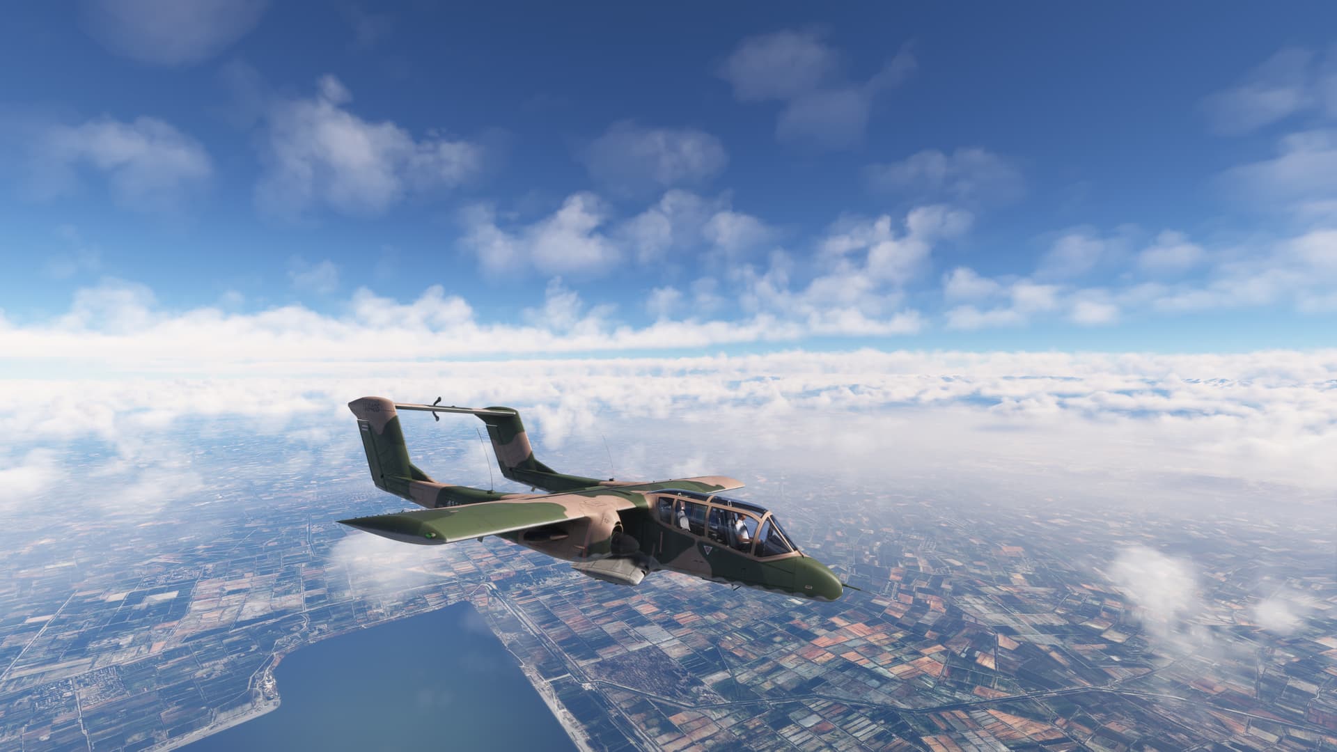
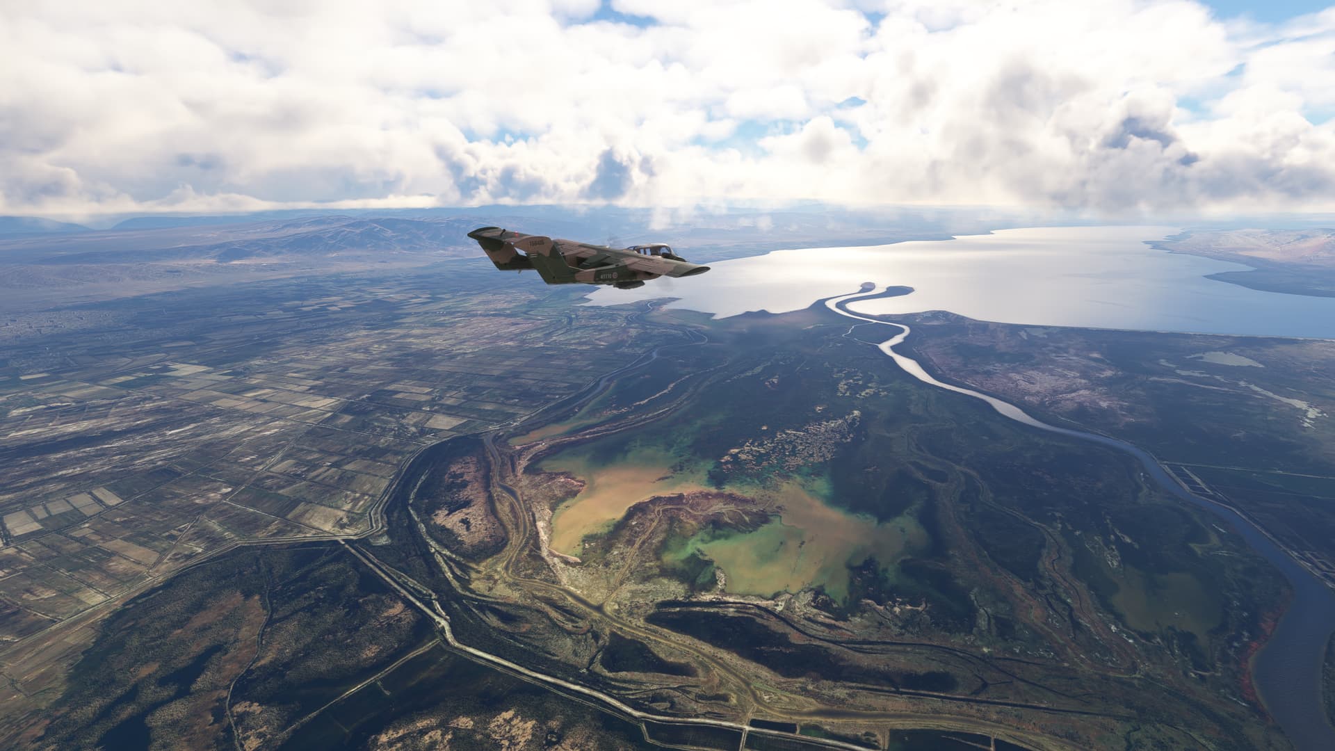
From Mazir I Sharif (OAMS) to Jalalabad (OAJL)
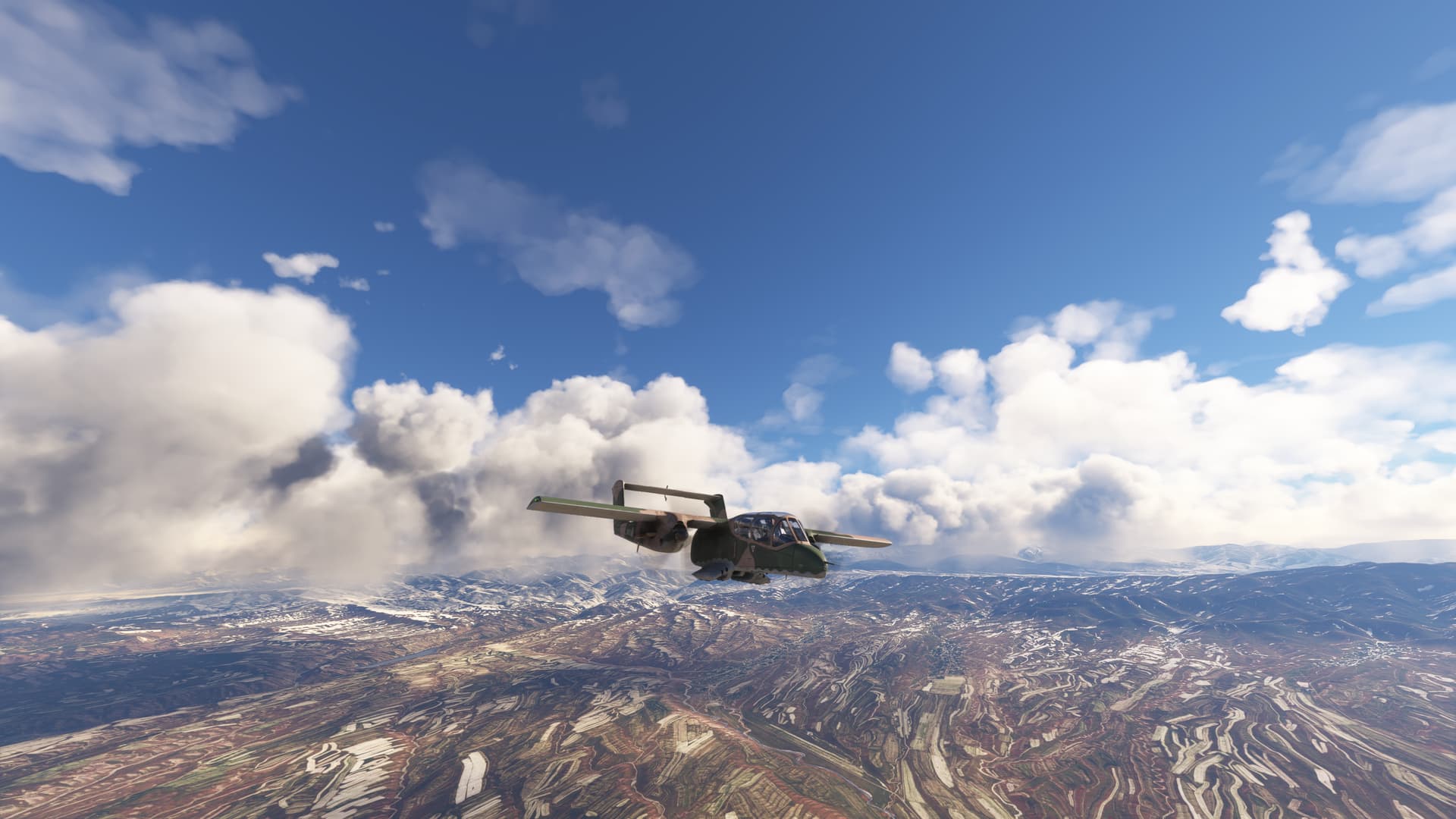
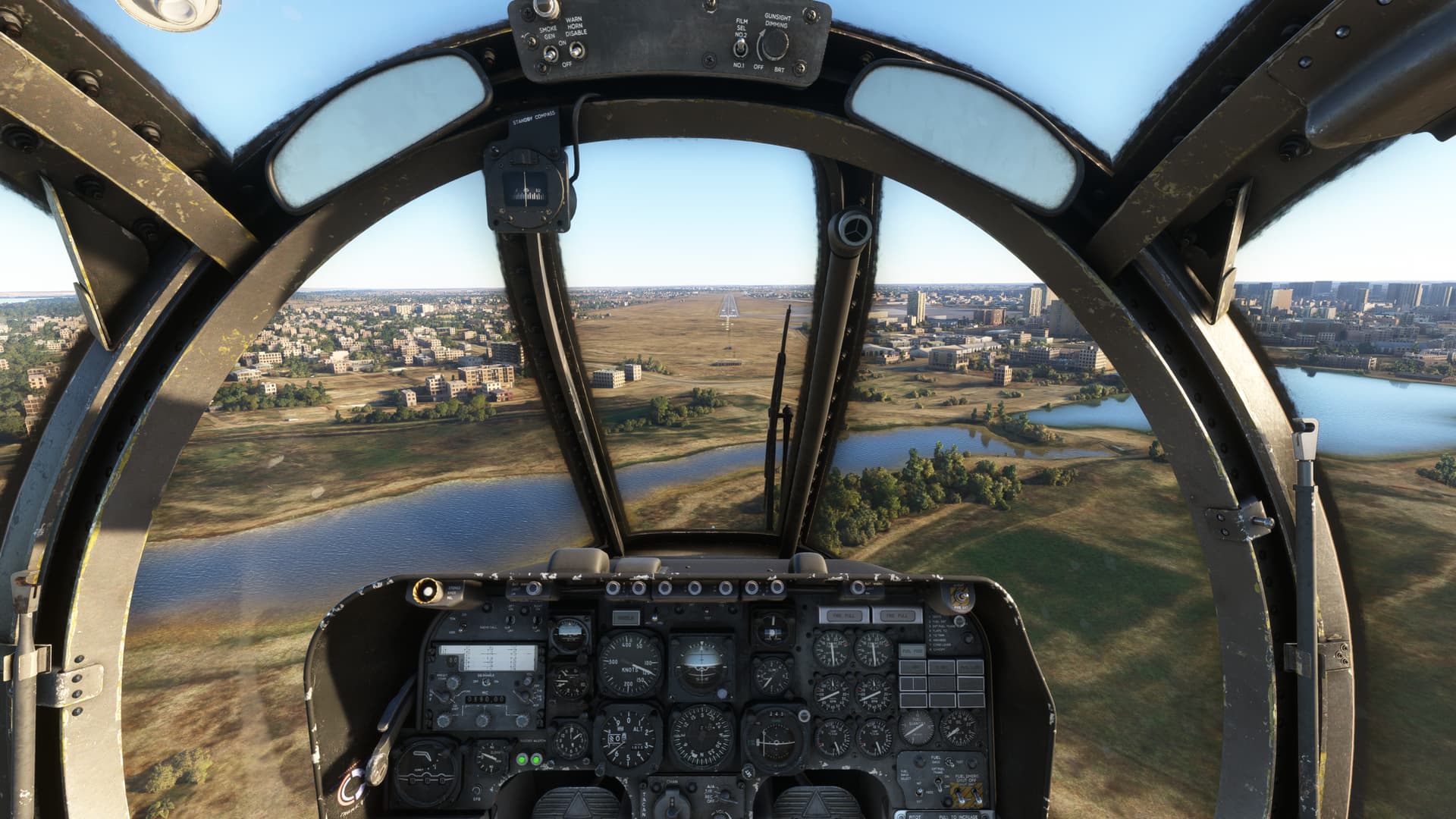
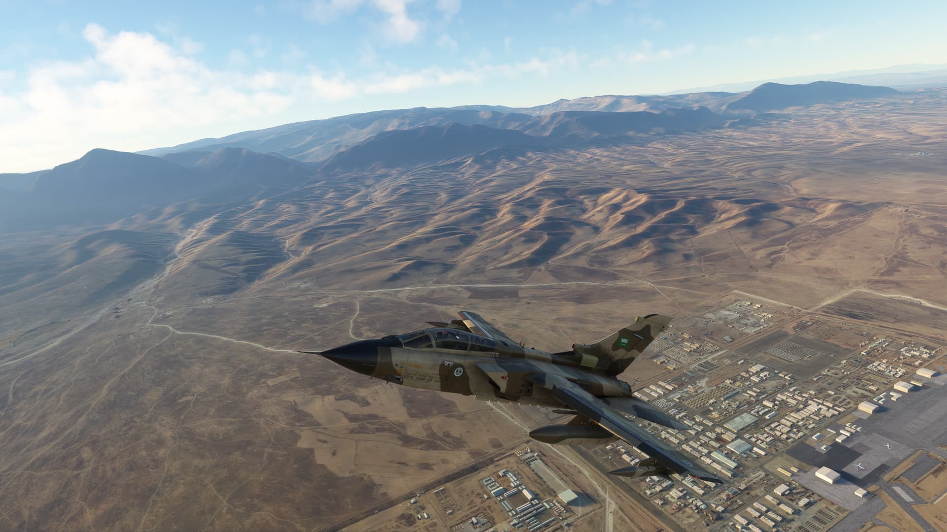
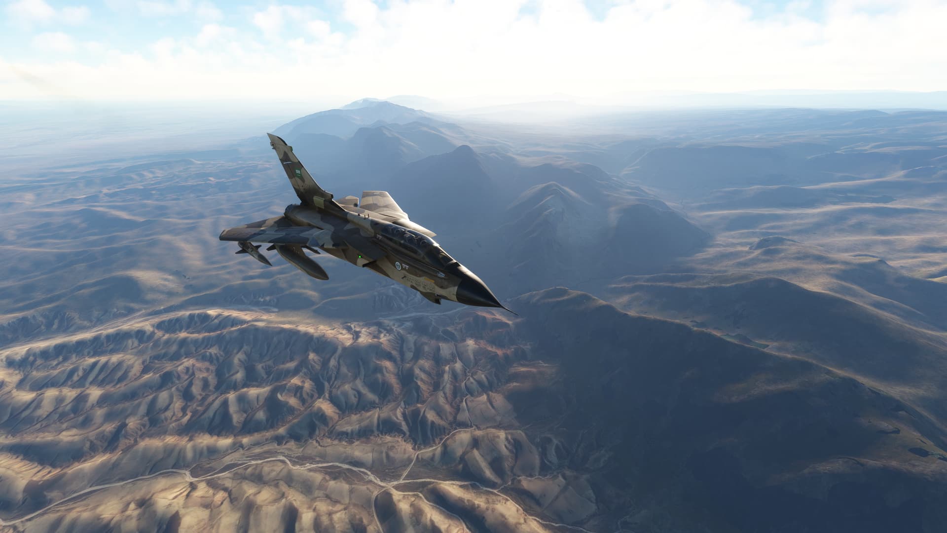
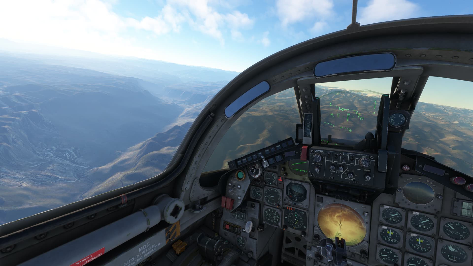
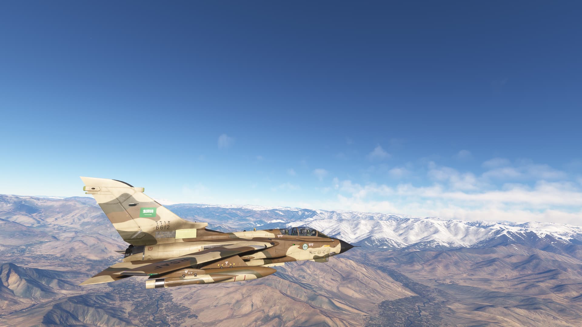
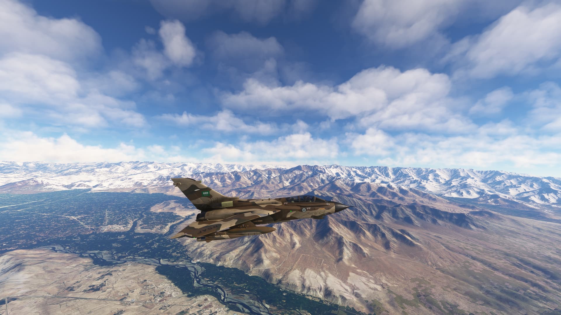
Will fly the Hindu Kush our first time with the “Tornado”
The Hindu Kush mountain range, stretching across Afghanistan and Pakistan, is one of the most formidable and majestic ranges in the world. Known for its rugged peaks and treacherous passes, it has been a barrier and a route for various civilizations and conquerors.
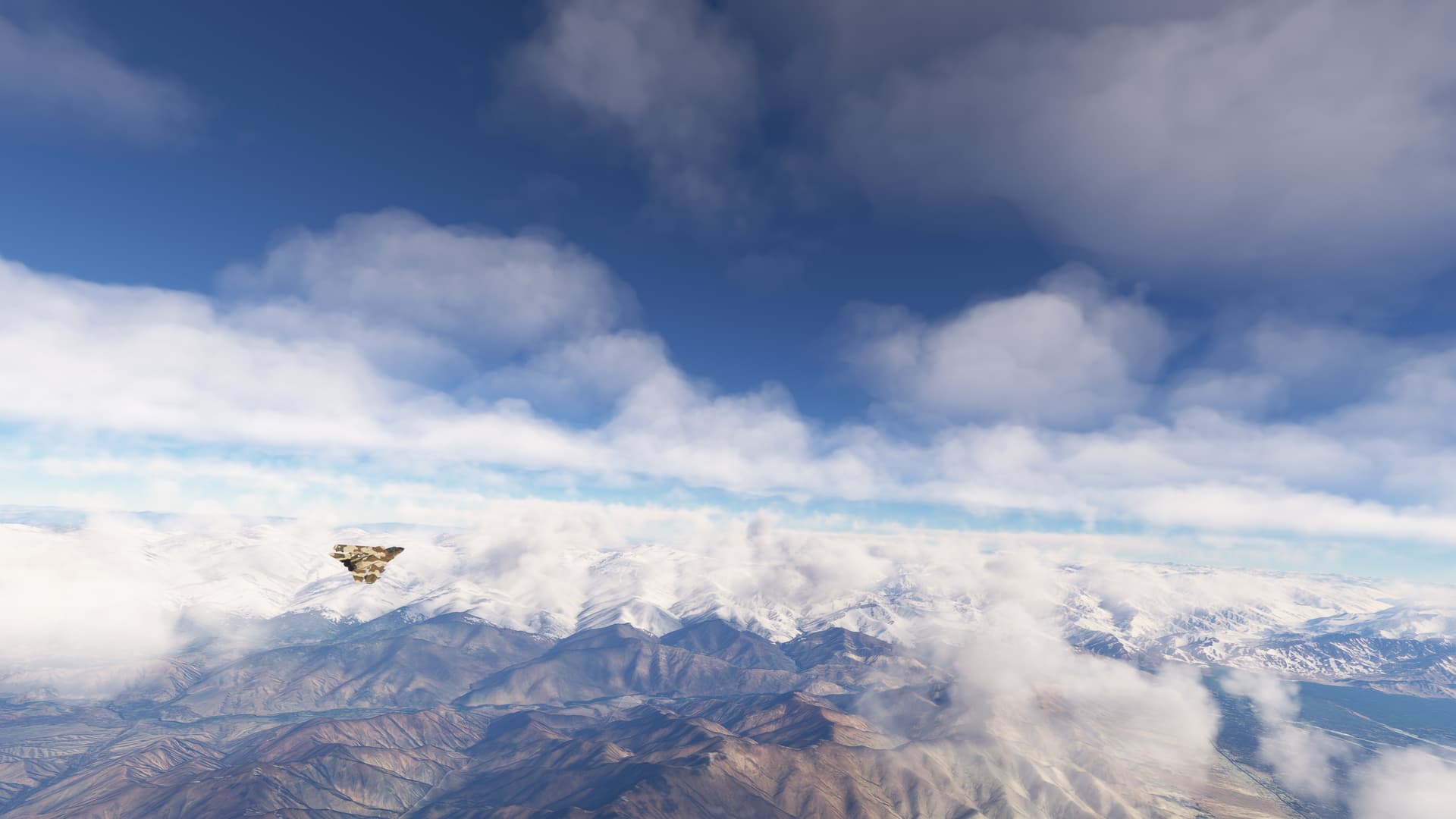
“Hindu Kush” is often translated as “Killer of Hindus” , with peaks soaring above 20000 feet, the mountains are characterized by steep slopes, deep valleys, and glaciers, creating a dramatic and awe-inspiring scenery.
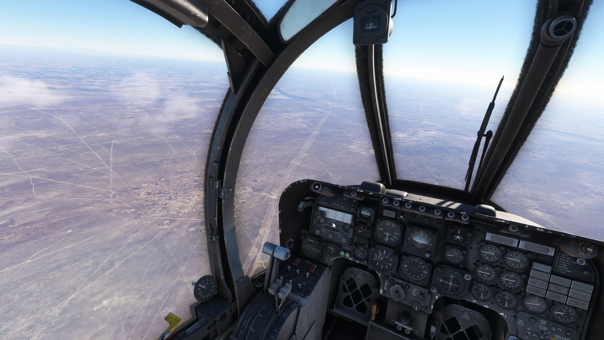
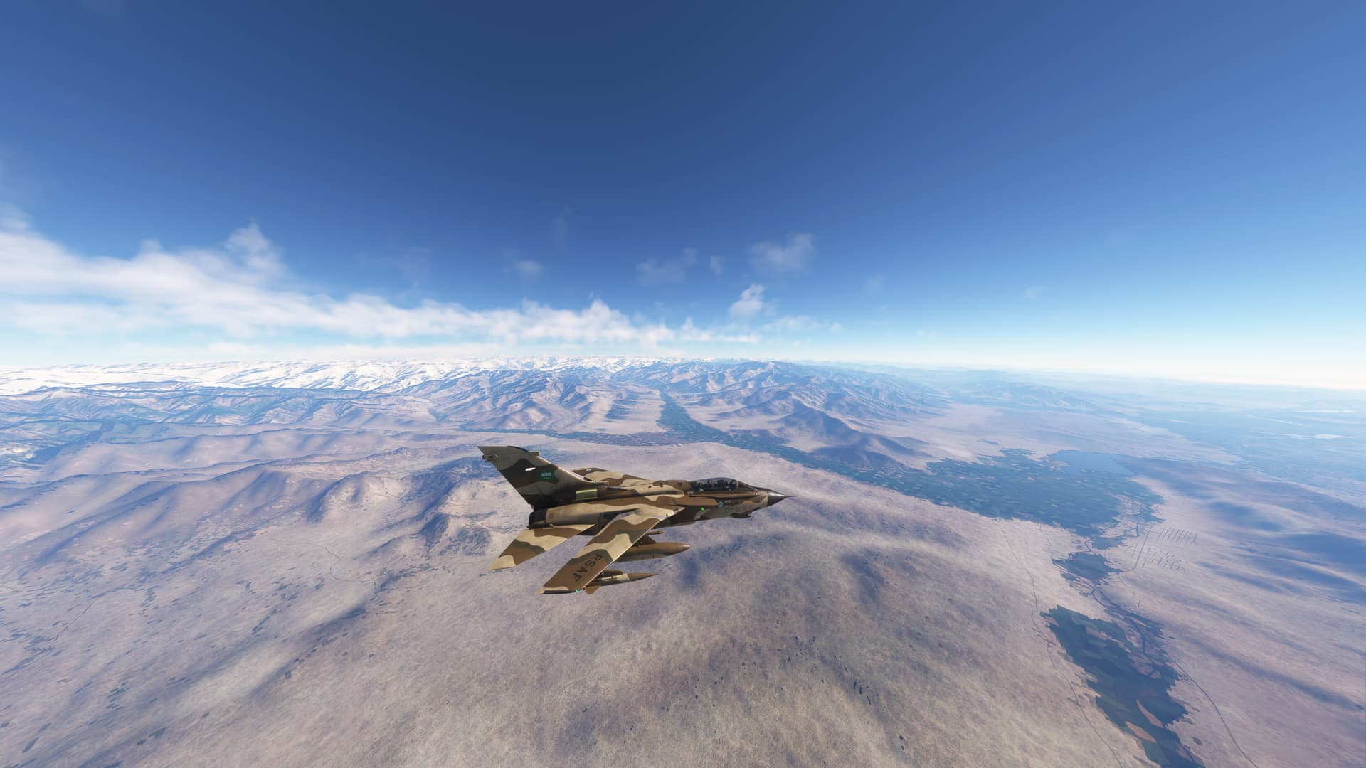
Flew crossing the range heading south until depression of Dasht-e Nawar, situated at an elevation of approximately 9000 feet above sea level, The plateau is surrounded by mountain ranges of volcanic origin, and lake borders have archeological interest
Now turned east flying over the city Charikar and Golbahar, set in a fertile valley created by waters from the mountains. Now is time for preparing our Tornado for landing at Jalalabad
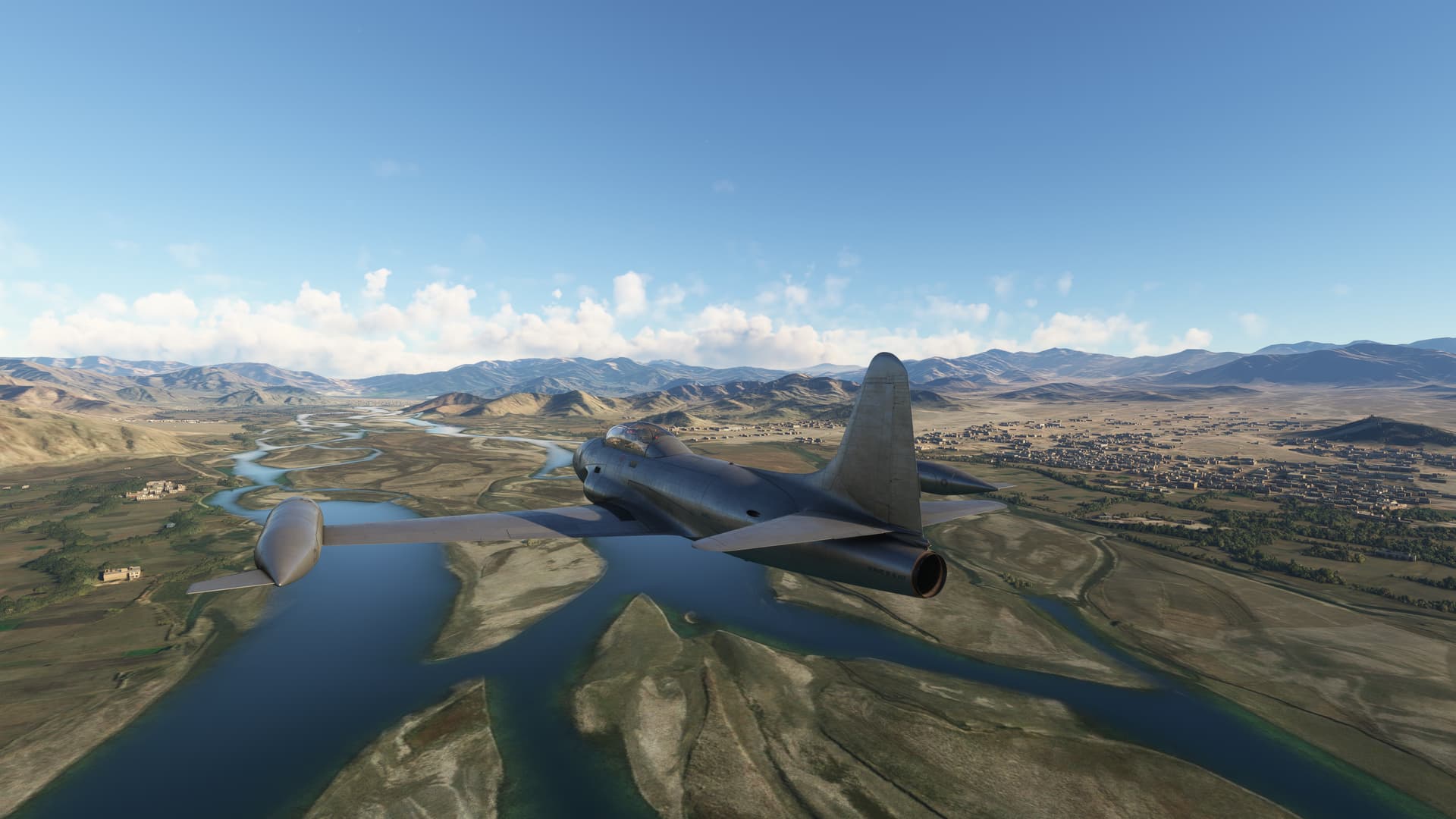
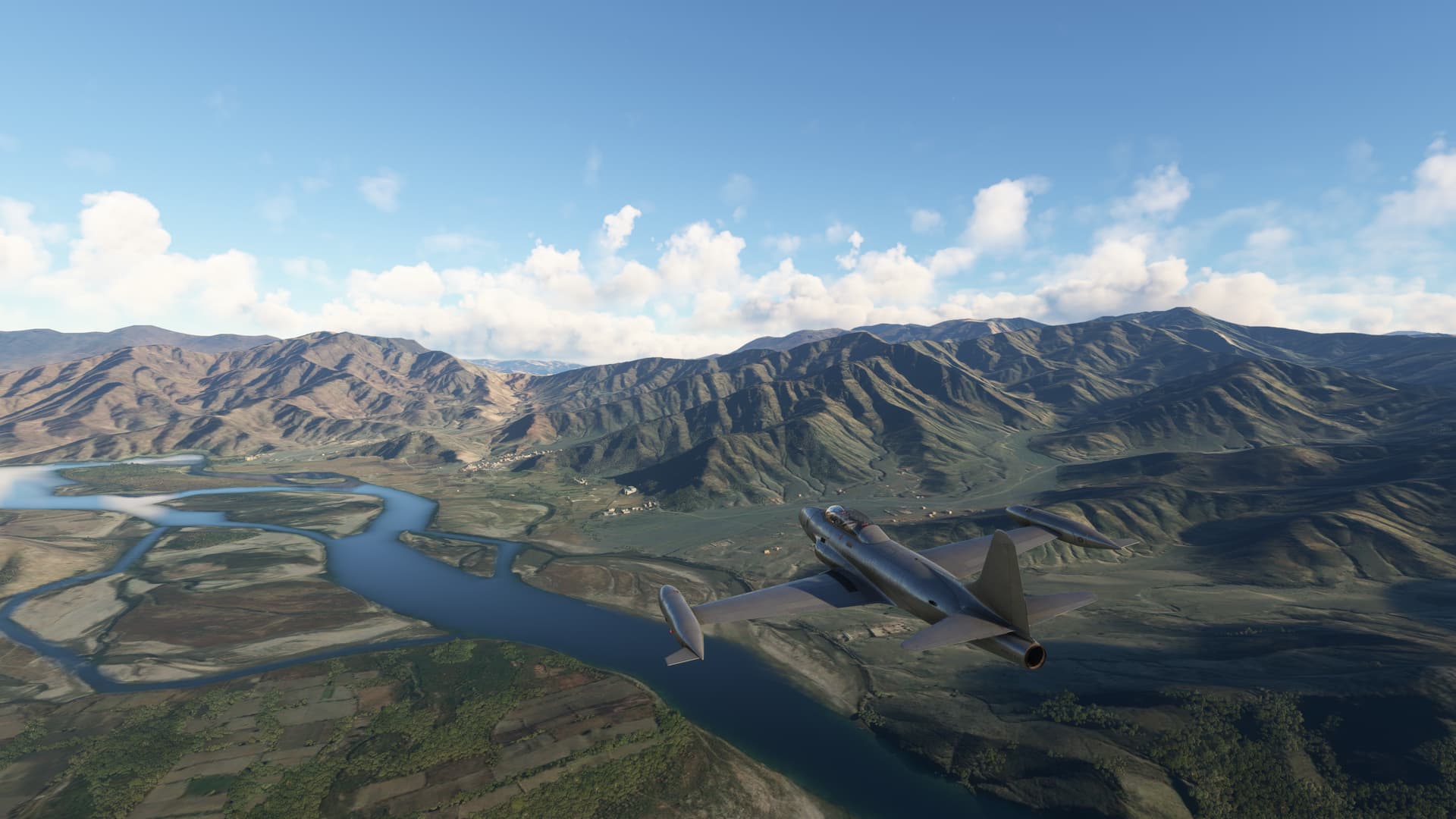
From Jalalabad (OAJL) to Mianwali (OPMI)
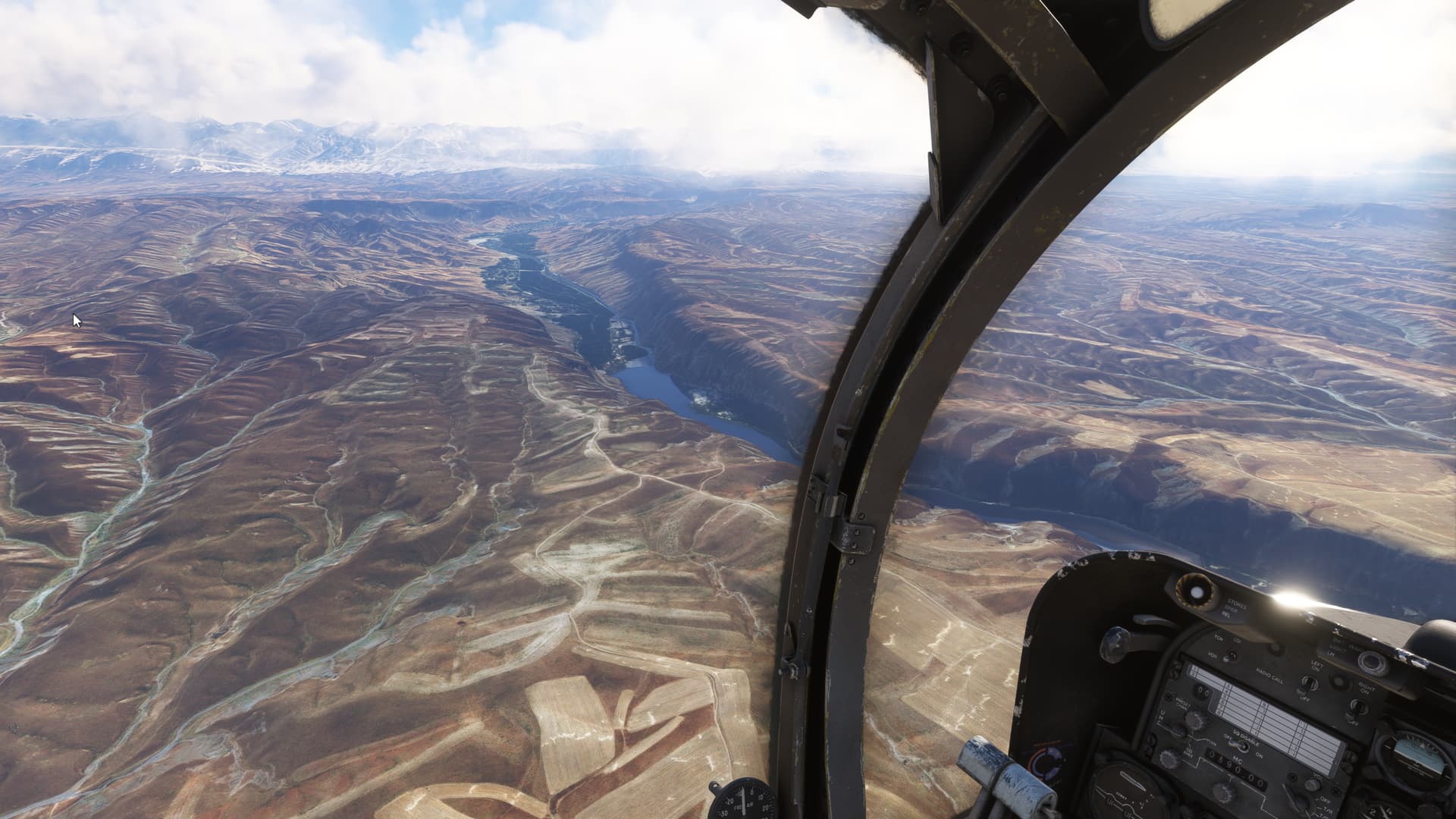
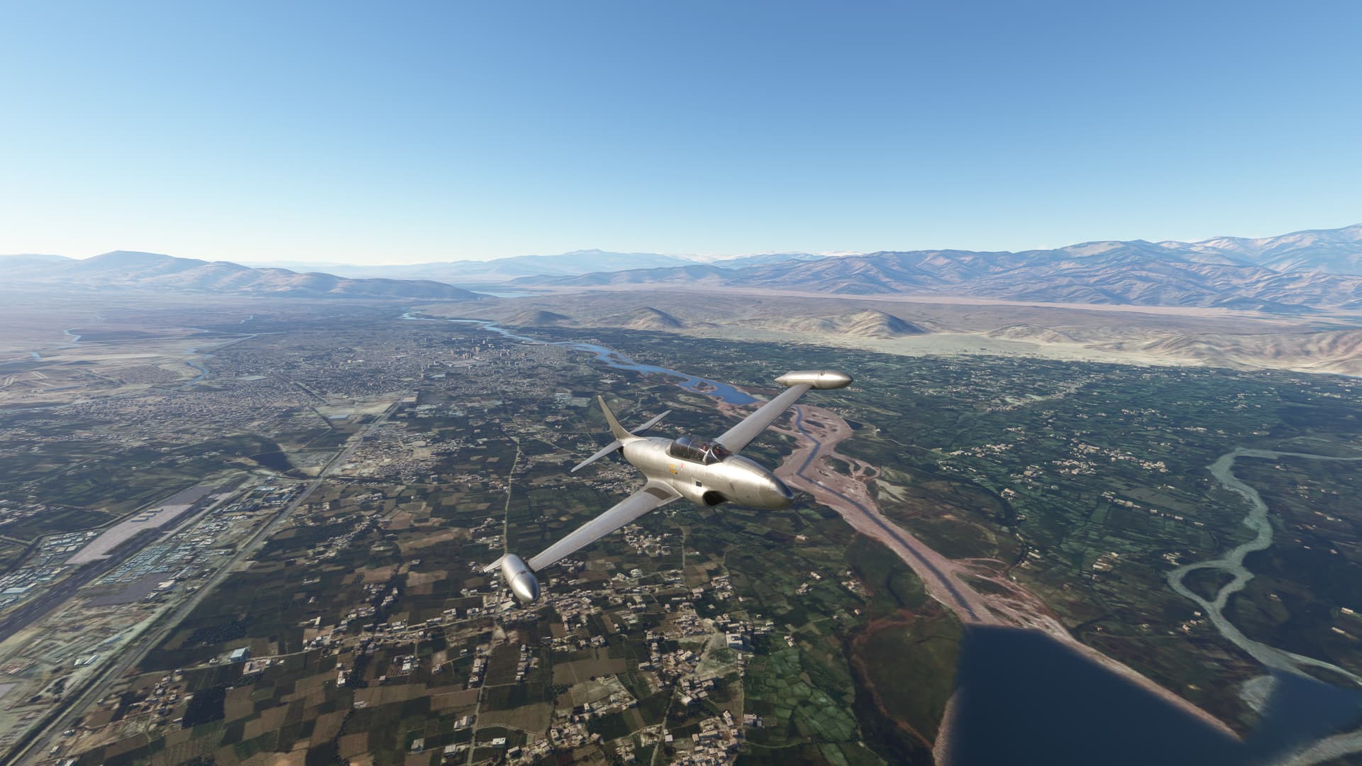
The Kabul River, a significant watercourse in Afghanistan and Pakistan, is an essential geographical and cultural feature in the region. Originating at the Hindu Kush, where the melting snow and glacial runoff contribute to its flow the river stretches approximately 700 kilometers (435 miles) before merging with the Indus River in Pakistan.
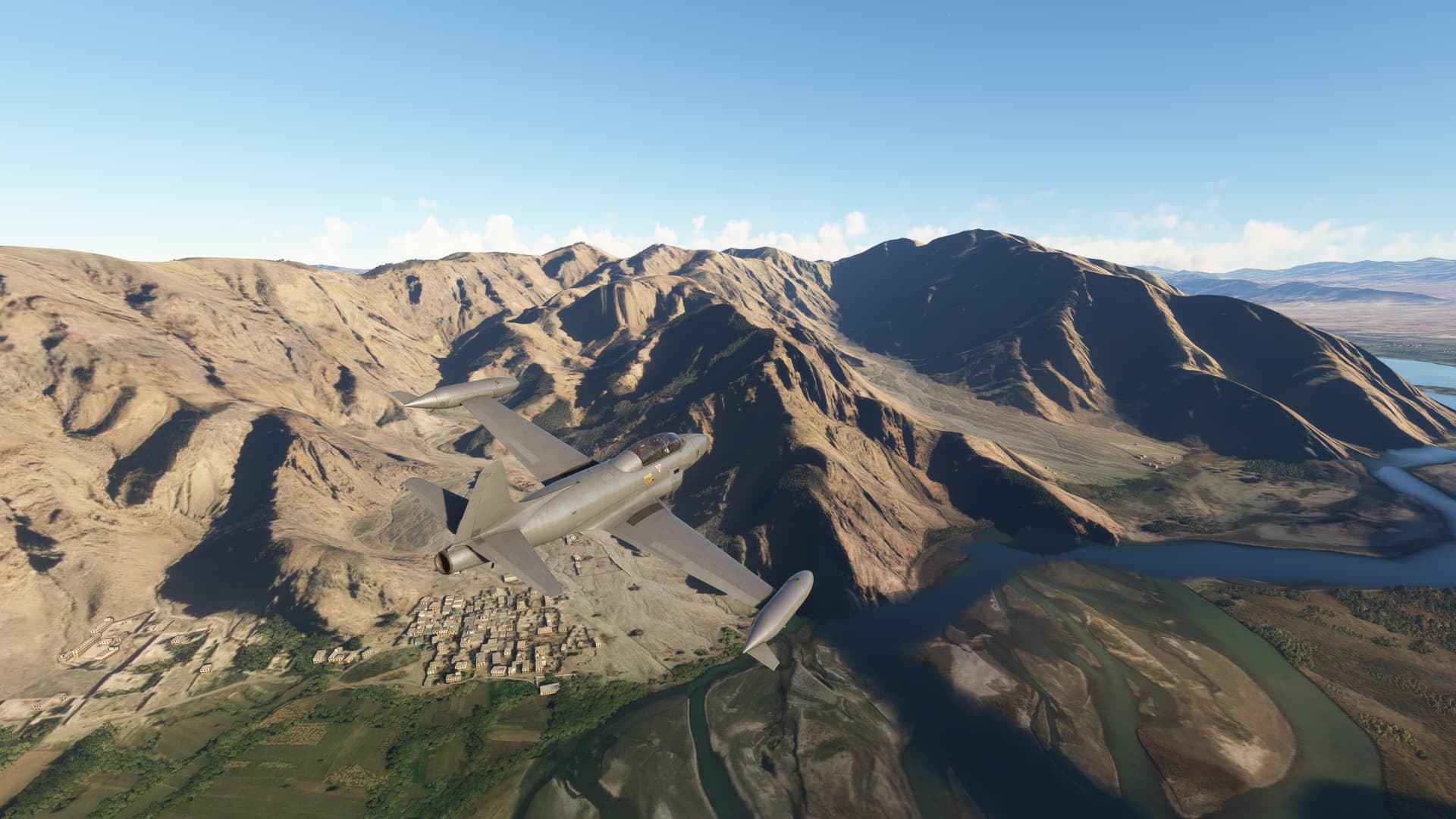
We join the river in Jalalabad; after the city, the river crosses a plain dotted with isolated mountains that the river must avoid by winding around them, making it an ideal area for training in the T33.
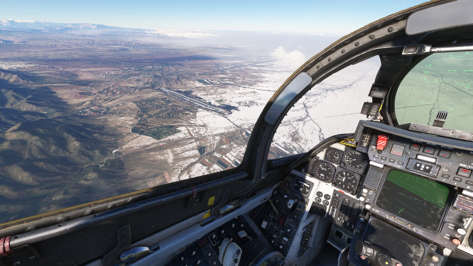
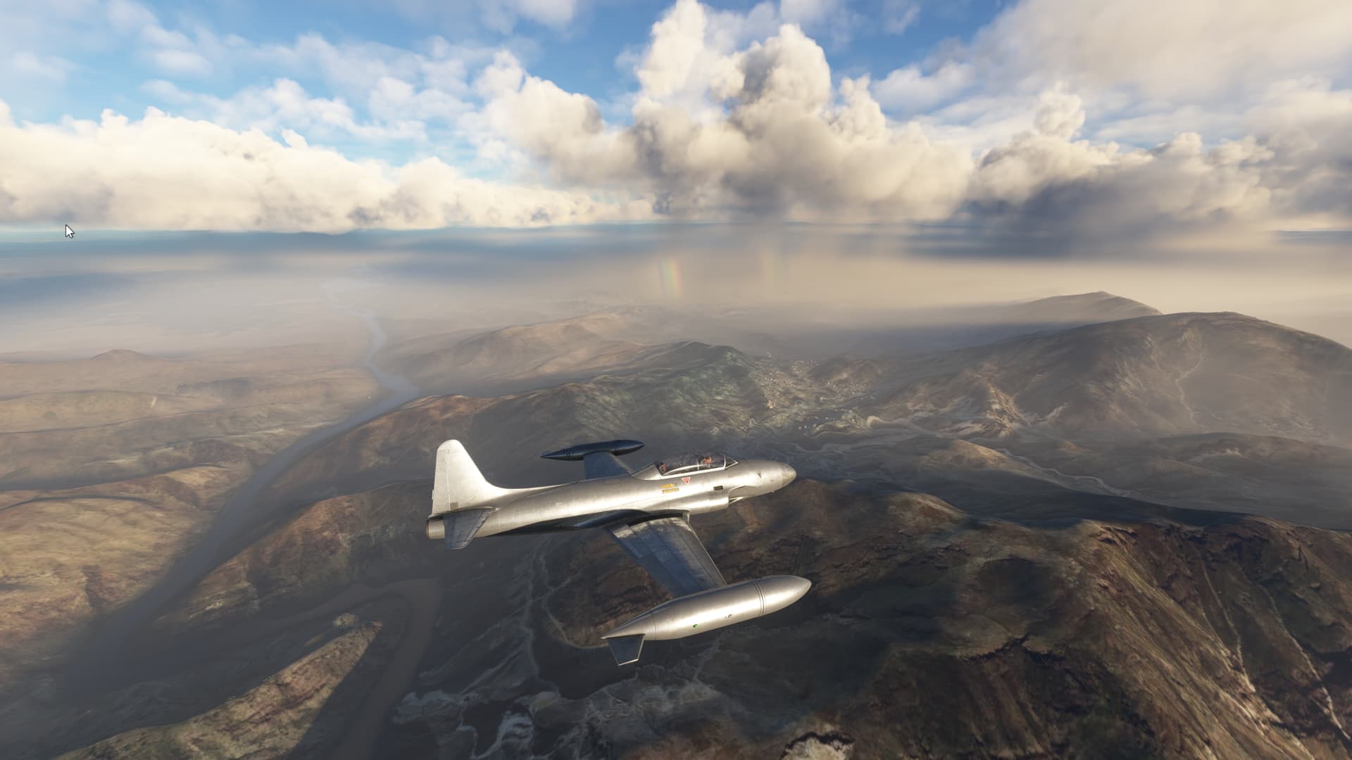
On its way towards the meeting with the Indus, it crosses the White Mountains very close to the Khyber Pass, which has served for centuries as the communication and conquest route between Pakistan and Afghanistan. The storm that we encountered over the White Mountains does not allow us to enjoy the area but offers us beautiful images.
Finally, the Kabul River flows into the Indus River in the city of Attock, near flew over the Ghazi-Barotha Hydropower Project. The World Bank classed it “A” for adequate attention to environmental and social issues.
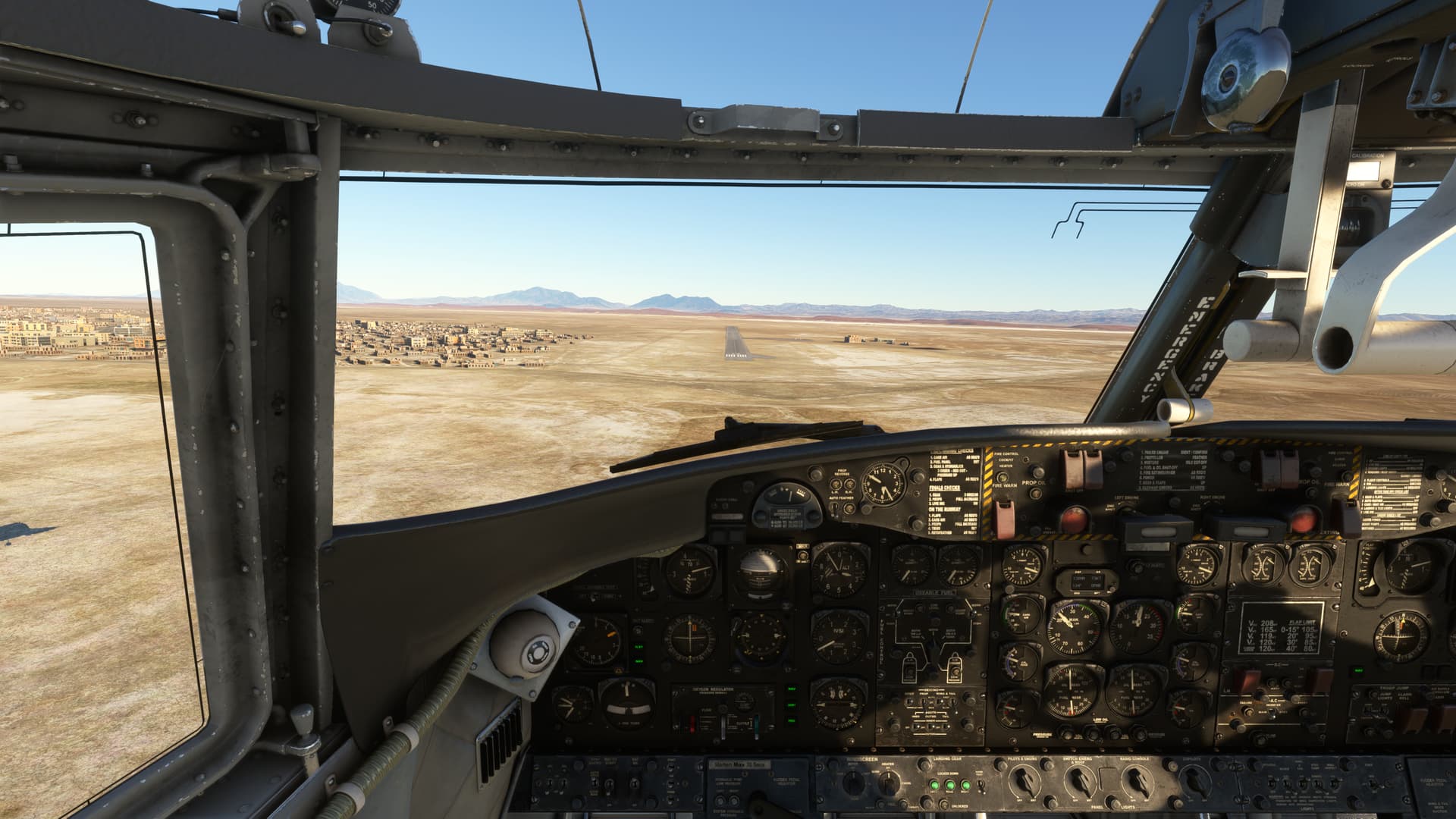
Landed at Mianwali where will follow Indus river story.
1 Like
From Mianwali (OPMI) to Sheikh Zayed (OPRK)
We took off from Mianwali visiting the Chasma Barrage on the Indus River, one of the many hydraulic infrastructures along the river and a Wildlife Sanctuary
Heading east to find one of the tributaries on the left side, the Jhelum, which we accompany for a while until it joins the waters of the Chenab.
We return to the west to follow the course of the Indus until it receives the waters of the Sutlej, Ravi and Beas. The plain is named after this geographical feature, Punjab (Five Rivers).
From here the river increases the size of its course and its waters are used to maintain one of the most important agricultural areas in the world.
The management of these rivers is regulated by The Indus Water Treaty of 1960 a landmark agreement between India and Pakistan, brokered by the World Bank, This agreement has been hailed as one of the most successful water-sharing pacts in the world, providing a framework for cooperation and conflict resolution between the two nations despite their broader geopolitical tensions.
Landed at Sheikh Zayed international named after Zayed bin Sultan Al Nahyan, who support the construction of the airport and the road to his palace in Rahim Yar Khan
From Sheik Zayed (OPRK) to Dalbandin (OPDB)
We leave Indus valley to visit the Balochistan region, one of the largest regions in Pakistan, but the least populated, and with a landscape that contrasts with the fertility of the Indus Valley.
The central area is occupied by deserts of extreme dryness in which the lack of rain is accompanied by intense gales of sand. The mountains alternate with flat areas into which rainwater and snow drain from the highest peaks
Rainwater from the area drains internally and forms seasonal lakes that are known as Hamuns, one of the most important in Pakistan is the Hamun e Lora.
Flying in these extreme areas always leaves me with the feeling of an unreal world that should belong more to an adventure novel than to the real world.
Aterrizamos en Dalbandin city, headquarters of Chagai district
From Dalbandin (OPDB) to Karachi (OPKC)
We will cross the south of the province of Balochistan.
After taking off from Dalbandin we cross a sandy desert and then cross a series of mountains separated by valleys that extend until we reach the Arabian Sea.
From the air you can clearly see the water currents that end up disappearing from the mountains in the intermediate valleys.
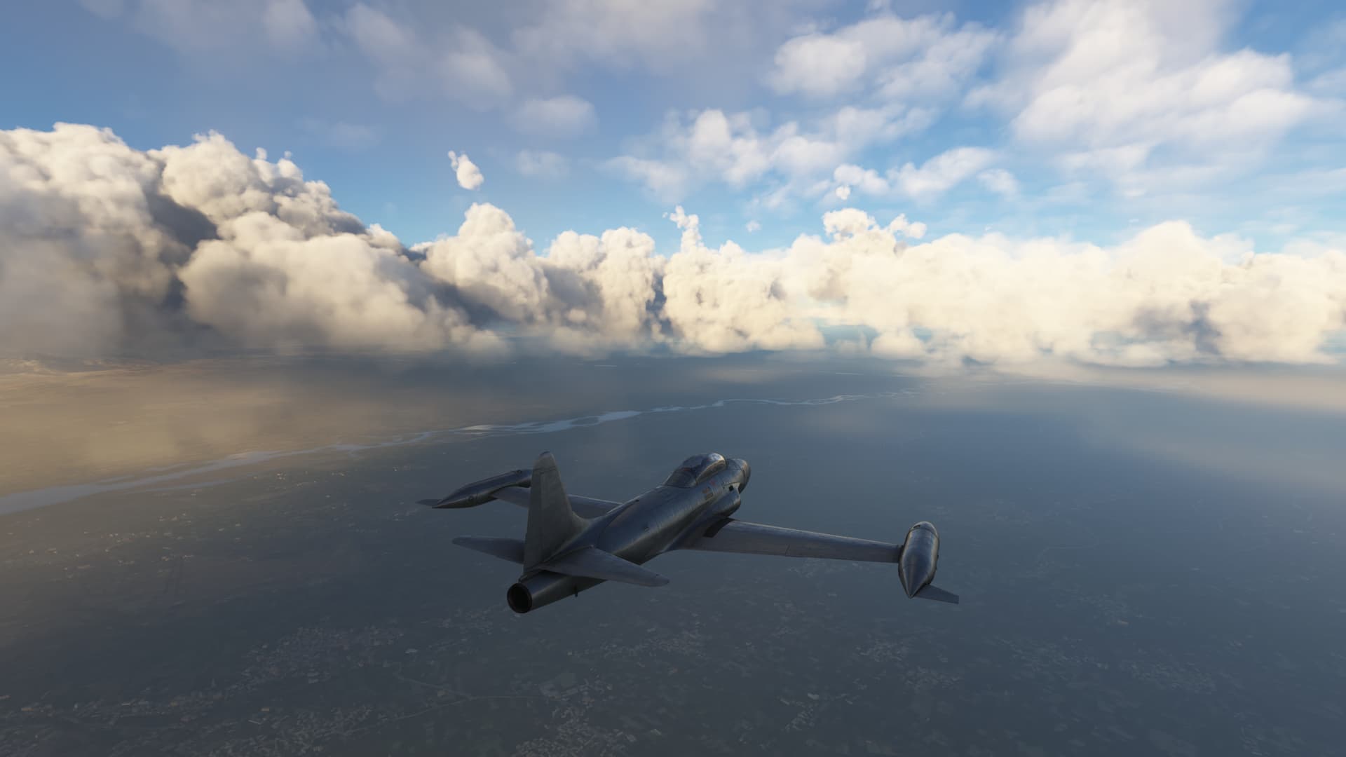
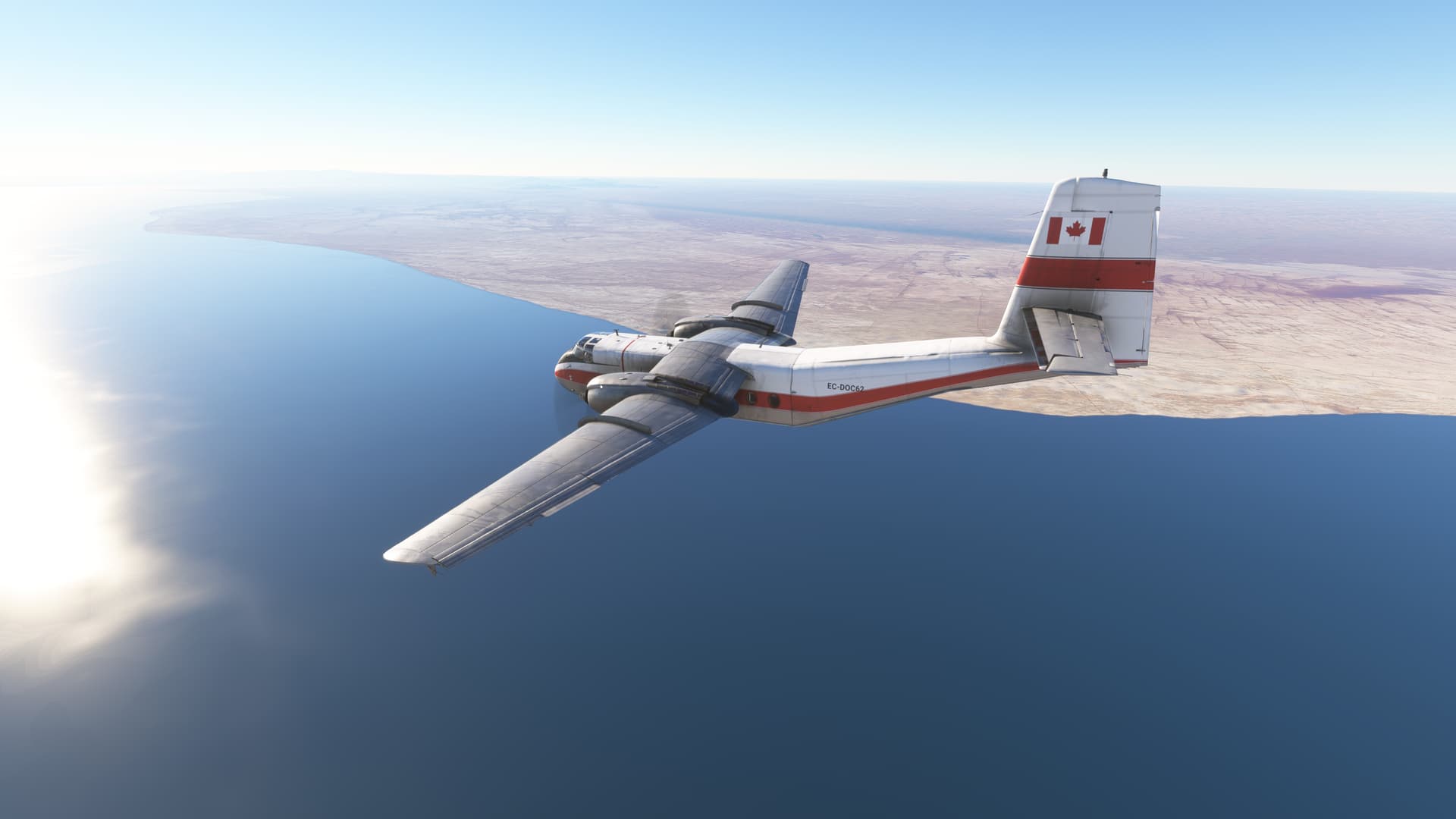
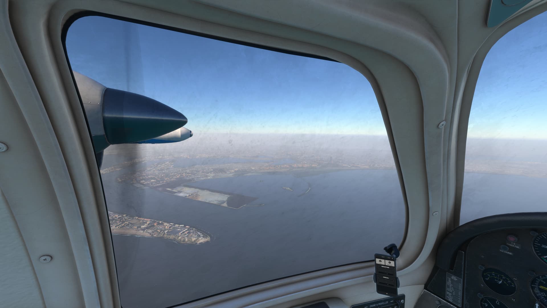
In the end we arrive at the coast of the Arabian Sea, this sea is characterized by being one of the seas with the lowest oxygen content in the world. We go deep into the coast to land in the city of Karachi covered in a persistent fog or sandstorm.