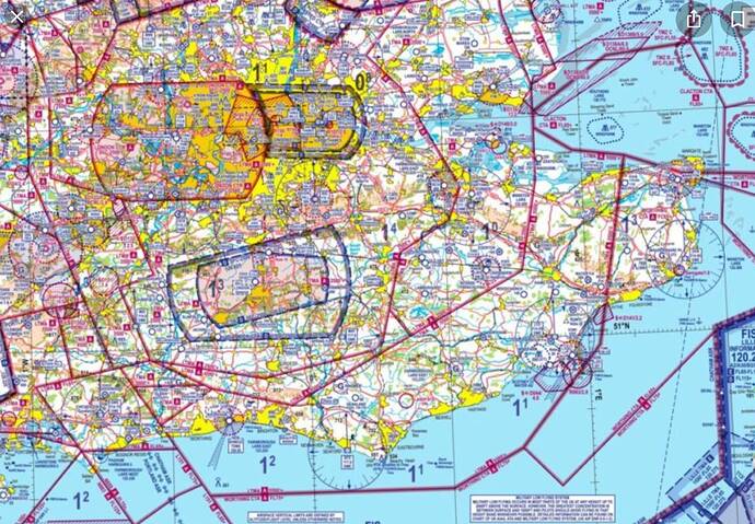
Hi there, What are these blue, purple and yellow lines around the airports that I find?
those are airspaces with mostly different frequencies to hand-off
So why the different colors? and when you say “frequencies to hand-off” what do you mean please?
yellow area means high density area of buildings if im right, not sure about blue line/area
hand off means you need to contact the controller responsible for traffic in the zone you are entering and report your specific information (such as altitude).
There is lots of information on line about these zones (and related flight charts):
Thank you all for the information
It’s actually a good question on the colors. I wouldn’t think the included VFR Map is any official representation of the true airspace yet as others have noted, the Blue here almost always represents controlled airspace, typically around busy airports.
When I pull up the LFPO area in ForeFlight - Uses actual navigation data - The purple and yellow boxes indicate restricted airspace.
This topic was automatically closed 30 days after the last reply. New replies are no longer allowed.

