What did you do in MSFS today? (Part 1)

Downloading from MS store where I bought it.

I know how to install software from there I have multiple games from the MS store on my PC no problem. (Forza, Medium, Minecraft etc.)

I have a 1TB SSD reserved espacially for Flight simulator. (Prepar3D in the past)

My internet connection is really fast, about 30-50 MB (thats large B not bits) ps on steam.

I have a i7 10700k all cores at 5.1GHz water cooled, 32GB of RAM 3600MHz and a RTX 2080 super.

enough info?

Restarted my flight 3 times after CTDs, then gave up.

The usual. 20% flying and 80% troubleshooting

Finished all the tweaks testing and I can finally enjoy this sim (at least till next update :smile: )


Practiced doing a VFR flight by visual reference with no flight plan loaded in the G1000, using the GPS maps only for secondary reference.

I drove the autopilot in heading mode, mostly cruising at 8,500. Used the Cessna 172 as a stand-in for a light sport aircraft, with flight planning constrained for a hypothetical sport pilot without the radio/ATC endorsement, thus having to stay under 10,000 feet and outside of controlled airspace.

From Corona KAJO (southeast) to New Coalinga C80 (northwest):

To get around KONT class C and KLAX class B airspaces, had to climb to 6500 so could pass over KONT and KBUR while passing under the farthest parts of KLAX…

Heading away from Ontario toward LA:

Passing downtown LA:

Able to climb to 8500 by here, out of the way of KLAX airspace.

Passed Burbank:

Coming up on the Central Valley following I-5 over the “grapevine”:

Following a bit west of I-5 up the side of the valley:

Descended to 4500 to avoid accidentally straying into a military operations area that runs above 5000.

Getting close to Coalinga and our rest/fuel stop:

Next leg: continuing on to Marin County or Petaluma in the Bay Area, circling carefully around the KSFO class B airspace and KOAK class C.

Flew across Denmark from Esbjerg in the west to Copenhagen in the East.

Some anomalies in the WU5 scenery. The water submerged the Storebælsbro and the harbors.., but the airports looked great.

5h29m flight from Lihue, HI (PHLI) to Scottsdale, AZ (KSDL) in the Longitude, with a landing runway change on approach due to shifting winds. Lots of fun! YT link to approach and landing video:

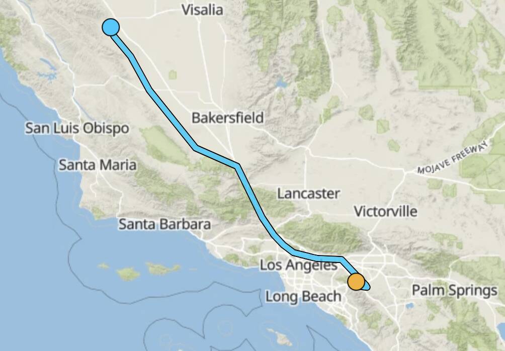
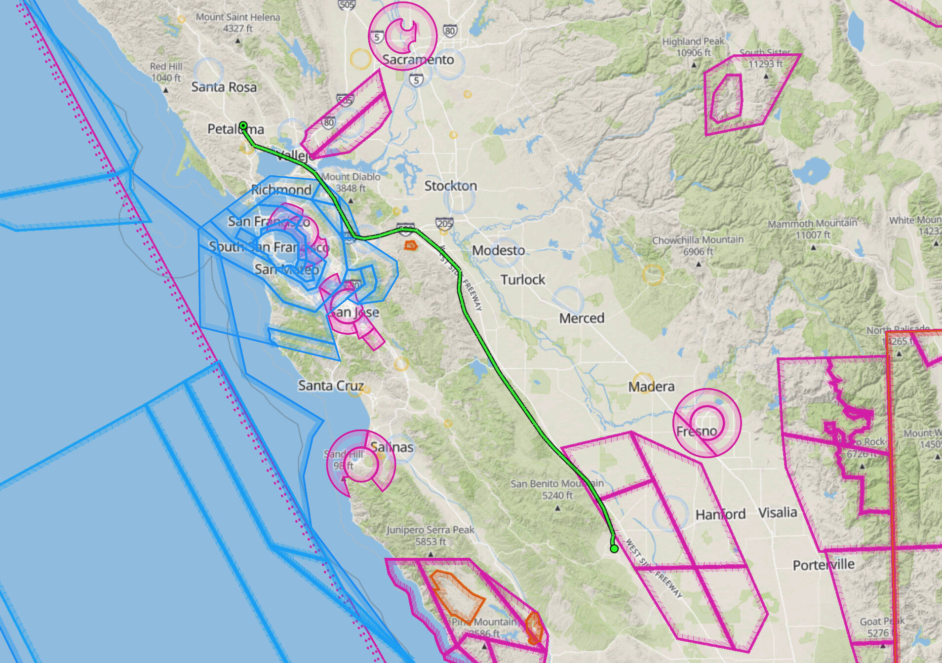
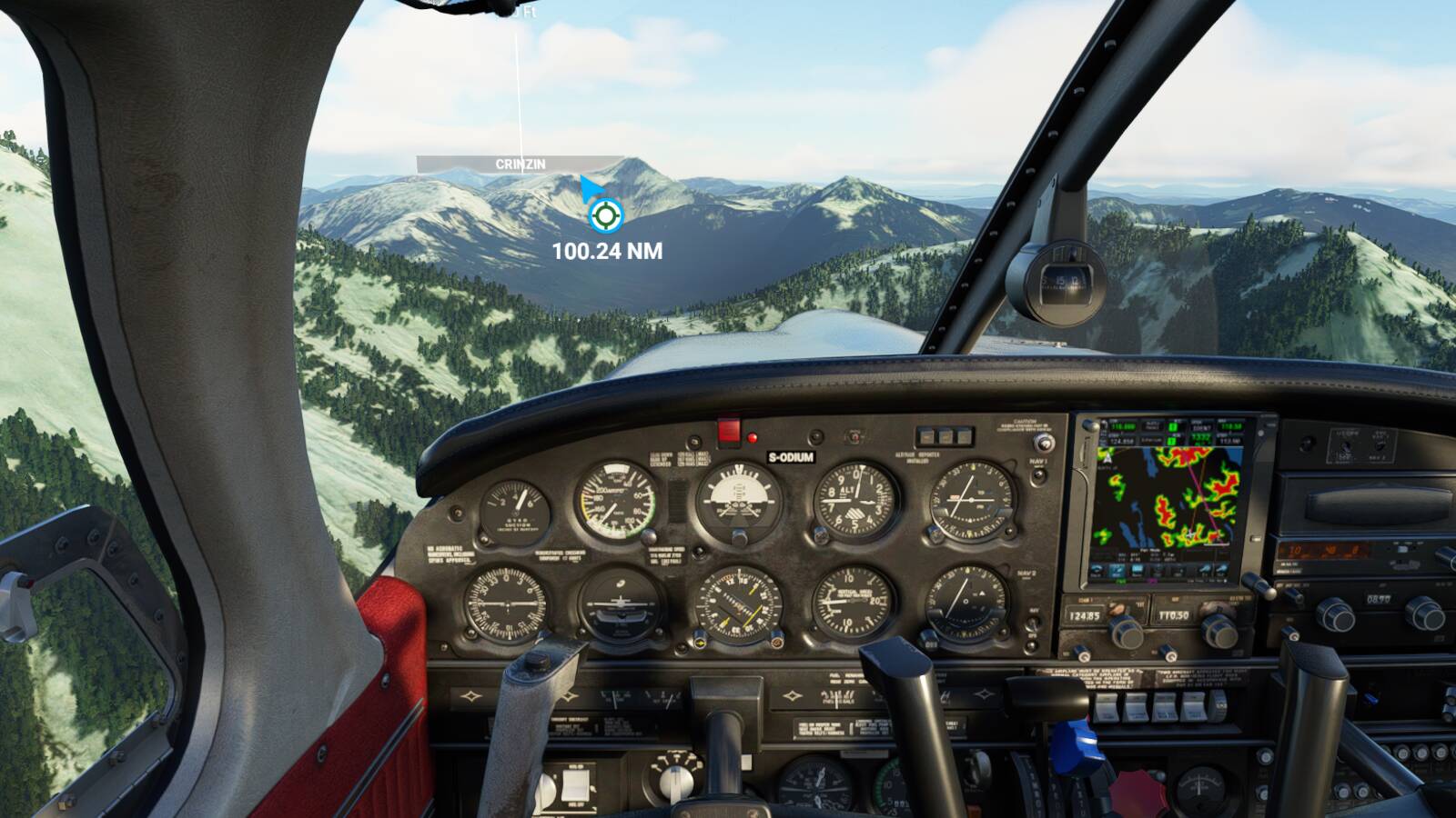
Next leg, from New Coalinga (C80) in California’s Central Valley to Petaluma (O69) in the North Bay, skirting around/under KSFO’s large class B airspace. Done under VFR following the sport pilot limitations of staying under 10,000 feet and out of controlled airspace; though the Cessna 172 is too big and heavy to be flown by the hypothetical pilot, it’s a good stand-in and has a modern autopilot, like a lot of high-end light sport aircraft do. (The Pipistrel Virus is also good for this kind of trip, with a different Garmin system. With the constant-speed prop I don’t think it qualifies as LSA in the US though? Not sure.)

Anyway, the trip! This mostly follows I-5 along the western edge of the Central Valley, then at Tracy where the highway splits the pilot has to choose between going west or east of Mt Diablo. I took the western route through Livermore and Concord, which requires descending to stay under KSFO’s outer airspace rings.

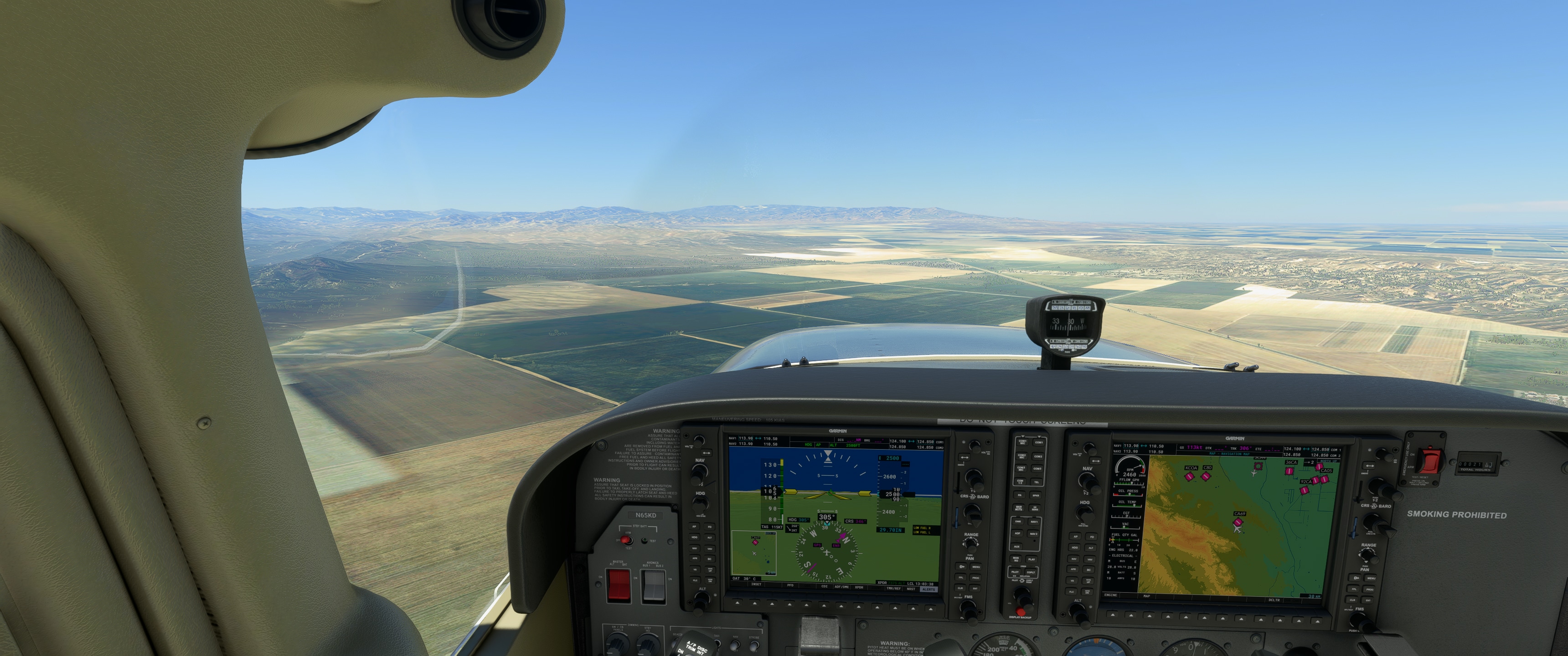
Leaving from New Coalinga in the morning. (This apparently replaces the old Coalinga airport; they gave it a new name and code and everything.) Stay under 4500 feet for a while in case you wander under a military operations zone…

This is pretty much the same view you get driving on I-5, but more of it:

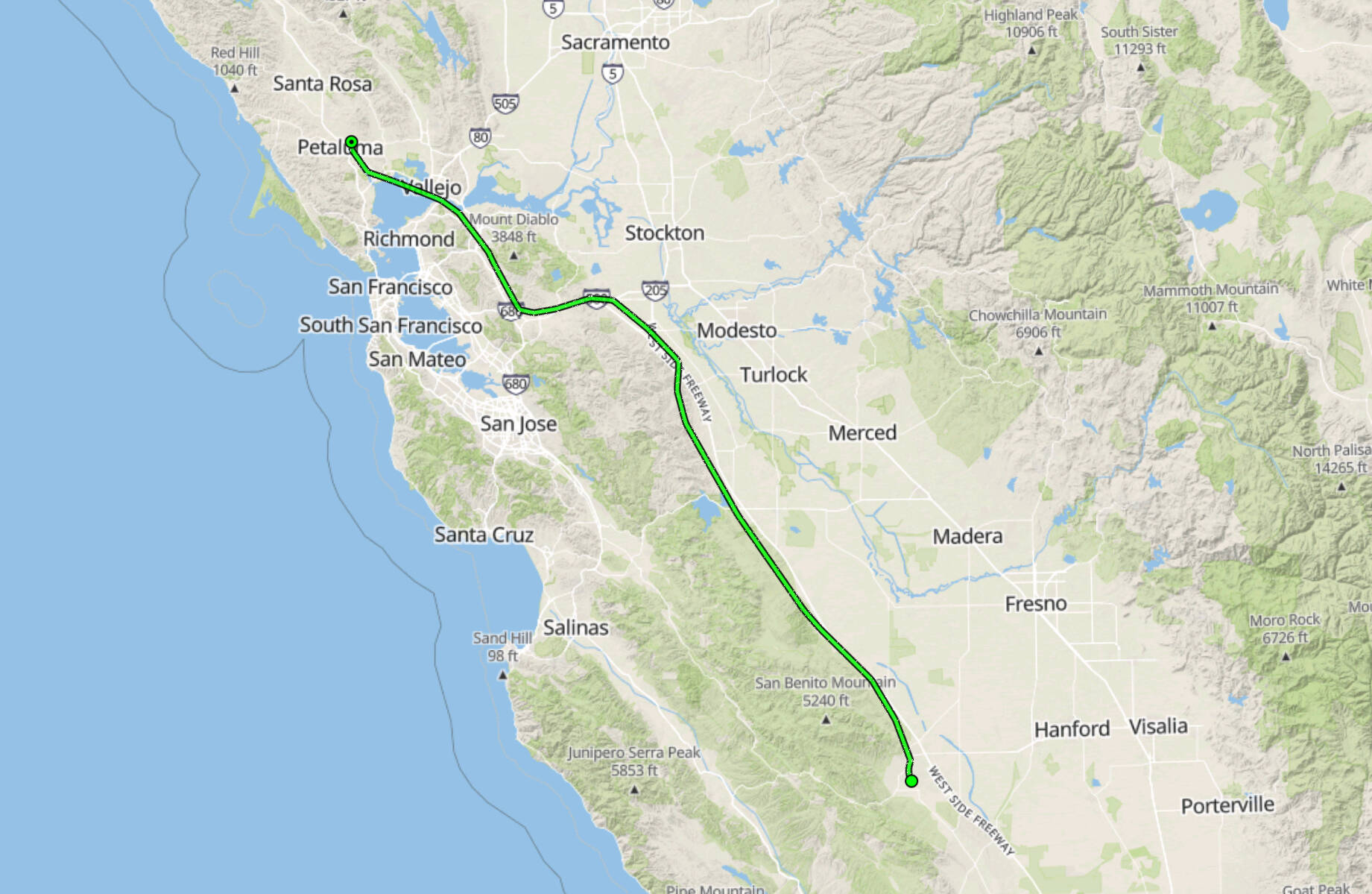
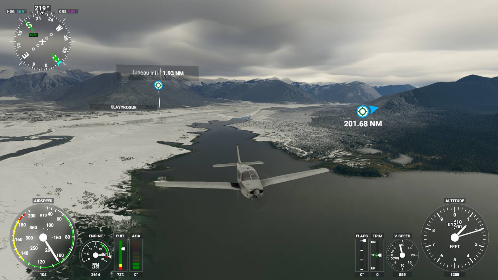
Finally we come up on Tracy. If Petaluma or Marin are fogged in, land here as an alternate. Otherwise, turn either north or west to start going around Mt Diablo and related hills:

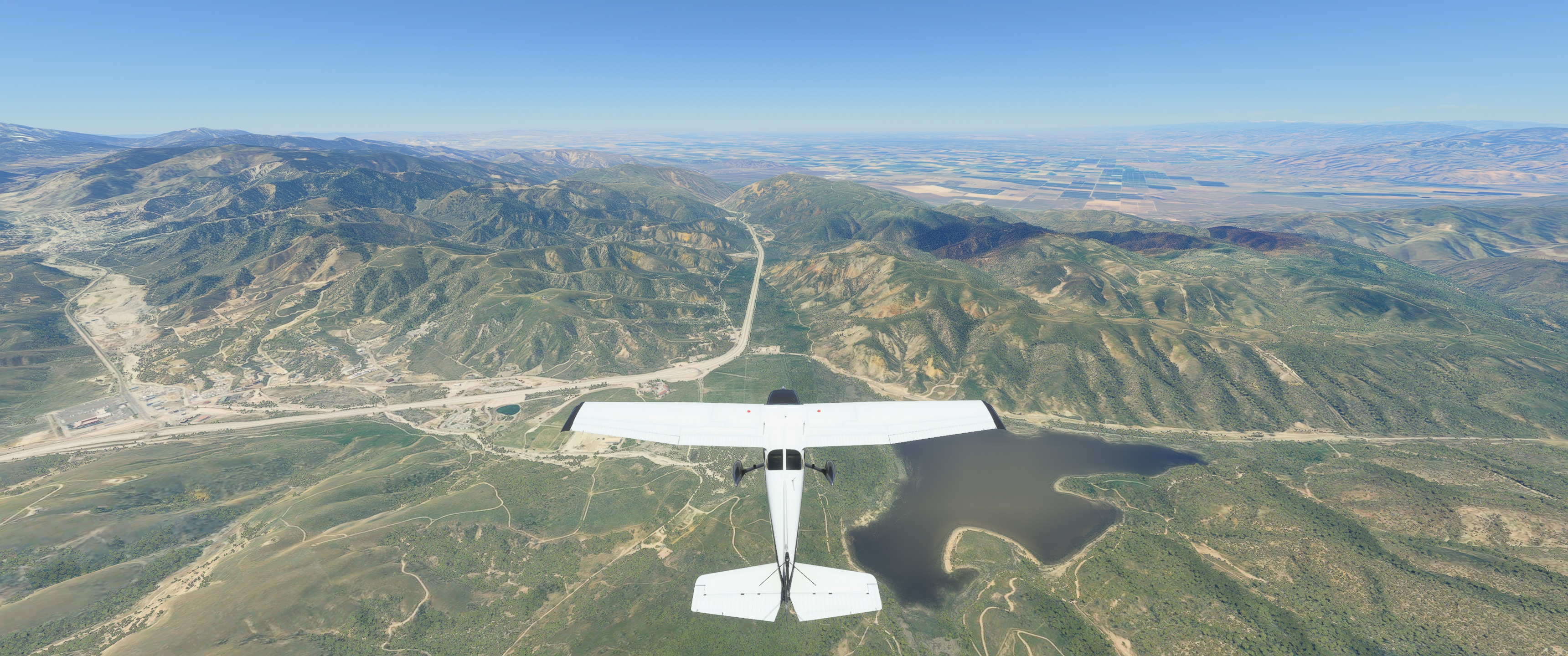
I took the west route via Livermore; start descent to 4500 feet to stay below the outer rings of KSFO’s airspace… Wind farm along I-580 between Tracy and Livermore:

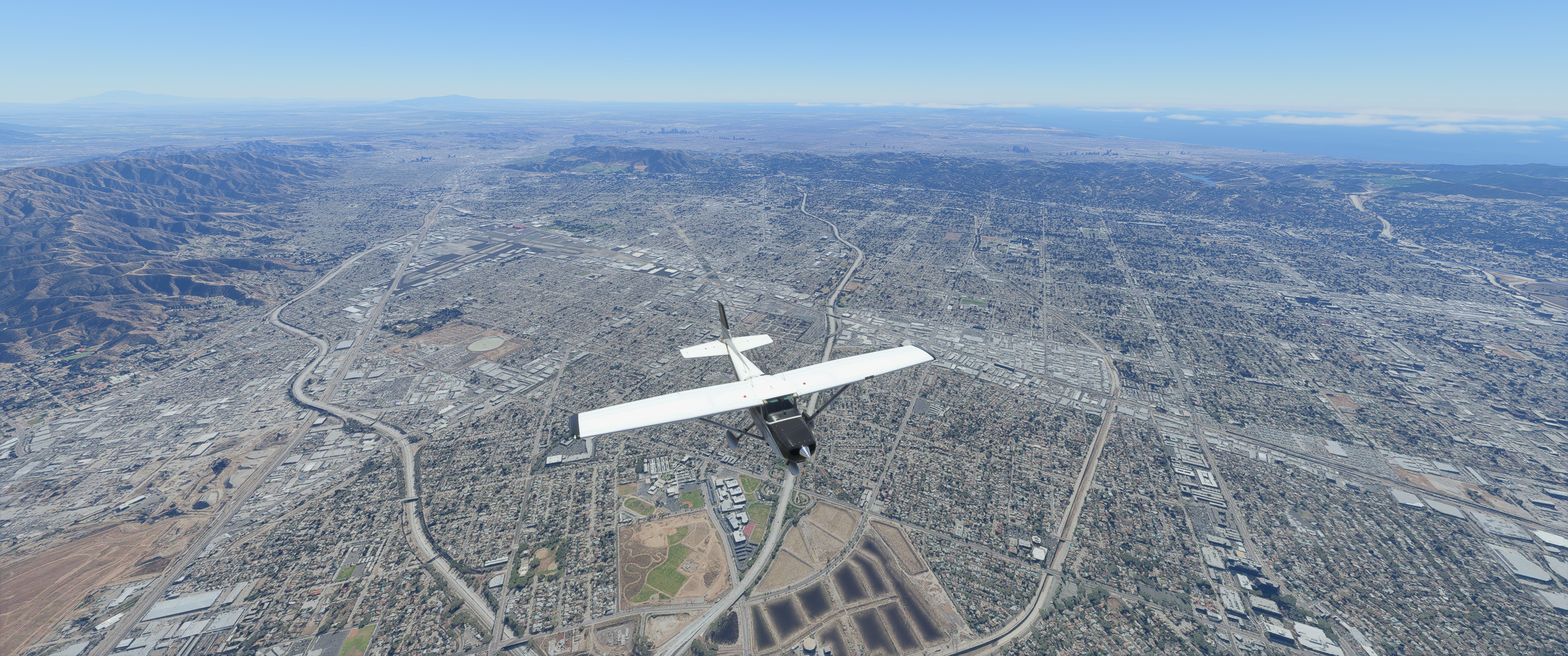
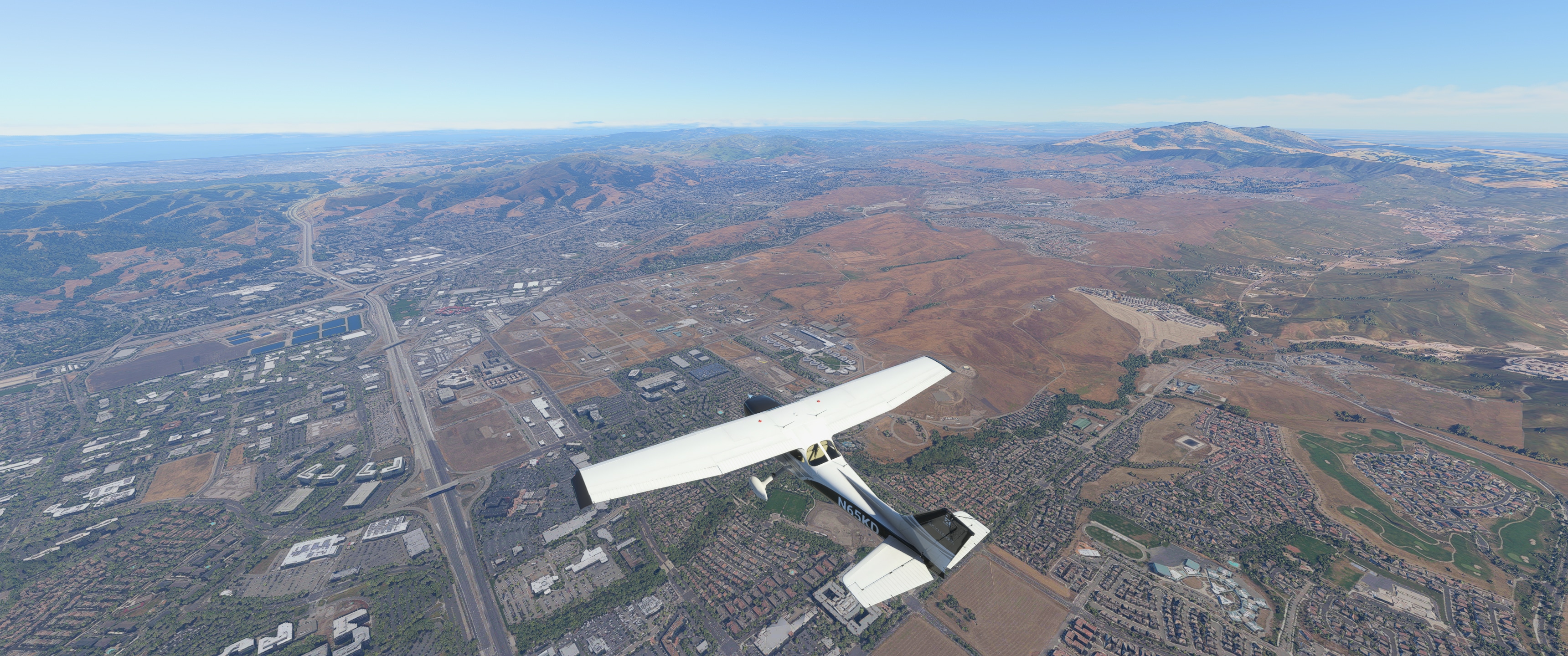
Before reaching Dublin, turn north to follow I-680, otherwise the KSFO airspace drops below where we are! This’ll take us to the west of Mt Diablo:

Mt Diablo, highest point in the SF Bay Area:

If you zoom in and squint real hard you can see San Francisco! But no buildings render at this distance. :wink:

Benecia-Martinez bridge; as we hit the delta here follow the water westard towards the mouth of the Petaluma river:

Cutting the corner to head up the Petaluma River, passing Marin County Municipal airport – this would be a good spot to land too if weather permits, but it has a reputation for strong crosswinds due to the placement of the runway vs the prevailing winds:

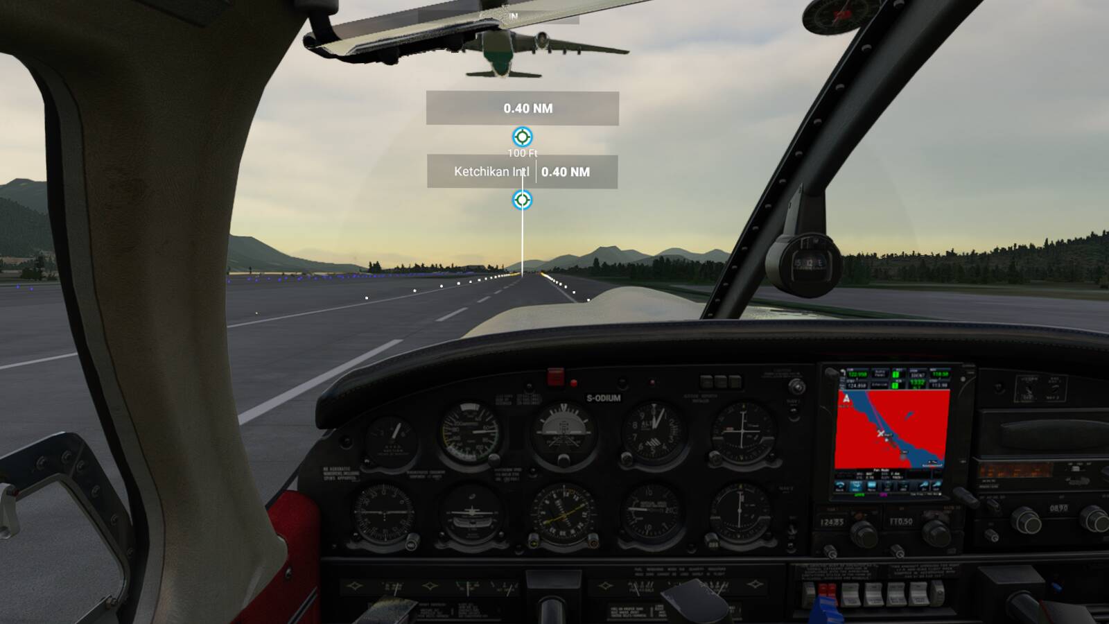
Landing at Petaluma Municipal:

Went pretty well! I’m glad I cut through Livermore to do the pass west of Mt Diablo, as there was some picturesque stuff like the wind farms and more city/hills to see.

Next leg will be from Petaluma to Weed, California (O46) near Mt Shasta, just shy of the Oregon border. Then after that, returning home to the Portland area at Stark’s Twin Oaks (7S3)!

Today we took Jan’s latest DC 6 livery for a Spin.


Touch Down.

Which highway flight plan did you say you were making yourself? I can’t seem to find where you mentioned it. I’m just finishing up one for U.S. Route 2 (Boston to upstate New York) and didn’t want to duplicate something you were doing. I see you mentioned it would be down south, though.

Ah, never mind - it’s MA Route 2 I’m doing. I’d be surprised if you were too. :wink:

Not me! :slightly_smiling_face:

I-40 (complete).

I-95 (complete) - just need to update the screenies for the last few legs.

I’ll look for your trip report!

Took the egg-beater for another practice flight - thanks, LAFD. A lot of practice still needed and I seem quite happy on the medium setting for the Bell 47. KVNY to Sepulveda Dam and back.


Last shot in that groups looks a bit wet for Buckaroo Banzai and crew to do their victory walk…


2 Likes

I always wondered where that final scene was filmed. Thanks.

Ahh, I’m not that good at multitasking. I did the route this morning but not sure the 152 is the best for these kinds of things. It can be hard to see the highway over the engine, so I have to switch to external view more than I’d like.

Finally weather in Scotland is better, so visited few castles. Glamis castle, Blair castle, Balmoral castle (on the picture)


Jonx’ Optica is perfect for pure through the nose flying.

Next leg of my European capitals tour, Andorra to Leictenstein, landing at Samedan-St Moritz as nearest the CJ4 could land at. Wind etc favoured Rw21 but no, ATC insisted on visual approach to 03 then promptly tried to fly me straight into the mountains! Great fun (!) popping out of the clouds to find a towering peak dead ahead! Glad I’d got the seatbelt sign on early as well.

I flew around Bergen yesterday, it’s beautiful! Take a low and slow plane and explore the fjords, for example towards ENSG

From a few days ago. Juneau to Ketchikan in my FSEconomy-leased Piper Arrow.


After arriving (and nearly getting run down by a passenger jet), I had enough time before dark to try out the DCDesigns Stearman for the first time. It seemed to have just the right balance of agility and usability, I didn’t feel like it was trying to kill me like the Pitts Special did, and I loved the creaking sounds warning when I was beginning to pull back too hard. Very fun, and especially good looking at sunset. I wonder if/when someone will release a Red Baron Pizza aerobatic team livery, because that’s always been the first thing I thought of when hearing the name Stearman.