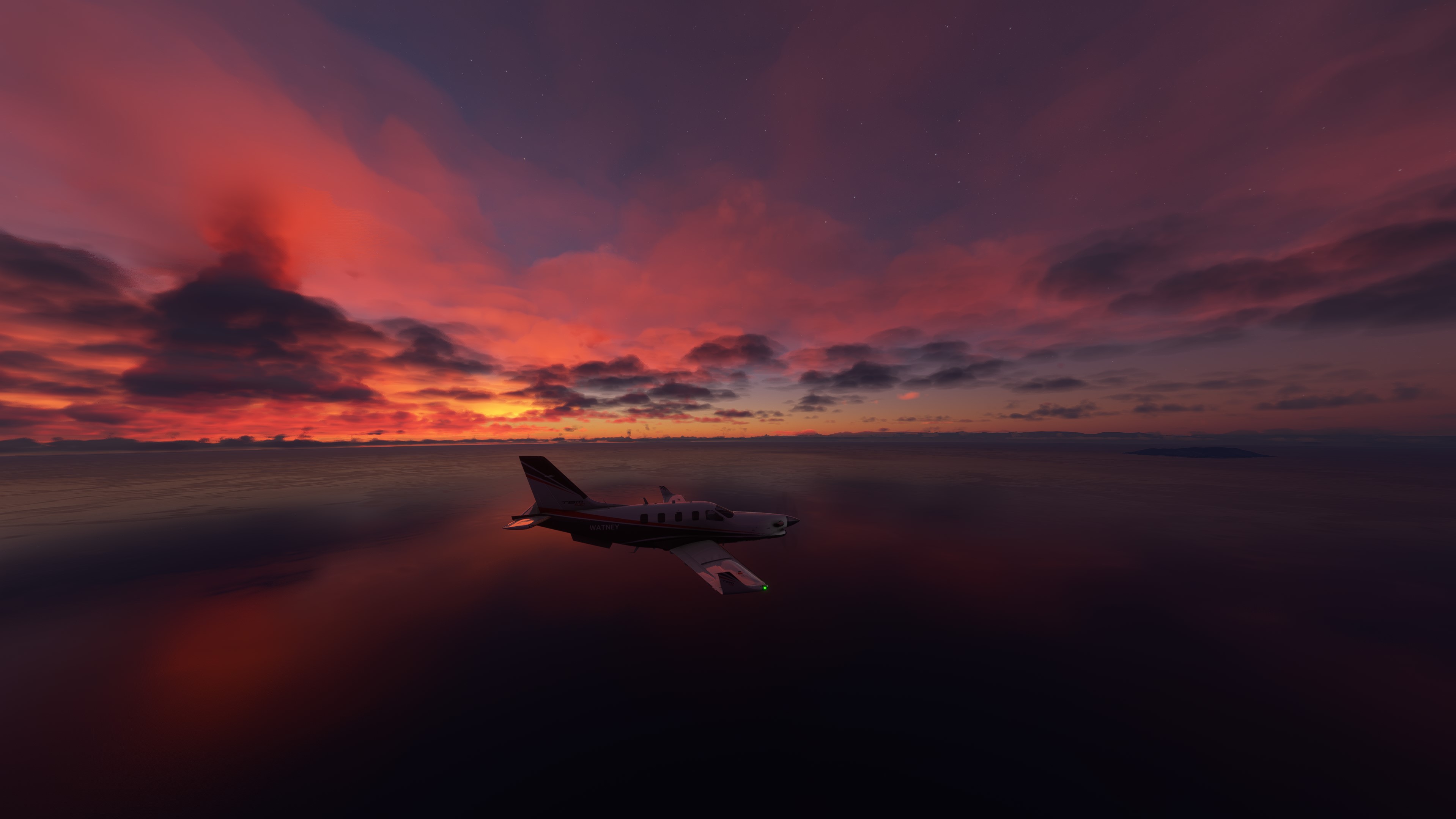
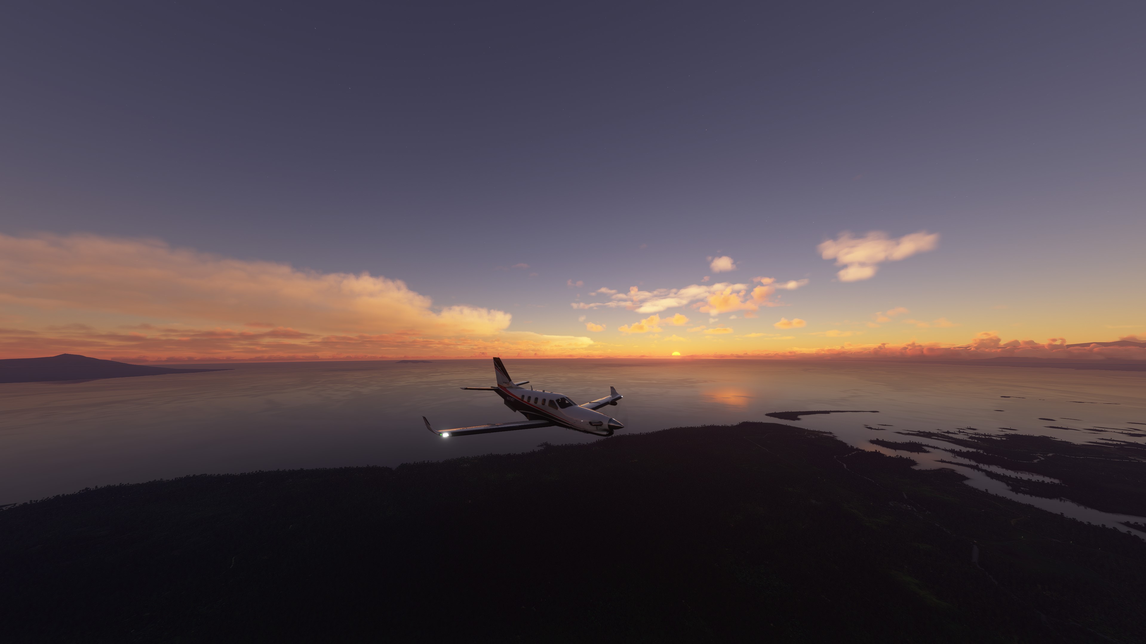
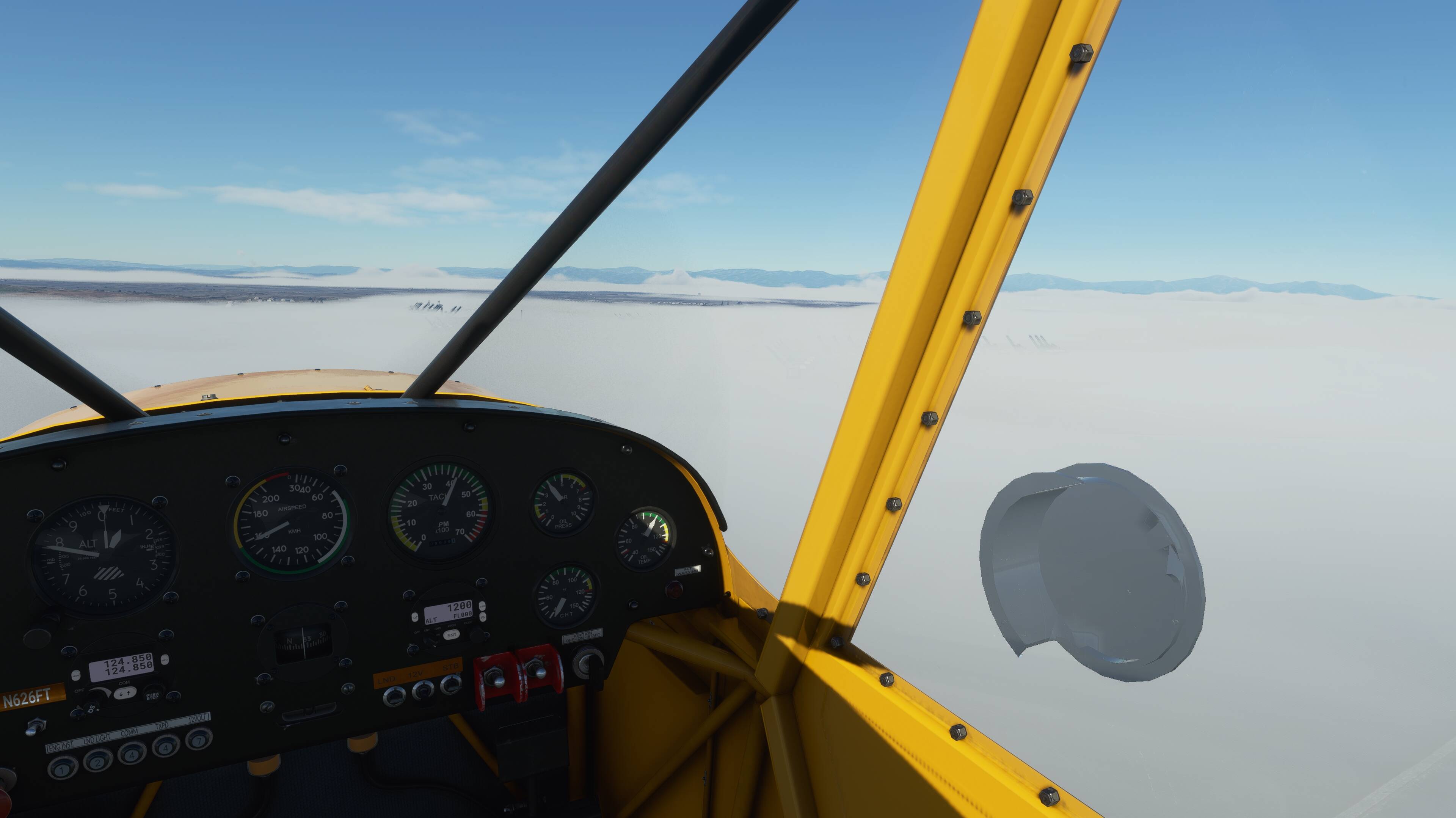
IFR flight in live conditions from EGNT to EGNH in the Bonanza, repeating the flight I tried yesterday that kept going to CTD, something that has rarely happened before. Cut down on the addons and didn’t try to use the LNM window in the sim - that caused at least one CTD yesterday.
It was snowing at EGNT - as IRL as I live next door to the airport - and shortly after takeoff started icing up. Kept the climb going to 10,000 but never got clear and although I don’t have icing affecting the performance switched on, the poor old Bonanza was struggling. But it gave me a chance to play with the prop/throttle/mixture settings whilst the G1000 for once did it’s thing without any input from me.
Not sure why but the initial ILS approach didn’t work so went “missed” and flew the procedure by hand back to the approach fix then selected APP mode and it flew it perfectly right down to minimums. But as the screen was still totally iced up had to land from the chase-plane view - bit hard but no damage recorded.
Having fun relearning my piloting skills and just love the Bonanza!
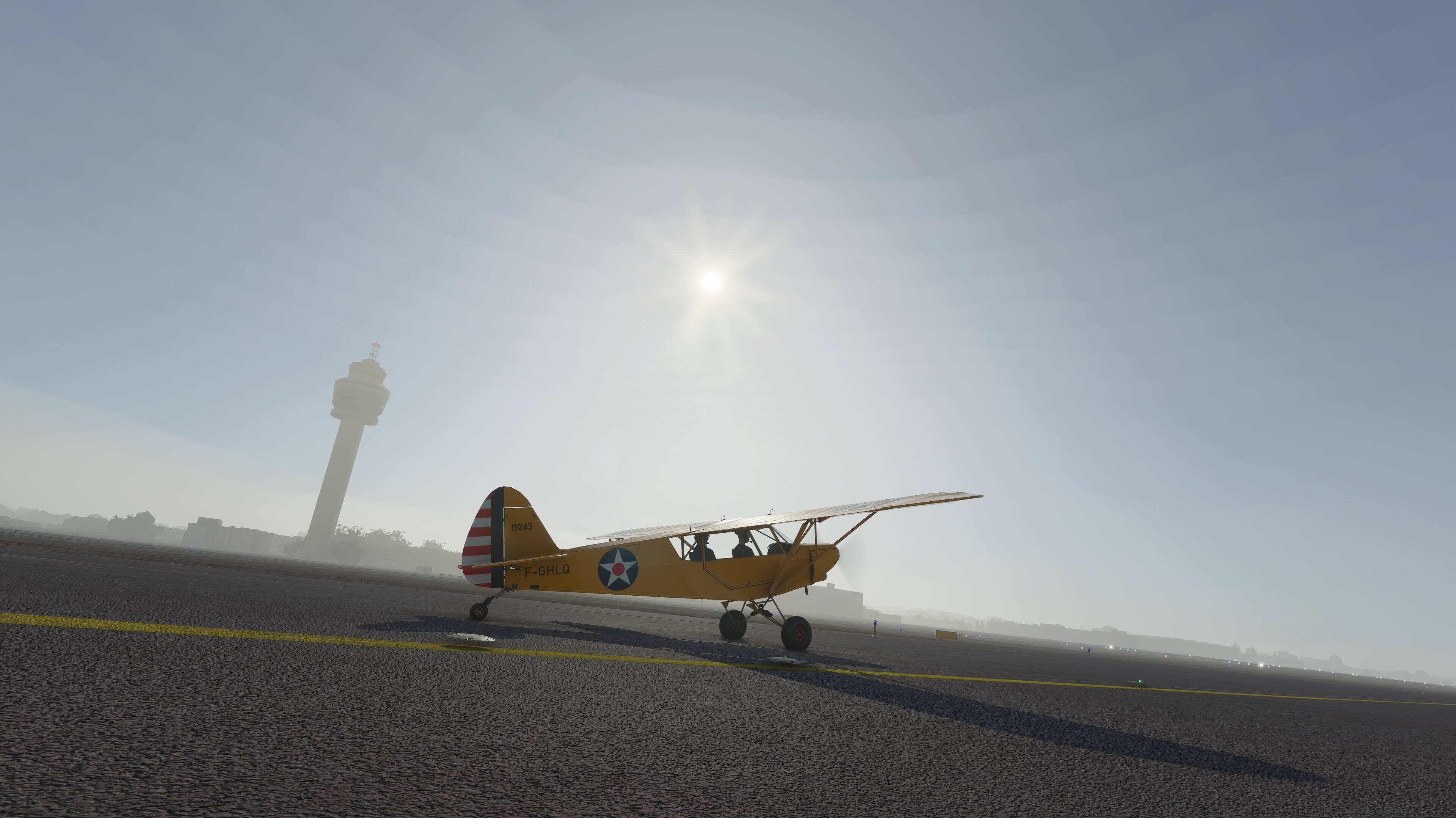
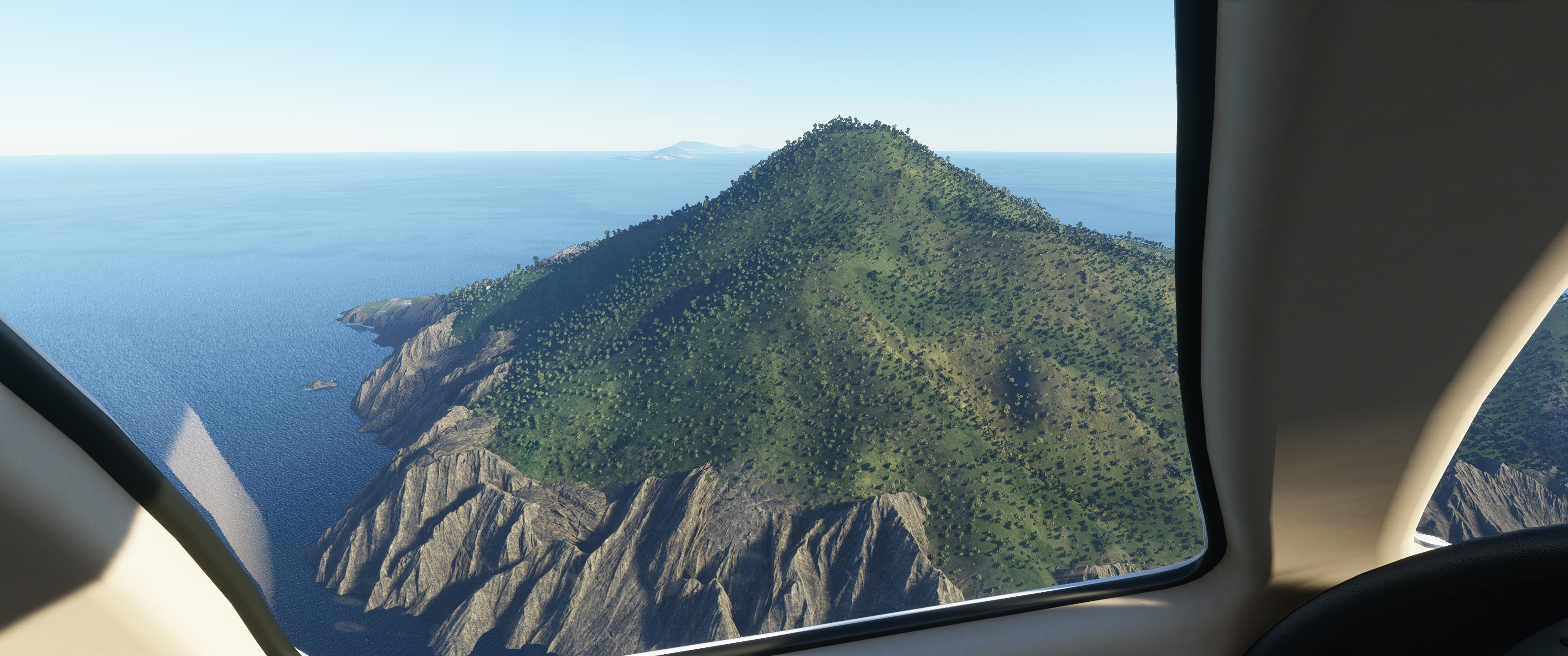
I did a test today to see how well the boosted Bonanza performs at Everest.
First of all, taking off at Lukla with 22 knot cross wind, nearly impossible. 3rd attempt I got it air born and out with full counter rudder while banking the plane (Still on the ground) not to get pushed off the runway into the fencing and buildings.
Going straight to Everest is a dead end, run aground type deal. However flying South to VNPL while climbing at FLC 100, then turning back to Everest makes it possible to fly in front of Everest and then hop over the ridge on the West side to continue on the back side (North side). 20K ft will do it with a couple hundred feet to spare, or less.
It takes a long time to climb that high in the Bonanza, yet it is now possible to fly to and around Everest. Before th update 19K ft on a nearly empty tank was about the maximum altitude. (Now it’s 22K ft)
Btw, the temperature is still very off at Everest. 72F? There’s snow cover all around, 22c weather, hmm. At the ground at Lukla right now, my plane reports 94F (34c), current weather there 1c (34F). Why is it subtropical there in FS2020! (It’s covered in snow at least) Is it mixing up Fahrenheit and Celcius?
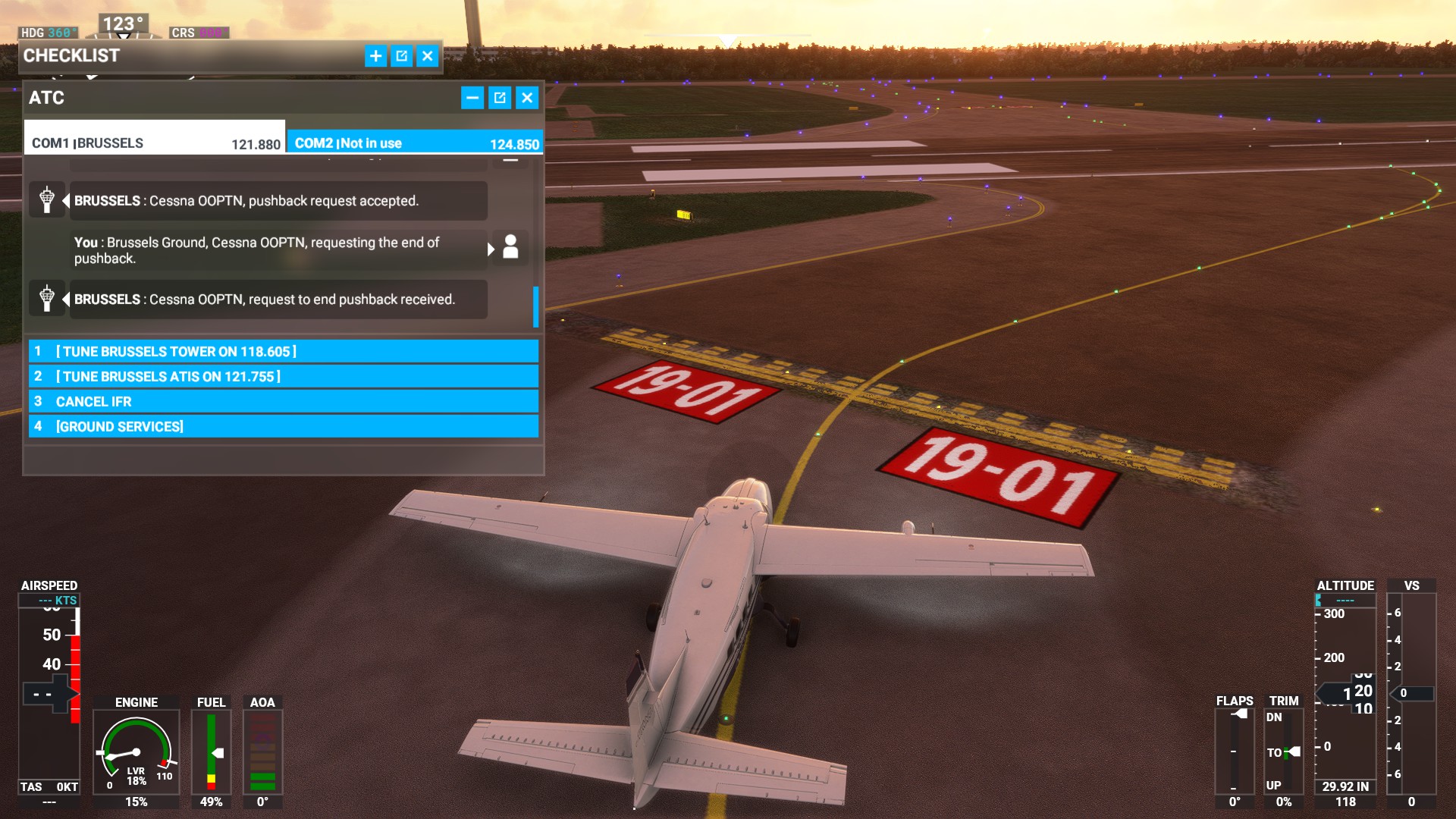
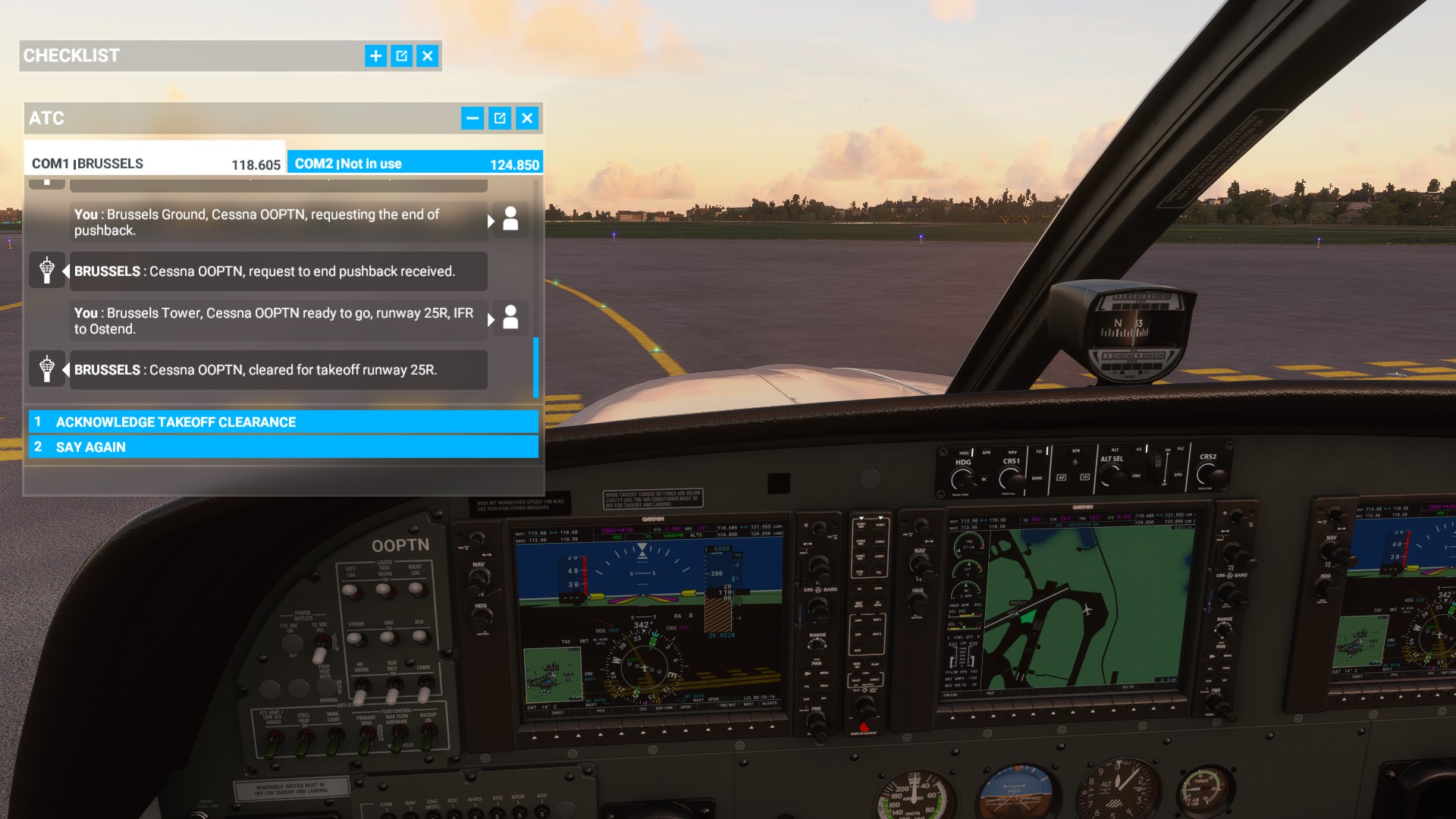
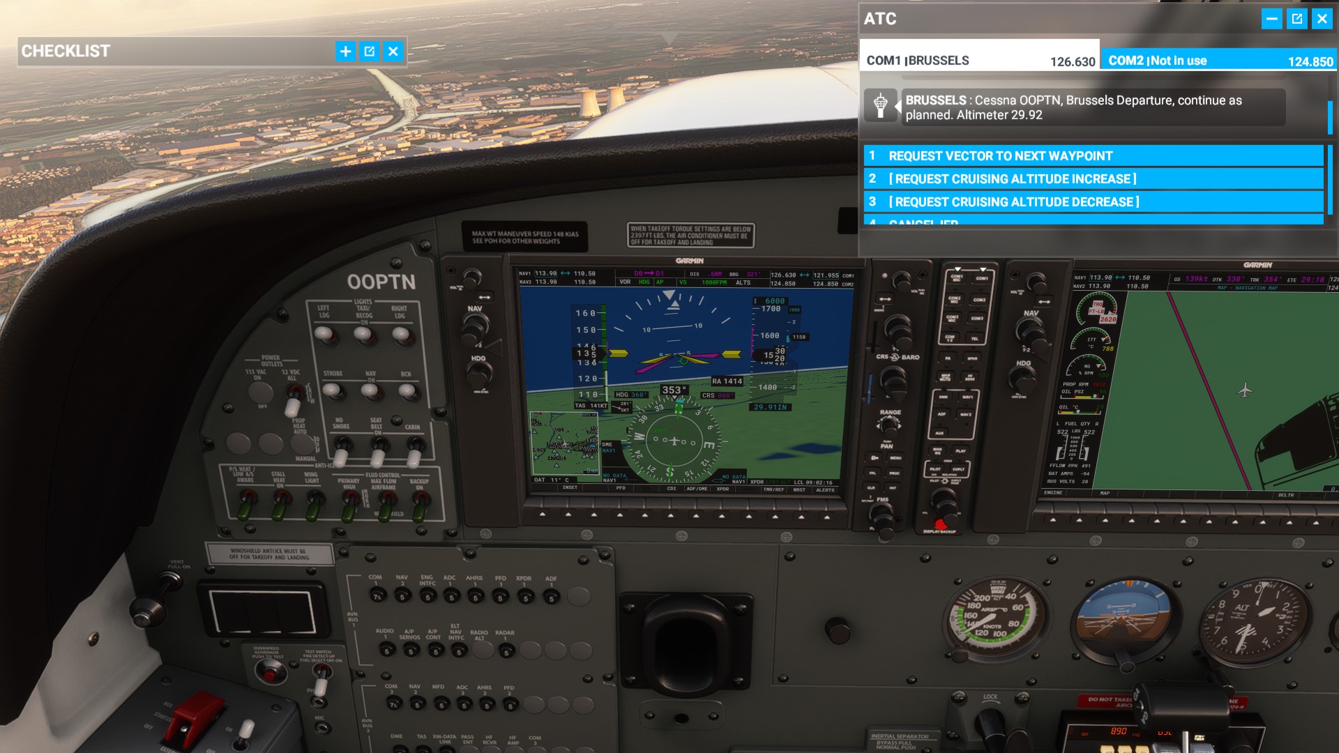
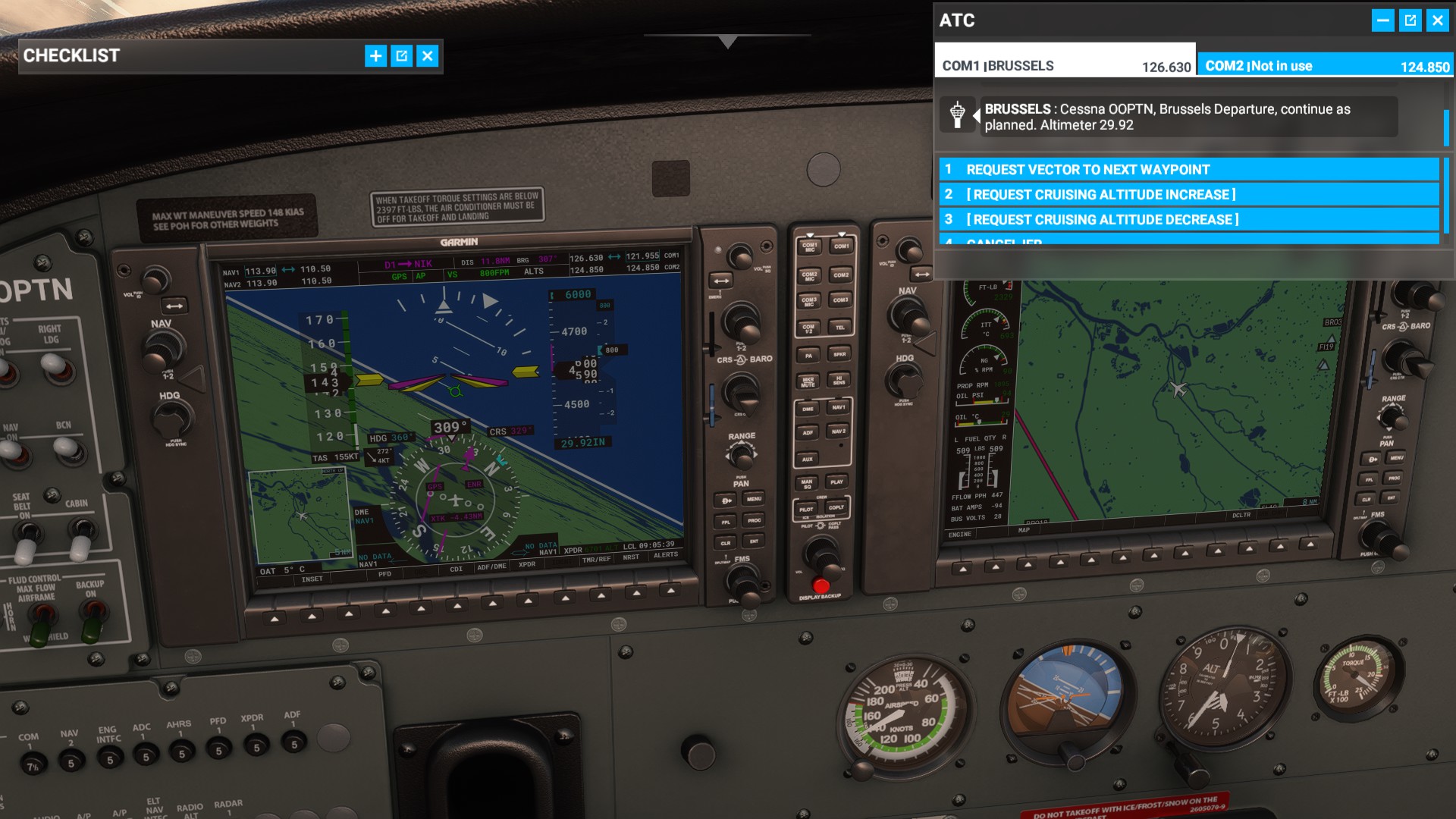
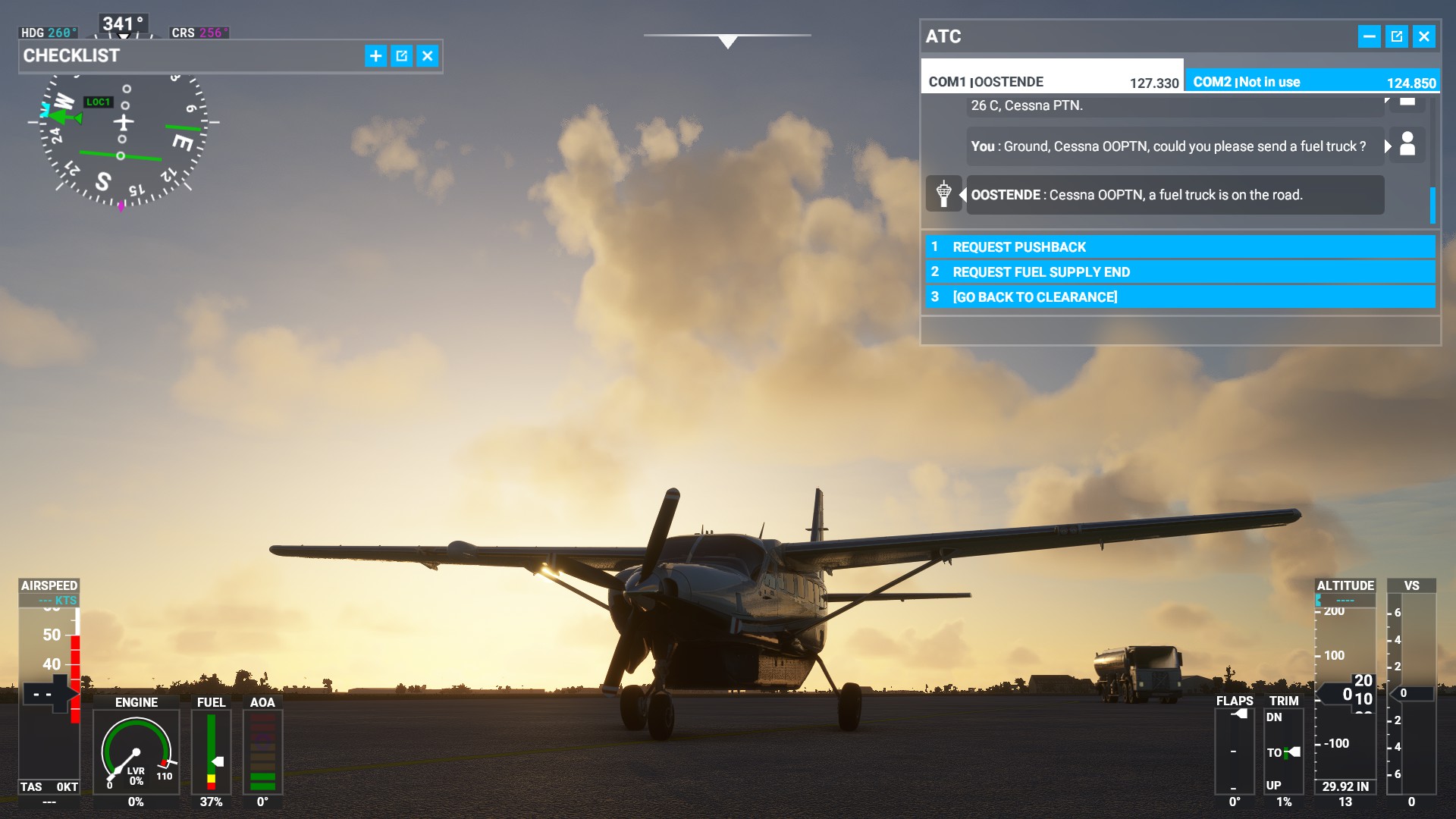
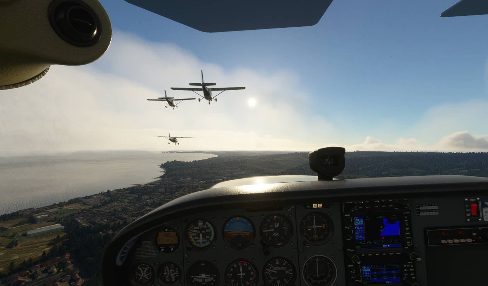
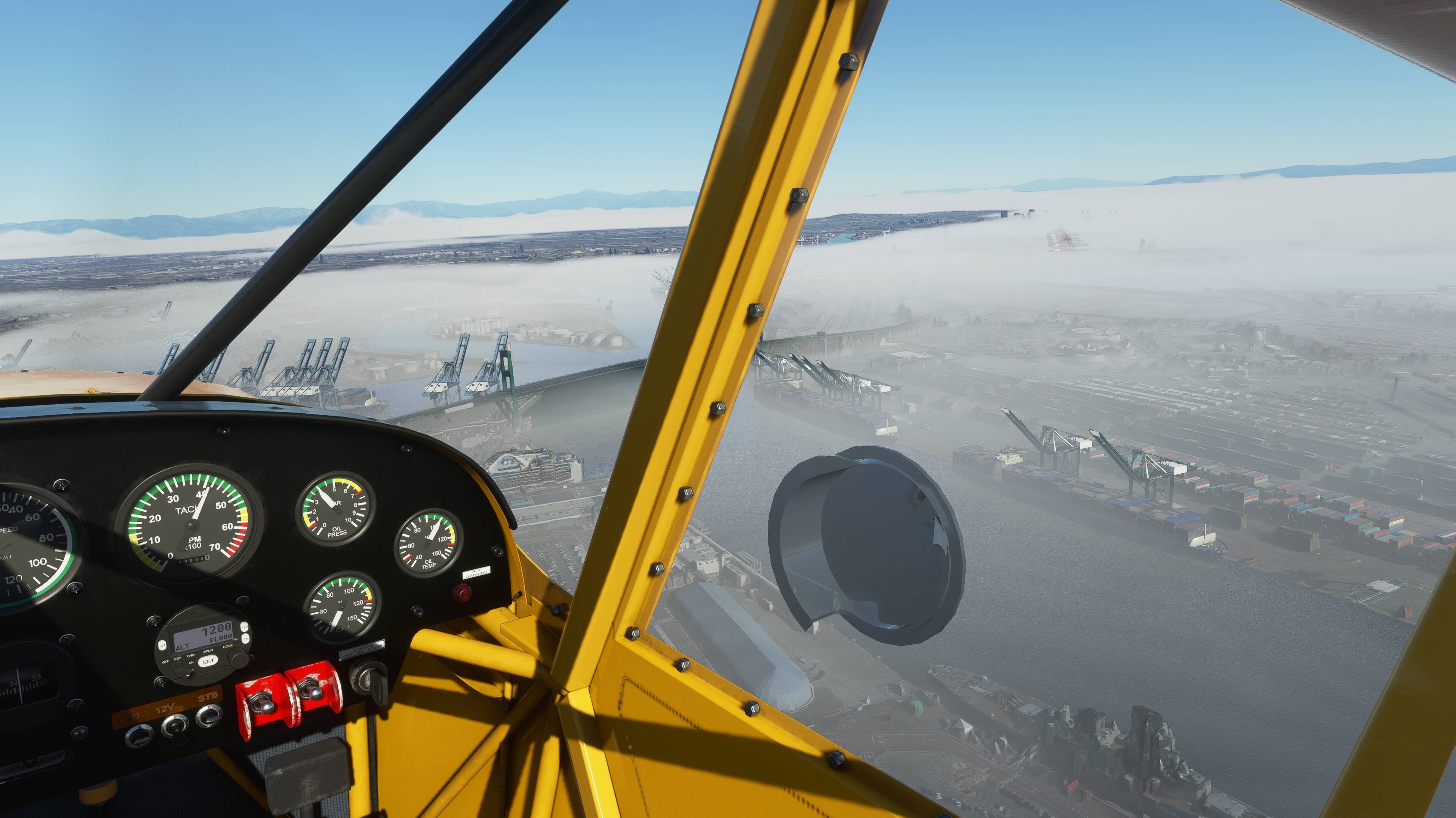
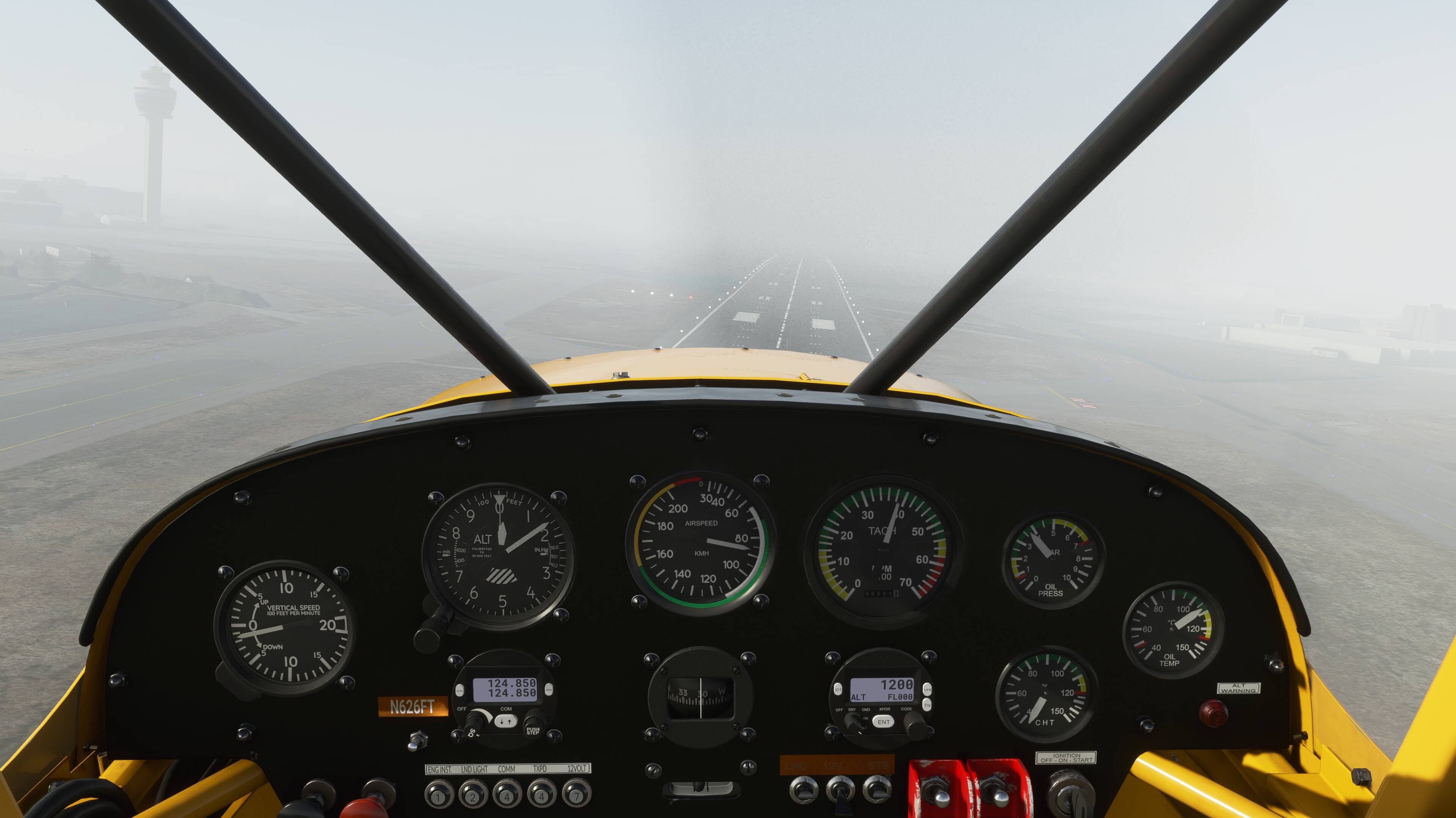
Tried a short IFR flight EBBR to EBOS, with the C208.
Decided to also use ATC. So armed with Skydemon, charts from the Belgian AIP, a flight-plan in the G1000 and ATC I was ready to go.
ATC was a little weird, because I learned (and should learn) the European ATC terminology which is a little different.
Stuff that felt off to what I learned for real, maybe I’m missing something:
I had to cross a runway, so I hold at the holding point, expecting me to be able to get clearance to cross the run-way. But I couldn’t find a way to do that, so I just crossed it.
manual FP and route DOSEL-EBONY-ARRAN-NONUP-CULIN-TARAL-RIVET3
Programmed it all in 2D, requested pushback to kick into VR, look at the FP and it is blank, no magenta line and after taking off anyway to see if the plan was there but the display had broken… no route info either!
REPEAT ABOVE… this time all in VR, with no problems. - this has occured to me before… loss of FP when changing from/to VR. I thoughtit was just hte display, but certainly not thhis time
A momentary brain fade resulted in CRZ at 350knots at FL350, instead of 310kn. relevant for below.
Checked the new fuel consumption rate., with a timer, since I don’t think it is displayed
Average rate: 16.9 x 1000lb/hr
TO to CRZ : 24 (18min)
CRZ phase: 17.8 (40min)
Dec - Gate: 13.3 (37min)
definitely reduced from my last check, it was around 28
Can we get a chart for takeoff trim? I only have the PMDG guide, and that’s a 747-400… and in kilograms requiring a conversion
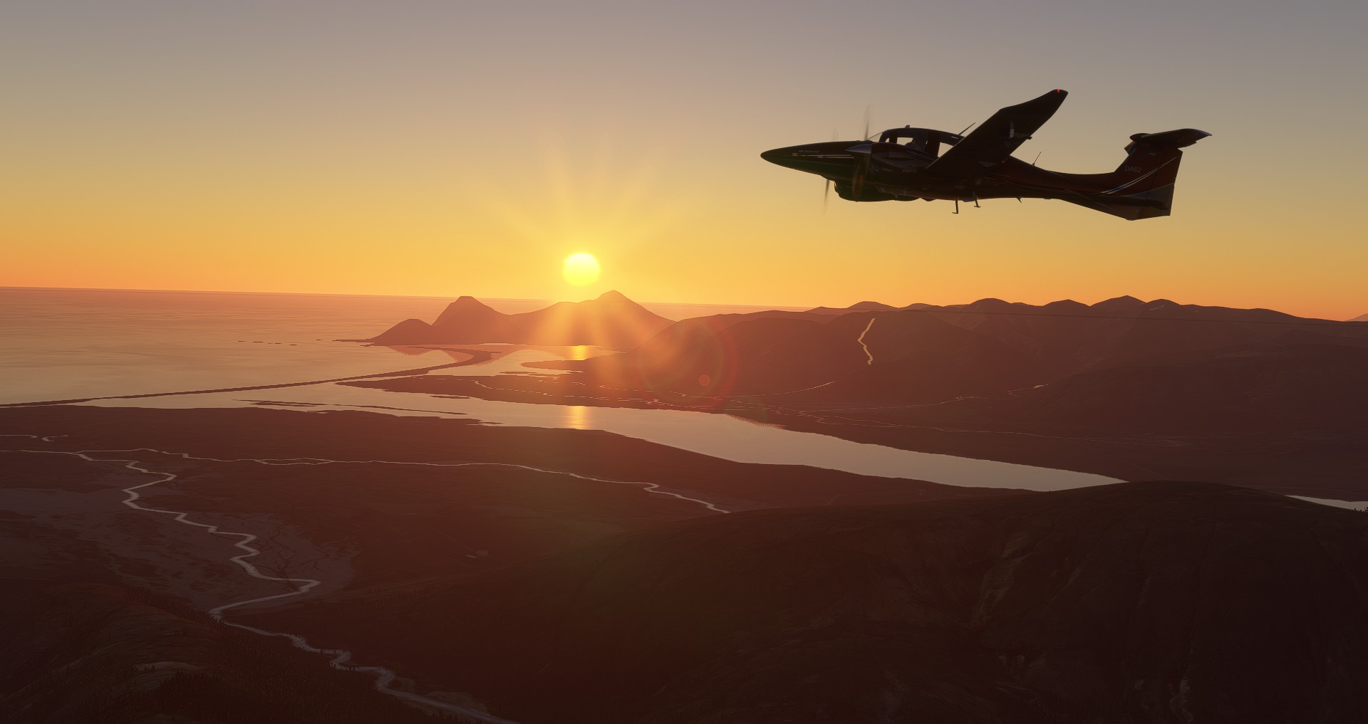
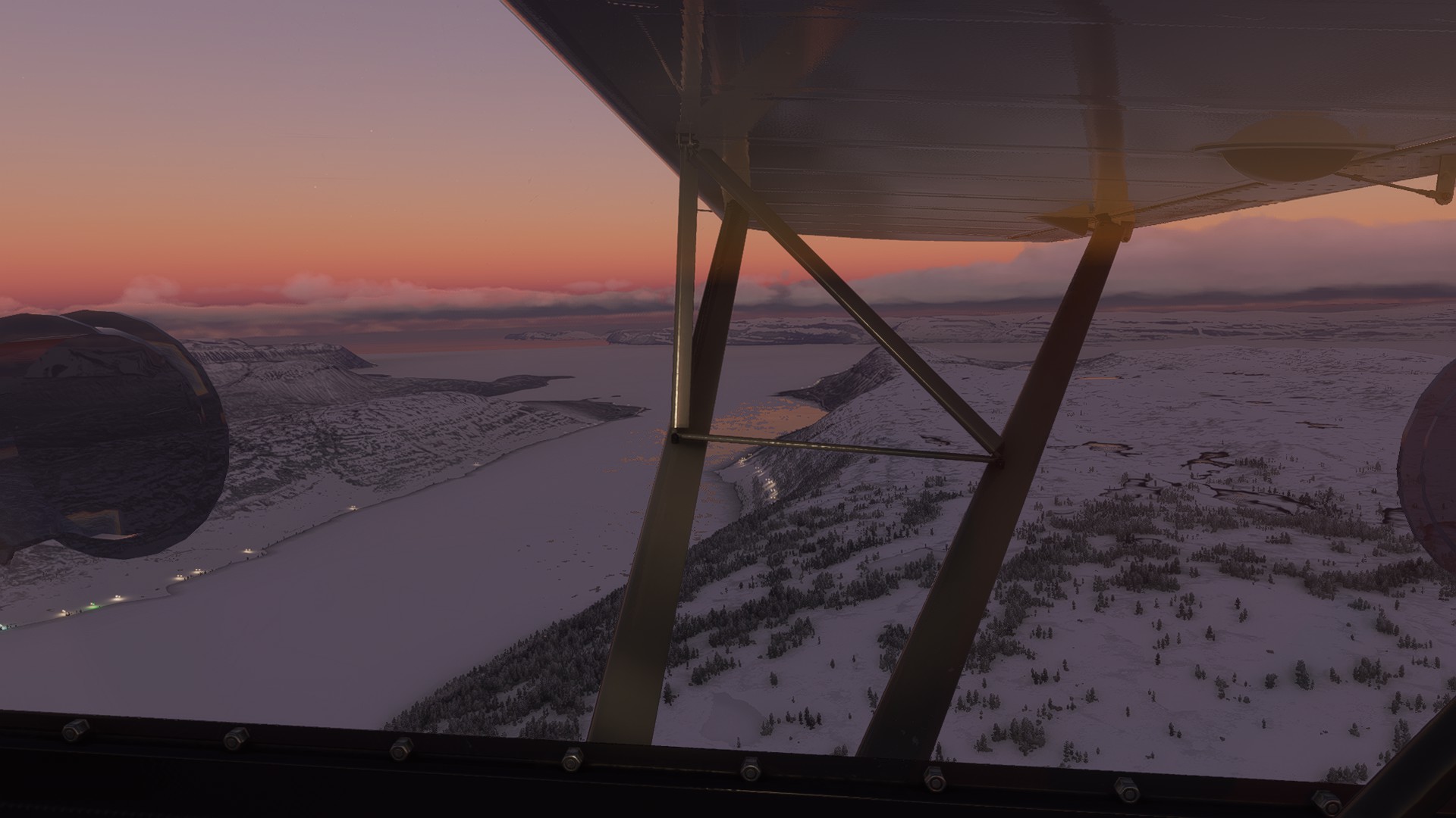
Fora previous poster… pretty sure I saw you around Iceland (pic below) WOW it’s a short day sunrise to sunset was something like 3 hours!!!
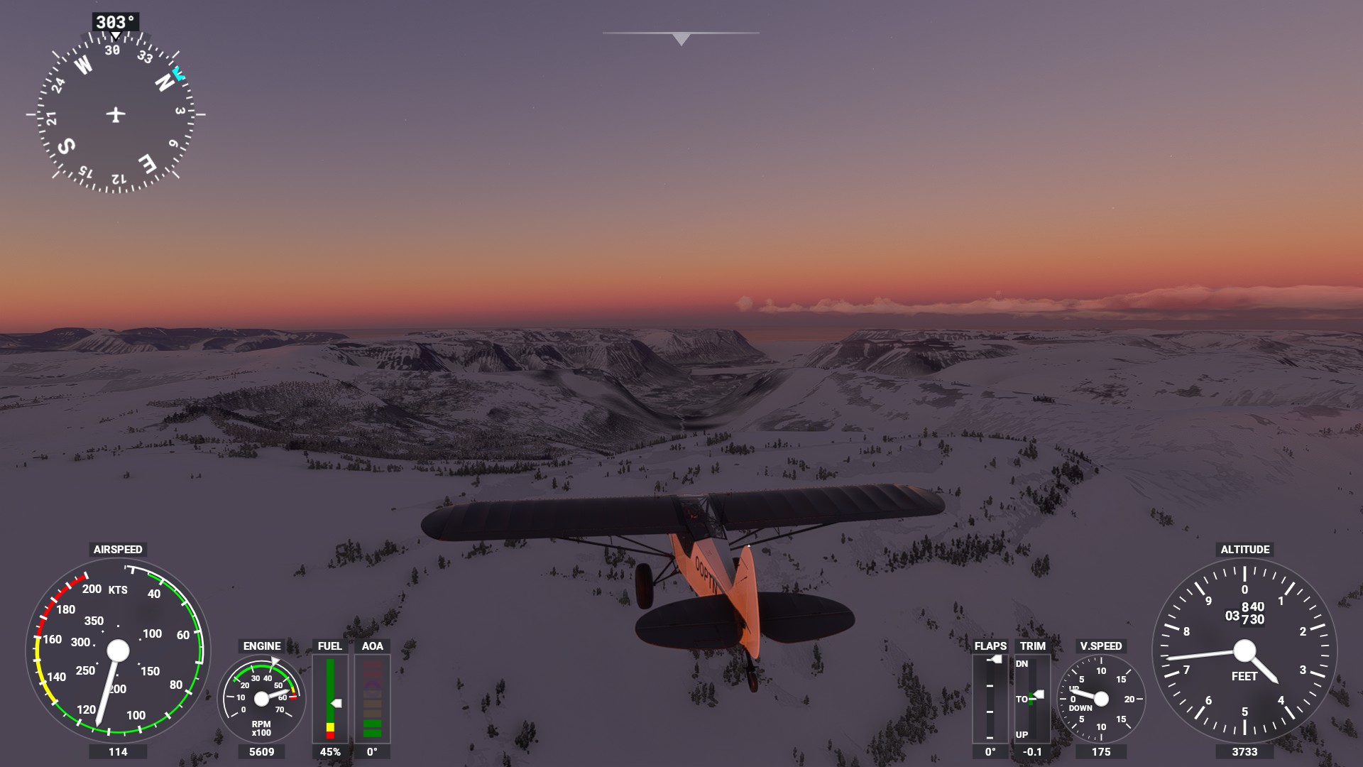
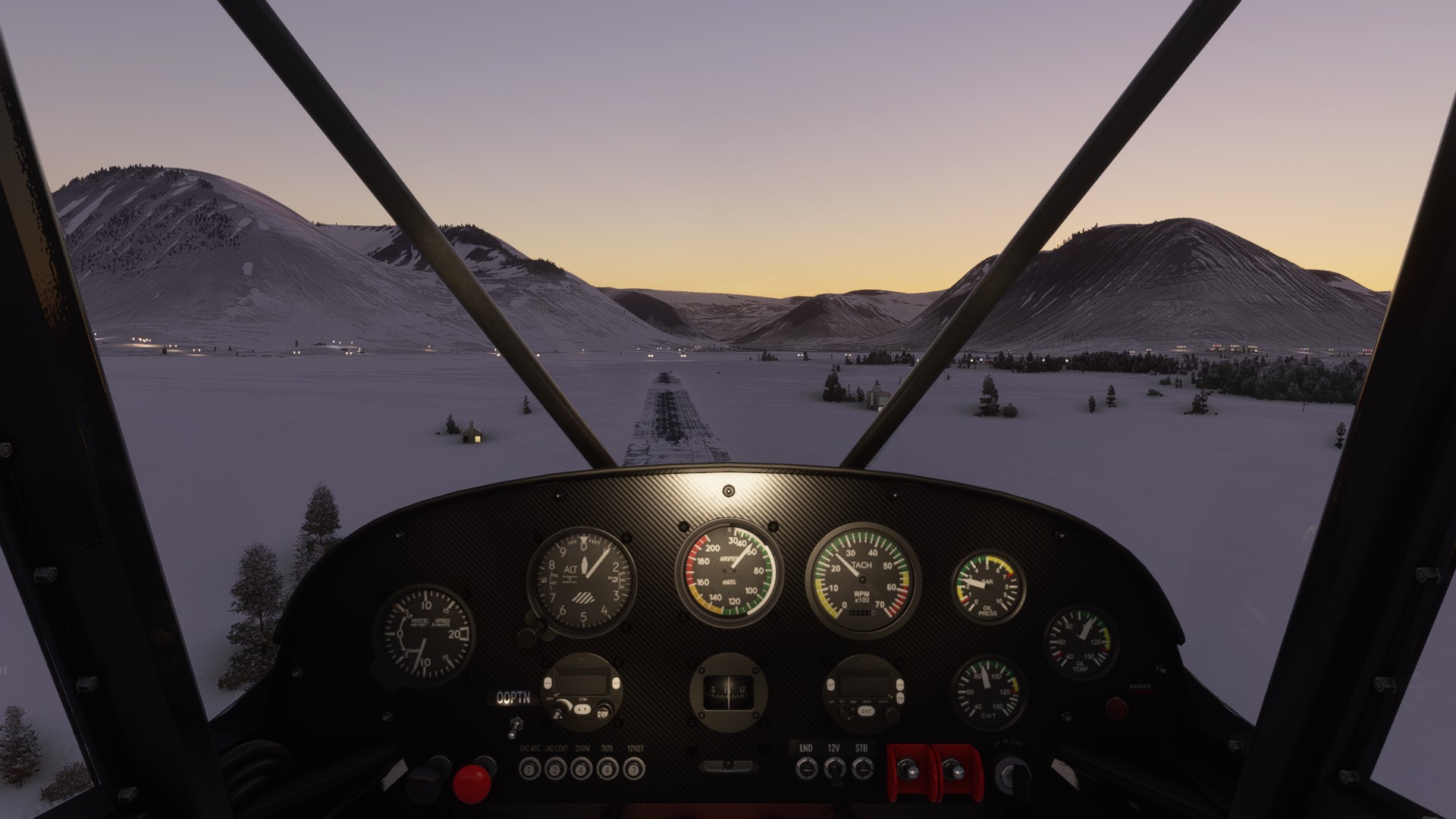
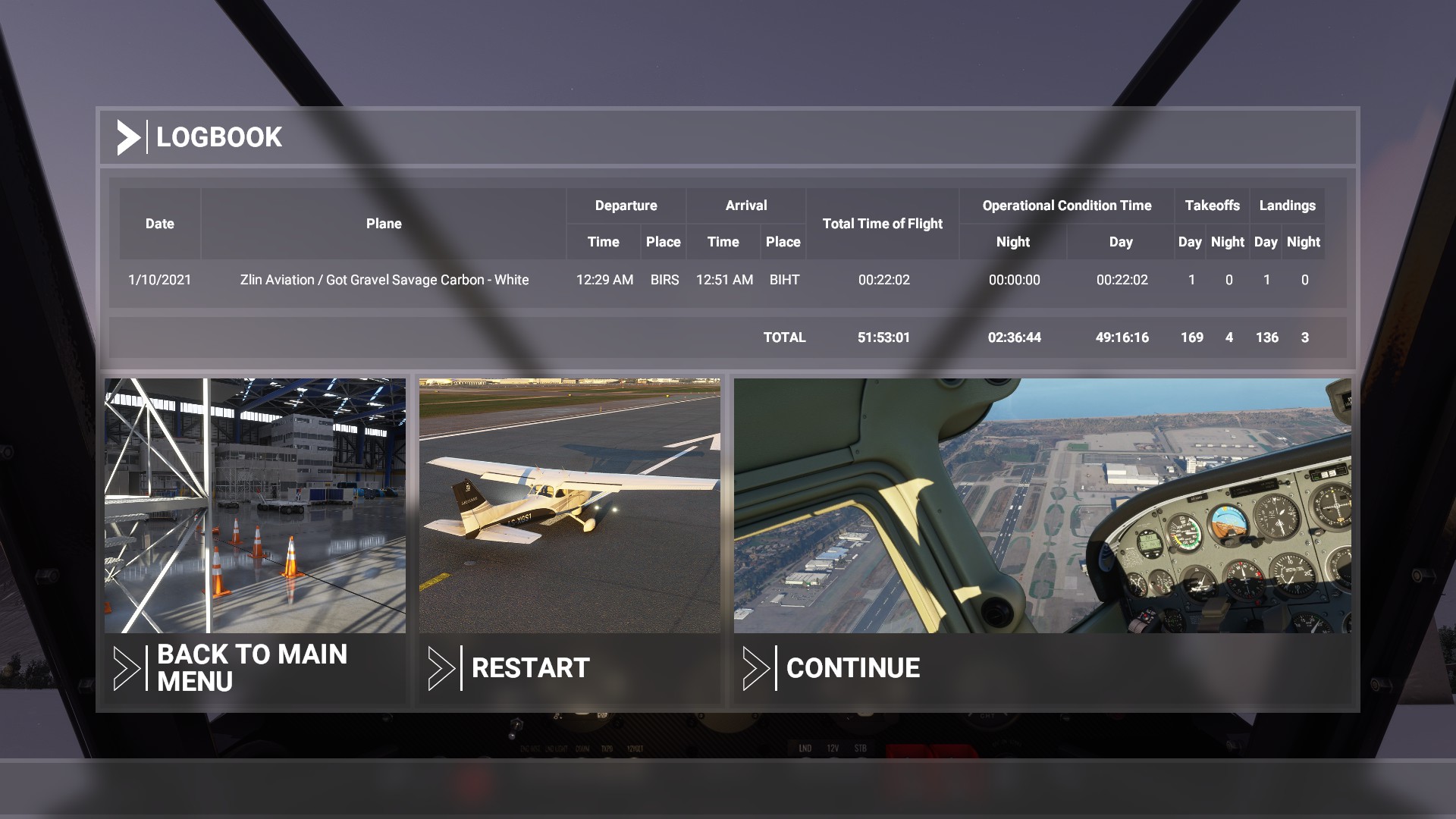
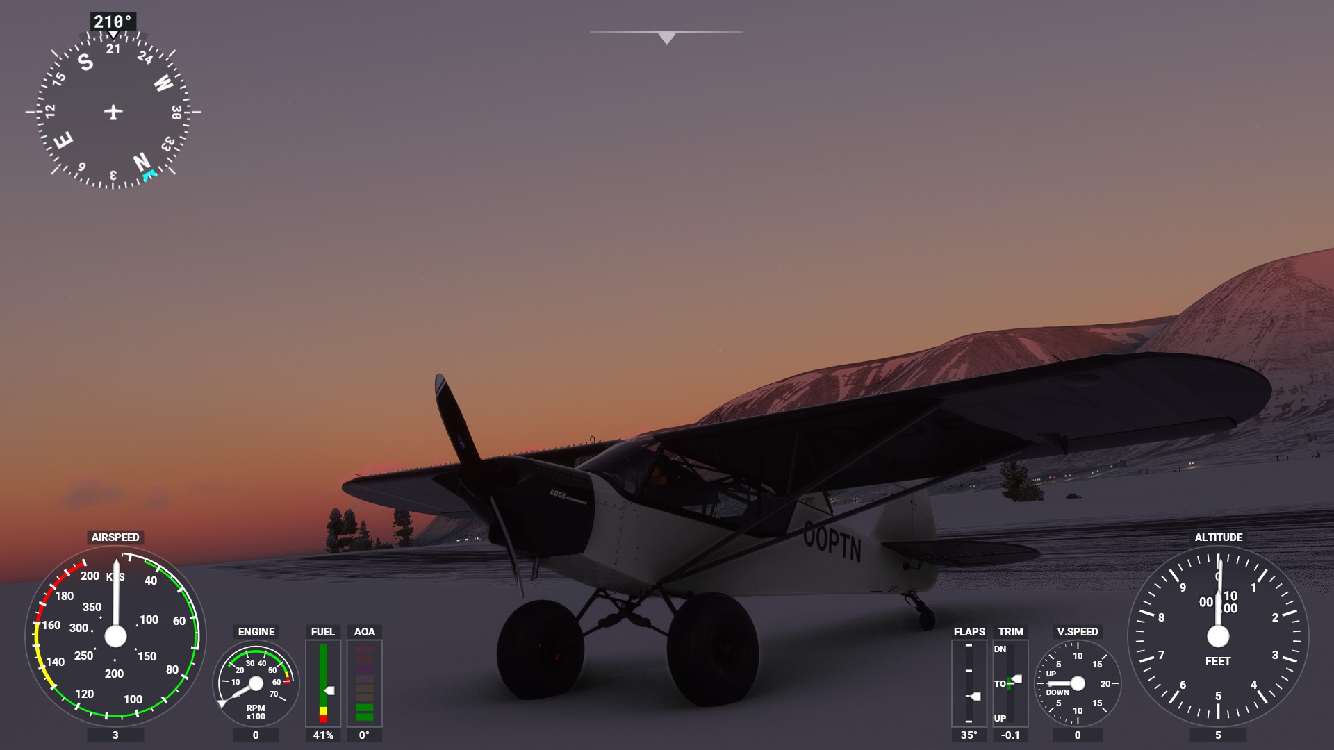
Made some progress with the savage carbon in iceland: BIRS - BIIS
Weather looked good on Windy, cold but no low clouds where I was going. Little wind. This matched the weather in the Sim very well.
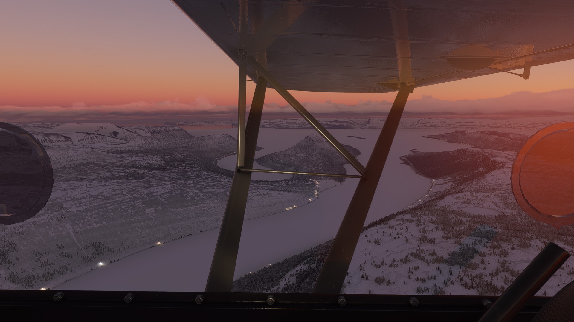
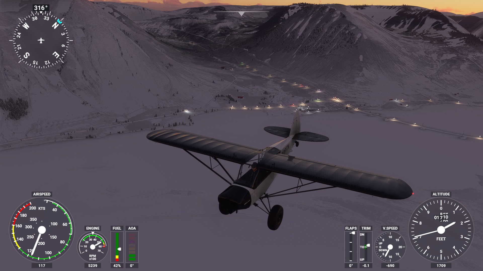
I mostly navigated counting the creeks I passed on my route. Eventually, I got to the creek that I thought BIIS was located in. But I couldn’t find it where I thought it would be, although I saw another landmark (a bridge), so that had me confused. But there was another thing that looked like an airfield partly snowed under - on the other side of the water.
So I landed there and then I wanted to see if the sim saw it as an airfield.
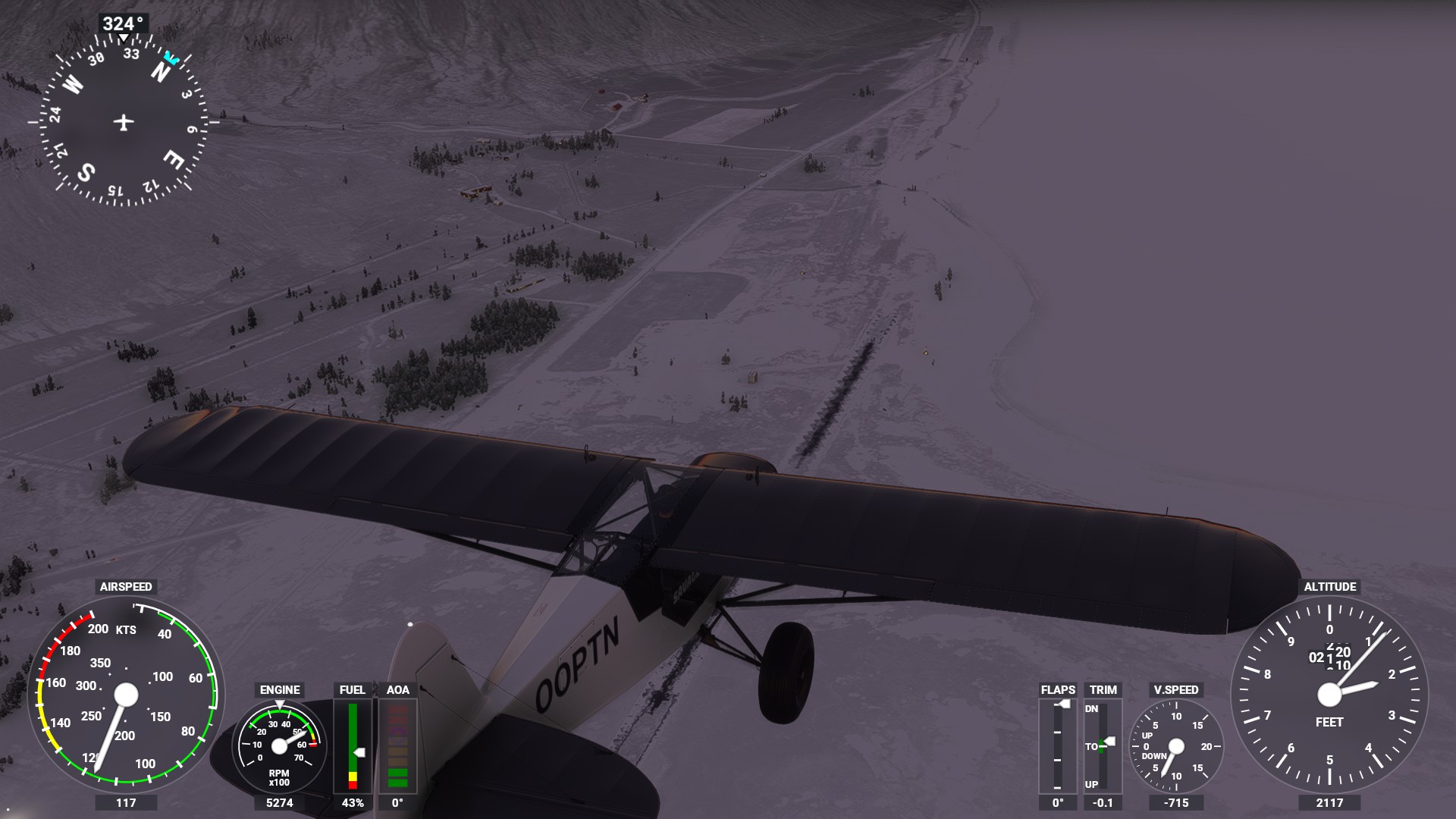
It did, turns out I was at BIHT, Holt! That’s actually quite a way off! Not sure how I got over there. That’s bad. Also, the land-mark (the bridge) has a similar twin in the creek where BIHT is … hence my confusion.
On the plus-side, I flew further than originally thought. But if we’re honest, I got lost. That’s the first time in this trip (which started in Belgium).
Some patch of land to cross now, this is where it went wrong? The creek in front of me here is where Holt is, but I assumed it was where I needed to be … I was well off course here.
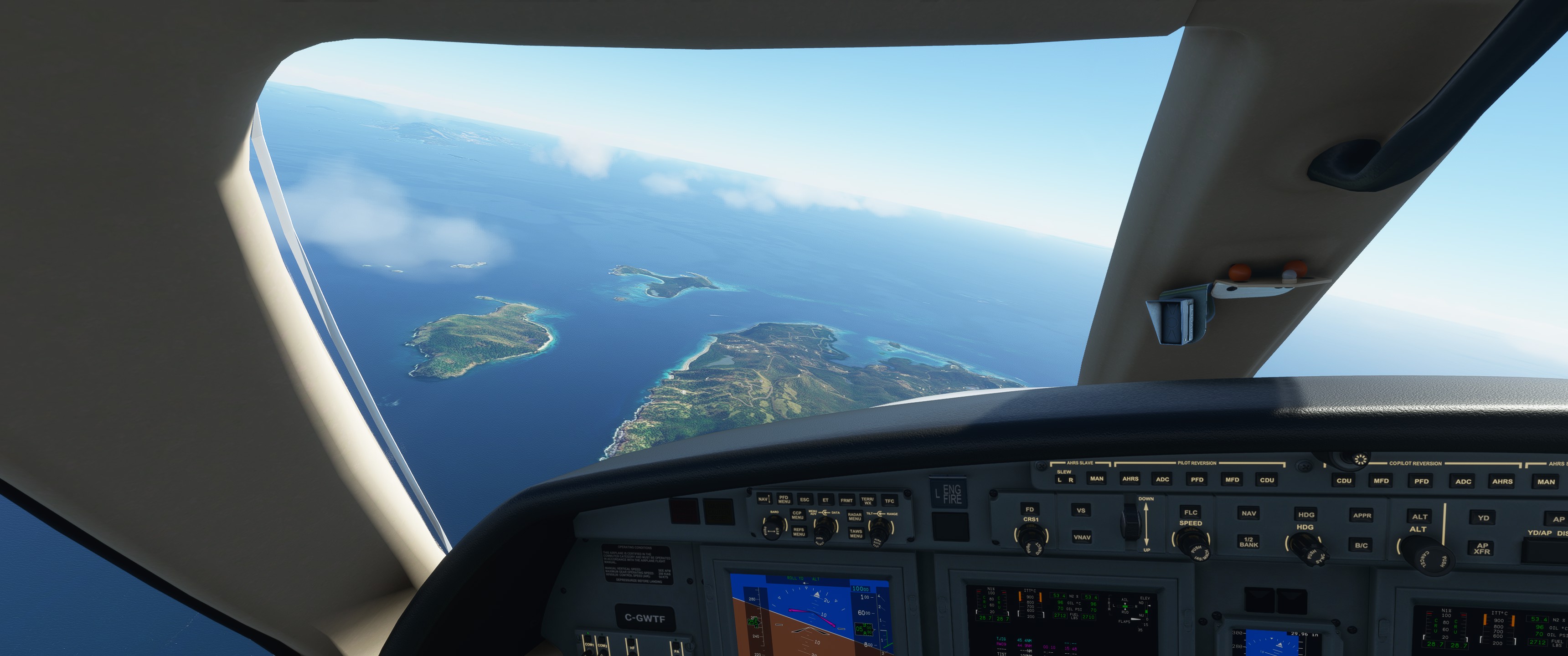
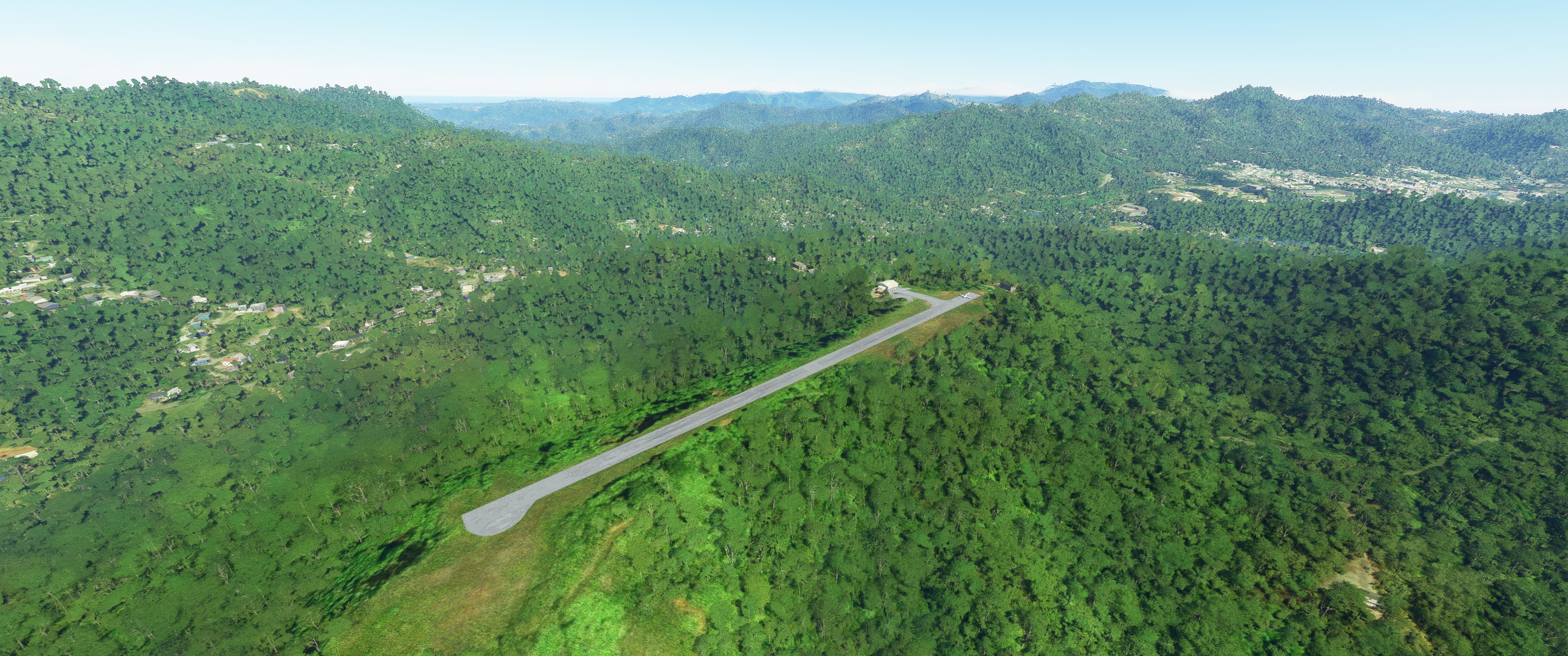
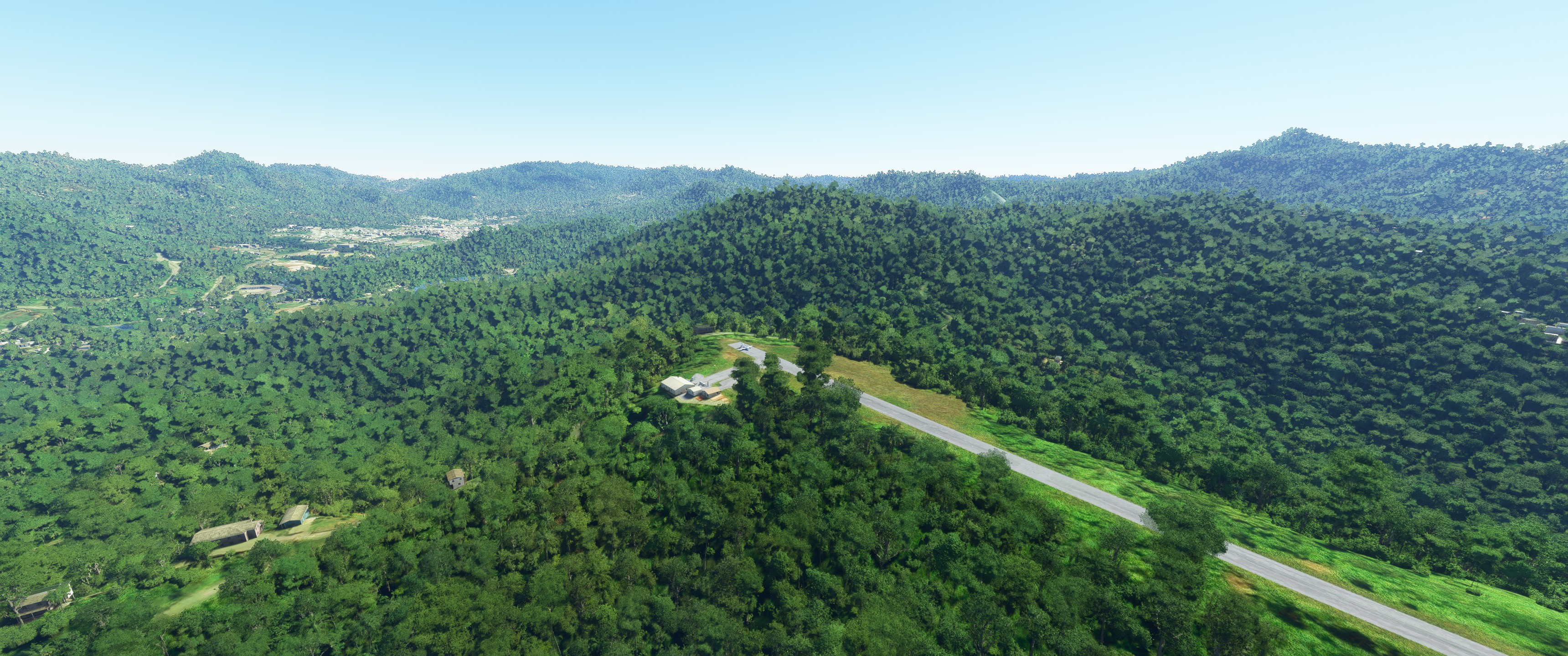
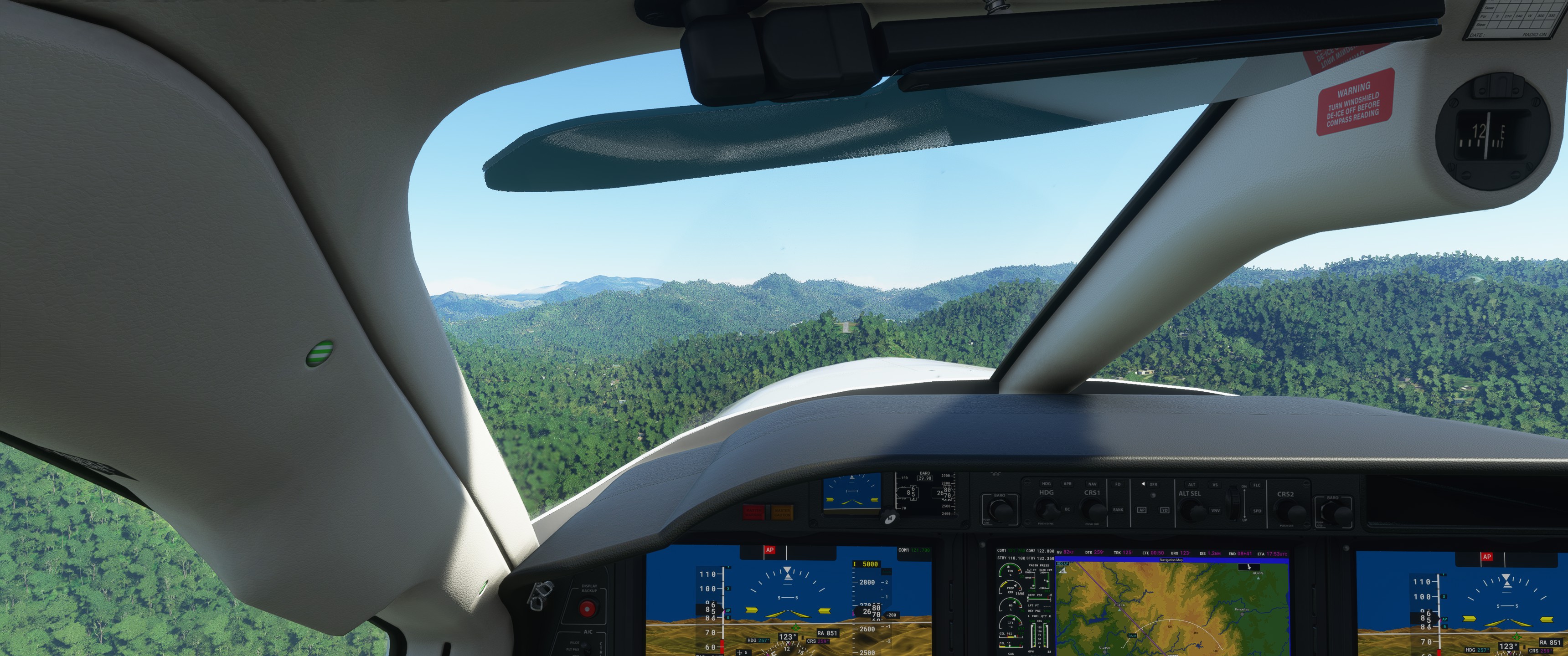
Correct,SABA in the Caribbean! Default Scenery. Asobo custom did the island obviously. I only did a low approach in the jet after sightseeing the island… bring something that can land short if you want to visit as that is a seriously short strip.